Joker, Jester Mountain and Iron Bear - 2.2.2016
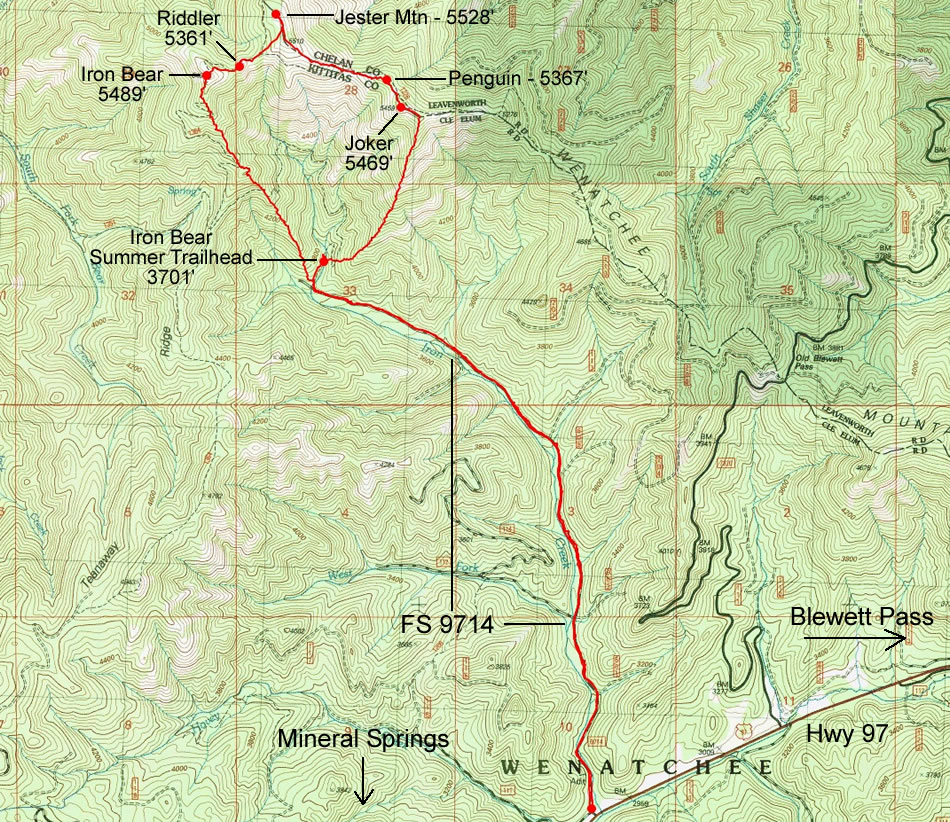
A photo of the GPS track for our snowshoe trip to Joker, Penguin, Jester, Riddler and Iron Bear... 10.4 miles roundtrip, gaining ~3200 feet of elevation.
|
We parked (2946') just off of Hwy 97 at the junction with FS-9714... room for several cars to park in the plowed area.
|
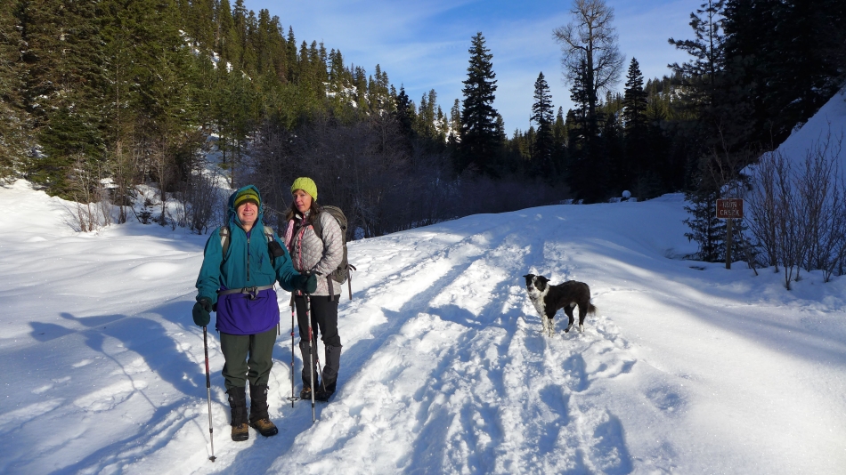
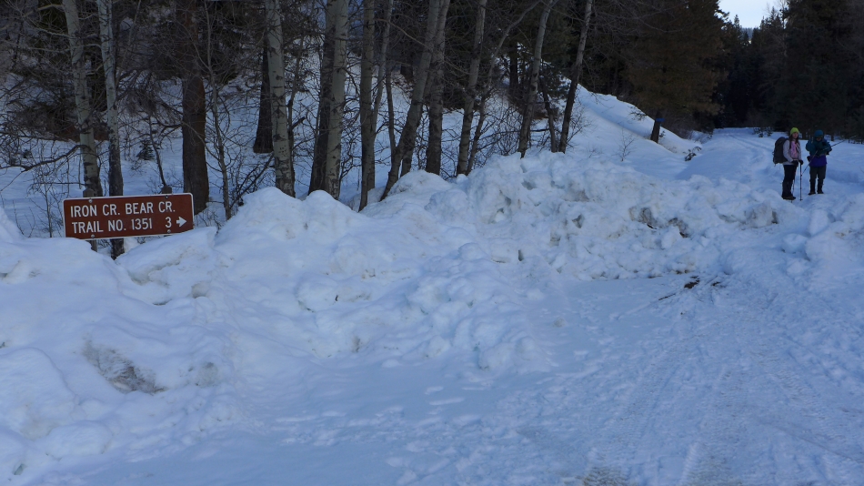
Starting out in 17 degree weather, but the sun made it feel a little warmer. We were able to make the 3.2 mile road walk without snowshoes thanks to the people who came before us.
|
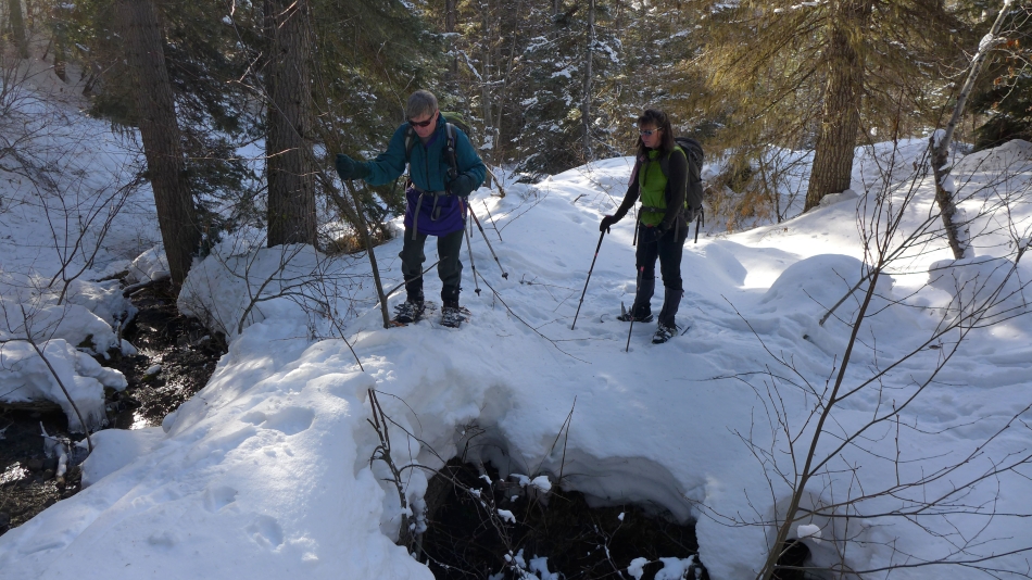
Shortly after reaching the summer trailhead (3701') for Iron Bear we crossed Iron Creek on this snow covered log so we could start up the south ridge of Joker.
|
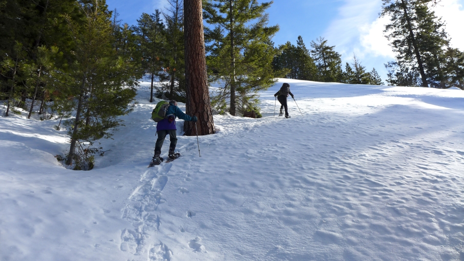
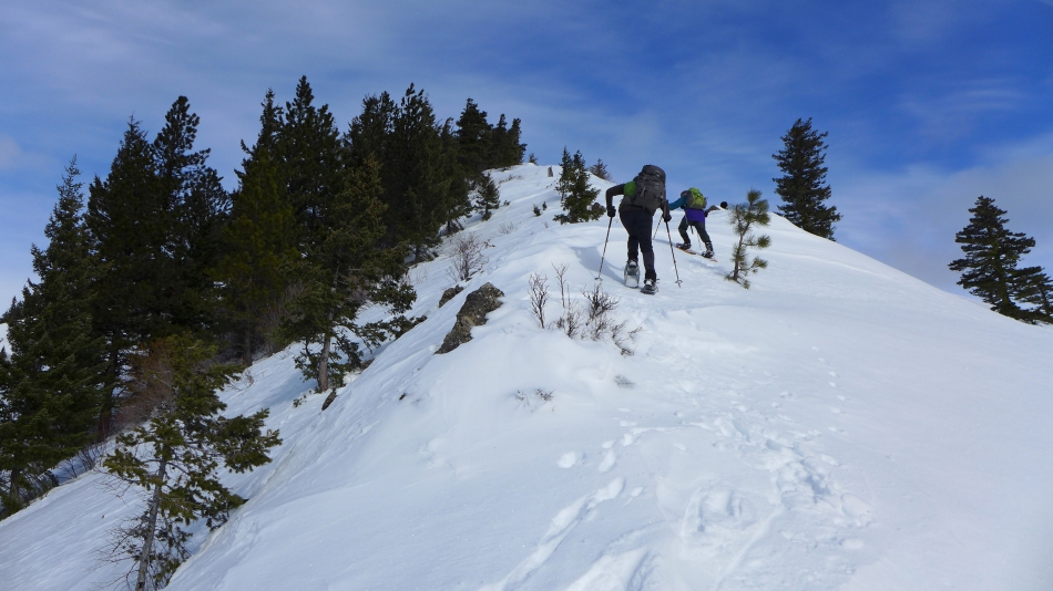
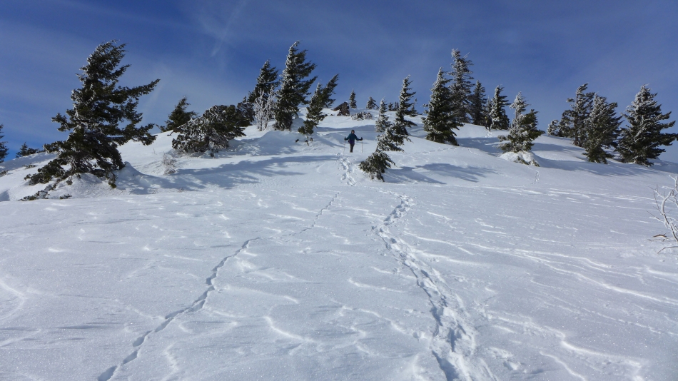
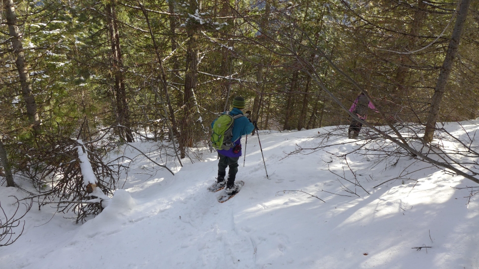
We put on our snowshoes after making the 3.2 mile road walk... and are heading steeply uphill for the south ridge of Joker.
|
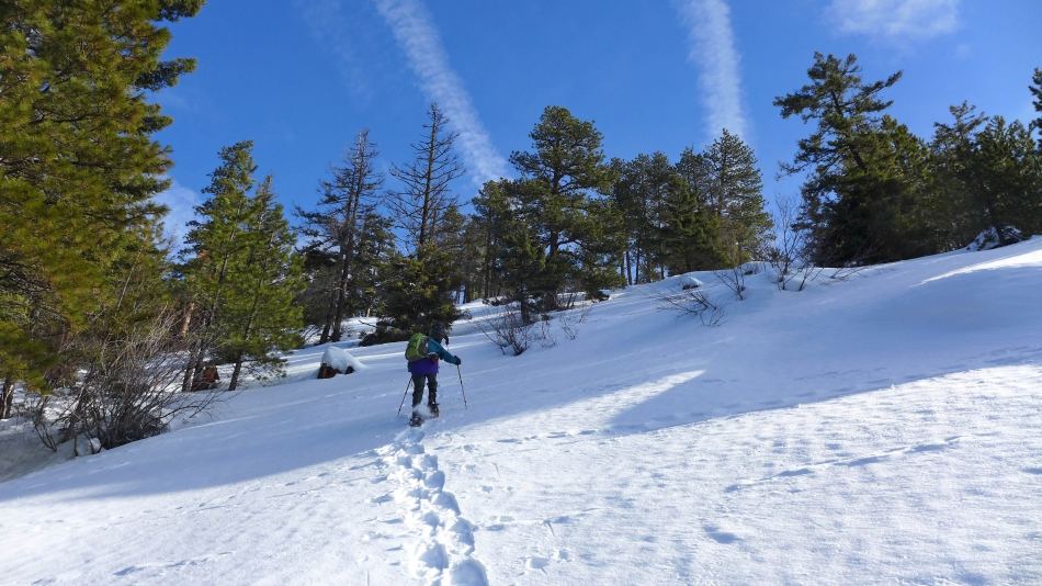
Still trying to get to the south ridge of Joker.
|
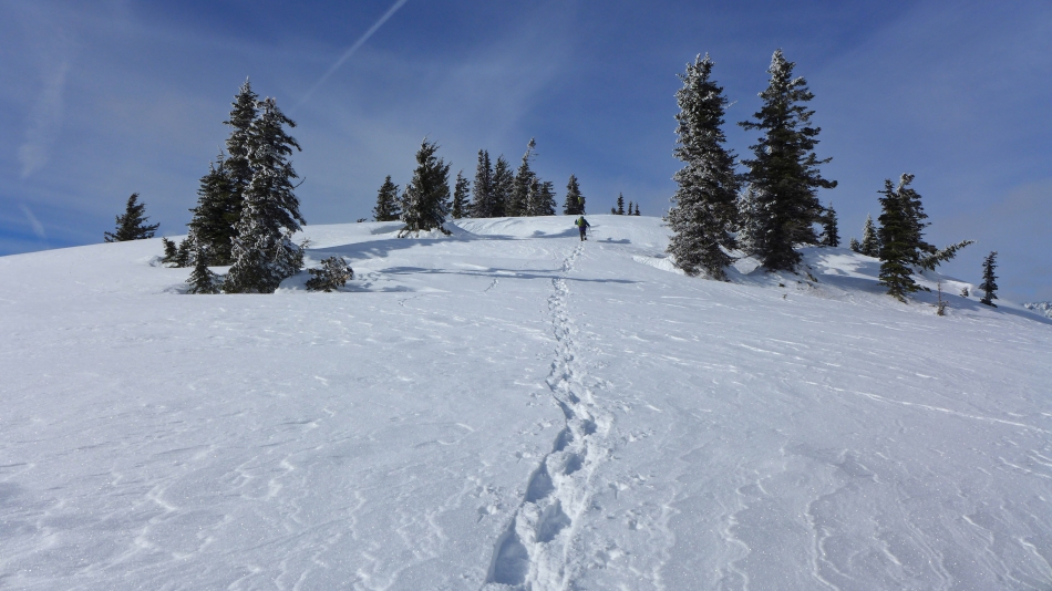
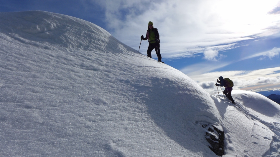
Finally on the ridge... where the terrain is less steep in places.
|
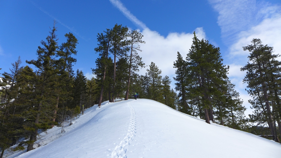
Continuing up the south ridge of Joker... looking over at future targets for later in the day.
|
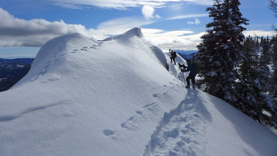
The south ridge of Joker is steep in places.
|
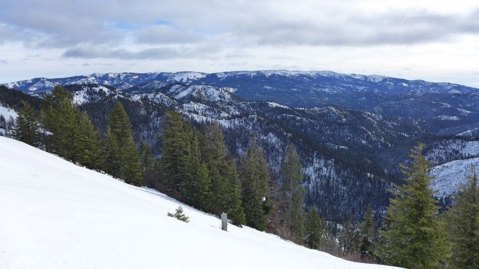
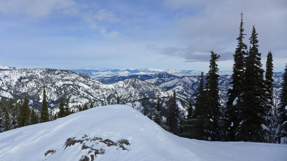
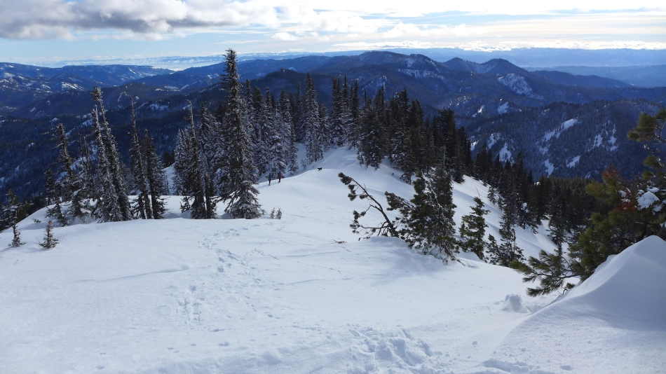
Continuing up the south ridge of Joker... looking SE across Roughhouse Mtn, Old Pass Hill and Cairn Hill to Diamond Head and Table Mountain on the horizon.
|
Still going up... but now we can see Joker in the distance on the left.
|
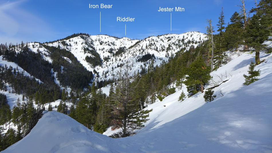
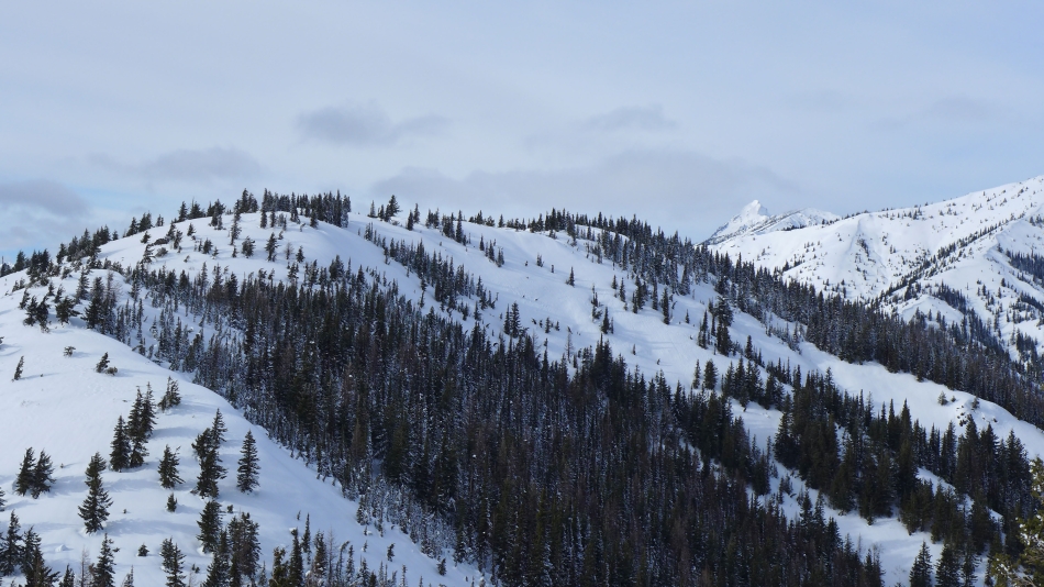
Still on the ridge leading to Joker... but now high enough to see Freedom Peak and Navaho Peak through the gap between Iron Bear (left) and Jester Mtn on the right.
|
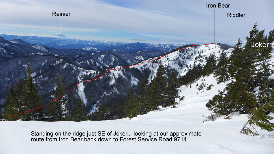
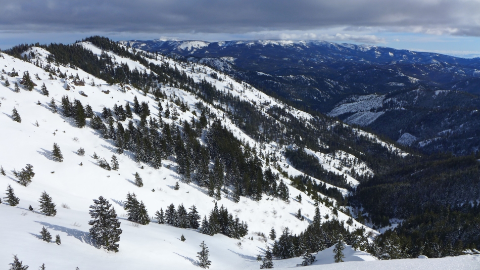
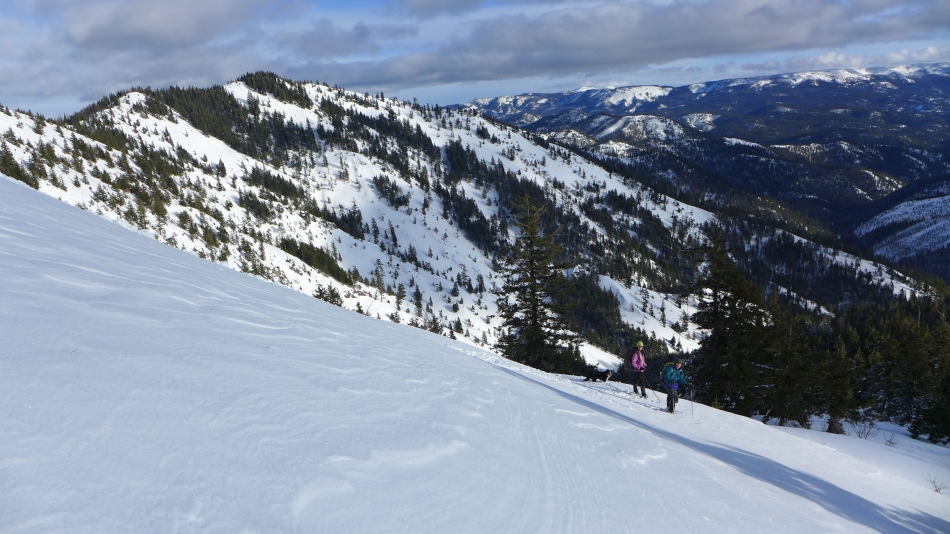
Standing on the ridge SE of Joker... looking at the approximate route we will use at the end of the day to get back down to FS-9714.
|

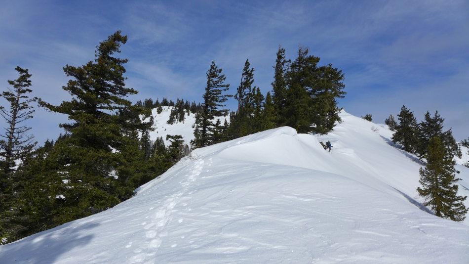
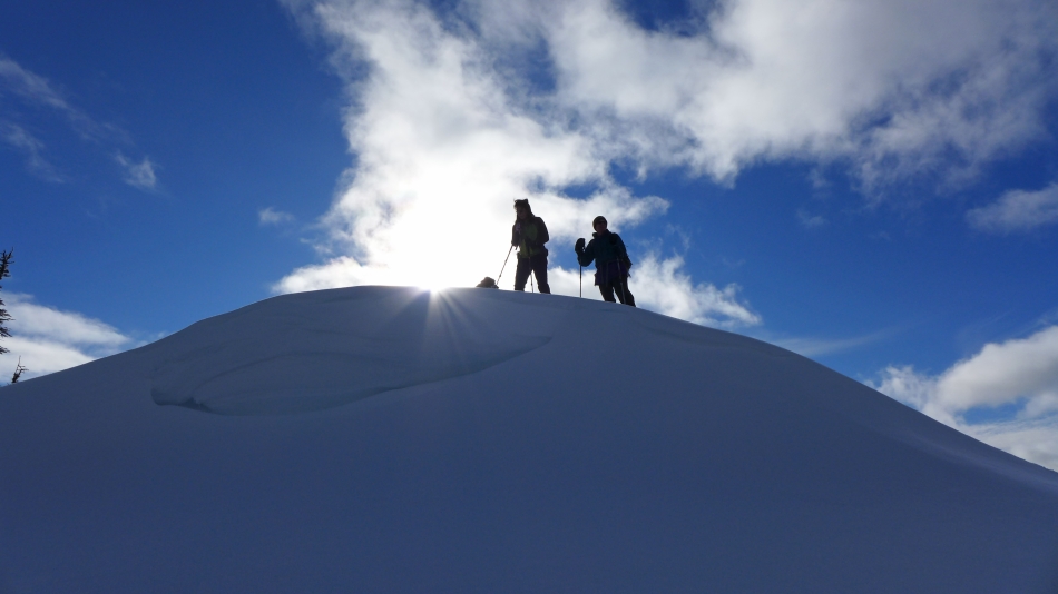
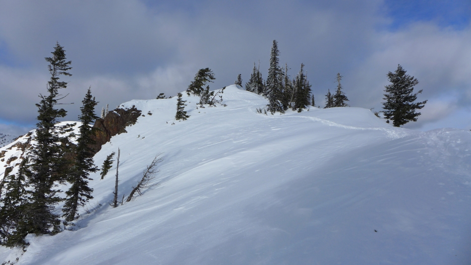
Almost on the partially treed summit of Joker.
|
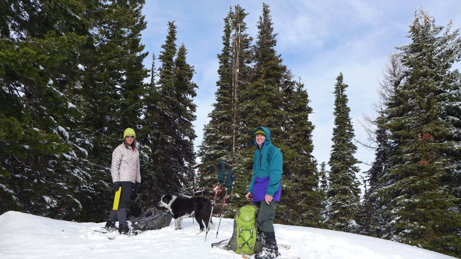
Snowdog, Izzy and rodman on the summit (5469') of Joker.
|
Looking SW from the Joker summit... following Teanaway Ridge in the center of the photo out to Red Top Mountain... with Mt. Rainier in the distance on the far right.
|
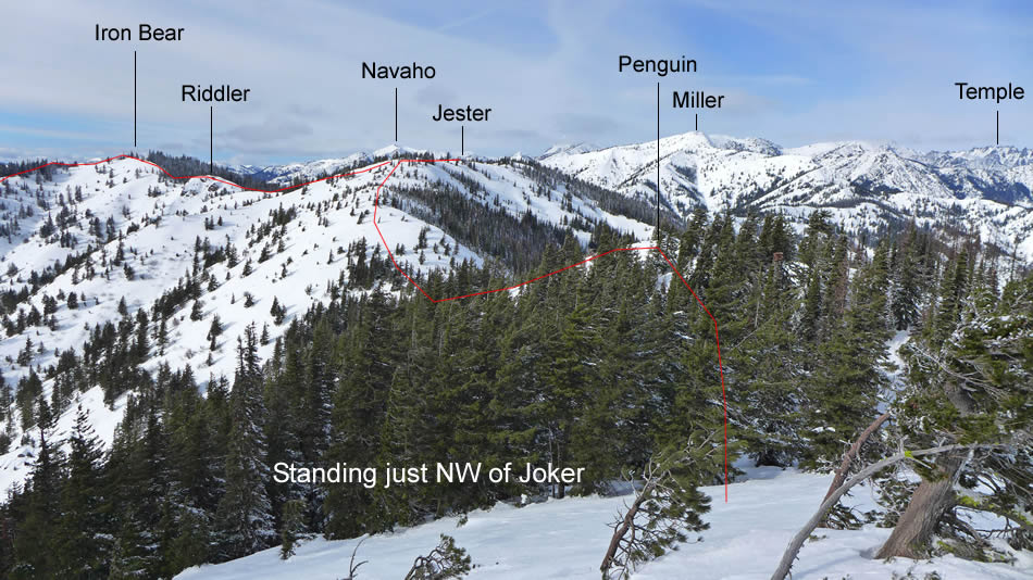
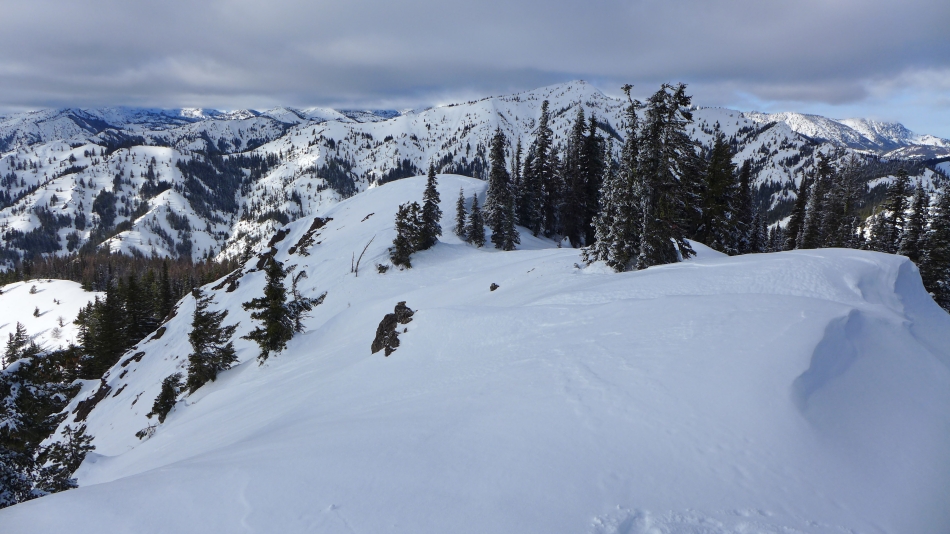
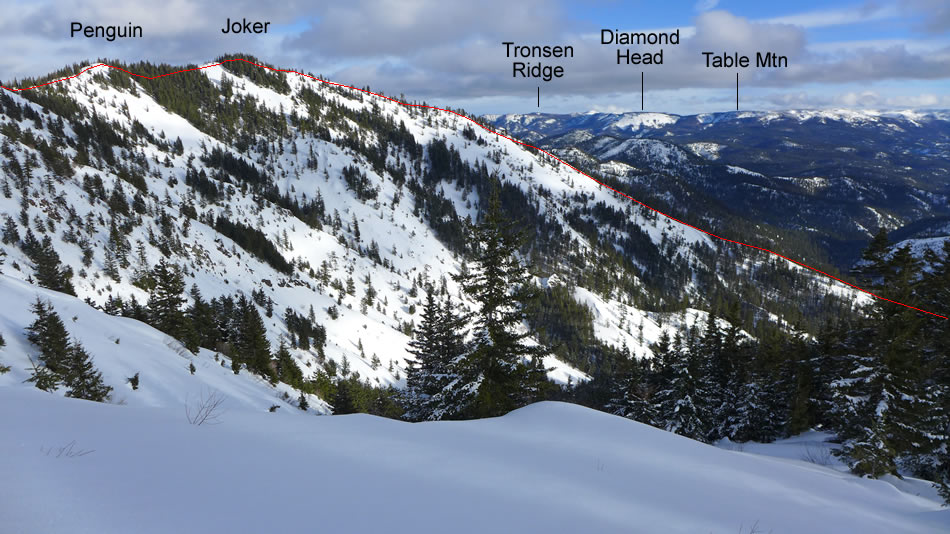
Peak identification from the NW side of the Joker summit area.
|
Looking NNE from the summit (5367') of Penguin toward the town of Leavenworth... with Iron Mountain (left) and Serpentine Hill (center) in the foreground.
|
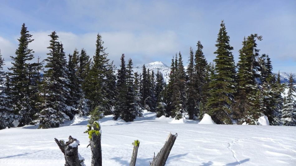
The Temple, located in the Stuart Range, dominates in the center of this photo.
|
Jester Mountain from the summit of Penguin... with Mt. Stuart in the distance on the right.
|
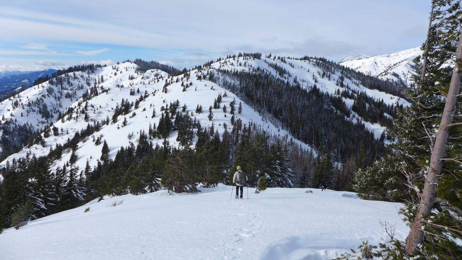
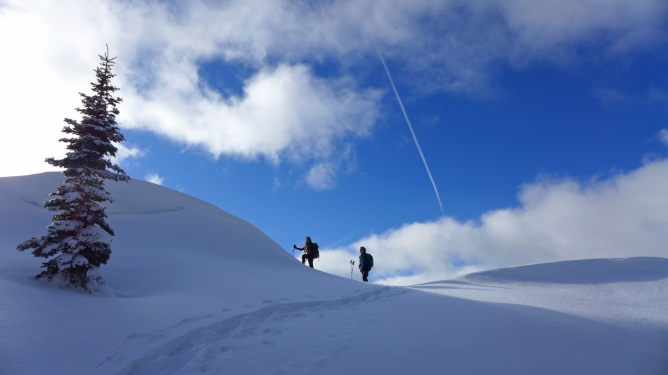
Leaving Penguin we will have to give up some elevation before heading back up to Jester Mountain in the center of the photo.
|
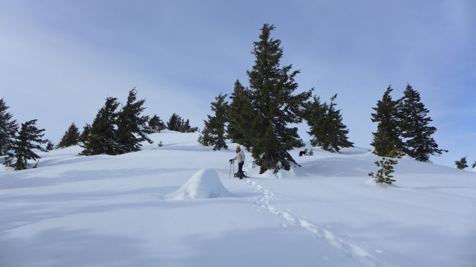
Snowdog and Izzy in the pristine snow leading up to the summit of Jester Mtn.
|
rodman on the SE ridge of Jester Mountain.
|
Approaching the summit area of Jester Mountain.
|

Looking back at Penguin (left) and Joker as we near the summit area of Jester Mountain.
|
Miller Peak from the summit (5528') of Jester Mountain.
|

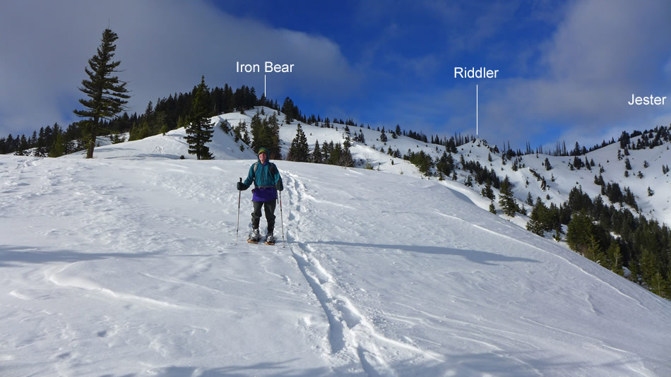
Leaving the Jester Mountain summit area and heading for Riddler in the foreground... with Mt. Rainier in the distance.
|

Getting closer to Riddler... lots of animal tracks... and they don't belong to Izzy.
|

Nearing the summit of Riddler.
|
Izzy is first to reach the summit area... which is usually the case.
|
Just a few more steps to reach the summit of Riddler.
|
Snowdog reaches the summit (5361') of Riddler.
|

rodman on the summit of Riddler... just above his camera you can see our tracks coming down from Jester Mountain.
|
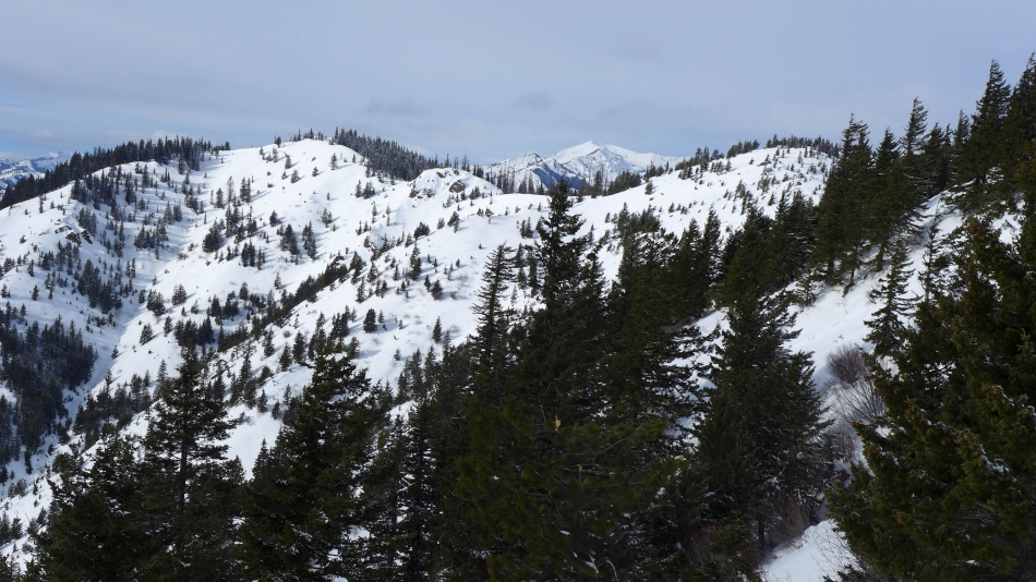
Penguin and Joker on the far left... and the south ridge of Joker that we used to get from the road up to the Joker summit.
|
Snowdog and rodman near the summit of Iron Bear.
|
Izzy, Snowdog and rodman on the Iron Bear summit (5489').
|
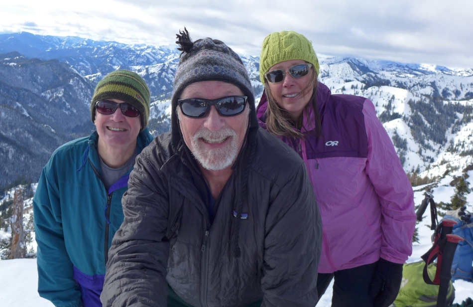
A selfie on the Iron Bear summit... rodman, ragman and Snowdog.
|
Looking NNW from the Iron Bear summit to Miller Peak.
|
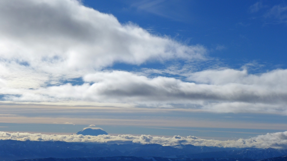
A lenticular cloud forms over Mt. Rainier.
|
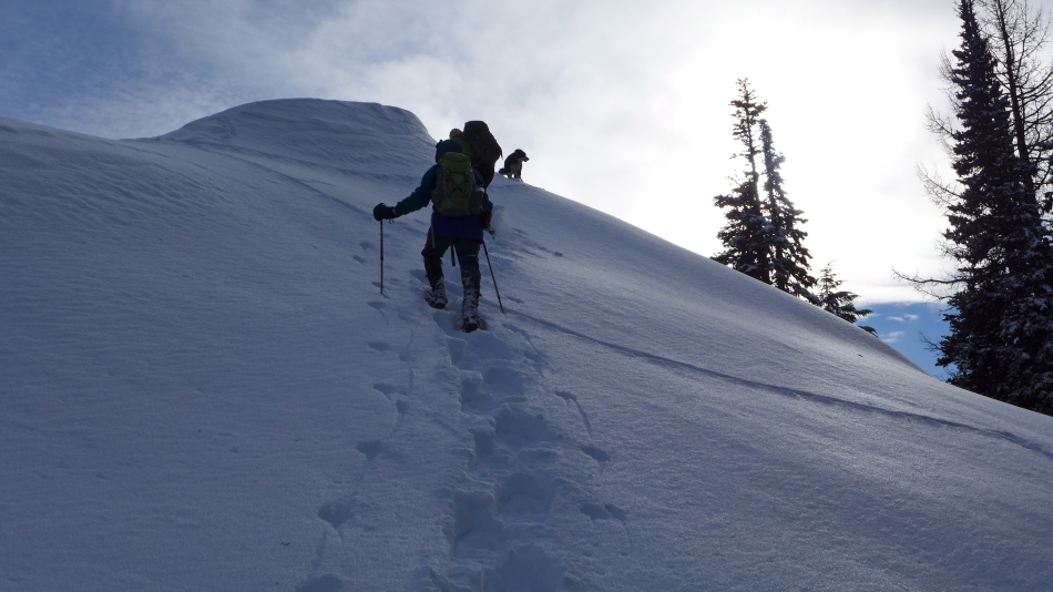
Starting down the SE ridge of Iron Bear.
|
Looking back at the Iron Bear summit as we head for the barn.
|
Heading down the SE ridge of Iron Bear... with Penguin and Joker on the left.
|
The route we used earlier in the day to get from the road up to the Joker summit.
|
Continuing down the SE ridge of Iron Bear.
|
Still on the SE ridge of Iron Bear... almost back down to FS-9714... leaving a 3.2 mile road walk back to the car.
|
