Mazama Ridge - 2.8.2016
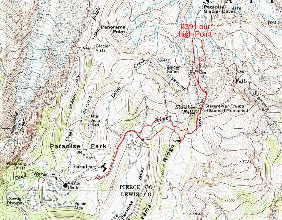
A photo of the GPS track for our trip to Mazama Ridge... 5 miles roundtrip, gaining 1344 feet of elevation.
|
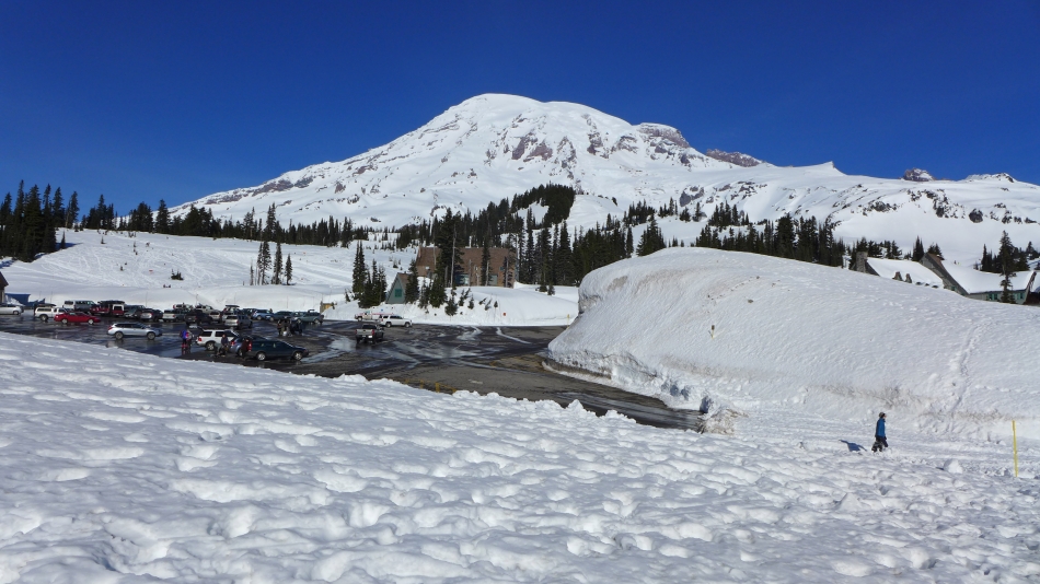
We parked (~5400') in the Paradise parking lot.
|
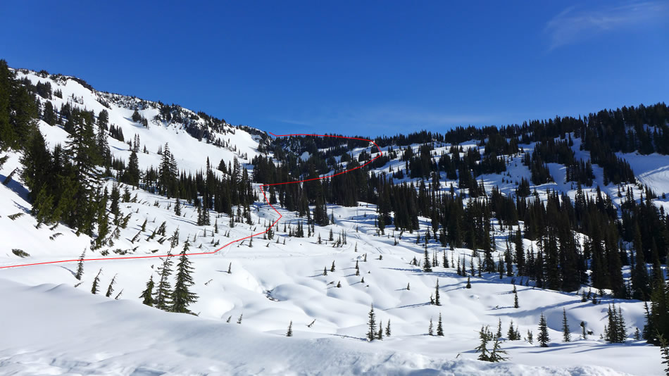
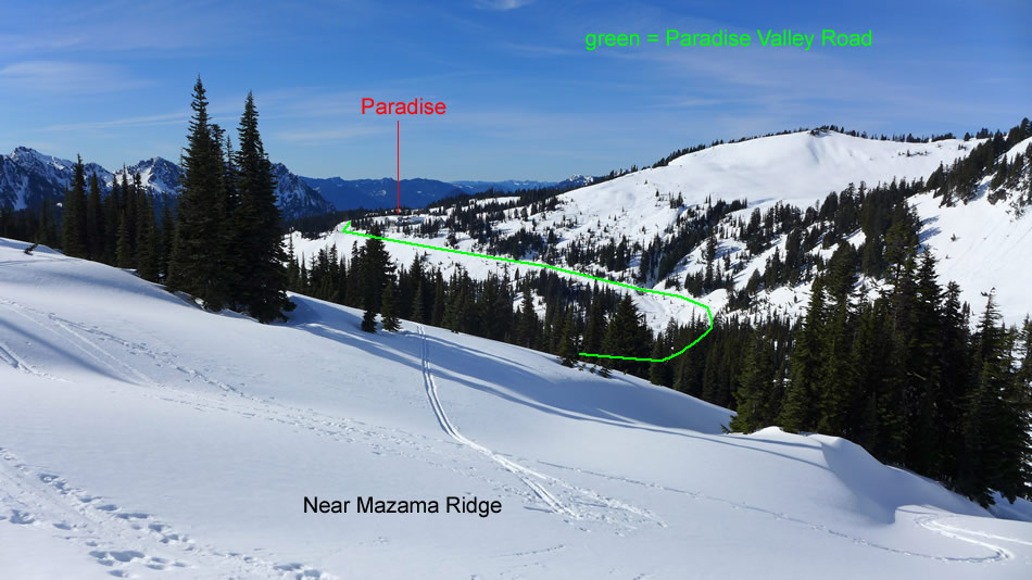
From the parking lot we snowshoed downhill on Paradise Valley Road... and the approximate route we used to get up on Mazama Ridge.
|
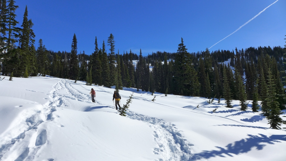
We have left Paradise Valley Road and following a good path toward Mazama Ridge.
|
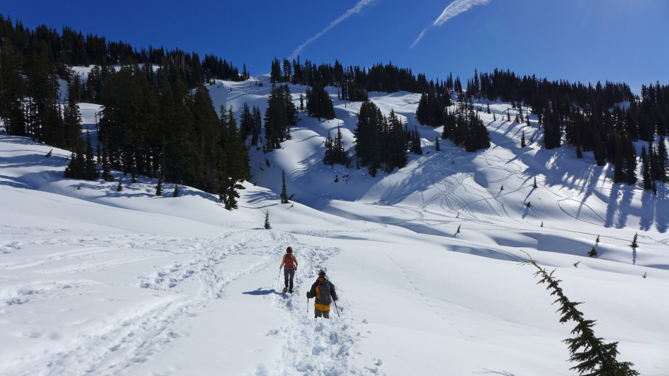
Heading for the opening in the trees... the path will take us there.
|

Looking back toward Paradise and the western peaks of the Tatoosh Range.
|
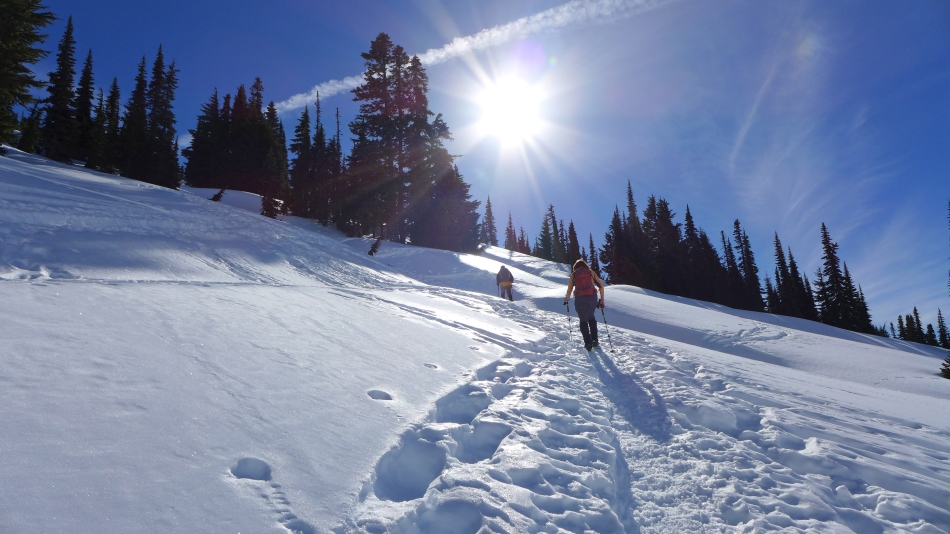
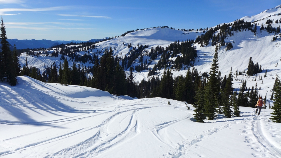
Getting closer to Mazama Ridge.
|
Looking back.
|
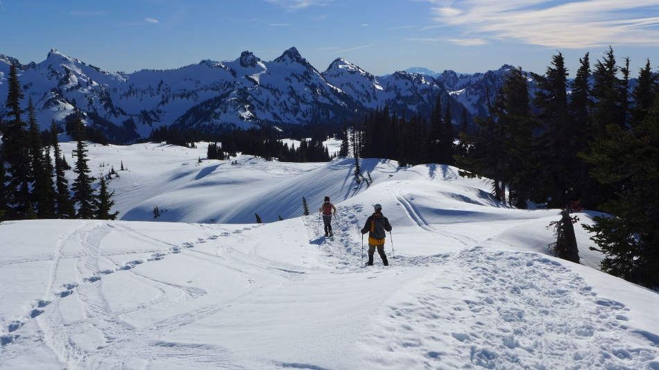
tomman and BarbE reach Mazama Ridge.
|
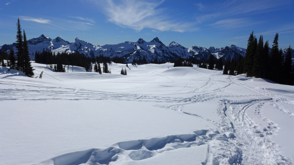
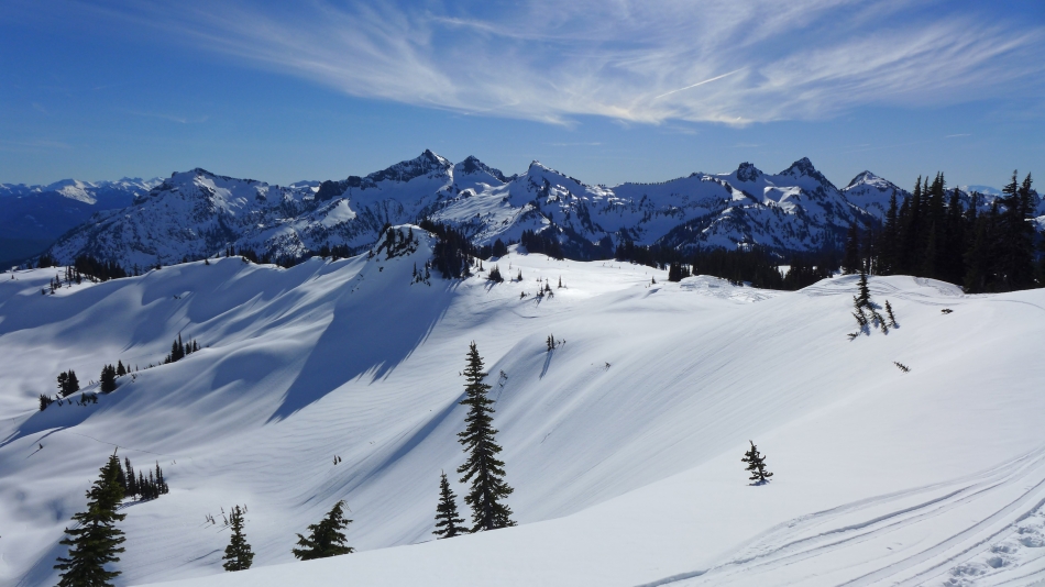
The Tatoosh Range from Mazama Ridge.
|
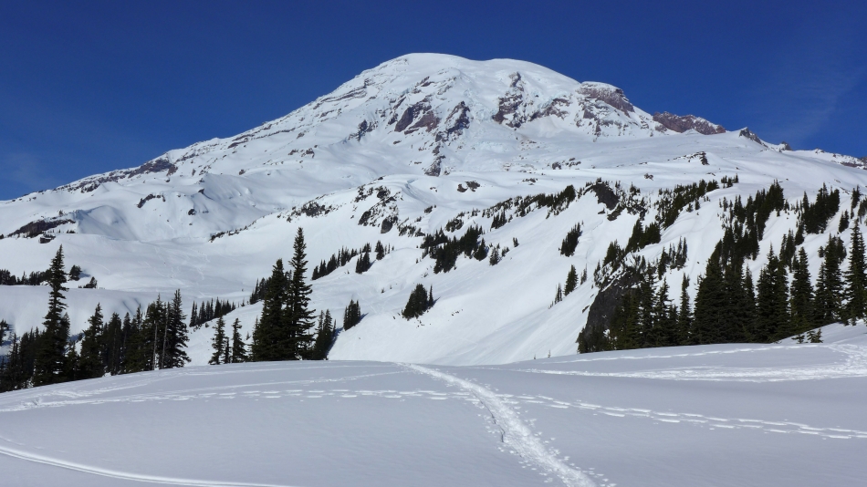
Mt. Rainier from Mazama Ridge.
|

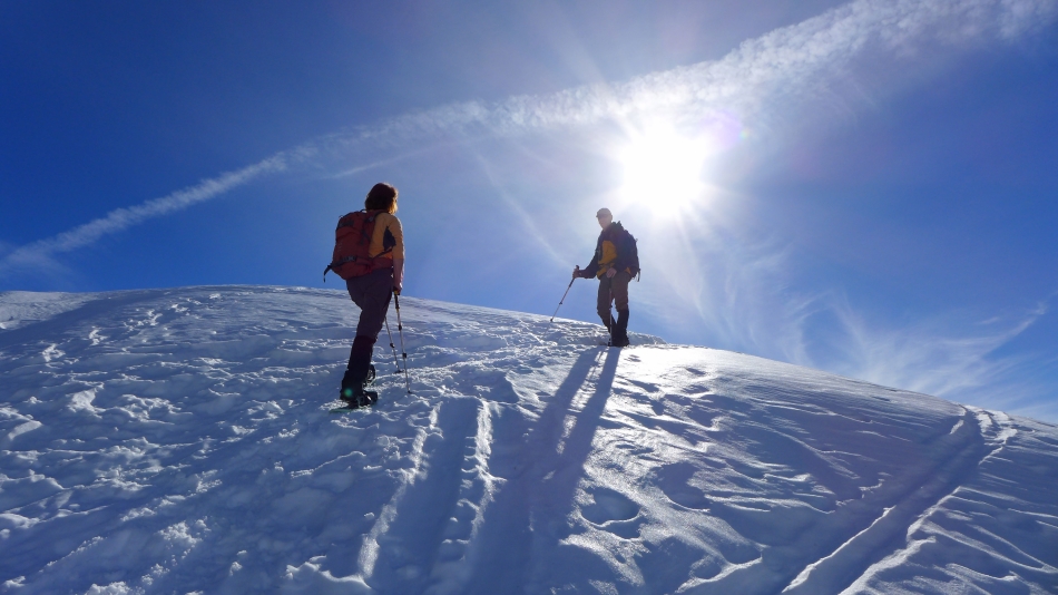
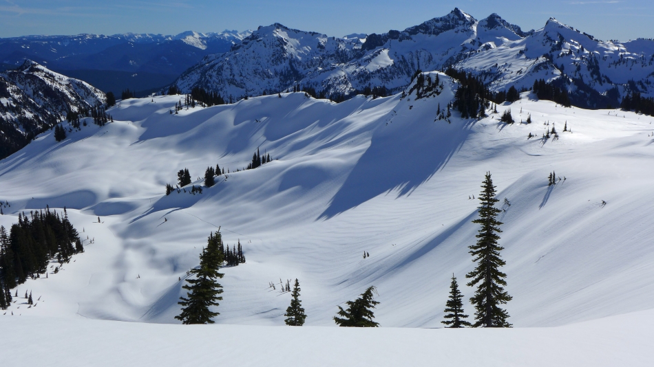
Gaining elevation on Mazama Ridge... looking back at the Tatoosh Ridge.
|
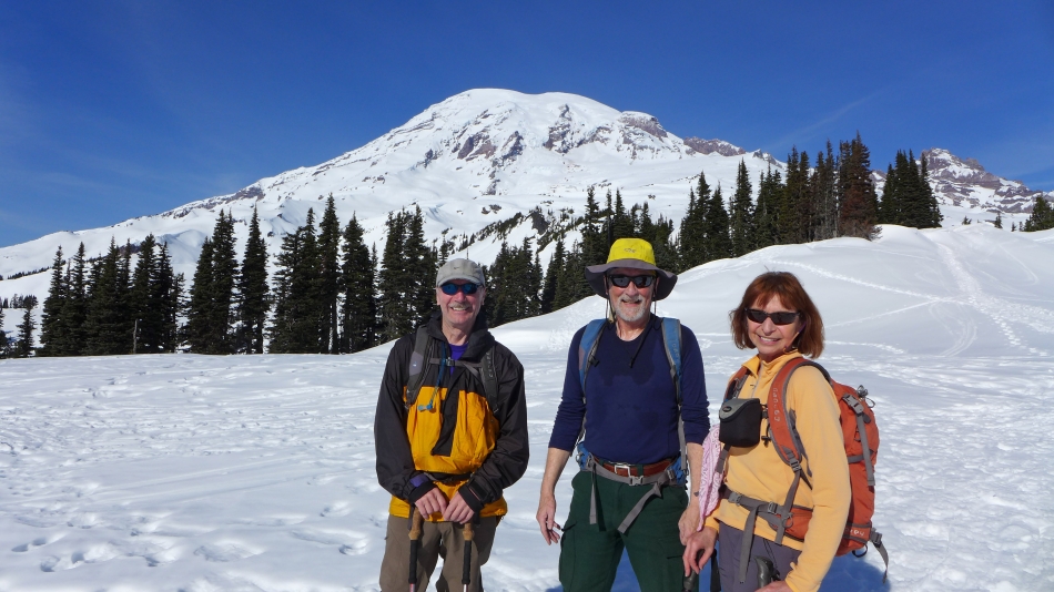
A group shot on Mazama Ridge.
|
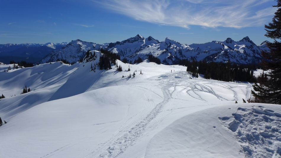
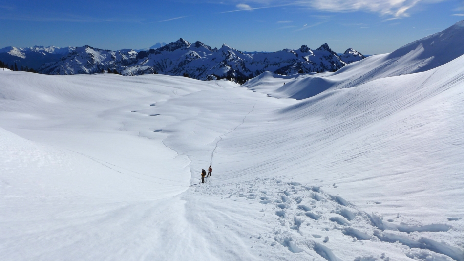
Still gaining elevation on Mazama Ridge... looking back on the Tatoosh Range.
|
A closeup of some Tatoosh peaks... left to right... Unicorn Peak, West Unicorn, Manatee Peak, The Castle and Pinnacle Peak.
|
Goat Rocks on the left horizon... and Tatoosh peaks... Stevens, Unicorn, West Unicorn and Manatee.
|
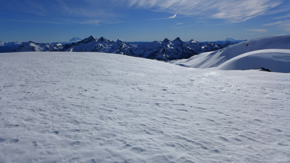
Most of the Tatoosh peaks... with Mt. St. Helens in the distance on the extreme far right.
|
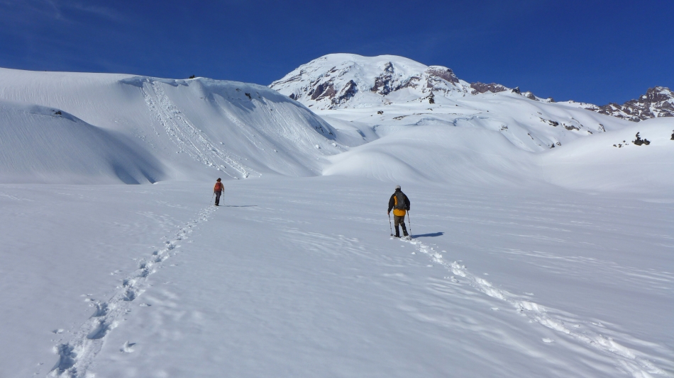
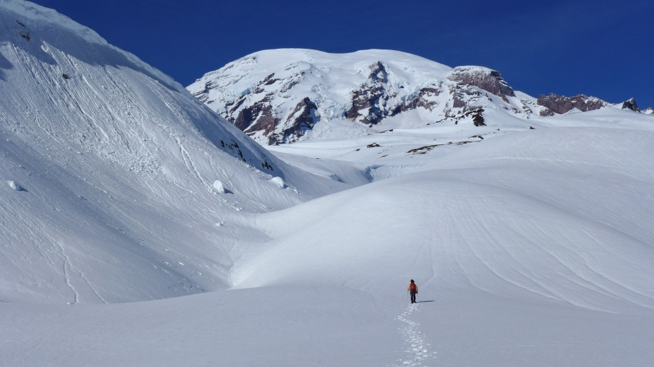
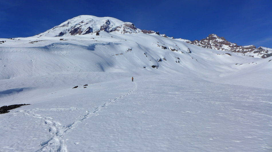
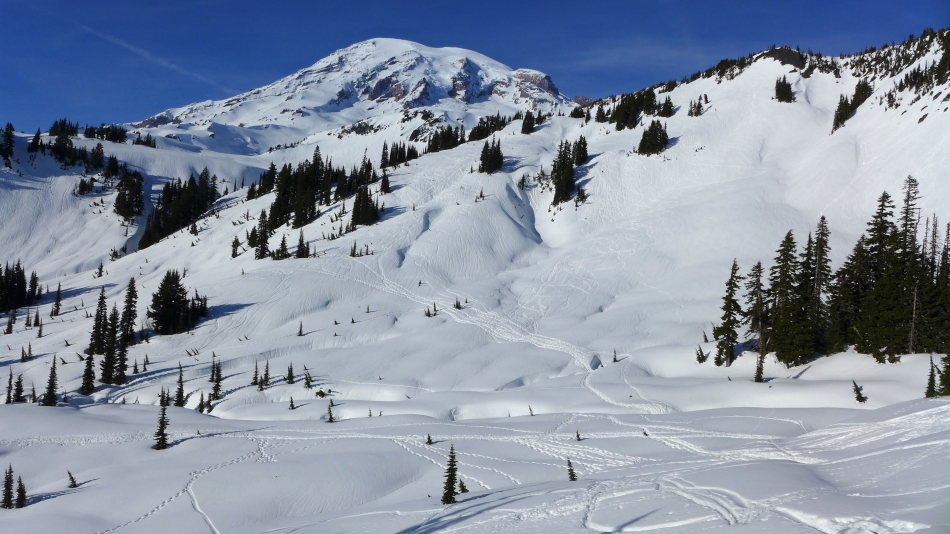
Heading for the little bump in the foreground... Rainier dominates... with Little Tahoma on the far right.
|
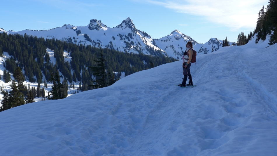
BarbE looks like she is heading for the summit.
|
Looking back at our tracks... we can see Mt. Adams is starting to appear behind Unicorn Peak.
|

Some serious cornice activity along the ridge above us.
|
BarbE points toward a monster sized cornice... Little Tahoma on the right.
|

Looking at the Tatoosh Range... Mt. Adams is more obvious on the horizon behind Unicorn Peak... and if you look closely, you can see Mt. Hood just to the right of Manatee Peak in the center of the photo.
|
A closeup of The Castle, Pinnacle Peak, Plummer Peak and Denman Peak.
|

tomman heads for another bump... BarbE and I will join him a bit later... Cowlitz Rocks on the left.
|
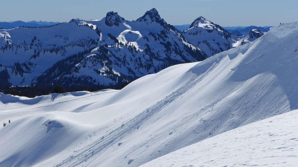
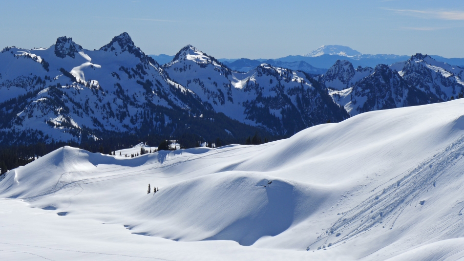
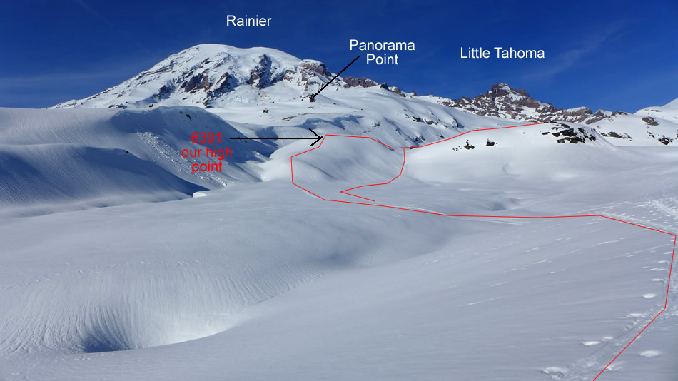
The Tatoosh Range from our high point (6391')... Mt. Adams is on the left horizon... with Mt. St. Helens on the right horizon.
|

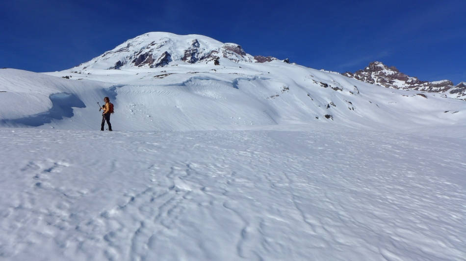
Mt. Rainier and Little Tahoma from near our high point.
|
Here comes BarbE.
|

A closeup of Mt. Adams in the distance... with Unicorn, West Unicorn and Manatee in the foreground.
|
A closeup of Mt. St. Helens on the right... with The Castle, Pinnacle, Plummer, Denman, Lane and Wahpenayo in the foreground.
|

A selfie from near our high point.
|
Heading down from our high point.
|

Heading home.
|

Looking back.
|

Nice reflection.
|
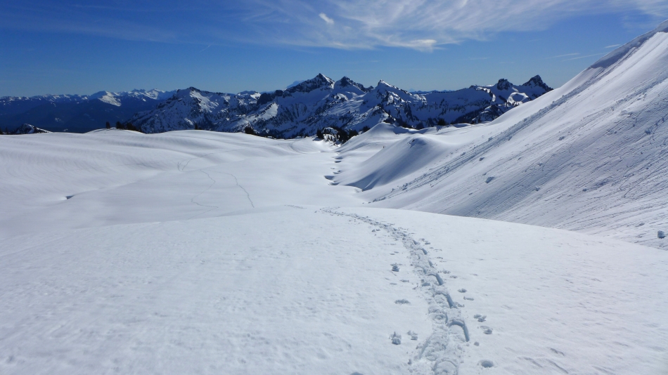
Looking back at our approximate route.
|
Almost ready to get off of the ridge.
|

Getting ready to get off of Mazama Ridge... Mount Wow is in the distance in the center of the photo... with Pryamid Peak on the far right.
|

Rainier as we head back down toward Paradise Valley Road.
|
The Paradise Valley Road leads to the Paradise parking lot in the left center of the photo.
|
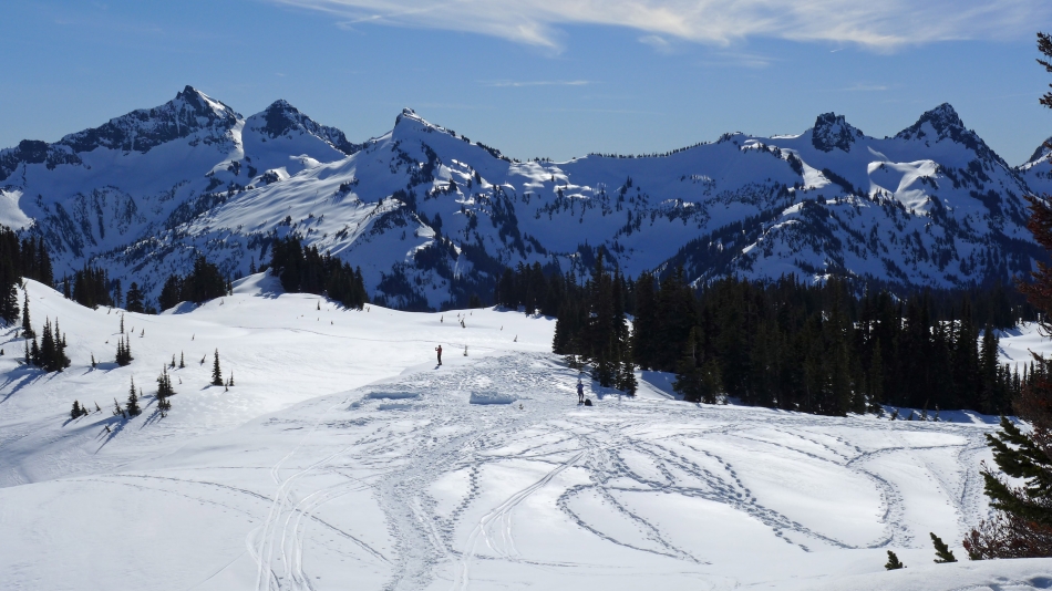
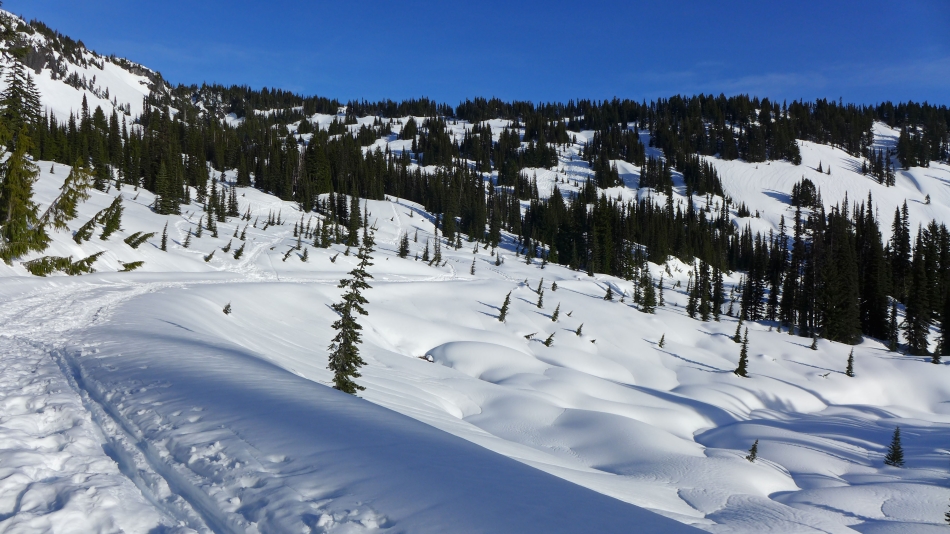
Lots of ski and snowshoe tracks as we get closer to Paradise Valley Road.
|
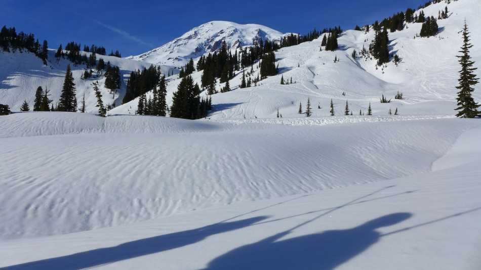
The Shadow People were along for this trip.
|
Back on Paradise Valley Road... looking back at Mazama Ridge.
|
BarbE on Paradise Valley Road... getting closer to the parking lot.
|

Back at the Paradise parking lot... what a day in Paradise!
|
