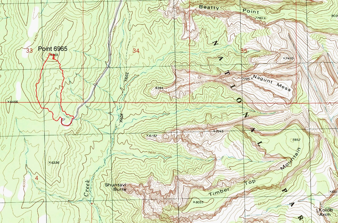
Point 6965 - 4.2.2016
A photo of the GPS track of our trip to Point 6965... 2.2 miles roundtrip, gaining 885 feet of elevation.
|
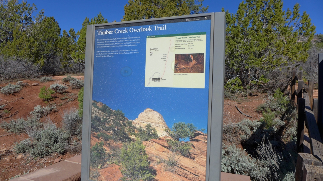
Kolob Canyons Overlook is located in the NW corner of Zion National Park... at the end of the Kolob Canyons Road.
|
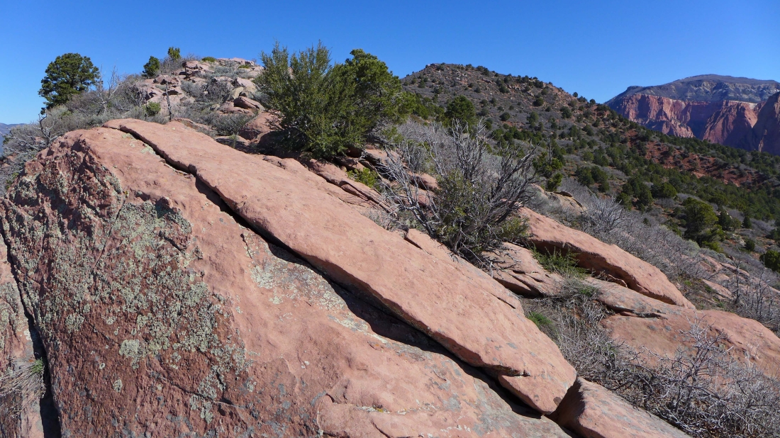
Very brushy terrain leading up to the ridge that will lead us to Point 6965.
|
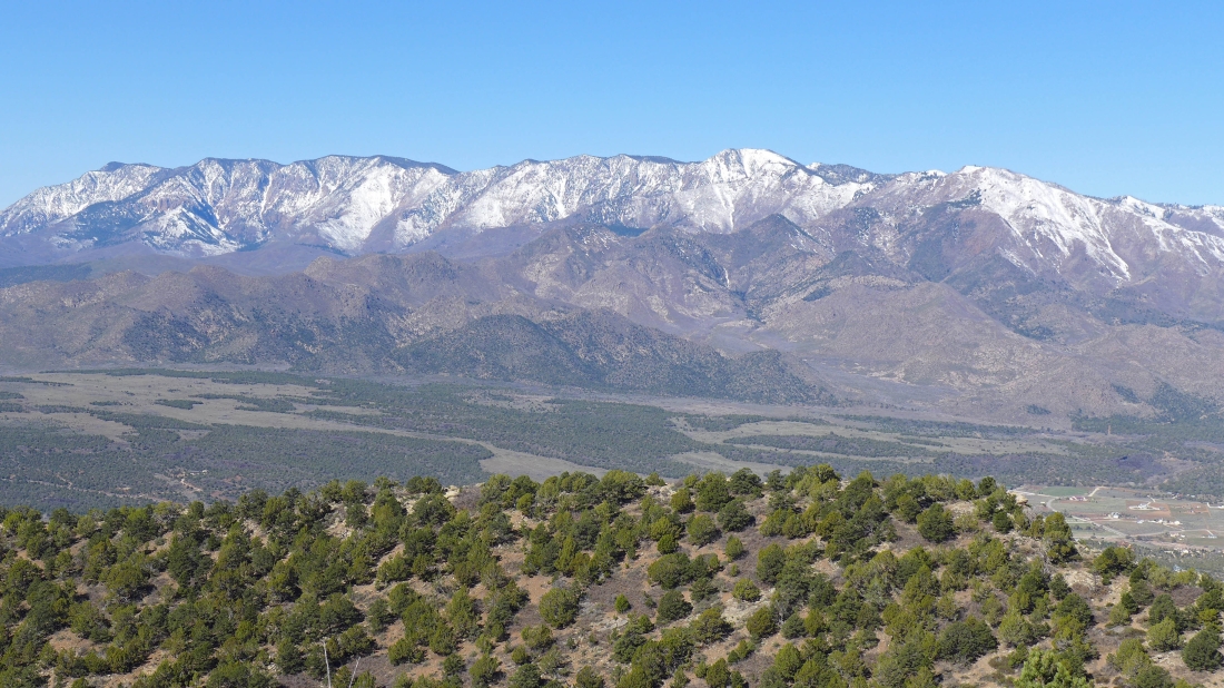
Looking west at the Pine Valley Mountain Wilderness in the Dixie National Forest.
|
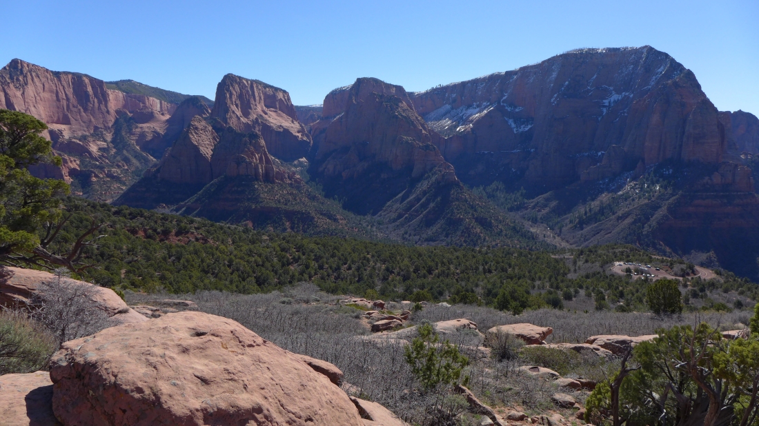
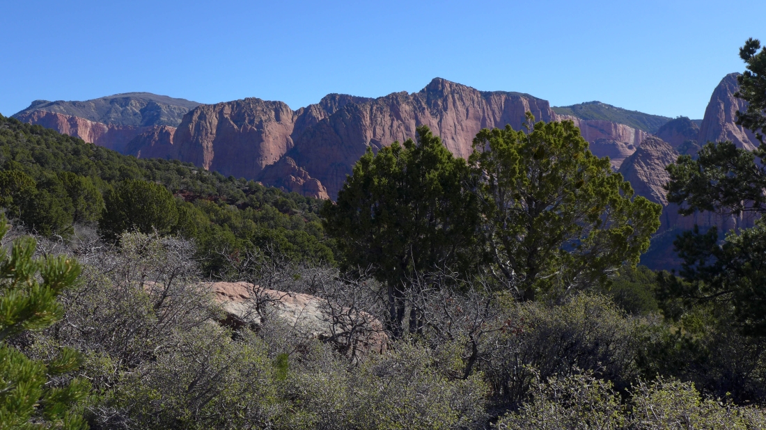
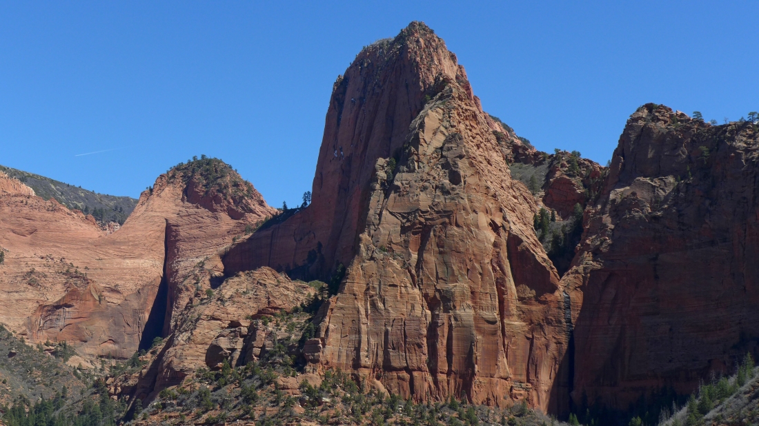
We have reached the ridge above the Kolob Canyons Overlook... Beatty Point on the far left... then Nagunt Mesa (left center) and the two summits of Timber Top Mountain on the right.
|
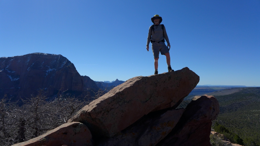
It feels like a summit, but it isn't... Timber Top Mountain on the left.
|
We will follow the ridge to Point 6965 in the center of the photo.
|

Nearing Point 6965... still very brushy terrain.
|
Peak identification from Point 6965.
|

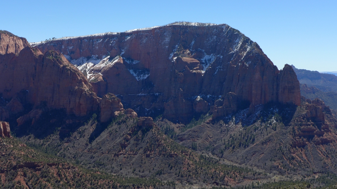
A closeup of Nagunt Mesa on the left... with Timber Top Mountain on the right.
|
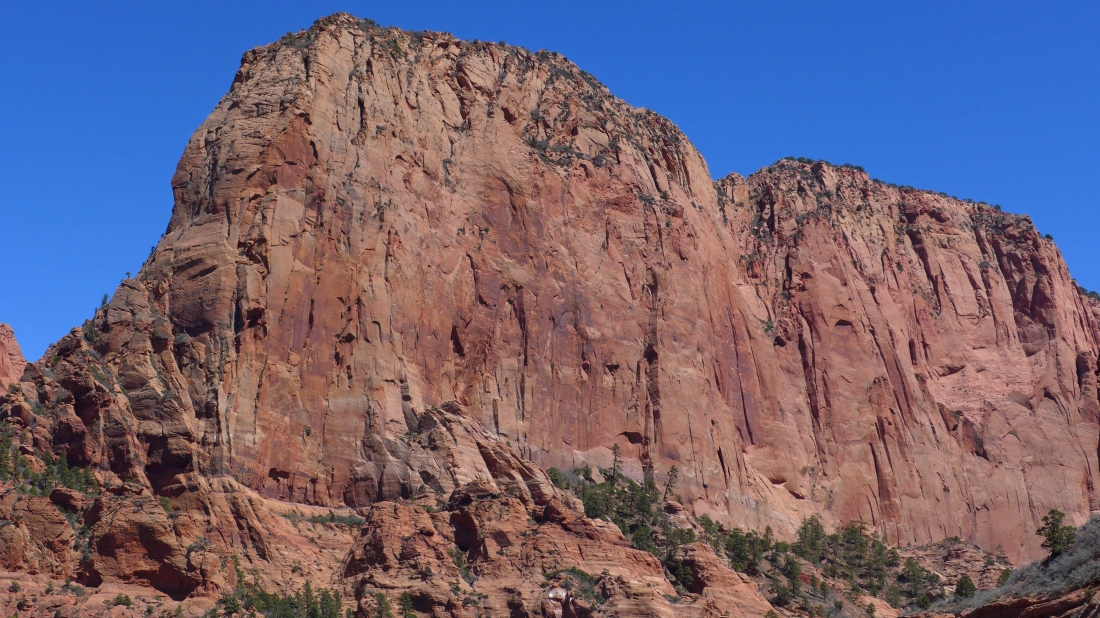
Timber Top Mountain.
|

A closeup of Horse Ranch Mountain (the high brushy one on the far left)... then Paria Point and Beatty Point.
|
A closeup of Nagunt Mesa.
|
A closeup of Beatty Point.
|
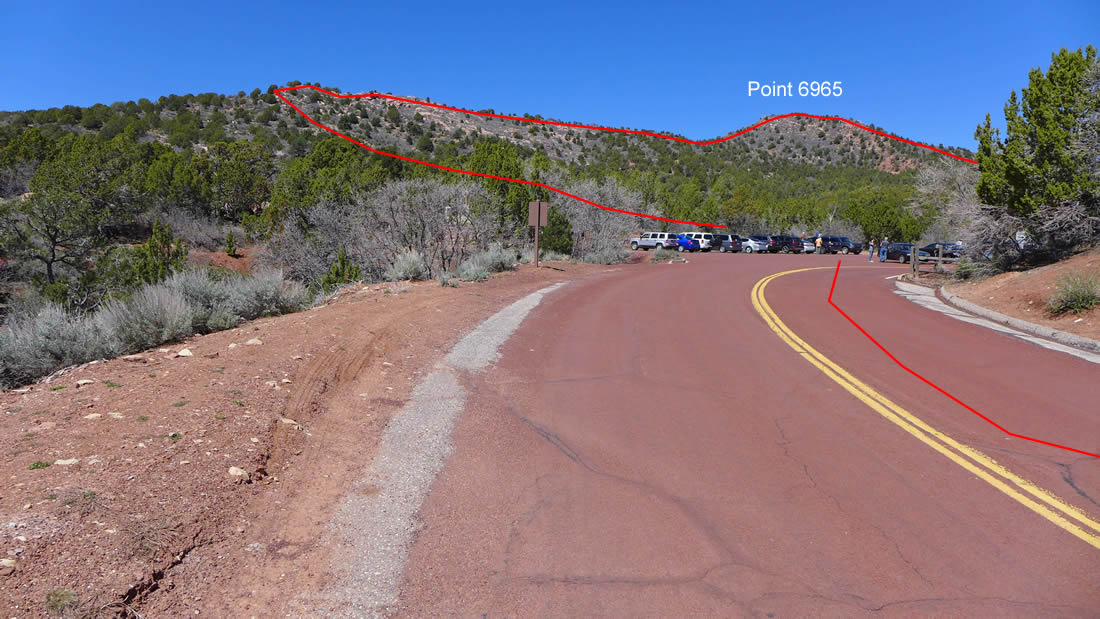
Our approximate route for the day to Point 6965... when we left Point 6965 we ended up using part of Kolob Canyons Road to get back to our car.
|
