Angels Landing and Point 6015 - 4.5.2016

A photo of the GPS track of our trip to Angels Landing and Point 6015... 7.7 miles roundtrip, gaining ~2000 feet of elevation. If you only do Angels Landing, the stats would be closer to 5 miles roundtrip with ~1500 feet of elevation gain.
|
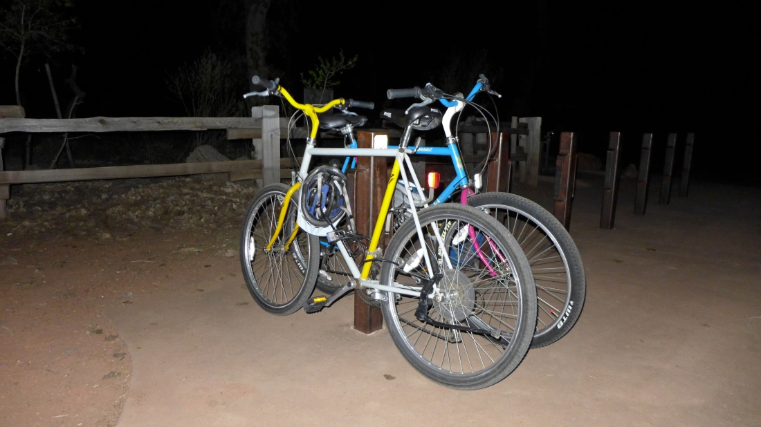
We started this trip at 5:00am... biking 5.4 miles from the Zion Visitors Center to the Grotto Trailhead.
|
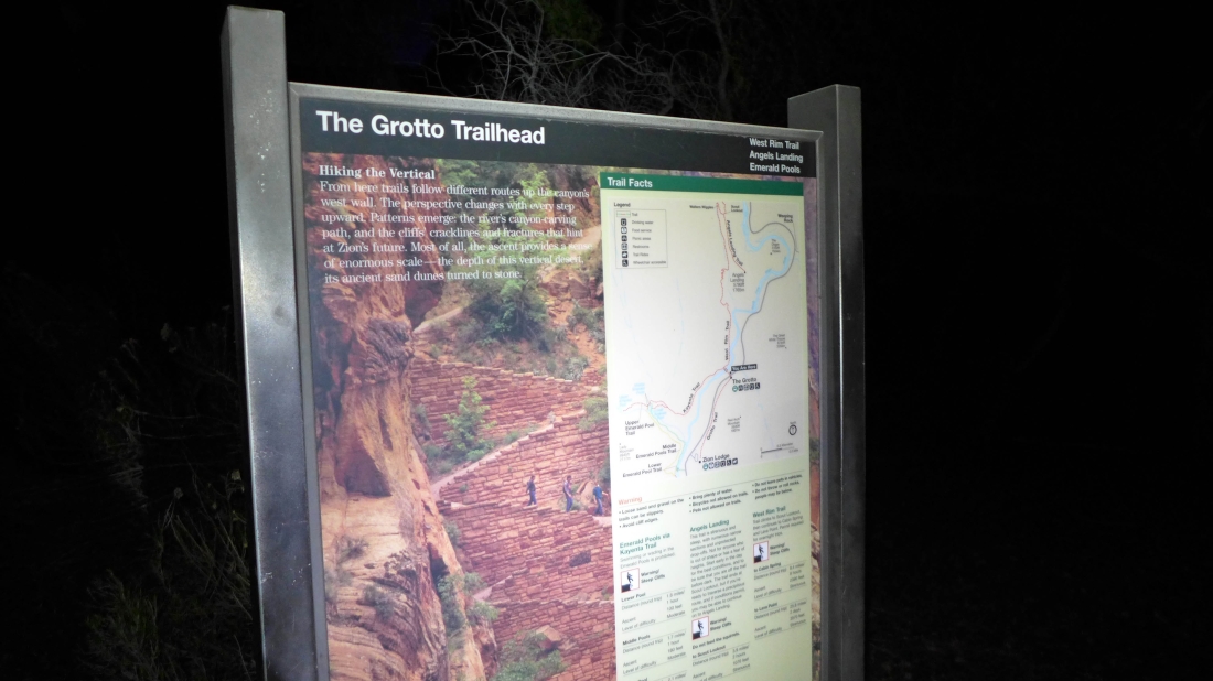
The Grotto Trailhead is stop #6 for the Shuttle Bus... but we got an hour head start on people who used the bus... we will hike the first two miles on the West Rim Trail.
|
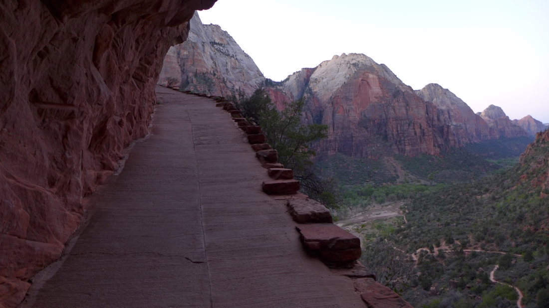
Daylight is arriving... looking down on the West Rim Trail... where we started hiking at 6:10am.
|
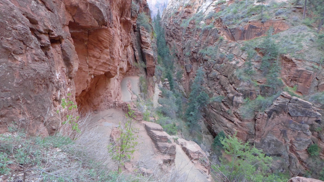
Hiking on the paved West Rim Trail as we switchback our way up to the Angels Landing Trail.
|

Looking down on part of Walters Wiggles... a series of 21 tight switchbacks.
|

After hiking ~2 miles we have reached a saddle (aka Scout Lookout)... and will head for Angels Landing.
|
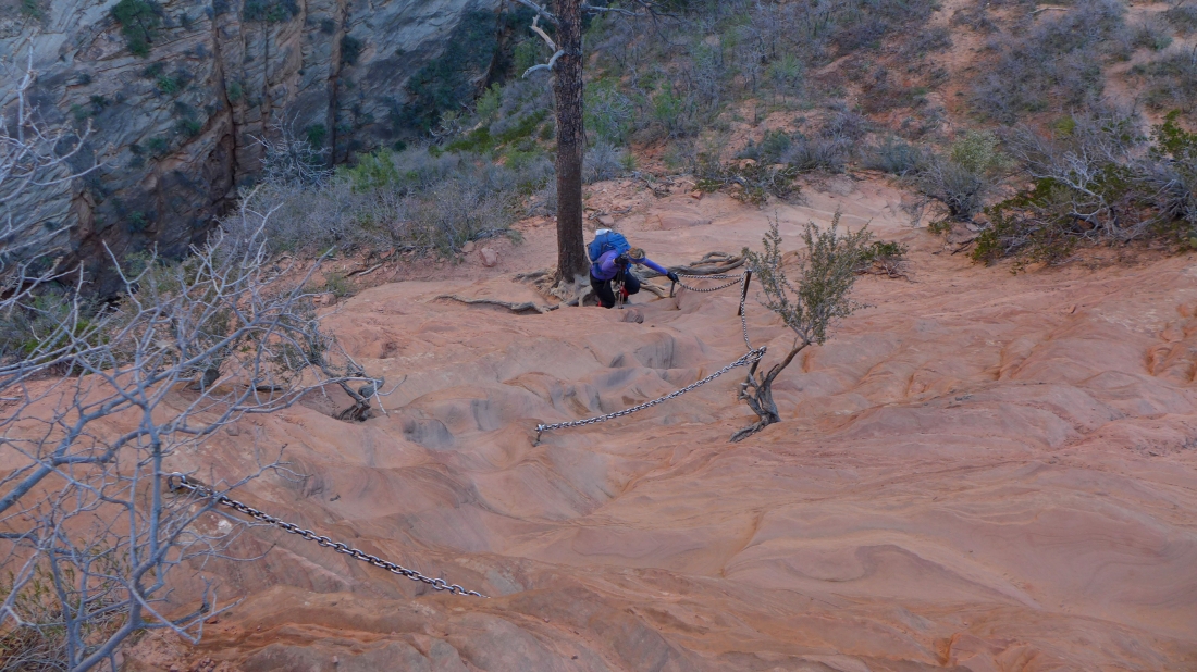
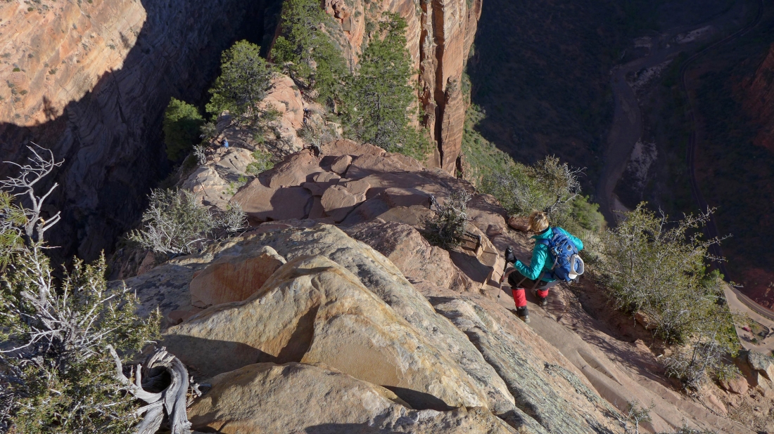
Denali Girl working the chains that will provide some security to reach the summit.
|
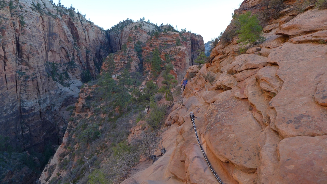
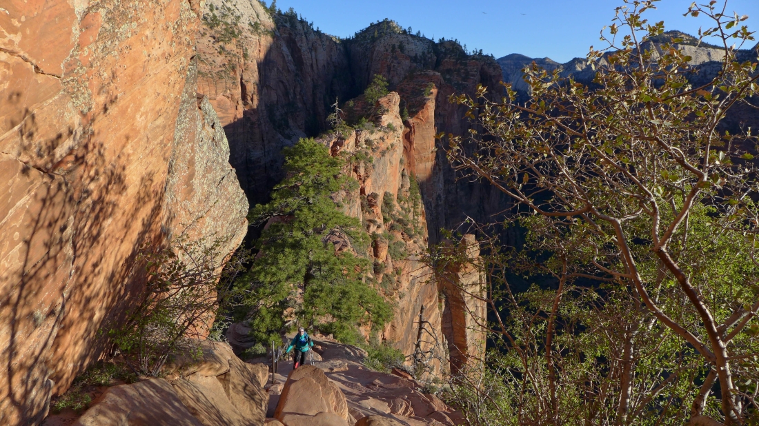
On the Angels Landing Trail now... looking back at Denali Girl... the West Rim Trail continues up some switchbacks in the center of the photo.
|

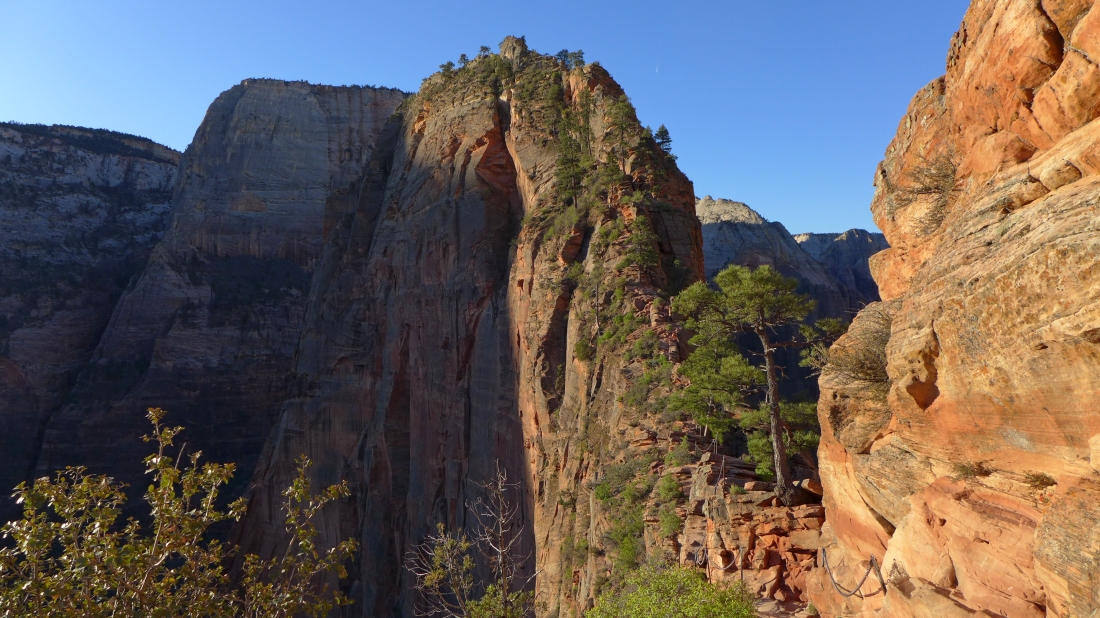
Sunlight hitting Angels Landing... the trail is narrow here.
|
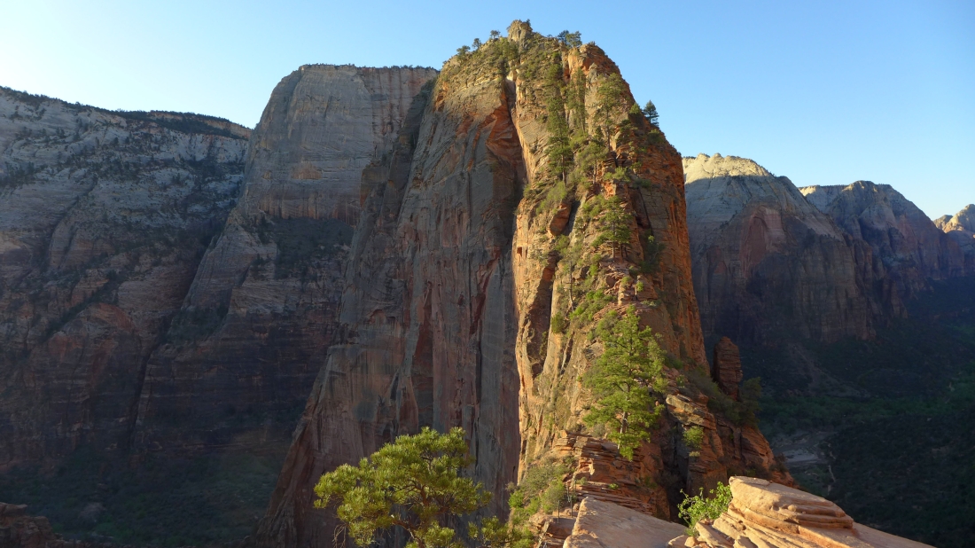
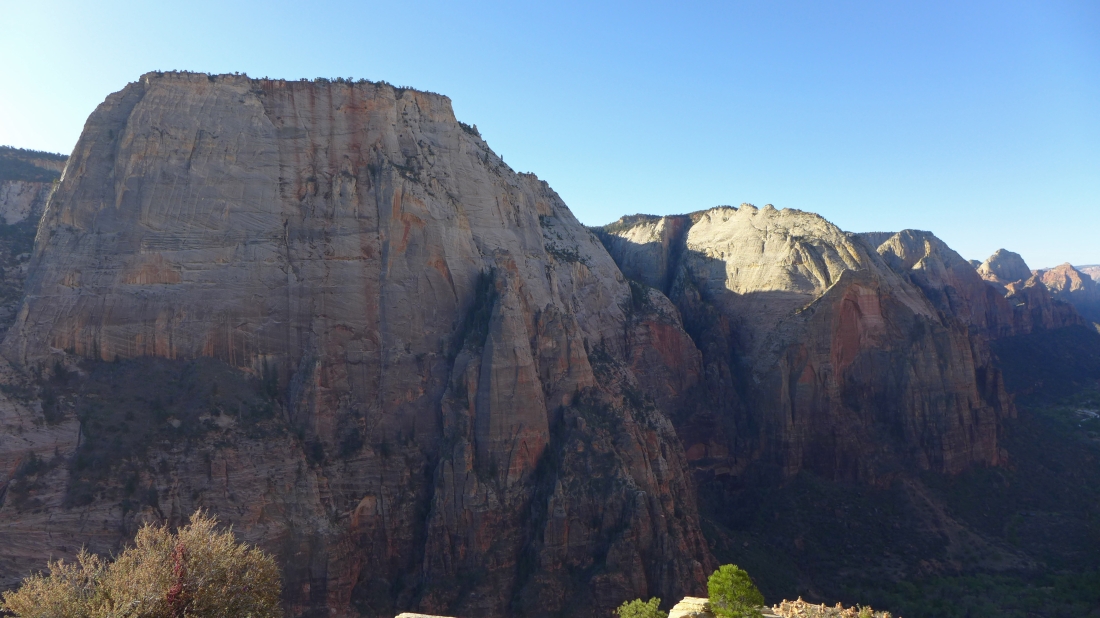
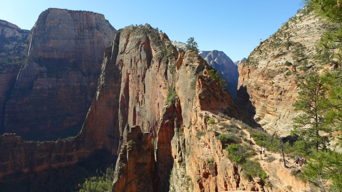
Angels Landing in the foreground... with The Great White Throne on the left... and the top of Deertrap Mountain to the right.
|
Getting to the Angels Landing summit is not all uphill.
|
Pretty soon it will be all uphill to the Angels Landing summit.
|
Ever upward.
|

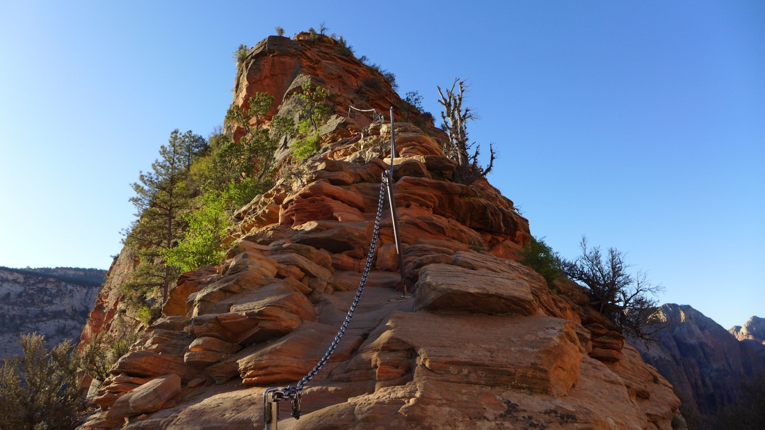
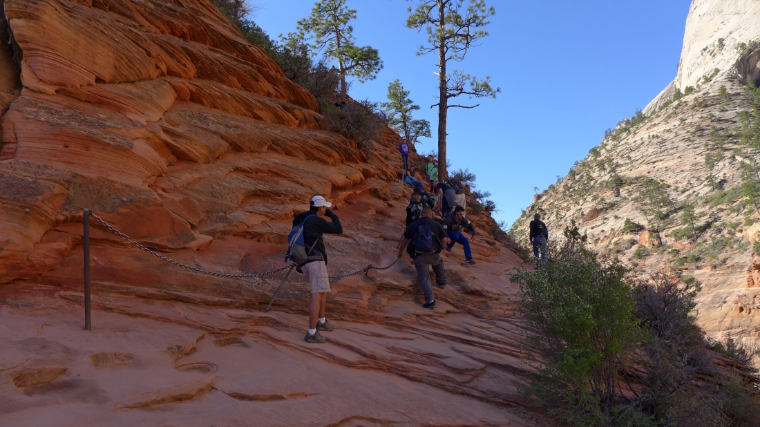
Denali Girl is coming from Scout Lookout... working her way over to where Angels Landing heads up.
|
Now the serious up begins.
|

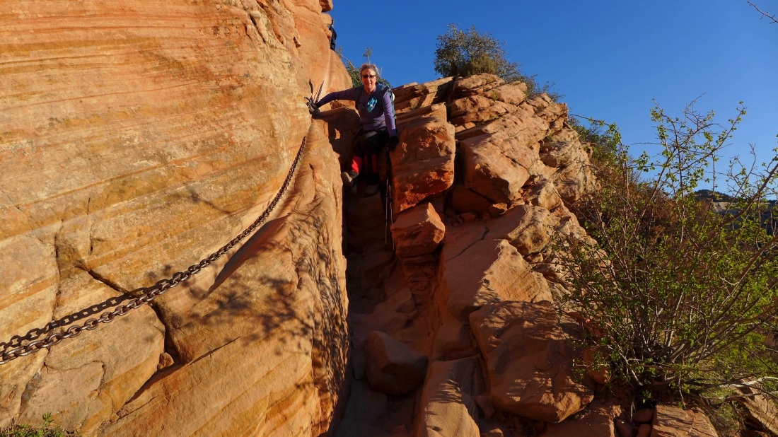
The chains are really appreciated.
|
Getting closer.
|

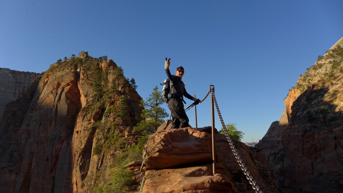
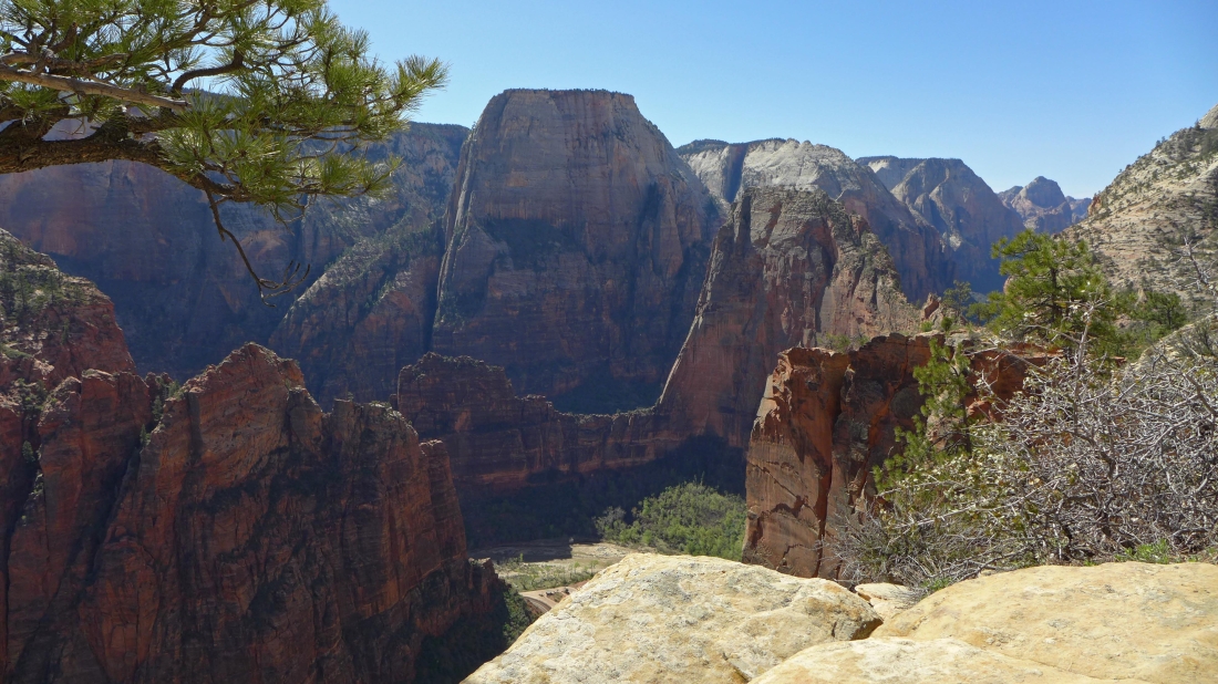
On the Angels Landing summit (5790')... looking at the red ramp that got us here from Scout Lookout.
|
The Great White Throne on the left... with sun hitting Deertrap Mountain.
|
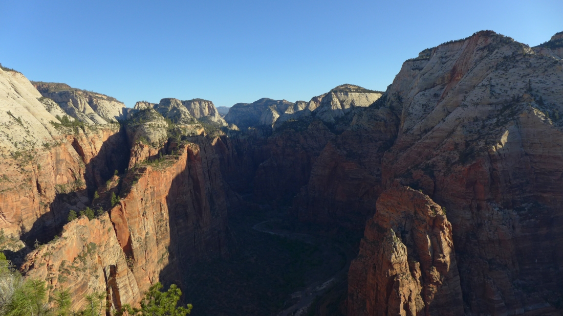
The ramp that got us from Scout Lookout to Angels Landing is in the lower left corner of the photo... as we look up Zion Canyon toward the beginning of 'The Narrows'... with Observation Point on the far right.
|

On the left Red Arch Mountain sits in front of the sunny top of Deertrap Mountain... with Mountain of the Sun in front of Twin Brothers... on the right Lady Mountain is in front of The Sentinel.
|
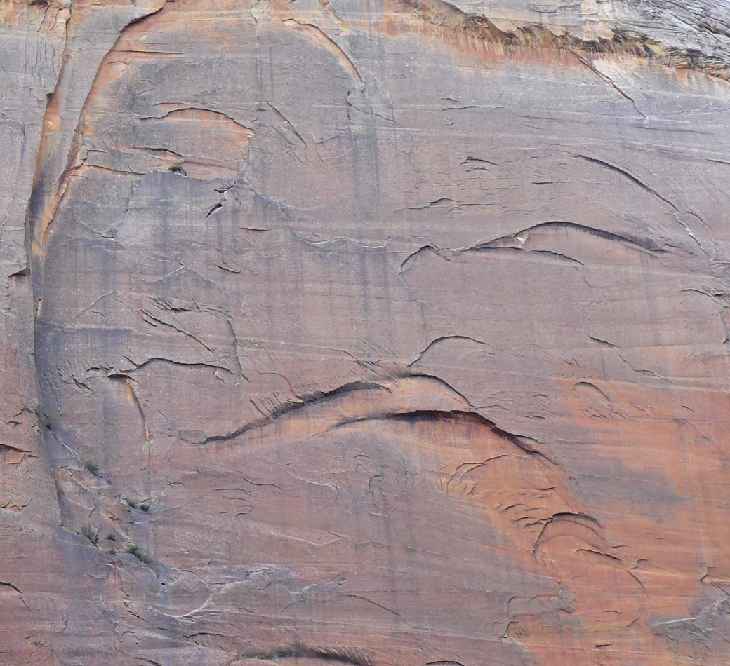
A closeup of how Lady Mountain got her name.
|

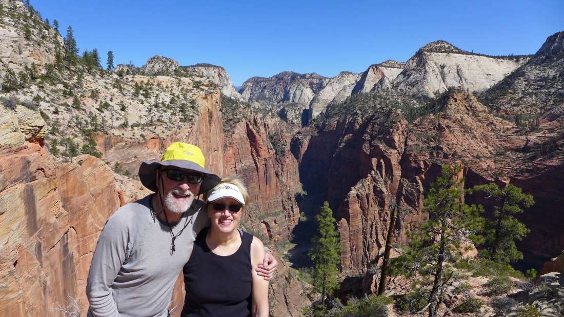
On the Angels Landing summit... with Cathedral Mountain behind us.
|

The true summit of Angels Landing.
|
Heading down at 9:00am.
|
Already getting crowded at 9:00am.
|
From Scout Lookout we continued up the West Rim Trail... here looking back at the crowd of people heading for the Angels Landing summit.
|
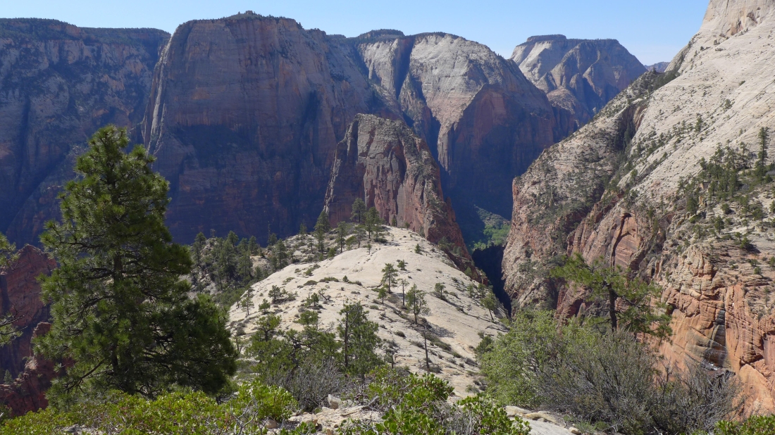
Heading for Point 6015 just above the West Rim Trail... looking back at Angels Landing... dwarfed by The Great White Throne and Deertrap Mountain in the center of the photo... with Mountain of the Sun in front of Twin Brothers on the far right.
|
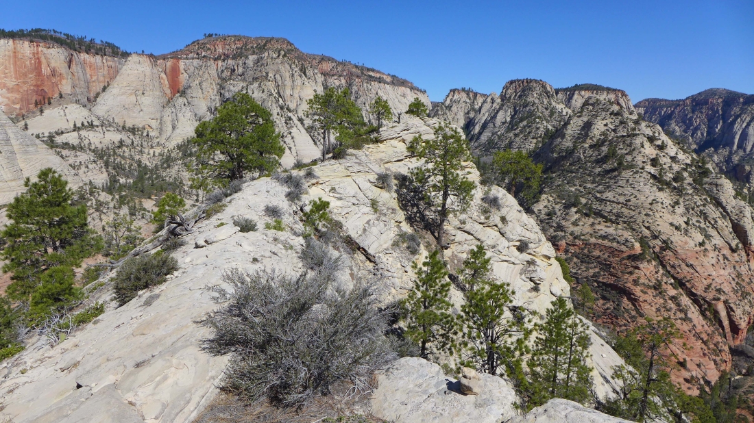
Getting closer to Point 6015.
|
On the West Rim Trail... looking up Zion Canyon to where 'The Narrows' begins.
|
Looking at The Great White Throne and Angels Landing.
|
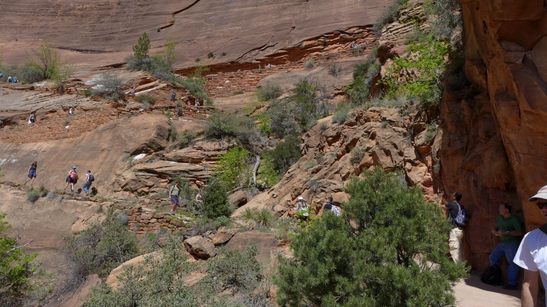
Our our way back to our bikes we saw several hundred people... there are at least 25 hikers on this short section of trail.
|
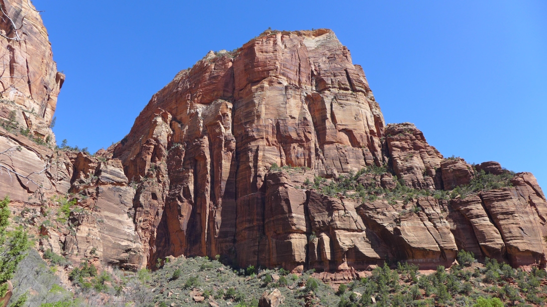
Angels Landing from the canyon floor.
|
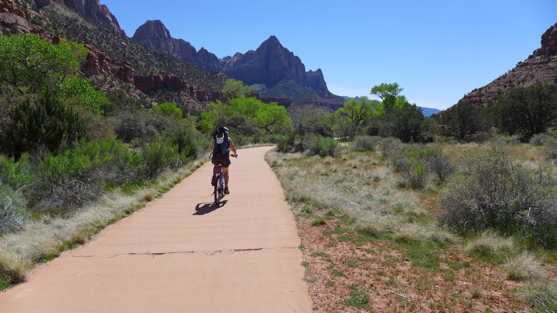
Denali Girl is on the bike path... almost back to the Visitors Center... with The Watchman in the center of the photo.
|
