Fairyland Loop - 4.9.2016
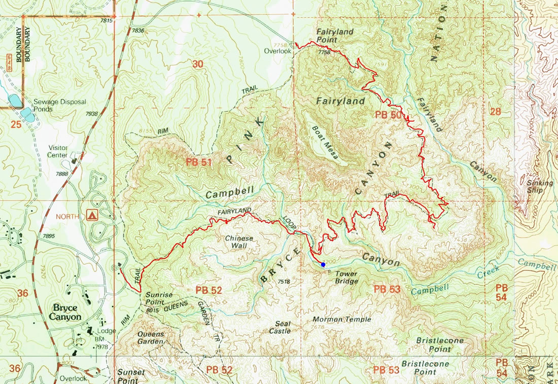
A photo of the GPS track for our through-hike on the Fairyland Loop Trail... 6.3 miles of hiking, gaining 1571 feet of elevation. Denali Girl dropped us off at Fairyland Point to start the hike... then she did some sightseeing and picked us up at Sunrise Point when we got back to the canyon rim.
|
It looked pretty dreary at the beginning of the day... low clouds and some drizzle.
|
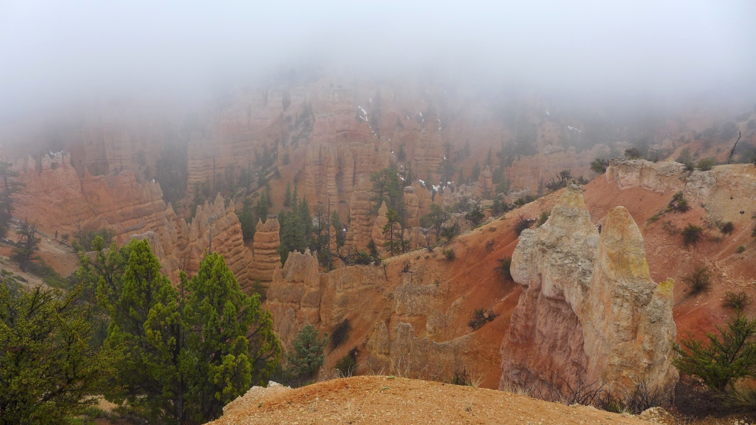
We couldn't see very far at the beginning as we dropped down into the canyon.
|
Views are improving.
|

Hiking in sticky goo at the beginning of the hike.
|
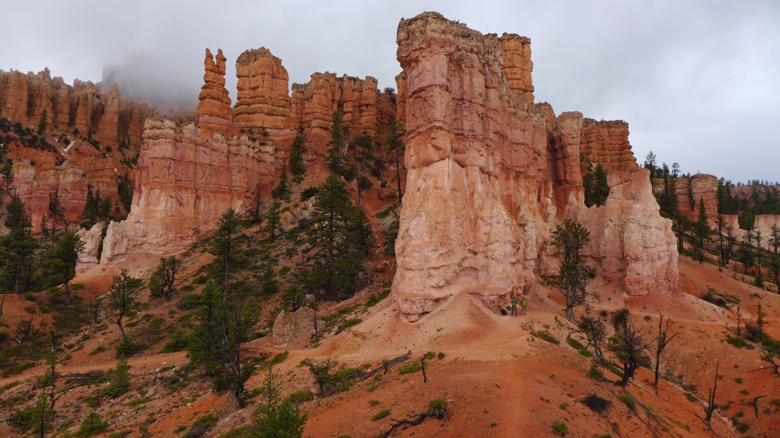
The low clouds made for some dramatic photos... tomman and Snowdog are standing under an overhang where we sat out a short rain squall.
|
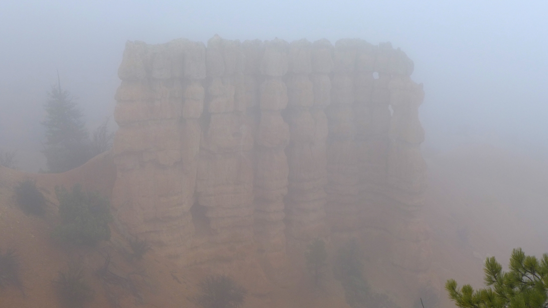
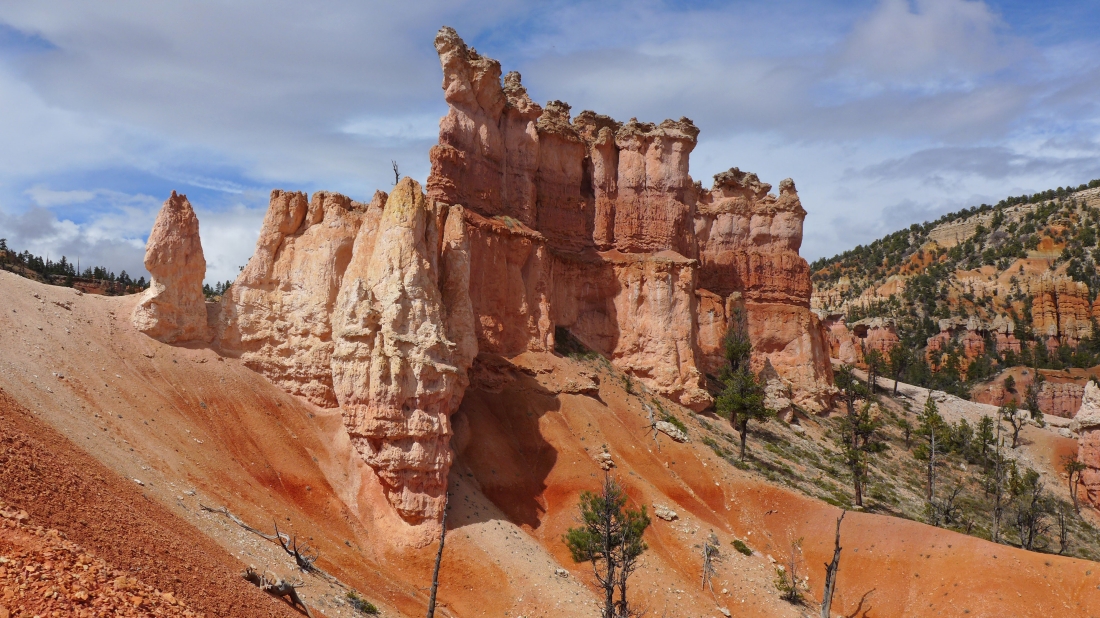
Hoodoos.
|

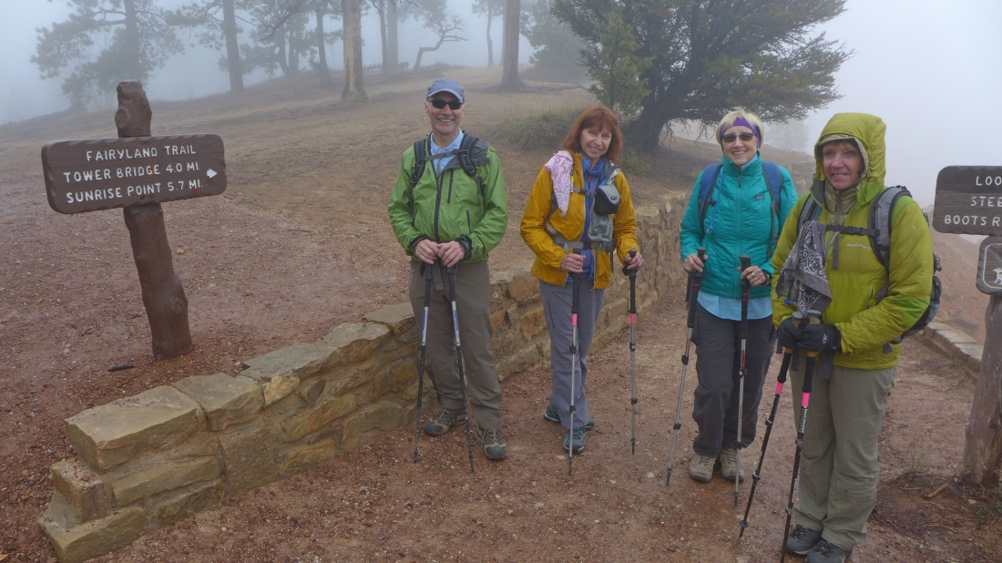
tomman, BarbE and Snowdog pose with the hoodoos in their rain gear.
|
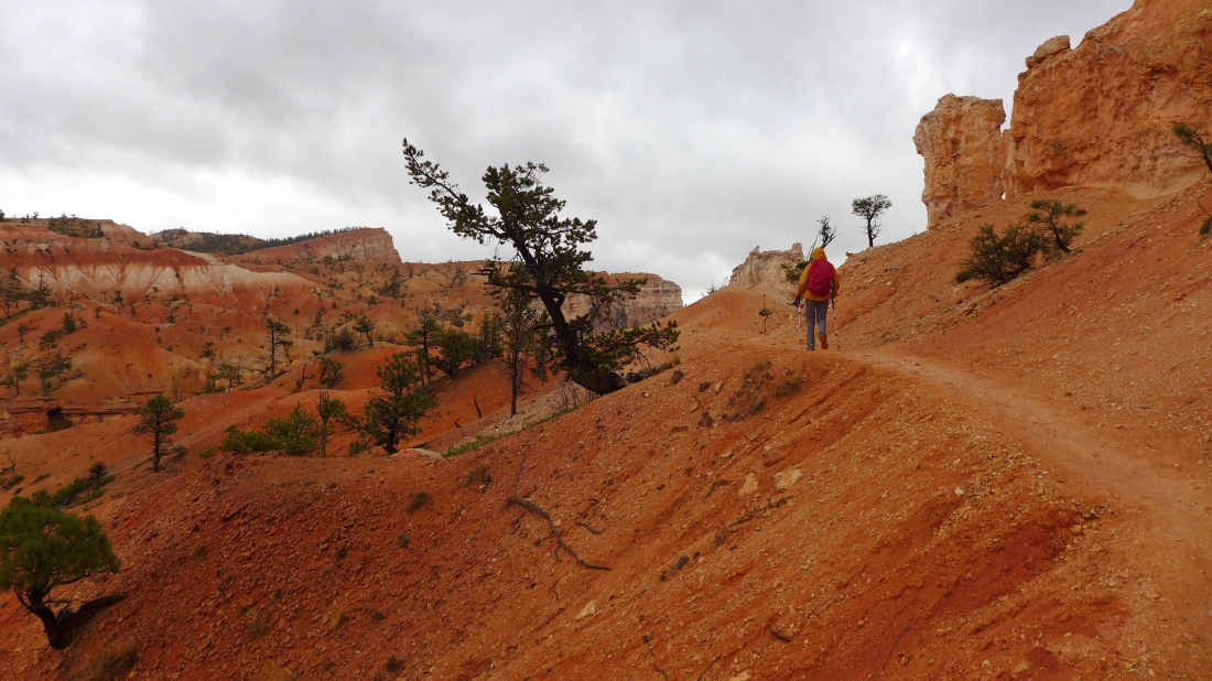
BarbE continues along the ups and downs of the Fairyland Loop Trail.
|

Sunshine appears.
|
Clouding in again.
|
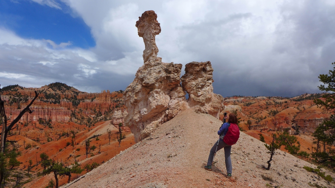
BarbE shoots what we called cobra rock.
|
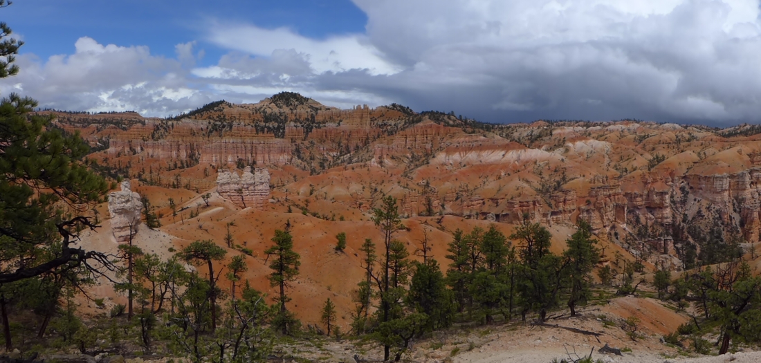
Half sun... and half clouds.
|
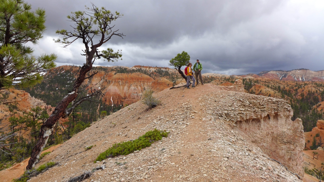
tomman, BarbE and Snowdog hanging out with a lone pine tree.
|
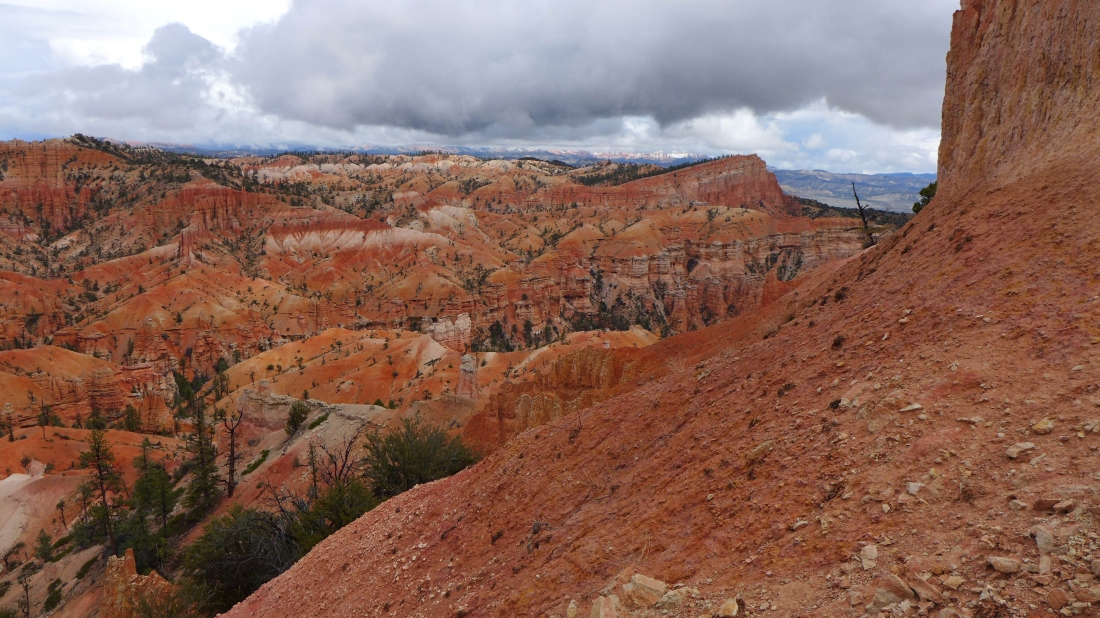
I believe the snow-capped mountains on the horizon are in Staircase Escalante National Monument.
|
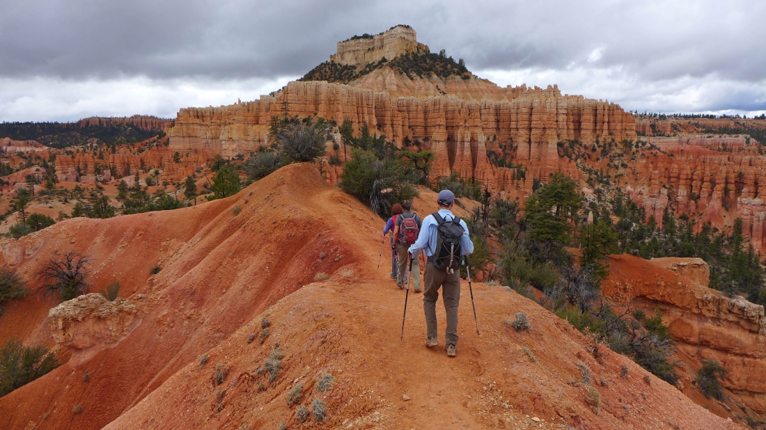
Hiking directly toward Boat Mesa.
|

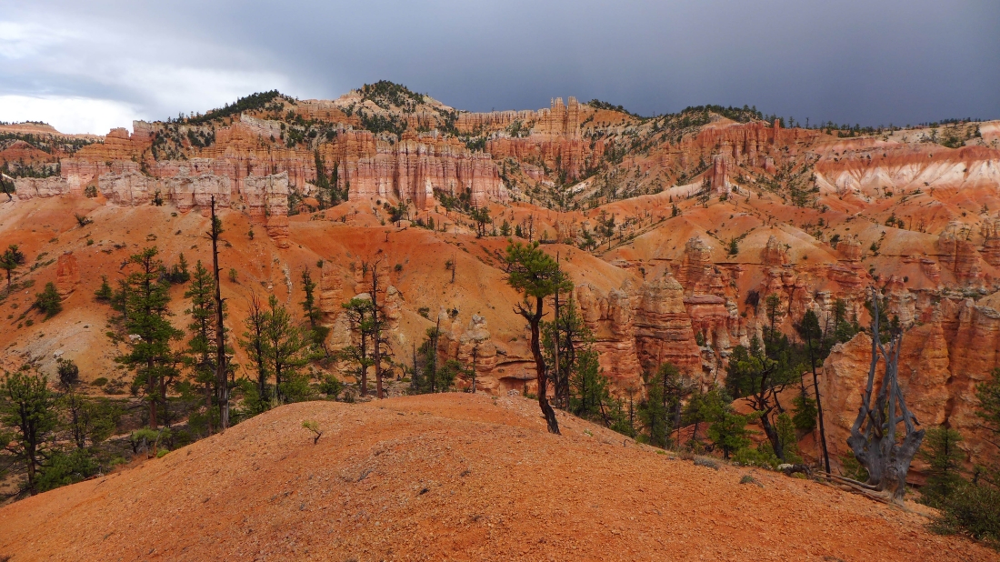
Clouds are coming.
|
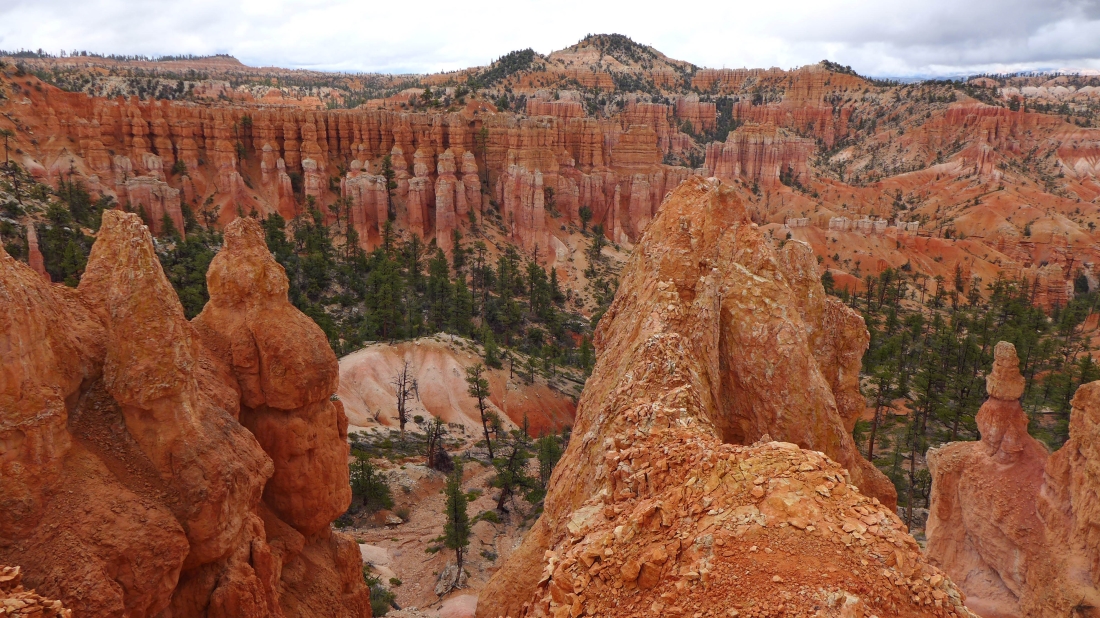
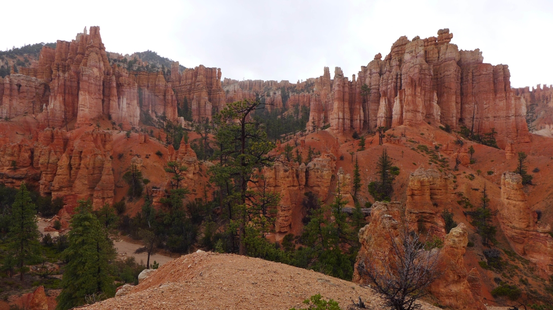
Hoodoos.
|
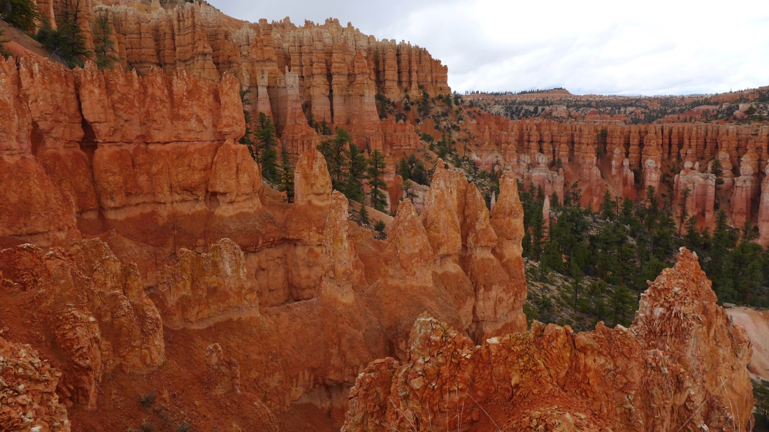
and more hoodoos.
|
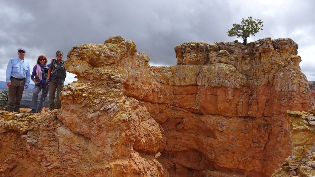
BarbE and tomman posing at an overlook.
|
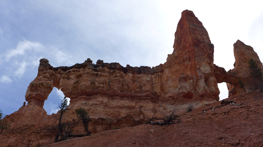
tomman and I took a short trip out to Tower Bridge.
|
The sun returns.
|
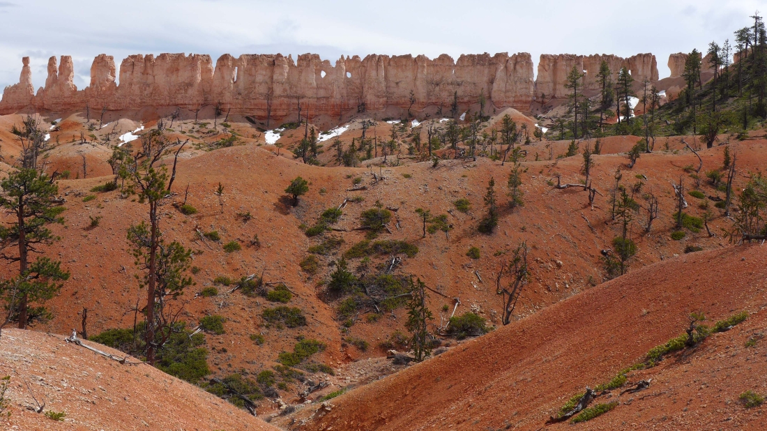
The Chinese Wall.
|

tomman leans on a skinny tree.
|

Almost back to Sunrise Point on the canyon rim.
|
