Camelback - 4.12.2016
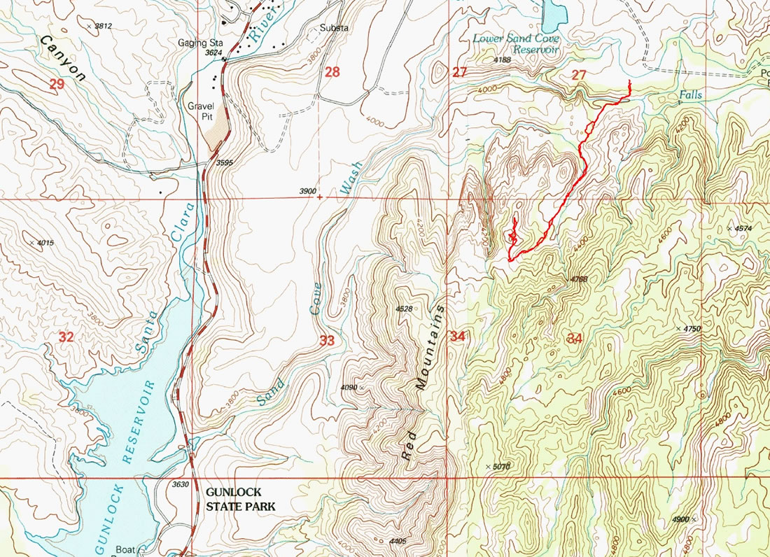
A photo of the GPS track for our scramble to Camelback... located in the Red Mountains near the town of Gunlock, Utah... 2.5 miles roundtrip, gaining 660 feet of elevation.
|
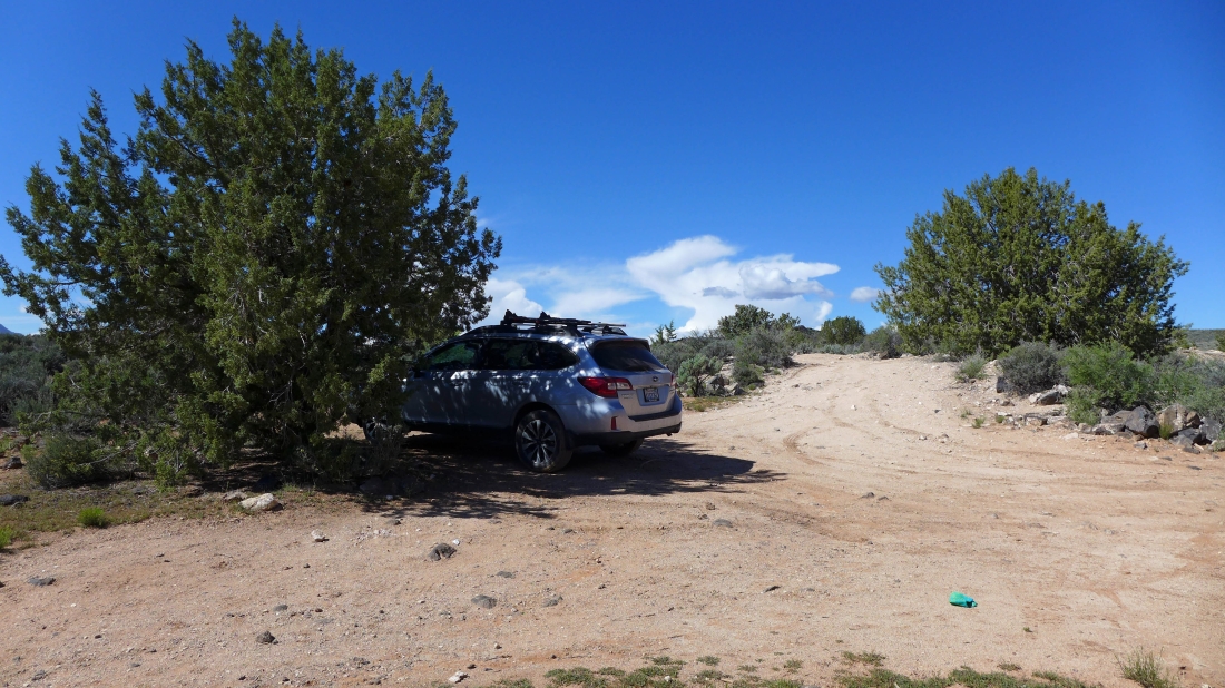
There is no official trailhead... the trailhead is located near Lower Sand Cove Reservoir... use the link above to find the trailhead directions.
|
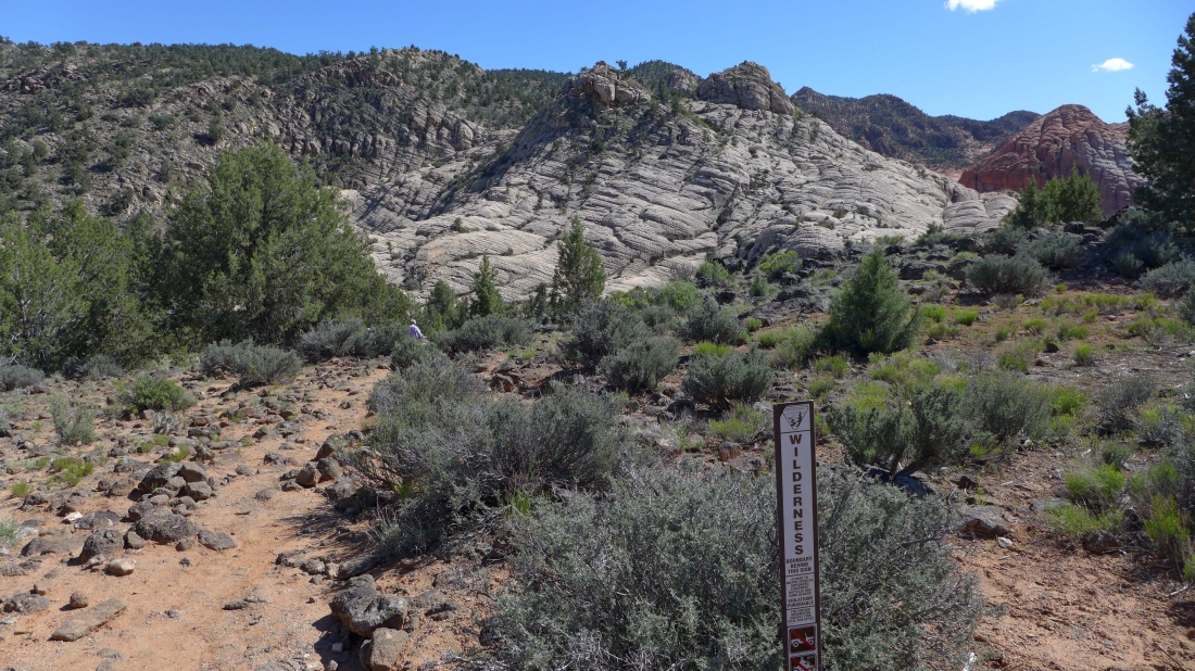
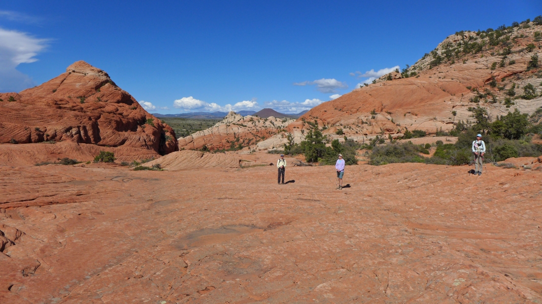
Even though there isn't an official trailhead, the path is obvious... the path will take us over by the red rock on the far right of the photo.
|
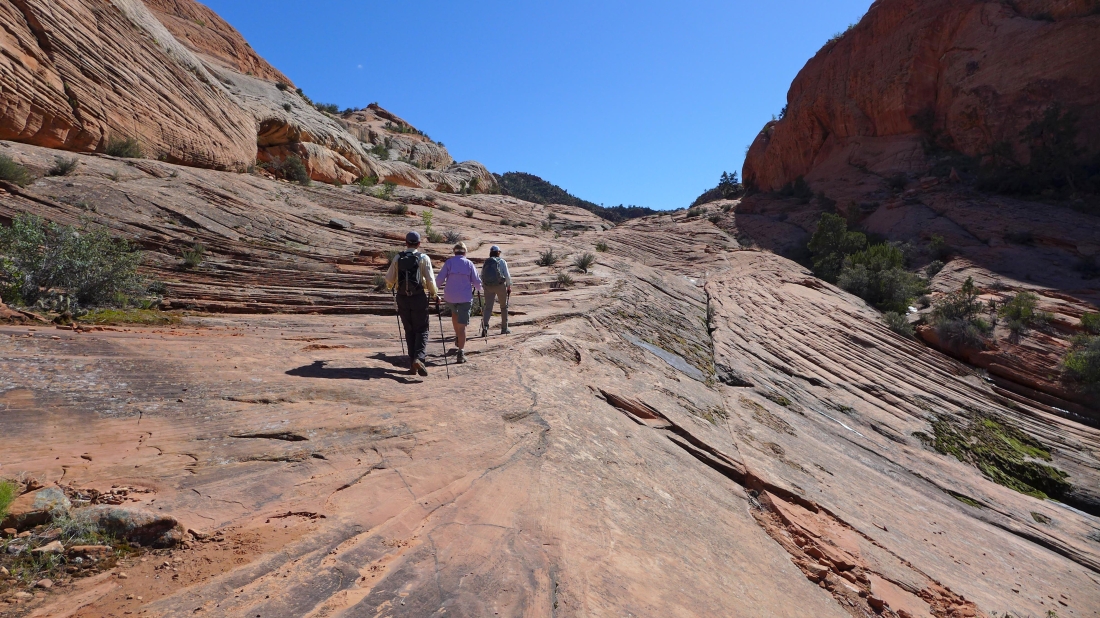
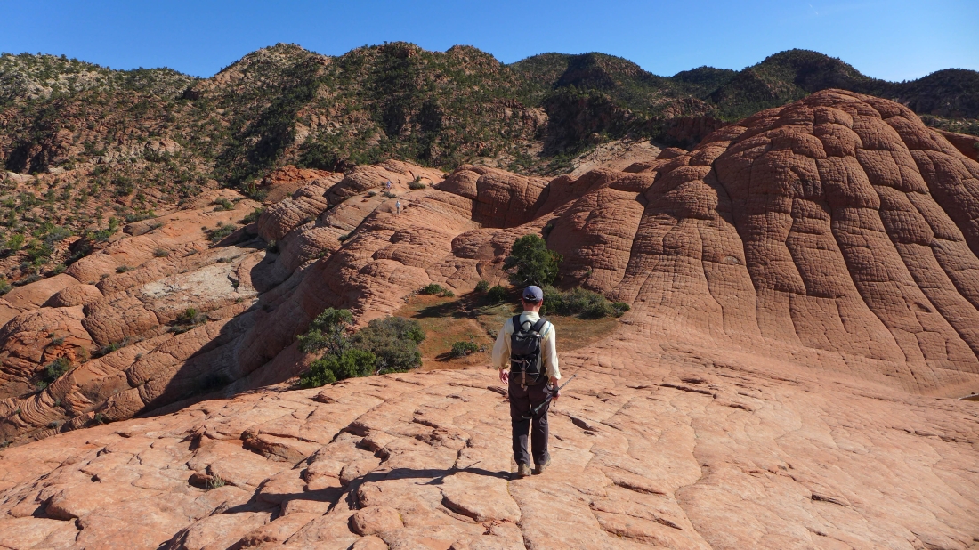
On the slickrock... hiking up canyon.
|
Slickrock everywhere.
|
BarbE is following a nice set of cairns.
|
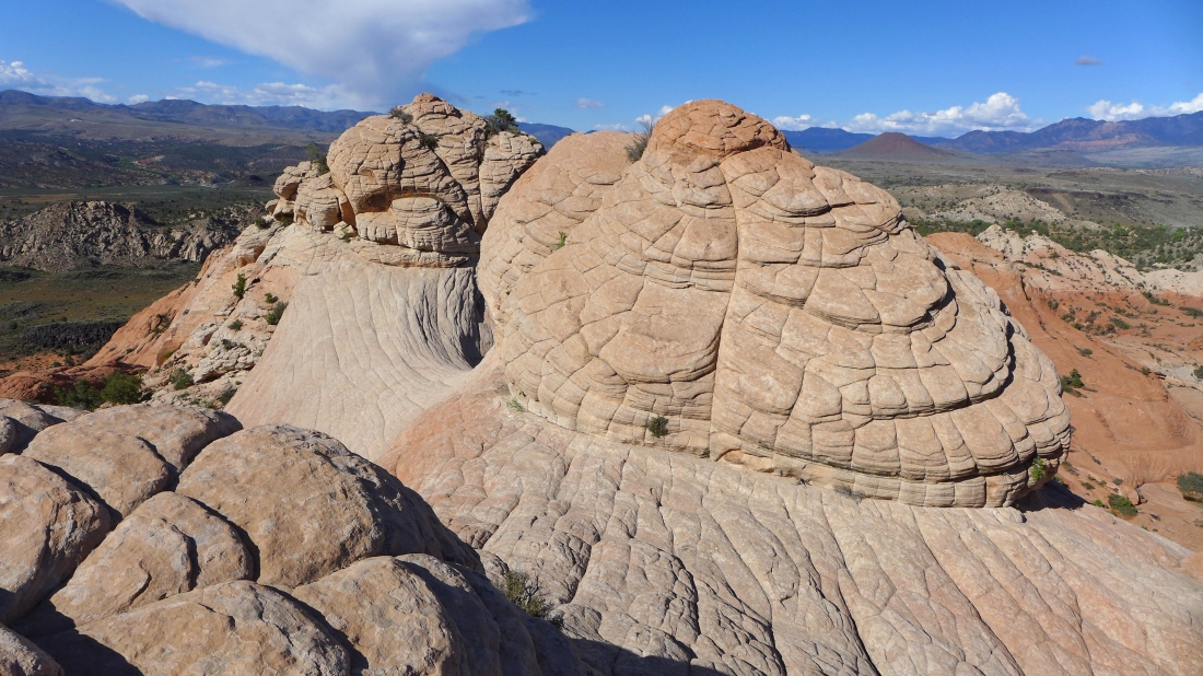
Nearing the humps of Camelback.
|
The gang is standing over the 'Toilet Bowl'.
|
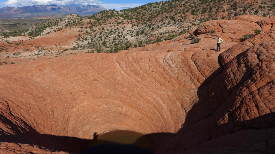
tomman looks down into the 'Toilet Bowl'.
|
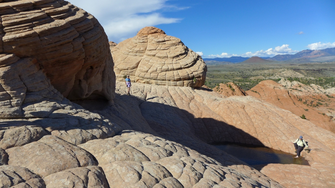
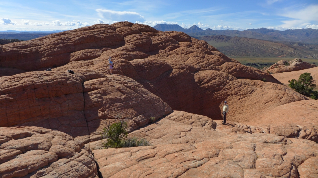
Relaxing at the humps of Camelback.
|
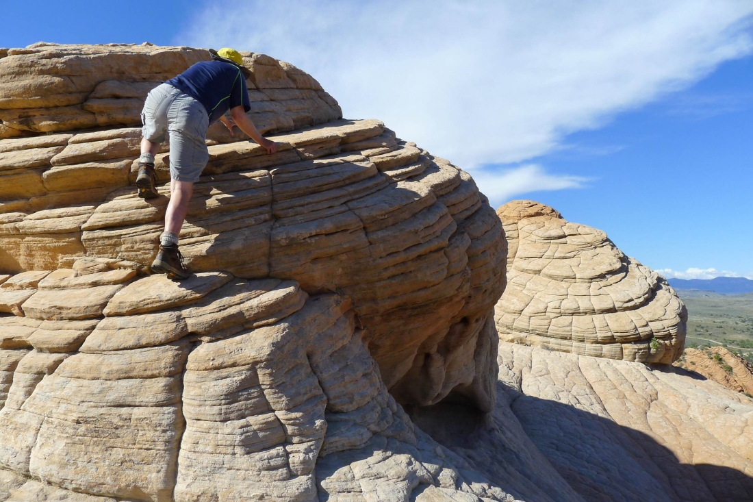
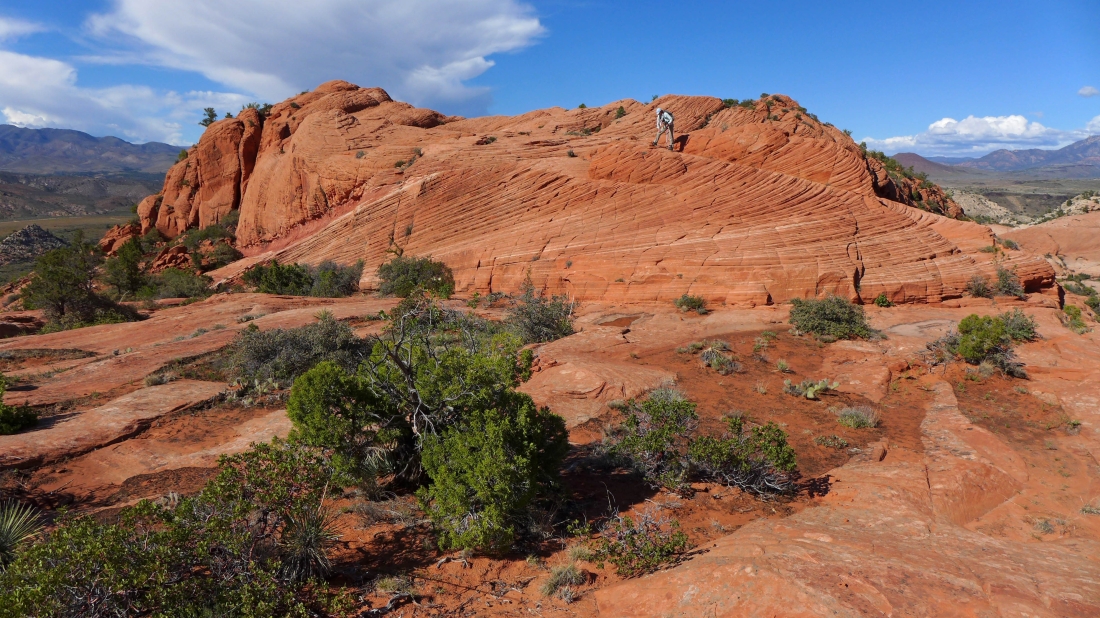
I just had to scramble up one of the humps of Camelback.
|
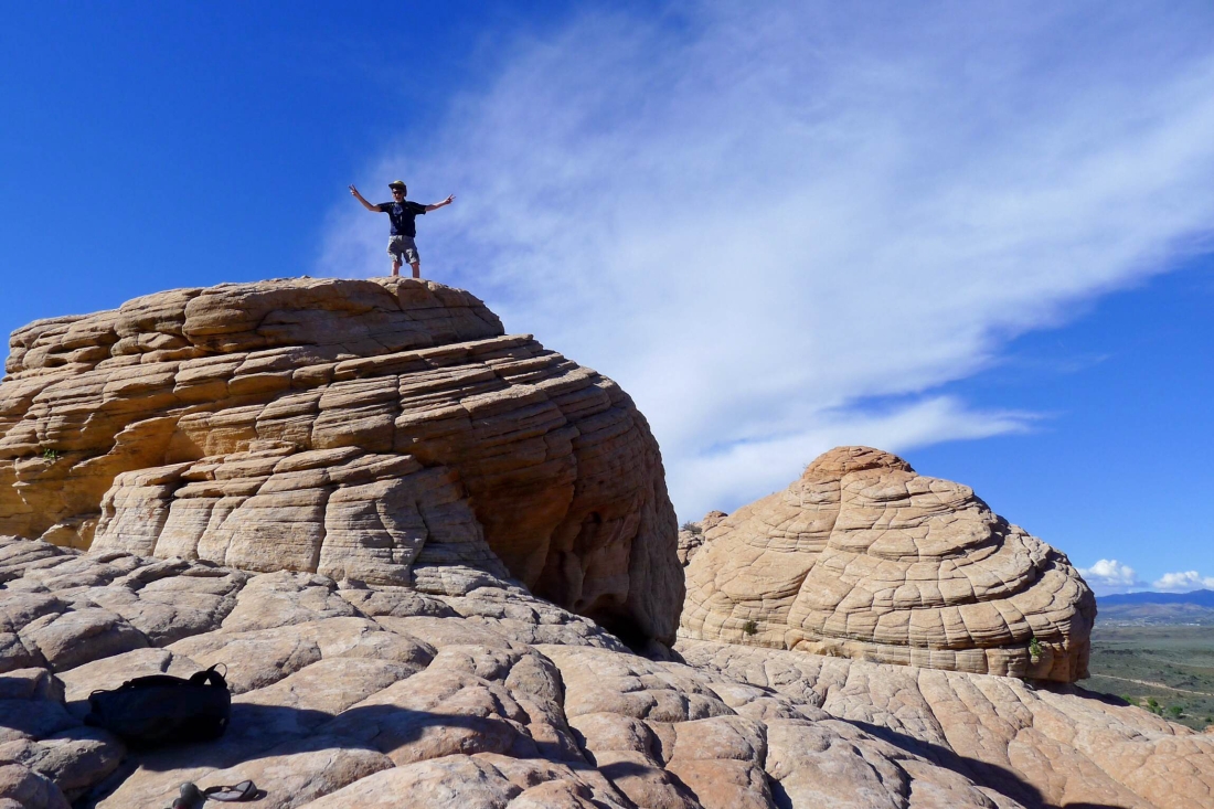
On a hump.
|
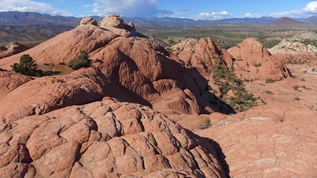
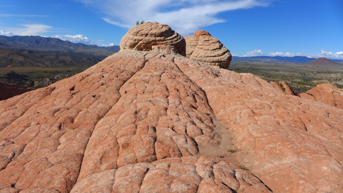
Two more of the humps of Camelback.
|
Leaving the humps... Veyo Volcano in the distance on the far right.
|
Heading back to the car.
|
