Bean Peak - 5.12.2016
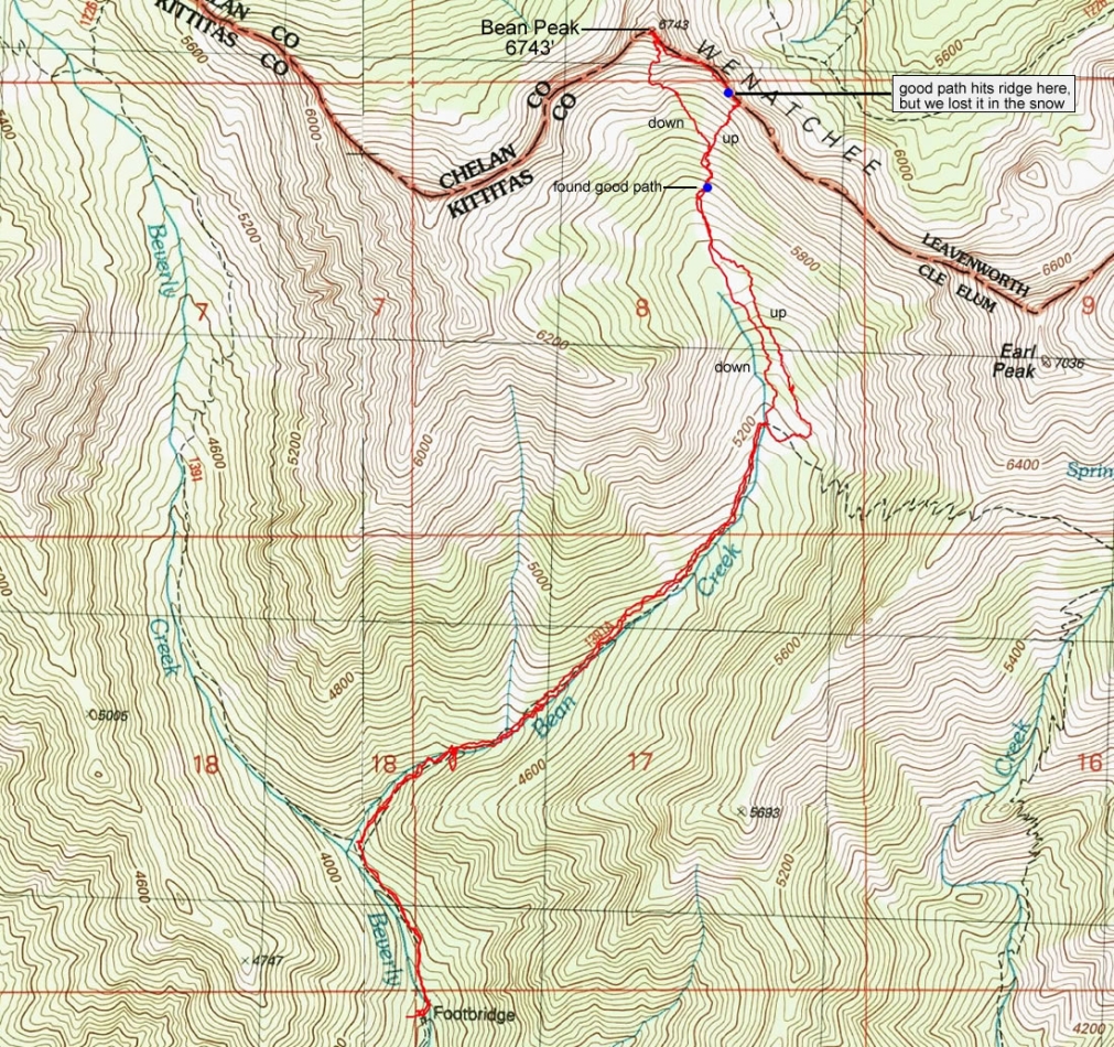
A photo of the GPS track for our scramble to the summit of Bean Peak... 7.3 miles roundtrip, gaining 3356 feet of elevation.
|
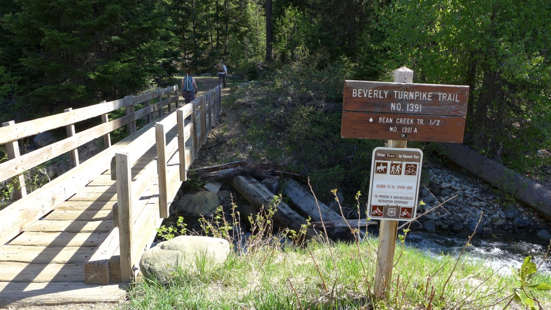
We parked (~3600') at the Beverly Turnpike Trailhead.
|
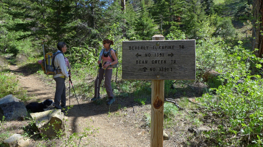
After hiking a half-mile we took the Bean Creek Trail.
|
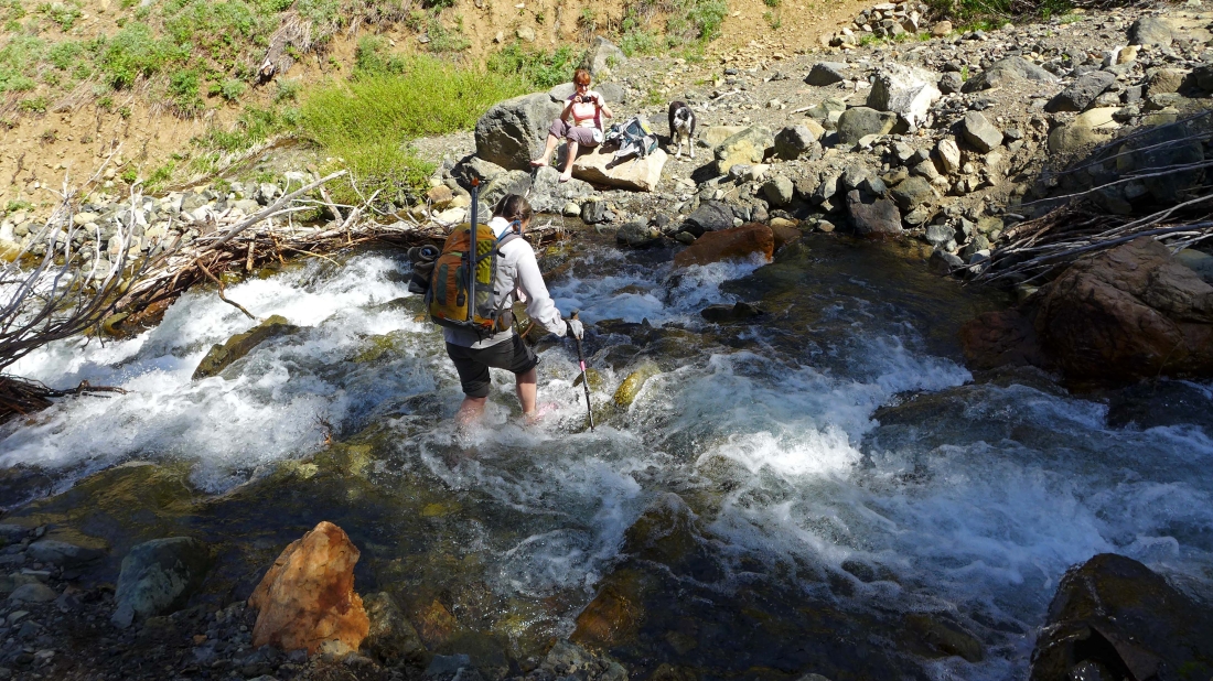
A third of a mile later we needed to cross Bean Creek... not the easiest stream crossing I've ever done.
|
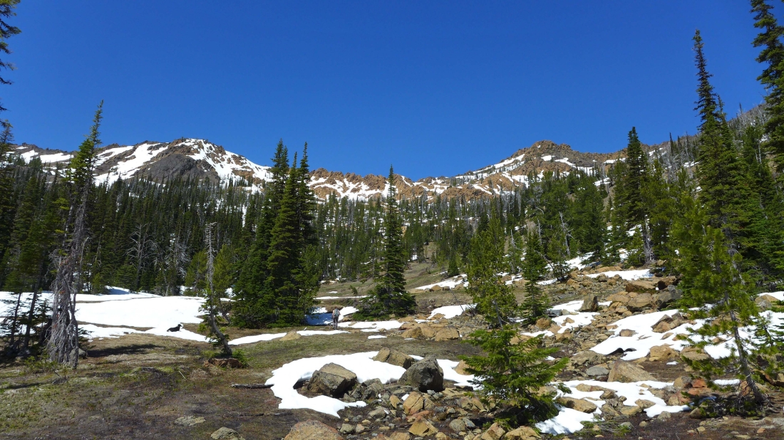
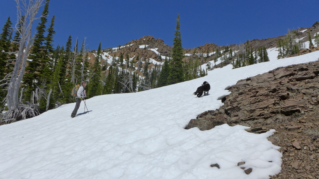
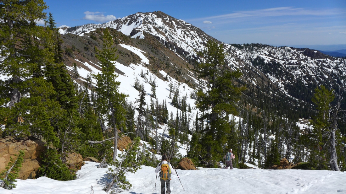
Another 1.5 miles of hiking brought us to Bean Creek Basin... Izzy rests in the snow while BarbE heads for Bean Peak on the right.
|
In Bean Creek Basin... checking out possible routes.
|
We will head for Bean's SE ridge on the right.
|
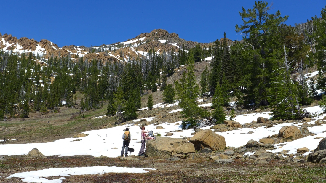
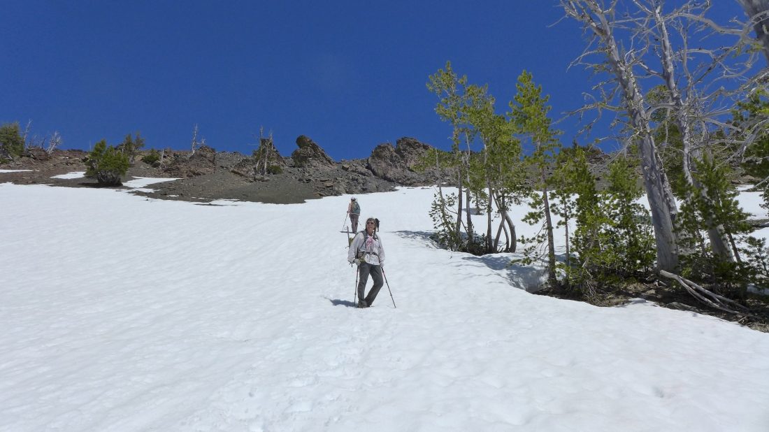
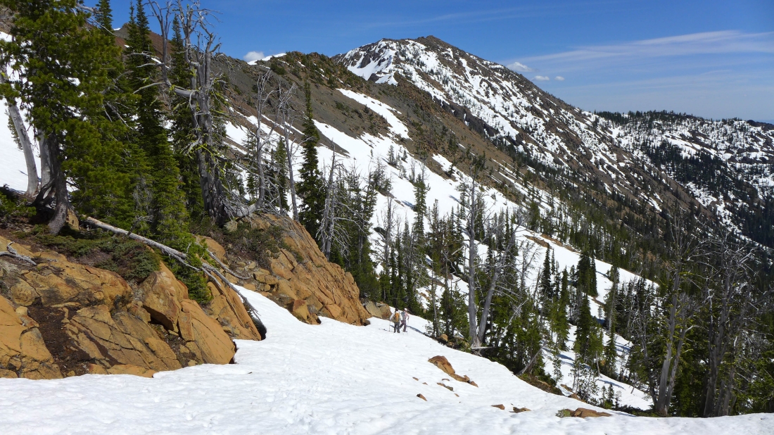
We found a nice path at 5760 feet and decided to use it to reach the ridge.
|
Izzy leads the way.
|
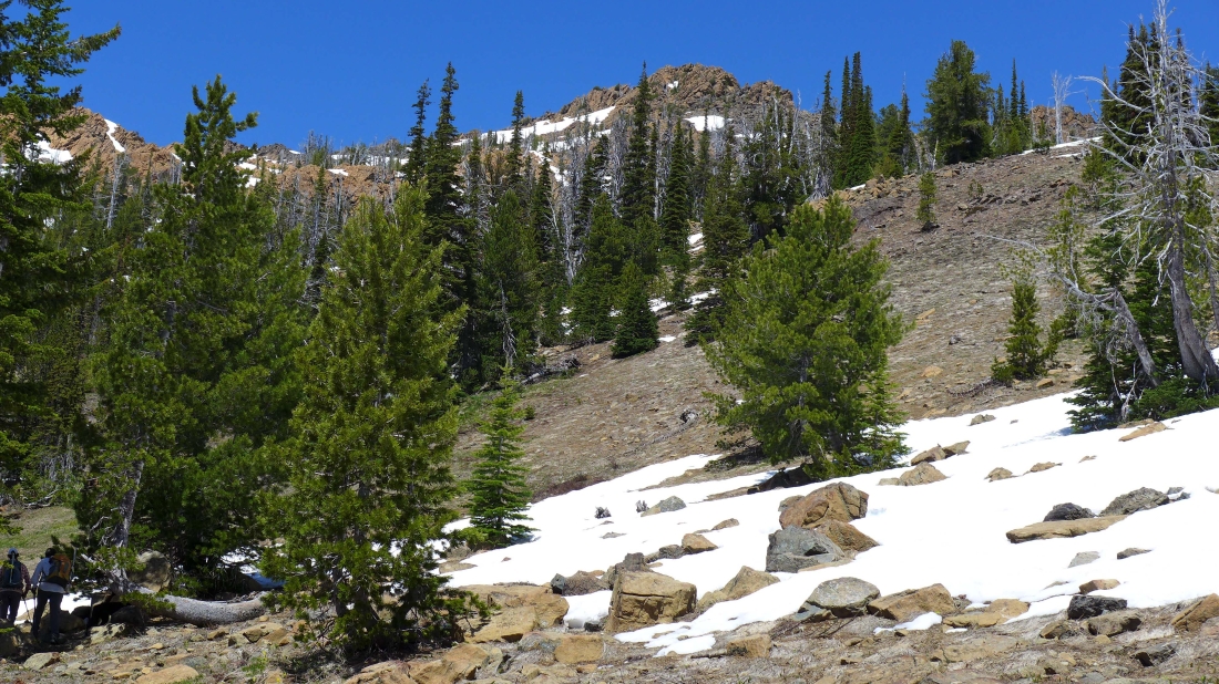
We've lost the path and have decided to take a direct line to the ridge.
|
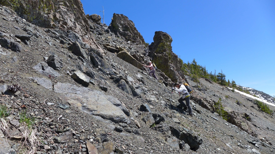
Off of the snow and on very loose rock and dirt... not the most fun we have ever had.
|
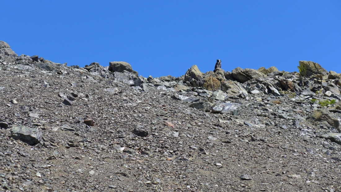
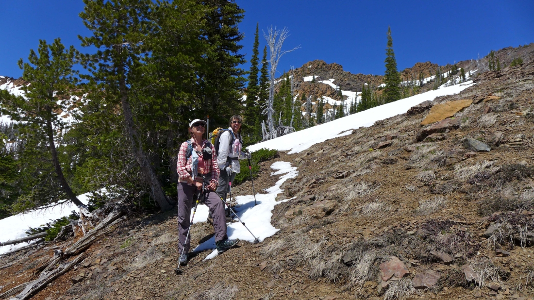
Sometimes Izzy can really bug me... she makes everything look easy.
|
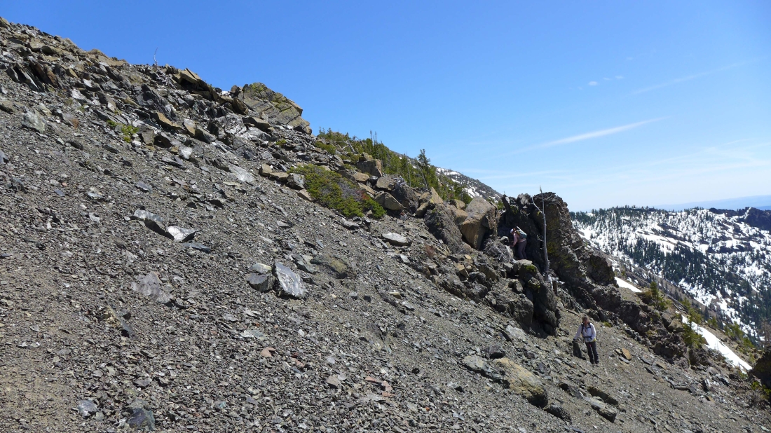
Wow... I've found a better route to the ridge than BarbE and Snowdog.
|
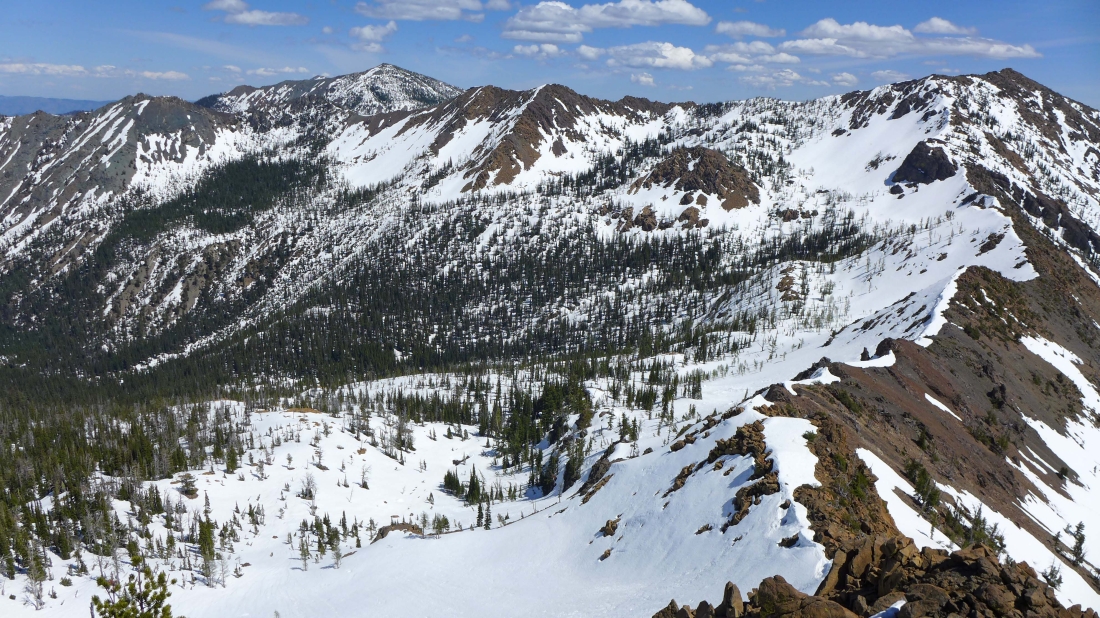
On the ridge now... a pano shot of Judis Peak, Marys Peak and Bean Peak on the right... Bean Creek Basin at the bottom of the photo.
|
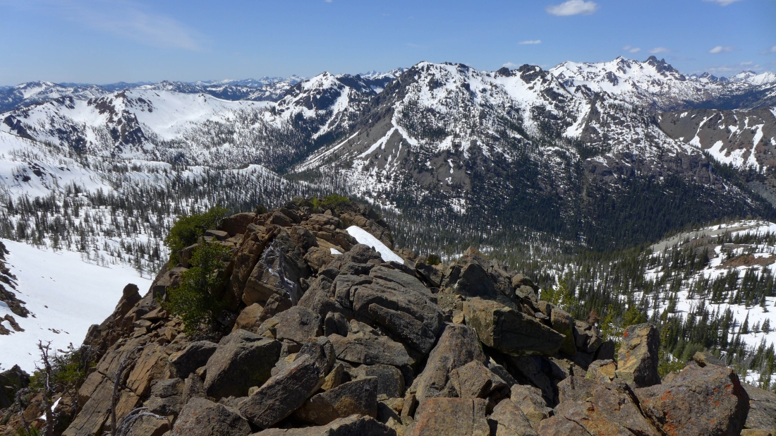
On Bean's SE ridge... looking down on Bean Creek Basin... with Judis Peak (center) and Marys Peak on the right.
|
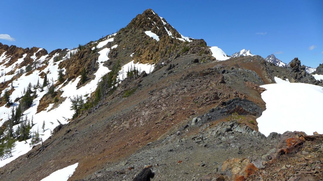
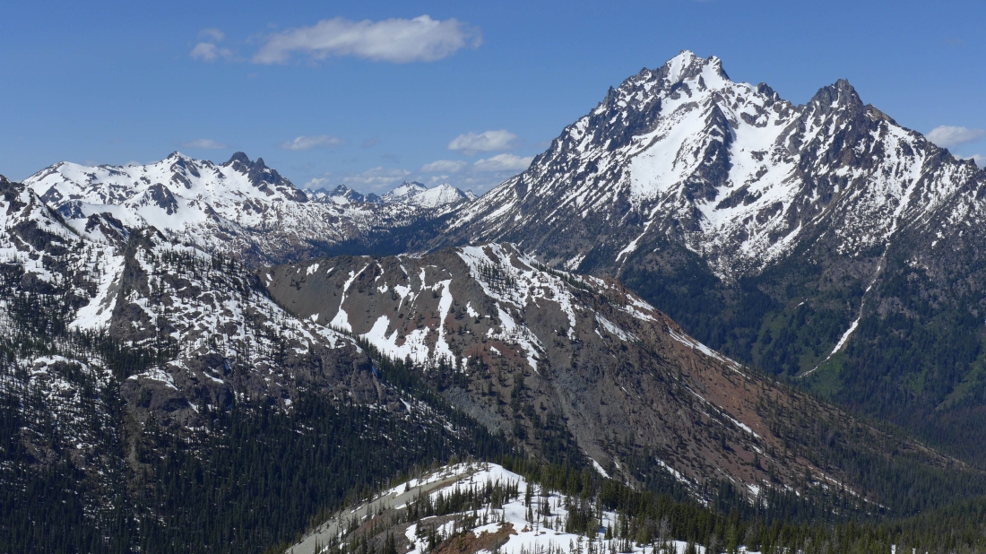
We will just follow our nose along the ridge to Bean's summit block... the tops of Mt. Stuart and Sherpa Peak show themselves in the distance on the right.
|
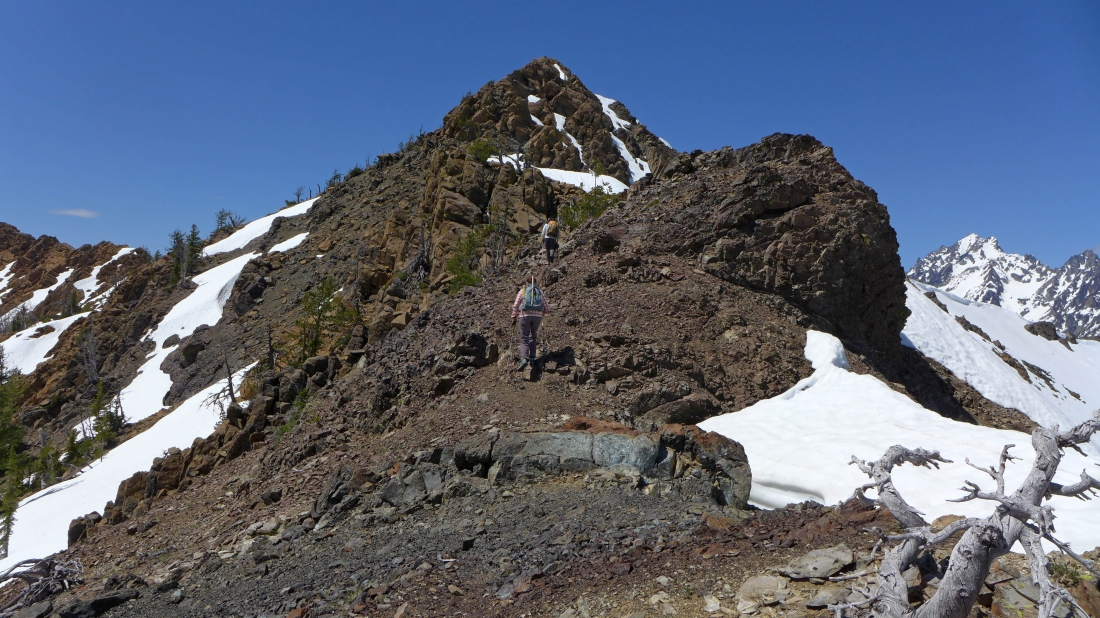
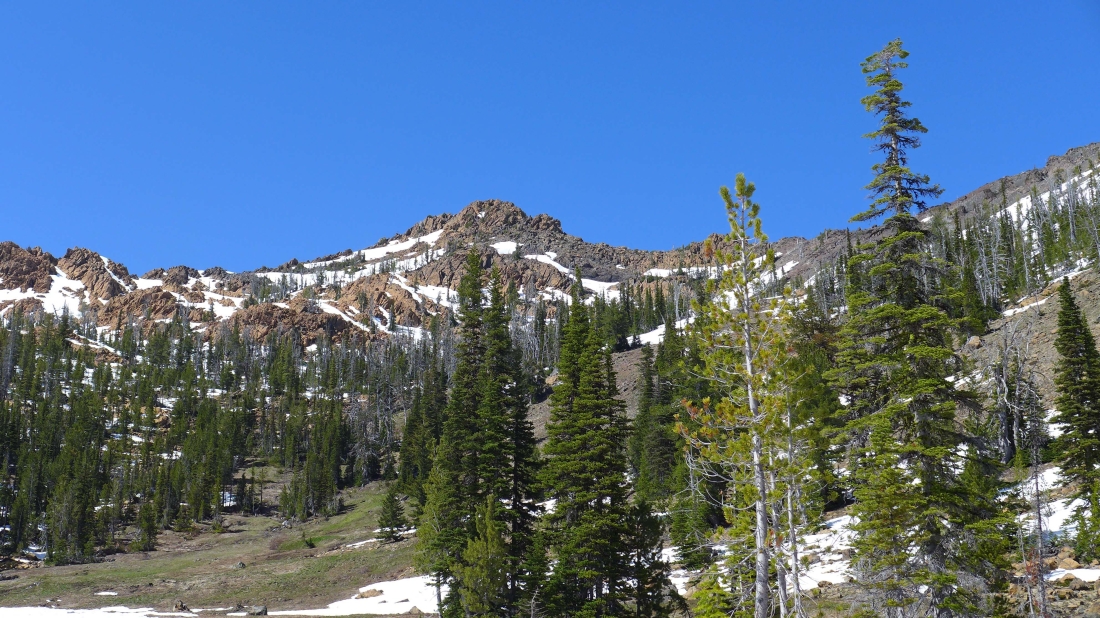
Nearing the summit block of Bean Peak... following a nice path.
|
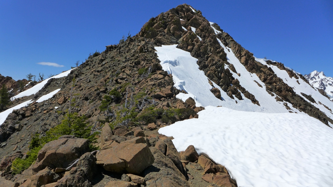
Almost time to start scrambling.
|
Still on a reasonable path.
|
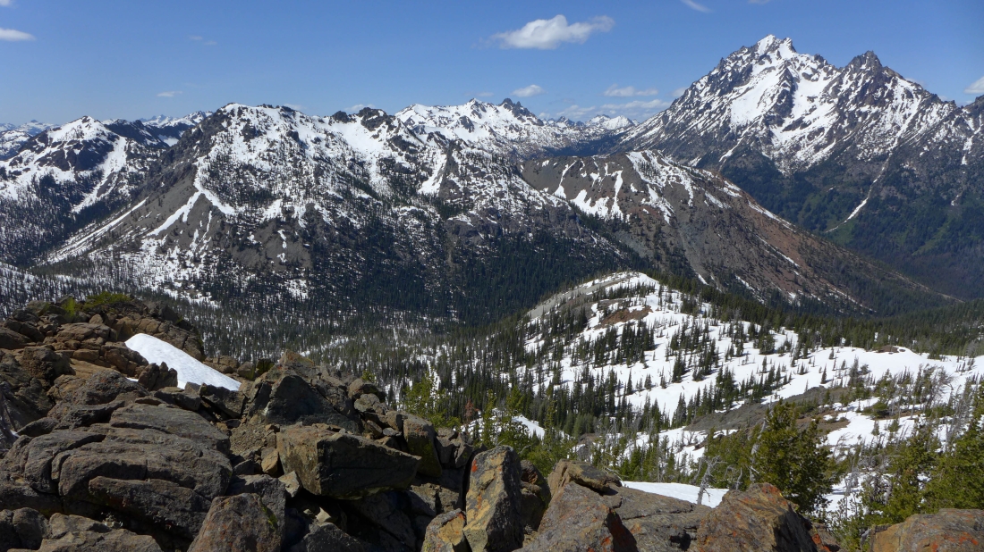
A nice view of part of the Stuart Range... left to right... Argonaut, Colchuck, Dragontail, Little Annapurna and McClellan... Volcanic Neck is the large black rocky thing in the left foreground that doesn't have a drop of snow on it.
|
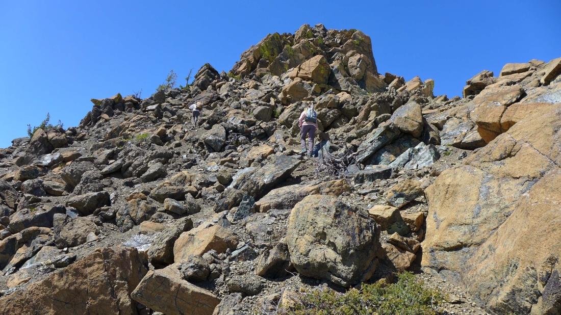
Time to scramble.
|
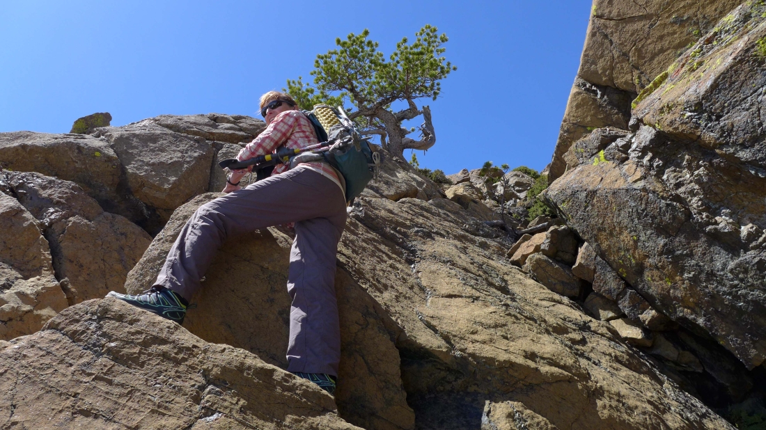
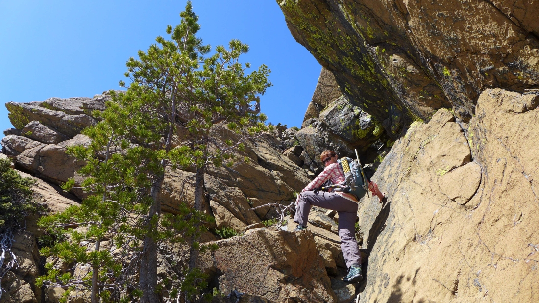
BarbE finds a nice ramp.
|
A few Class 3 moves on the way to the summit... Earl Peak in the distance.
|
Still climbing.
|
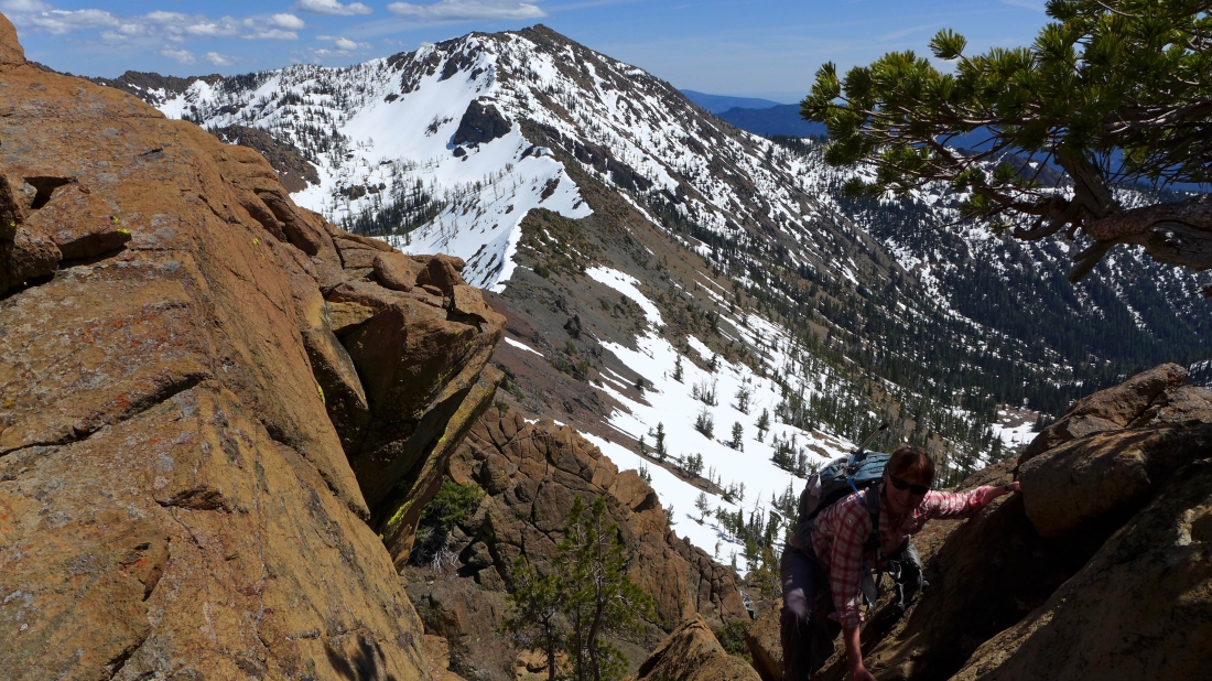
Snowdog tethered Izzy to a tree and has started to scramble up.
|
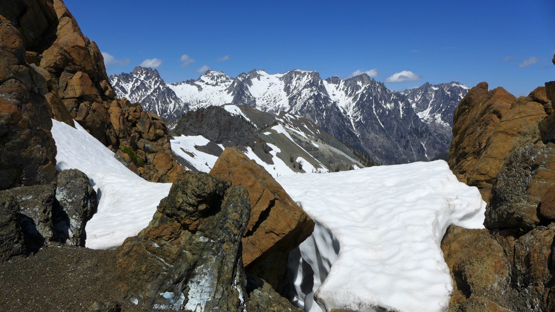
The ridge leading from Bean Peak to Earl Peak is on the far right... with Navaho Peak the big pyramid on the left.
|
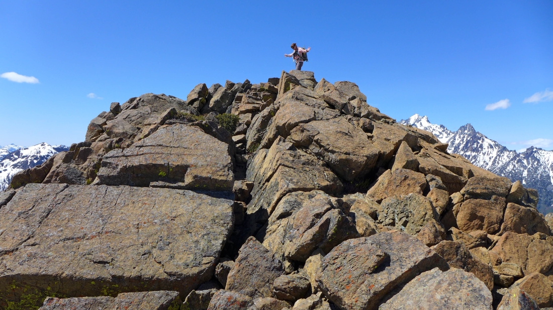
BarbE stands on the Bean Peak summit (6743')... Teanaway Peak on the far left... with Mt. Stuart and Sherpa Peak on the right.
|
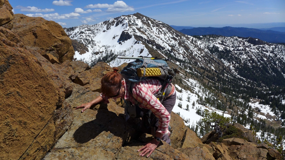
Here comes Snowdog... Earl Peak in the distance.
|
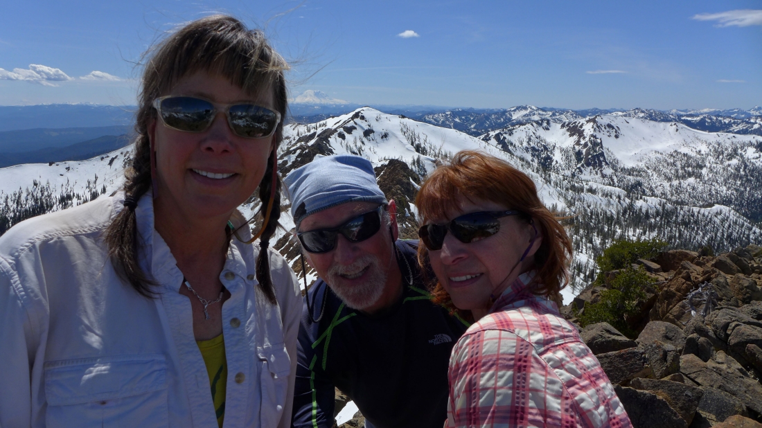
A selfie on the Bean Peak summit.
|
Bills Peak in the left foreground... Teanaway Peak on the far left... Fortune and the 3 summits of Ingalls Peak in the center... Stuart and Sherpa on the right... Fish Eagle, The Cradle and Harding are off in the distance between Ingalls and Stuart.
|
|
Peak identification.
|
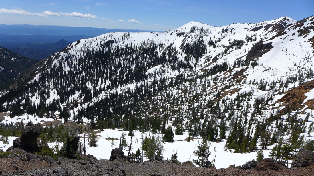
The ridge that connects Bean Peak to Marys Peak is in the center of the photo... Judis Peak on the far left... with the long ridge walk to Iron Peak on the right... Mt. Rainier in the distance.
|
A closeup of Fortune and Ingalls on the left... Stuart and Sherpa on the right... with Fish Eagle, Cradle and Harding on the other side of Stuart Pass in the center of the photo.
|
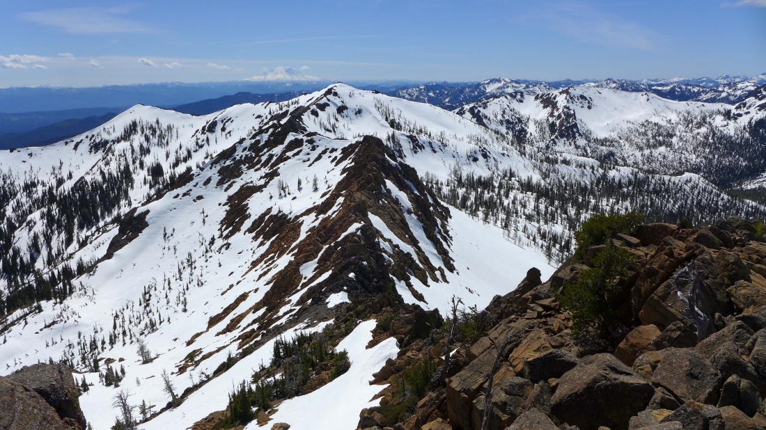
Looking west from the Bean Peak summit... the 3 foreground peaks are Iron (left), Teanaway (center) and Bills (right).
|
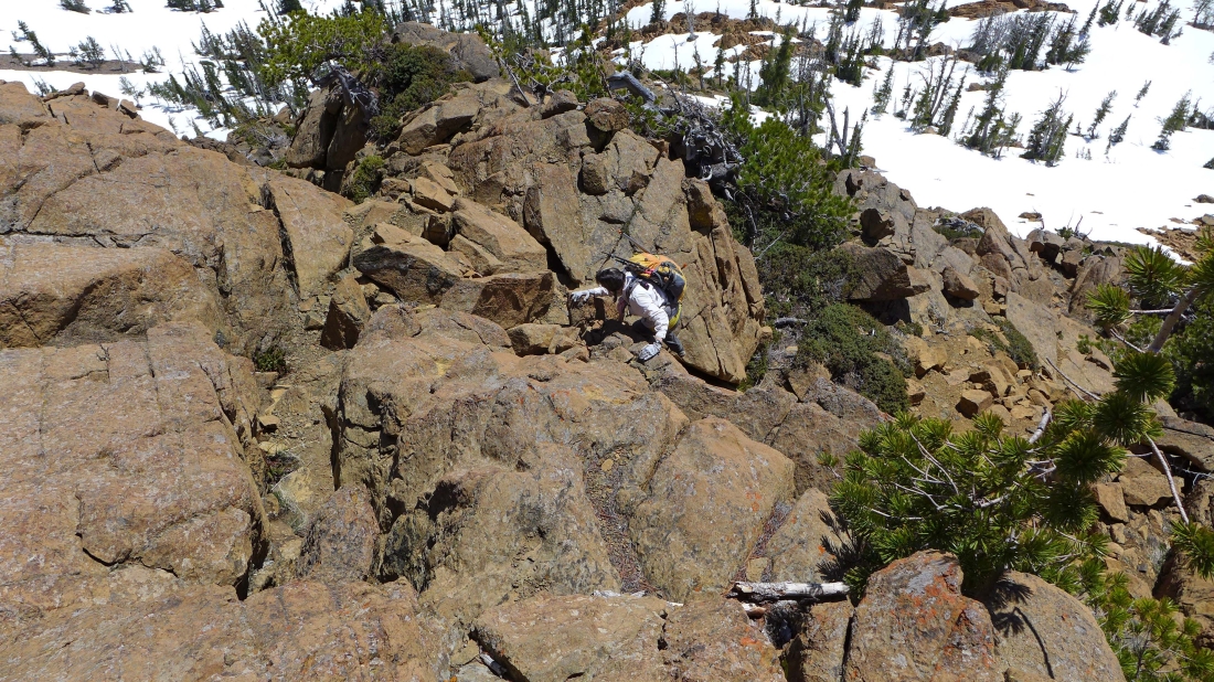
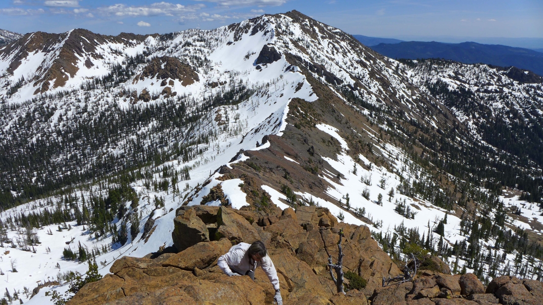
Heading down the south face of Bean Peak... we will not return to Bean's SE ridge on our way down... Earl Peak in the distance.
|
Bean's SE ridge is above on the left as we work our way down to Bean Creek Basin... Earl Peak in the distance.
|
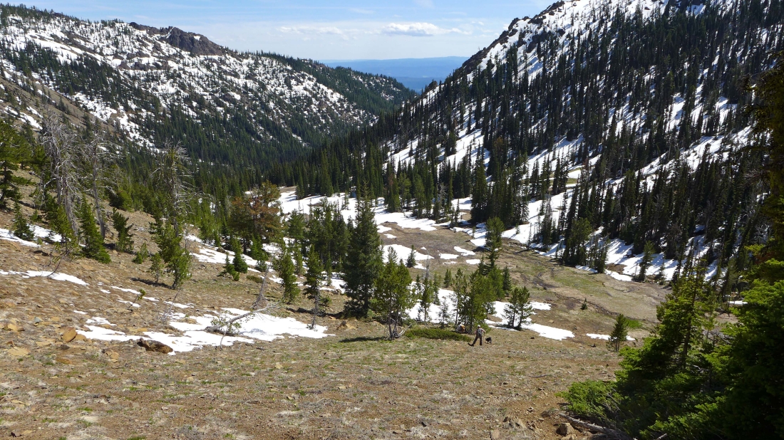
Back on the snow-free path as we near Bean Creek Basin.
|
A last look at Bean Peak as we head for the barn.
|
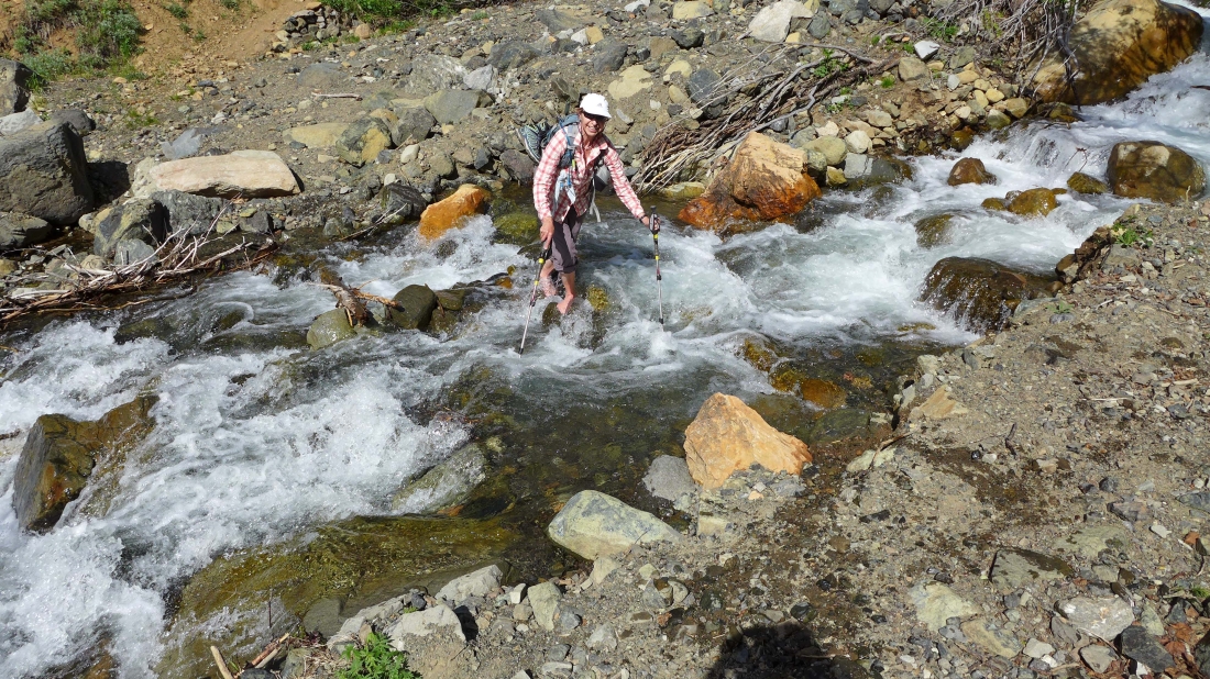
Oh joy... we get to do the stream crossing on the way back to the car.
|
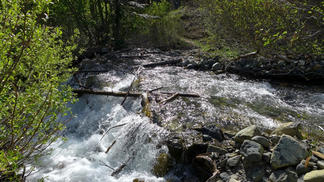
A half-mile from the car I took the 50 foot stroll over to check out the Bean Creek crossing that is necessary to go up the Beverly Turnpike... it is not as sporty as the one we did to reach Bean Creek Basin... but a person might need to wade across to keep boots and socks dry.
|
