Teanaway Peak - 5.18.2016
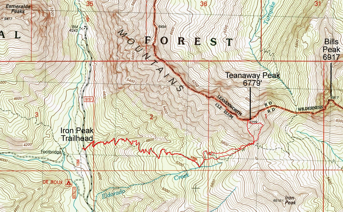
A photo of the GPS track for our scramble of Teanaway Peak via the south ridge... 5.7 miles roundtrip, gaining 2786 feet of elevation.
|
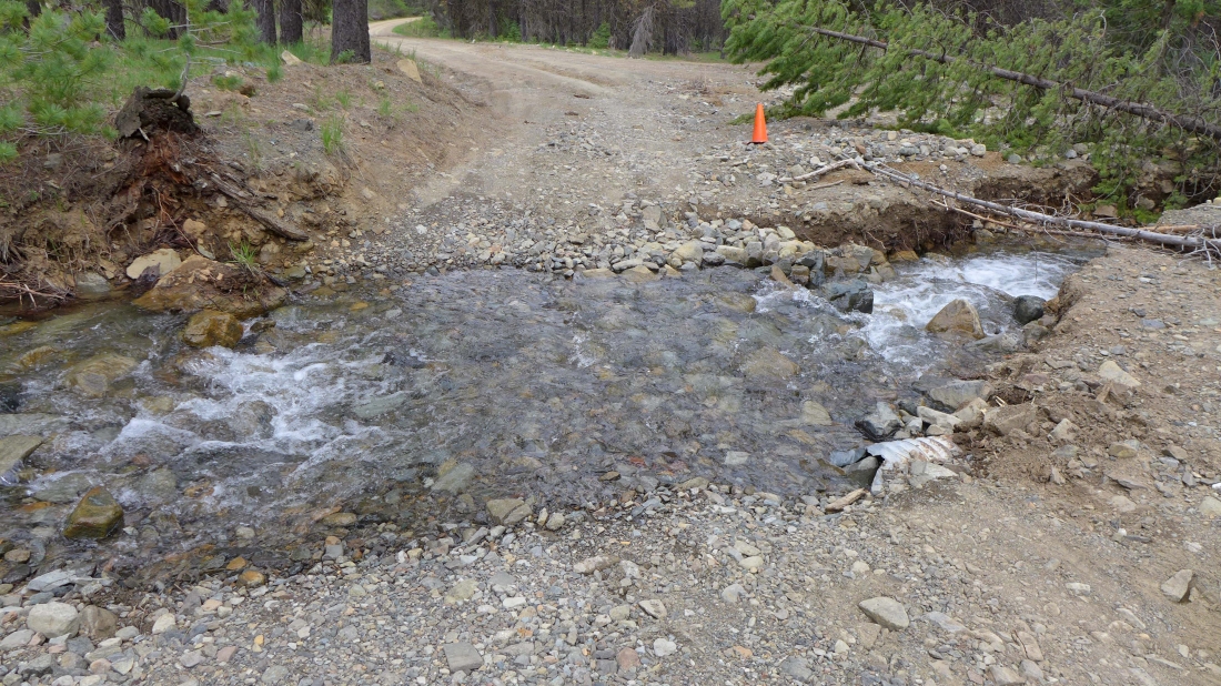
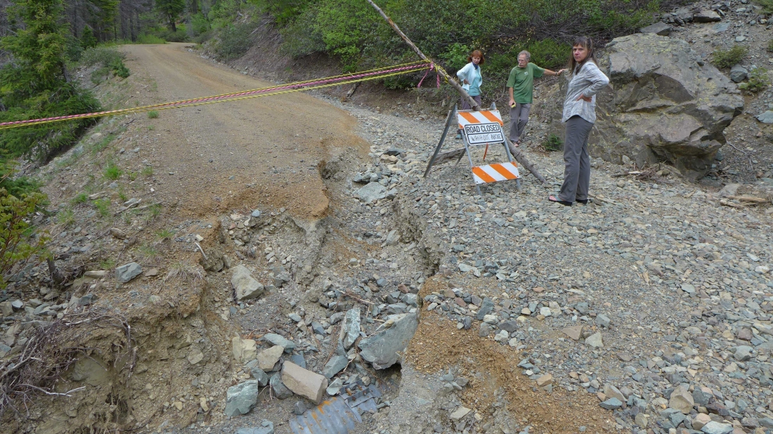
This washout on the N. Fork Teanaway River Road will stop some cars... but not if your vehicle has mid-to-high clearance... I know that a Subaru Outback and Forester made it across with no difficulty. The washout is ~2 miles from the Iron Peak Trailhead.
|
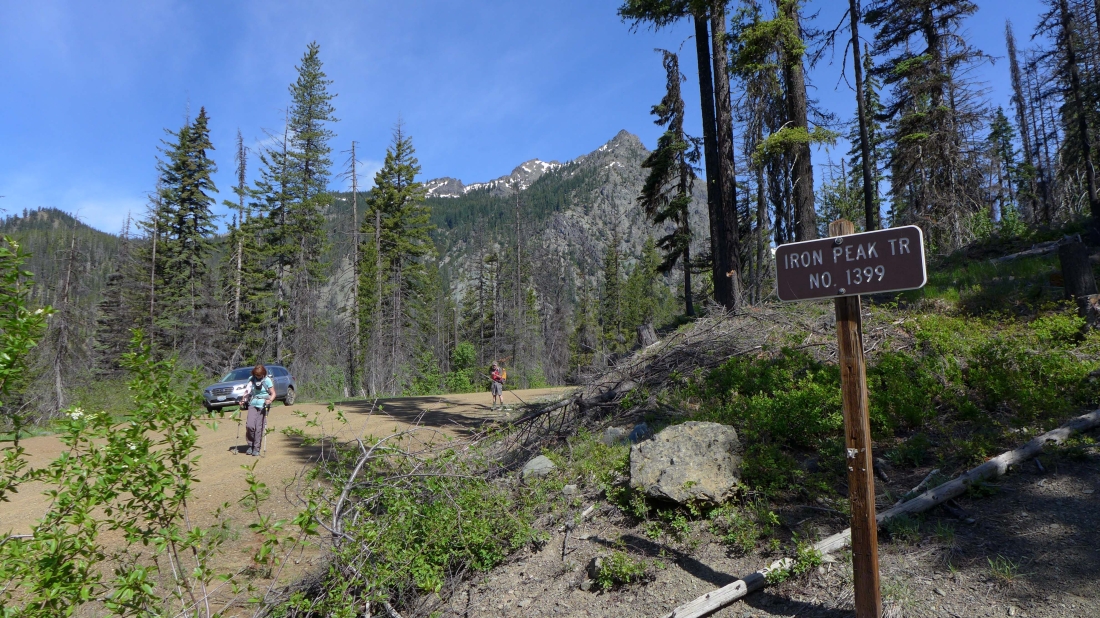
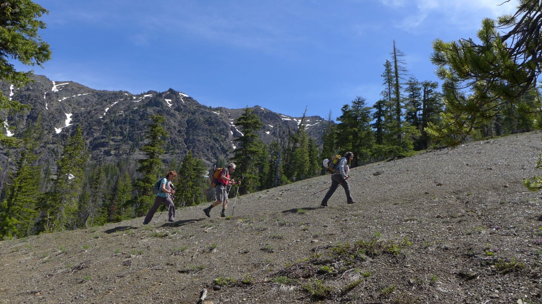
A half-mile or so beyond Camp Wahoo we parked at the Iron Peak Trailhead... the east summits of Esmeralda Peaks are in the distance.
|
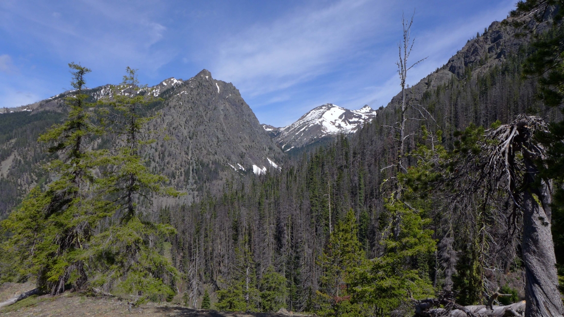
Gaining elevation on the switchbacks of the Iron Peak Trail... the east summits of Esmeralda Peaks on the left... with Fortune Peak and the south summit of Ingalls Peak up valley... clouds are starting to build from the west.
|
On the switchbacks at the beginning of the Iron Peak Trail.
|
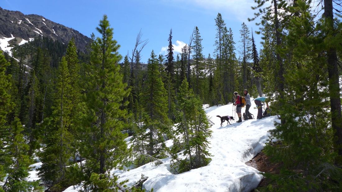
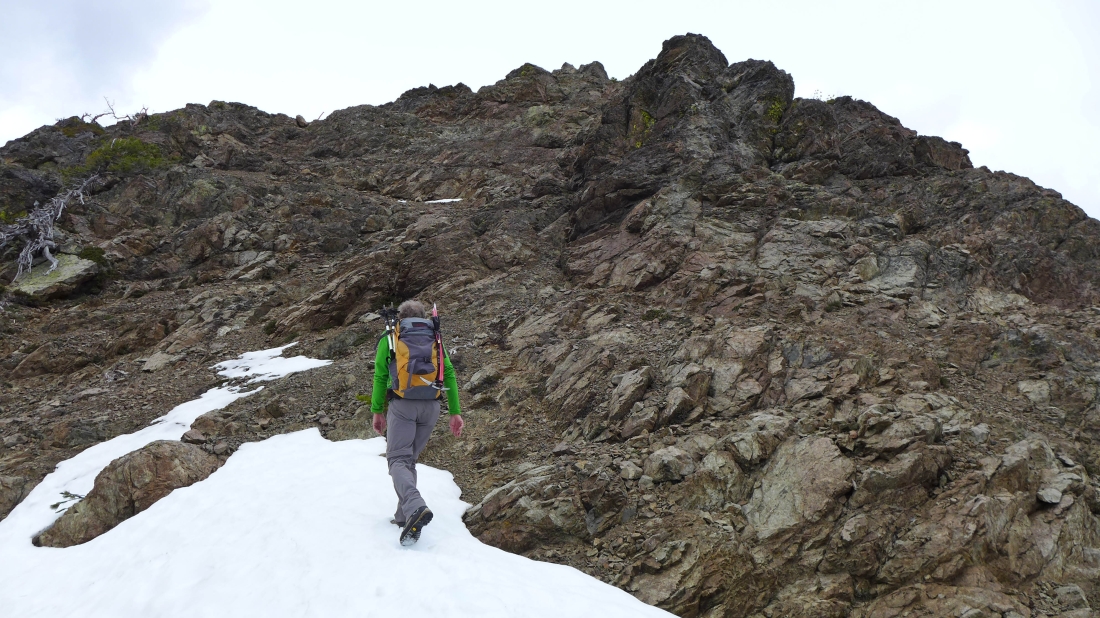
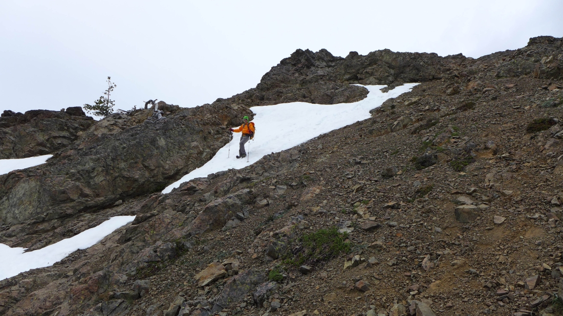
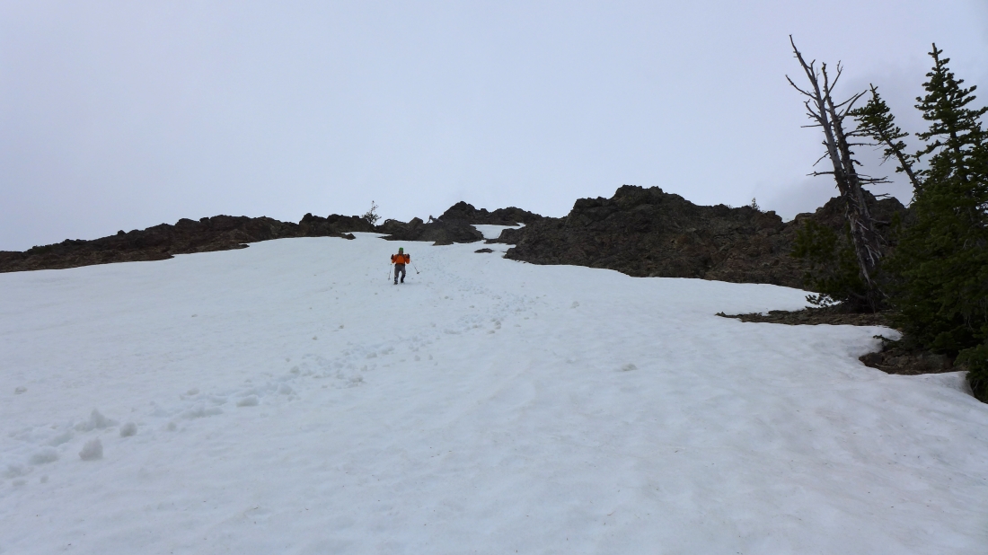
We hit continuous snow at ~5240 feet.
|
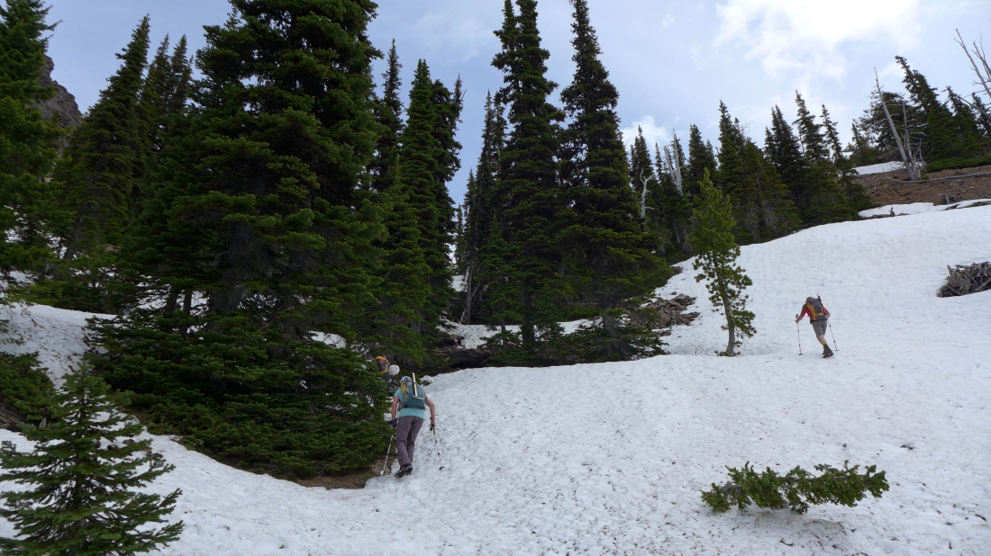
Nearing the saddle between Teanaway Peak and Iron Peak.
|
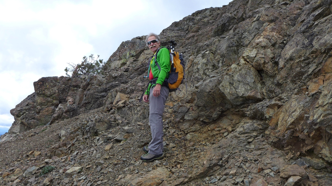
BarbE is a few steps below the saddle between Teanaway Peak and Iron Peak.
|
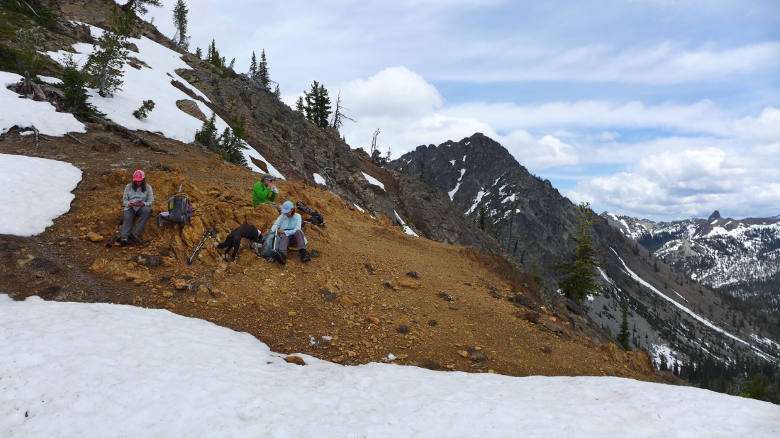
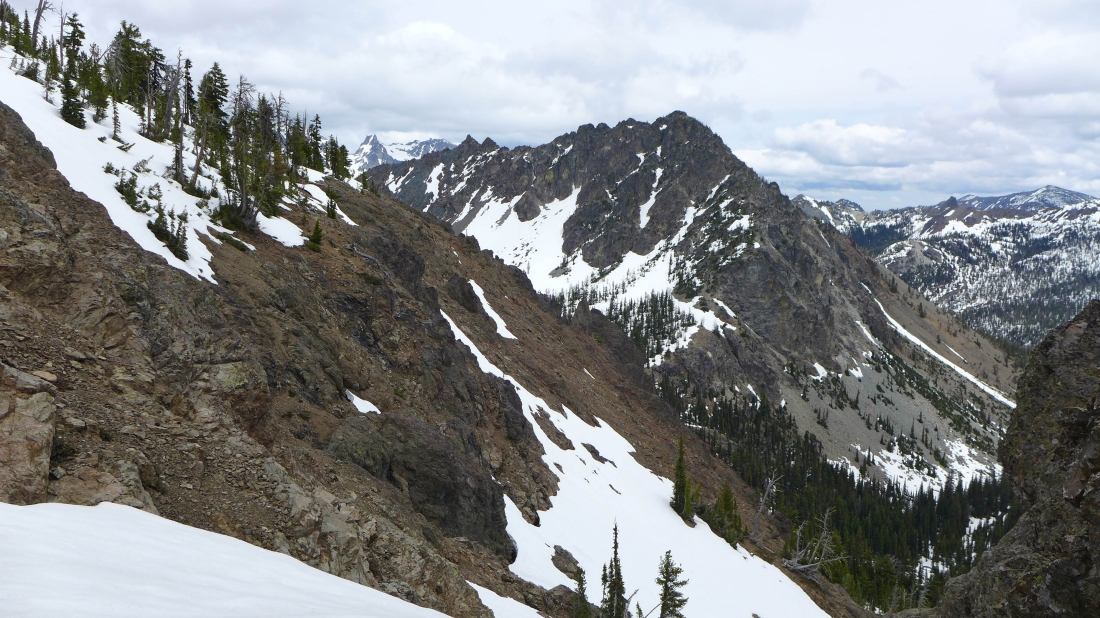
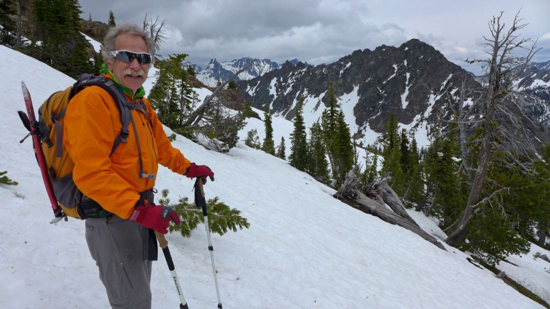
Taking a break at the 6200 foot saddle between Teanaway Peak and Iron Peak... Bills Peak in the center of the photo... and Volcanic Neck in the distance on the far right.
|
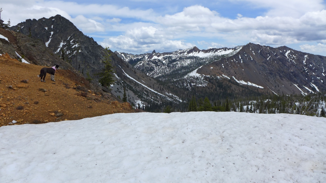
Izzy checks out Volcanic Neck and Bean Peak in the center of the photo... Marys Peak and Judis Peak on the right... with Bills Peak in the left foreground.
|
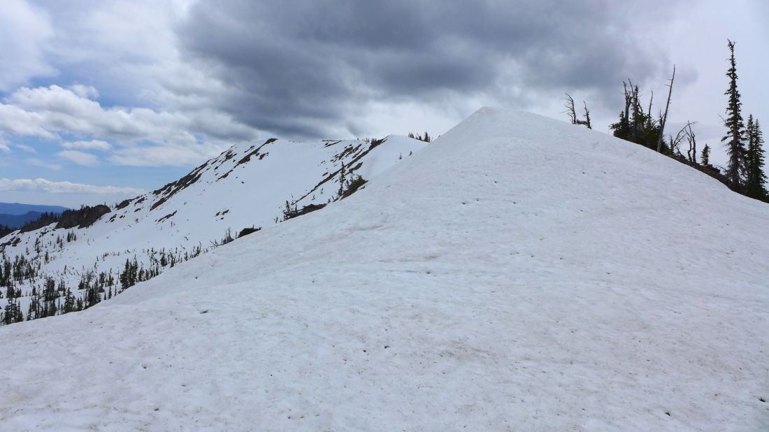
Serious looking clouds hover over Iron Peak.
|
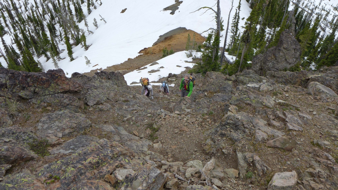
From the Teanaway/Iron saddle I've started up the south ridge of Teanaway Peak... looking down on Snowdog, BarbE and iraman as they scramble up.
|
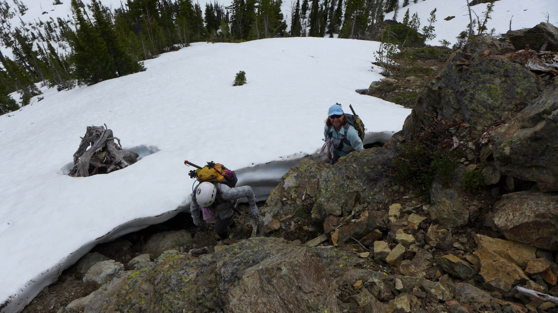
Snowdog and BarbE take advantage of a moat.
|
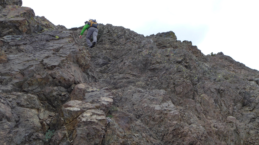
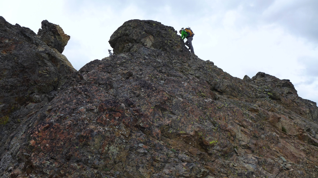
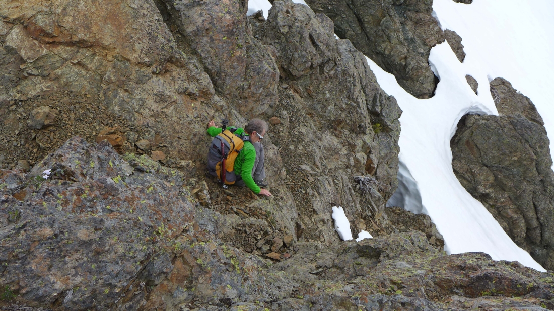
iraman will lead the way up Teanaway's south ridge.
|

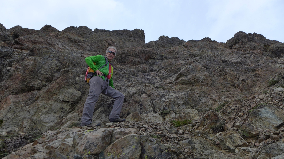
iraman in his element... Bills Peak on the right.
|
Fun Class 3 climbing.
|
Looking down on BarbE and Snowdog... they will retreat and go visit Iron Peak while iraman and I continue up the south ridge of Teanaway Peak.
|
There are a few sections of easy travel on the south ridge.
|
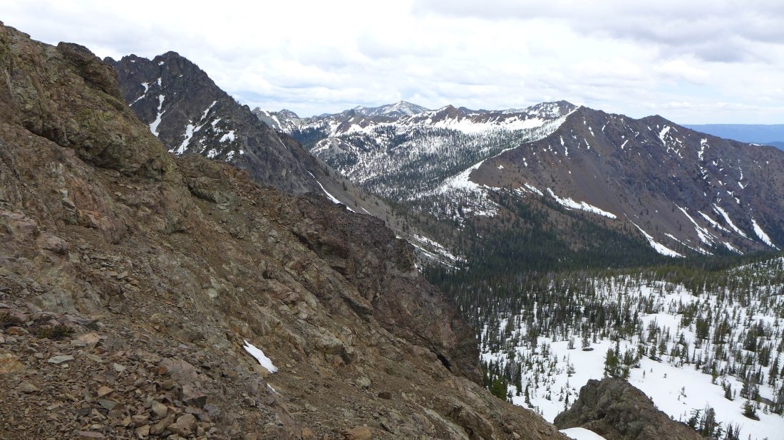
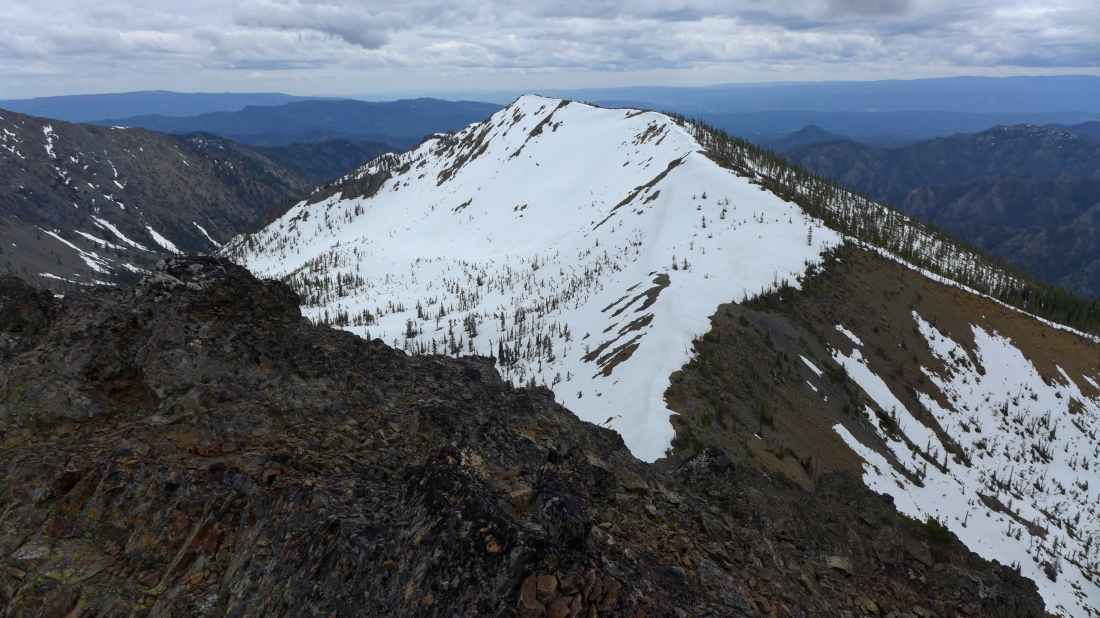
Ascending the south ridge of Teanaway Peak... looking over at Bills Peak in the foreground of the photo... Dragontail Peak on the left horizon... with Navaho Peak on the far right.
|
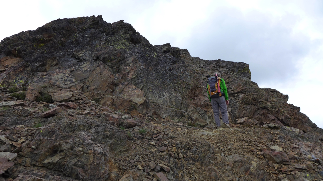
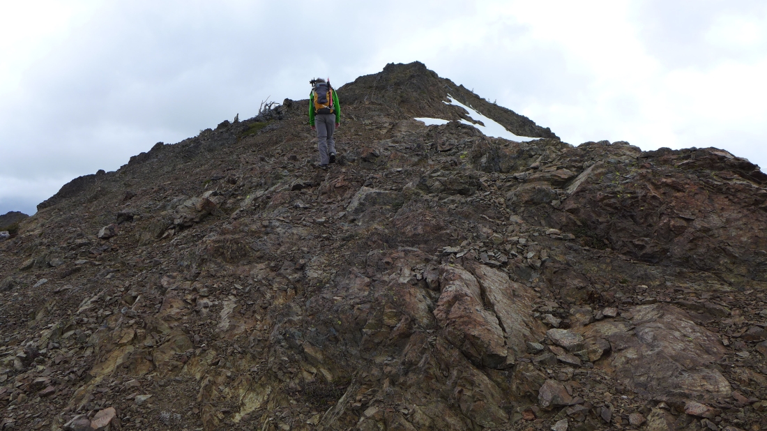
iraman is having fun on the south ridge of Teanaway Peak.
|
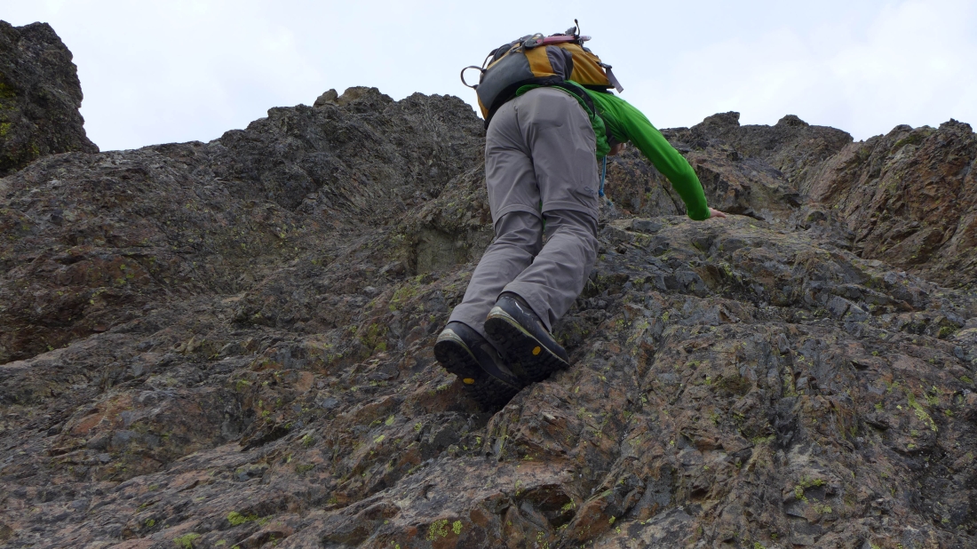
Continuing up the south ridge.
|
Volcanic Neck, Navaho and Bean in the center... with Earl, Marys and Judis on the right.
|
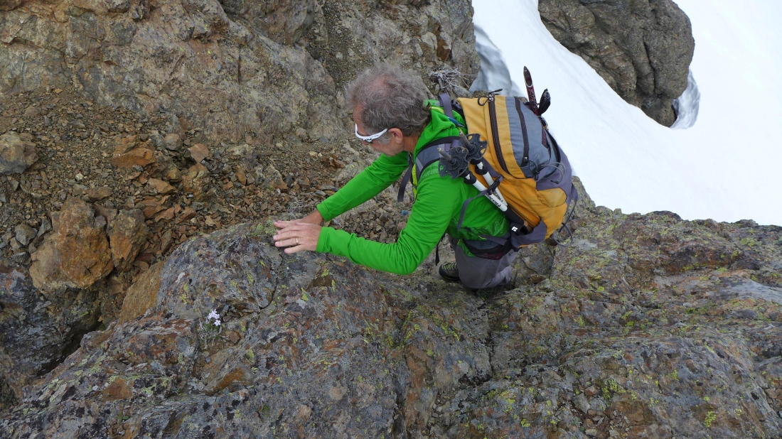
More Class 3 climbing ahead.
|
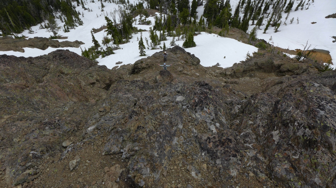
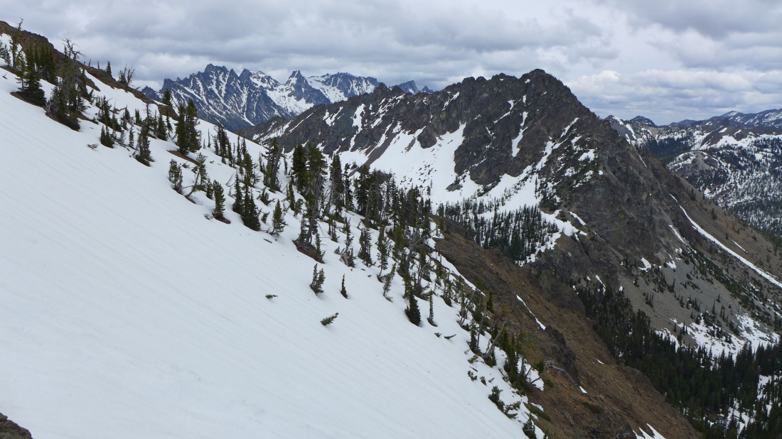
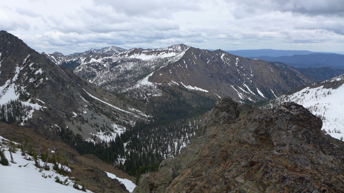
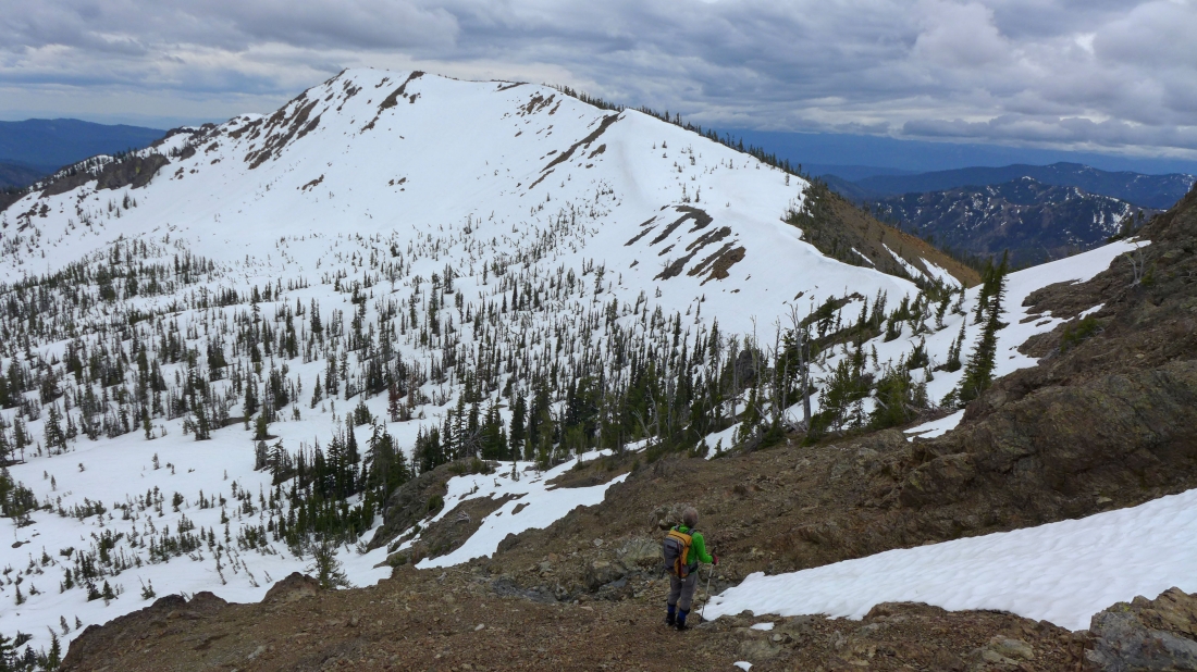
Looking down at the orange-colored saddle at the bottom of the photo... and the .75 mile ridge walk out to the summit of Iron Peak.
|
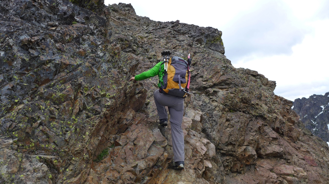
iraman finds the best route.
|
Continuing up the south ridge.
|
Looking across steep terrain to Bills Peak in the foreground... with part of the Stuart Range through the gap.
|
A very short down-climb here.
|
We can see the summit... just need to get past this semi-gnarly section.
|
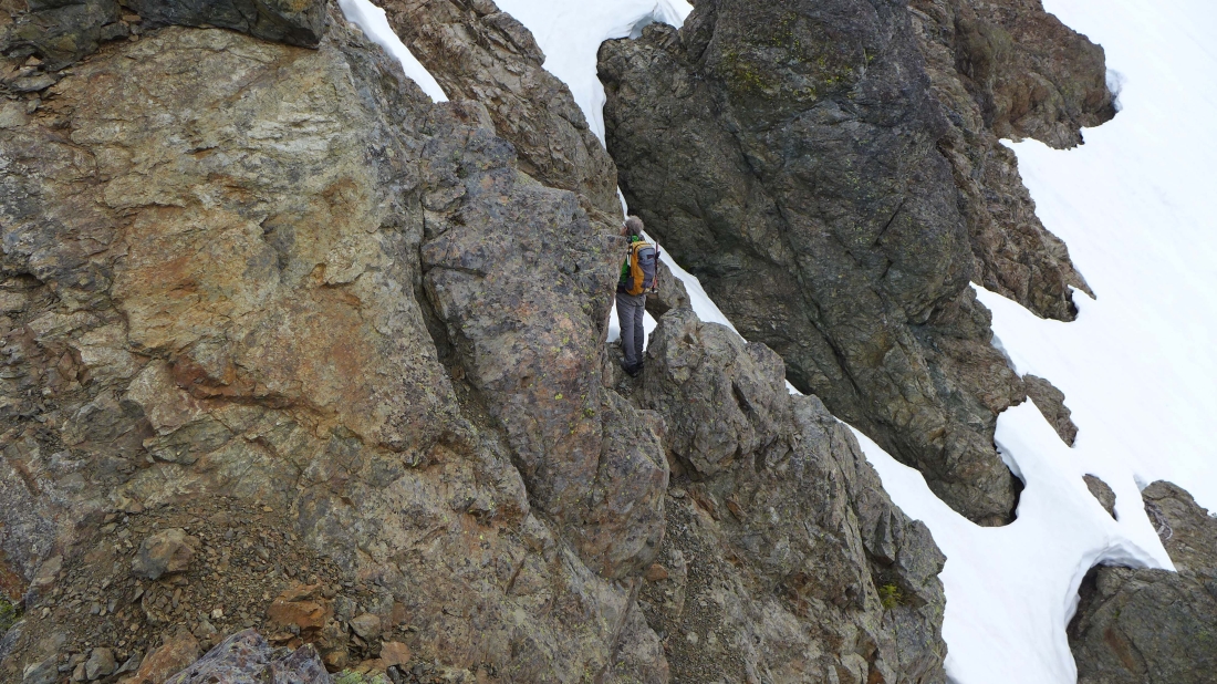
iraman continues his down-climb.
|
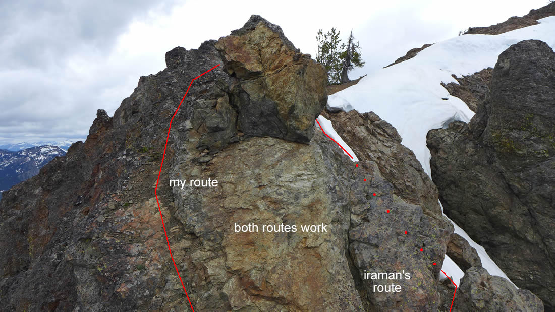
I chose not to do as much of a down-climb as iraman.
|
iraman's route will work just fine.
|
Beyond the last real obstacle now... clear sailing to the summit.
|
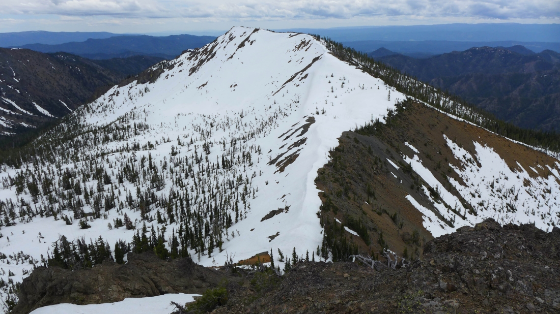
Looking back at Iron Peak... Snowdog, BarbE and Izzy are over there somewhere.
|
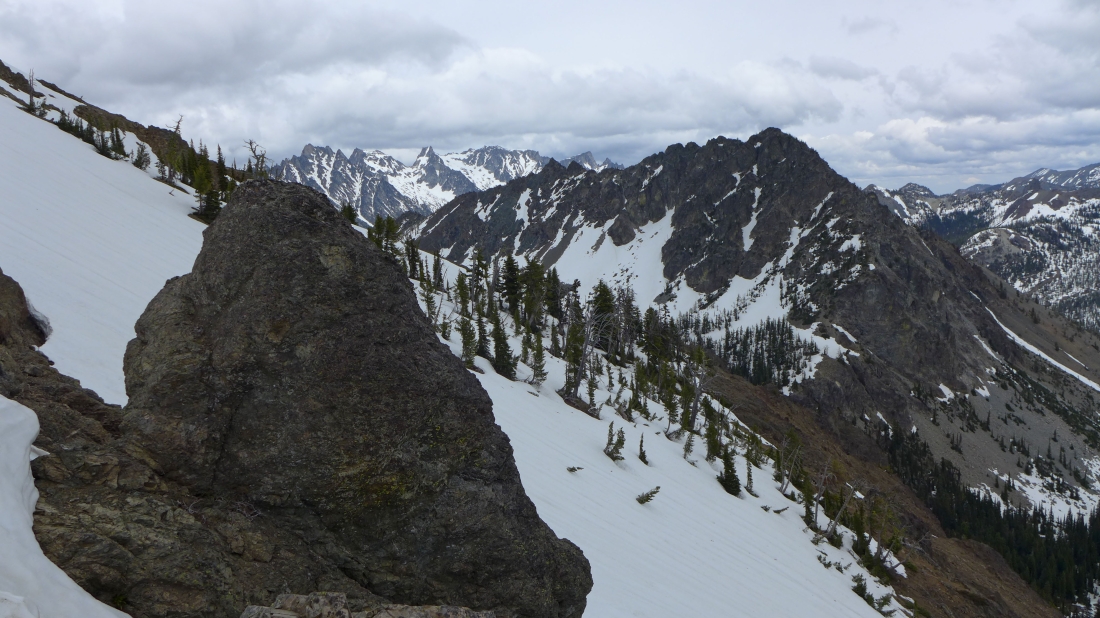
Part of the Stuart Range and Bills Peak as we near the Teanaway Peak summit.
|
Bean, Earl, Marys and Judis in the center of the photo.
|
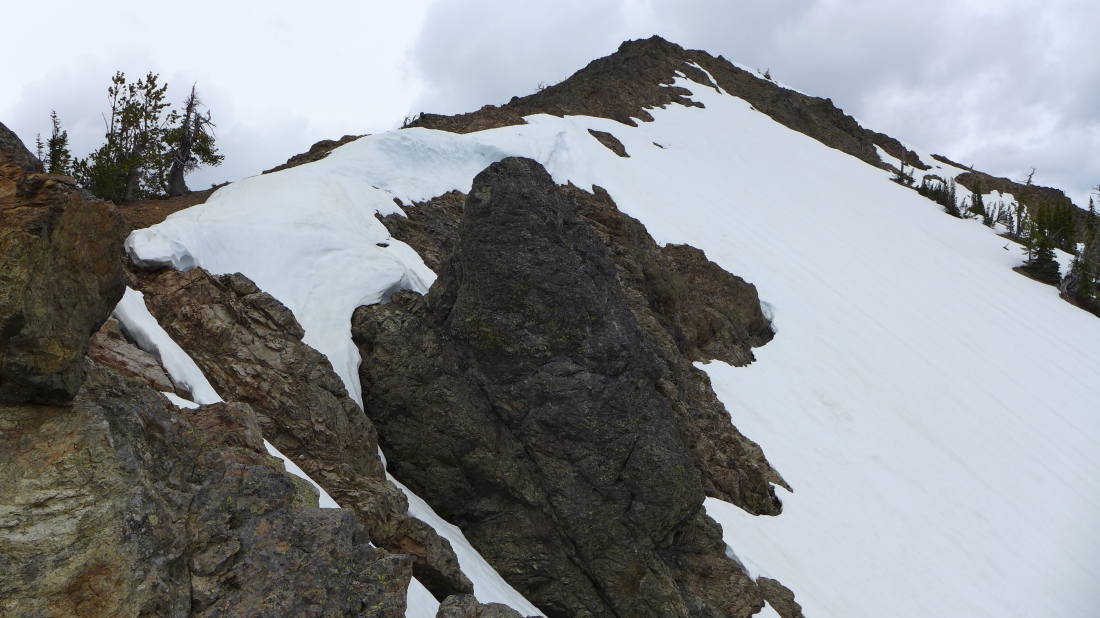
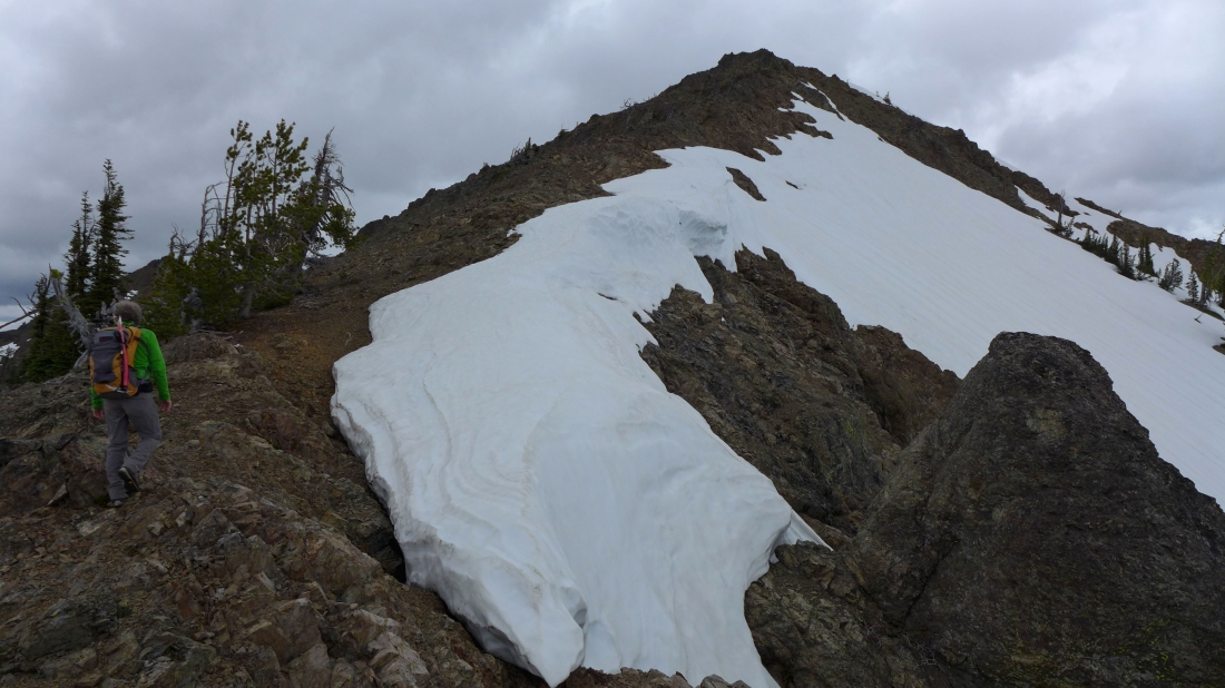
Just a walk-up now.
|
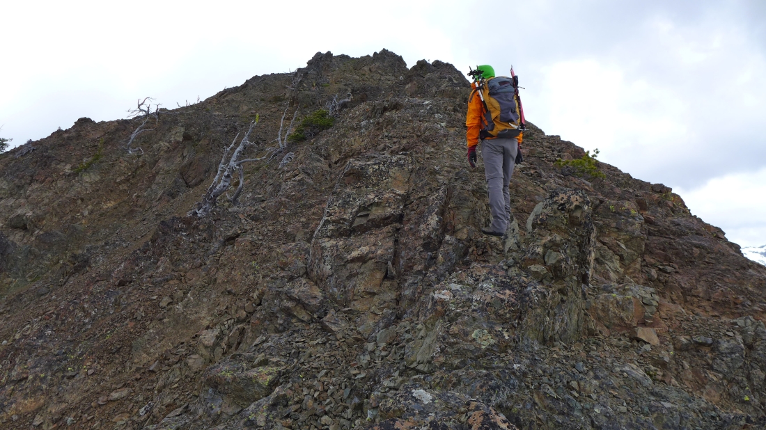
Nearing the summit... we have added a couple of layers to fight off the increasing wind.
|
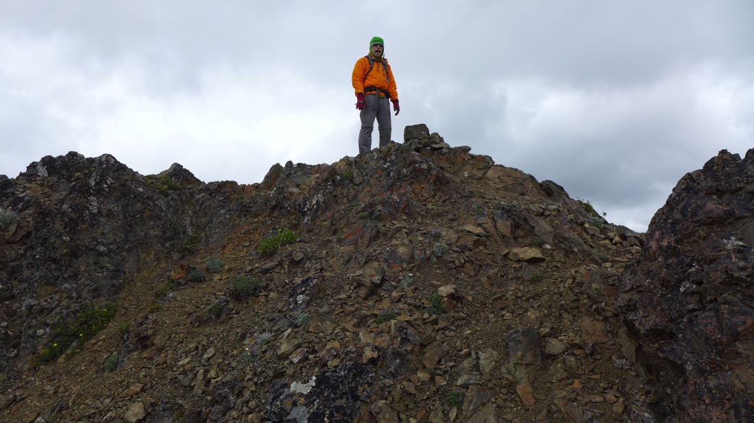
iraman on the Teanaway Peak summit (6779').
|
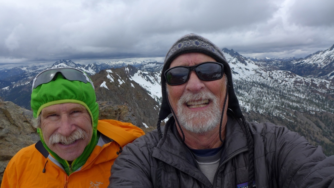
A selfie from the Teanaway Peak summit.
|
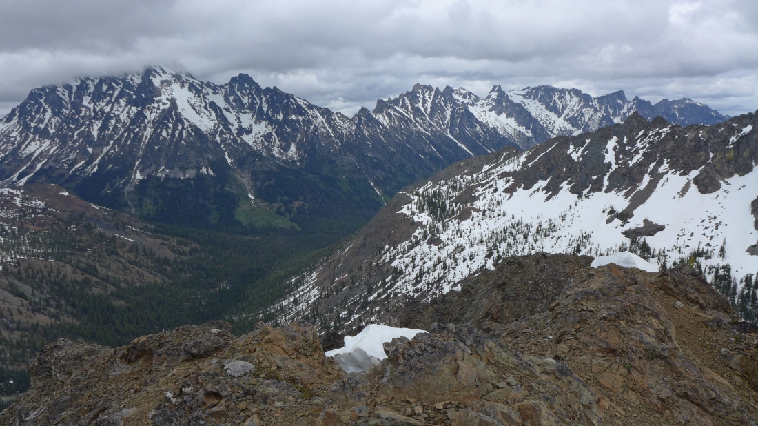
Left-to-right... Stuart, Sherpa, Argonaut, Colchuck, Dragontail, Little Annapurna and McClellan.
|
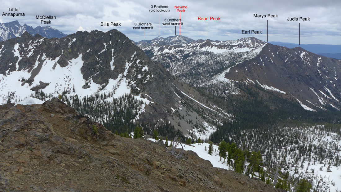
Peak identification looking east from Teanaway Peak.
|
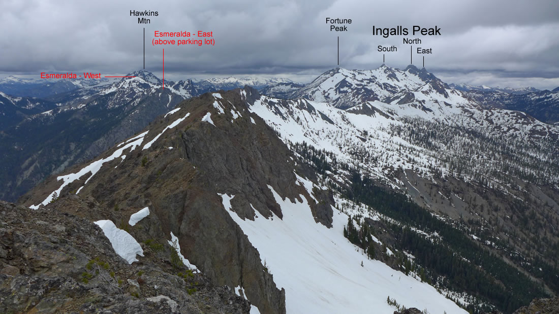
Peak identification looking NW from Teanaway Peak.
|
iraman coming off of the Teanaway Peak summit.
|
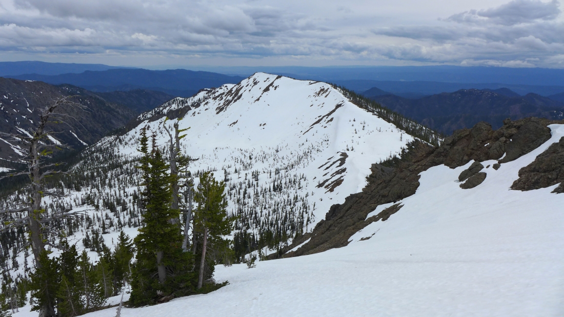
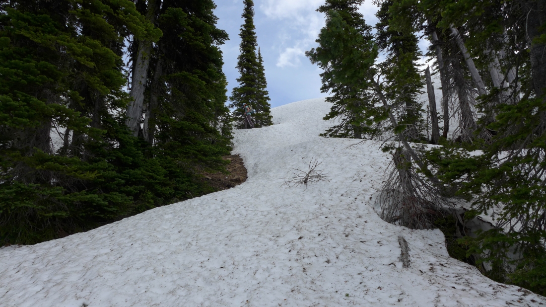
Heading down from Teanaway Peak... taking advantage of the snow... Iron Peak in the distance.
|
iraman descending from the Teanaway Peak summit.
|
We will start working our way east toward Bills Peak and pick up Teanaway's SE ridge... a route we are very familiar with.
|
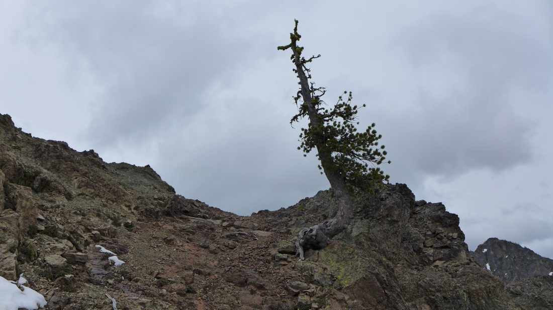
When you find 'the lone tree' you know that you have found the easy way back to the Teanaway/Iron saddle.
|
iraman has found a cairned route that will take us back to the Teanaway/Iron saddle.
|
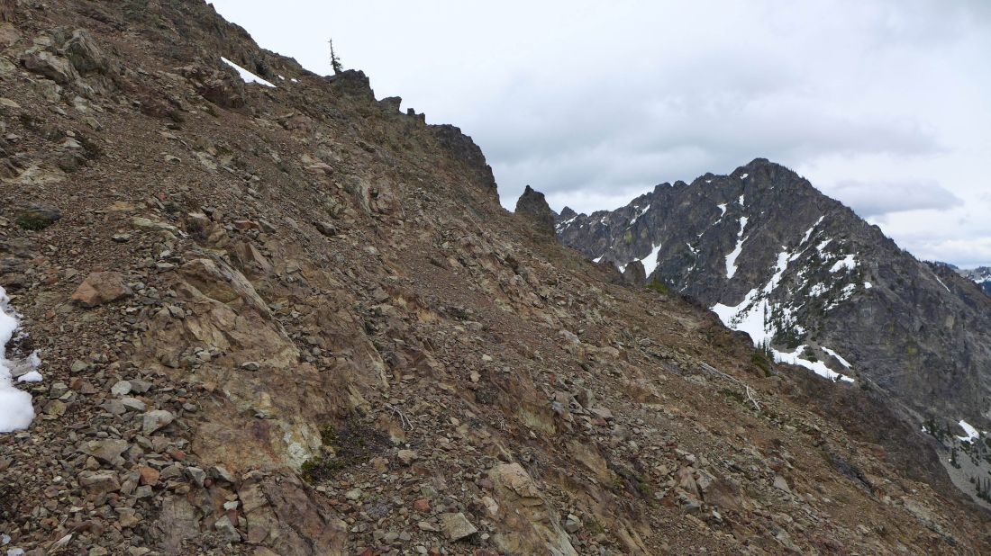
Looking back at 'the lone tree' that marks the entrance and exit points to Teanaway's SE ridge.
|
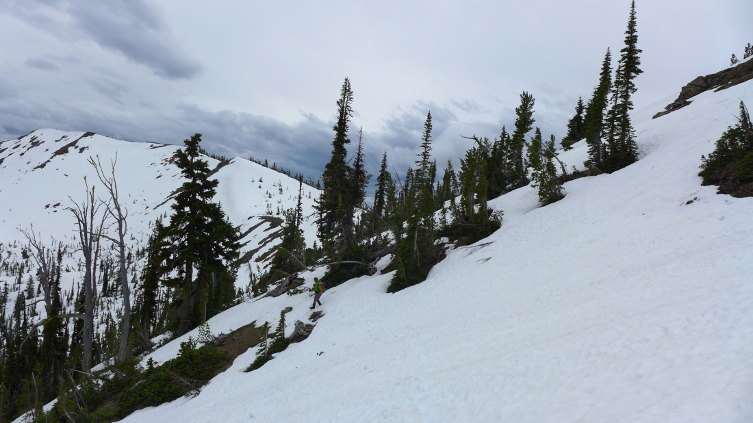
Off of the dirt and rock... and back on the snow that will get us over to the Teanaway/Iron saddle.
|
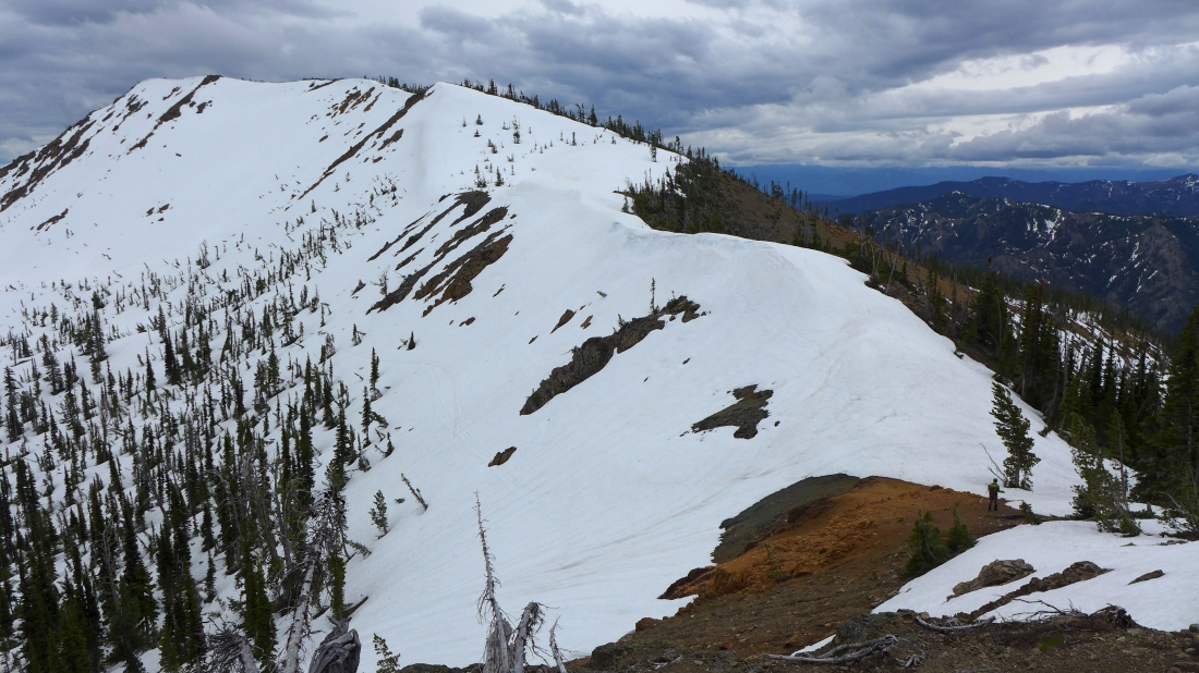
Back at the saddle where we will hook-up with Snowdog, BarbE and Izzy for the 2.5 mile hike back to the car.
|
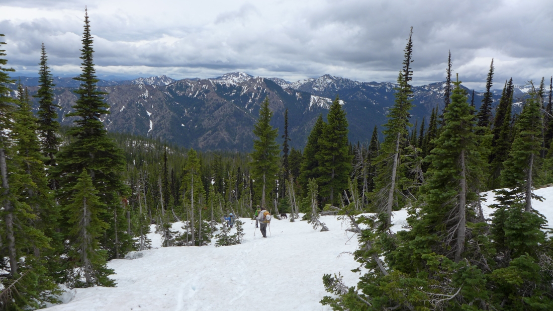
We were able to do some boot-skiing on the way back to the car.
|
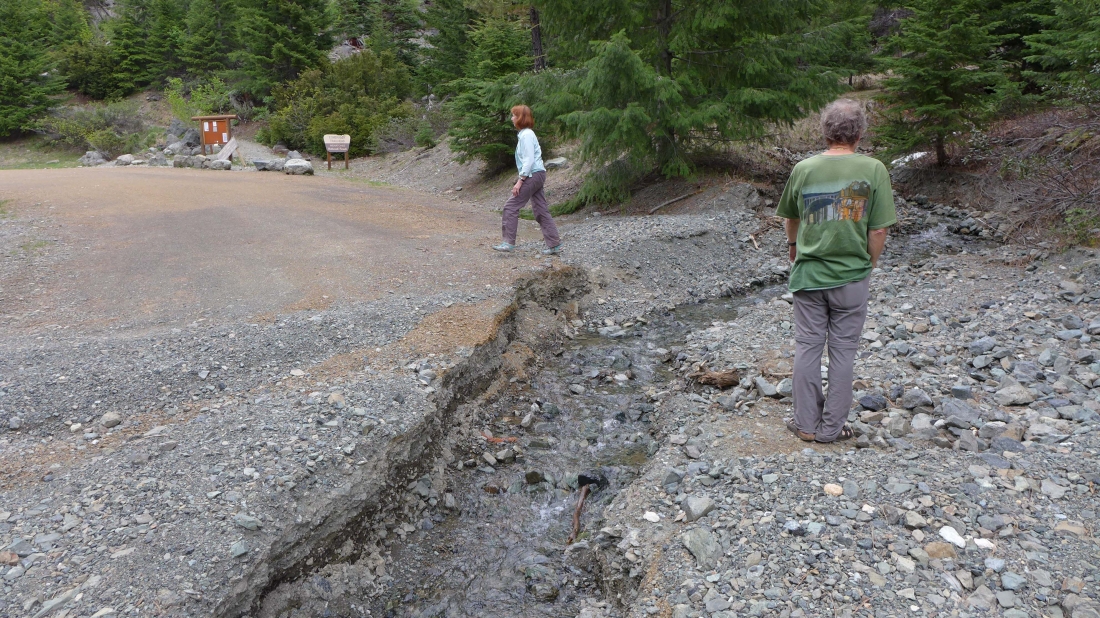
After we got back to the car we continued driving up toward the end of the road to check out some washouts that we had heard about... this one was a half-mile or so from the Esmeralda Basin Trailhead... it is very easy to get around it by going to the right of the sign.
|
Unless you have a monster truck you will not get past this washout... it is only 50 feet from the Esmeralda Basin Trailhead. There is some parking just before we reached the washout... but good luck finding a parking spot on the weekend.
|
