Peak 5520+ (aka Medra Peak) - 6.7.2016
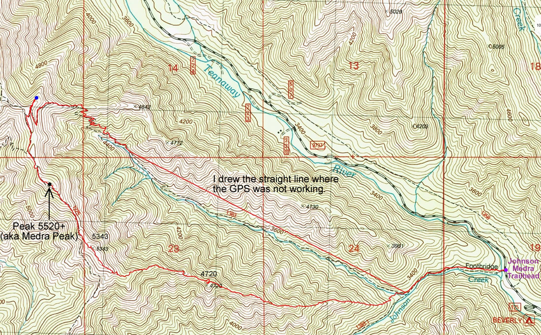
A photo of the GPS track for our loop hike to Peak 5520+... the high point in the Medra Creek watershed... so I decided to call the high point Medra Peak... 7.6 miles roundtrip, gaining 3127 feet of elevation.
|
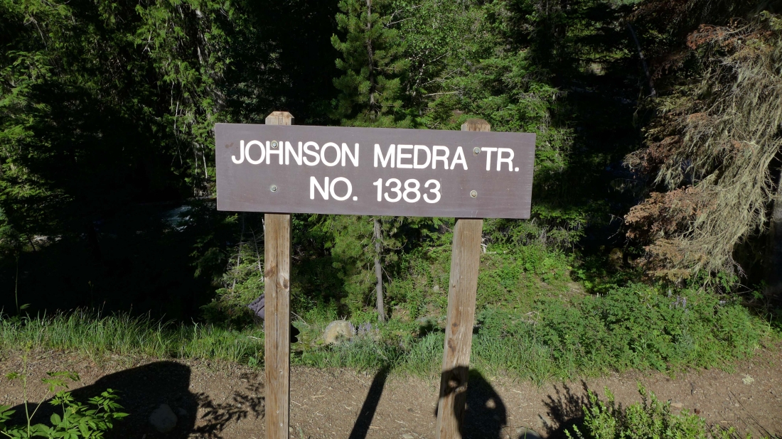
We started at the Johnson Medra Trailhead... a quarter-mile drive beyond Beverly Campground on the N. Fork Teanaway River Road.
|
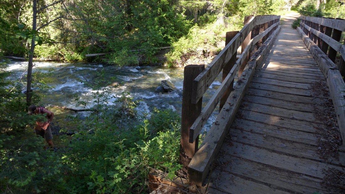
After hiking a few steps you will cross the N. Fork Teanaway River.
|
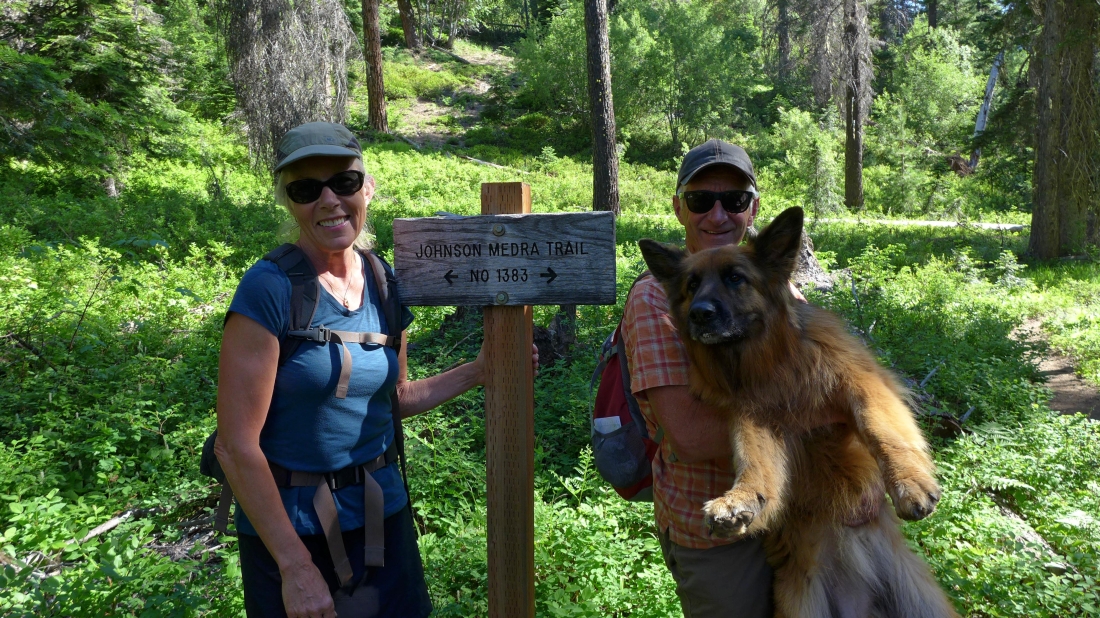
After hiking two-thirds of a mile we reached a junction with Trail 1383.1... but we will stay on Trail 1383.
|
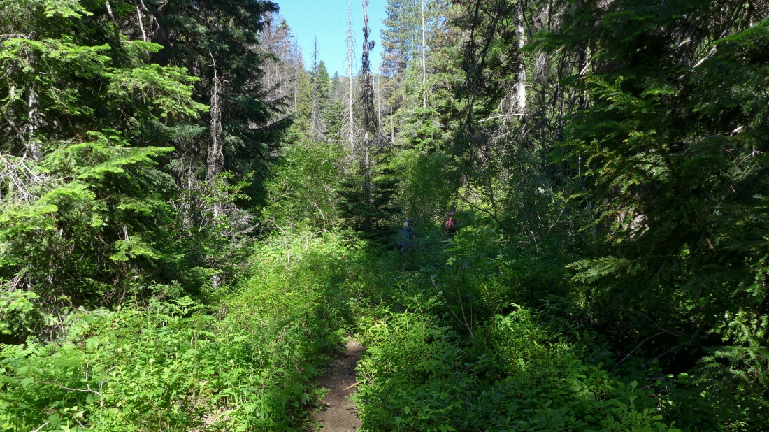
The Johnson Medra Trail is overgrown in places... but still very easy to follow.
|
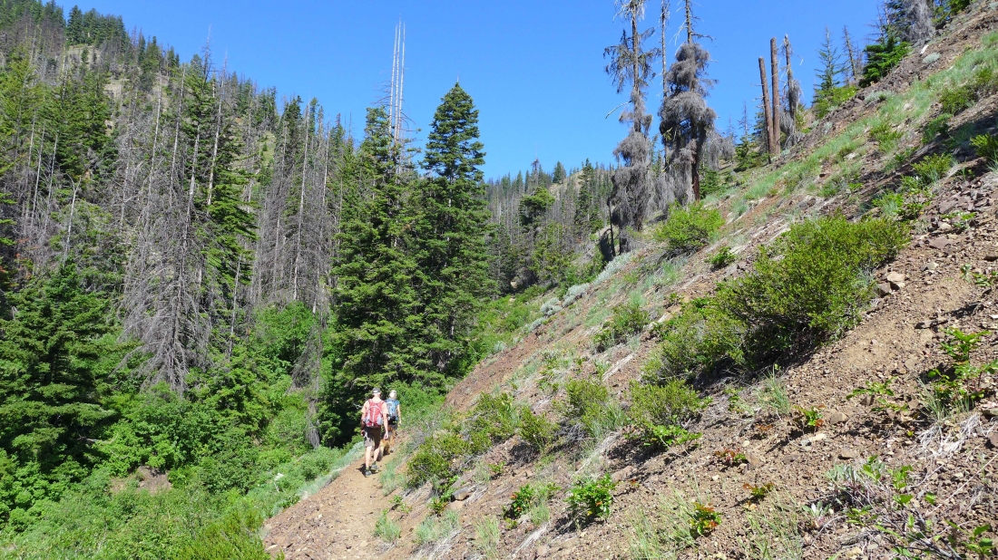
At ~4000 feet the terrain opens up some.
|
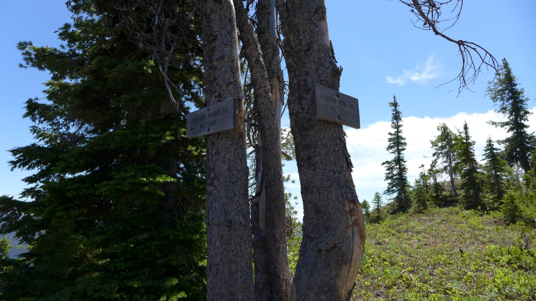
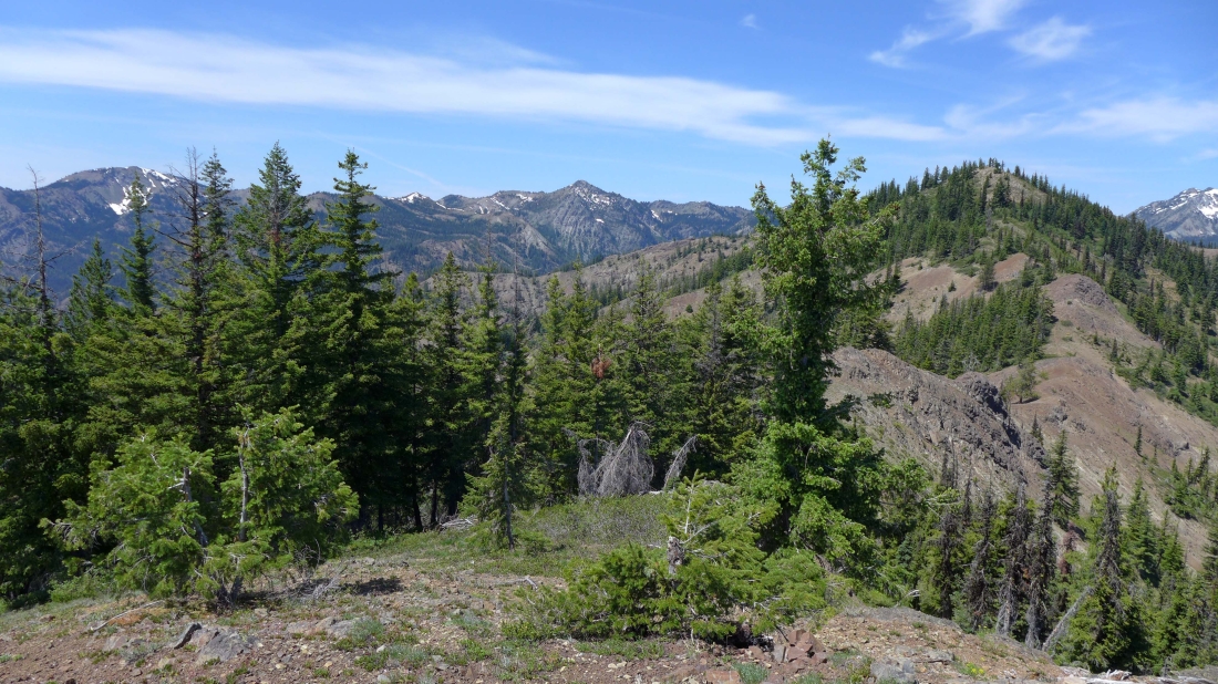
At 5400 feet we reached a junction with Koppen Mountain Trail #1225. We will head south on #1225... and follow it for a quarter-mile to reach our destination of Peak 5520+.
|
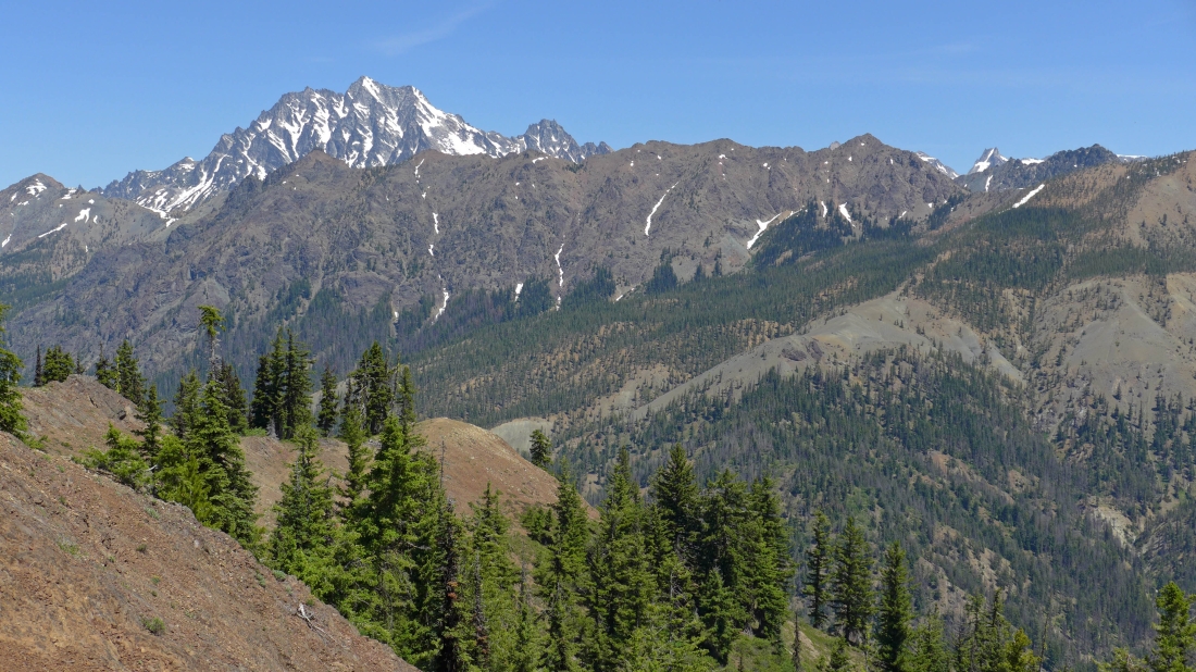
Mt. Stuart and Sherpa Peak are beyond the ridge that connects Teanaway Peak and Longs Pass.
|
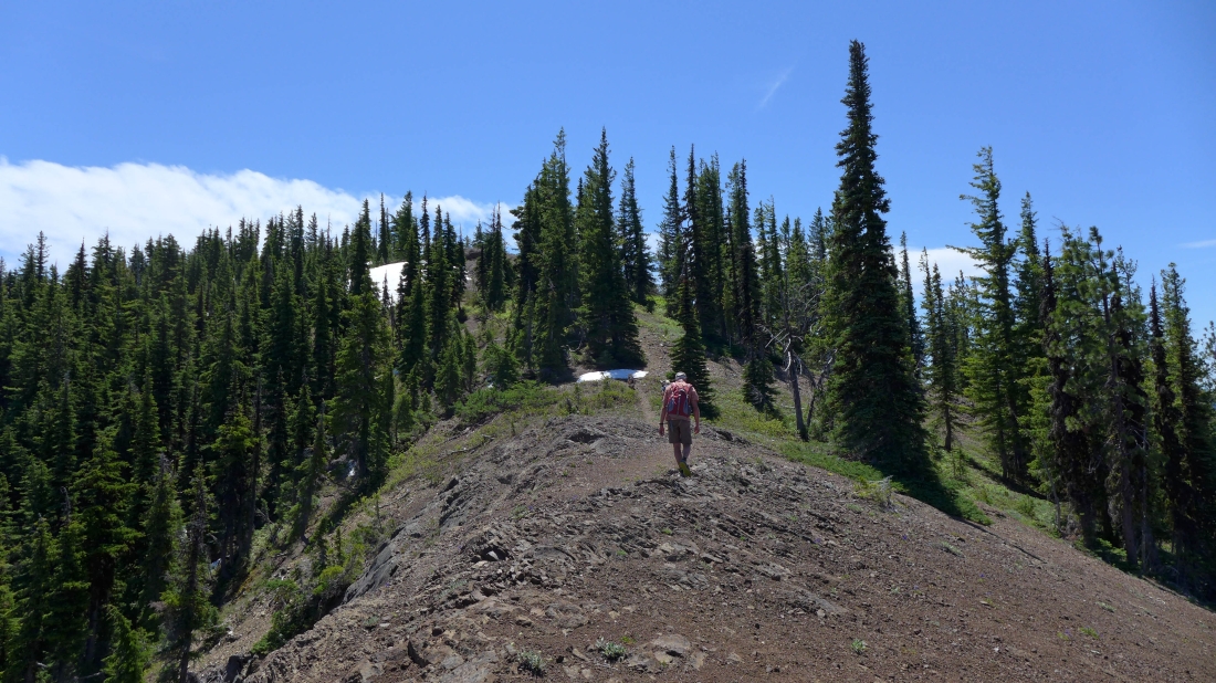
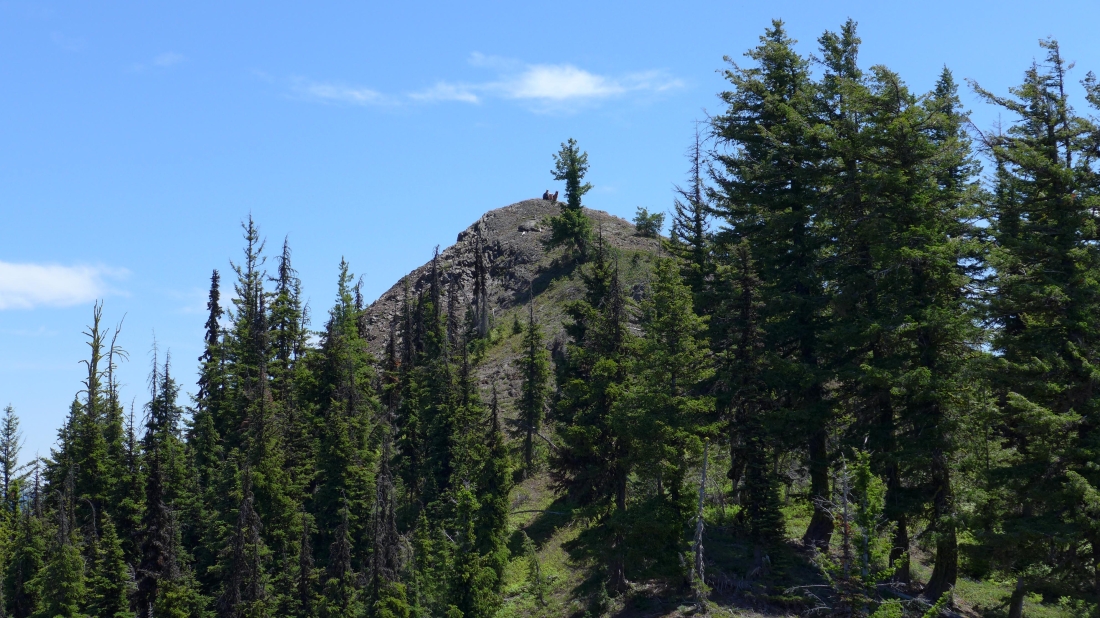
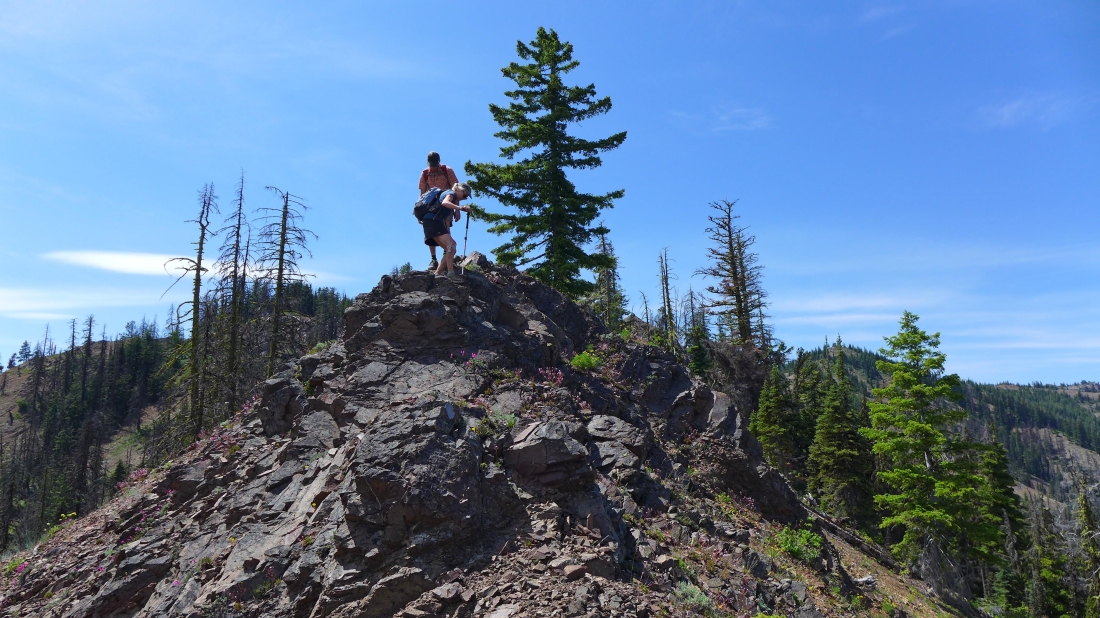
madman heads south on Koppen Mountain Trail... with Peak 5520+ (aka Medra Peak) right in front of him.
|
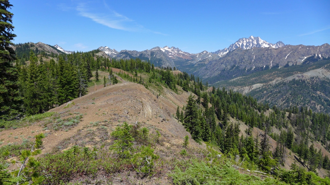
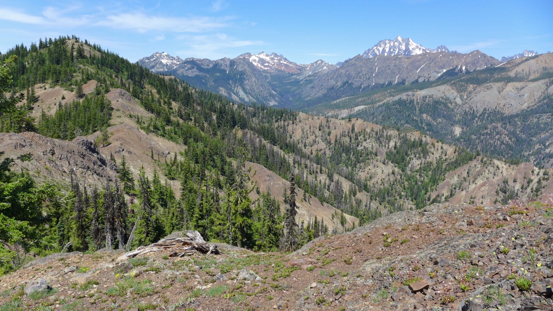
Looking north as we near Peak 5520+... Koppen Mountain is in the left foreground with Hawkins Thimble behind it... Esmeralda Peaks, Fortune Peak and Ingalls Peak in the center of the photo... Mt. Stuart and Sherpa Peak on the right.
|
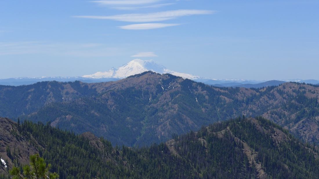
Looking south across Yellow Hill to Mt. Rainier... the lenticular cloud forming over Rainier signals that the weather is going to be changing.
|
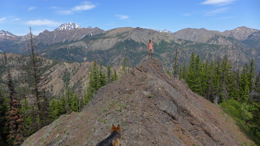
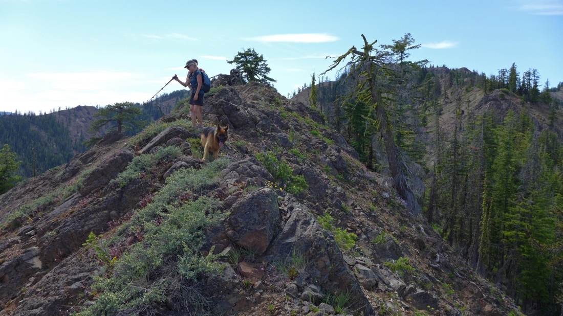
Sahale has crossed over Peak 5520+ and is continuing south on the Koppen Mountain Trail... with Point 5343 in the foreground... Johnson Mountain is in the distance beyond Point 5343.
|
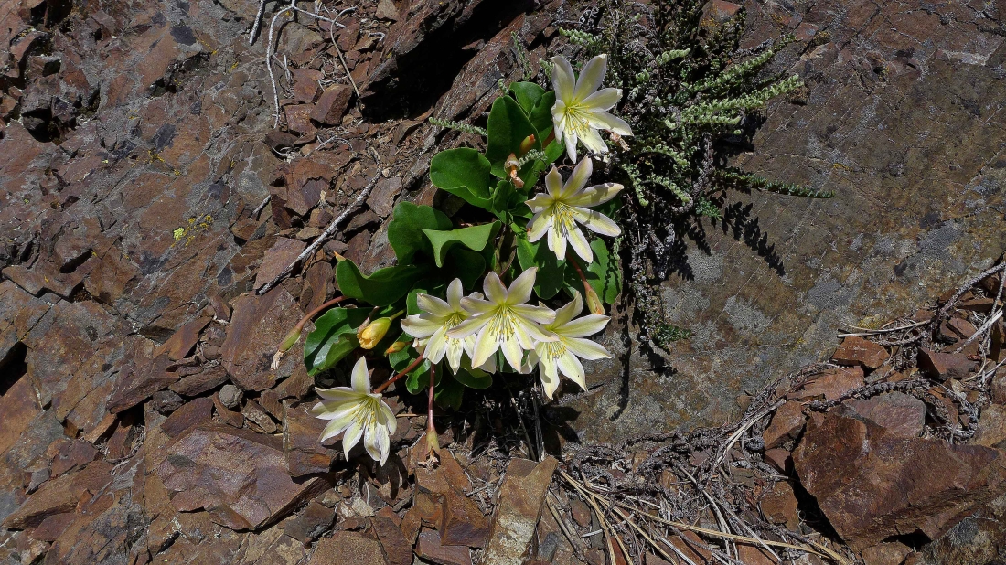
Tweedy's Lewisia... I rarely see this one.
|
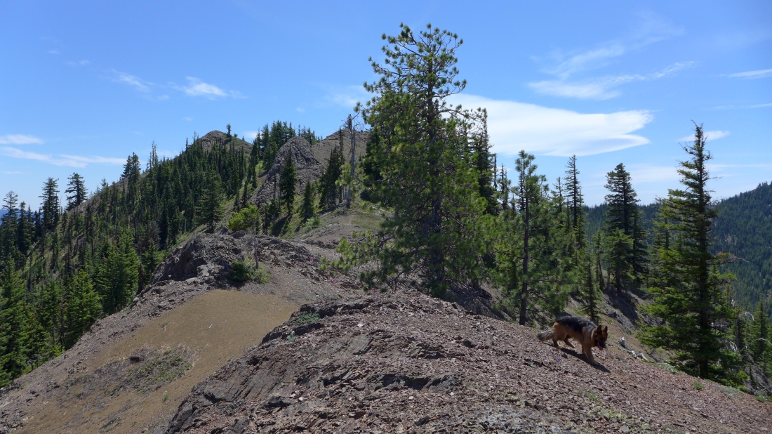
Off trail now... we will stay on the ridge and head for Point 5343 on the left... Luna is on the prowl.
|
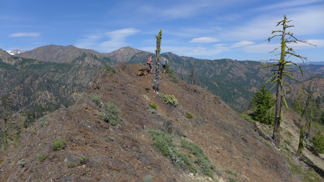
Sahale and Luna on top of Point 5343.
|
Looking west from Point 5343 to Elbow Peak (far left) and Jolly Mountain.
|
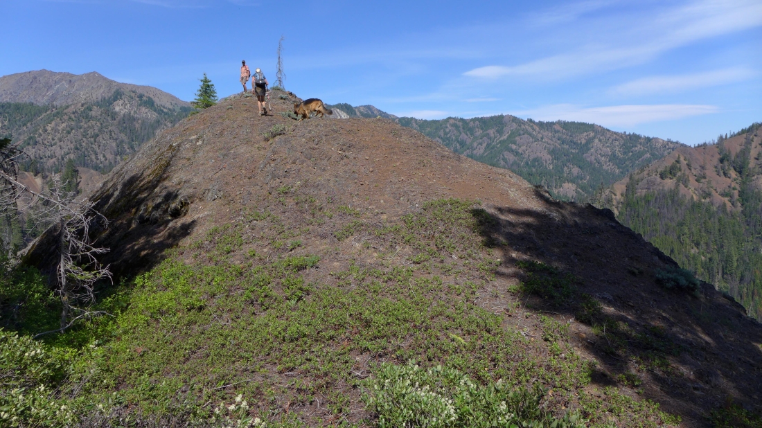
On top of Point 5343... looking north to Peak 5520+ in the left foreground.
|
Jolly Mountain on the far left... The Louvre in the center of the photo... with Peak 5520+ in the right foreground.
|
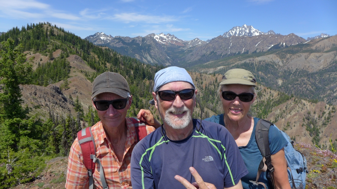
Using my selfie stick on Point 5343... madman, ragman and Sahale.
|
On the south side of Point 5343 now... and following the ridge east toward Point 4720... lots and lots of rock outcroppings to deal with on the ridge... Marys Peak, Judis Peak and Earl Peak in the distance on the right.
|
Generally speaking it is easier to stay on the ridge and go over the rock outcroppings.
|
Working our way down the ridge from Point 4720... ups and downs a plenty on this ridge.
|
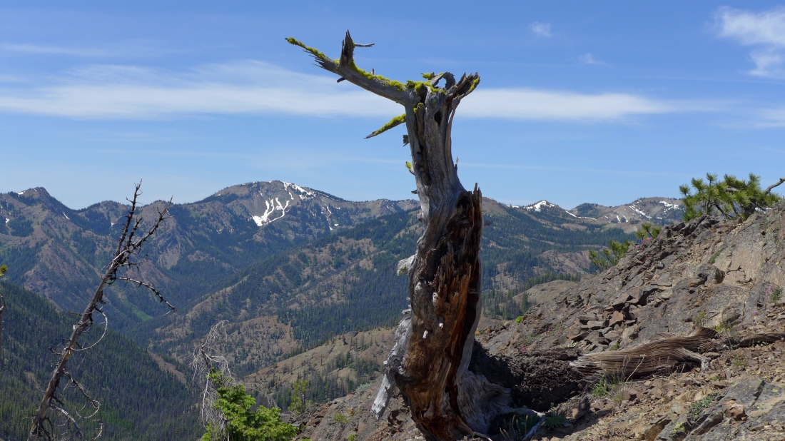
How many more of these rock outcroppings are we going to have to deal with?... Marys Peak, Judis Peak and Earl Peak in the distance on the left... with Dragontail Peak through the gap on the far left.
|
Finally... the last rock outcropping.
|
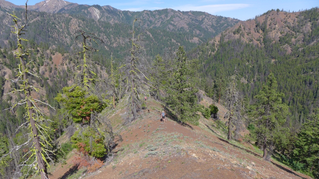
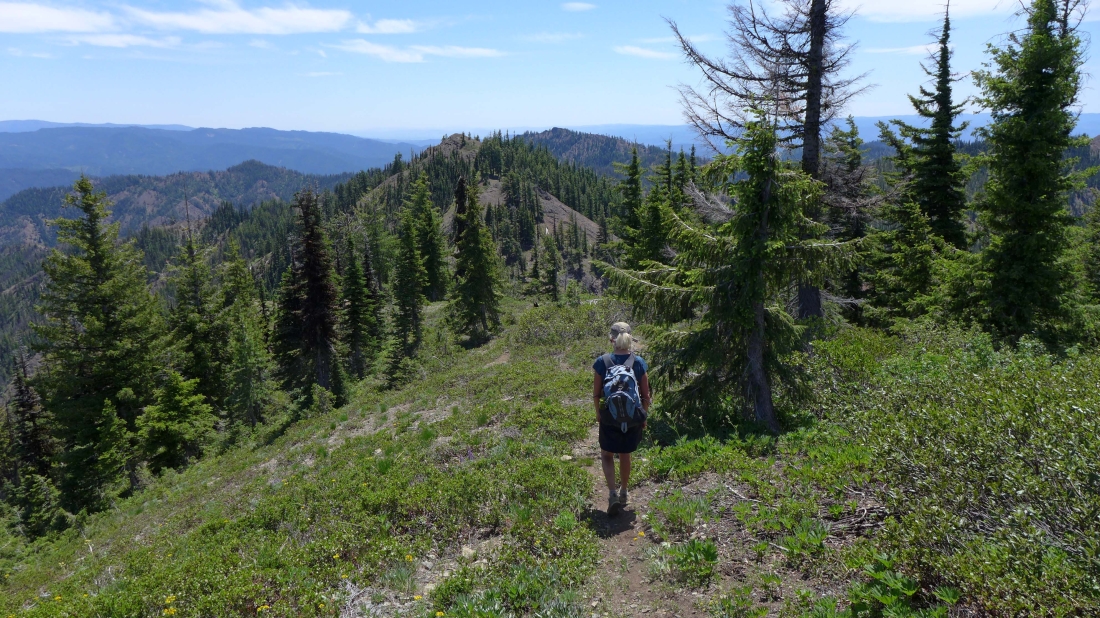
Smooth sailing now as we head for the spot where Trails 1383.1 and 1383 join one another... closing the loop portion of our hike... leaving two-thirds of a mile to get back to the car.
|
