Peak 6658, Devils Head and Navaho Peak - 6.21.2016
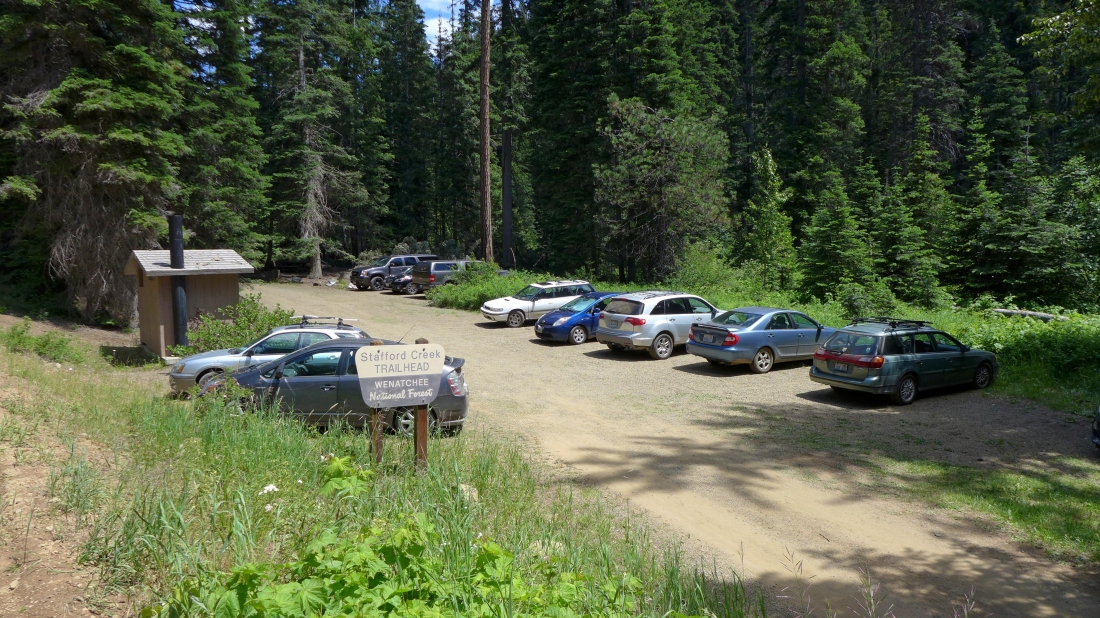
We started (~3000') our trip from the Stafford Creek Trailhead... the 3 day/2 night backpack trip was a total of 21.6 miles... gaining 6315 feet of elevation.
|

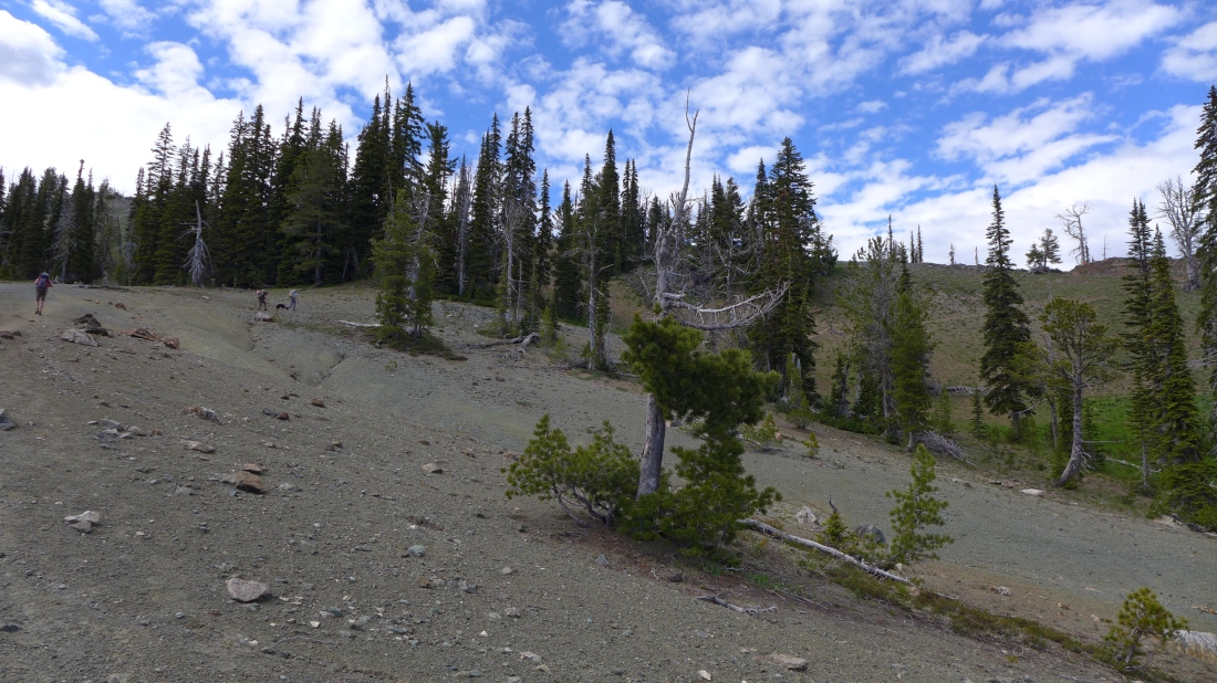
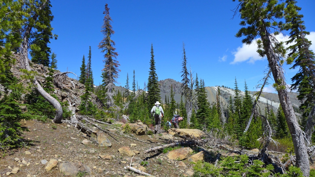
After hiking the Stafford Creek Trail for ~4 miles we reached a junction with the Standup Creek Trail... we will stay on the Stafford Creek Trail and hike to the junction with the County Line Trail... then take the County Line Trail a very short distance to Navaho Pass.
|

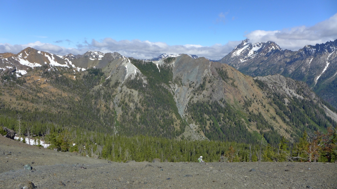
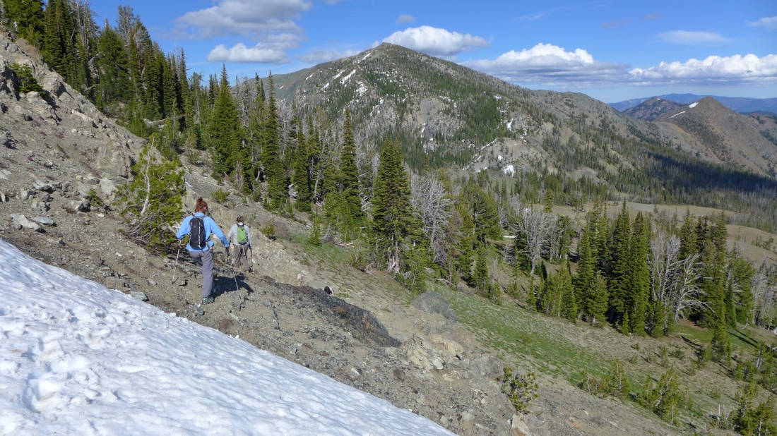
Beyond Stafford Meadow now... nearing the junction with the unsigned County Line Trail... tomorrow we will tag Peak 6658 (center of photo) on our way to Devils Head.
|
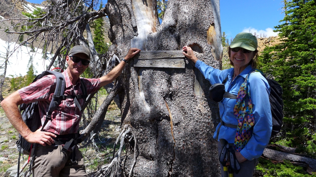
We have reached the junction with the County Line Trail and will follow it over to Navaho Pass on the right.
|
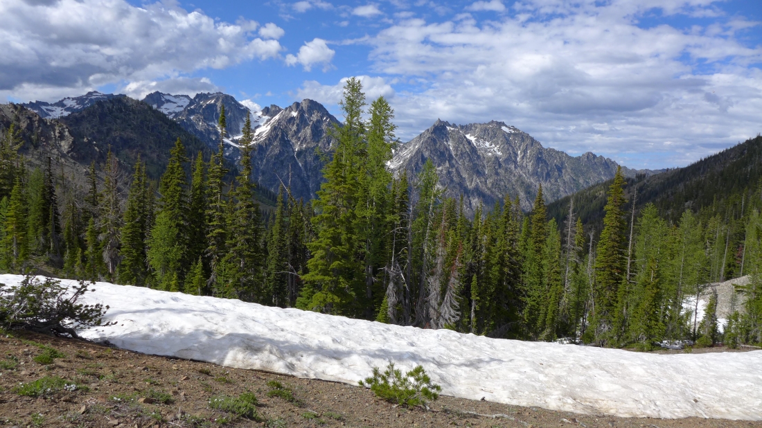
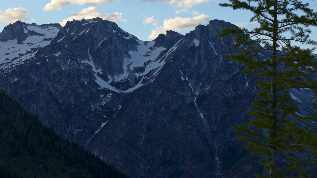
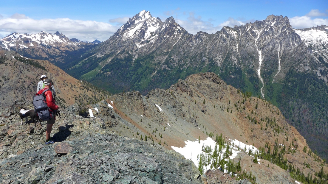
We have reached Navaho Pass (~6000') after hiking ~6 miles... part of the Stuart Range in the distance... left to right... Colchuck Peak, Dragontail Peak, Little Annapurna and McClellan Peak.
|
We have set up our base camp at ~6200 feet... less than a quarter-mile east of Navaho Pass... Peak 6658 on the right... with Earl Peak on the far left.
|
Dragontail Peak and Little Annapurna from our base camp.
|
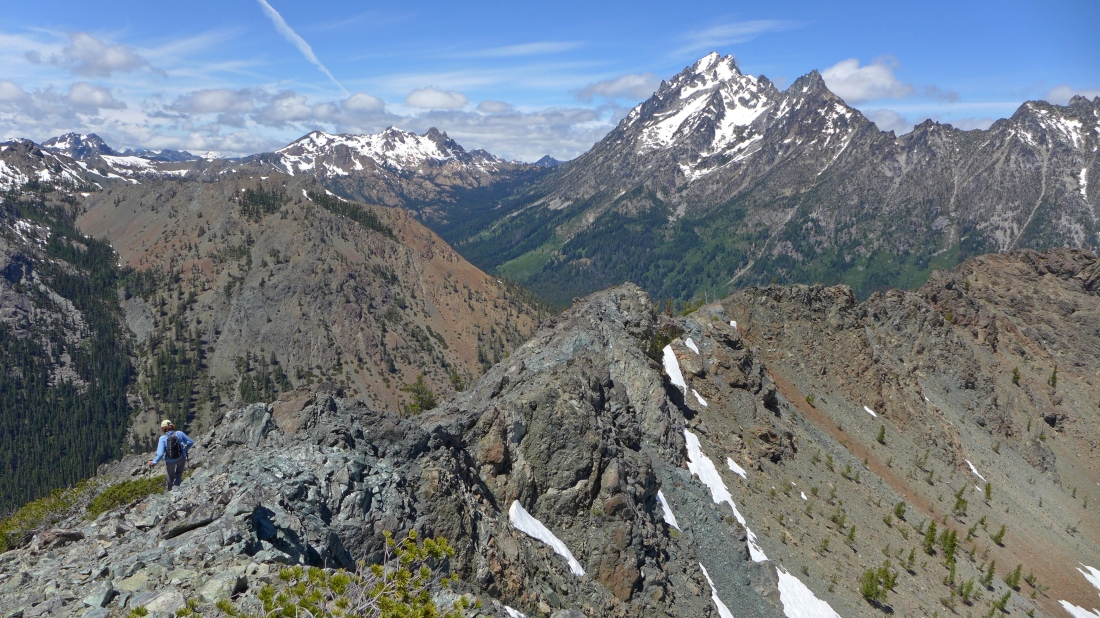
From our camp we are looking at Peak 6658 on the far left... with the tippy top of Mt. Stuart in the center of the photo... and Argonaut Peak on the right.
|
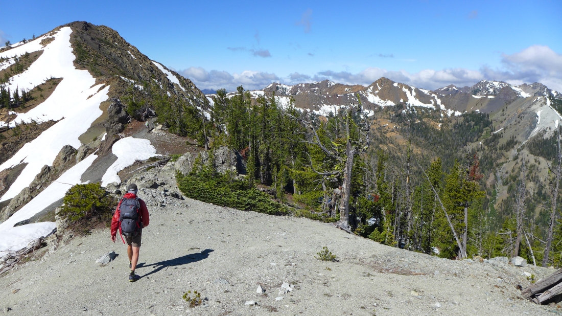
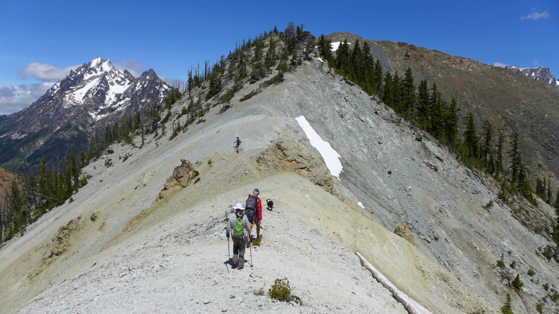
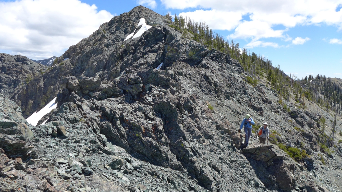
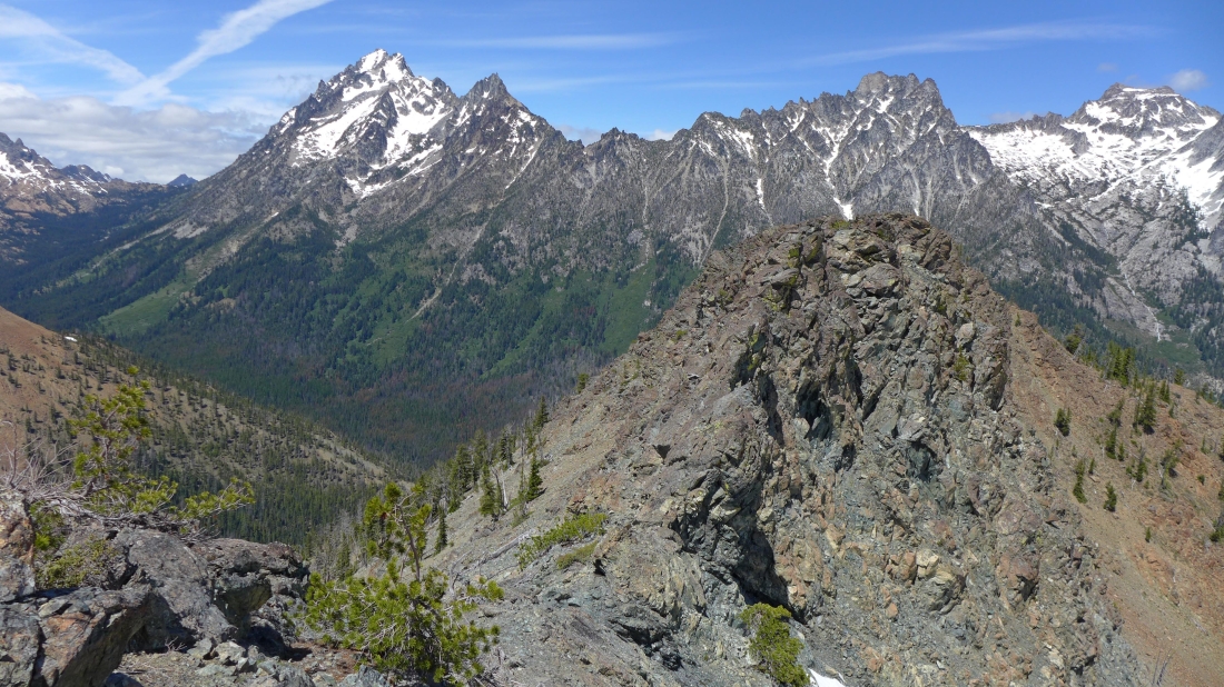
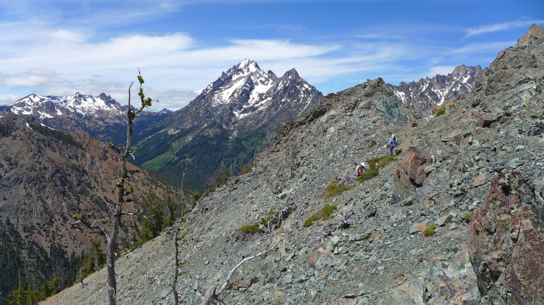
Day 2 will be a day hike... returning to base camp before dinner... wel will follow the ridge from base camp to Peak 6658 in the center of the photo.
|
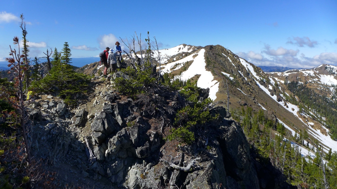
On the summit of Peak 6658... with Earl Peak in the center of the photo... Judis Peak on the far right.
|
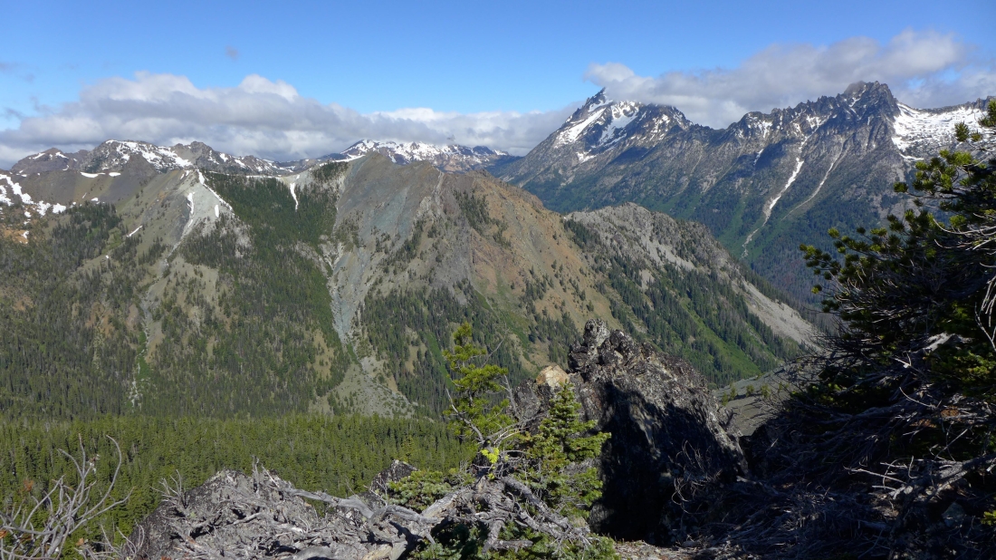
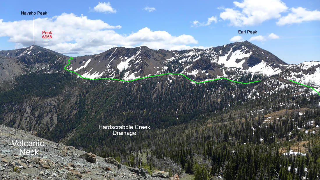
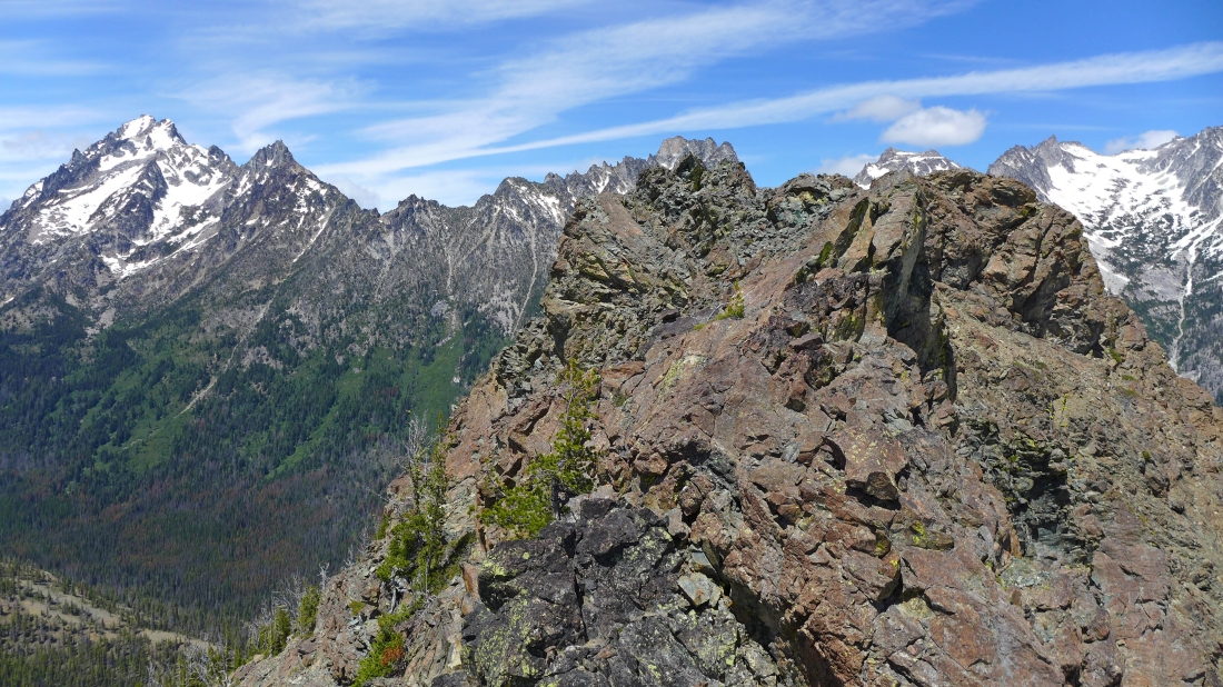
From the summit of Peak 6658 we are looking at Devils Head in the center of the photo... with Teanaway Peak, Bills Peak and Volcanic Neck on the left... Fortune and Ingalls are in the clouds behind Devils Head... with Stuart, Sherpa and Argonaut on the right.
|
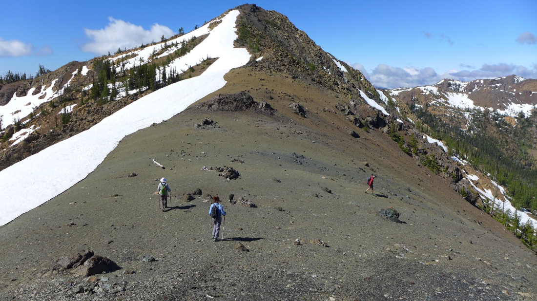
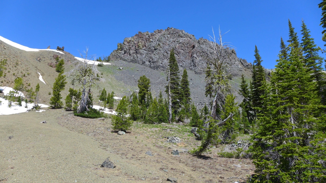
Heading SW from Peak 6658 toward the saddle that separates the Stafford Creek and Hardscrabble Creek drainages.
|
We have reached the Stafford/Hardscrabble saddle... where we picked up the County Line Trail... madman is following the trail down toward the Hardscrabble Creek drainage... with Judis Peak and Marys Peak on the far right.
|
Looking west and NW from the Stafford/Hardscrabble saddle... Devils Head in the center of the photo.
|

Bean Peak on the left and Volcanic Neck on the right... as we hike the County Line Trail which pretty much stays between 5800 and 6000 feet as it stays high above Hardscrabble Creek.
|
On the County Line Trail... hiking toward Volcanic Neck in the center of the photo... note the cairn just to the left of Snowdog... there are lots of cairns on this section of the trail where the path is very faint in places.
|
We have reached the junction with the Hardscrabble Creek Trail which goes down to Ingalls Creek... but we will stay on the County Line Trail.
|
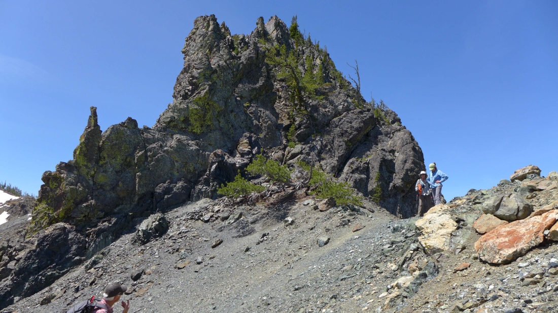
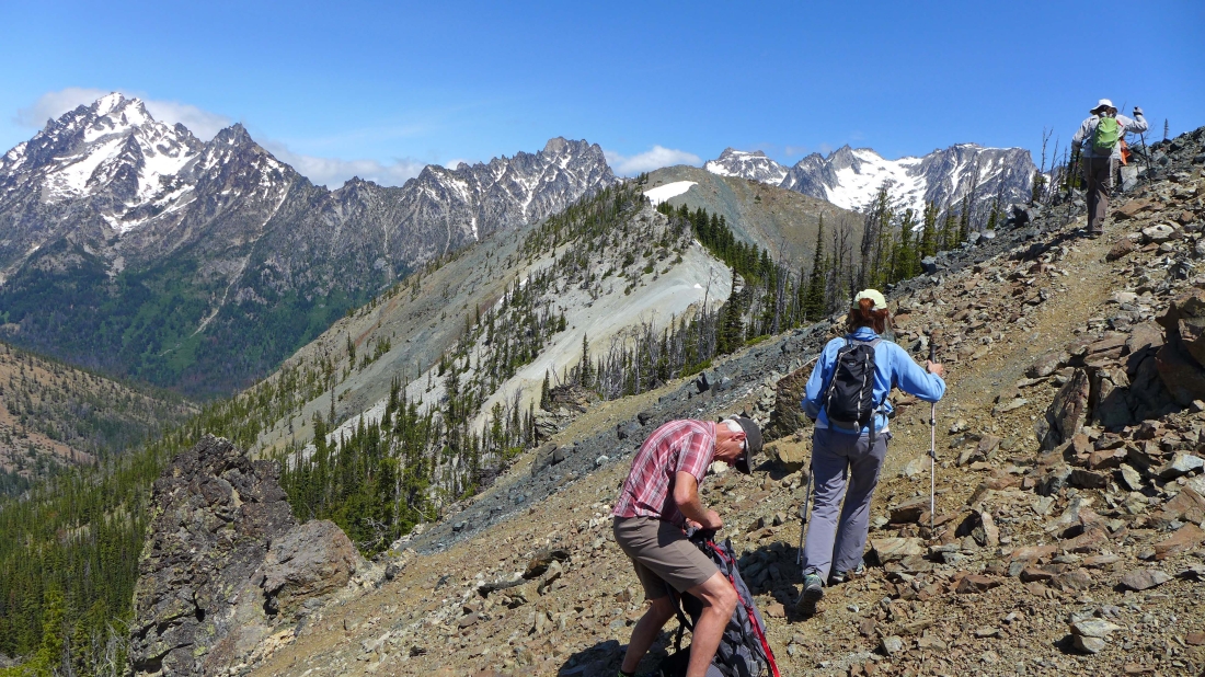
Nearing the south side of Volcanic Neck on the County Line Trail... the trail continues up toward those two small spires on the left side of the photo.
|

Off of the County Line Trail now... following a good path below the steep cliffs on the south side of Volcanic Neck... working our way over to the east side of the Neck.
|
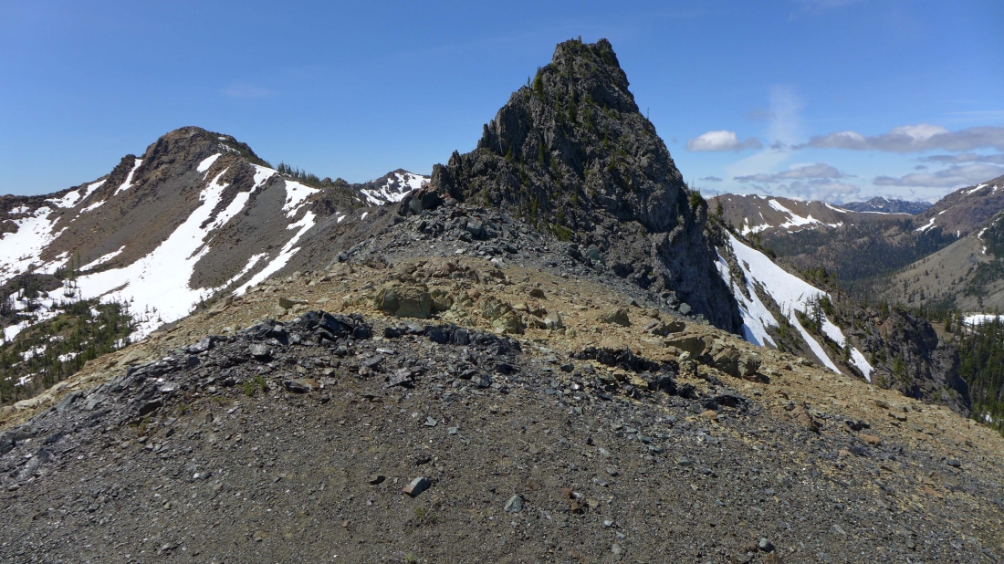
On the east side of Volcanic Neck now... for those who are interested, the gully that begins the adventure of reaching the summit is in the center of the photo.
|
From the east side of Volcanic Neck we are looking at the approximate route we used earlier in the day.
|
Still on a pretty good path... heading for Devils Head in the center of the photo... Stuart, Sherpa, Argonaut, Colchuck and Dragontail on the horizon.
|
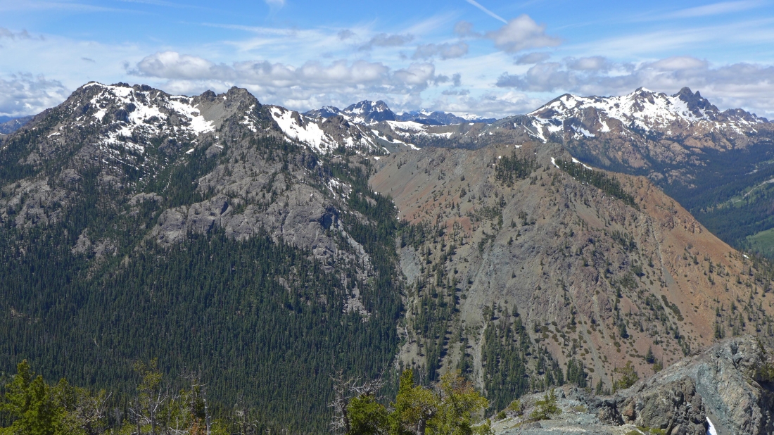
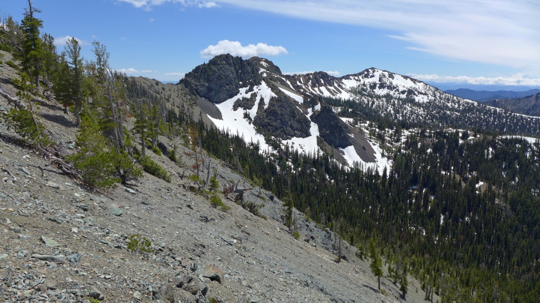
Looking back at Bean Peak (left) and Volcanic Neck as we head for Devils Head... the long ridge walk to Iron Peak is in the distance on the right.
|
Working our way to Devils Head on the far left... with Dragontail, Little Annapurna and McClellan on the horizon.
|
Are we on the moon?... heading straight for Devils Head... with Stuart and Sherpa on the left... and the Dragontail Plateau on the far right.
|
Heading for Devils Head.
|
Getting closer to Devils Head.
|
Nearing Devils Head... let's go surfin' now... everybody's learning how... come on and safari with me!
|

On the Devils Head summit... looking back at the ridge we used to get from Volcanic Neck to our summit... Earl Peak on the left... Marys Peak on the far right.
|
madman looks at the gnarly ridge we will try to follow out to Point 6417 in the center of the photo... Stuart, Sherpa and Argonaut are behind Point 6417... Fortune and Ingalls on the far left.
|
Bills Peak in the left foreground... Fortune and Ingalls in the distance on the right... Esmeralda and Hawkins in the center.
|
BarbE leads the way out along the ridge that runs from the Devils Head summit to Point 6417.
|
BarbE and Snowdog on the gnarly ridge leading from Devils Head to Point 6417... Devils Head is in the center of the photo.
|
Did I mention that the ridge was gnarly?
|
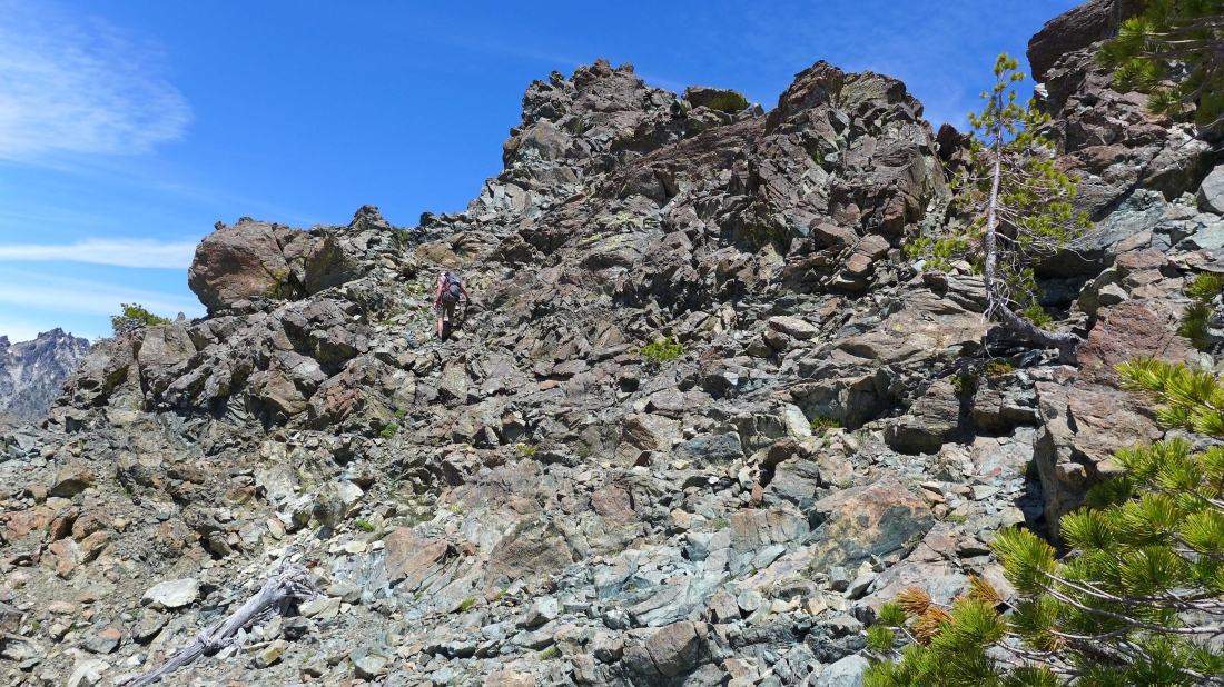
madman having fun on the ridge leading from Devils Head to Point 6417.
|
This is as far as we got along the ridge... still a lot of work to do in reaching the summit of Point 6417.
|
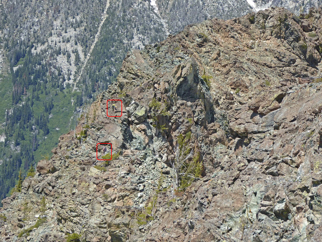
Snowdog and BarbE had stopped further back on the ridge... and Snowdog used her 20x zoom lens to zero in on madman and me just as we decided to give up on our attempt to reach the summit of Point 6417.
|
Heading back along the gnarly ridge... working our way back to Devils Head.
|
On the hike back we decided to traverse ~200 feet below the Devils Head summit to save on doing needless elevation gain... Volcanic Neck and Bean Peak look like one peak in the center of the photo... Marys Peak on the right.
|

Back on easier terrain now... with Devils Head directly behind us.
|
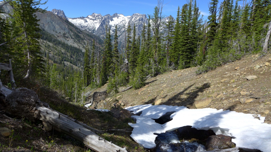
Back on the County Line Trail now... stopping for a break at Hardscrabble Creek before continuing the journey back to camp.
|
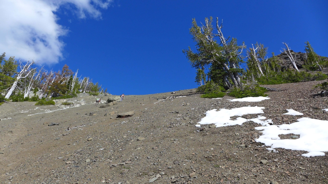
Steep terrain leading up to the Scatter/Hardscrabble saddle.
|
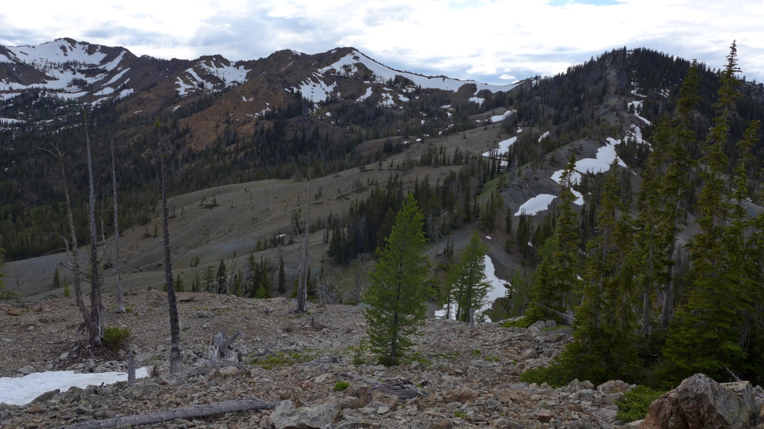
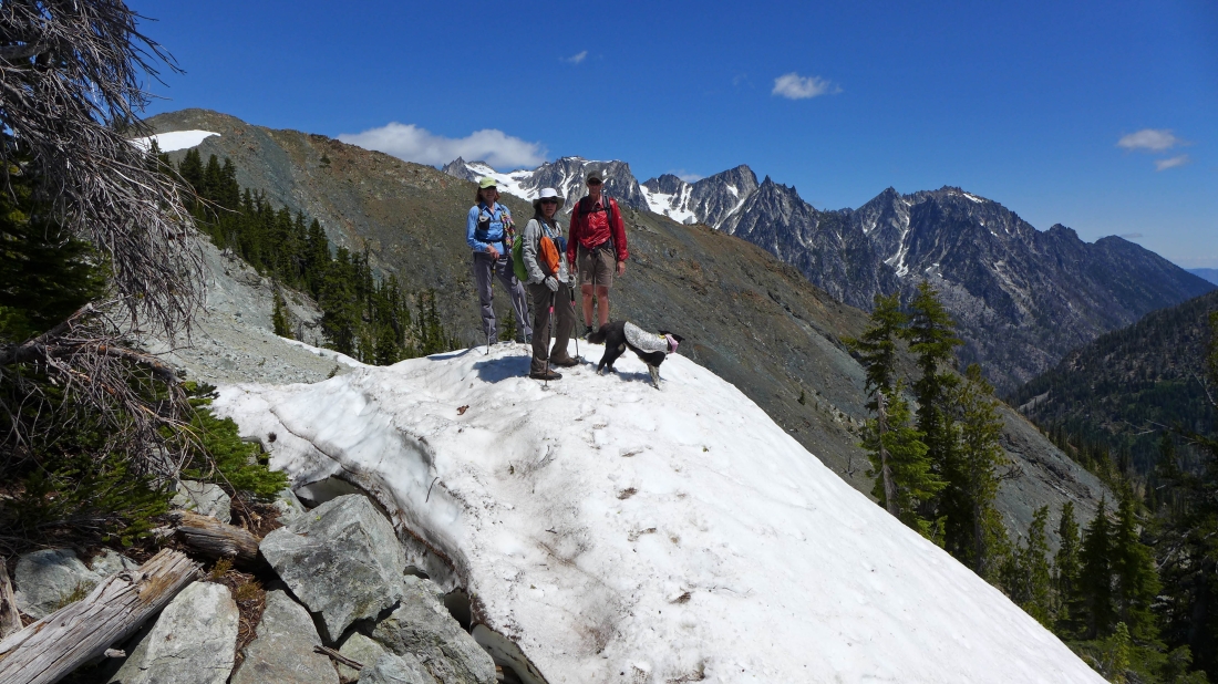
We have crossed over the Scatter/Hardscrabble saddle... clear sailing back to camp now... Navaho Peak in the center of the photo... with Miller Peak and Freedom Peak on the right.
|
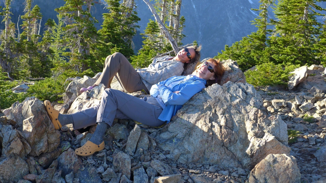
A well deserved break now that we are back to our base camp.
|

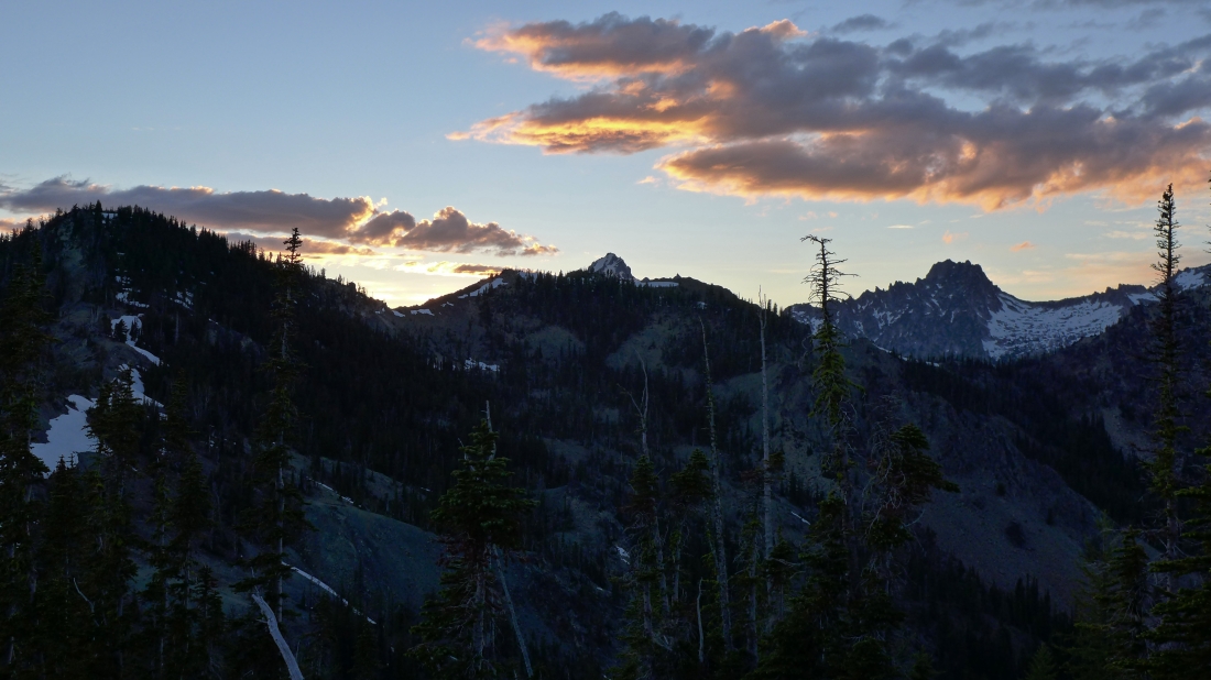
Fire at base camp... just south of the Alpine Lakes Wilderness boundary.
|
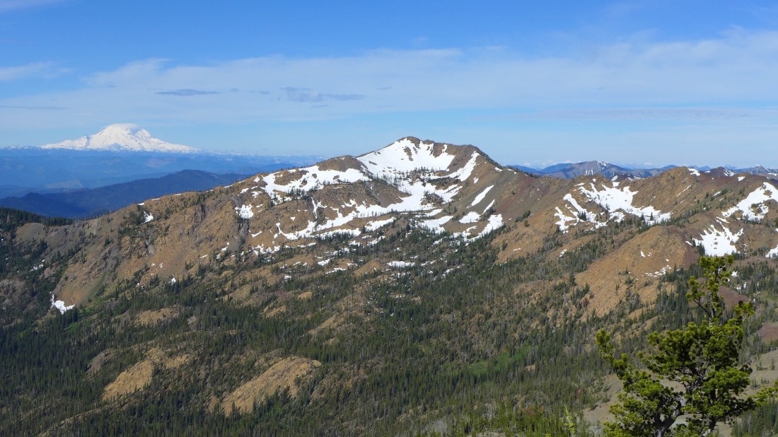
The next morning we woke up and decided to go up to Navaho Peak before breaking camp and hiking back to the car... this is Mt. Rainier and Earl Peak from near the summit (7223') of Navaho Peak.
|
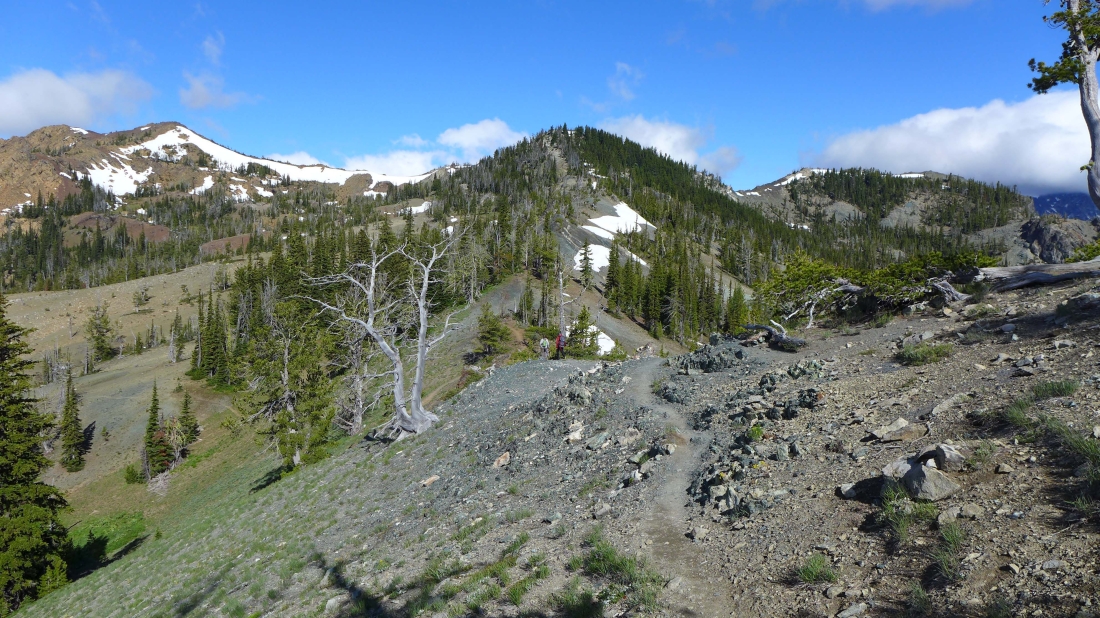
There is a good path/trail all the way to the Navaho summit in the right foreground.
|
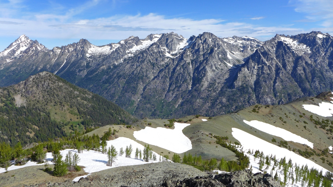
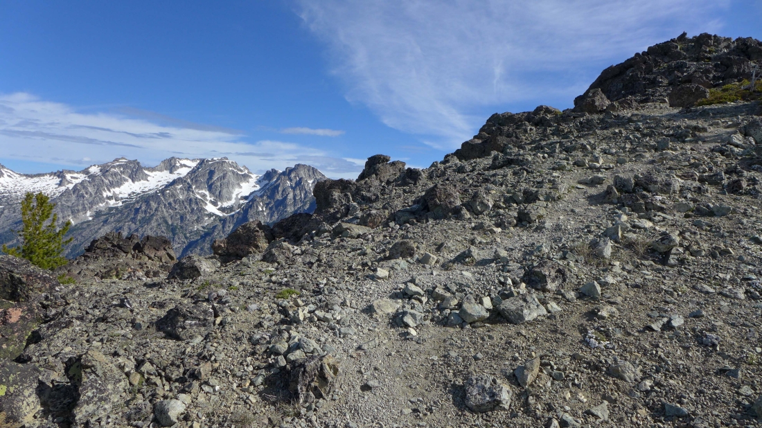
Most of the Stuart Range from the summit of Navaho Peak.
|
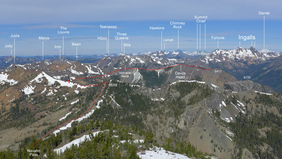
Peak identification looking west from the summit of Navaho Peak.
|
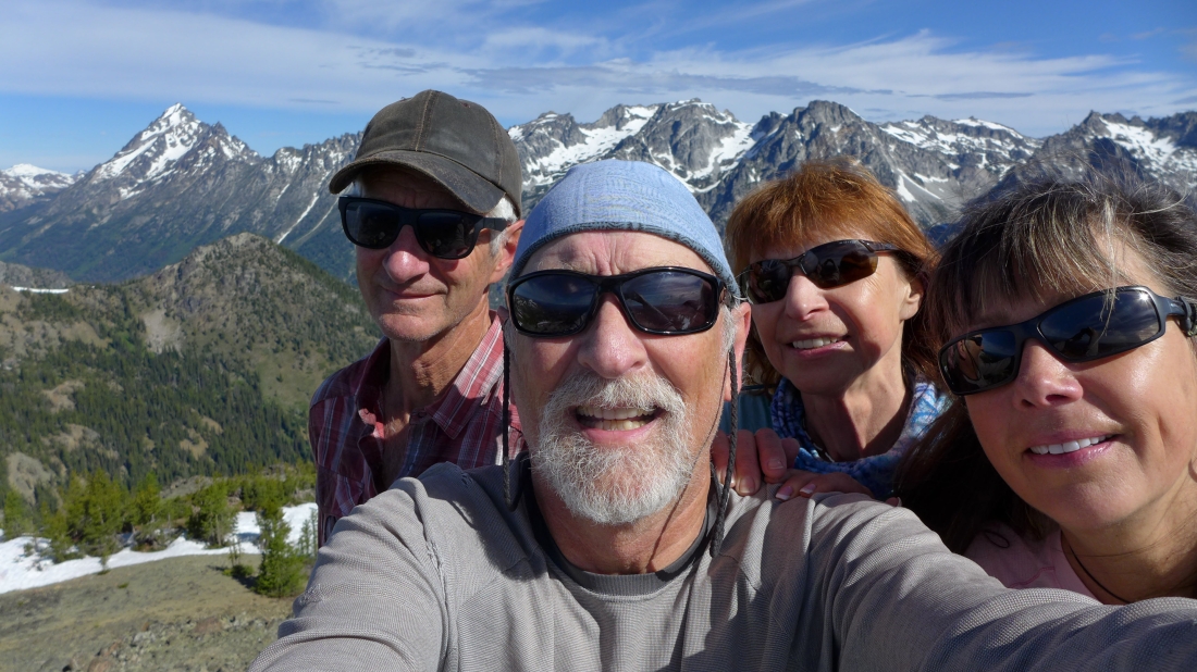
A selfie from the summit of Navaho Peak... madman, ragman, BarbE and Snowdog... with the Stuart Range behind us... now it is time to get off of the summit, break camp and hike the 6 miles back to the car... an awesome trip!
|
