Esmeralda Peak (5 summits) - 7.6.2016
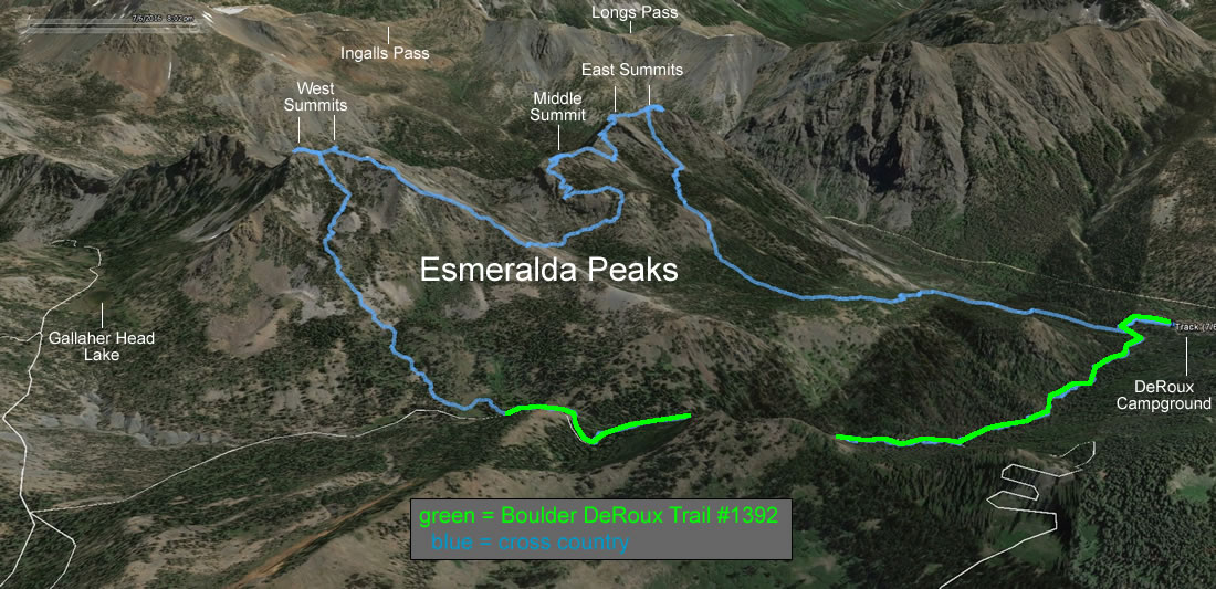
A google earth look at the GPS track of our trip to five summits on Esmeralda Peak... 8.2 miles roundtrip, gaining 4425 feet of elevation.
|
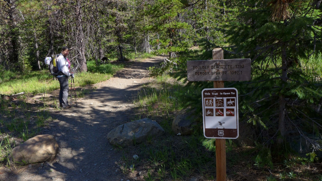
We started at the north end of DeRoux Campground on the Boulder-DeRoux Trail.
|
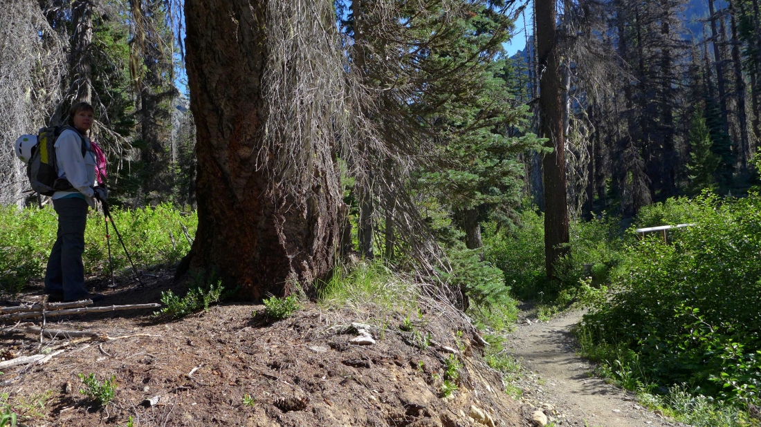
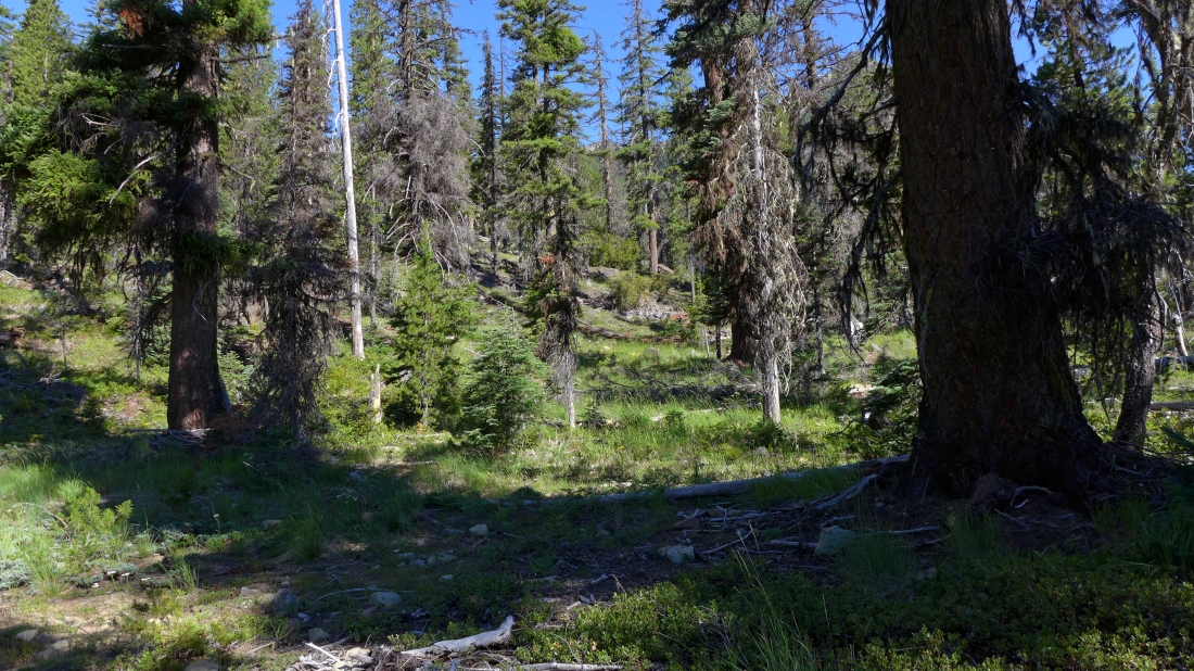
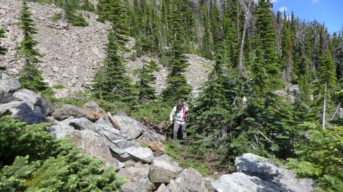
After crossing the bridge over the N. Fork Teanaway River, we have walked ~50 feet beyond the bridge and are leaving the trail on a faint path.
|
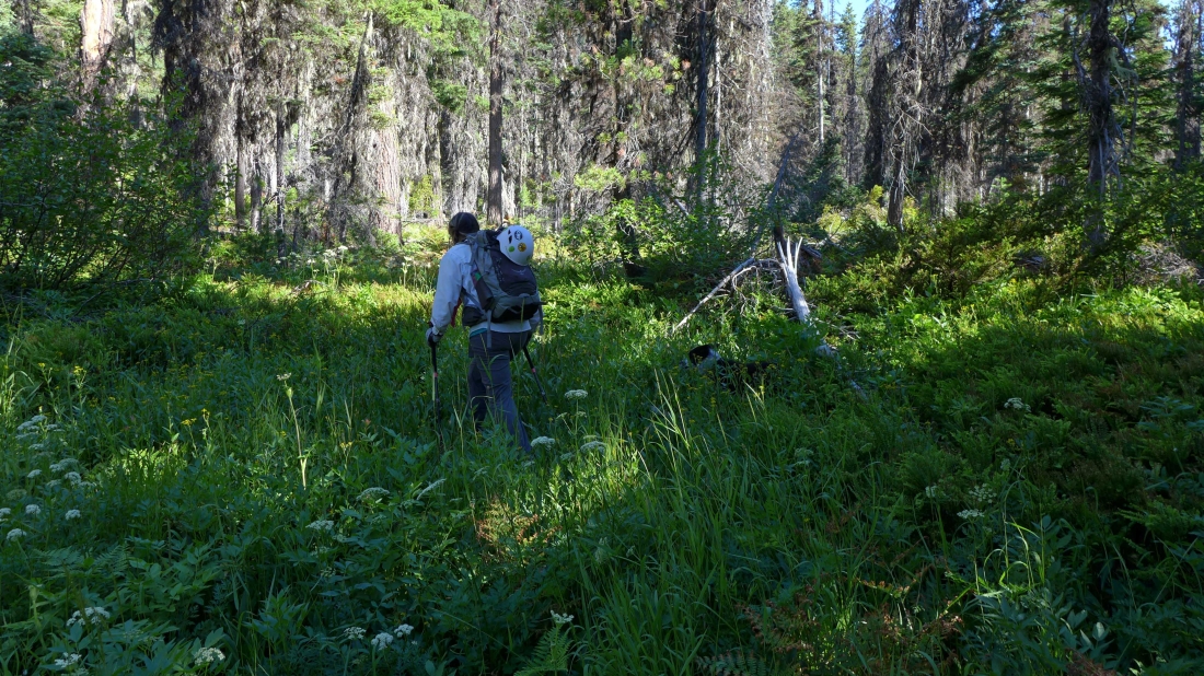
After paralelling the river for a short distance we have lost the path and are using an old GPS track that will take us NW... uphill toward Point 5265.
|
Continuing uphill toward Point 5265.
|
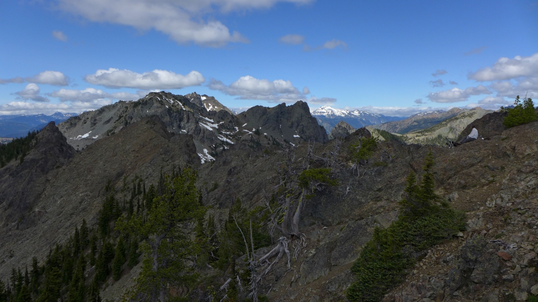
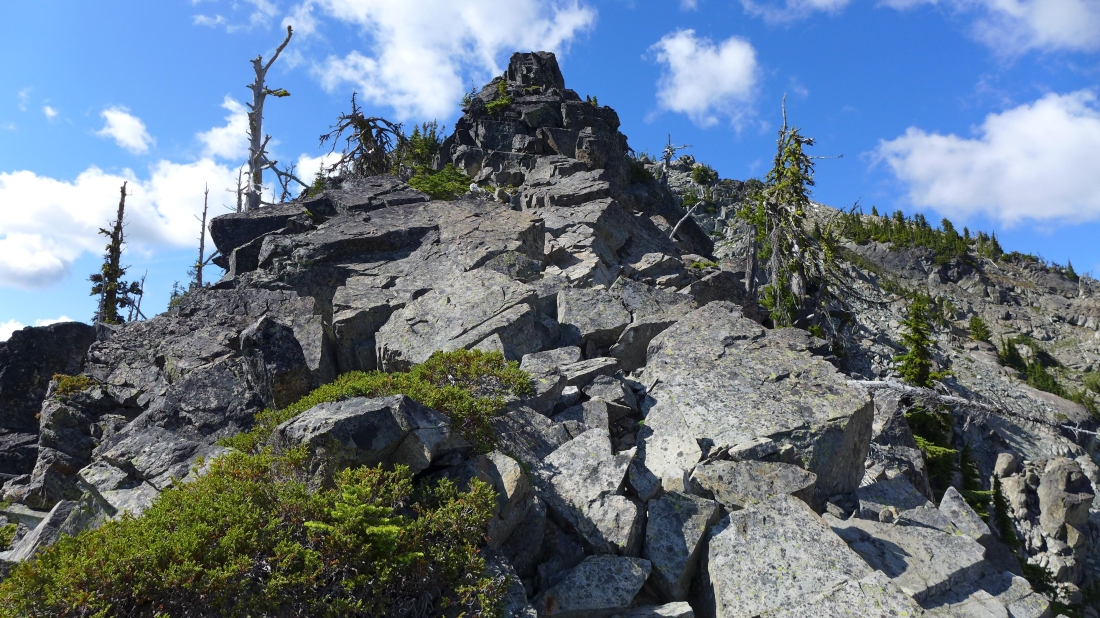
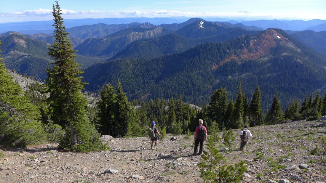
First good look at the two east summits of Esmeralda Peak.
|
The two east peaks of Esmeralda... the eastern most peak is on the right... and the other east peak (Point 6477) is just to the left of the tree on the left.
|
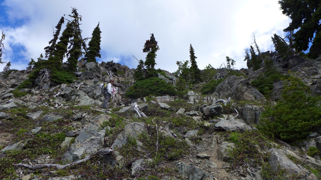
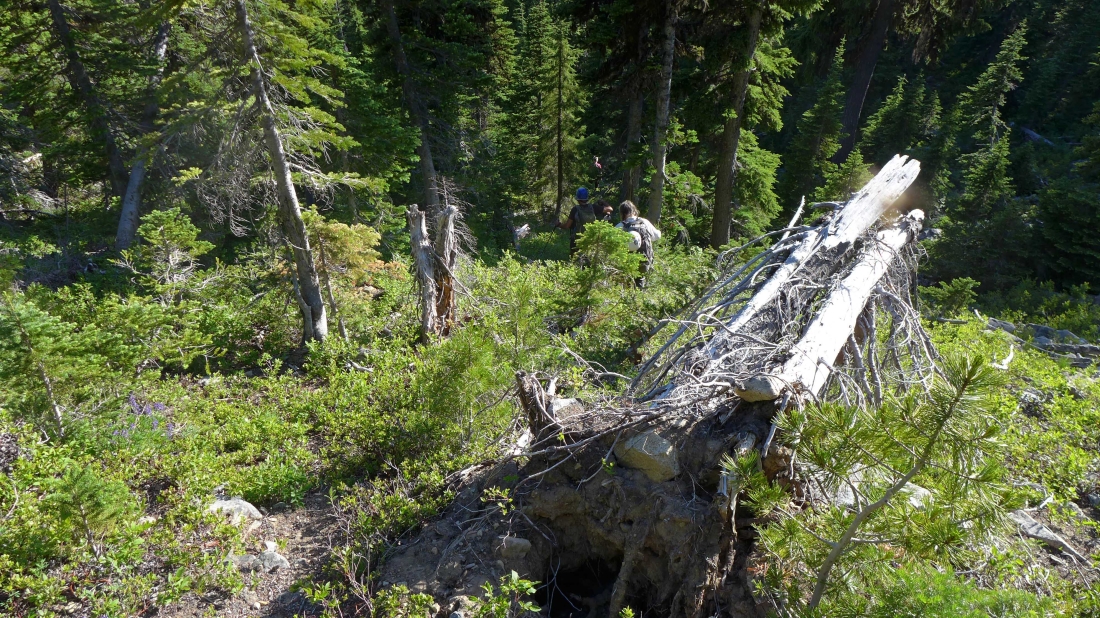
We found the old abandoned trail here... bits and pieces of the path appear and then disappear as we head toward Point 5265.
|
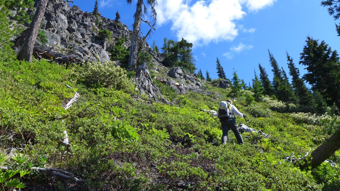
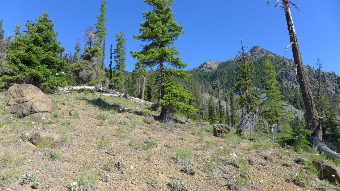
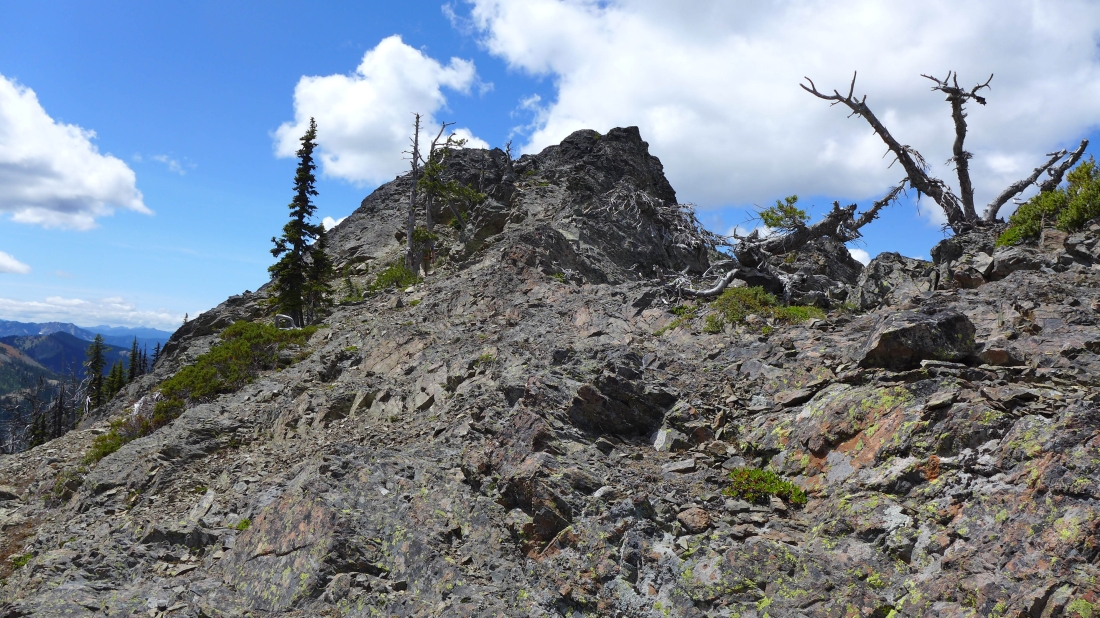
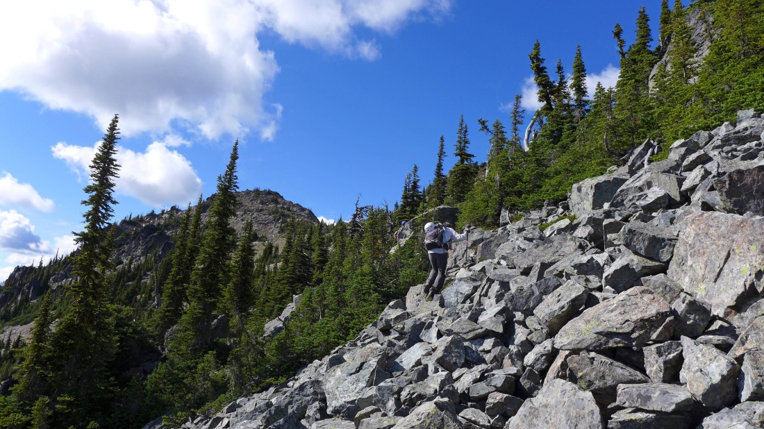
At ~5000 feet, we headed due north and ran into this cliffy area... so we will continue uphill and contour around the cliffs going NE.
|
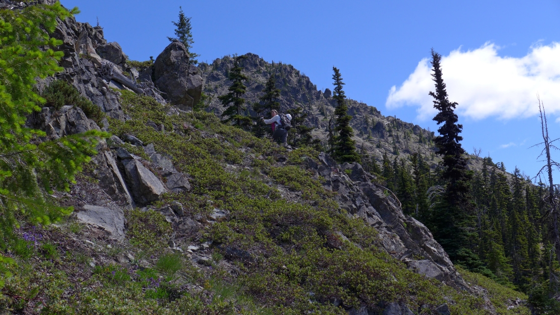
Continuing NE and uphill as the east summit comes into view.
|
Continuing up on fairly easy terrain... Point 6477 is on the far left... but we will trend to the right... heading for the eastern most summit which we can't see in this photo.
|
Gaining elevation and looking back at Mt. Rainier between Jolly Mountain and The Louvre.
|
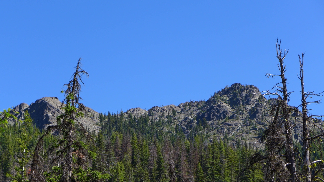
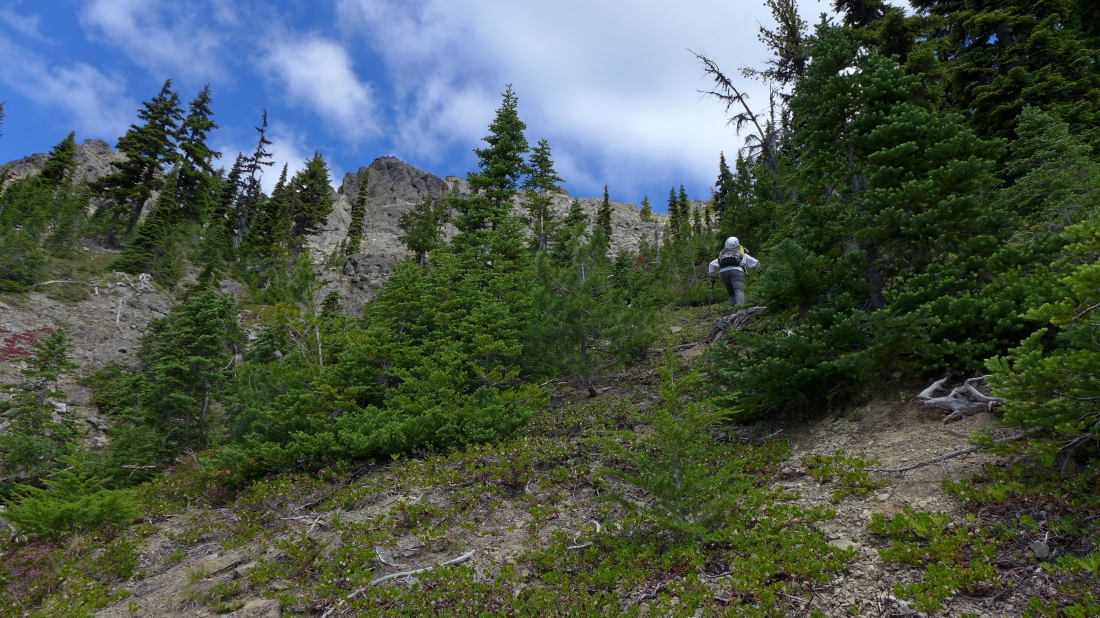
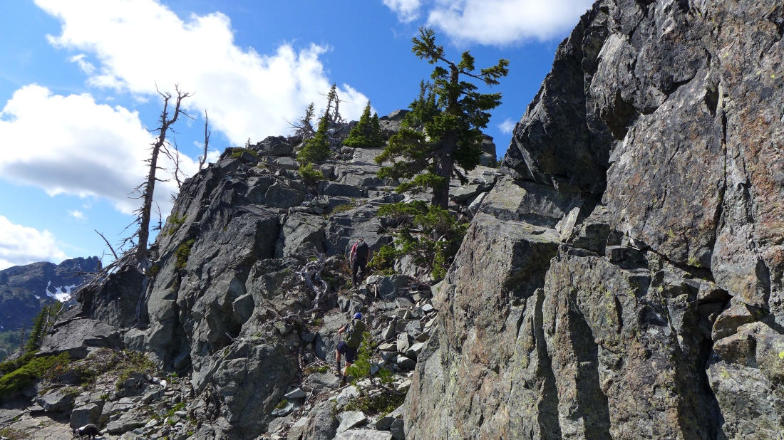
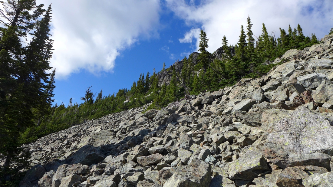
The terrain gets more rocky at ~6200 feet.
|
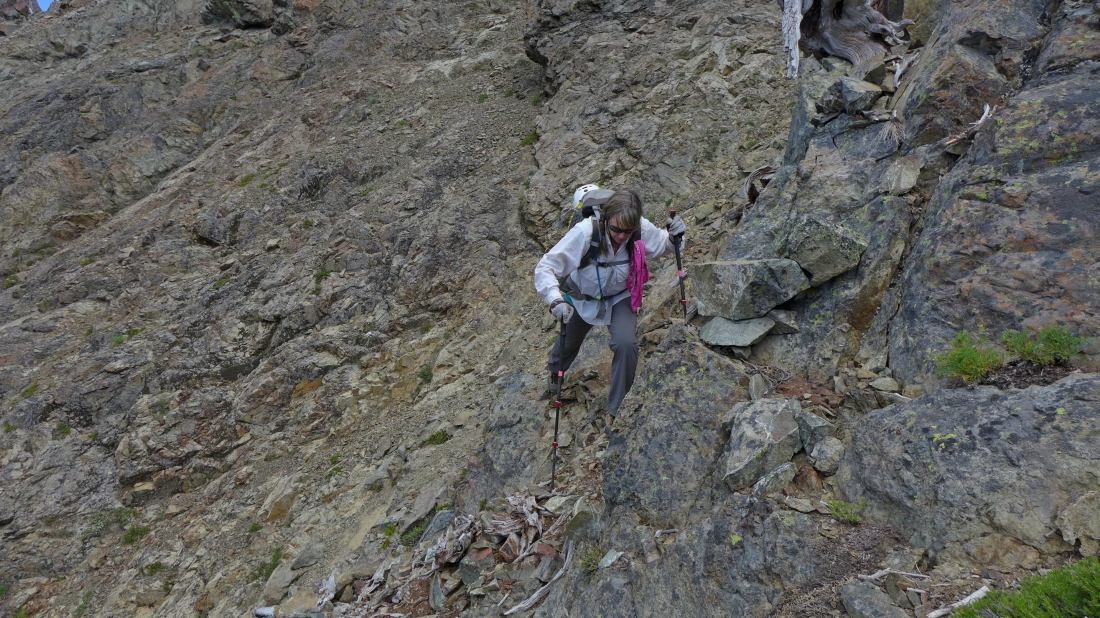
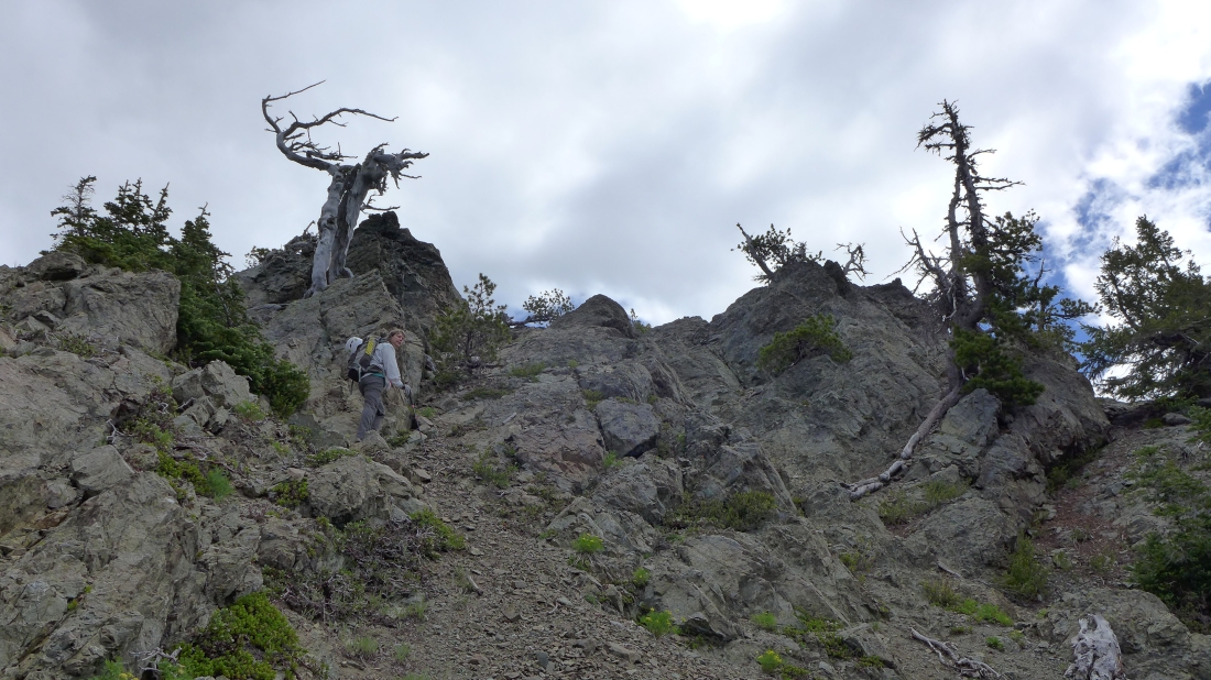
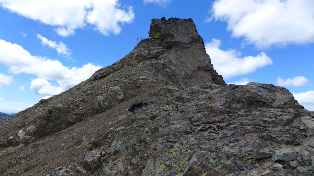
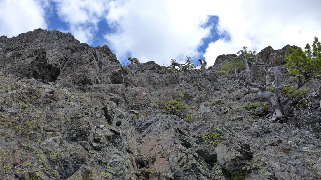
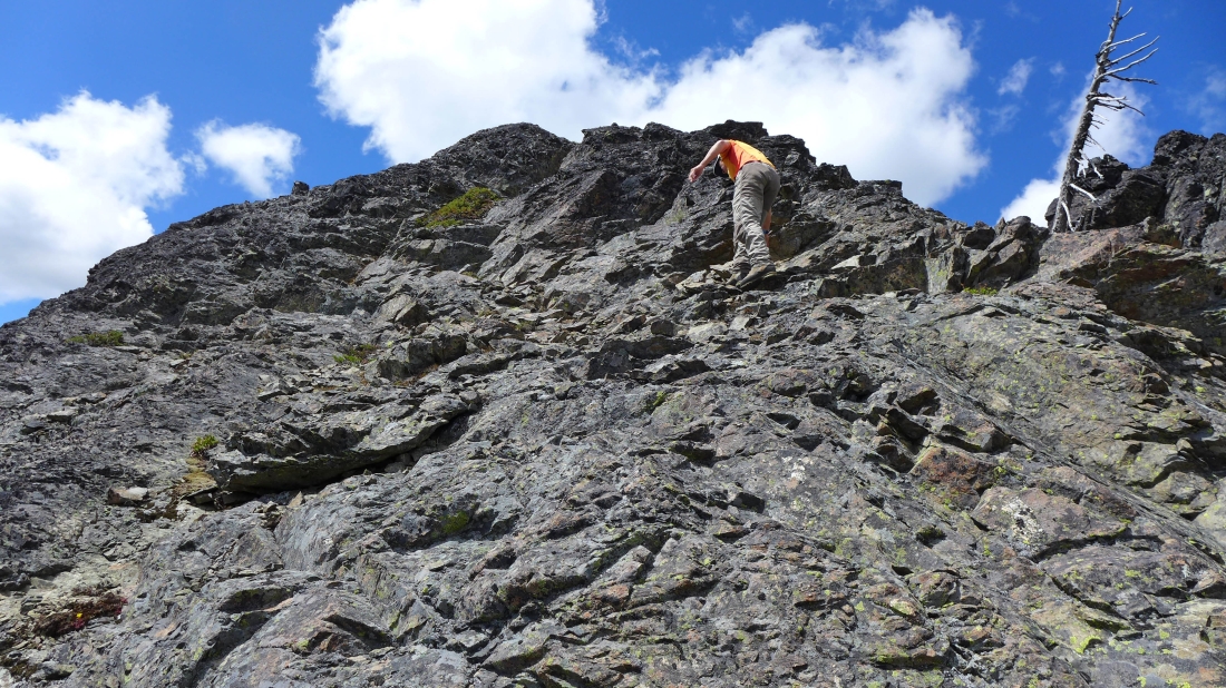
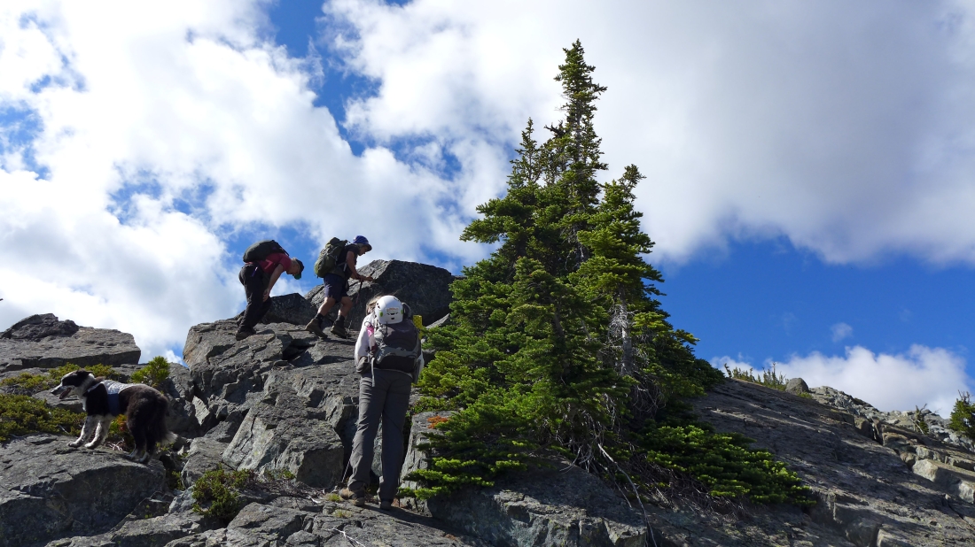
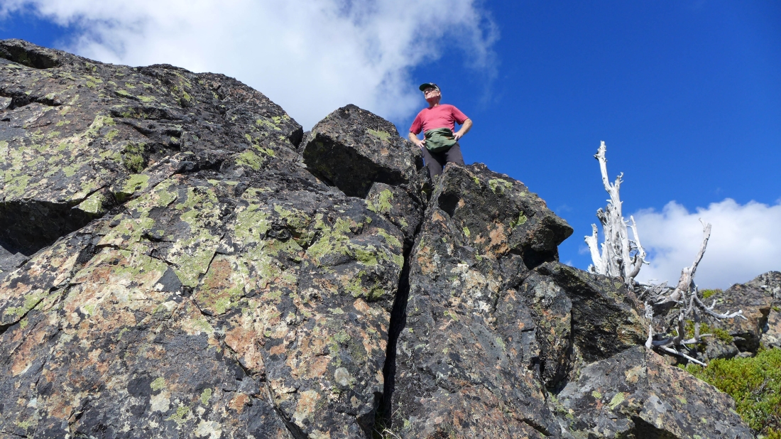
Snowdog is within a 100 feet of the east summit.
|
Snowdog works her way toward the east summit on steep terrain.
|
Our first look at the Stuart Range from near the east summit.
|
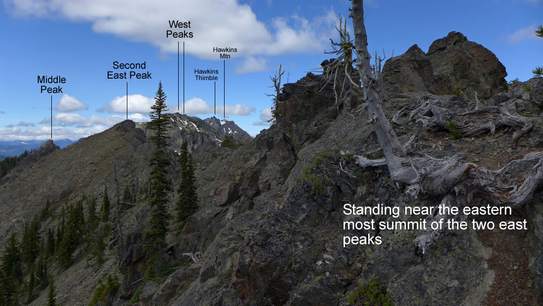
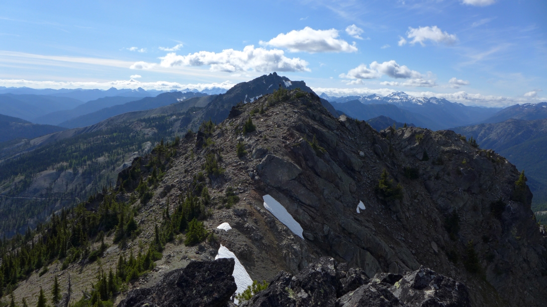
Standing near the east summit and looking west at 4 more Esmeralda summits we will tag later in the day.
|
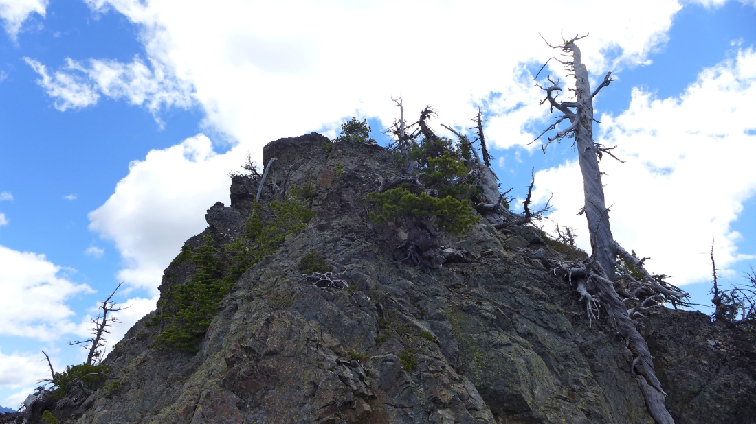
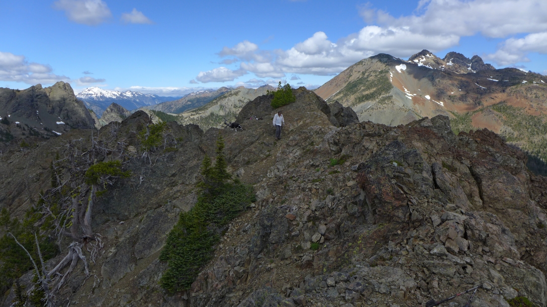
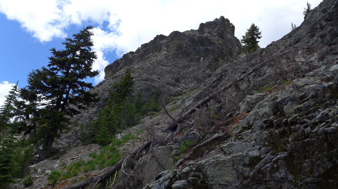
The east summit of Esmeralda is up there somewhere.
|
Snowdog nears the east summit.
|
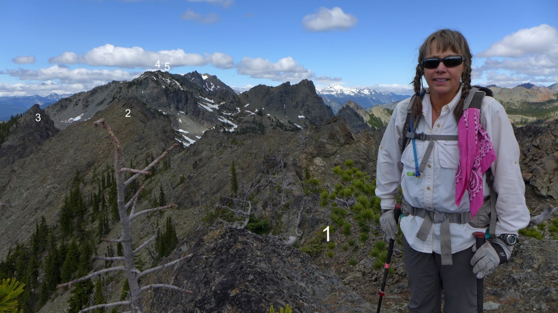
Snowdog stands on the east summit (6440+)... with the rest of our summits numbered in the photo.
|
Izzy and Snowdog take a break on the east summit of Esmeralda... looking west to our next 4 Esmeralda summits and Hawkins Mountain... with a snow covered Mt. Daniel on the horizon.
|
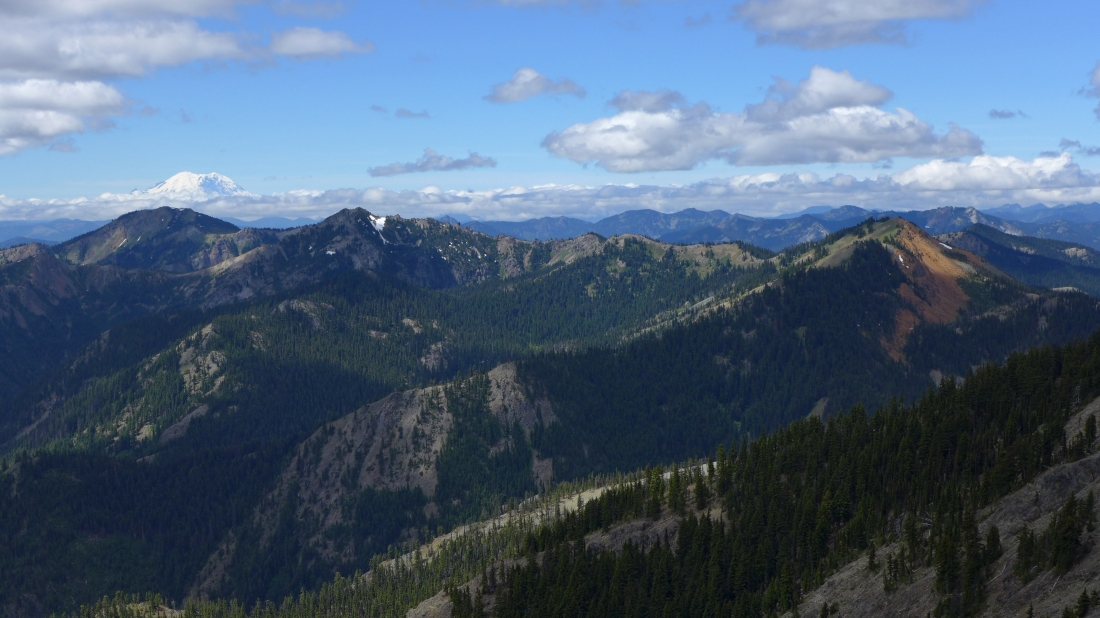
Mt. Rainier behind Jolly Mountain and The Louvre... with a red colored DeRoux Peak in the right foreground.
|
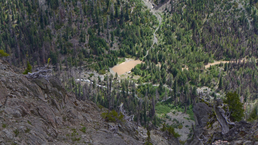
Looking down at the Esmeralda BasinTrailhead parking lot from the east summit of Esmeralda... the lot is empty because the road is closed 1.5 miles down the road at the Iron Peak Trailhead.
|
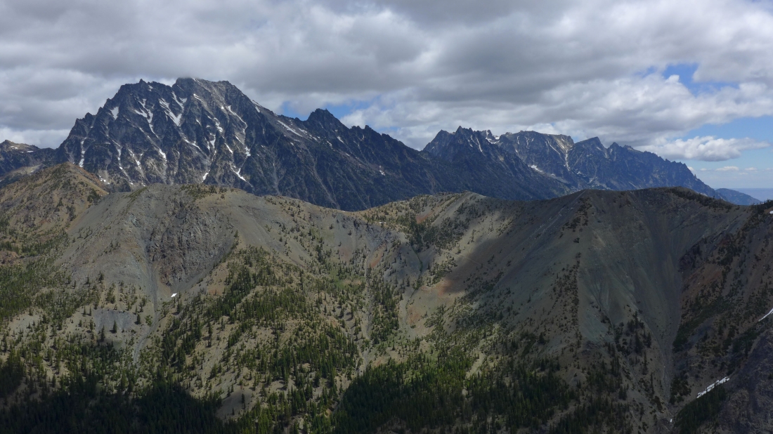
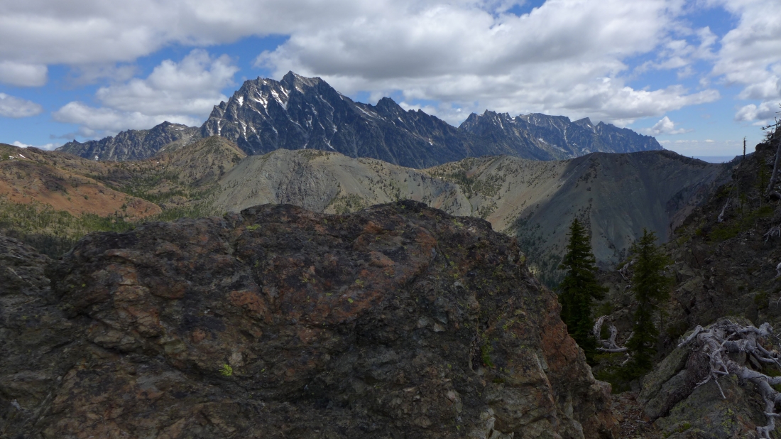
Looking across Longs Pass to the Stuart Range.
|
Izzy and Snowdog are coming over to take a look down at the parking lot... a snow covered Mt. Daniel on the left horizon... with Fortune Peak and the 3 summits of Ingalls Peak on the right.
|
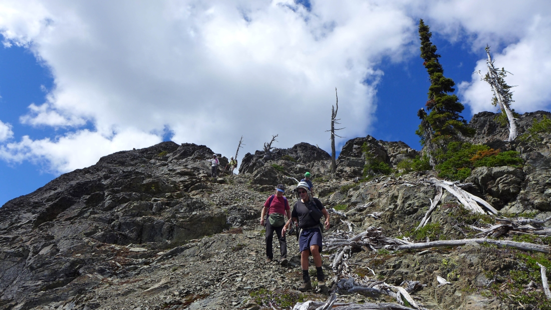
We have 4 friends coming up to the east summit directly from the parking lot at the Esmeralda Basin Trailhead... and b00 is visible (red circle) as he works his way along a ridge.
|
Cal, b00, iraman and dicey on their way up to the east summit.
|
b00, dicey and iraman are almost up to us on the east summit.
|
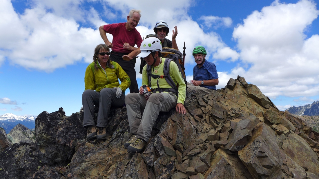
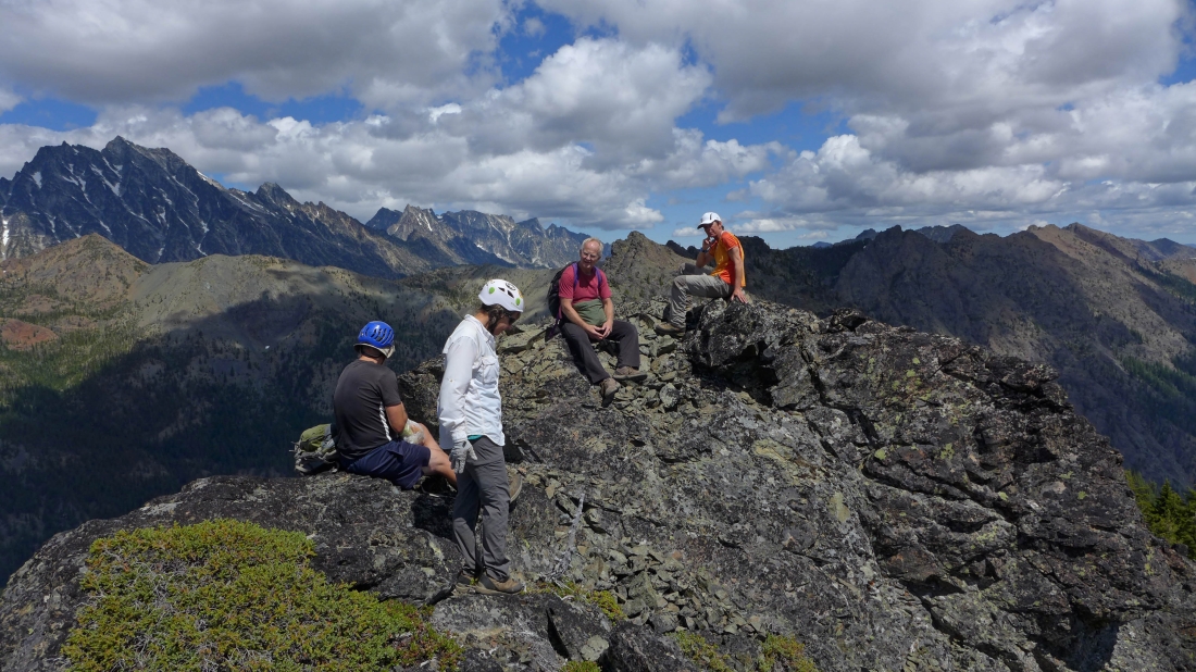
Party time on the east summit of Esmeralda Peak... left to right... Snowdog, Cal, dicey, b00 and iraman.
|
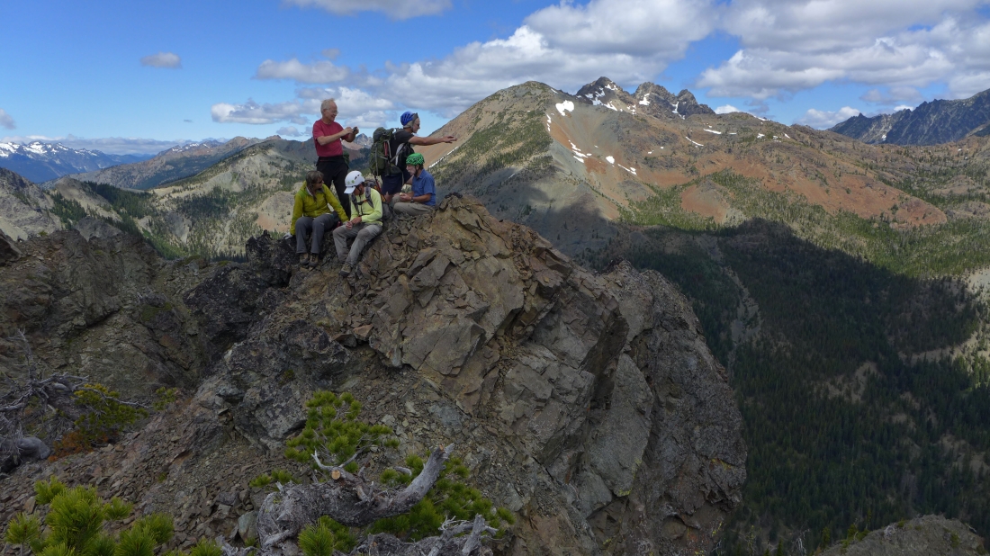
On the east summit... with Fortune Peak and Ingalls Peak behind us.
|
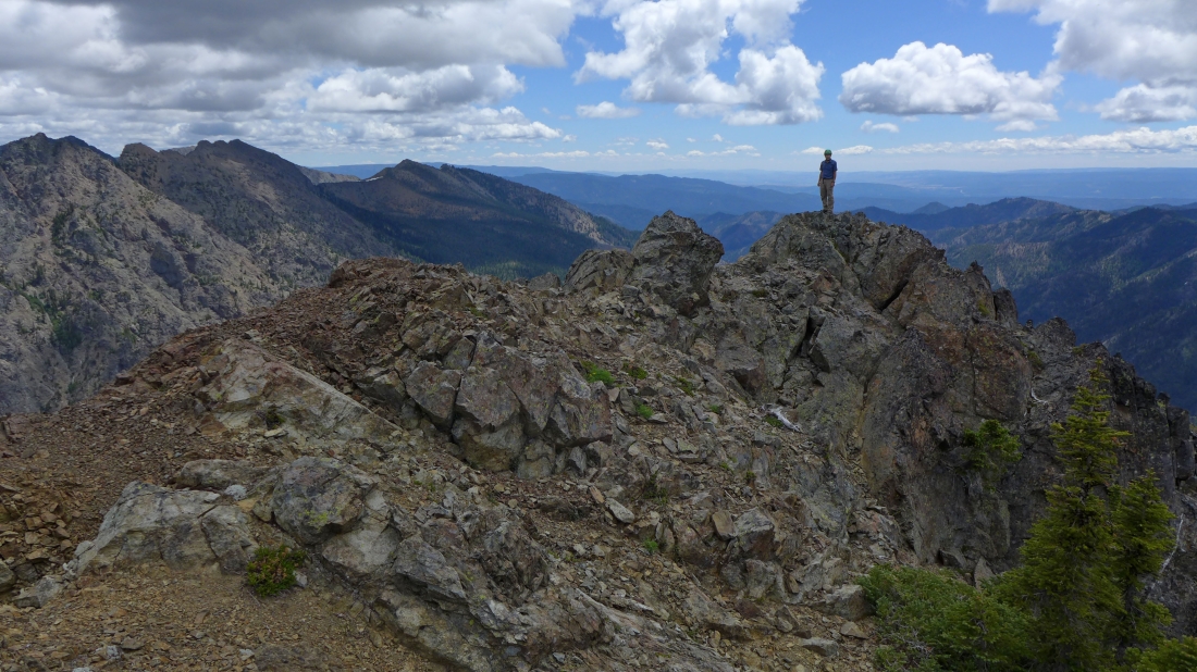
iraman walked out to the eastern terminus of Esmeralda to have a look down on the parking lot.
|
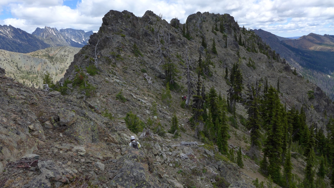
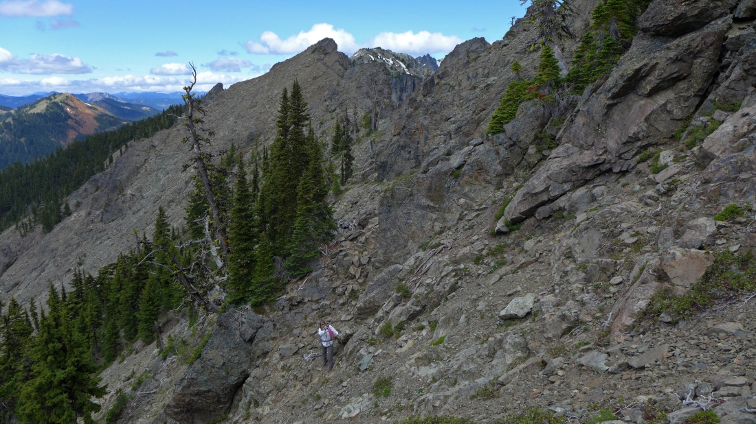
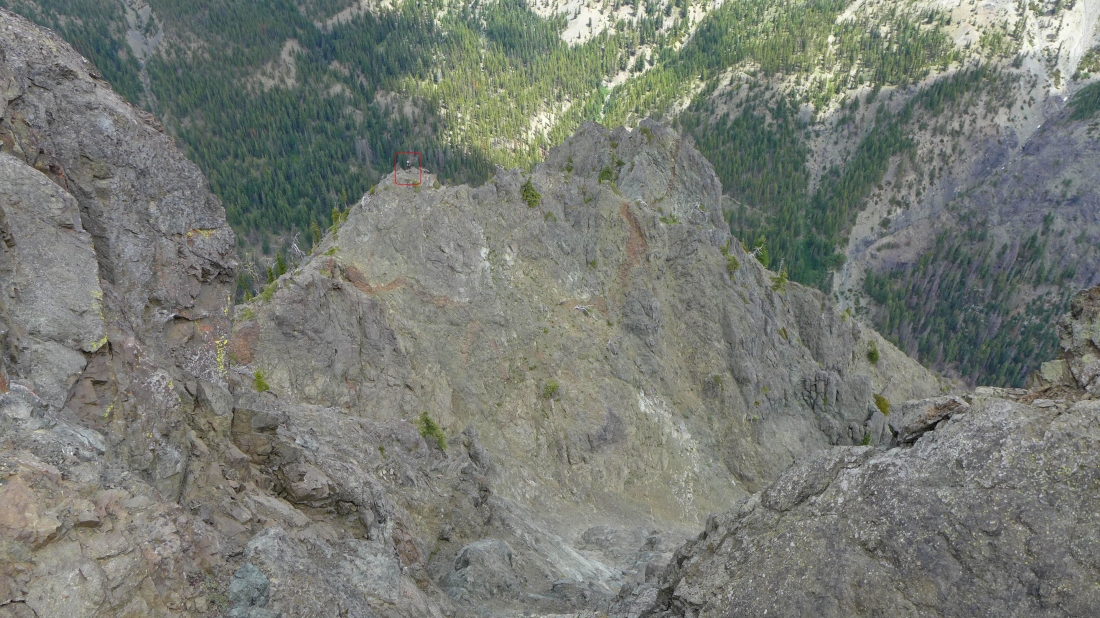
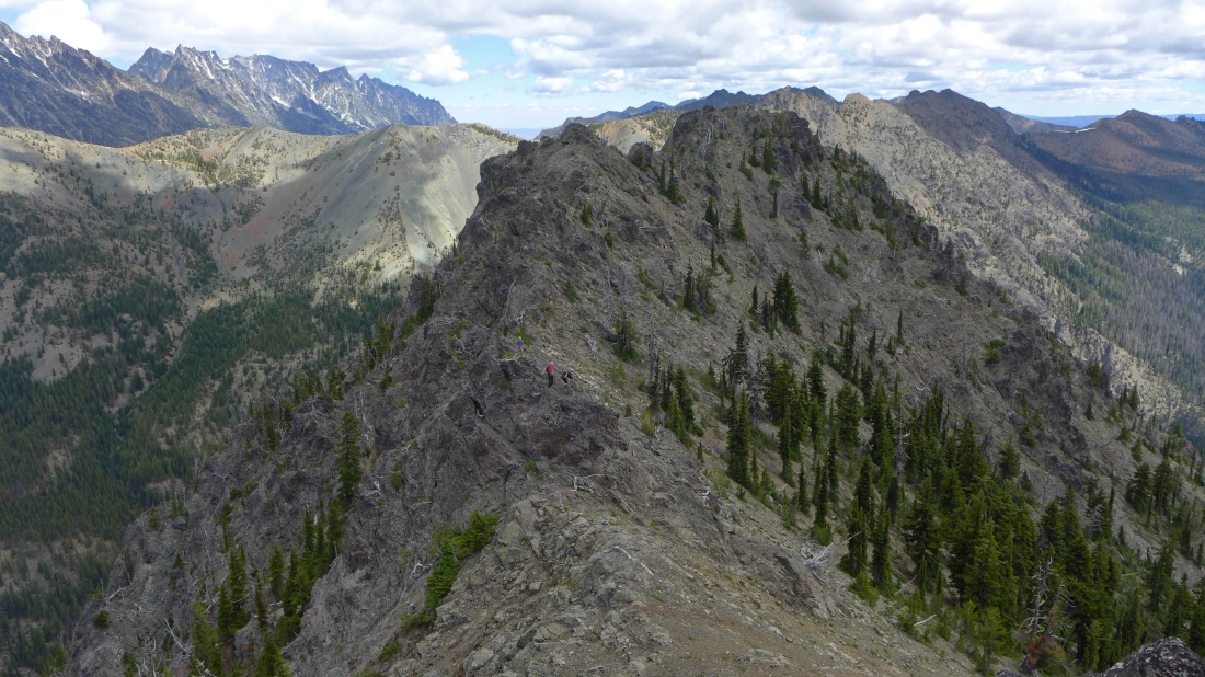
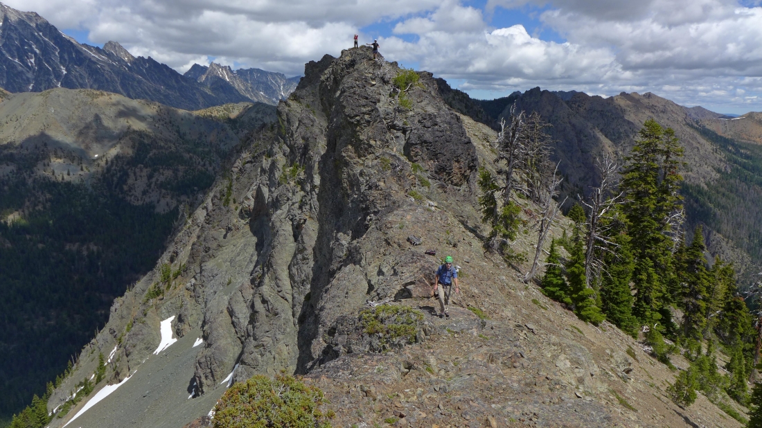
Looking back at the east summit as we work our way over to Point 6477.
|
Point 6477 (the second east summit)... Izzy will summit first.
|
iraman, Cal and b00 coming over to Point 6477... the east summit is in the center foreground.
|
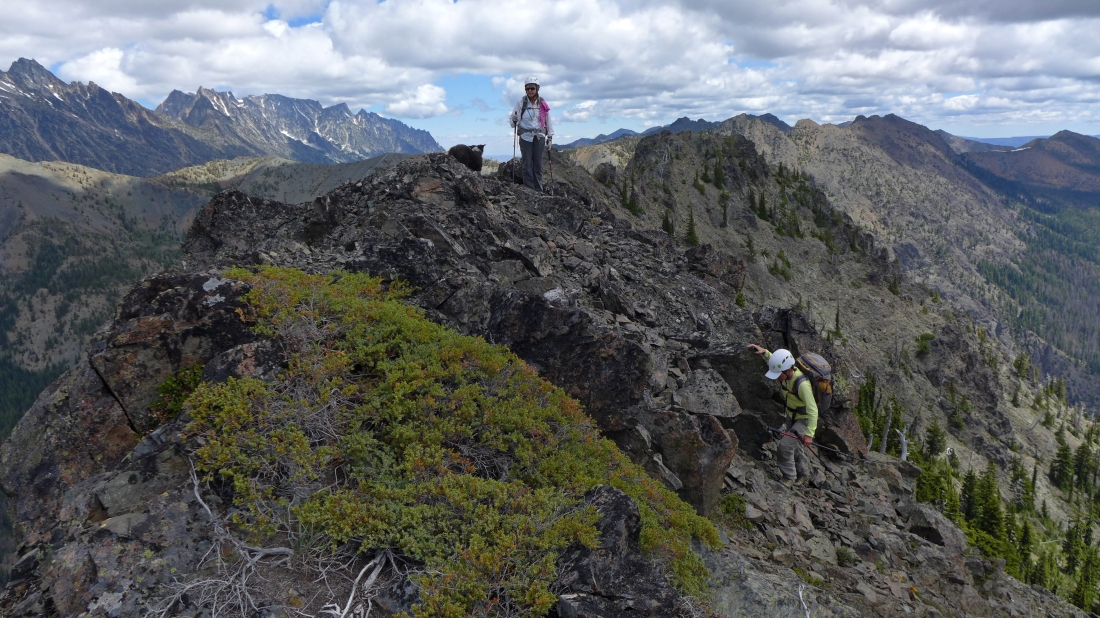
Izzy and Snowdog watch dicey near the summit of Point 6477.
|
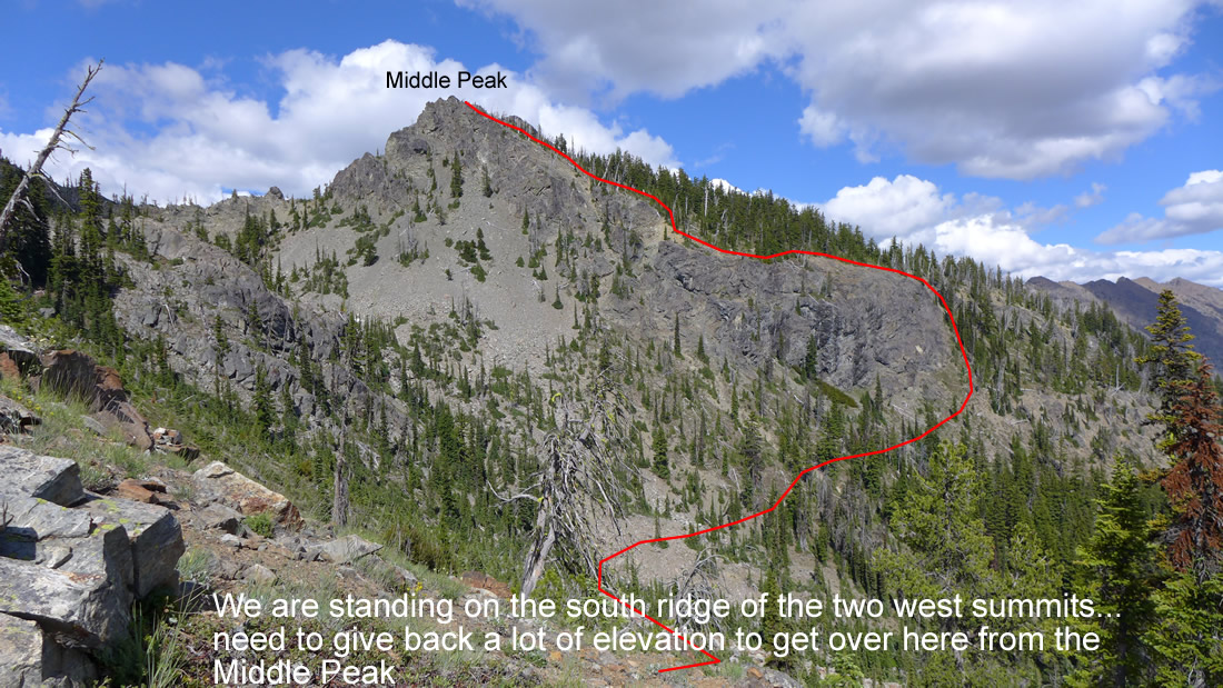
We will need to give back 400 feet of elevation to get over to the Middle Peak (6407').
|
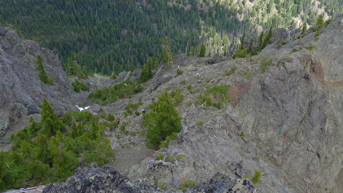
iraman and Snowdog work there way down from Point 6477.
|
The middle peak is up there somewhere.
|
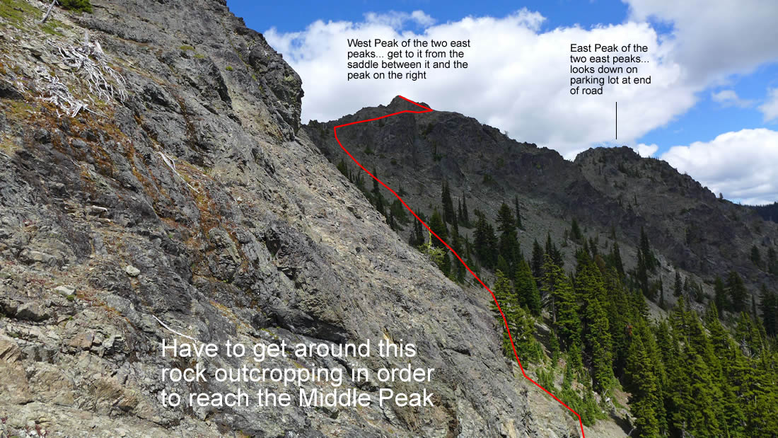
Looking back at Point 6477 (center) and the east summit as we round the rock cropping that will allow us to get up to the middle peak (Point 6407).
|
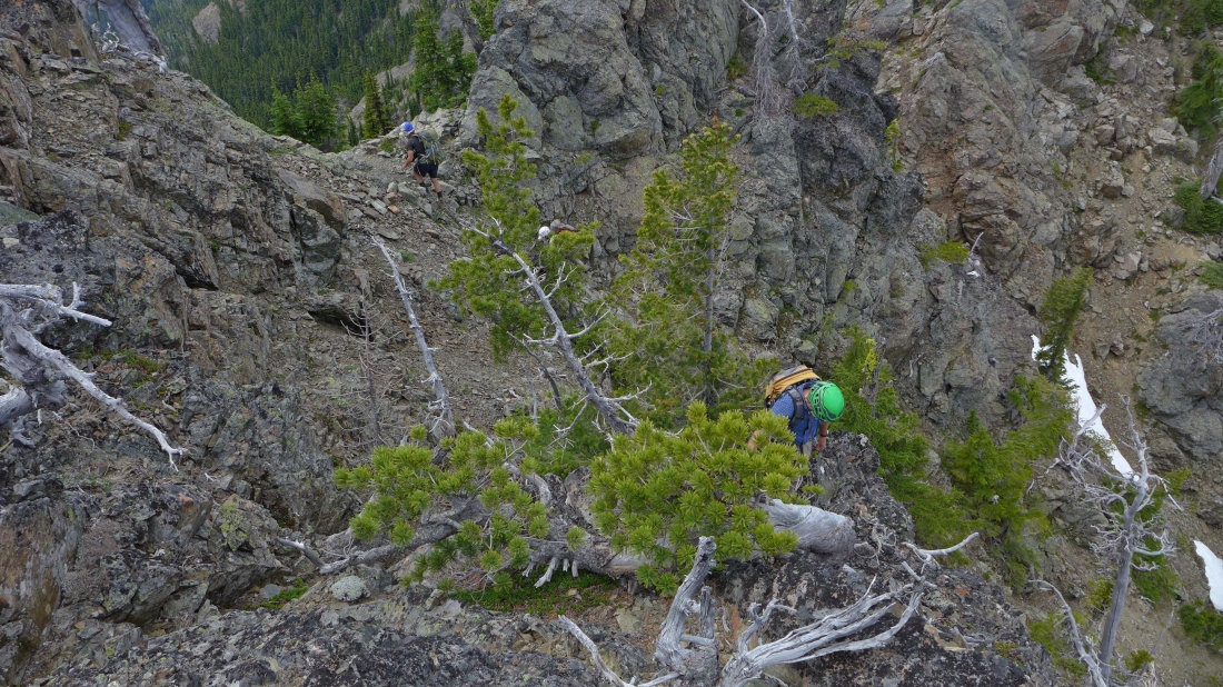
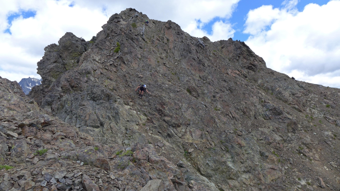
Cal and b00 decided to go up to another bump on the ridge as iraman is coming over to Point 6407.
|
The middle peak summit is up there on the left.
|
dicey nears the middle peak summit.
|
Hanging out on the Middle Peak (Point 6407) of Esmeralda... with the Stuart Range on the left horizon.
|
Coming down from Point 6407.
|
After having to give back 600 feet of elevation from Point 6407... we crossed a boulder field over to the south ridge of the west summits.
|
On the south ridge of Esmeralda's twin west summits... looking back at our approximate route from the middle peak.
|
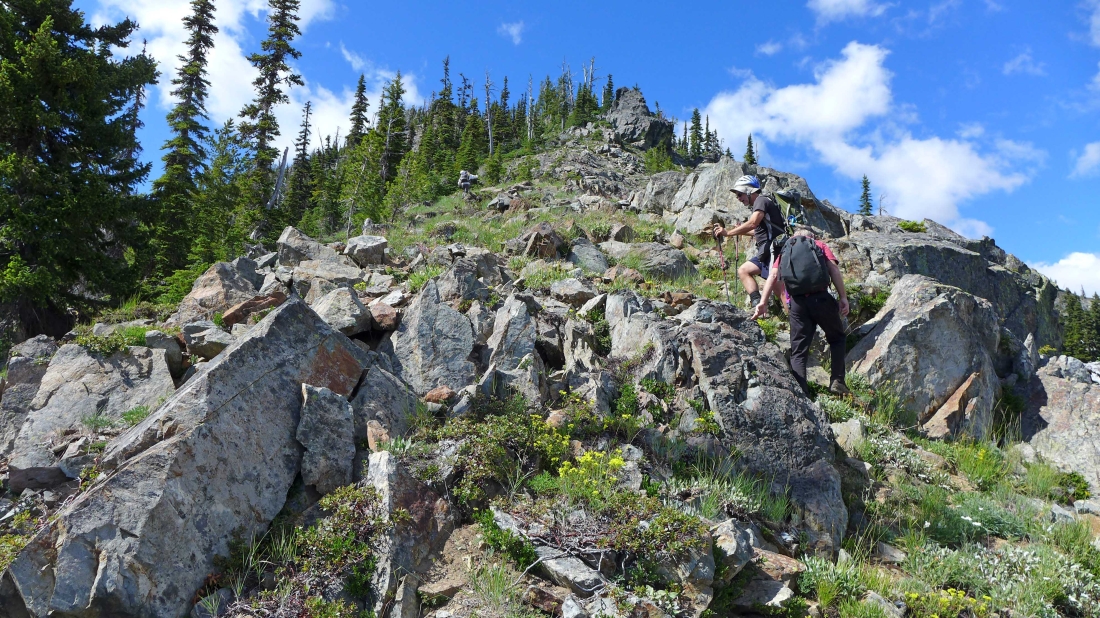
Snowdog, b00 and Cal heading up the south ridge of the west summits.
|
Getting higher on the south ridge of the west summits.
|
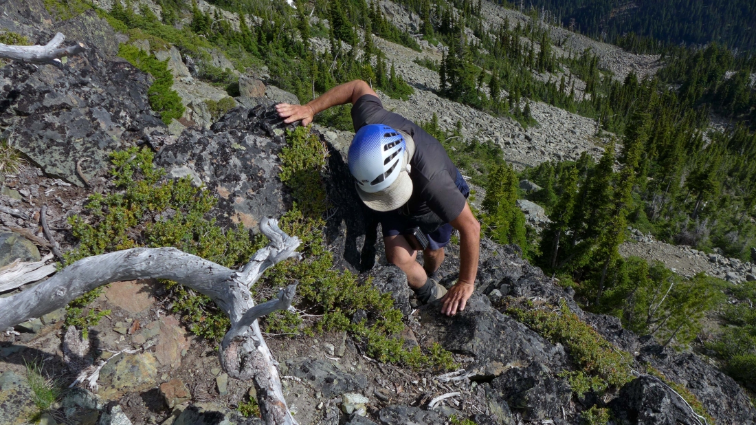
Looks like some fun rock work on the south ridge of the west summits.
|
Cal and b00 lead us up the south ridge toward Esmeralda's west summits.
|
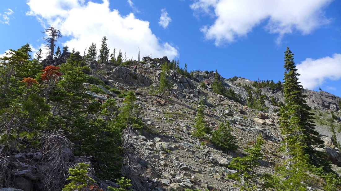
Getting higher on the south ridge of Esmeralda's west summits.
|
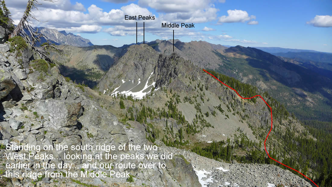
On the south ridge of Esmeralda's west summits... looking back at the peaks we did earlier in the day.
|
More boulder work... the main west summit is on the left... with Point 6765 somewhere above us on the right.
|
Heading for Point 6765 (the eastern most of the two west summits).
|
Cal on the summit of Point 6765.
|
From Point 6765 we are looking over at b00 standing on the main summit... with Hawkins Thimble and Hawkins Mountain behind him.
|

A selfie on Point 6765.
|
b00 is coming up to Point 6765 as I head down to go over to the main summit.
|
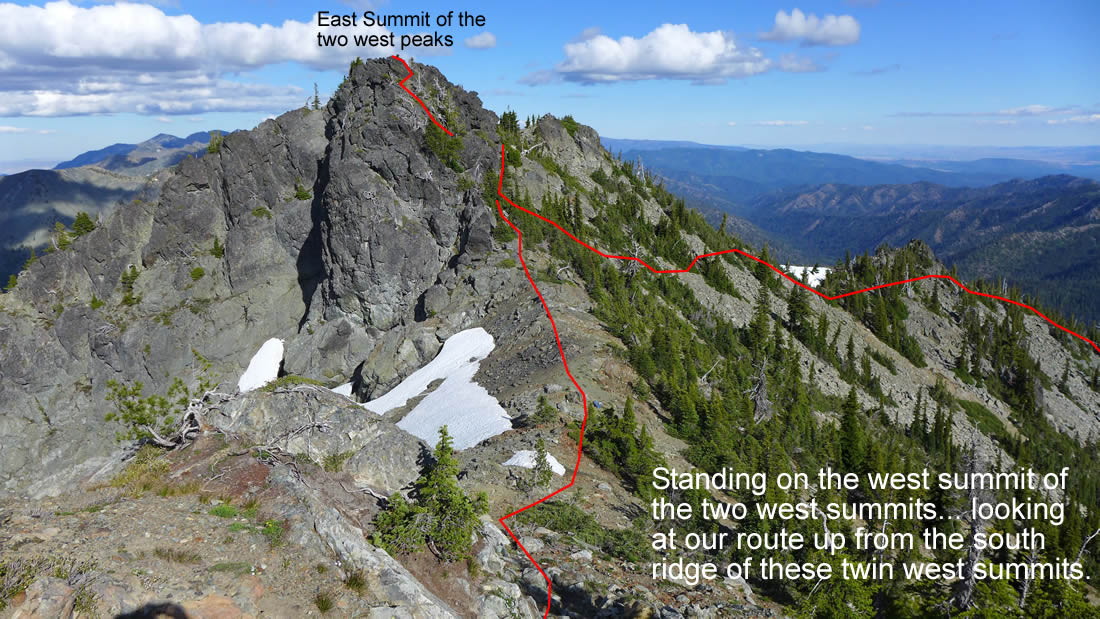
On the main summit of Esmeralda... looking over at Point 6765... the red line shows our approximate route up the south ridge of the west summits.
|
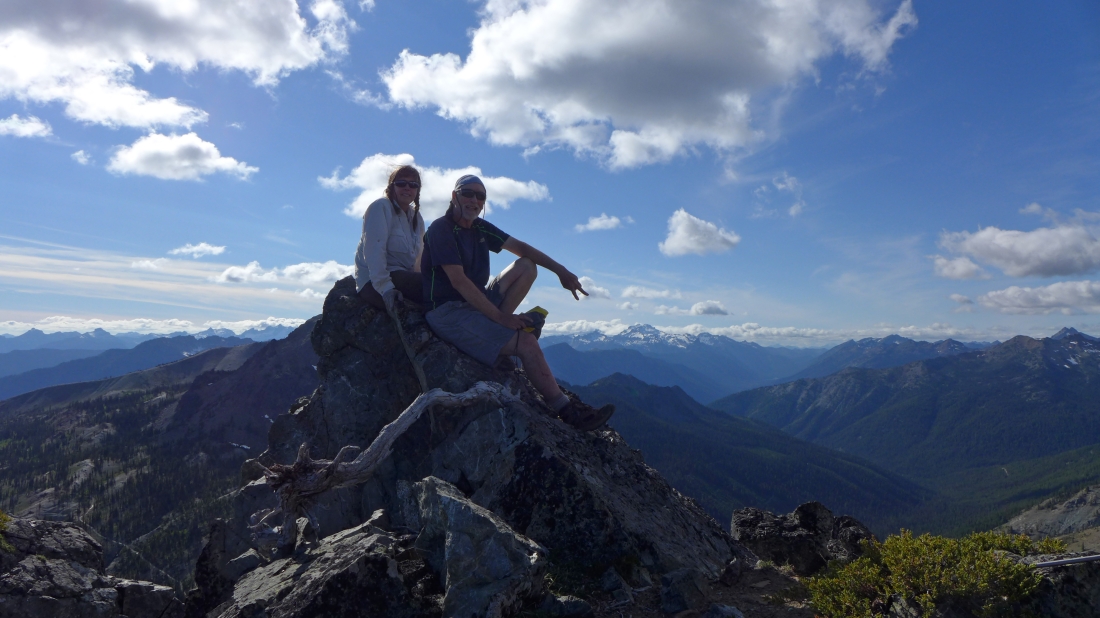
Cal took this photo of Snowdog and ragman on Esmeralda's main summit... Looks like I am pointing to Mt. Daniel.
|
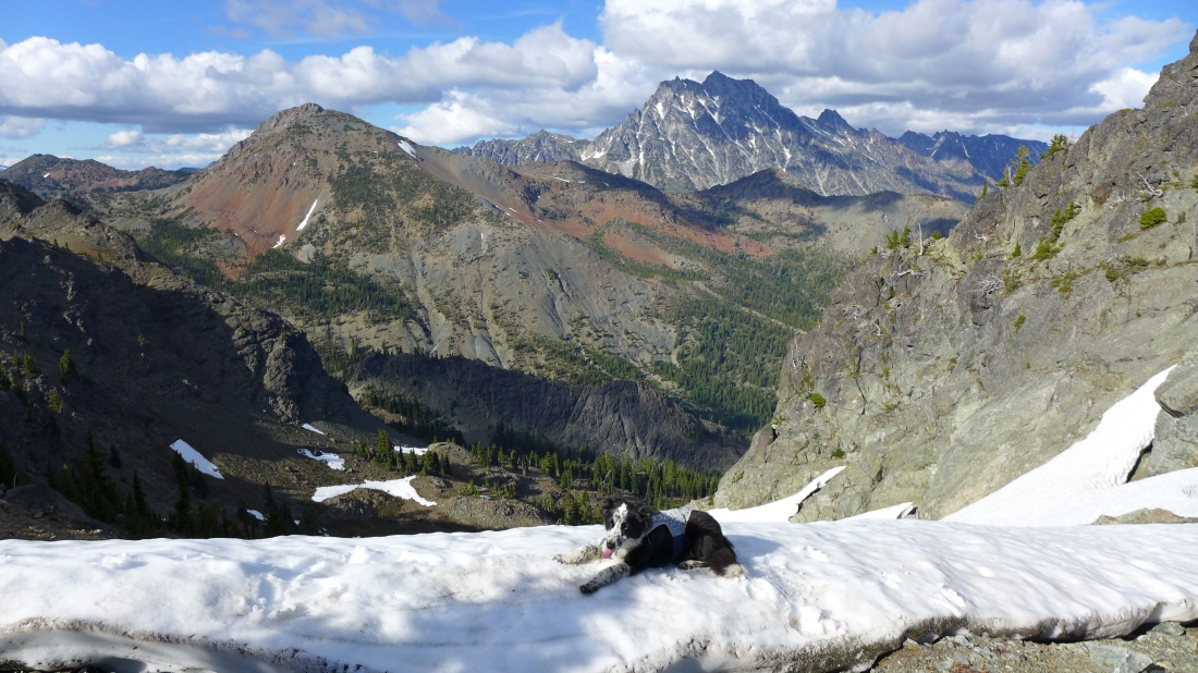
Izzy takes a break between the two west summits.
|
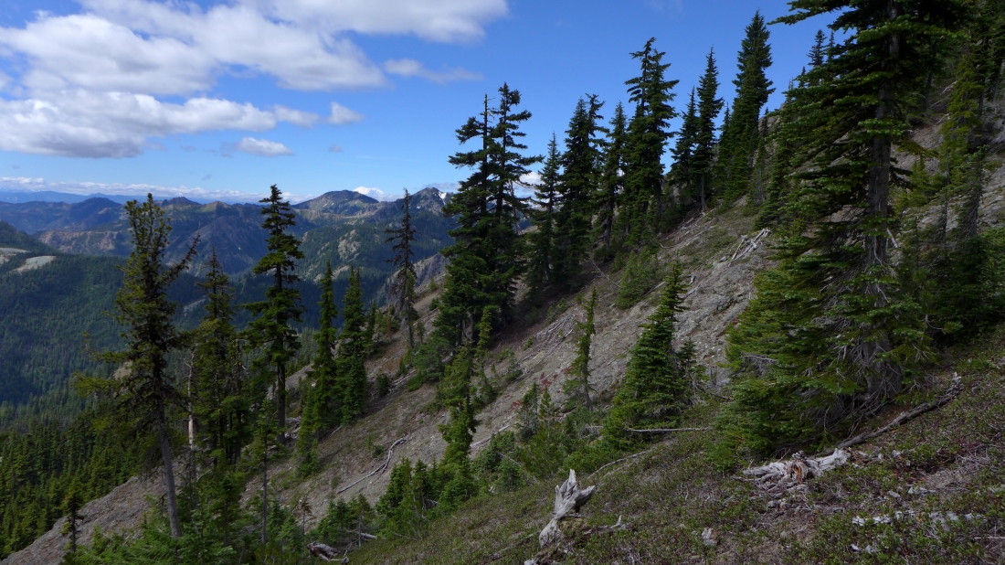
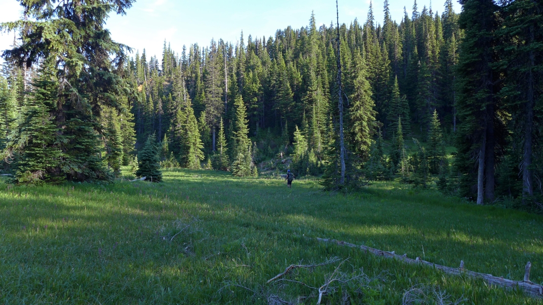
Heading down... in search of the Boulder DeRoux Trail that will get us back to the car.
|
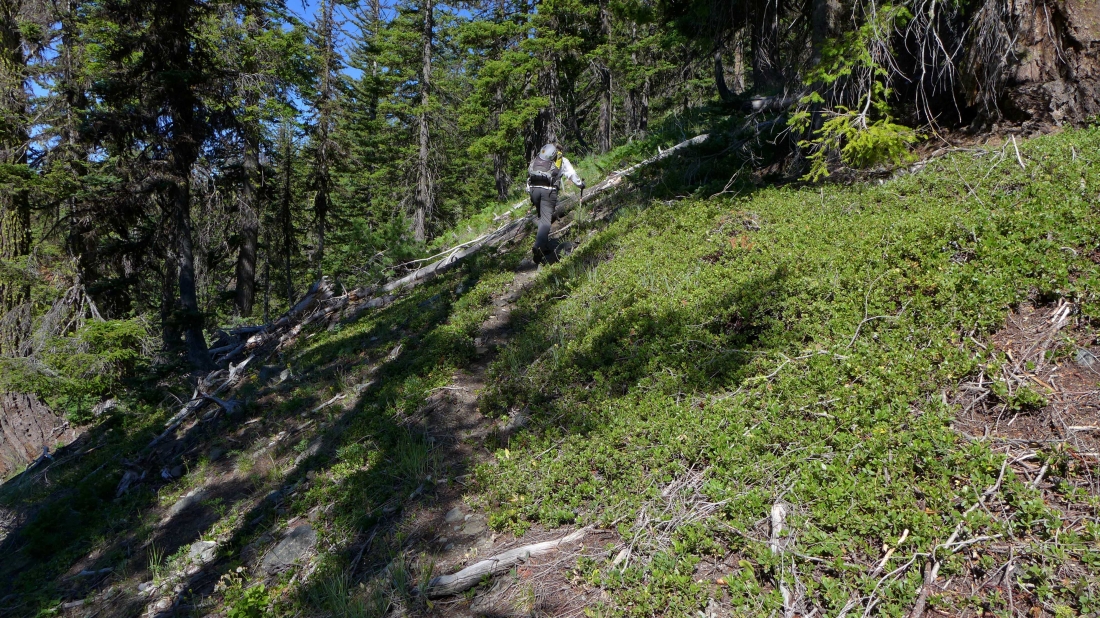
More brushy as we near the Boulder DeRoux Trail.
|
Hooray... b00 has found the Boulder DeRoux Trail.
|
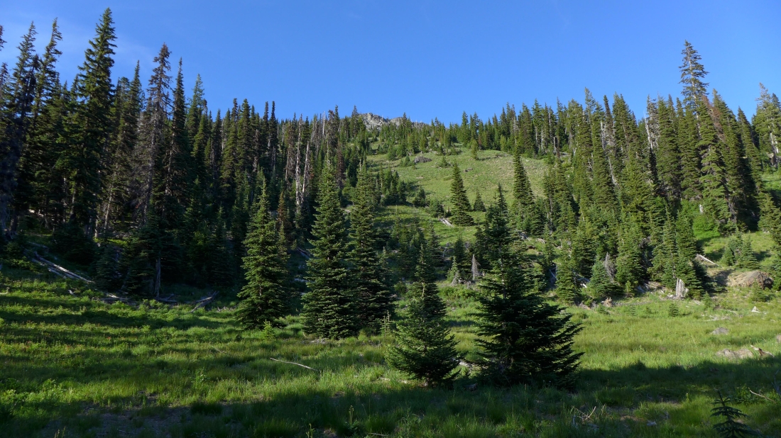
On the Boulder DeRoux Trail... looking up toward the west summits of Esmeralda Peak... a 2.5 mile hike will get us back to our car.
|
