Sherpani Peak - 7.15.2016
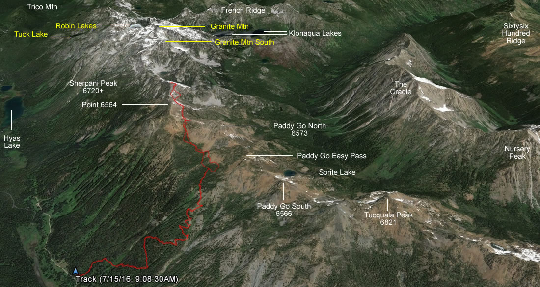
A google earth look at our GPS track to Sherpani Peak... 8.3 miles roundtrip, gaining 3950 feet of elevation.
|
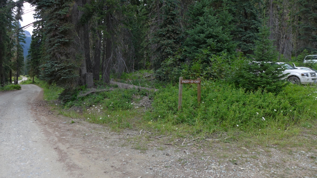
Drive the unpaved FS-4330 for 11.3 miles to the trailhead for Paddy Go Easy Pass Trail #1595.1... another mile or so up 4330 gets you to the end of the road and a place to start your hike to places like Peggys Pond, Deception Pass and Robin Lakes.
|
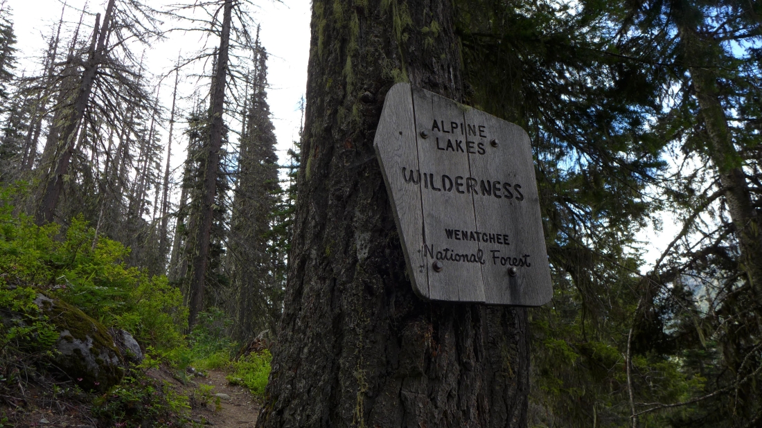
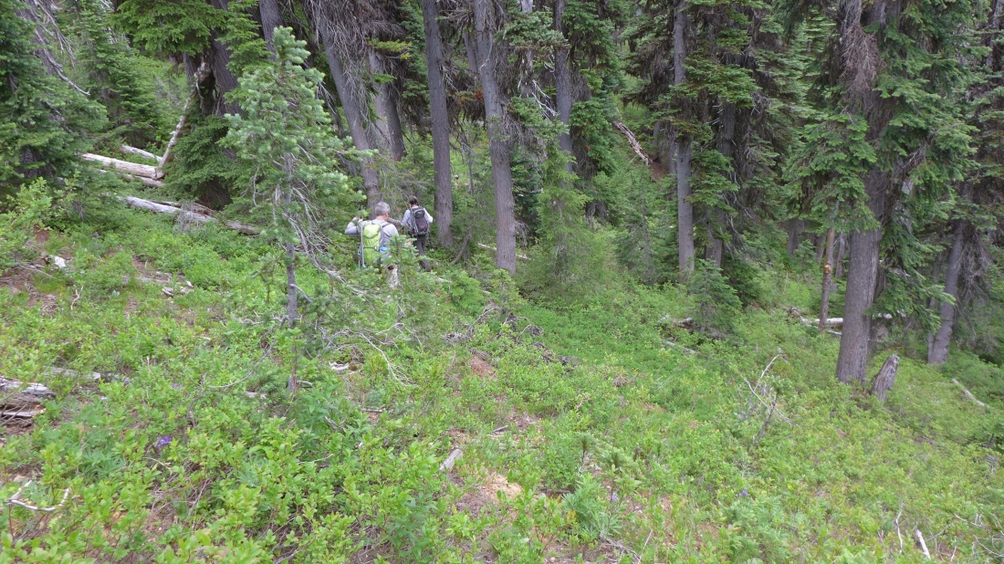
We didn't hike very far before crossing into the Alpine Lakes Wilderness.
|
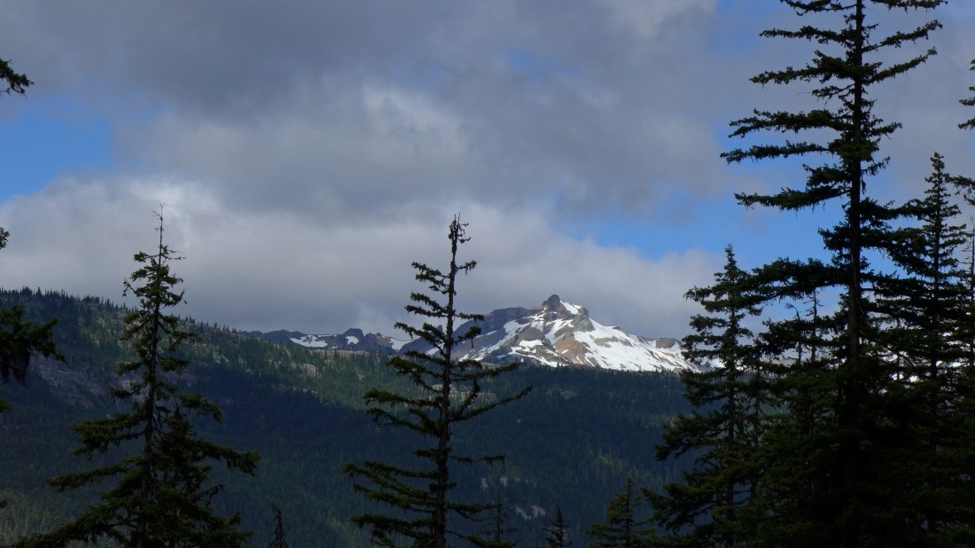
Hiking the fairly steep Paddy Go Easy Pass Trail and looking across the valley to The Citadel.
|
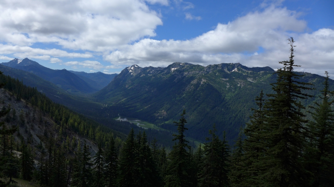
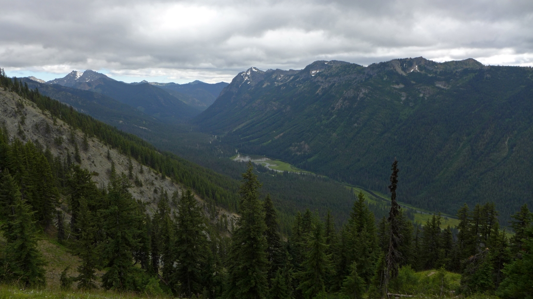
Still on the trail... looking down on Tucquala Lake sitting below Goat Mountain... Hawkins Thimble and Hawkins Mountain on the far left.
|
At ~5300 feet the trail switchbacks to hikers left... this is where the good path leaves the main trail and goes to hikers right toward Point 6566 (aka Paddy Go South)... the path doesn't lead all the way to the peak, but it provides a good start... however, we will continue on the main trail toward Paddy Go Easy Pass.
|
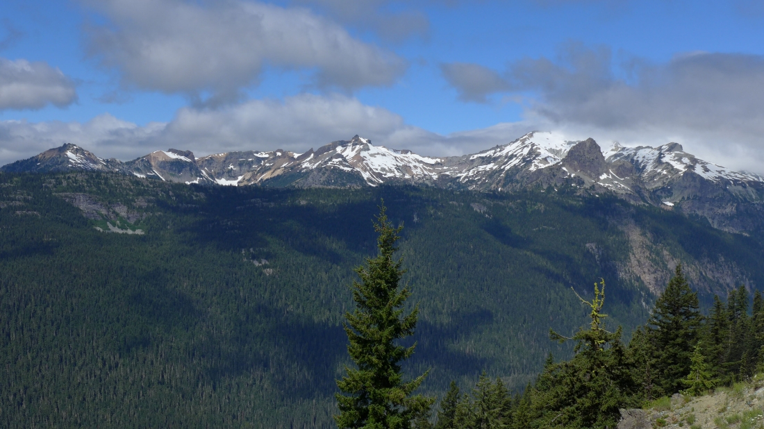
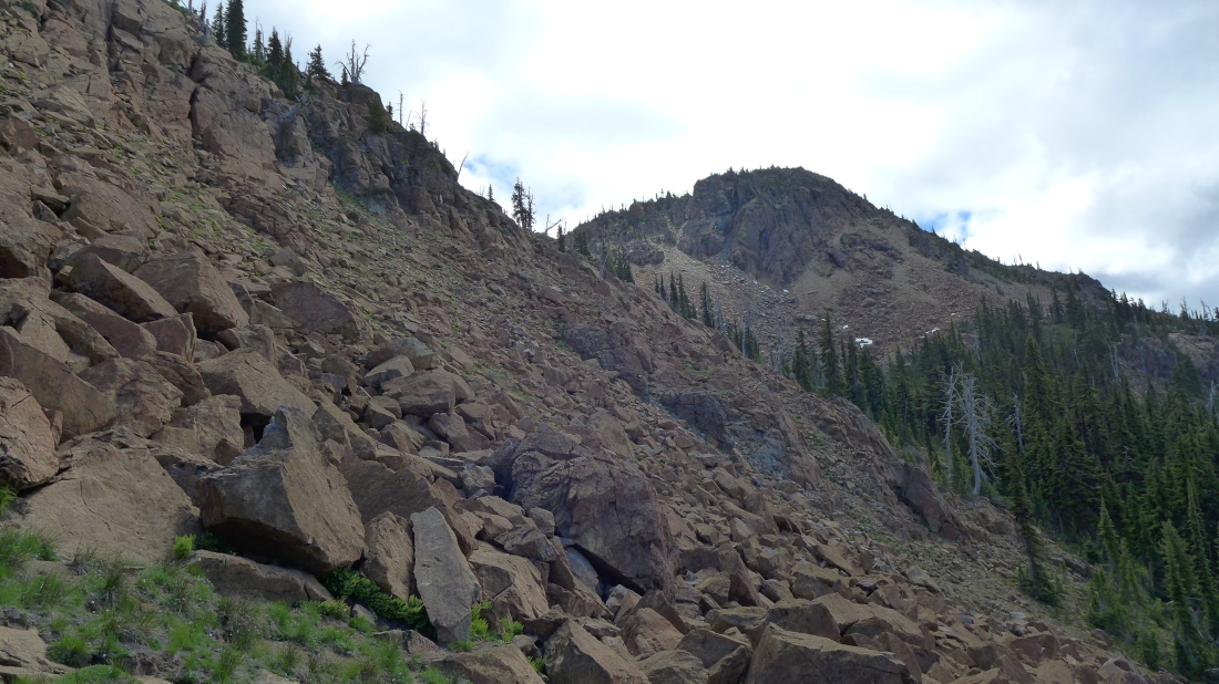
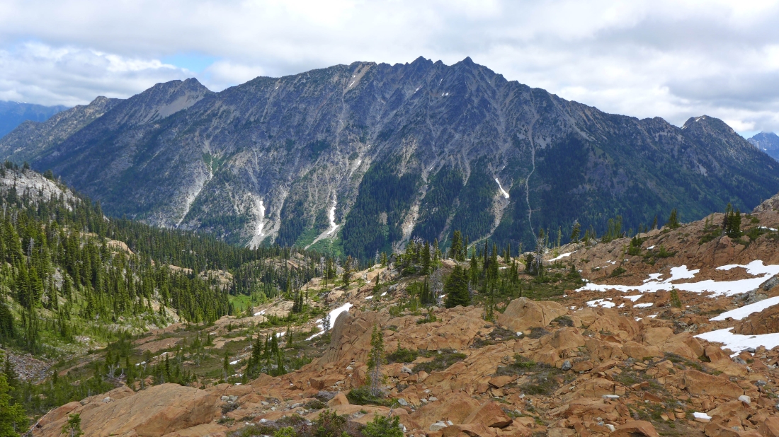
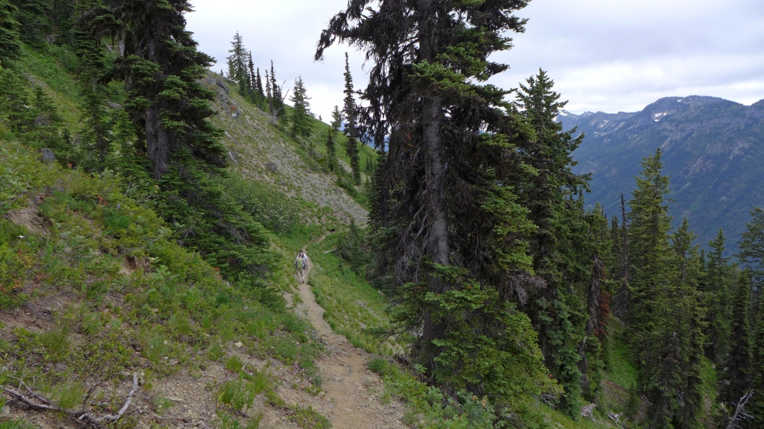
Gaining elevation on the Paddy Go Easy Pass Trail... looking across the valley to The Citadel in the center of the photo... with Cathedral Rock in front of a cloud covered Mt. Daniel on the right.
|
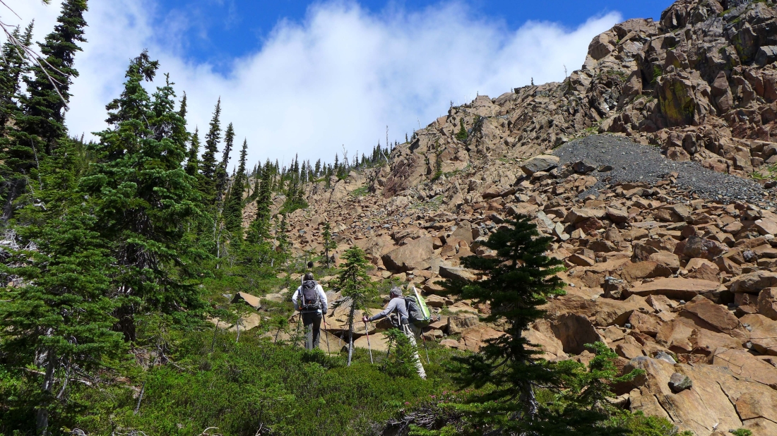
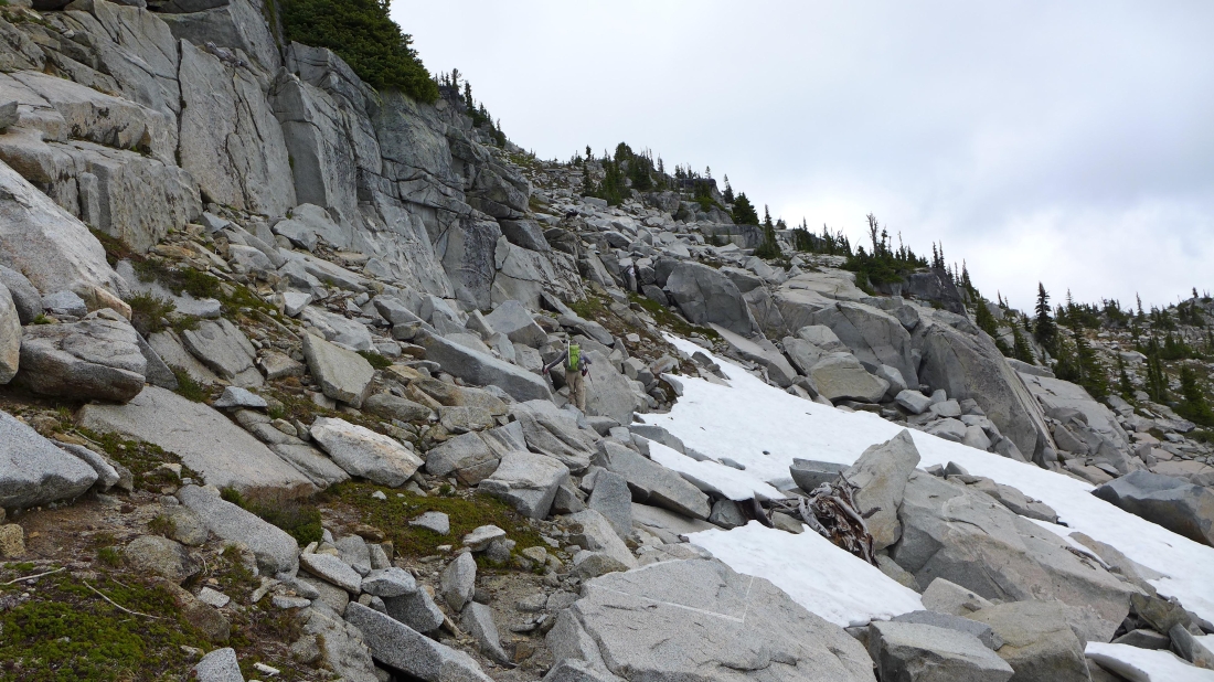
After hiking ~2.5 miles on the trail, we left the main trail and headed cross-country at ~5720 feet... on our return trip we realized that it would have been much better to have left the trail at ~5600 feet.
|
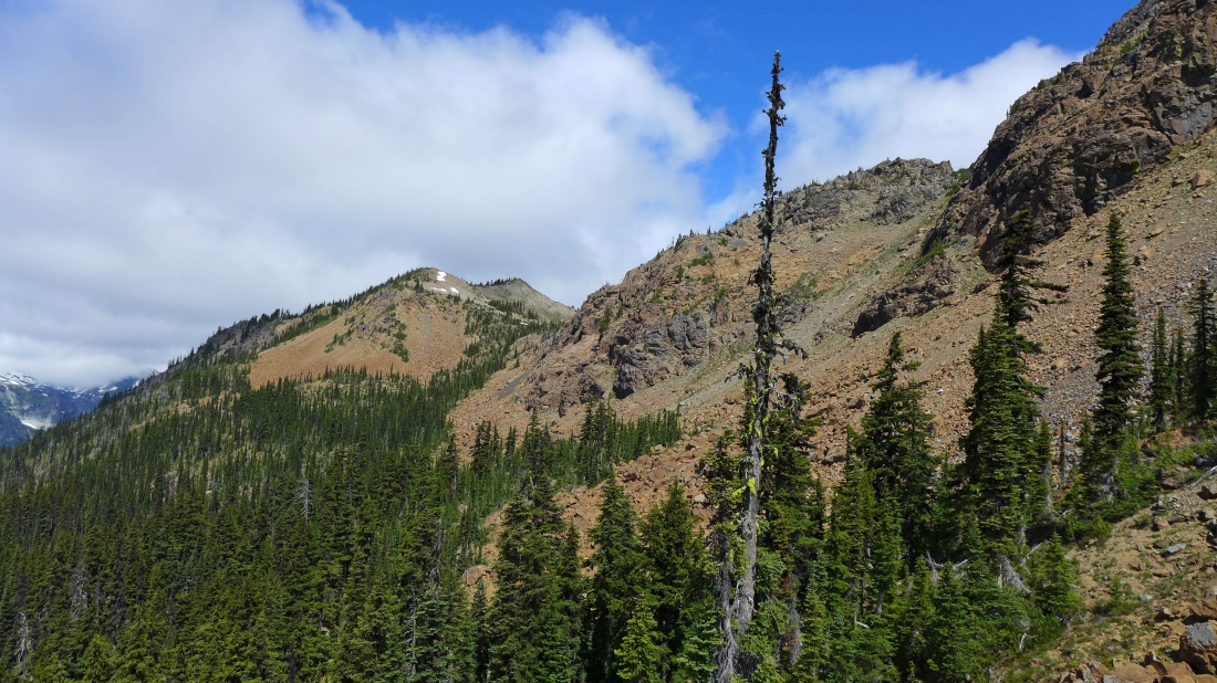
Off trail now and traversing below the rocks on the west side of Point 6573 (aka Paddy Go North)... Paddy Go Easy Pass goes through the gap in the center of the photo.
|
Still traversing below the rocks on the west side of Point 6573... heading for the 6200 foot saddle (center of photo) between points 6573 and 6564.
|
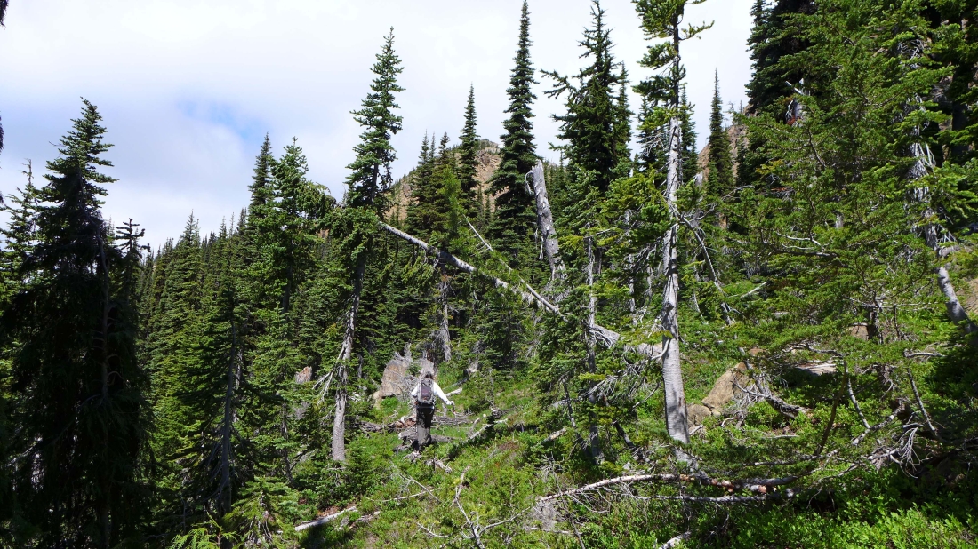
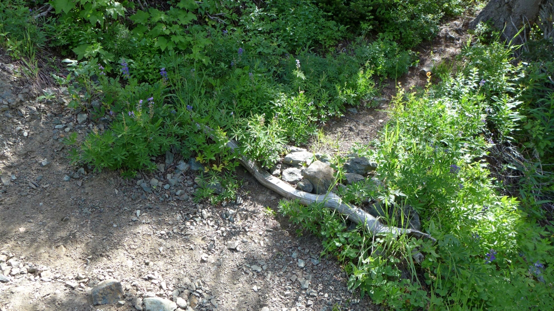
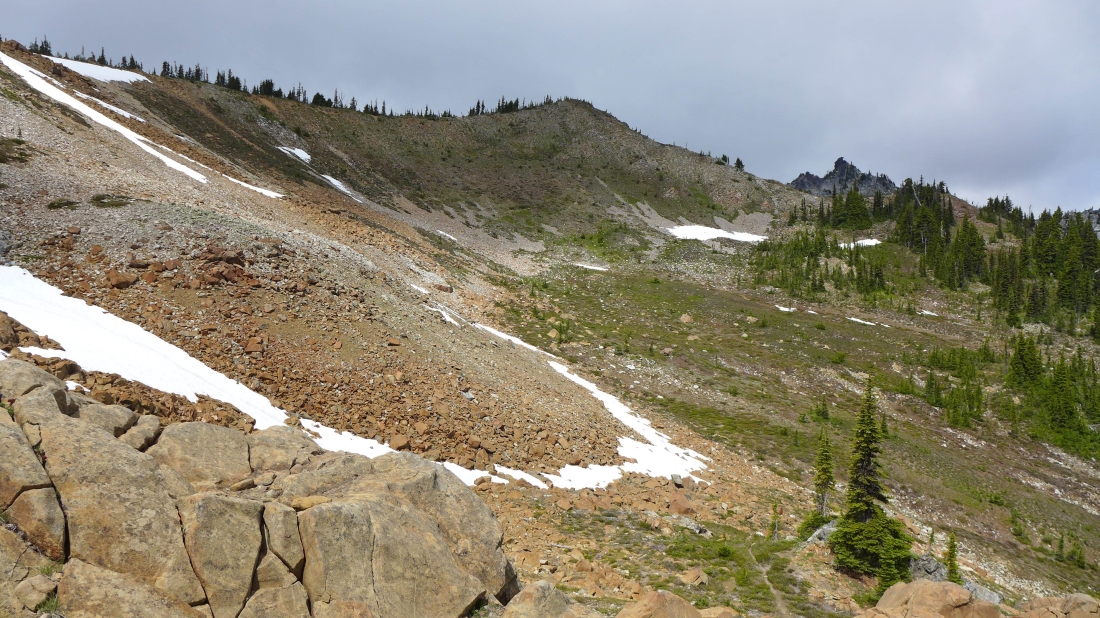
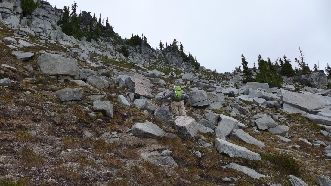
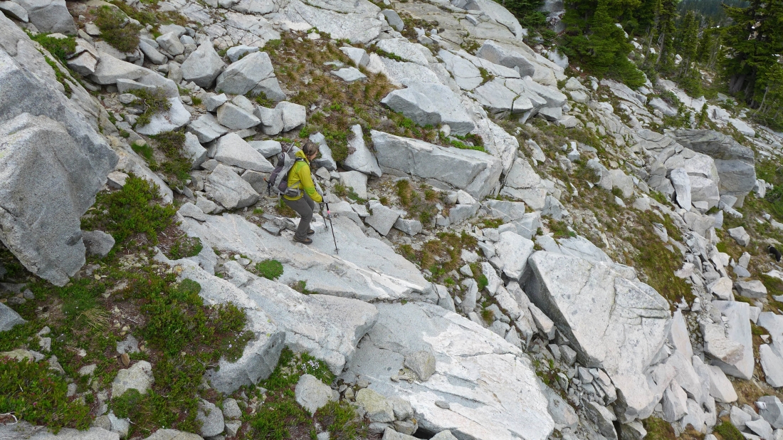
The cross-country travel was fairly easy... not what I would call brushy.
|
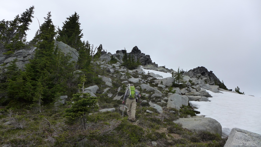
We have finished traversing underneath the rocks on the west side of Point 6573... and now we can see the 6200 foot saddle above on the left.
|
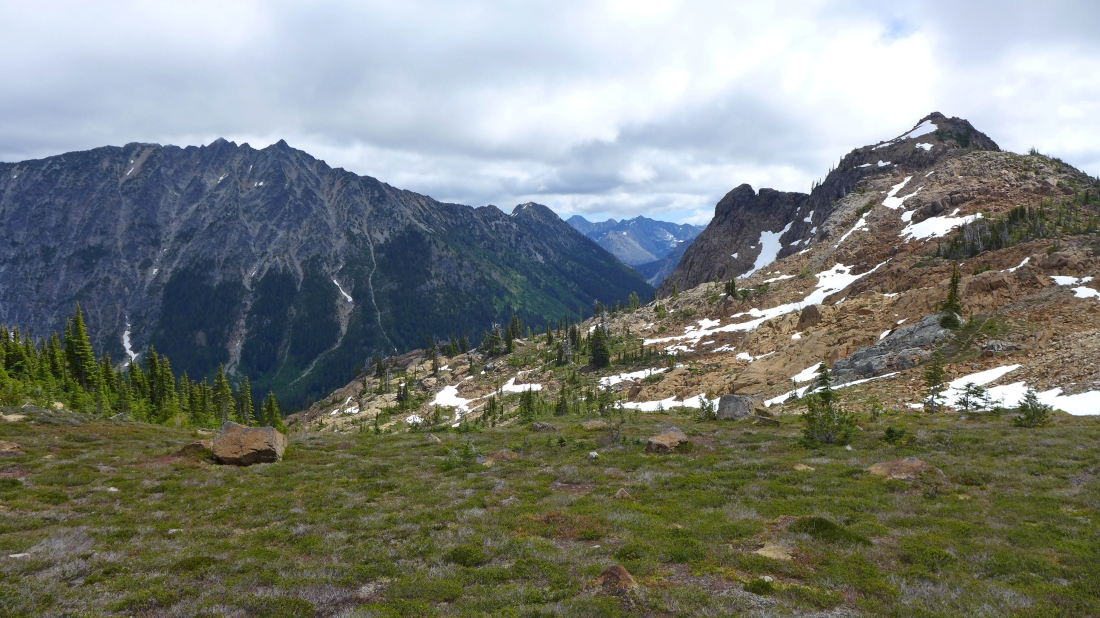
We have reached the 6200 foot saddle... Paddy Go North on the right... with The Cradle across the valley on the left.
|
The Cradle from the saddle at 6200 feet... with Nursery Peak the little bump on the far right.
|
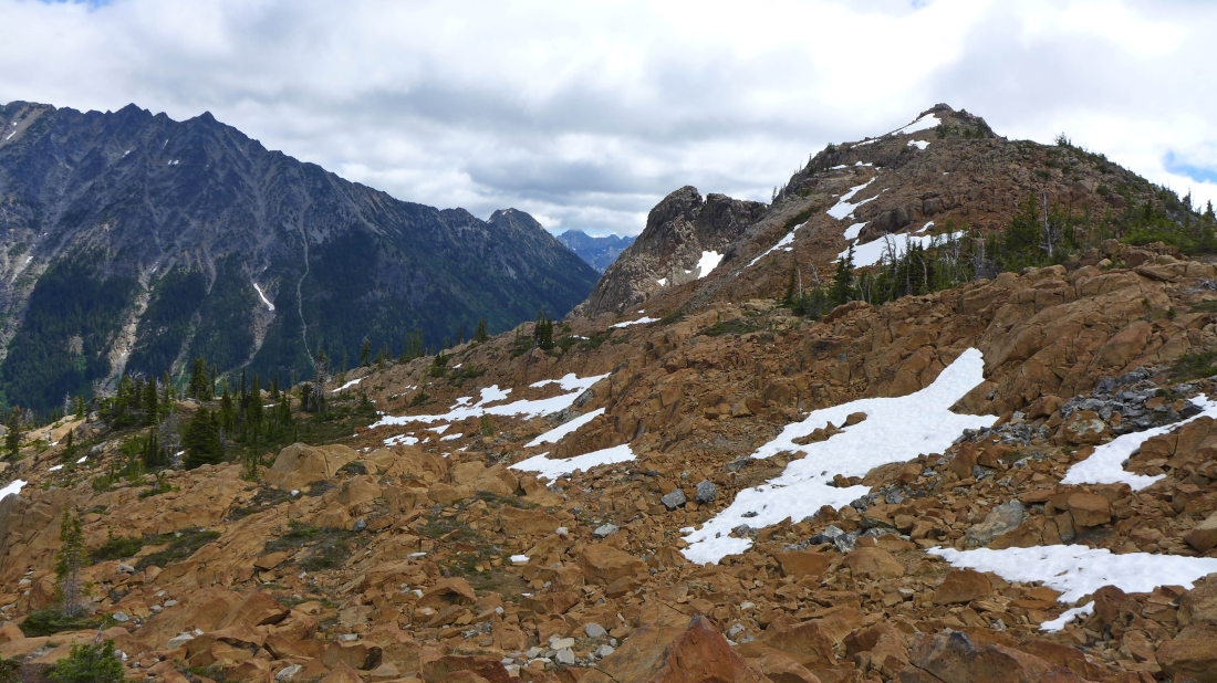
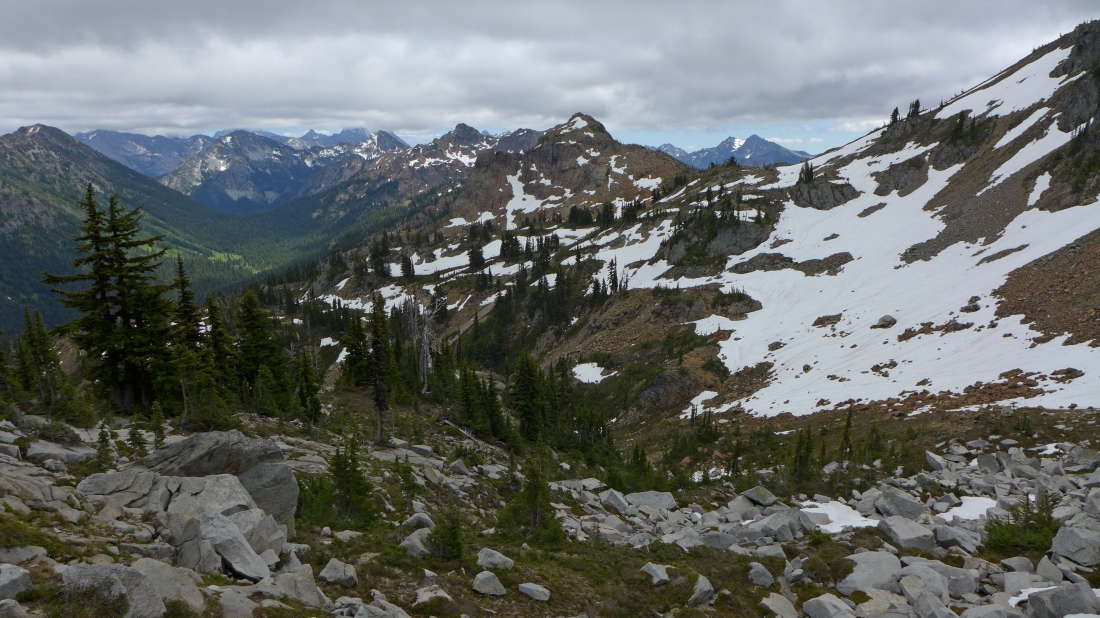
Just above the 6200 foot saddle... with Point 6564 in the center of the photo... and we can see the top of Sherpani Peak in the distance on the right.
|
Traversing on the east side of Point 6564... looking back at Paddy Go North and The Cradle.
|
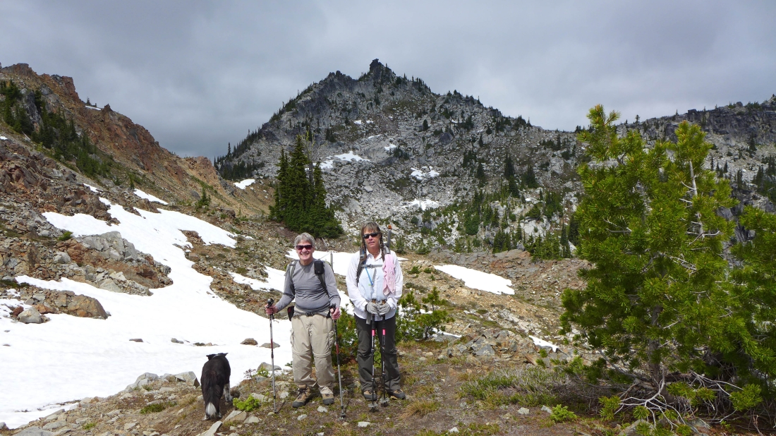
Below Point 6564 now... where we got a better look at Sherpani Peak.
|
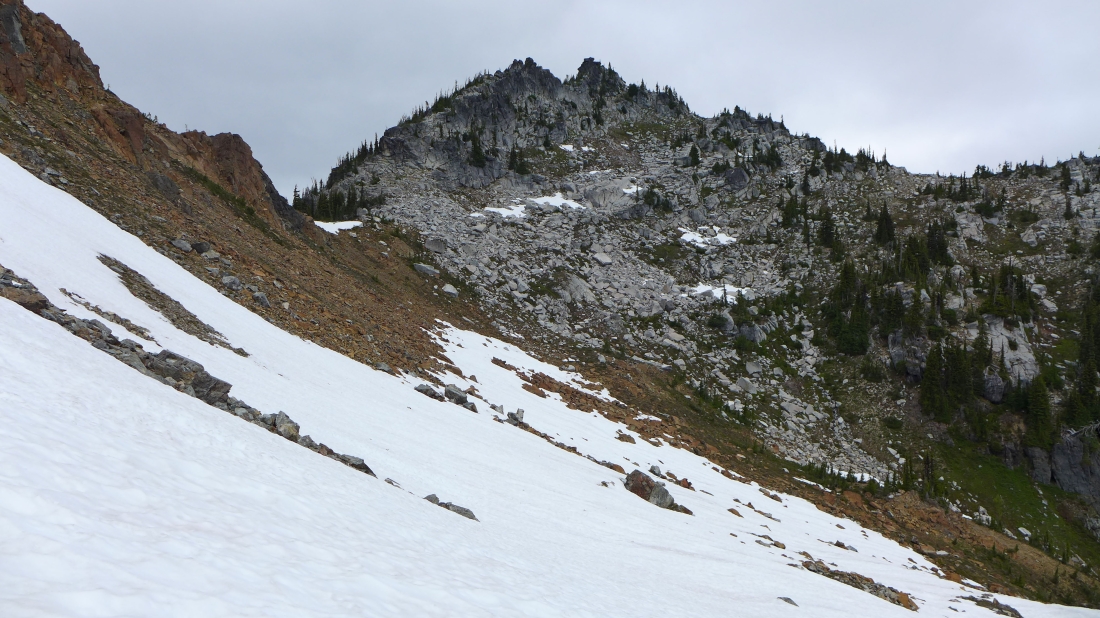
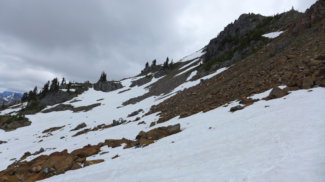
We will use the snow as much as possible to aid our travel over to the gray rocks below Sherpani.
|
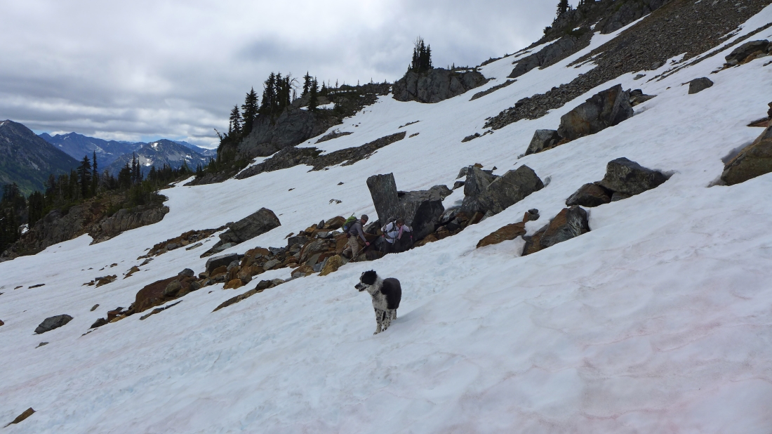
Looking back and watching Izzy, rodman and Snowdog as they use the snow below Point 6564.
|
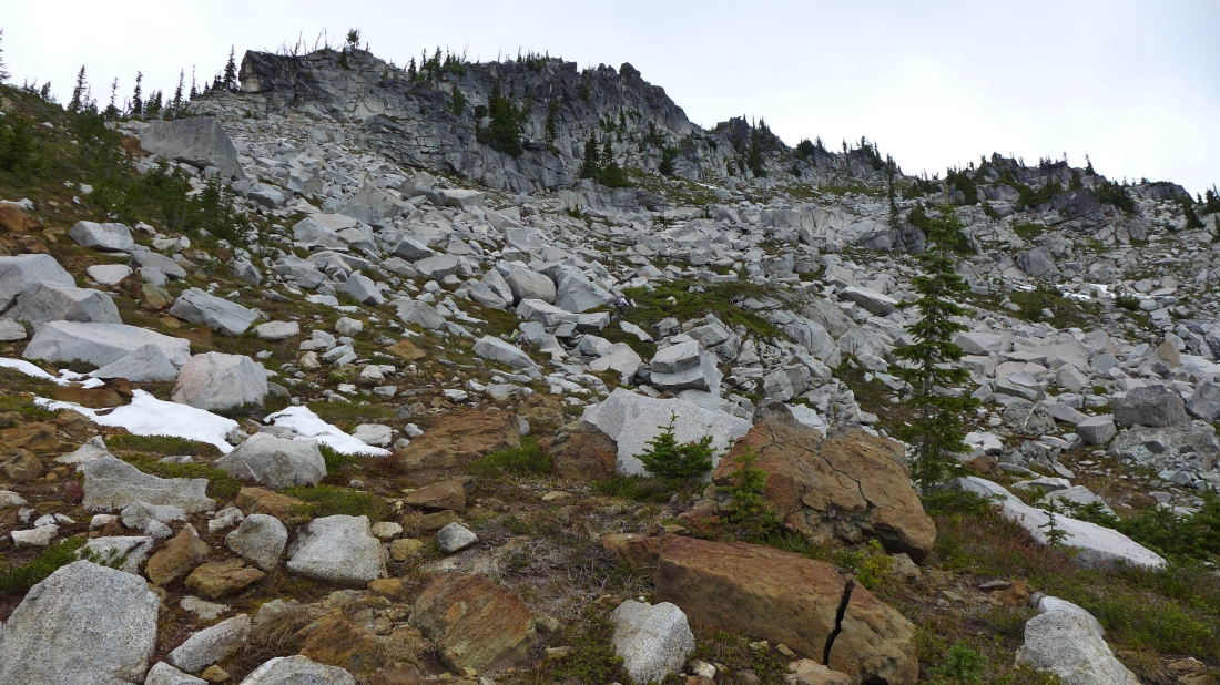
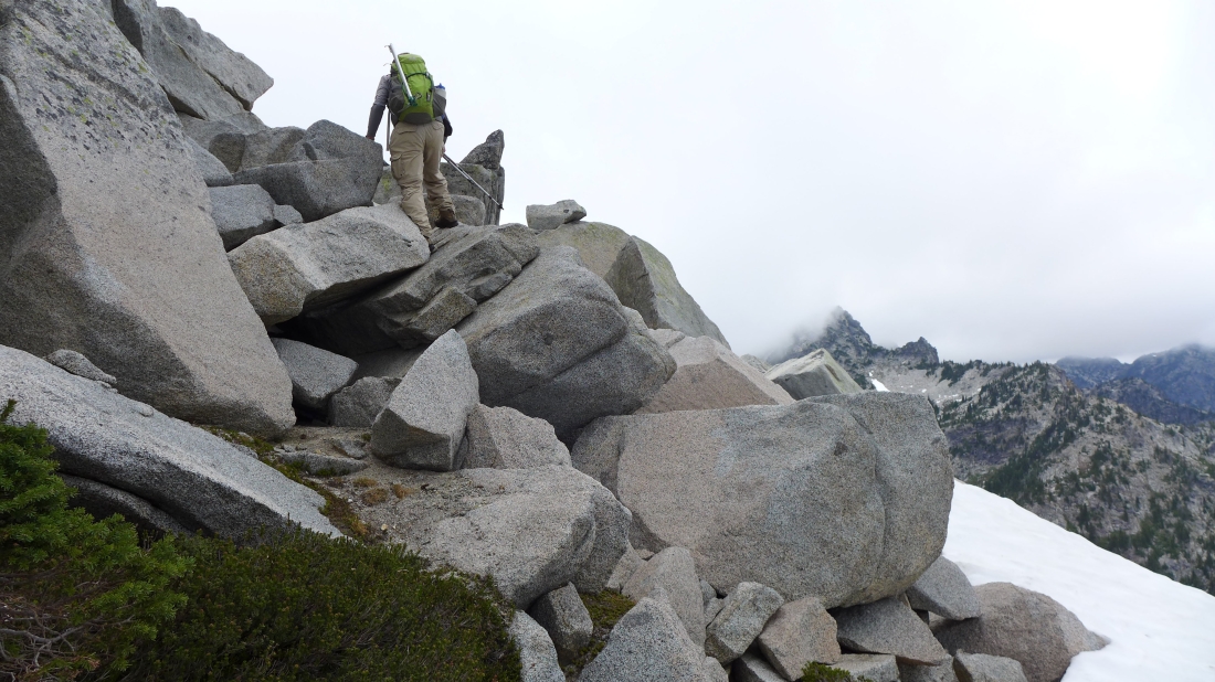
Done with the snow for now... and working our way up to Sherpani's east ridge on the right.
|
Still heading for Sherpani's east ridge.
|
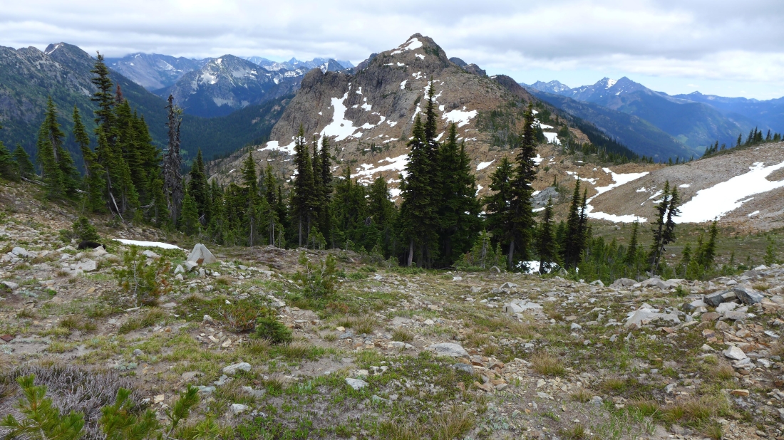
A pano from ~6400 feet... showing our approximate route from the 6200 foot saddle... underneath Point 6564 and over to where I took the photo... the Sherpani summit is only 320 feet above us.
|
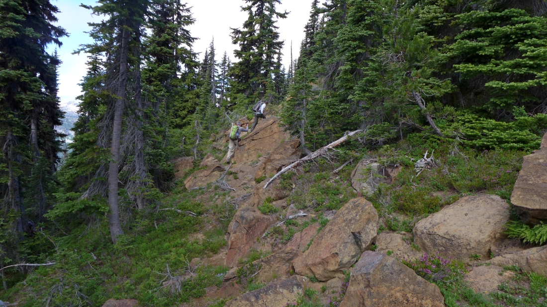
Almost on Sherpani's east ridge.
|
On Sherpain's east ridge now... with the summit block directly above.
|
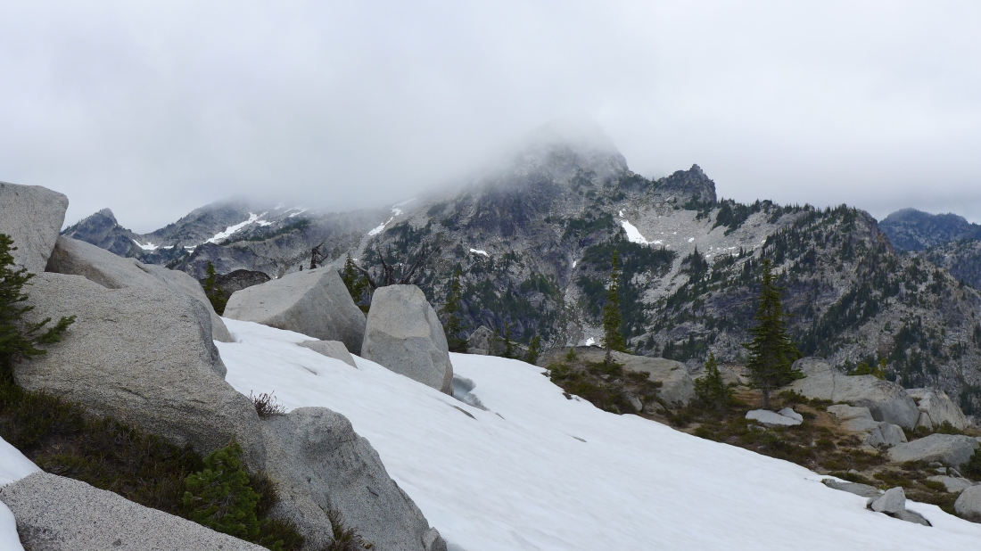
From the east ridge of Sherpani we are looking at the clouds surrounding the south summit of Granite Mountain.
|
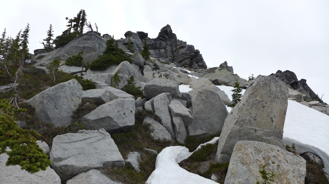
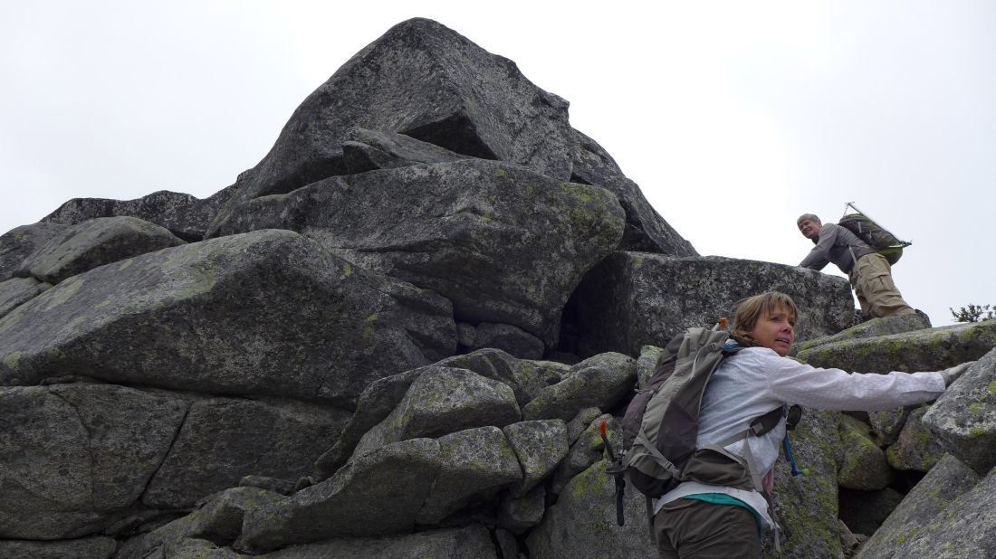
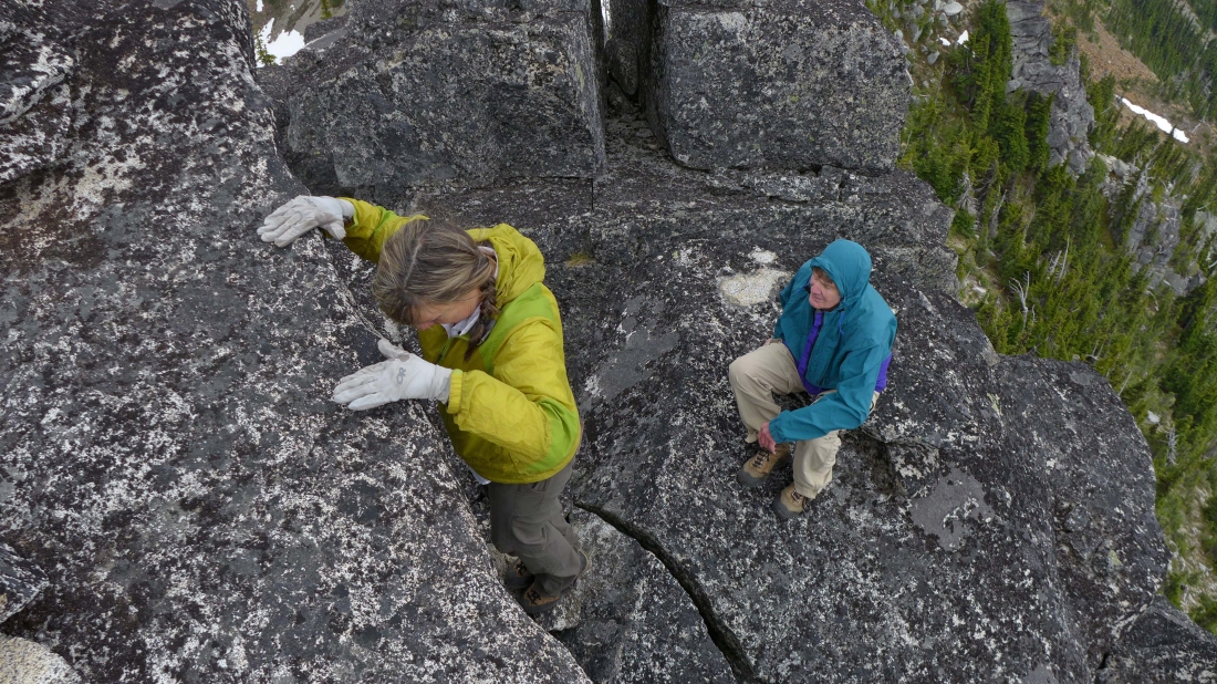
Continuing up toward Sherpani's summit block... someone over on the left with a pink handkerchief has gone the wrong way... the best way to reach the summit is to stay to the right... taking a counter clockwise corkscrew route to the west side of the summit.
|
Nearing Sherpain's summit block.
|

We have reached Sherpani's summit block... time to go counter clockwise... on the far right.
|
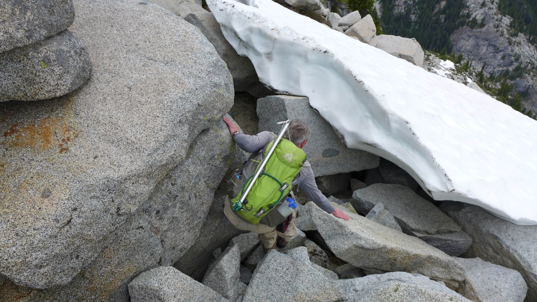
Dealing with a small patch of snow on the north side of the summit.
|
Well... la-di-da, la-di-da... having fun scrambling the north side of Sherpani... as we corkscrew our way around the summit block.
|
Having fun and more fun.
|
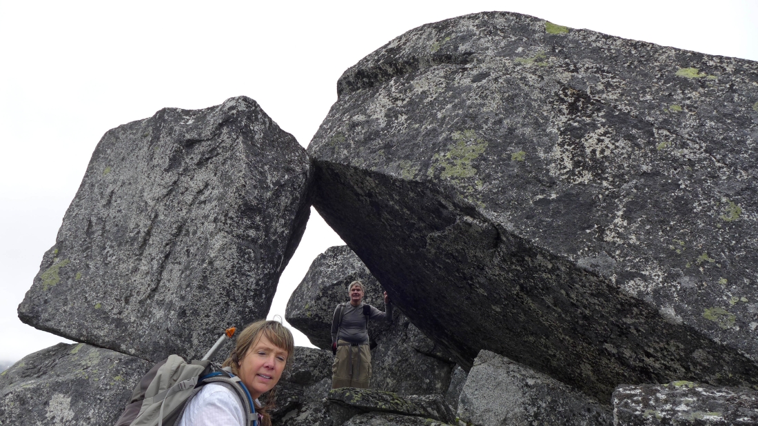
Going through the granite keyhole... you might be off the standard route unless you find the keyhole just below the summit.
|
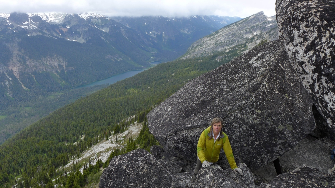
Snowdog has just come through the keyhole and onto the west side of the summit... Hyas Lake is in the valley below.
|
Just below the Sherpani summit (6720+).
|
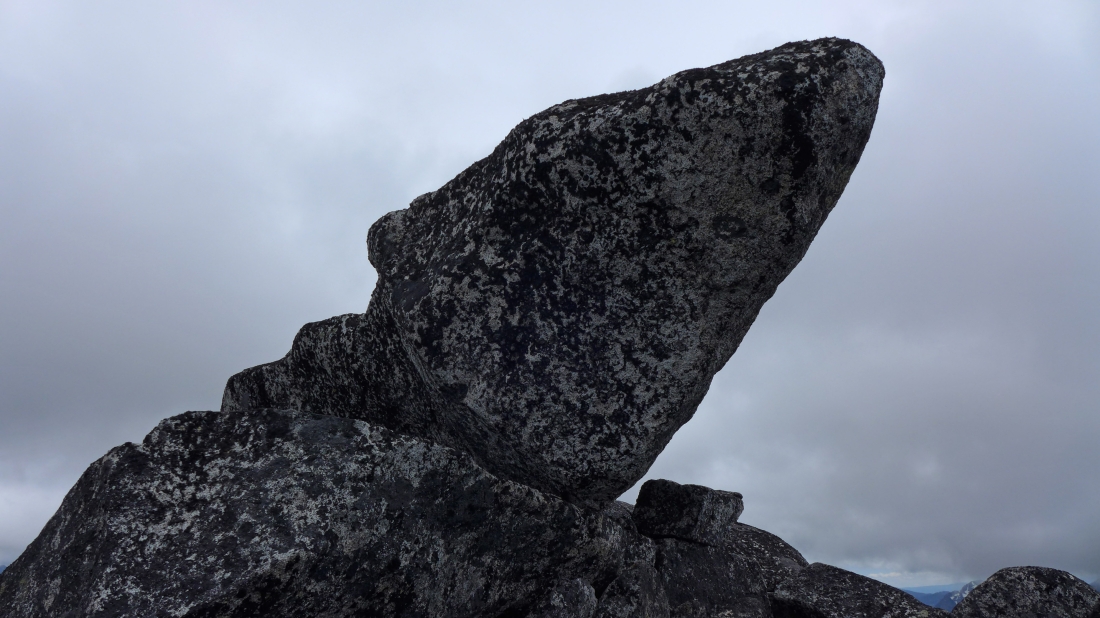
Snowdog prepares to make the final two moves up to the Sherpani Peak summit... a bit awkward here... at least Class 3 coming up and Class 4 going down.
|
On the Sherpani summit here... looking NW to the south summit of Granite Mountain... and a cloud covered north summit.
|
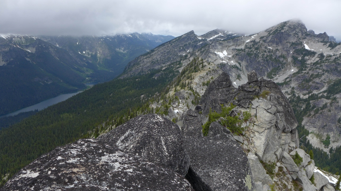
Looking SE from the Sherpani Peak summit... with Paddy Go North in the right foreground... and The Cradle in the left foreground.
|
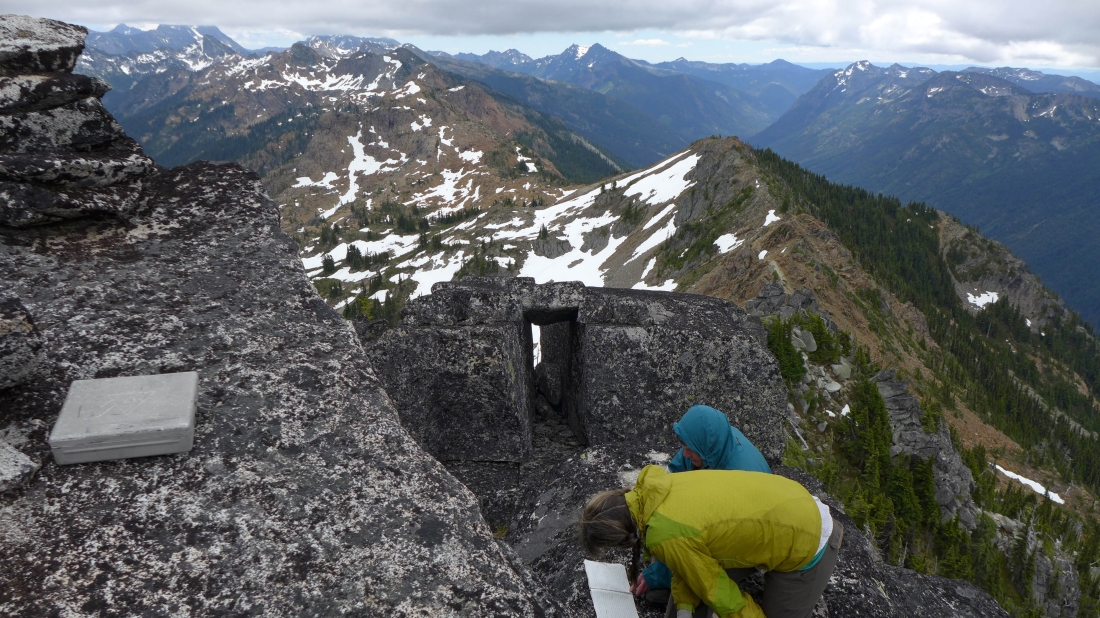
I'm on the summit with the summit register container... watching Snowdog and rodman reading the summit register.
|
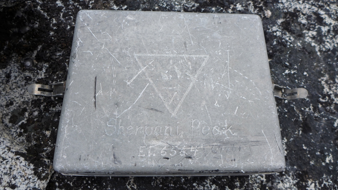
I believe this is the register container that was originally placed in 1949 by the Prater brothers (Gene and Bill).
|
Gene Prater returned to this summit in 1992 and placed the current register because the old register was deteriorating. This photo was taken in July, 2008 when I made my first visit to the peak.
|
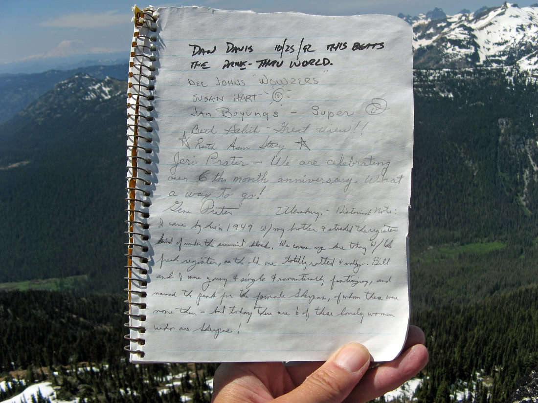
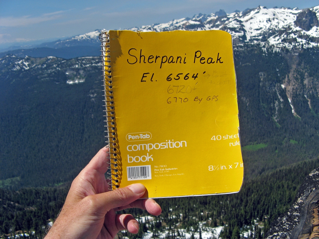
This July 2008 photo shows the first page of the current summit register... and gives a bit of history on how the Prater brothers decided to name the peak.
|
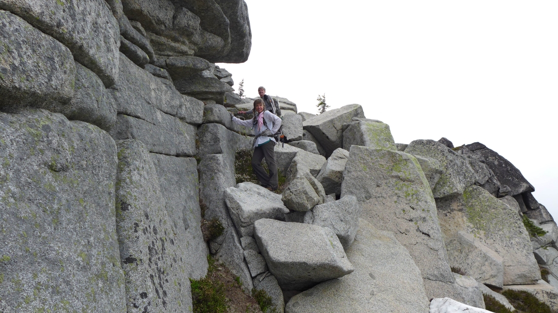
Heading back to the car we found a bit more friendly route to get from the east ridge of Sherpani over to the east side of Point 6564.
|
The snowfield on the east side of Point 6564 that will aid our travel back to the 6200 foot saddle.
|
Traveling along the snowfield on the east side of Point 6564.
|
The 6200 foot saddle is on the right... with Paddy Go North in the center foreground.
|
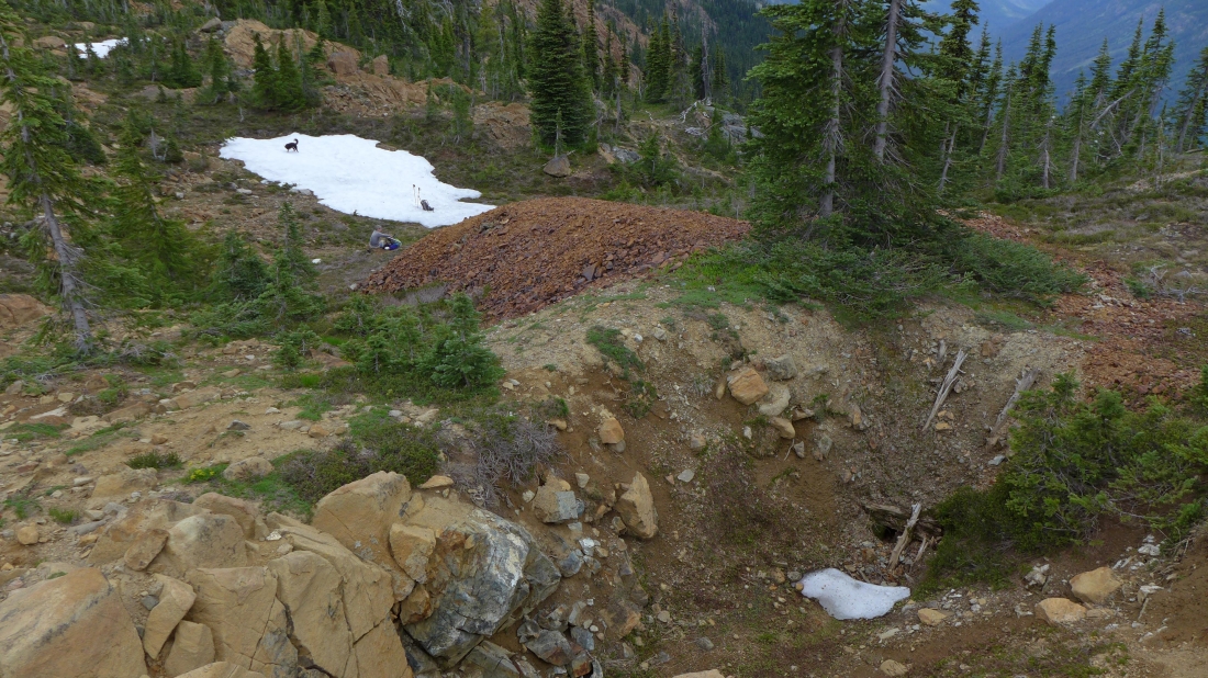
Taking a break on the west side of the 6200 foot saddle... an old mine shaft (lower right) and some of the tailings that came out of it.
|
Traversing back along the west side of Point 6573 and looking for the Paddy Go Easy Pass Trail.
|
We found the trail at ~5600 feet... less than a 2.5 mile hike back to the car.
|
Tucquala Lake, Goat Mountain (right) and Hawkins Mountain (far left) from the Paddy Go Easy Pass Trail.
|
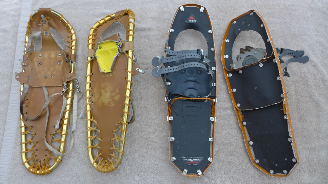
The Prater's company (Sherpa Design) made the pair of snowshoes on the left that I bought in the early 80's... they were the first to develop these lightweight, metal-frame snowshoes... the shoes on the right were made by MSR... showing what 30 years of technology can do.
|
