Nursery Peak and Paddy Go North - 8.6.2016
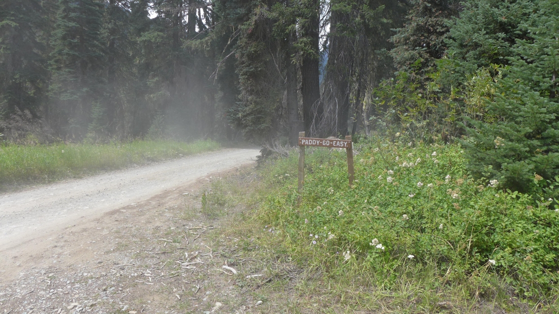
Drive the unpaved FS-4330 for 11.3 miles to the trailhead for Paddy Go Easy Pass Trail #1595.1 and park at ~3380 feet... another mile or so up 4330 gets you to the end of the road and a place to start your hike to places like Peggys Pond, Deception Pass and Robin Lakes.
|
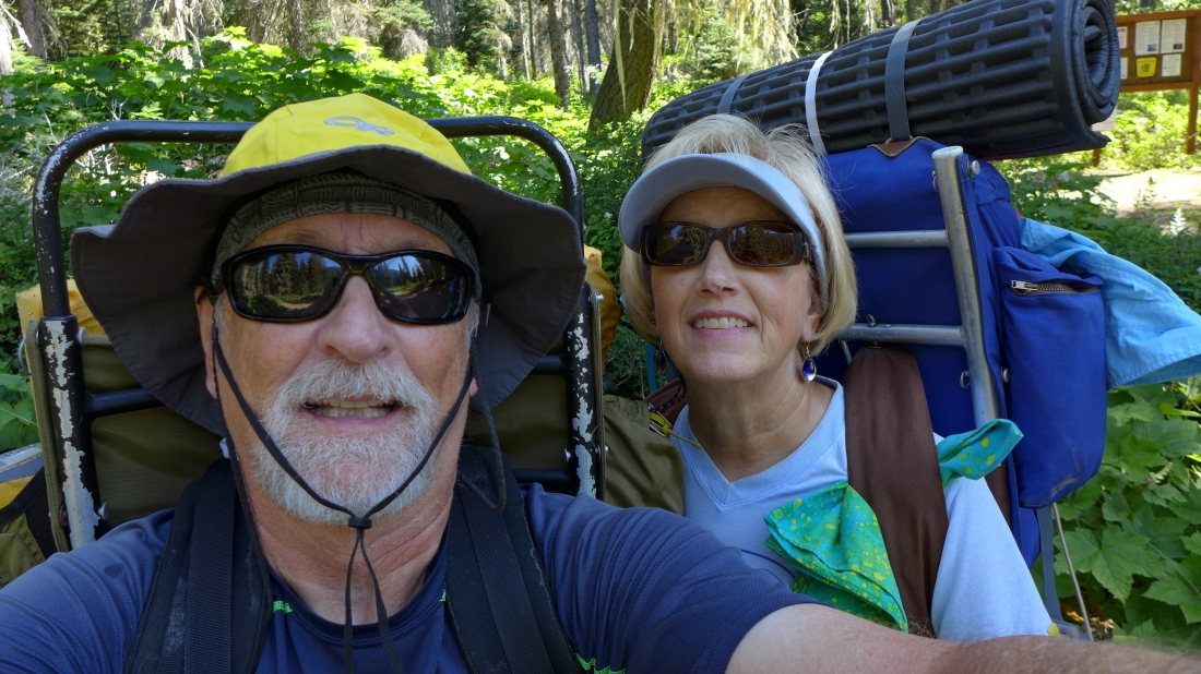
Backpacking on our 42nd anniversary... a two nighter... tagging two summits... the total trip was ~17 miles, gaining 7268 feet of elevation.
|
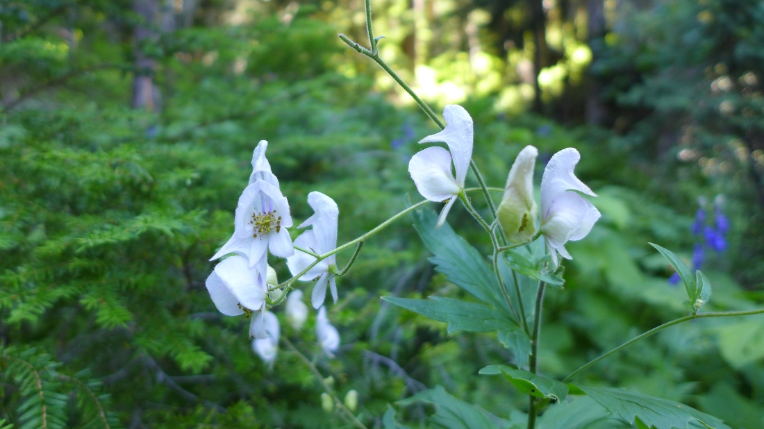
Monk's Hood... not sure that I've ever seen a white one.
|
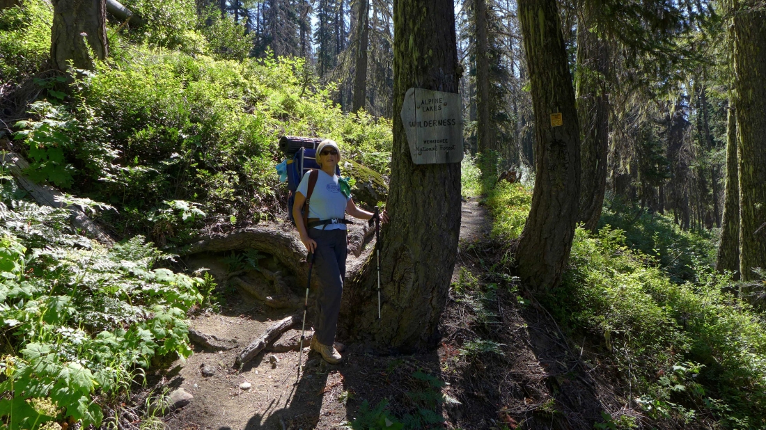
After hiking a short distance we enter the Alpine Lakes Wilderness.
|
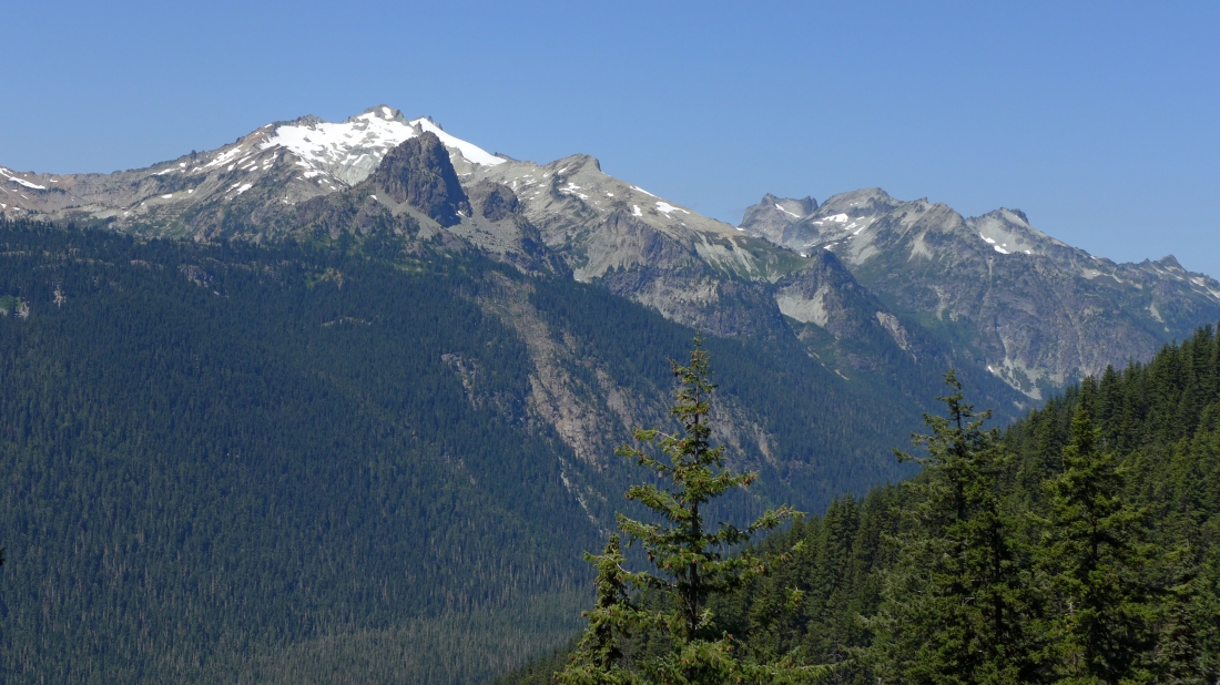
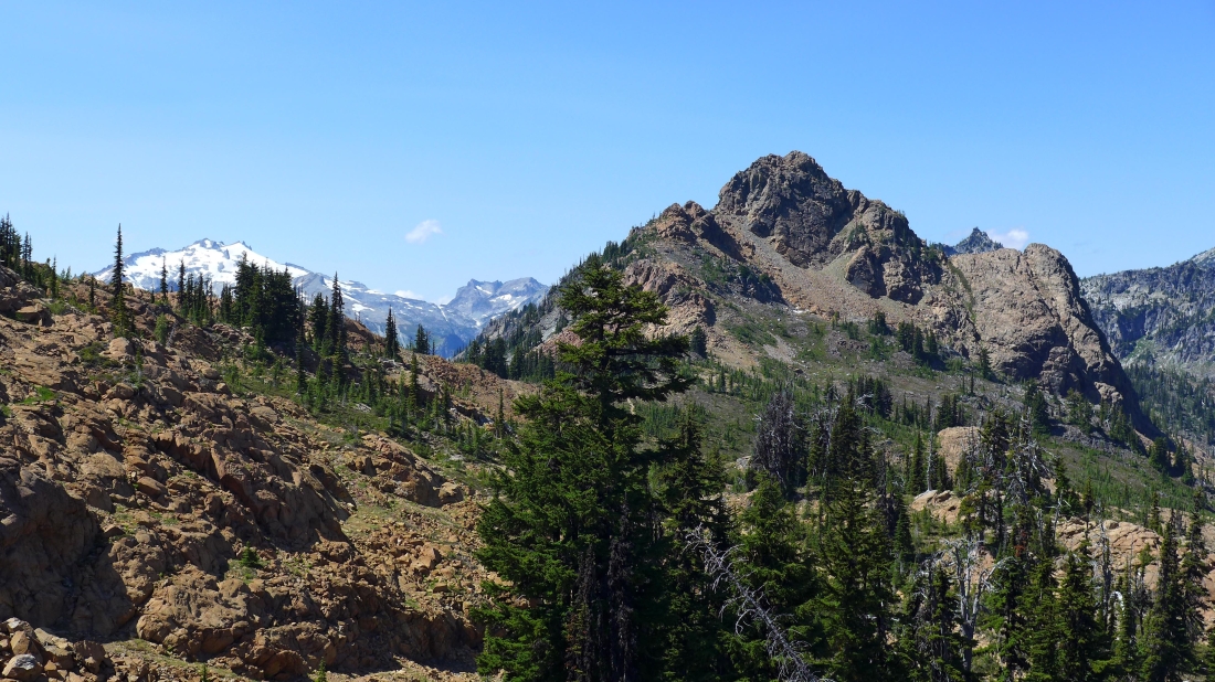
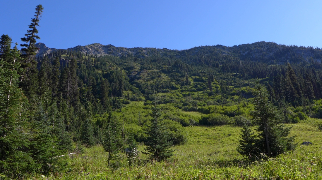
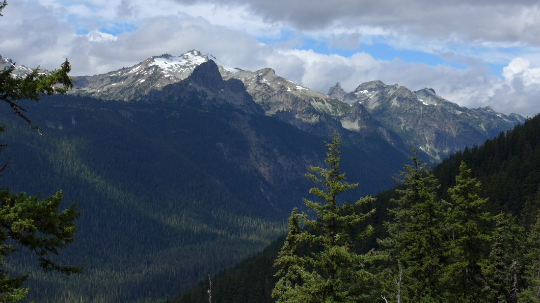
After hiking a couple miles we got this view of Cathedral Rock in front of Mt. Daniel on the left... with Dip Top Peak and Lynch Peak on the right.
|
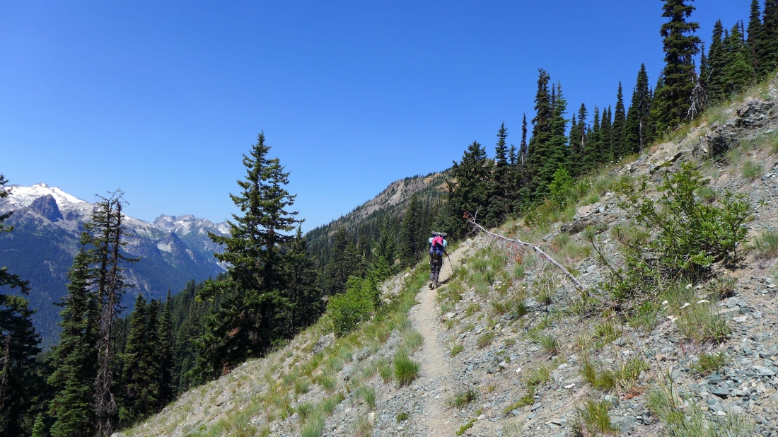
Switchbacking our way up to Paddy Go Easy Pass.
|
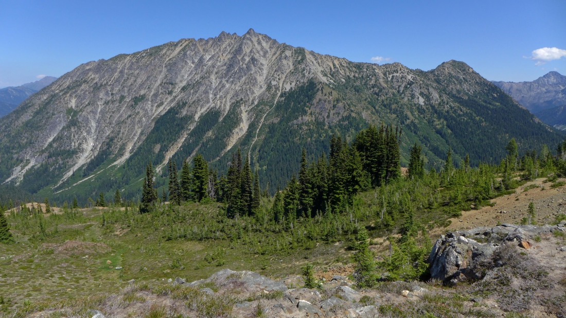
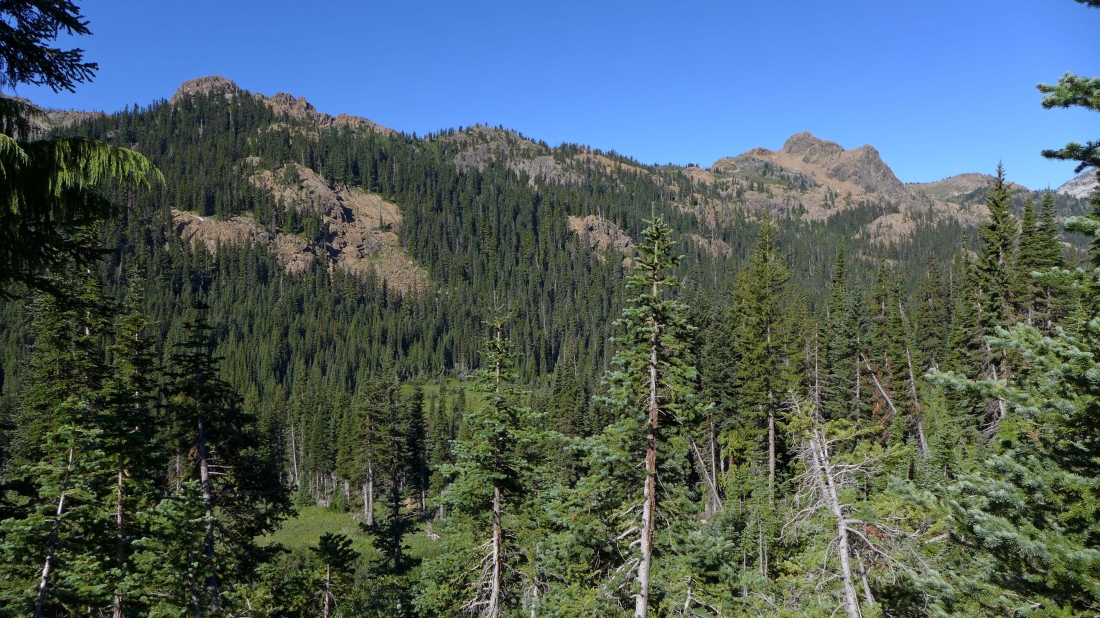
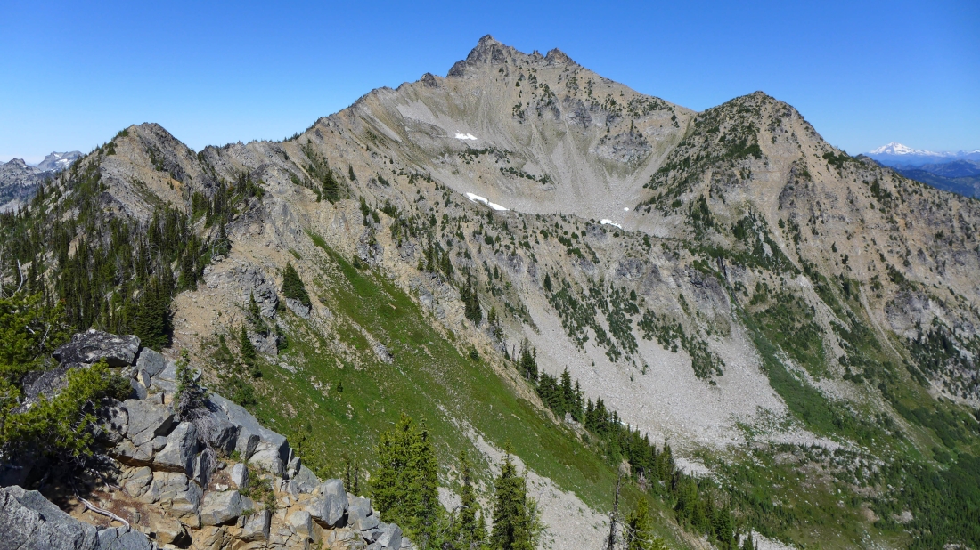
The Cradle (center) and Nursery Peak greet us on our arrival at Paddy Go Easy Pass (~6100')... Eightmile Mountain is on the right edge of the photo.
|
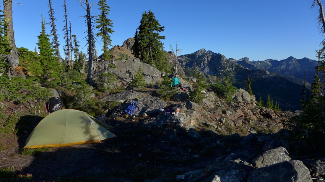
From Paddy Go Easy Pass we will hike a quarter mile or so SE and set up our camp above Sprite Lake.
|
Heading for our camp and looking back across Paddy Go Easy Pass to Mt. Daniel, Dip Top Peak and Lynch Peak... with Paddy Go North in the foreground.
|
Tomorrow I will day hike to Nursery Peak.
|
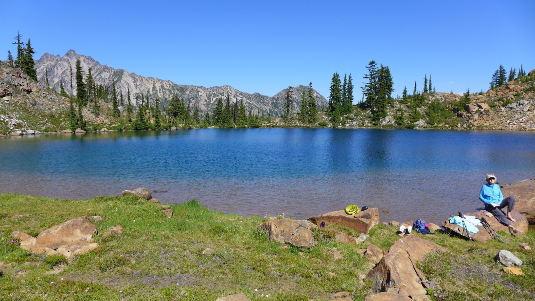
Relaxing at Sprite Lake.
|
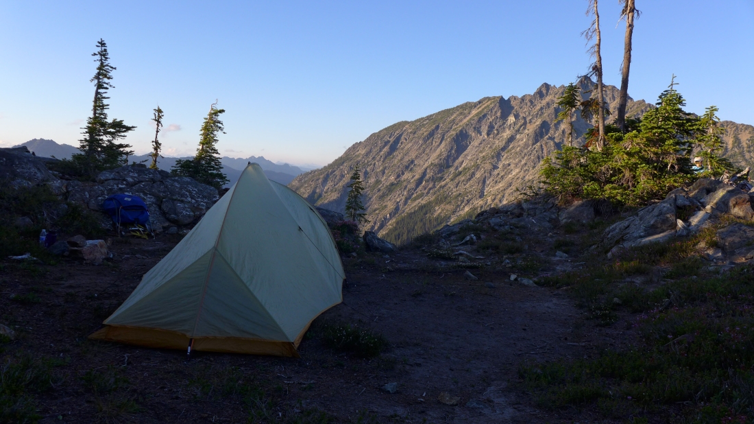
A nice campsite... ~200 feet above Sprite Lake... The Cradle is across the valley.
|
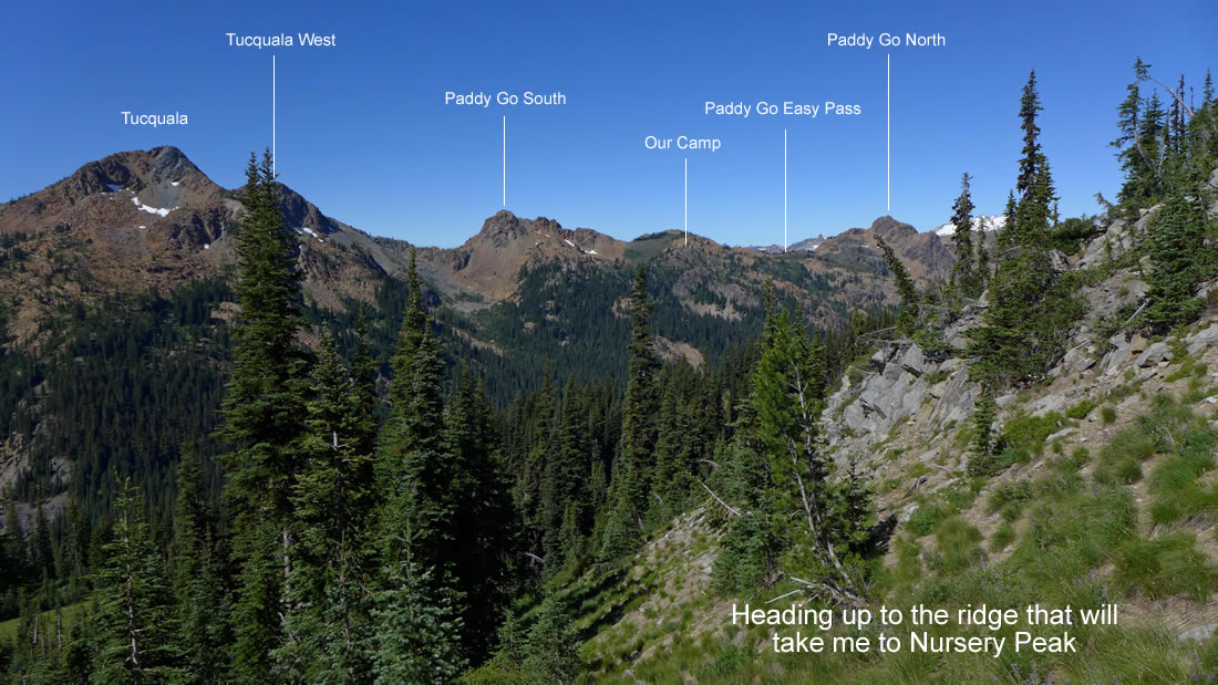
Looking down on Sprite Lake from our camp... Tucquala Peak and Tucquala West are on the left... with Paddy Go South on the right.
|
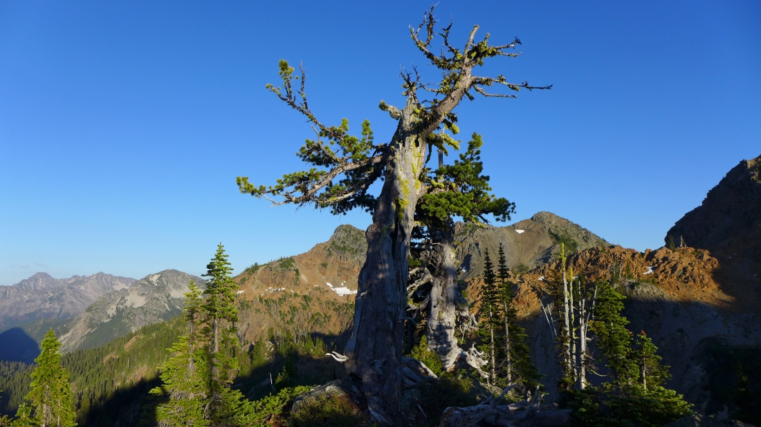
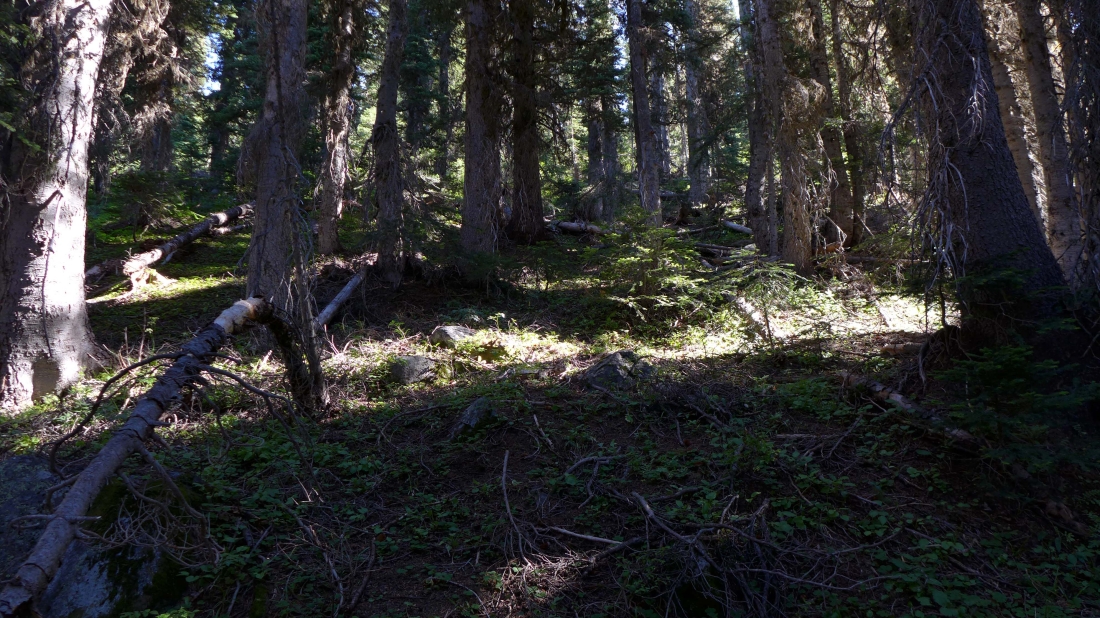
A couple of old timers near our camp.
|
Denali Girl chatting with tomman, Anita and Big Steve... with Tucquala and Tucquala West in the distance.
|
The Cradle from our camp as dusk approaches.
|
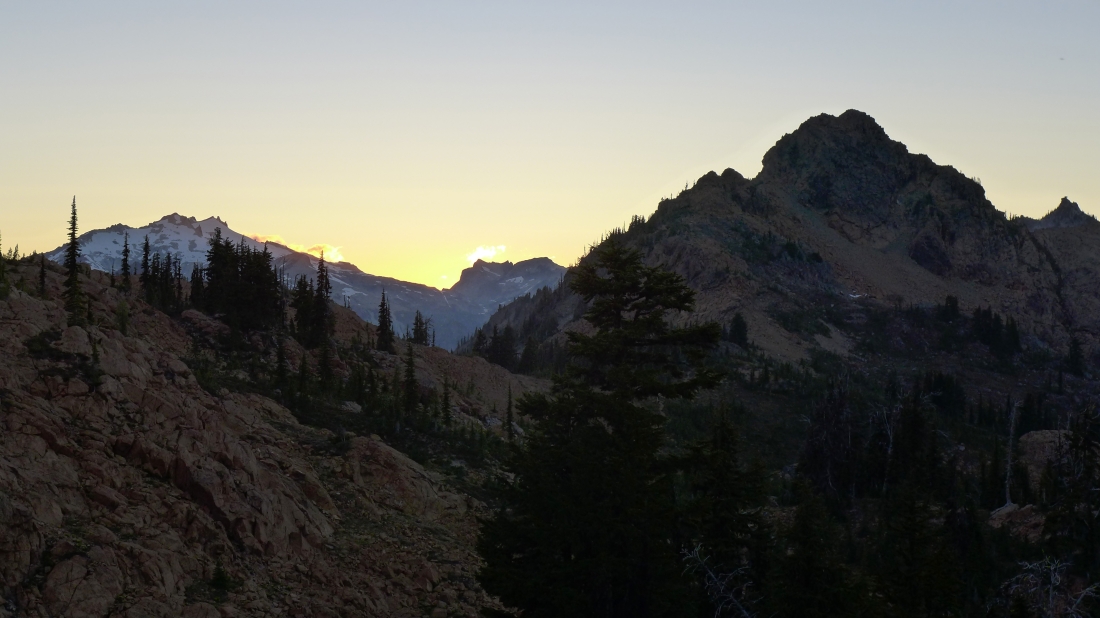
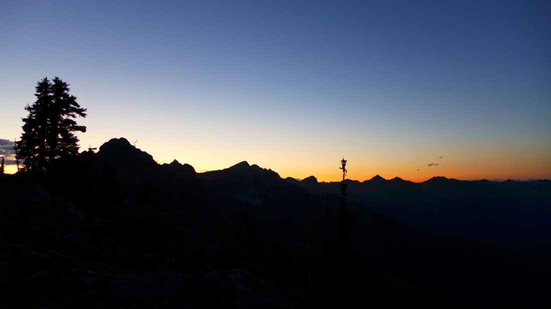
Sunset from camp... looking across Paddy Go Easy Pass to Mt. Daniel, Dip Top Peak and Lynch Peak... with Paddy Go North in the right foreground.
|
We woke to another beautiful day... with French Ridge in the distance on the right... I'm going to head for Nursery Peak.
|
On my way down to French Creek... looking up where we are camped... I will have to give up 1300 feet of elevation to get over to Nursery Peak... and oh joy... I will get to regain the elevation at the end of the day to get back to camp.
|
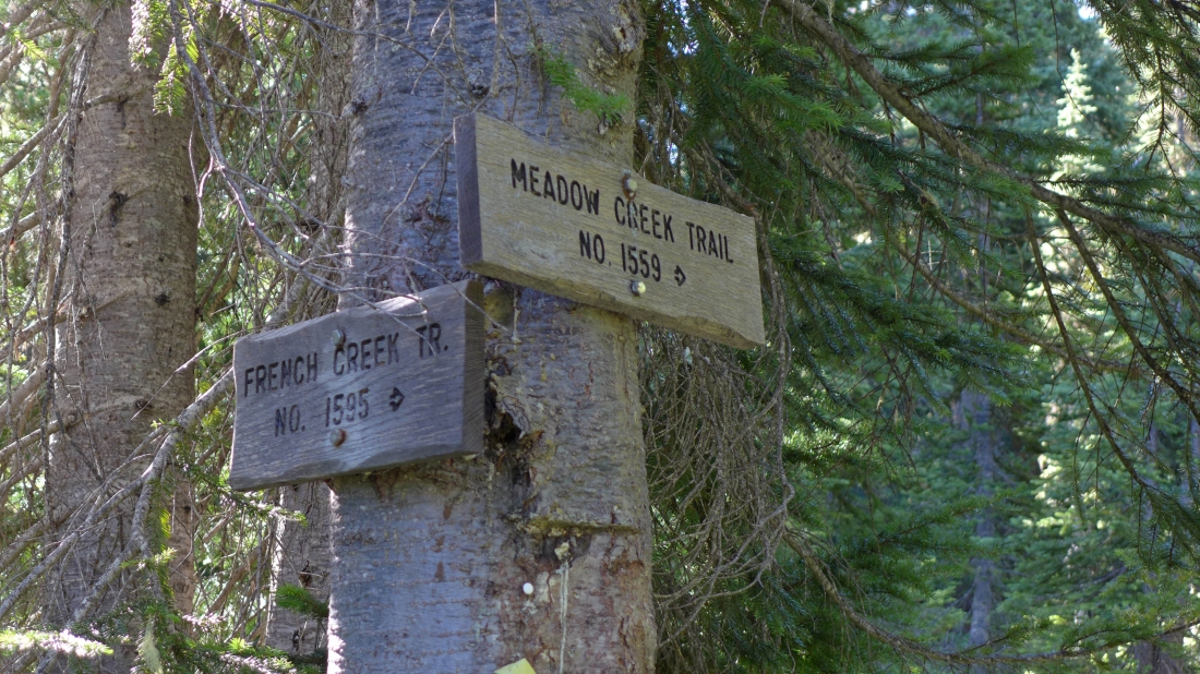
I've given up the 1300 feet of elevation... and reached the junction of the French Creek Trail and Meadow Creek Trail... I will take the Meadow Creek Trail.
|
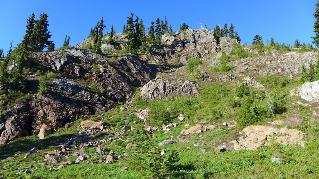
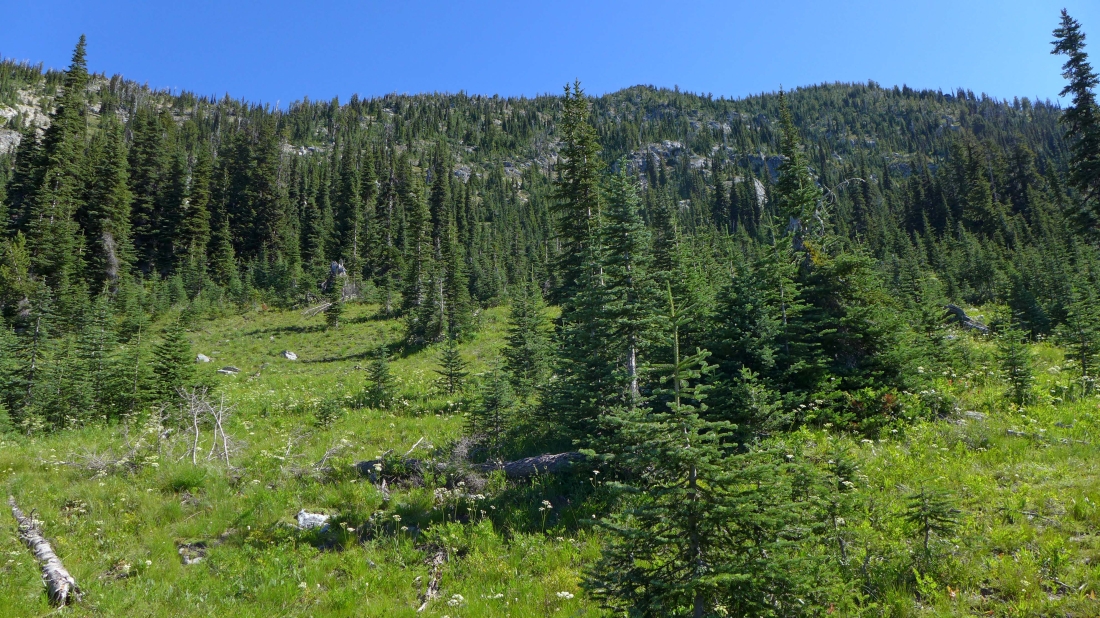
The Meadow Creek Trail passes through several meadows... this is the first one... and probably the one a person would take if they were going to head for The Cradle.
|
Still on the trail and looking up at Paddy Go South (left) and Paddy Go North.
|
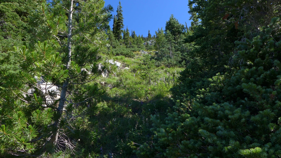
I stayed on the Meadow Creek Trail as long as it continued up... then headed cross country at ~5330 feet.
|
A huge meadow at ~5750 feet... I'm heading for the low point (left) on the ridge.
|
Gaining elevation on steep terrain... looking back across the valley to where we are camped.
|
A bit steep... but fairly easy travel... heading for the ridge.
|
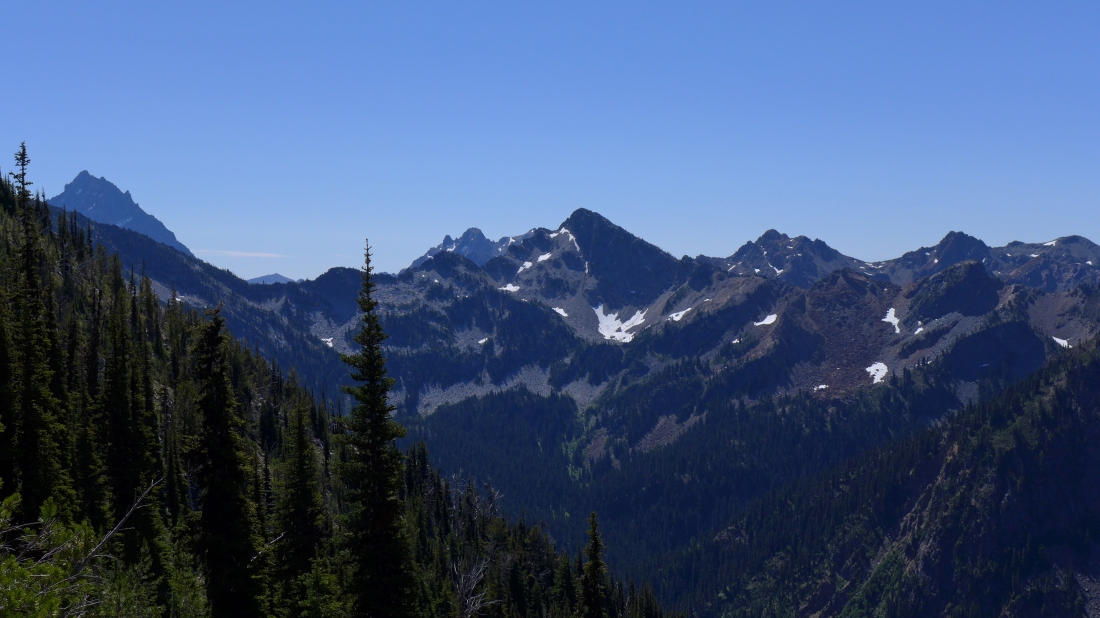
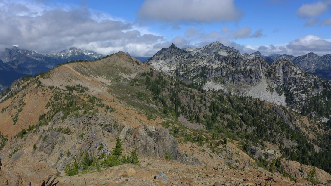
Still gaining elevation... Ingalls Peak and Solomon Mountain in the center of the photo... with Scatter Peaks to the right of Solomon... and Mt. Stuart on the far left.
|
Looking across the valley to Tucquala Peak and Tucquala West... with Mt. Rainier in the distance.
|
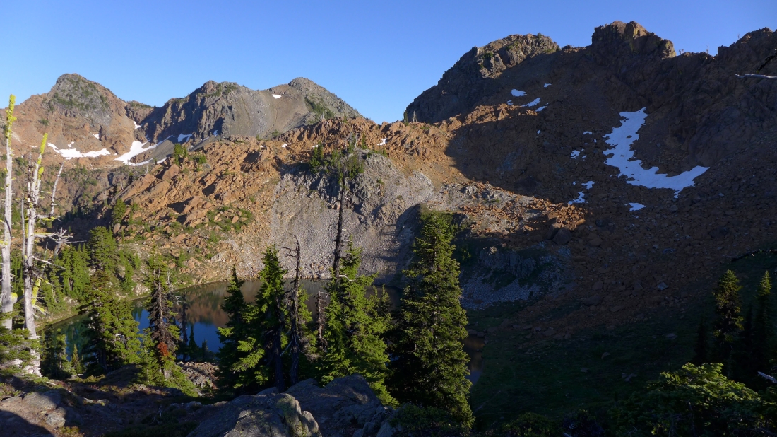
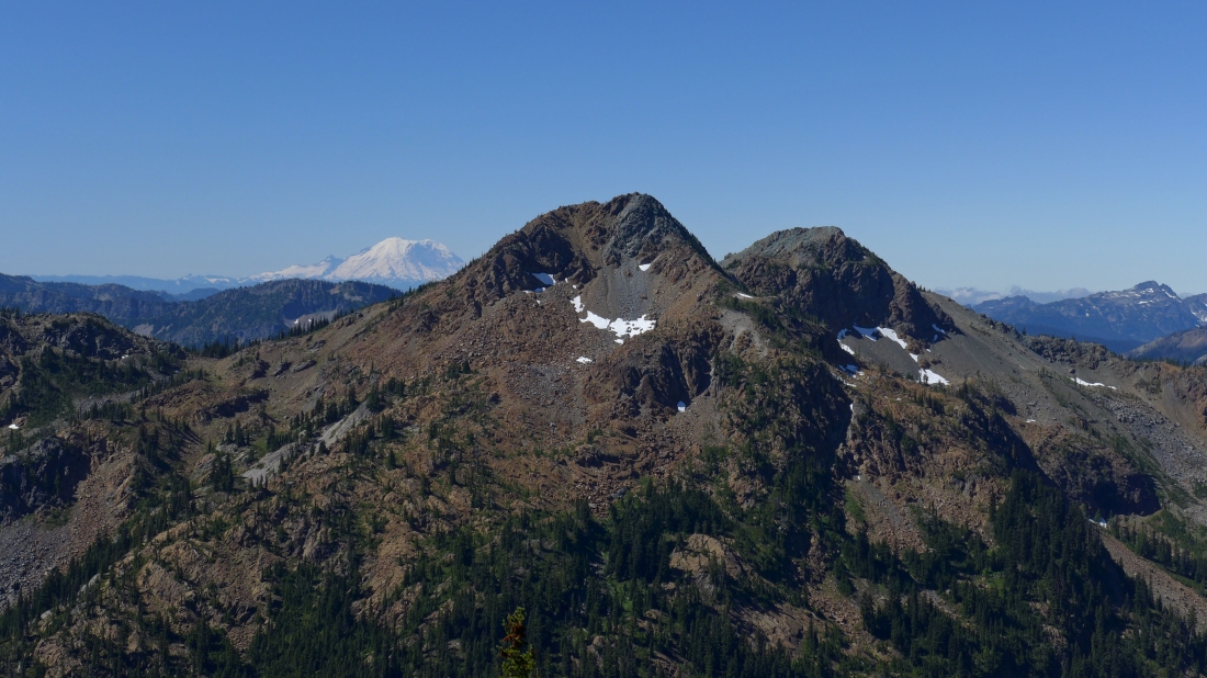
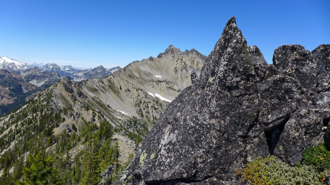
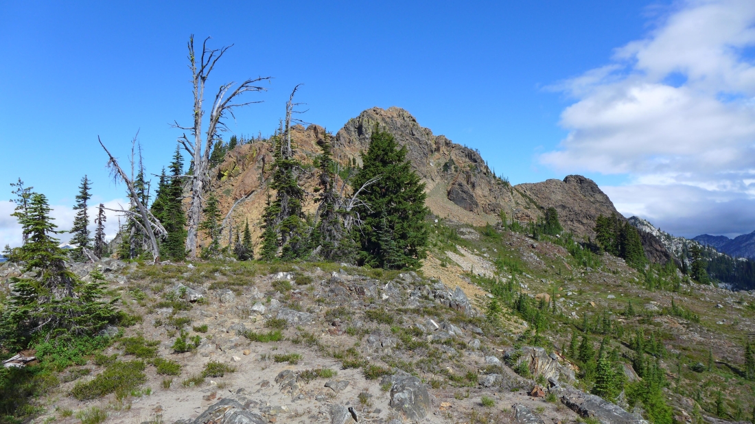
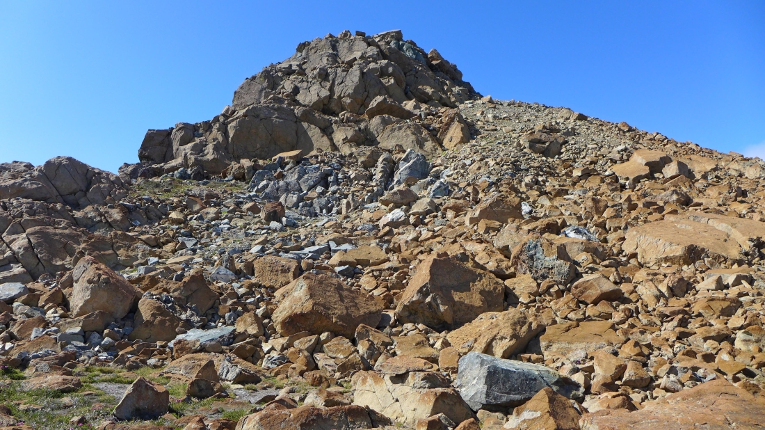
I've reached the ridge (~6650') and my first good look at The Cradle.
|
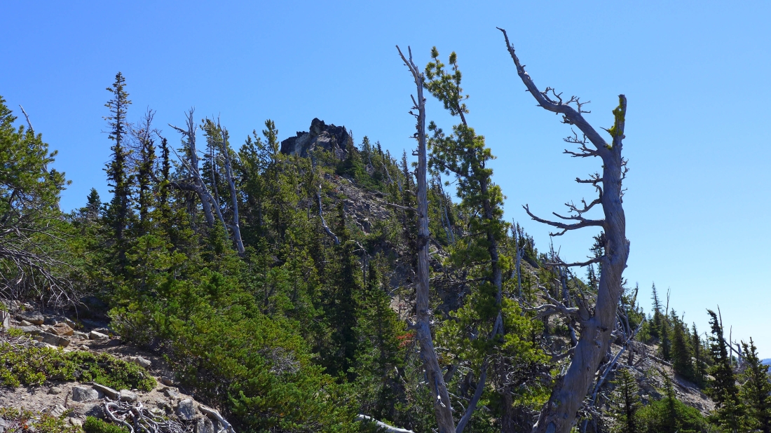
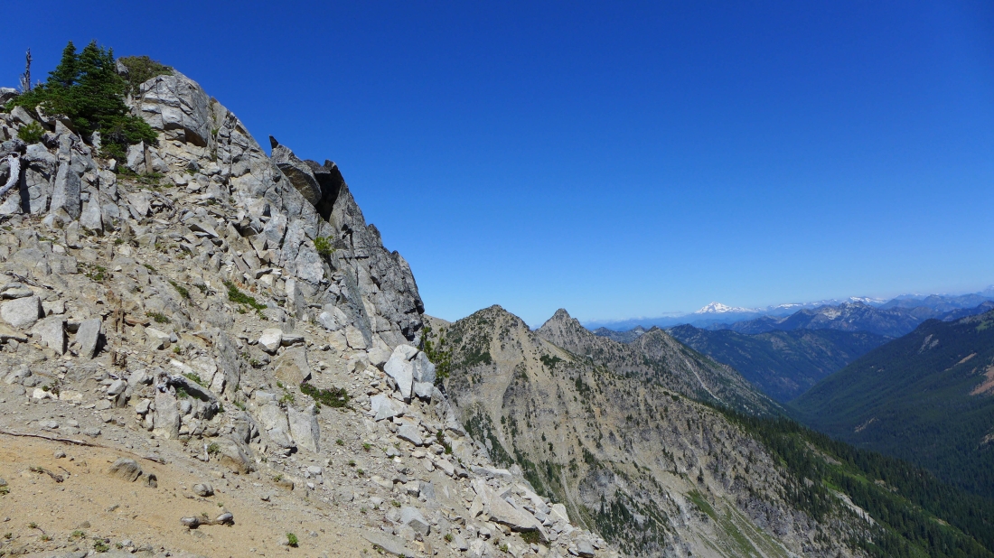
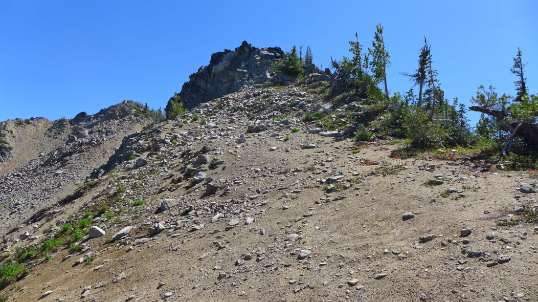
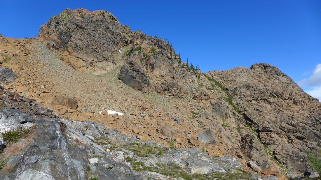
A look at Nursery's false summit from where I reached the ridge... I will go around the false summit on the right (south).
|
Going around the false summit of Nursery Peak.
|
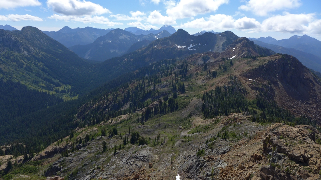
Beyond the false summit now... looks like easy travel to the Nursery Peak summit... Mt. Stuart in the distance on the right.
|
Looking north from the false summit of Nursery Peak in the left foreground... with Glacier Peak on the horizon.
|
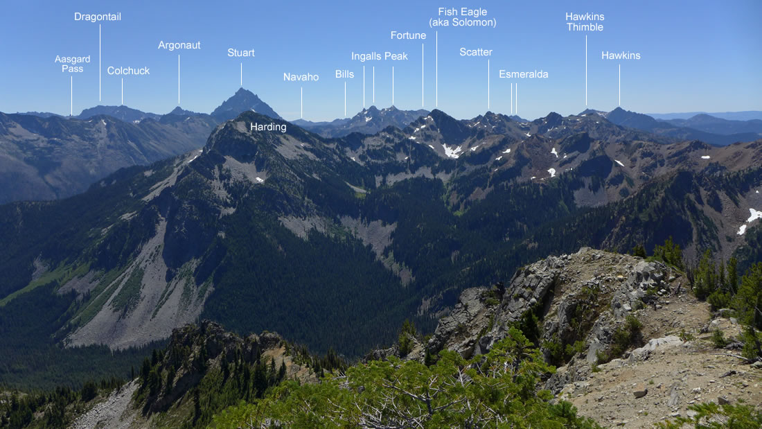
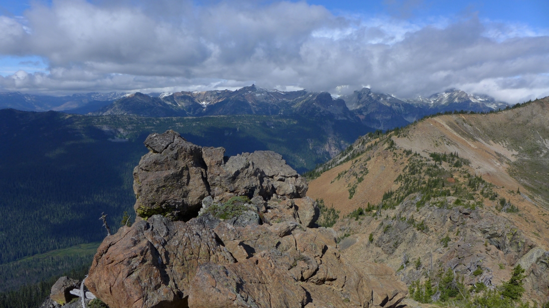
Peak identification from the Nursery summit.
|
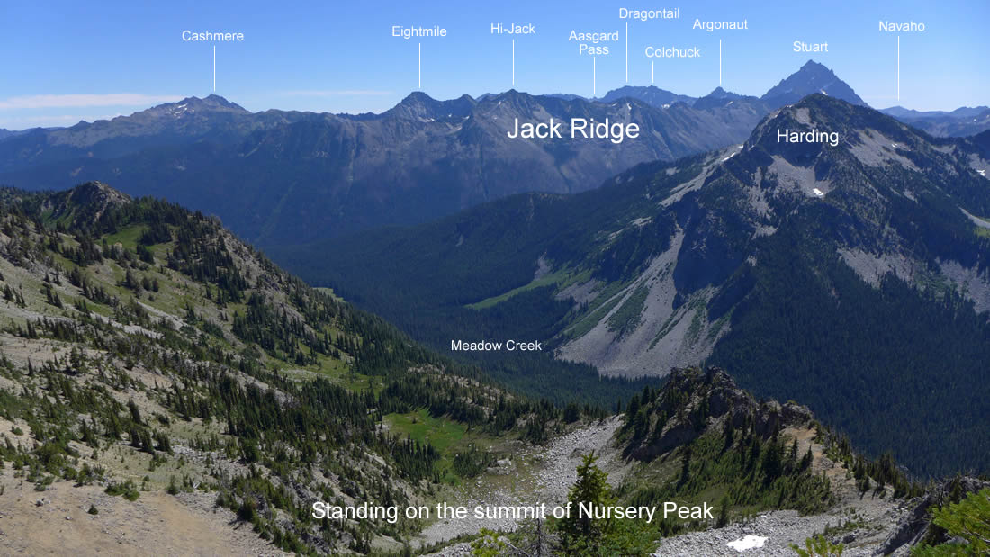
More peak identification from the Nursery summit.
|
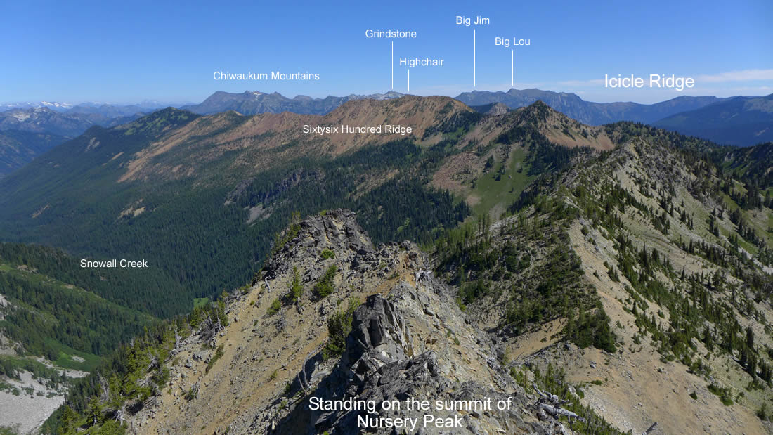
And still more peak identification from the Nursery summit.
|
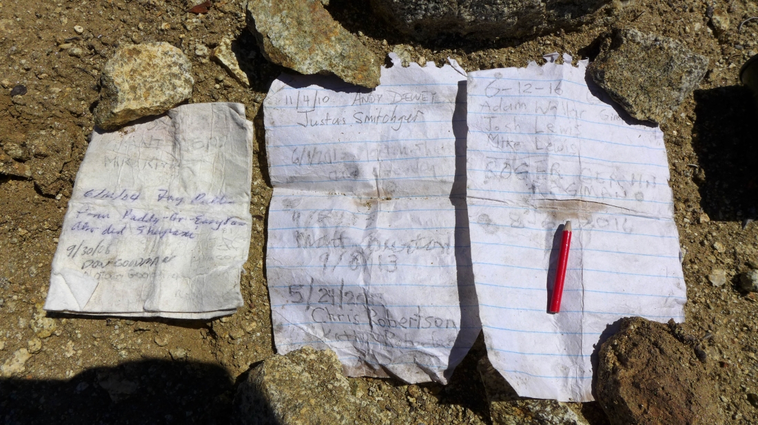
The summit register was in a film canister... and if the pencil was any smaller I would not have been able to pick it up. Not many visits to this Back Court 100 peak... there were two other pages that were not legible.
|
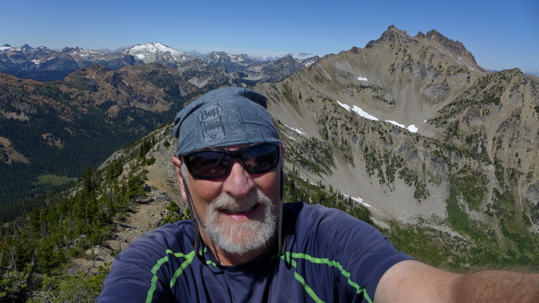
A selfie from the summit of Nursery Peak (6962').
|
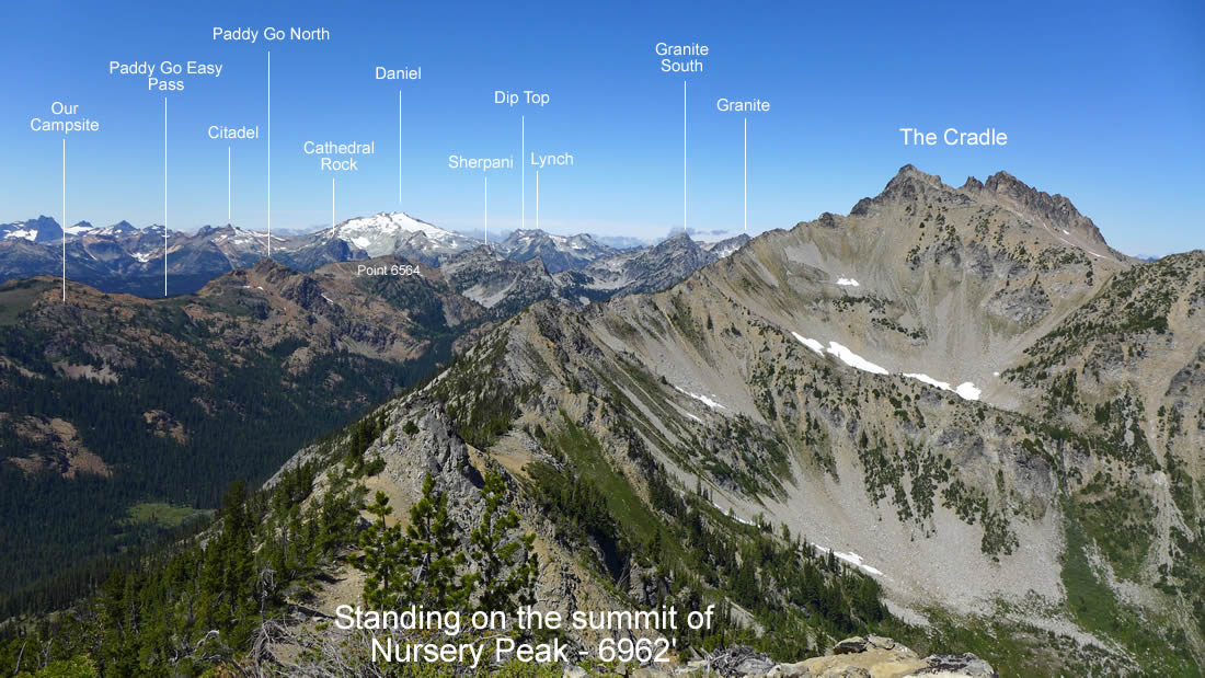
Peak identification from the Nursery Peak summit.
|
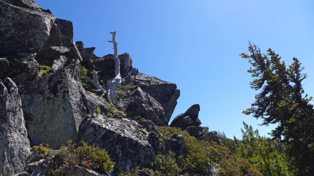
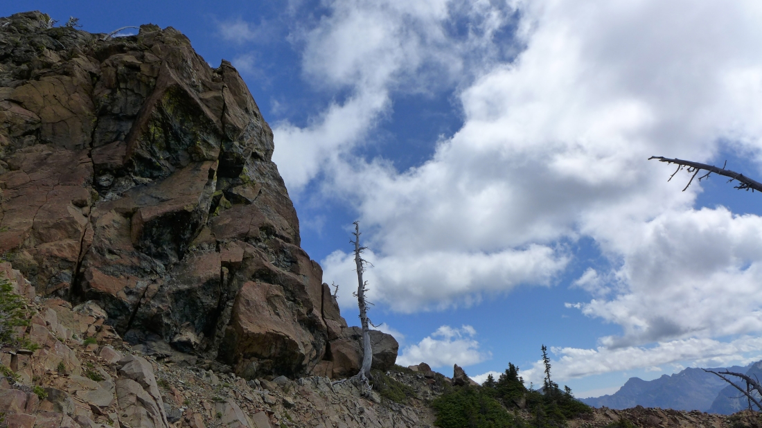
Returning from the Nursery summit I felt compelled to touch the false summit.
|
Looking back at the false summit as I head down the ridge.
|
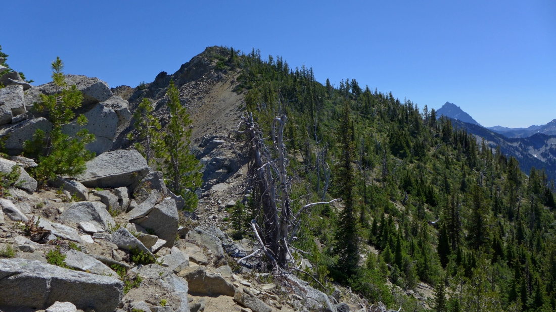
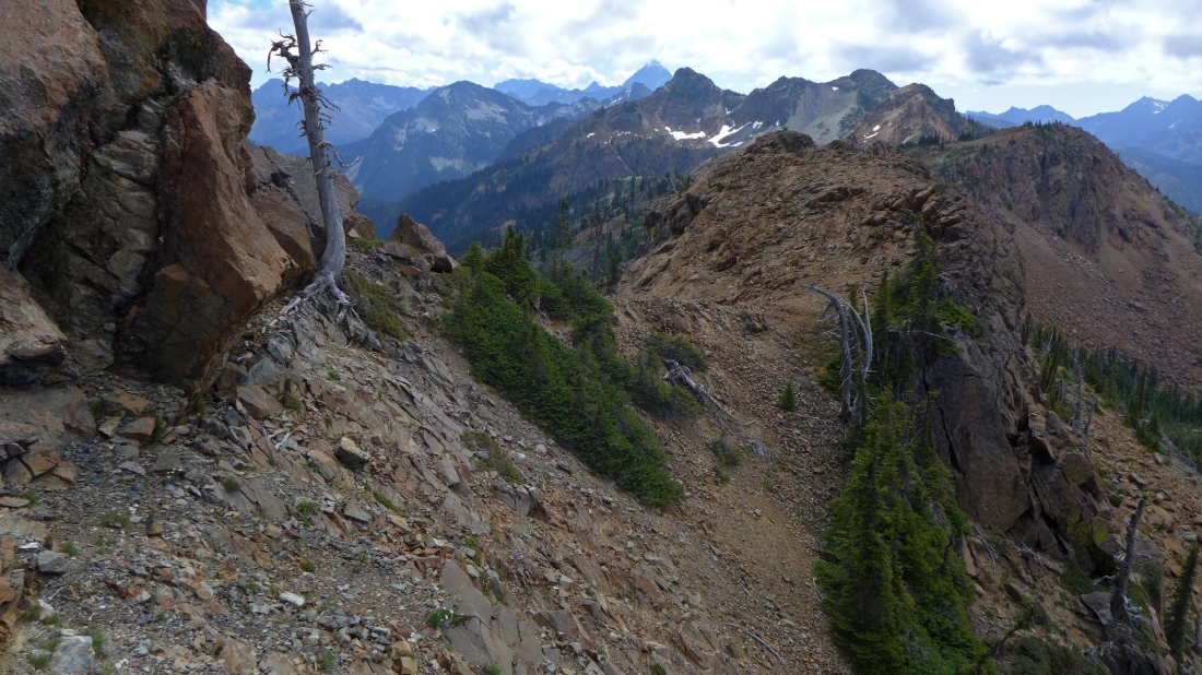
Continuing down the ridge... looking back at the summit (left) and false summit (center)... it will take me 4 hours to get back to camp.
|
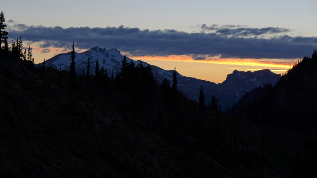
Sunset on our second night... looking across Paddy Go Easy Pass to Mt. Daniel, Dip Top Peak and Lynch Peak.
|
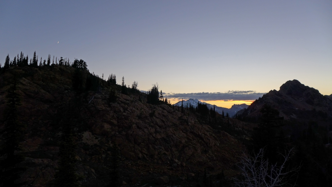
Moon and sunset... Paddy Go North in the right foreground... I will visit it tomorrow.
|
From camp we are watching the sunset on French Ridge.
|
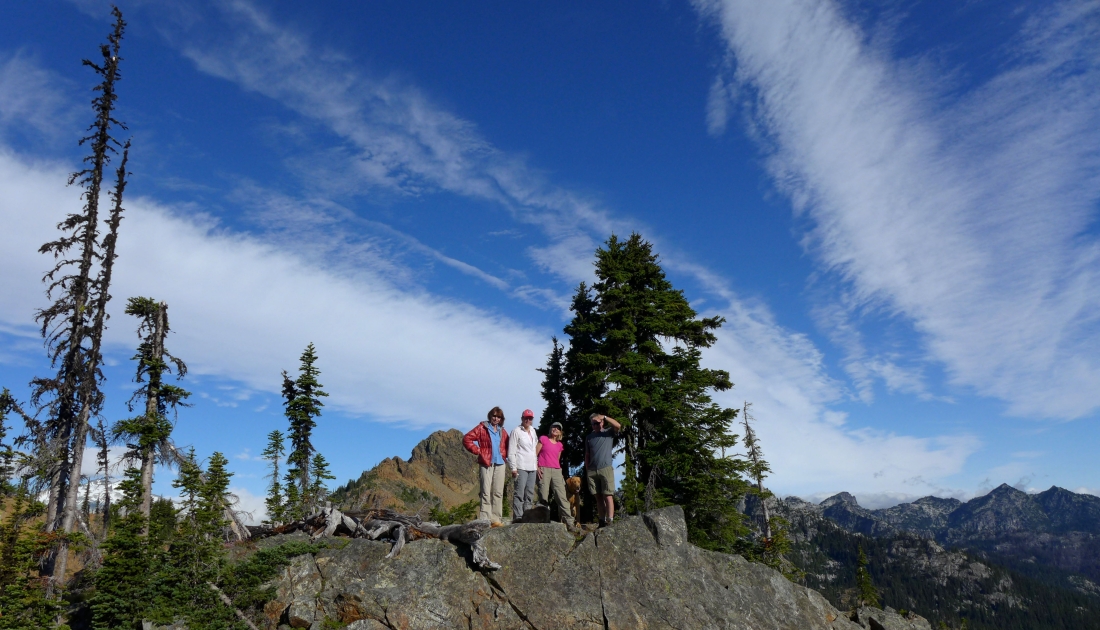
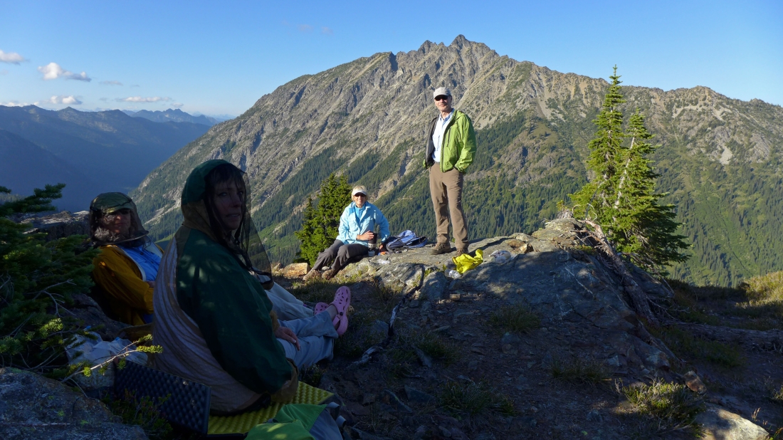
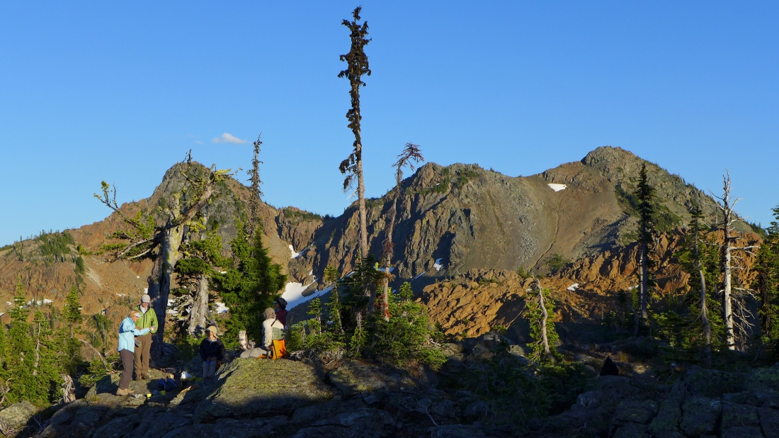
Another beautiful morning in camp... BarbE, Snowdog, Sadie's Driver and 'Middle E' pose in front of Paddy Go North... French Ridge in the distance on the right.
|
At Paddy Go Easy Pass... I have dropped my backpack and will head for Paddy Go North.
|
I will give back some elevation and use that green gully on the right to get up to the summit... and will return via the col on the far left.
|
Giving back some elevation to reach the green gully.
|
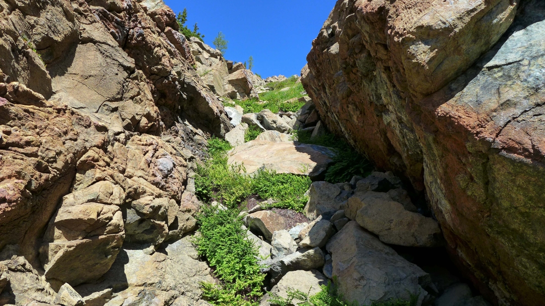
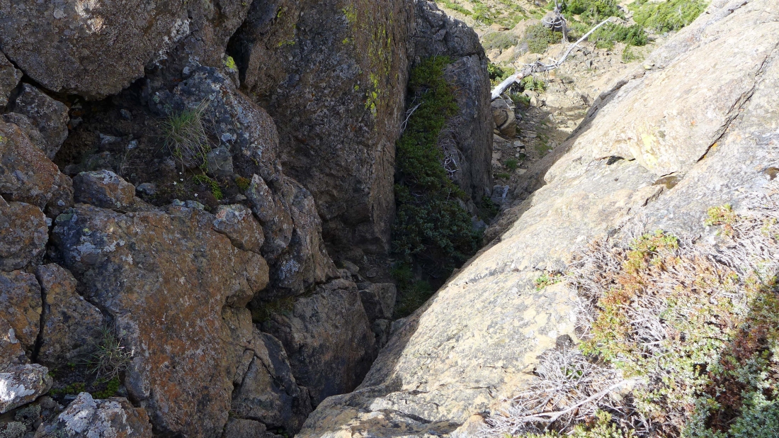
Heading up the steep green gully.
|
Looking down the green gully.
|
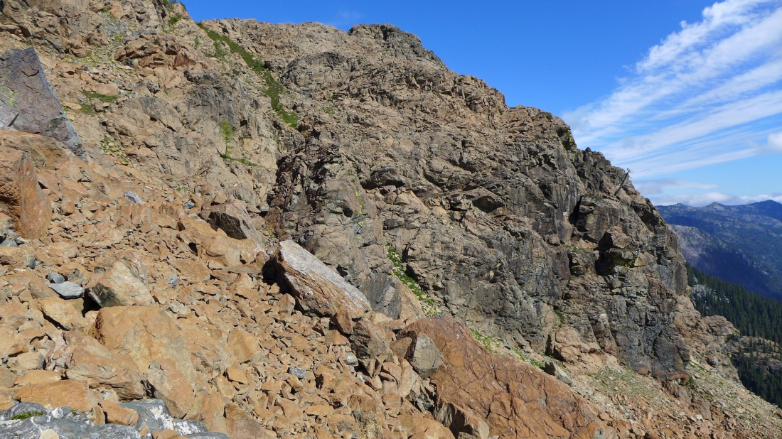
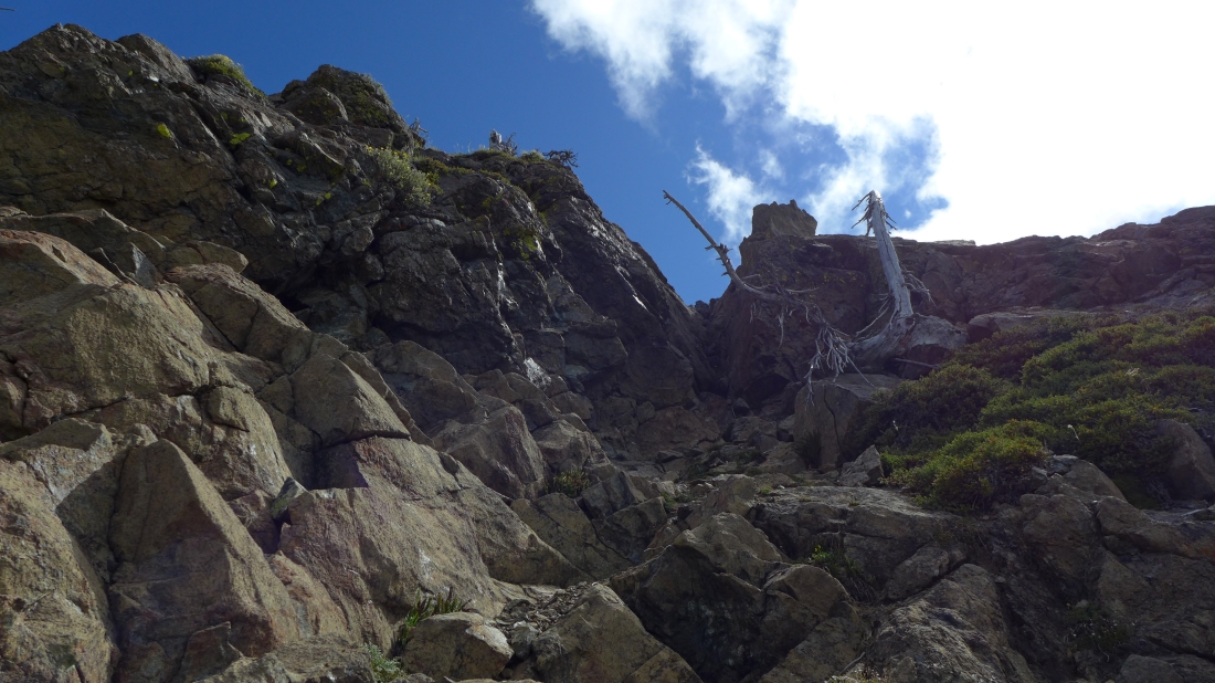
At 6300 feet on the north side of Paddy Go North... I probably took the wrong route here.
|
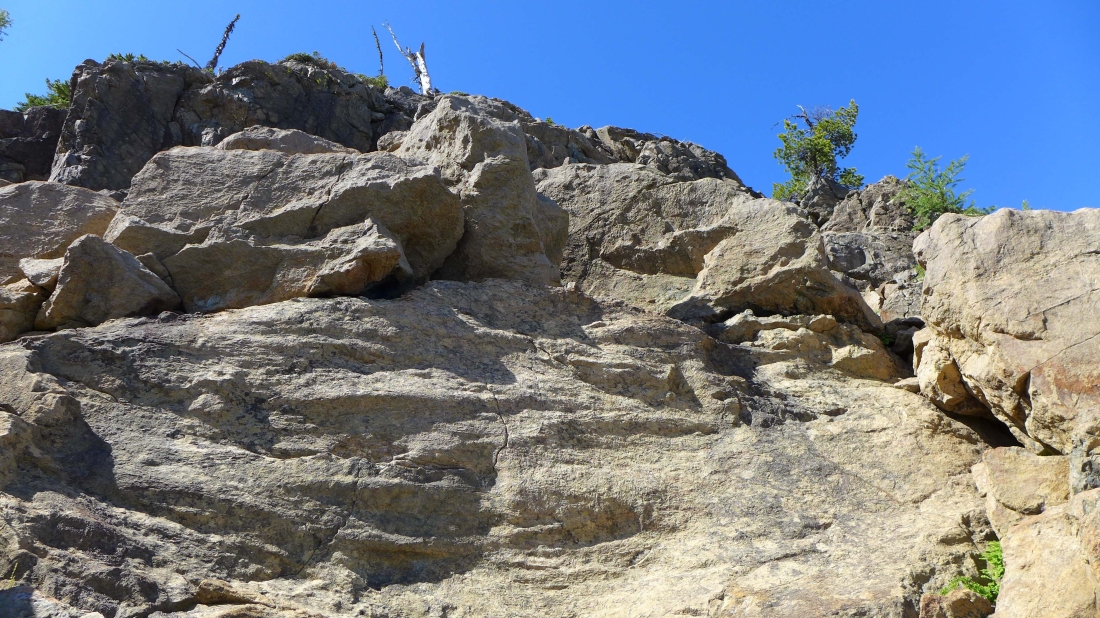
Heading for that big tree on the right.
|
Still heading for the tree.
|
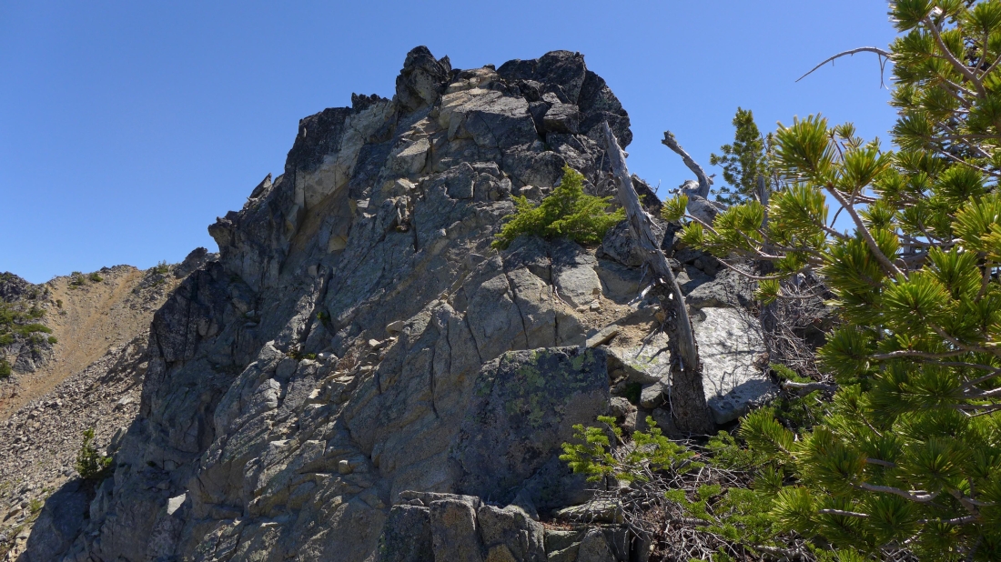
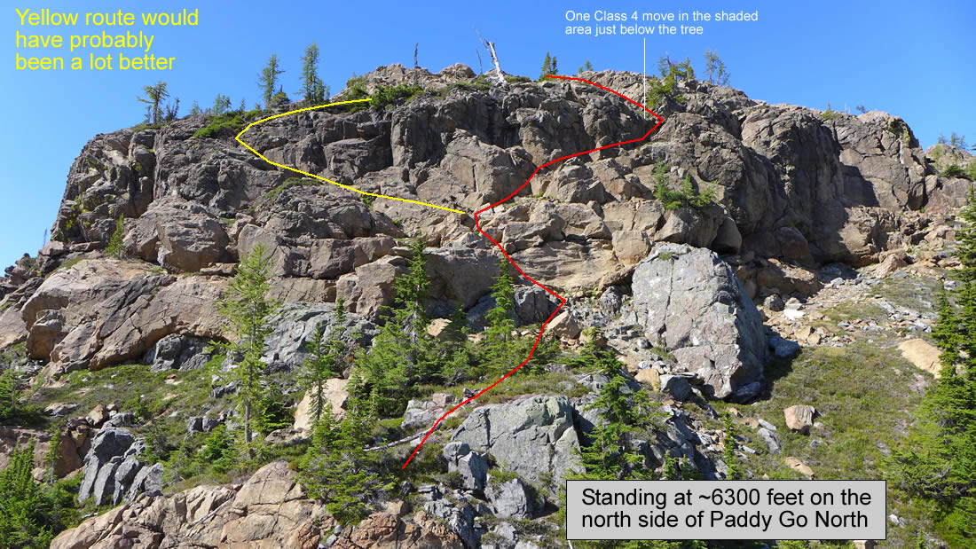
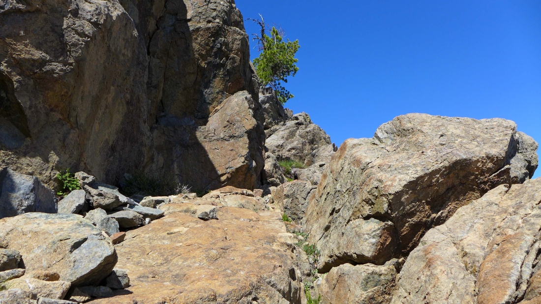
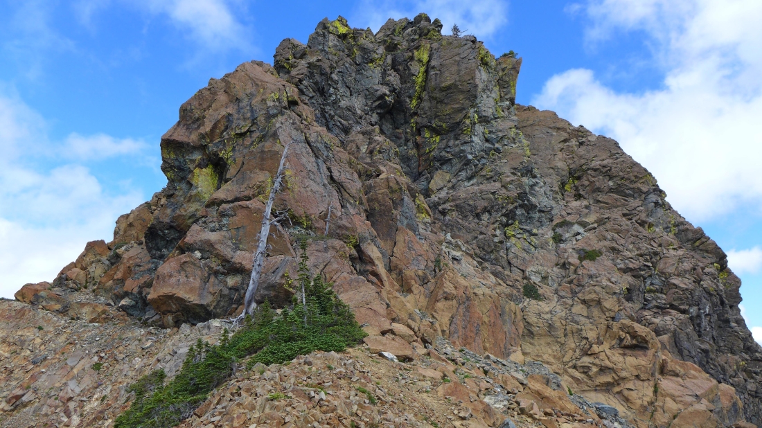
The tree is at the top of the photo... some exposure here... Sherpani Peak and Granite South in the distance.
|
Clear sailing now... after dealing with the Class 3/4 stuff in the previous photo.
|
On the Paddy Go North summit (6573') now... clouds cover Mt. Daniel, Dip Top Peak and Lynch Peak.
|
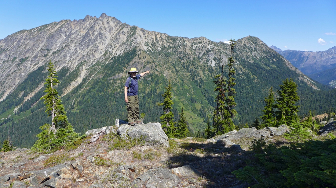
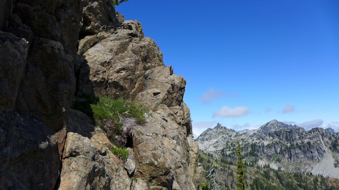
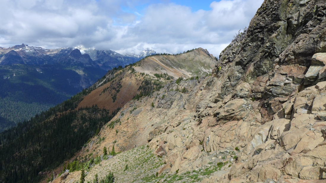
Looking north to Sherpani Peak and Granite South... French Ridge on the right.
|
Looking down on Paddy Go Easy Pass... I will have to do some work to get back down there.
|
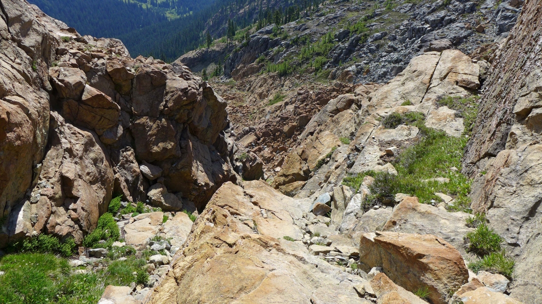
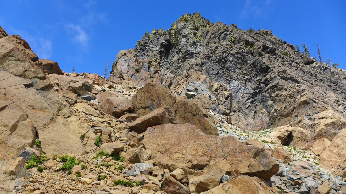
I will use this Class 2/3 gully to get down on the west side of the summit.
|
Looking back up at the Class 2/3 gully.
|
On the west side of Paddy Go North... looking back at Point 6564
|
Heading for the col on the right... which will put me on the south side of the summit block.
|
Heading for the col in the center of the photo.
|
On the south side of Paddy Go North... I've come around the summit block from the left (west).
|
Heading down and looking back.
|

Heading down... I can see the green gully on the far right that I used on my way up to the summit.
|
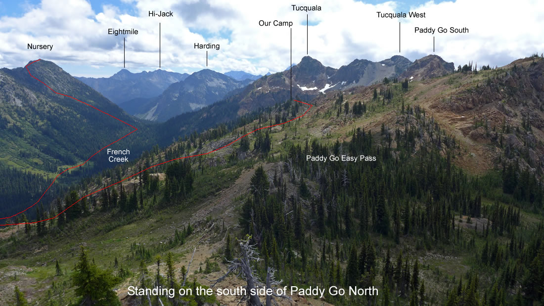
Easy travel now to get back to Paddy Go Easy Pass... and yesterday's approximate route to Nursery Peak from our camp.
|
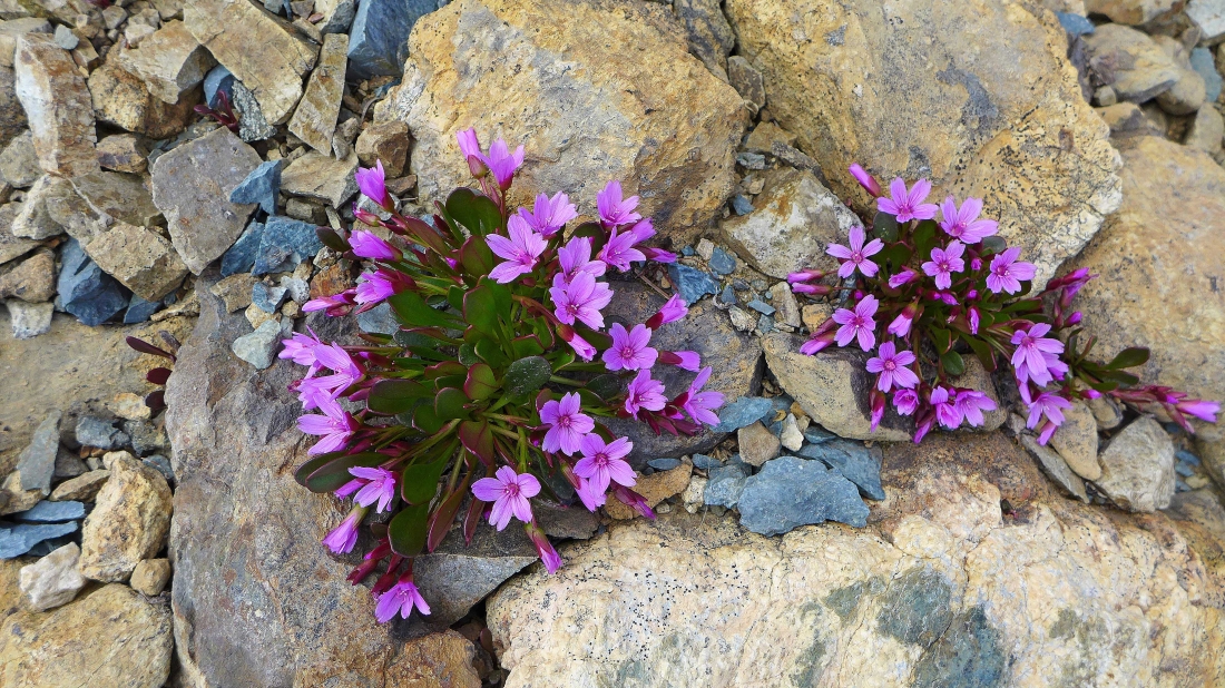
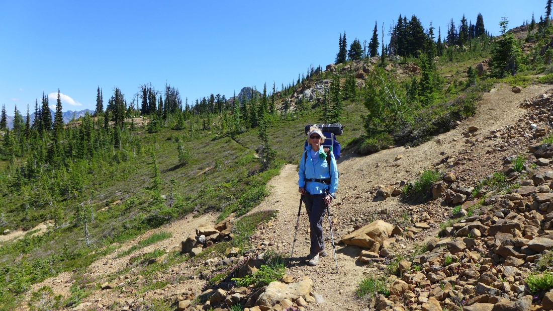
Alpine Spring Beauty... time to start the 3 mile hike from Paddy Go Easy Pass down to our car.
|
On the trail down to the car... looking across the valley to Cathedral Rock, Mt. Daniel, Dip Top Peak and Lynch Peak.
|
