Misery Ridge - 9.17.2016
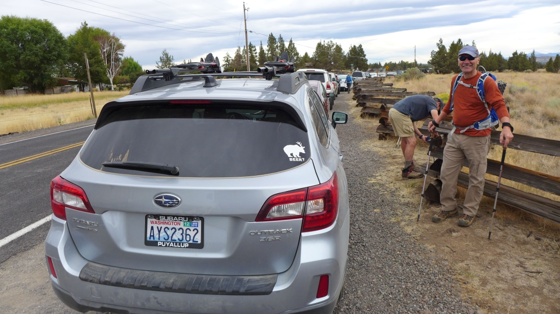
Smith Rock State Park is located a short distance east of Terrebonne, Oregon... the place was so busy that we had to park next to the road. We have never seen it this crowded... perhaps because it was on the weekend.
|

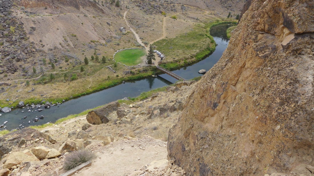
Near the trailhead... now we will hike down to the Crooked River.
|
Nearing the river... and watching a troop of Marines jogging up the Misery Ridge Trail.
|
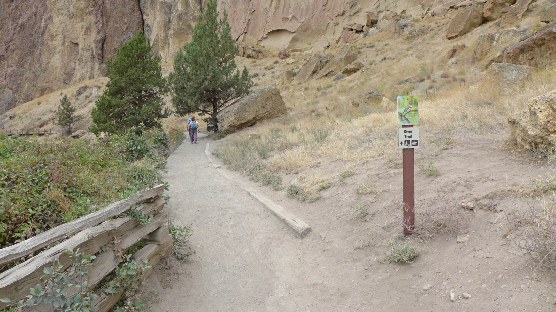
Right after crossing the bridge we turned left onto the River Trail.
|
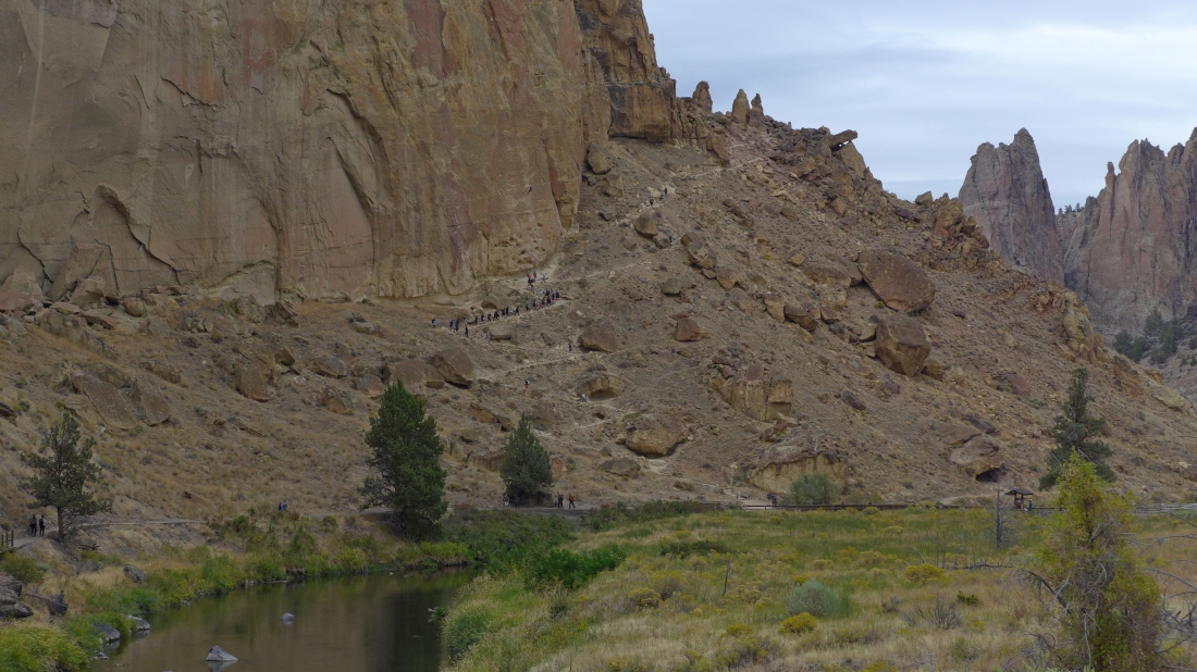
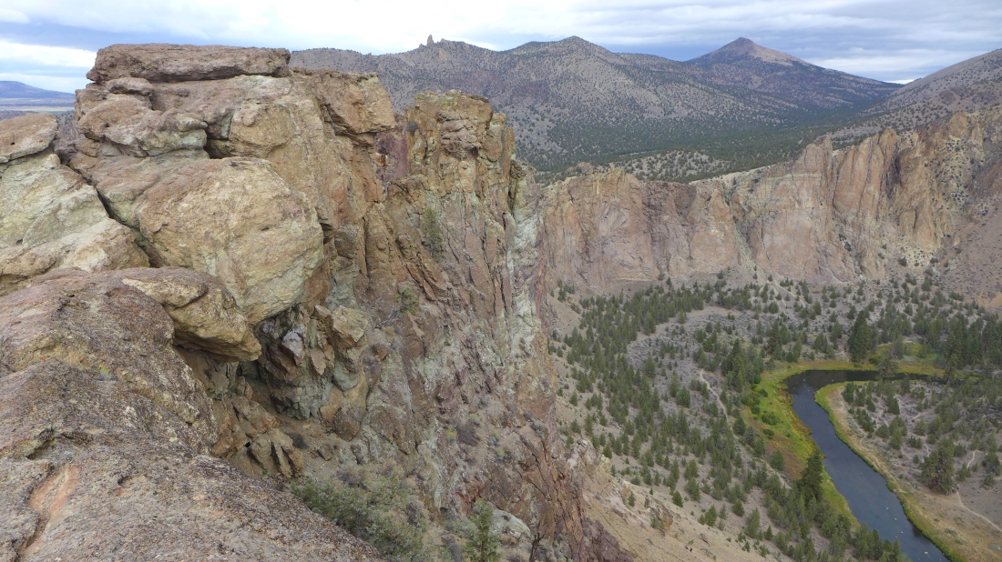
Continuing on the River Trail and heading for Asterisk Pass in the center of the photo.
|

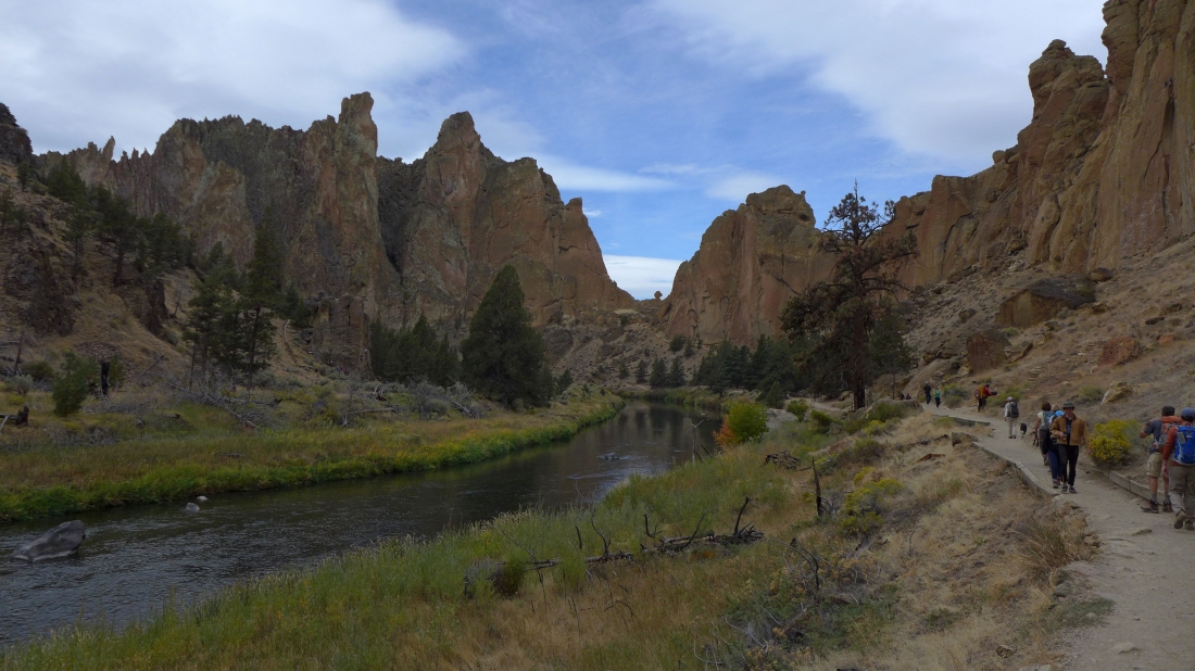
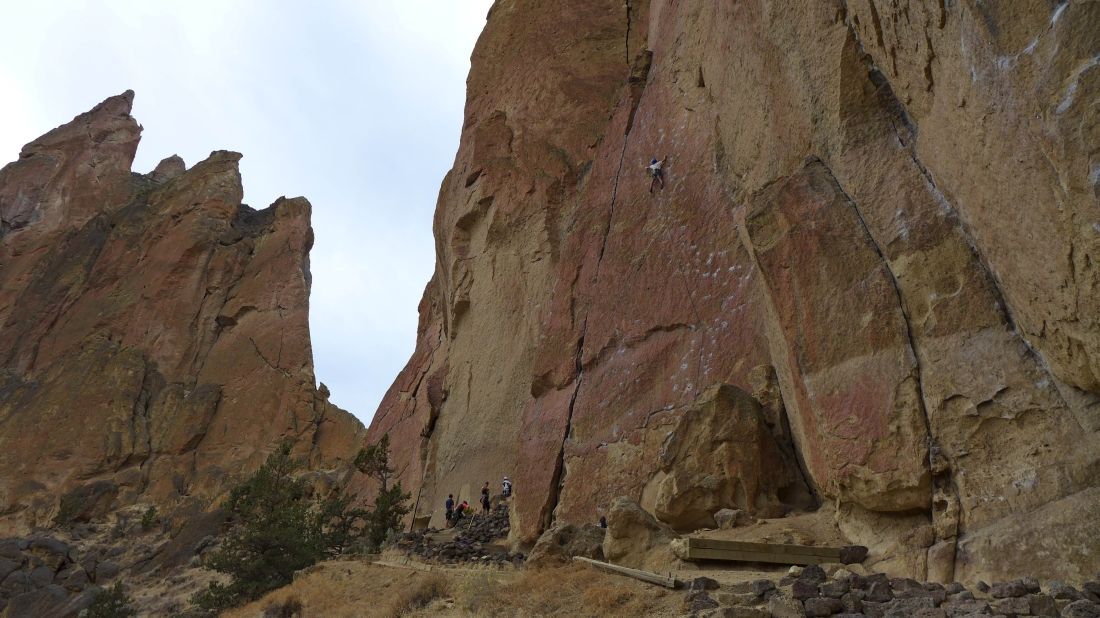
There were many climbers working their craft.
|
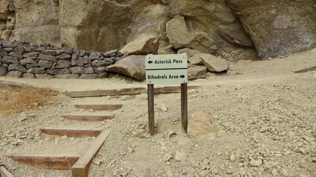
Tom and I decided to reach the west side of Smith Rock by going up and over Asterisk Pass while the others decided to stay on the River Trail.
|
More climbers as we head for Asterisk Pass.
|
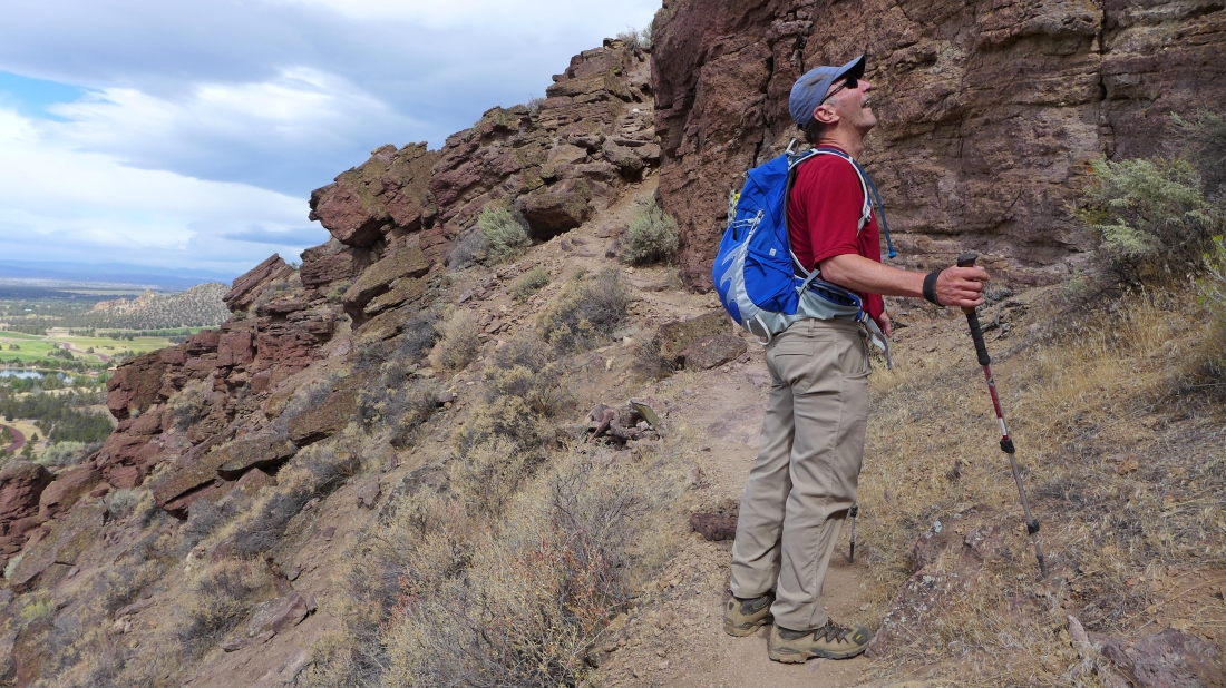
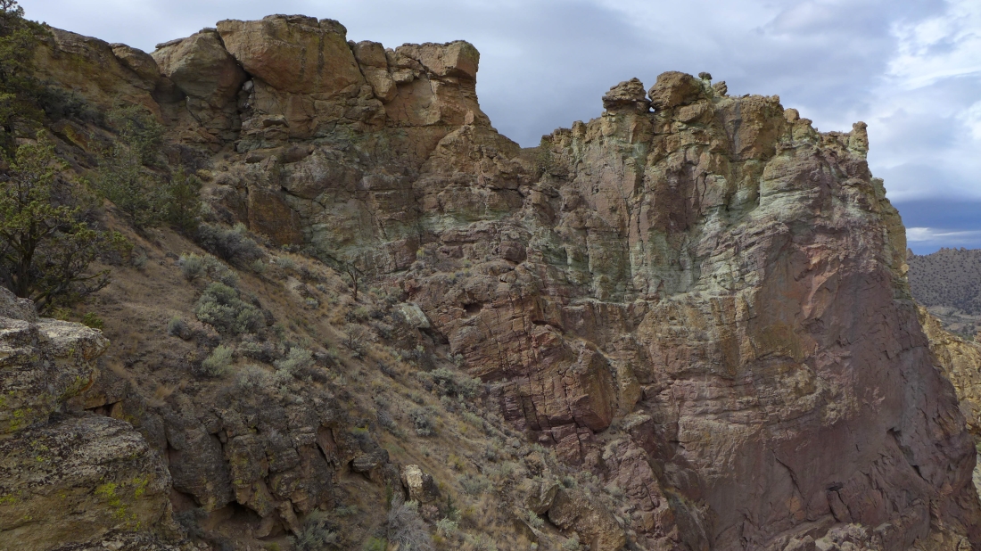
Well... there is the asterisk... we will find the pass to be Class 3 on the east side... and Class 4 on the west side.
|
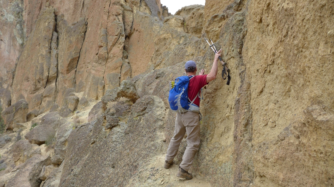
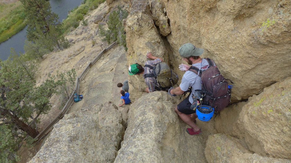
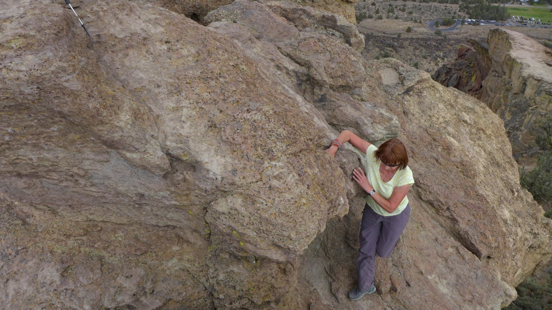
Tom working on a narrow ledge that will lead up to the right side of the asterisk.
|
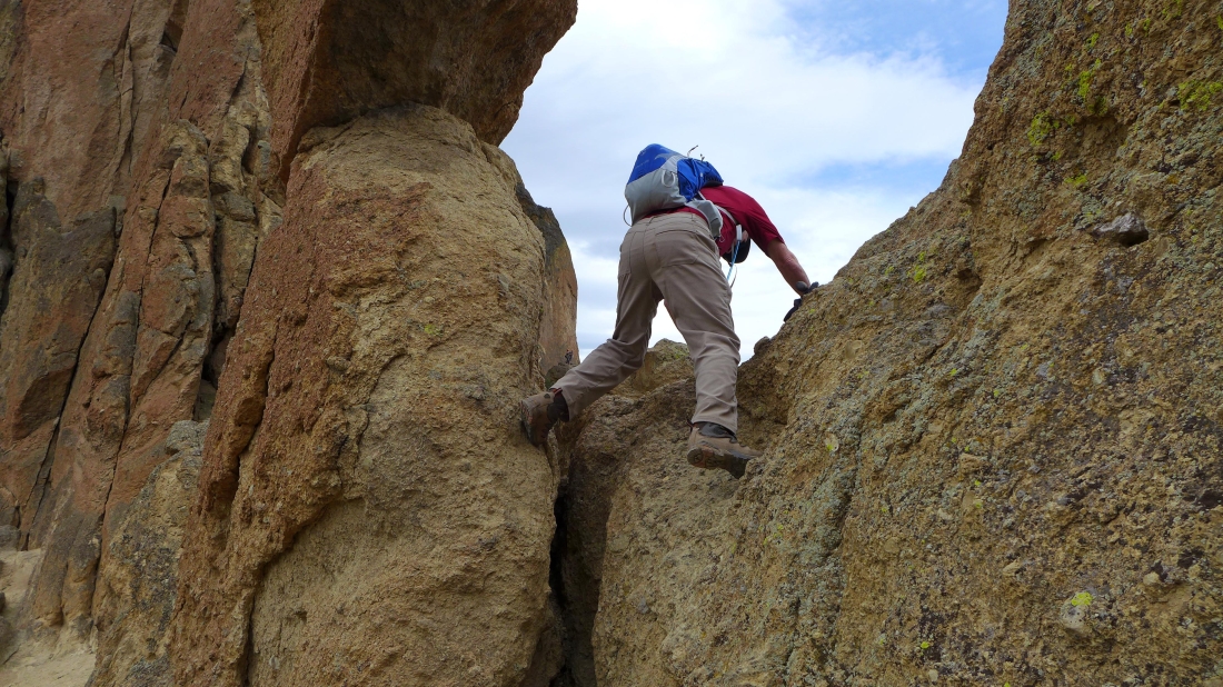
Tom is on the right side of the asterisk and looking for a way to get down on the west side of the pass... but it will not go.
|
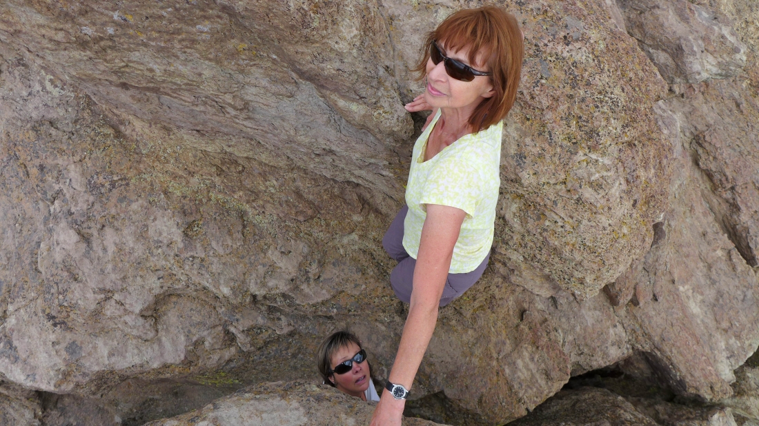
So now we will check out the left side of the asterisk... the Crooked River is a couple hundred feet below.
|
At Asterisk Pass with the asterisk in the foreground.
|
At Asterisk Pass... looking down at the River Trail.
|
Watching a group of climbers on the west side of Asterisk Pass... we will go down next.
|
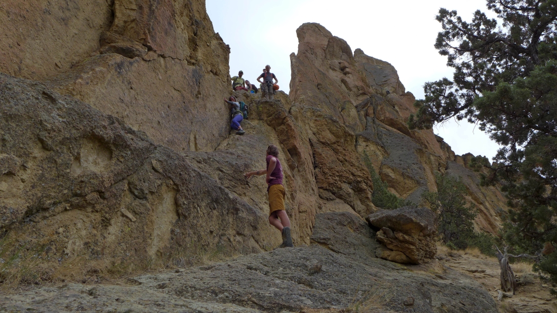
Looking back and watching others deal with the Class 4 terrain on the west side of Asterisk Pass.
|
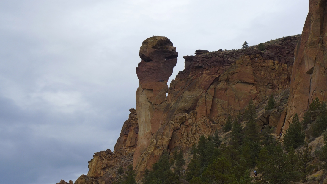
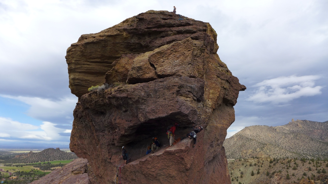
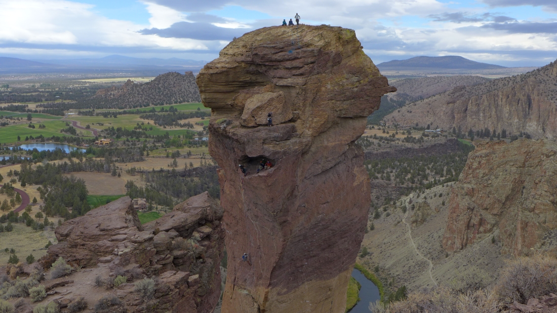
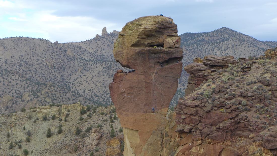
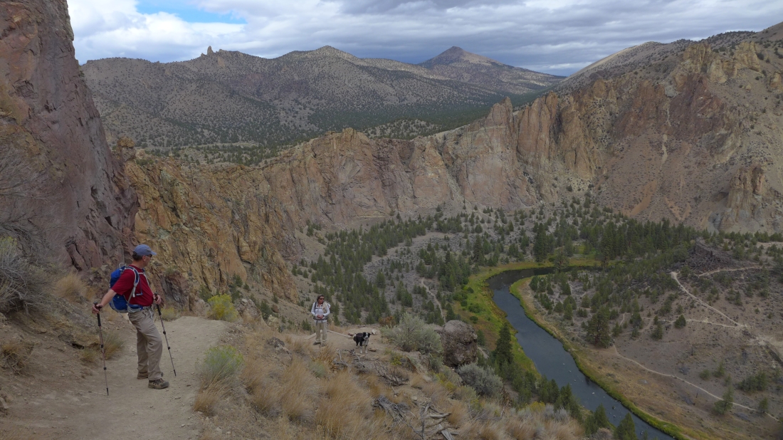
On the west side of Asterisk Pass... hiking on the Mesa Verde Trail now... and watching climbers on Monkey Face.
|
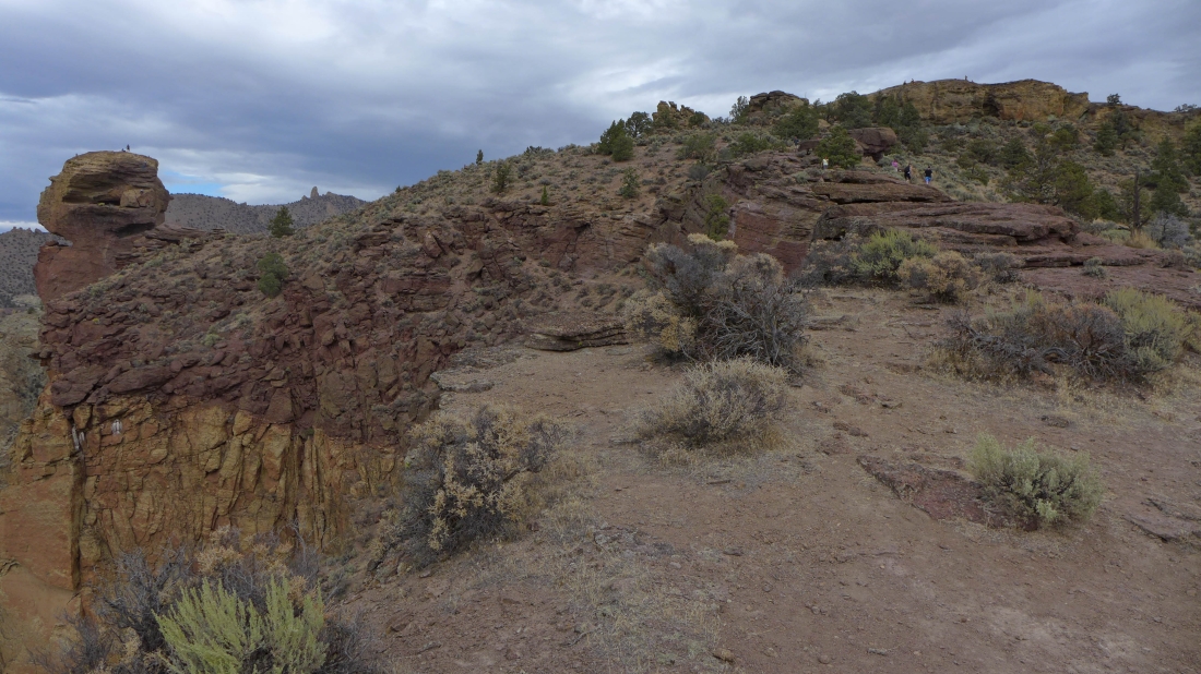
We have left the Mesa Verde Trail and heading for the ridge on a less traveled path... here Monkey Face looks like it is attached to the wall.
|

Almost on the ridge and looking at the town of Terrebonne.
|
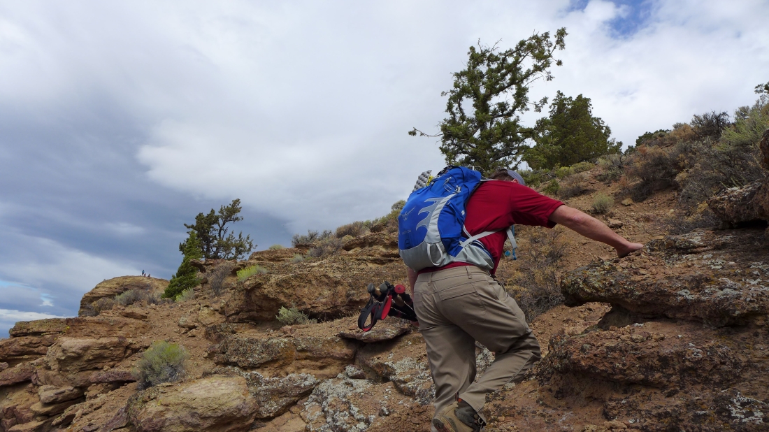
We could continue on this path to the ridge... but Tom has found a more interesting scramble route to the ridge.
|
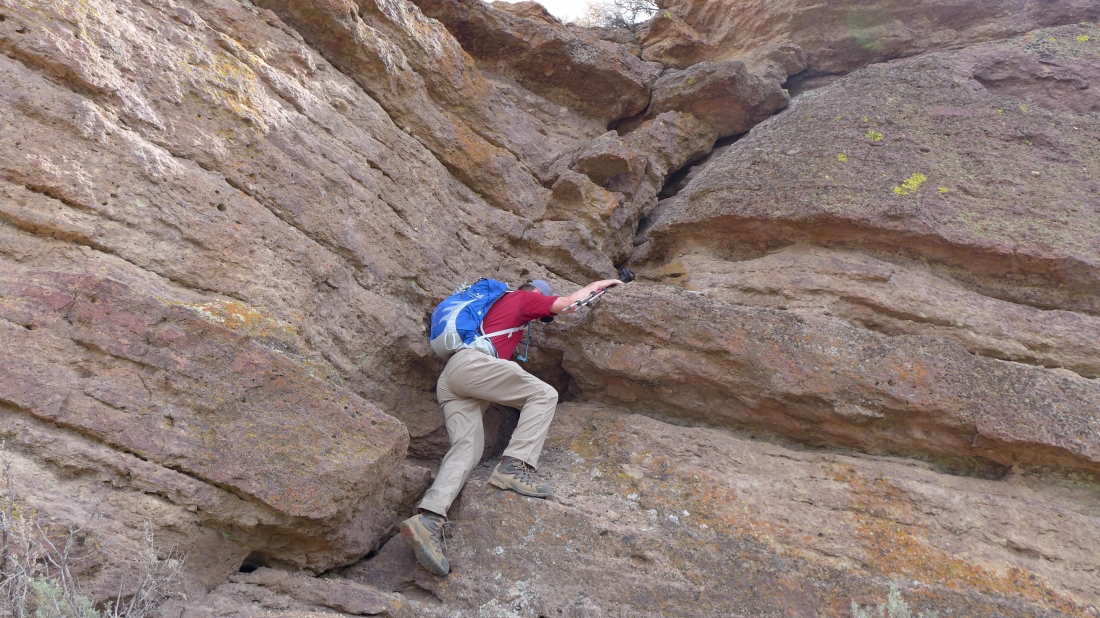
Tom scrambling up to the ridge... Class 3.
|

Still scrambling.
|
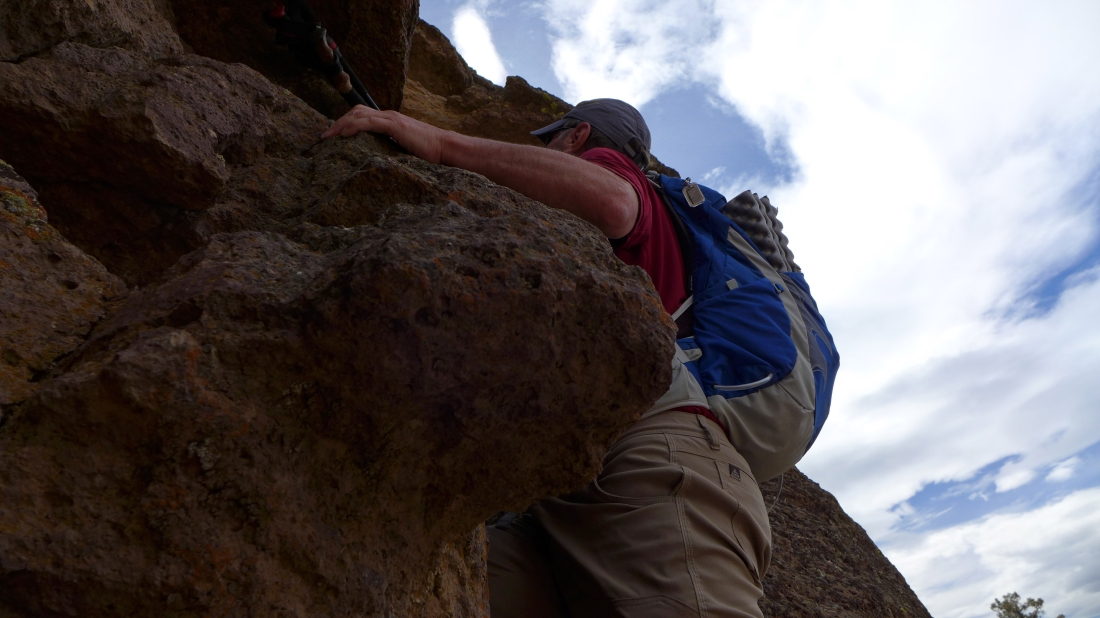
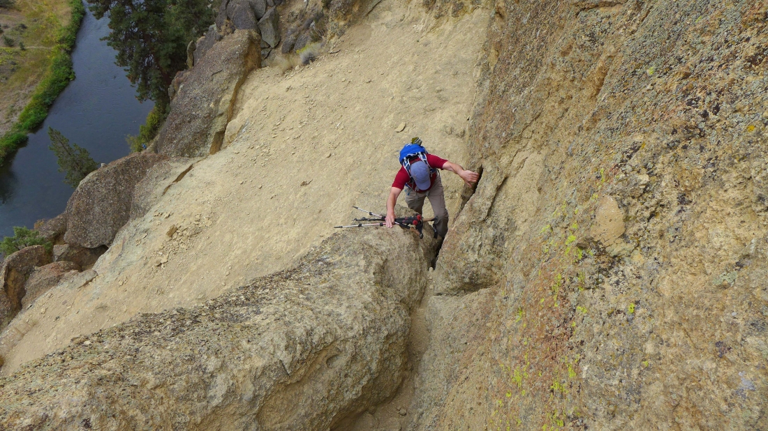
A little tight here.
|
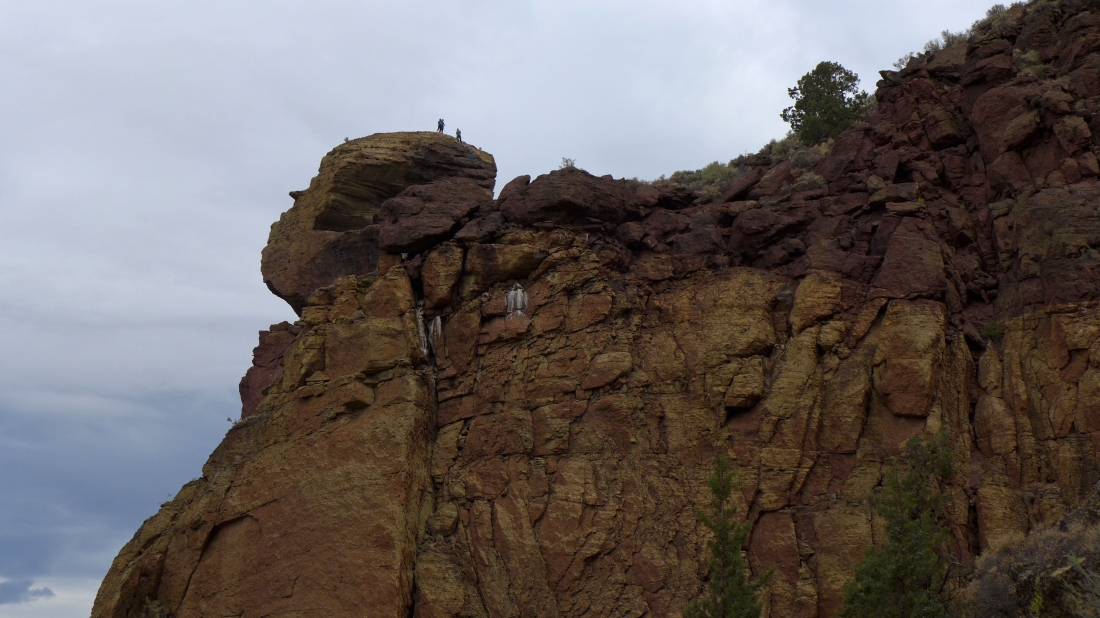
Tom pops out onto the ridge... now we will hike over to Monkey Face on the far left and be close enough to the climbers to chat with them.
|
Feels like we can reach out and touch the climbers... keep an eye on the woman in black on the right.
|
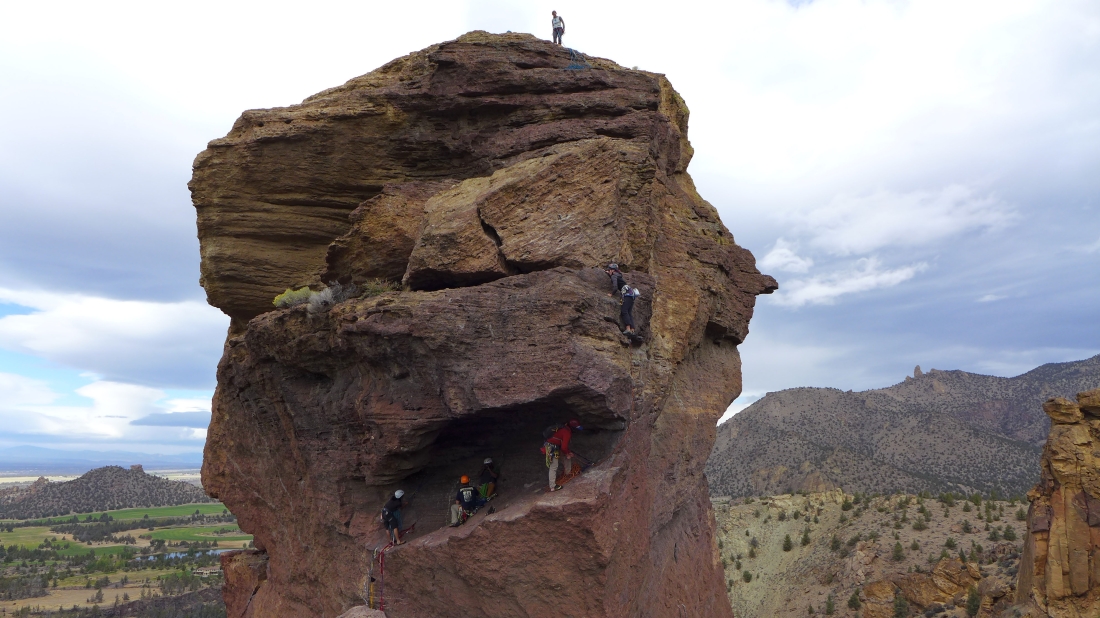
The woman in black is moving up.
|
The woman in black is still moving up... we were standing on the rock in the lower left part of the photo.
|

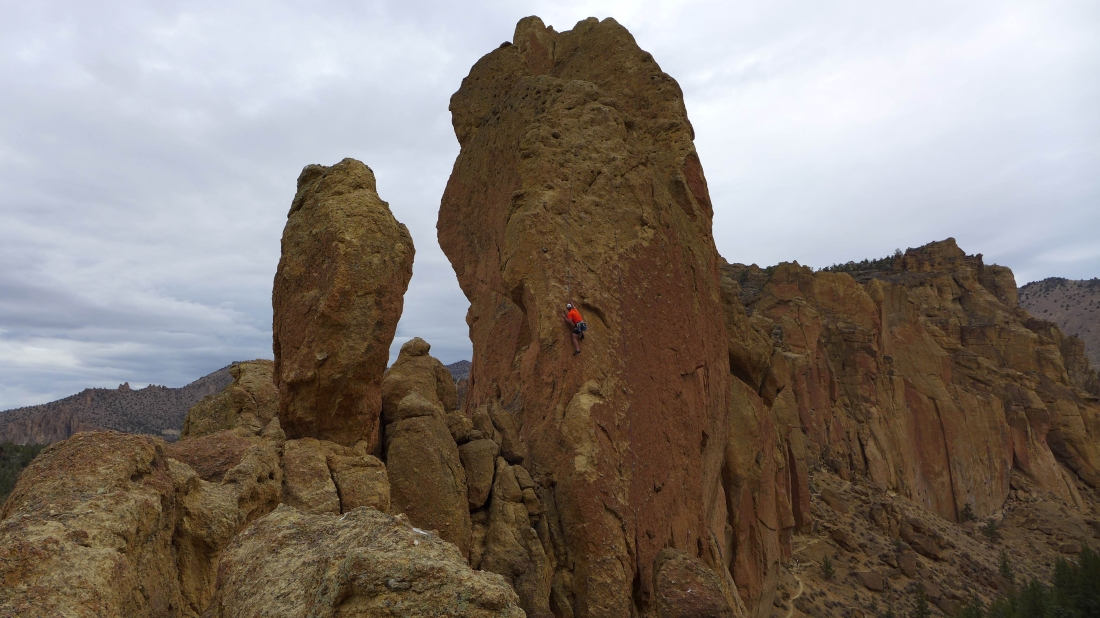
Climbers on Monkey Face.
|
We can see the top of Misery Ridge.
|
More Monkey Face... the guy climbing in the red jacket was partnered with the woman in black who is just above him.
|
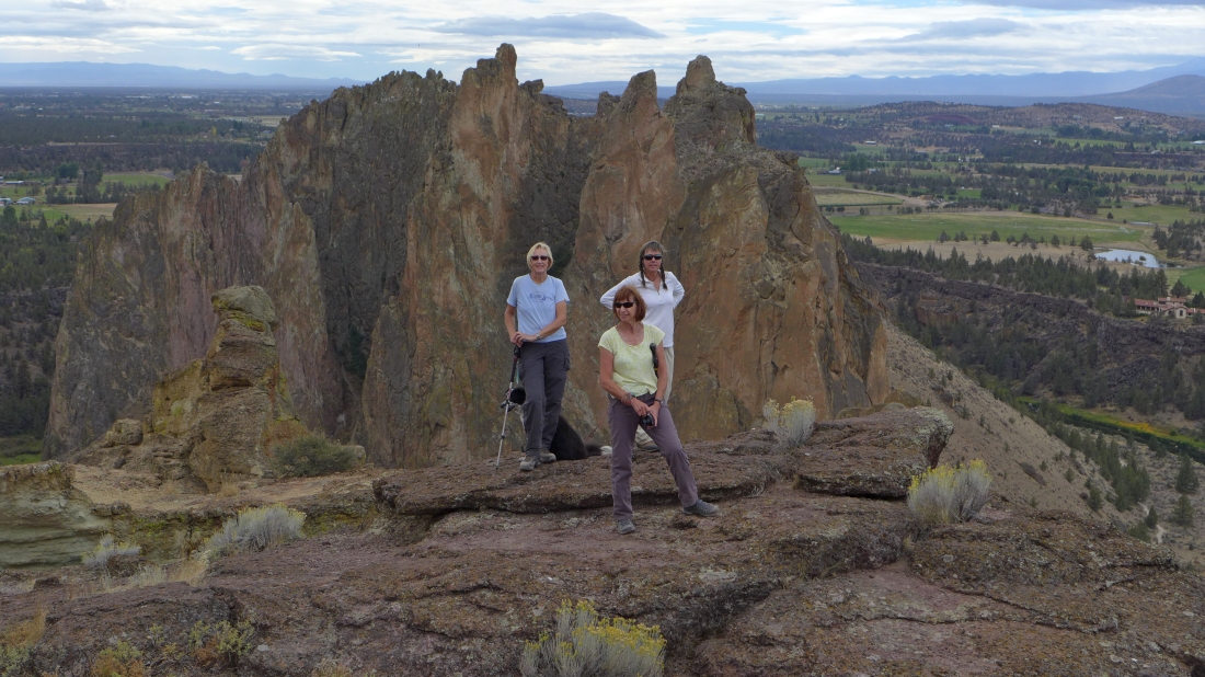
The four ladies in our group... posing with Smith Rock behind them.
|
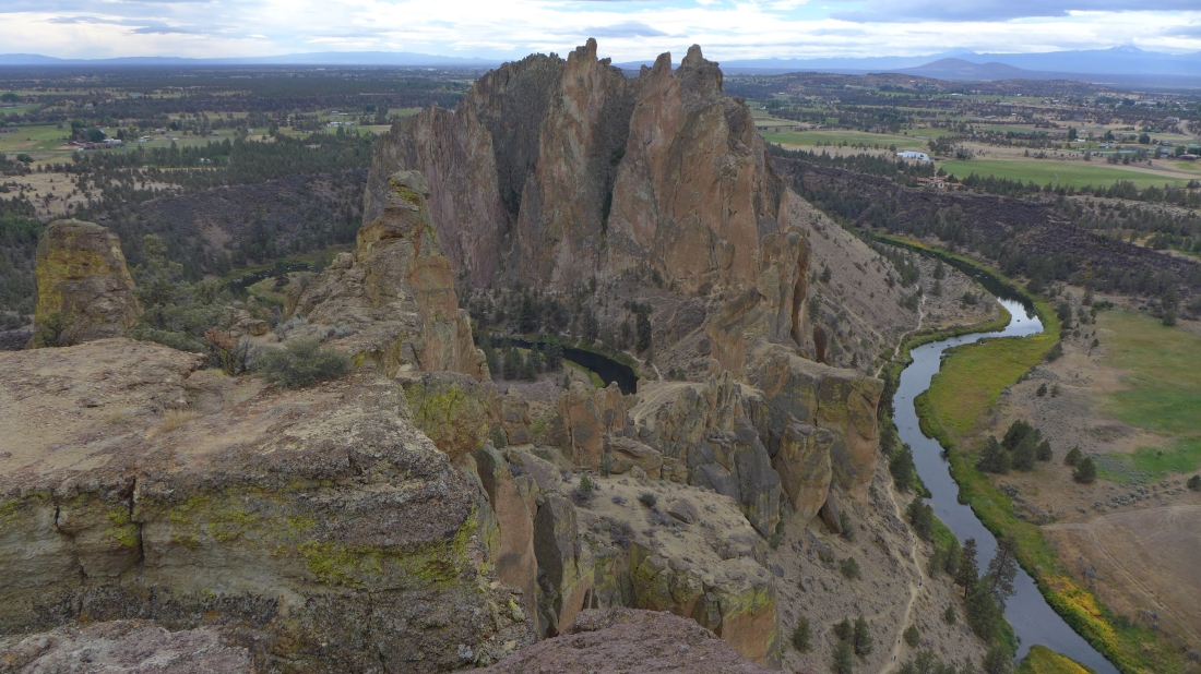
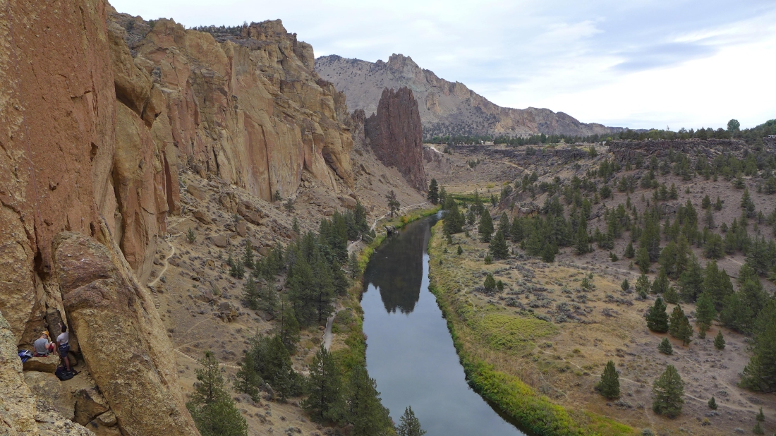
The Crooked River on both sides of Smith Rock... cloudy in the mountains.
|
Gail took this shot... with Tom pointing down toward Asterisk Pass.
|
Barb on the short Class 3 section that gains the Misery Ridge summit.
|
More Class 3 scrambling.
|
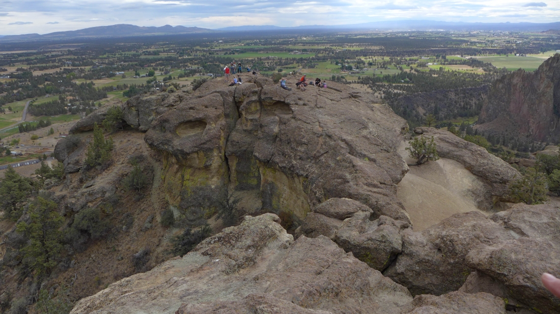
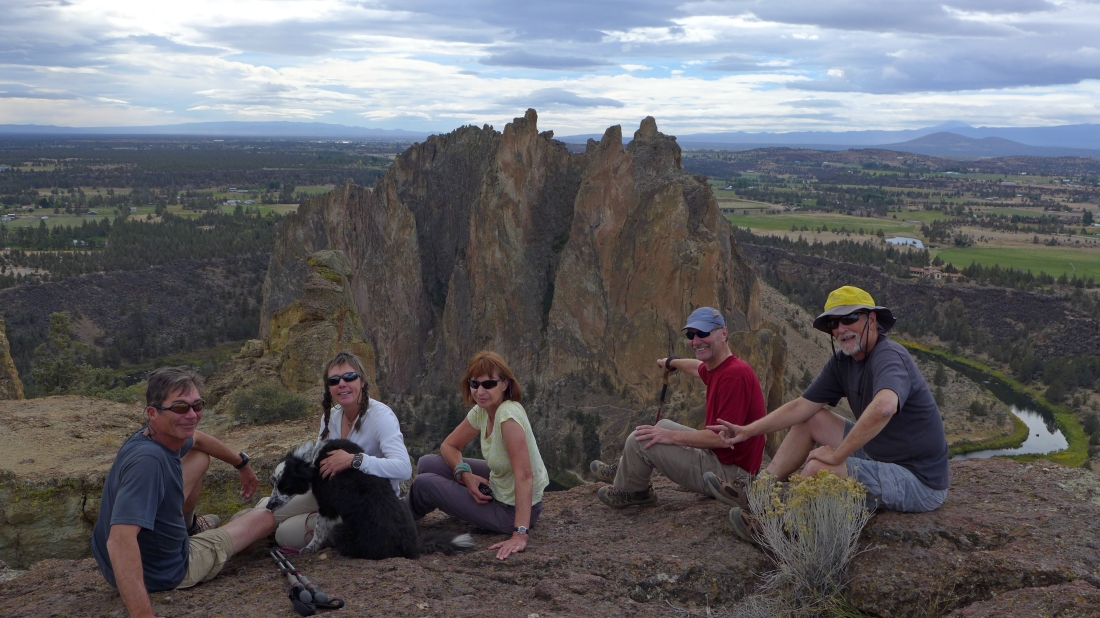
We are on the summit of Misery Ridge... Gail and Rob stayed over there with several other folks.
|
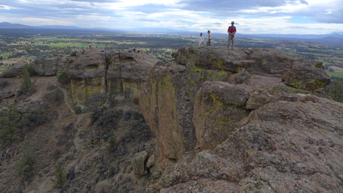
On the summit of Misery Ridge.
|

A selfie near the summit of Misery Ridge... Smith Rock is behind us.
|
Looking at the summit of Misery Ridge from our selfie spot... Gray Butte in the distance on the right... the Crooked River is below.
|
Heading down now... and looking up at the summit of Misery Ridge.
|
On the Misery Ridge Trail and heading down.
|
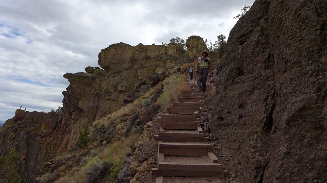
There are some steps on the Misery Ridge Trail.
|
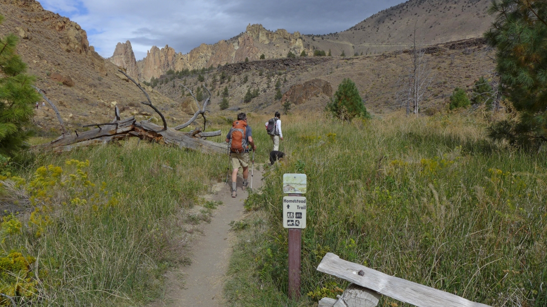
When we get down to the river we will cross the bridge and turn left onto the Homestead Trail.
|

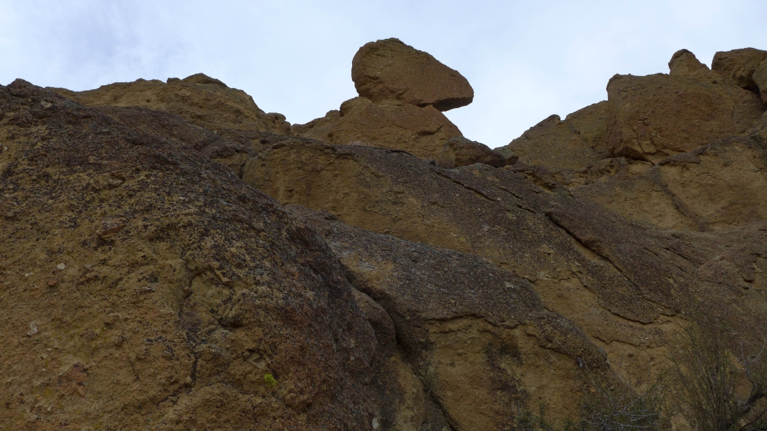
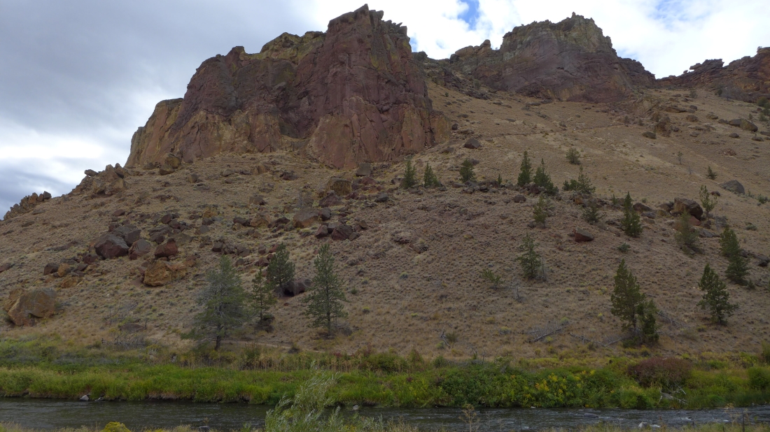
A nice rock feature.
|
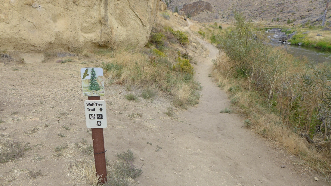
When we got down to the river we took the Wolf Tree Trail for a very short distance... but don't do this unless you plan to either ford the river or return to this spot... we want to be on the other side of the river and take the Homestead Trail.
|
We corrected our 'Wolf Tree Trail' error... crossed the bridge and turned left onto the Homestead Trail.
|
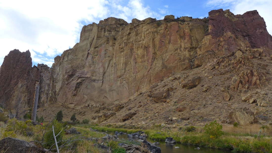
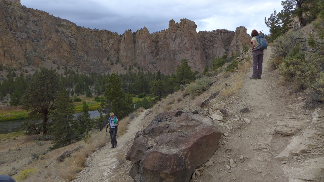
On the Homestead Trail... looking back at Picnic Lunch Wall... the Misery Ridge Trail goes to the right of the wall.
|
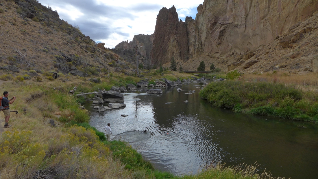
Izzy gets to go swimming.
|
Still on the Homestead Trail... looking across the Crooked River at the trail going up to Misery Ridge.
|
Following the Homestead Trail as it climbs above the Crooked River and up to our car... a 4.2 mile figure-eight hike, gaining 1787 feet of elevation.
|
