South Sister and Lewis Glacier Peak - 9.19.2016
Park at the Devils Lake Parking area (5444')... the South Sister Climbers Trail No. 36 is located next to the restrooms... our trip was 14.4 miles roundtrip, gaining 5166 feet of elevation.
|

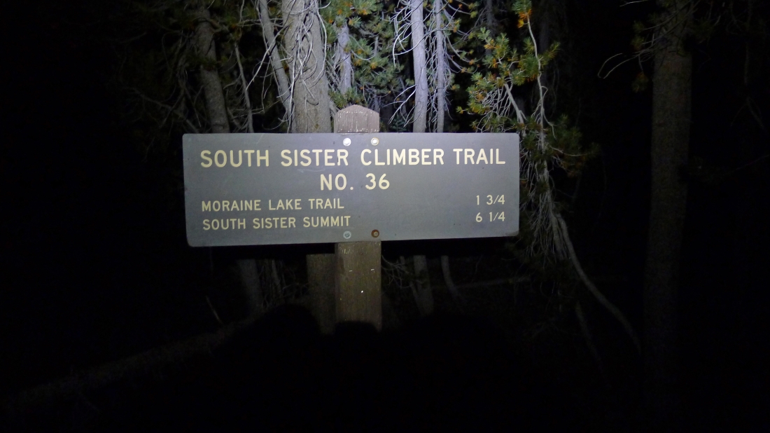
The first quarter-mile is treed and eventually goes across the highway where you will see this sign... and a hiking permit registration kiosk.
|

The first 1.5 miles was in the trees as we hiked between Kaleetan Butte and Devils Hill... gaining 1200 feet of elevation.
|
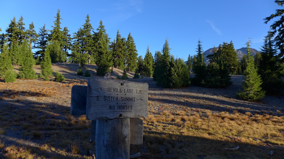
Coming out of the trees at 6600 feet... and our first view of South Sister.
|
Now we are going to hike a relatively flat 1.5 miles as we travel above Moraine Lake.
|
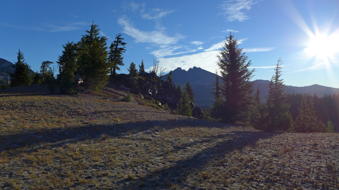
On relatively flat terrain... passing above Moraine Lake... here looking east to Broken Top.
|
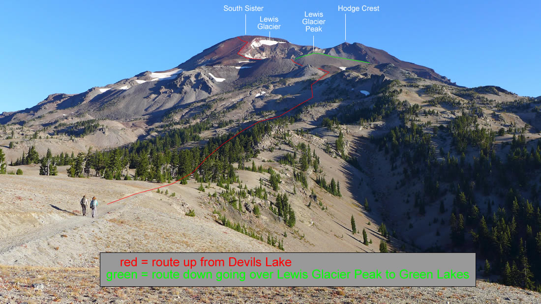
Above Moraine Lake and heading for steeper terrain... our approximate route to the South Sister summit.
|
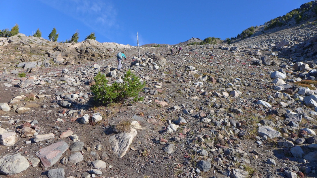
On steeper terrain after hiking a total of ~3 miles.
|
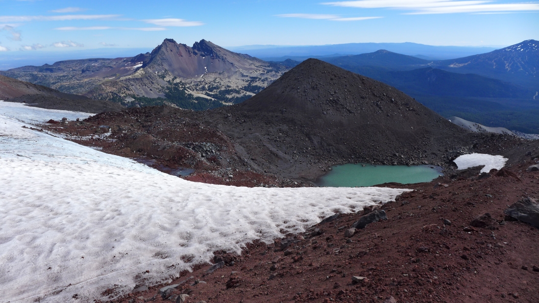
Nearing a beautiful tarn that sits (~8800') below the Lewis Glacier.
|

Looking back at our approximate route to the tarn at the foot of the Lewis Glacier.
|
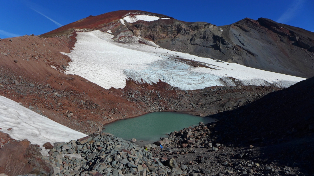
The tarn at 8800 feet... another 1500 feet of elevation gain will get us to the summit... Hodge Crest on the far right.
|

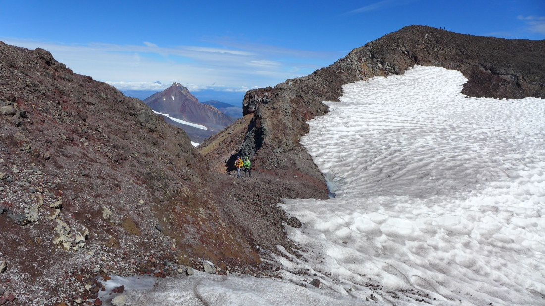
The route to the summit rim will follow along the west edge of the Lewis Glacier.
|
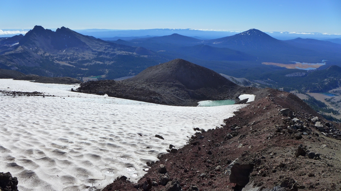
Looking back at the tarn and Lewis Glacier Peak in the foreground as we hike along the west edge of the Lewis Glacier... Broken Top in the distance on the far left... with Mt. Bachelor in the distance on the right.
|
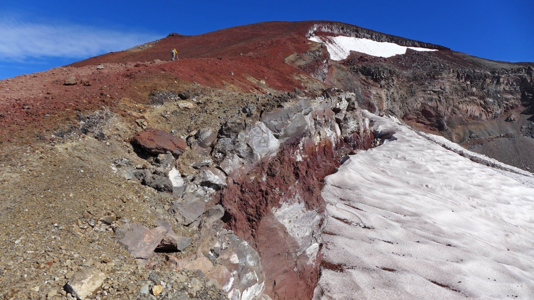
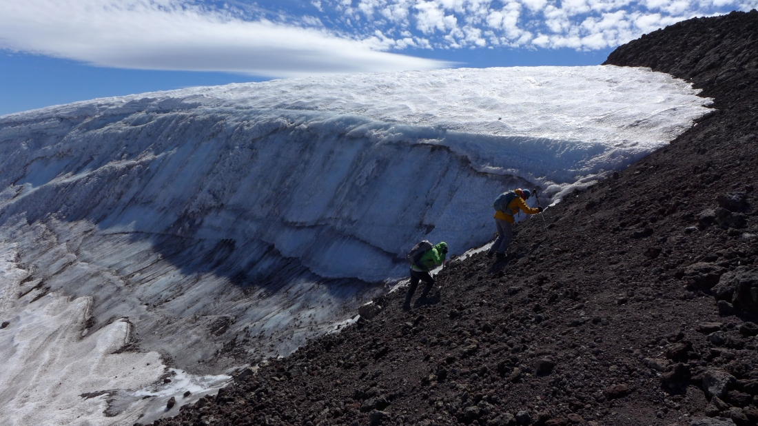
Barb and Elle heading for the summit rim... hiking along the edge of the Lewis Glacier.
|
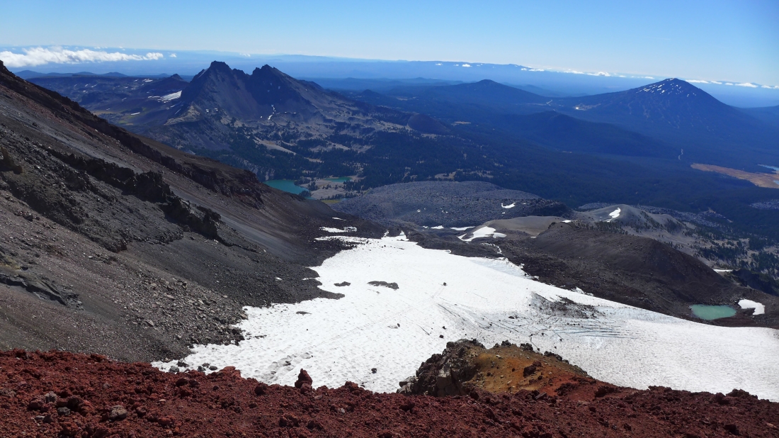
Looking back as we continue toward the summit rim of South Sister... high enough now to see Green Lakes on the left below Broken Top.
|
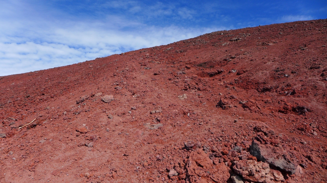
400 feet below the summit rim the trail turns away from the Lewis Glacier.
|
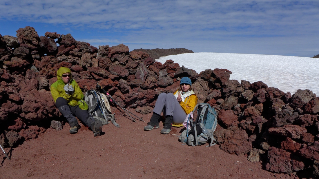
We found a nice wind-break on the summit rim (10,200')... a 10 to 20 MPH wind made it very chilly.
|
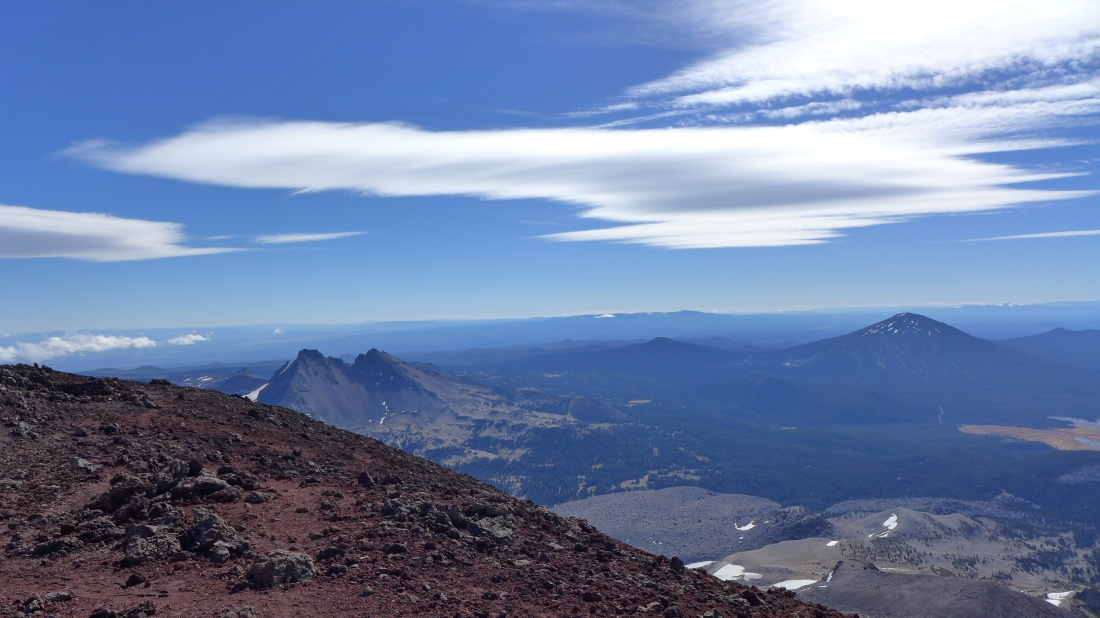
Looking at Broken Top (left) and Mt. Bachelor from the summit rim.
|

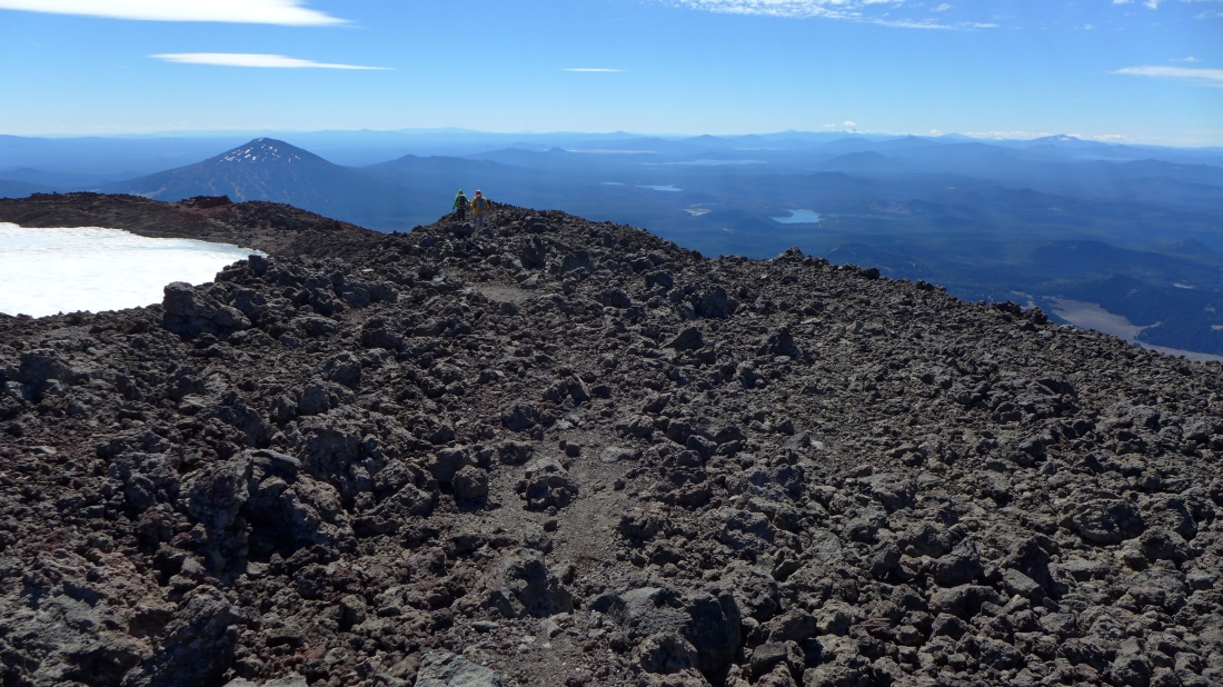
Hiking around the crater rim in a counter-clockwise direction... with the summit in view above.
|
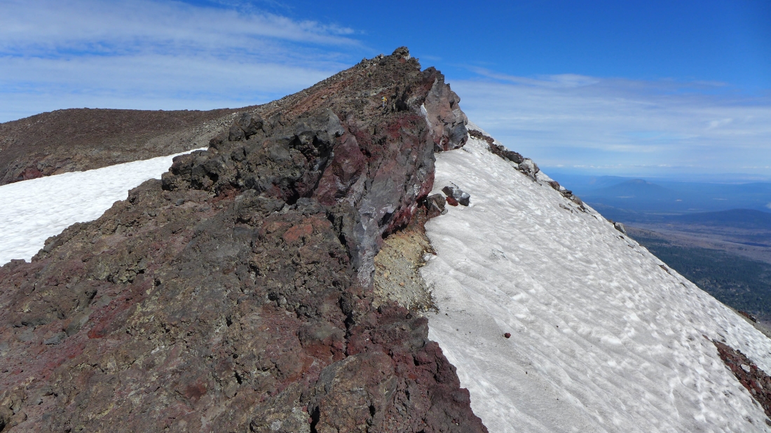
Nearing the South Sister summit.
|
Elle is on the summit... with North Sister and some of the Chambers Lakes coming into view.
|

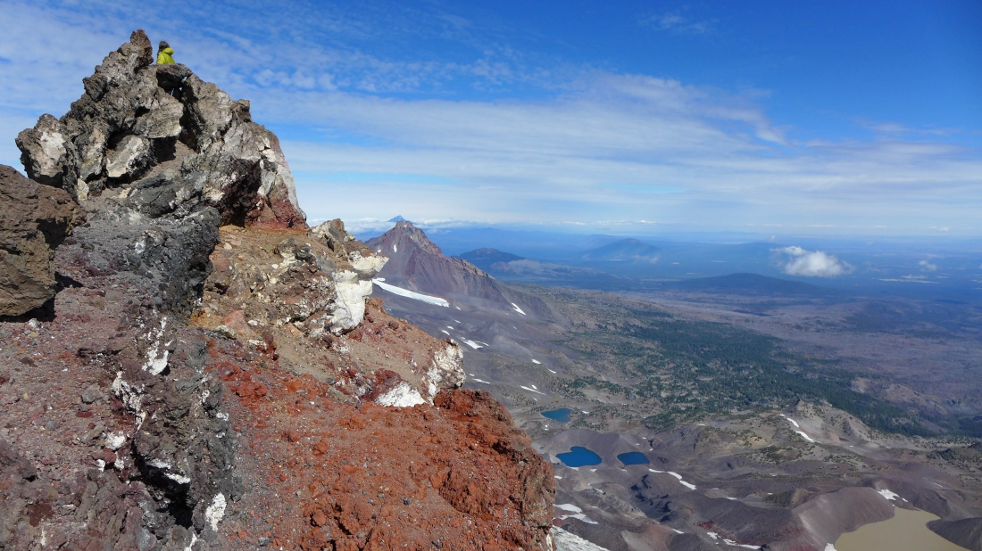
Looking across Hodge Crest in the foreground to Broken Top... and one of the Green Lakes.
|
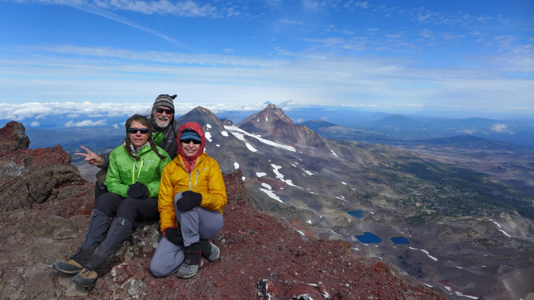
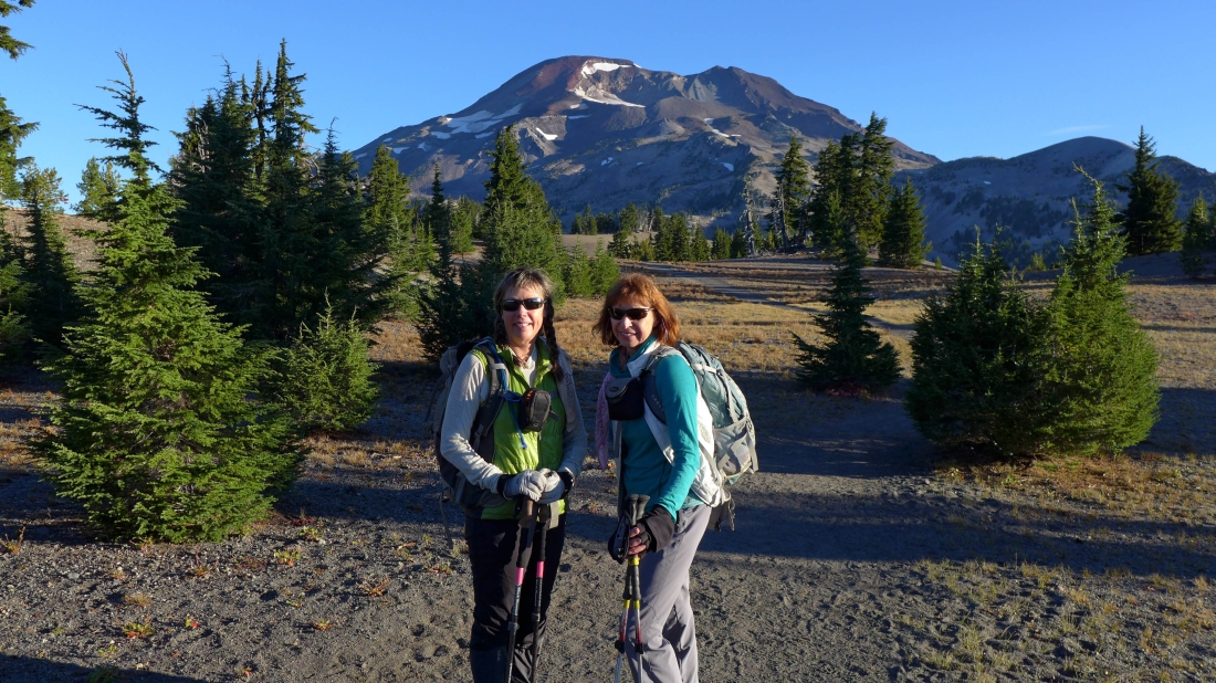
Group shot near the summit (10,358') of South Sister... with Middle Sister and North Sister behind us... and some of the Chambers Lakes down below.
|
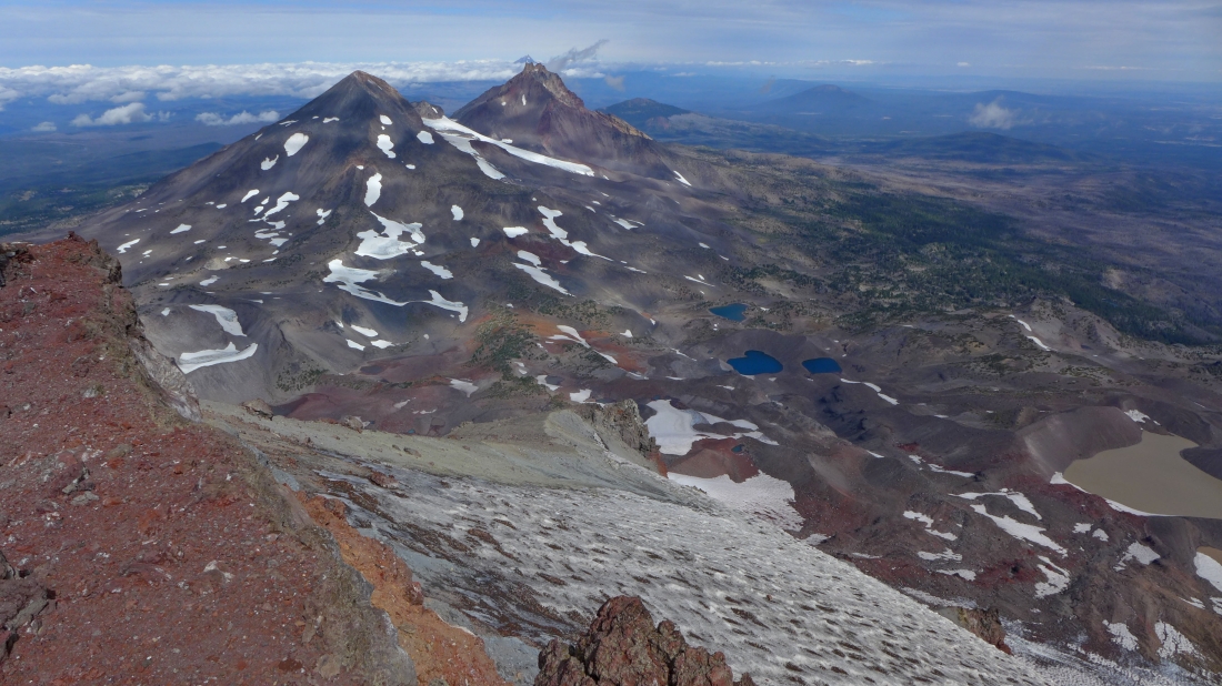
Middle Sister and North Sister from near the summit of South Sister... and all of the Chambers Lakes.
|
The Sisters... Barb, Elle, Middle and North.
|

Continuing along the crater rim.
|
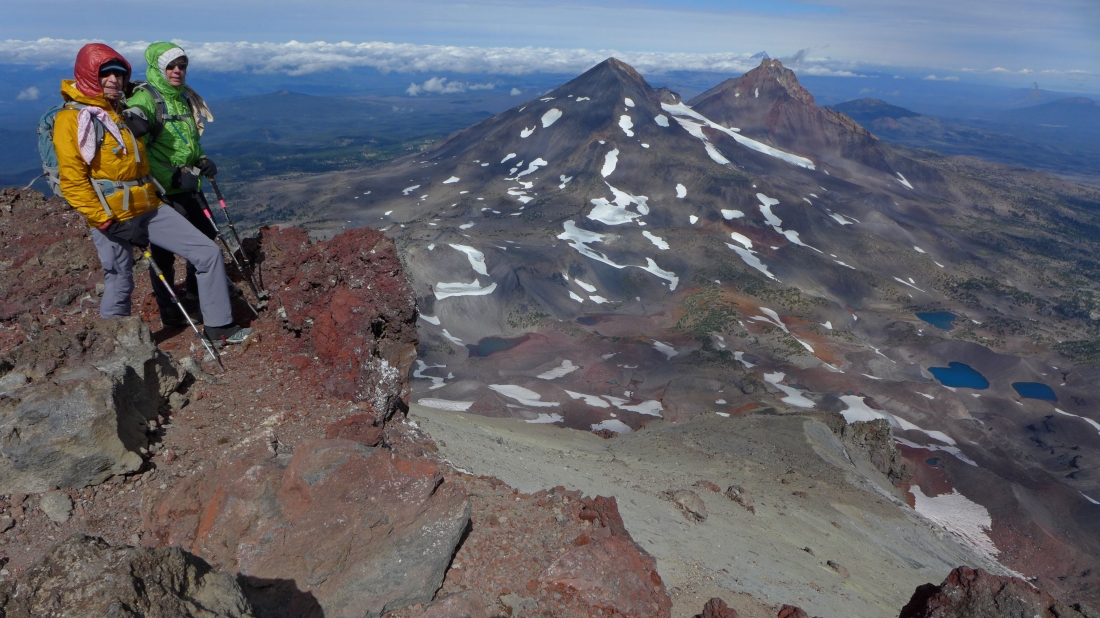
Middle Sister, North Sister and Chambers Lakes as we continue along the crater rim.
|
A pano shot from the crater rim... the summit is on the left.
|
Continuing along the crater rim... with North Sister through the gap.
|
Steeper than it looks here... still hiking along the crater rim.
|
|
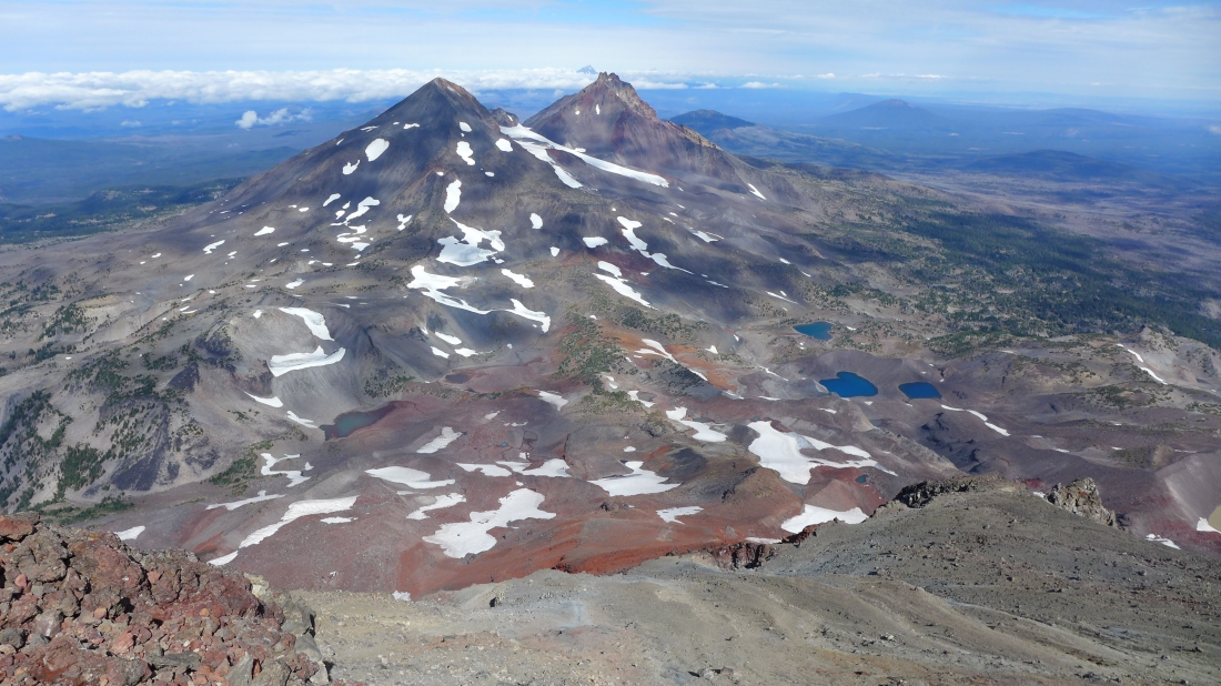
Middle Sister and North Sister from the crater rim of South Sister... Teardrop Pool is in the center of the crater... many years ago (1988) it had enough melt to look like a small tarn... but I haven't seen it look like a tarn for the last 15 years.
|
Closing our loop that goes around the crater rim.
|
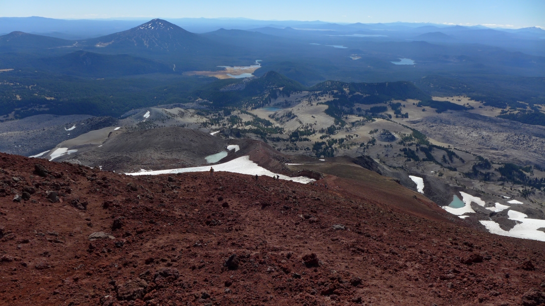
Heading down toward the 8800 foot tarn.
|

Nearing the 8800 foot tarn... with Lewis Glacier Peak in the foreground.
|
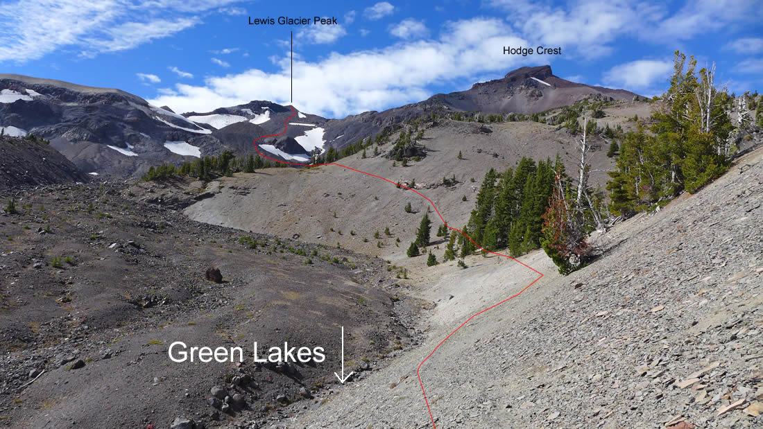
When we get back to the 8800 foot tarn we will cross over Lewis Glacier Peak and go down to Green Lakes on our return.
|
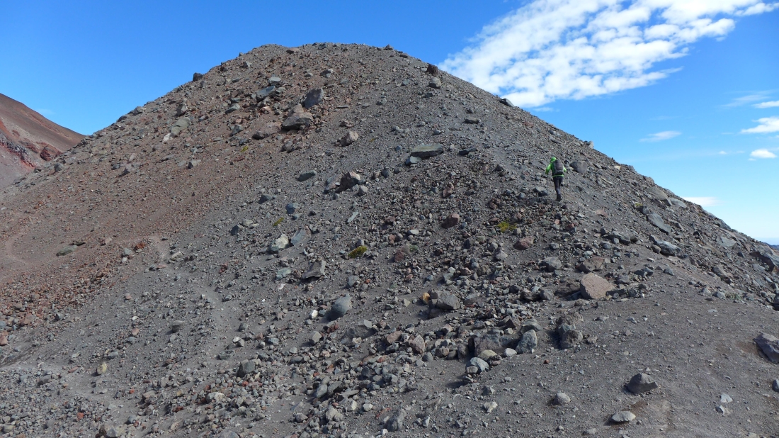
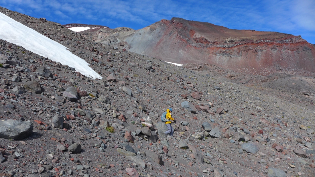
Elle starts up Lewis Glacier Peak... it was really windy.
|
On the summit (9017') of Lewis Glacier Peak... looking down at Green Lakes and over to Broken Top... the summit of Broken Top is less than 100 feet above us now.
|
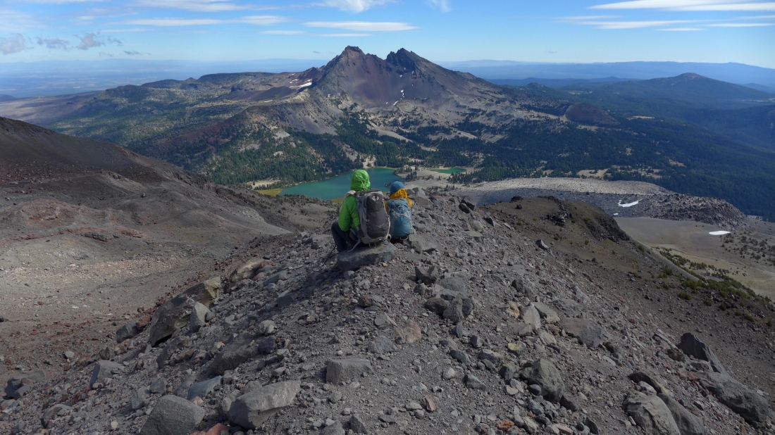
Heading for Green Lakes... there is a faint path most of the way... and cairns help where the path is hard to follow.
|

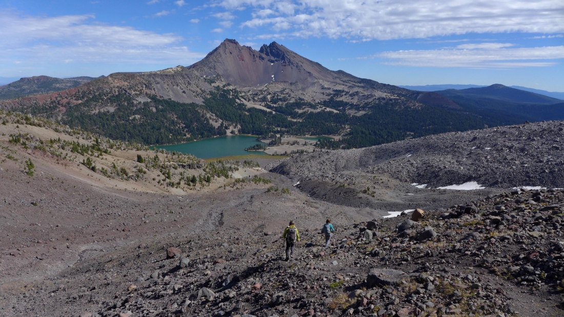
It feels like we are getting close to Green Lakes... however, it will take us two hours to get from the 8800 foot tarn down to the lakes.
|
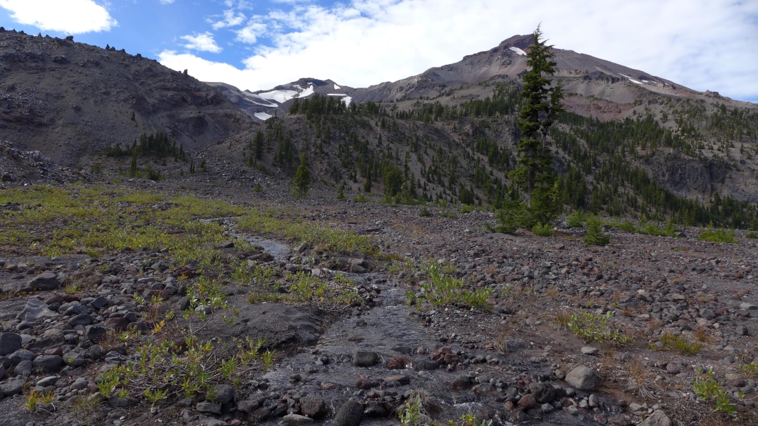
Barb continues down on what used to be a glacier... Hodge Crest is above.
|
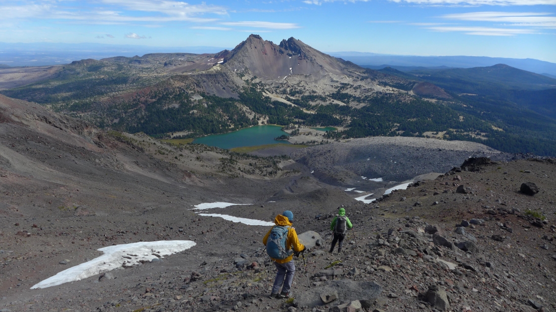
Still some work to do in reaching Green Lakes.
|
Will we ever get there?
|
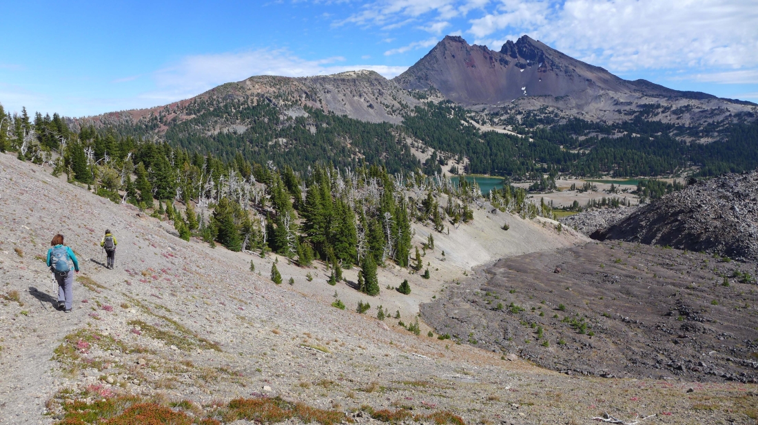
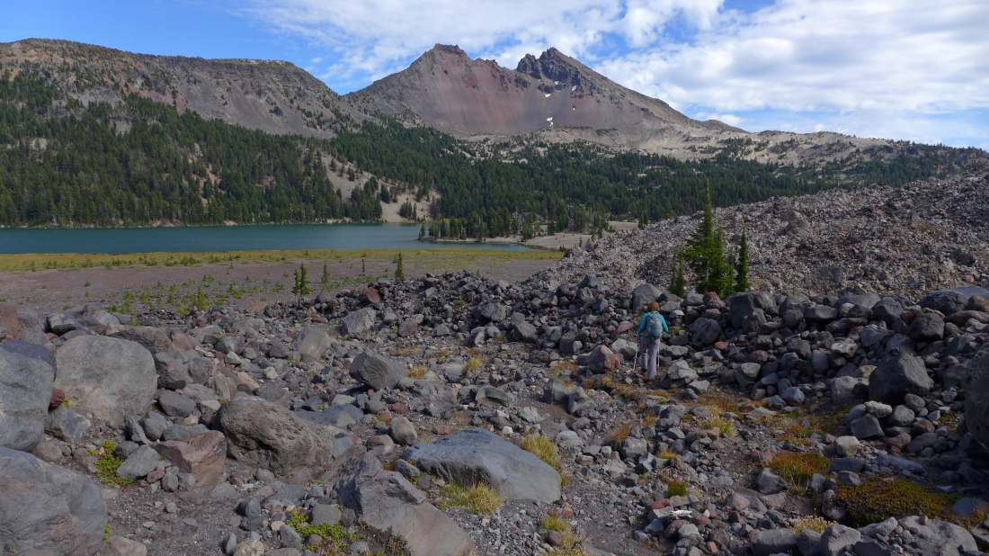
Looking back at our approximate route down from Lewis Glacier Peak.
|

Getting close to Green Lakes now.
|
On flat ground now.
|
Looking back at our route down to the lakes.
|
Our spouses have hiked into Green Lakes and will escort us back to a car waiting for us at the Green Lakes Trailhead.
|
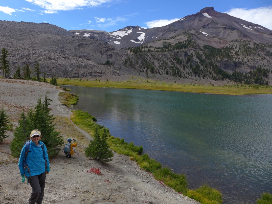
My escort waiting at Green Lakes for me to arrive.
|
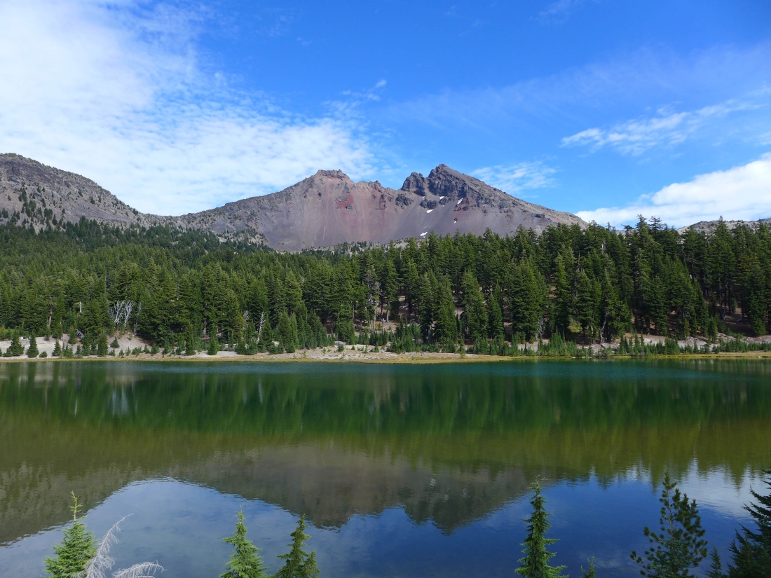
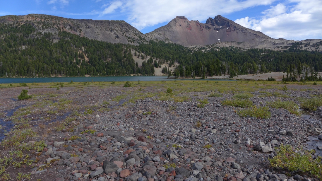
One of the Green Lakes... with Broken Top in the distance.
|
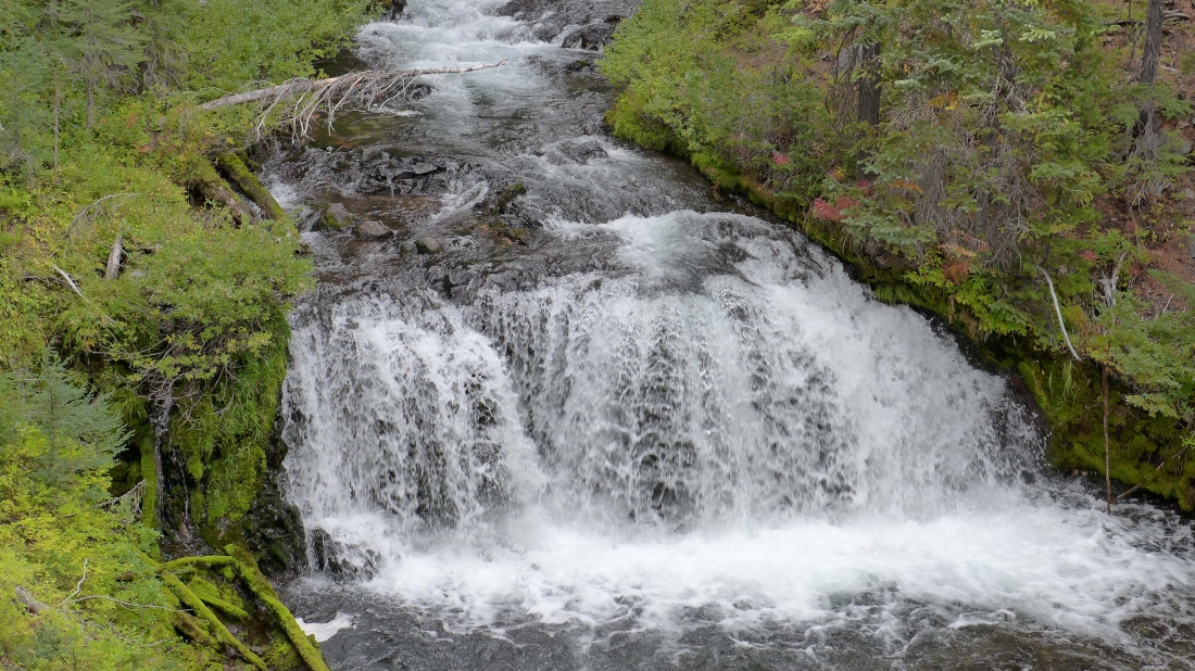
From Green Lakes it is a four mile hike back to the car... and most of the hike follows along Fall Creek which has many many waterfalls like this one.
|
