Davis Peak - 11.8.2016
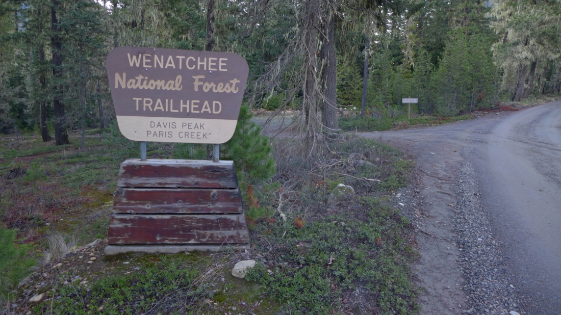
Drive Forest Service Road 4330 to this obvious sign... and turn left onto an unsigned Road 134.
|
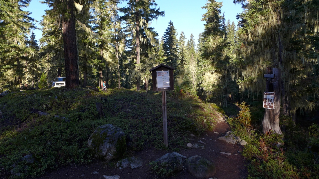
Drive Road 134 for .6 miles and park at the trailhead for Davis Peak Trail #1324.
|
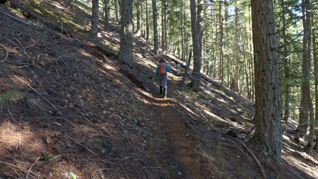
The trail to the old lookout site has a bizillion nicely graded switchbacks.
|
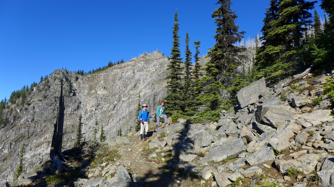
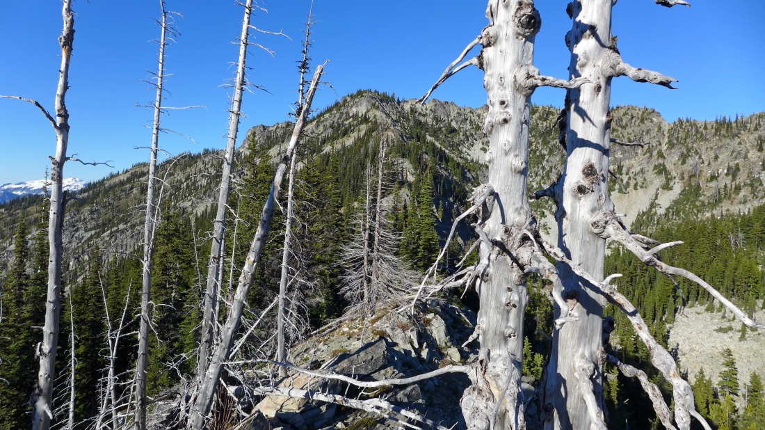
We have come out of the forest and can see Point 5988 above.
|
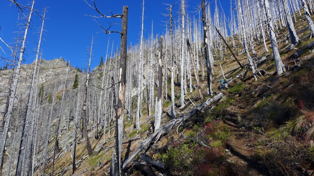
Continuing through a silver forest... as the trail switchbacks up to the 'V' in the left center of the photo.
|
We are heading for the old lookout site on the right.
|
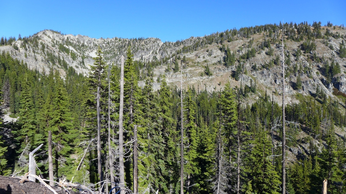
At the base of Point 5988.
|
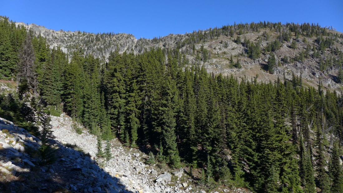
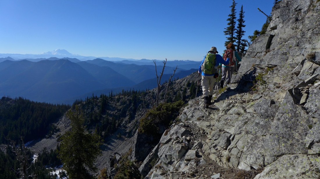
The trail will take us into the bowl on the south side of Davis Peak and on up to the old lookout site on the right.
|
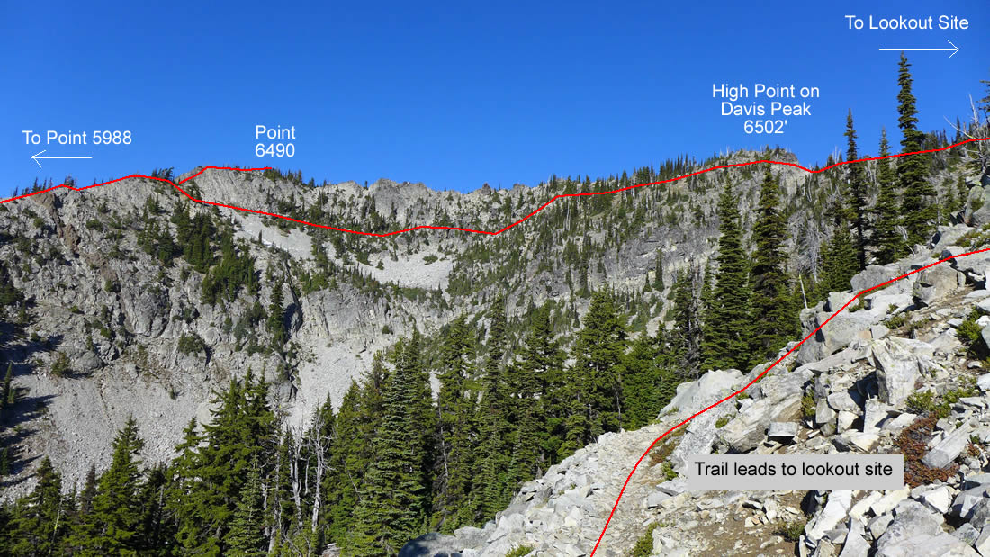
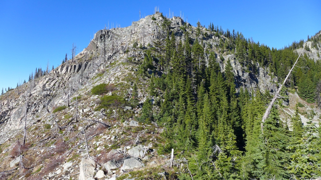
Above the bowl now and on the trail leading up to the old lookout site... showing the approximate route that we will take after visiting the lookout site.
|
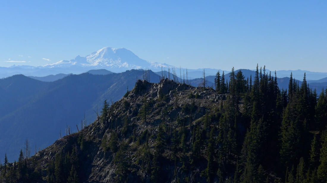
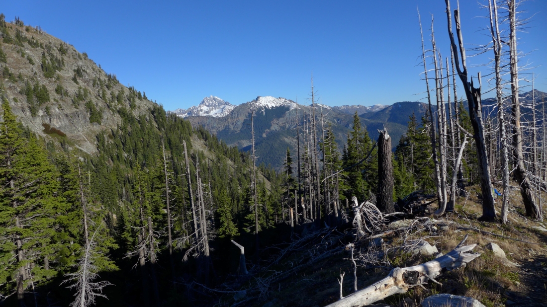
Looking across Point 5988 to Mt. Rainier on the horizon... we will visit Point 5988 later in the day.
|
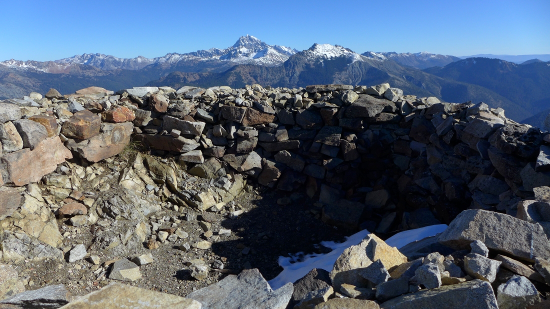
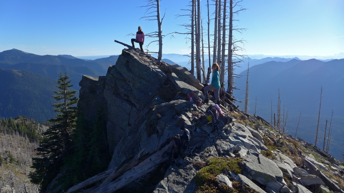
A nice wind-break at the old lookout site on Davis Peak (6426')... Mt. Stuart and Hawkins Mountain stand out in the center of the photo.
|
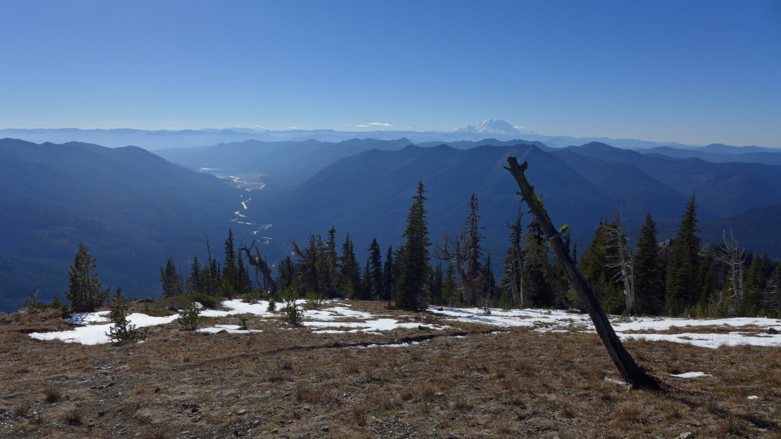
Looking south from the old lookout site... following the Cle Elum River down to Cle Elum Lake.
|
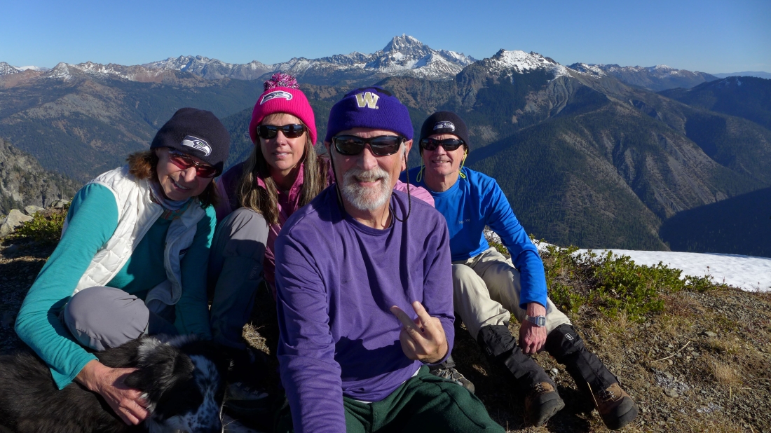
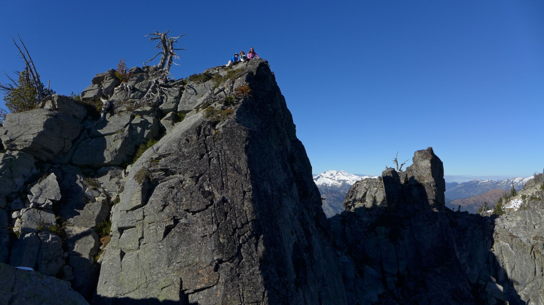
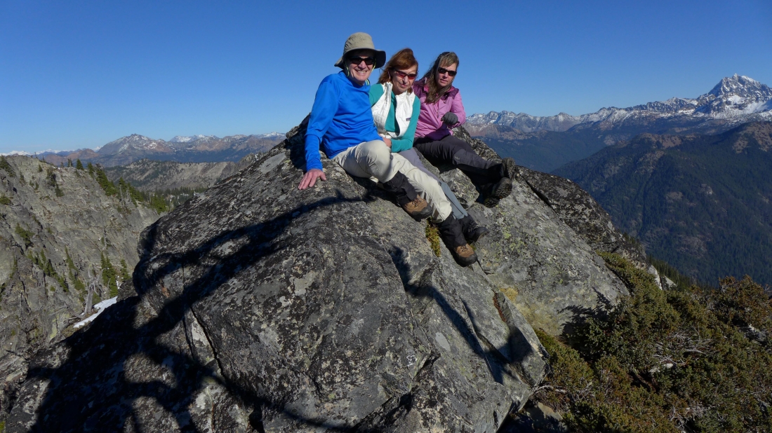
Group photo on the Davis Peak lookout site... BarbE, Snowdog, ragman and rodman.
|
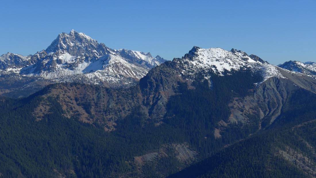
A closeup of Mt. Stuart and Hawkins Mountain from the Davis Peak lookout site.
|
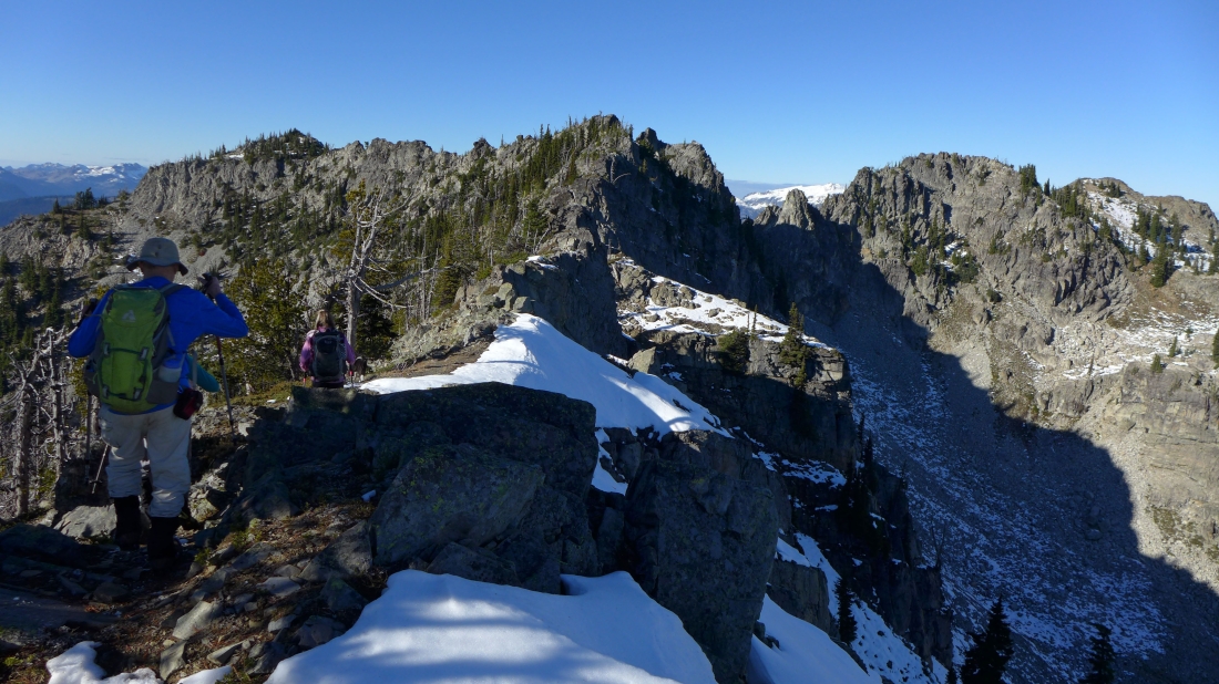
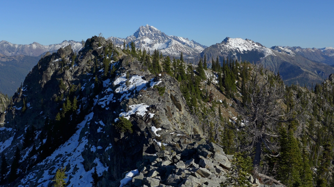
Continuing NW along the ridge... heading for the high point (6502') of Davis Peak in the center of the photo... Point 6490 is the treed pyramid on the left.
|
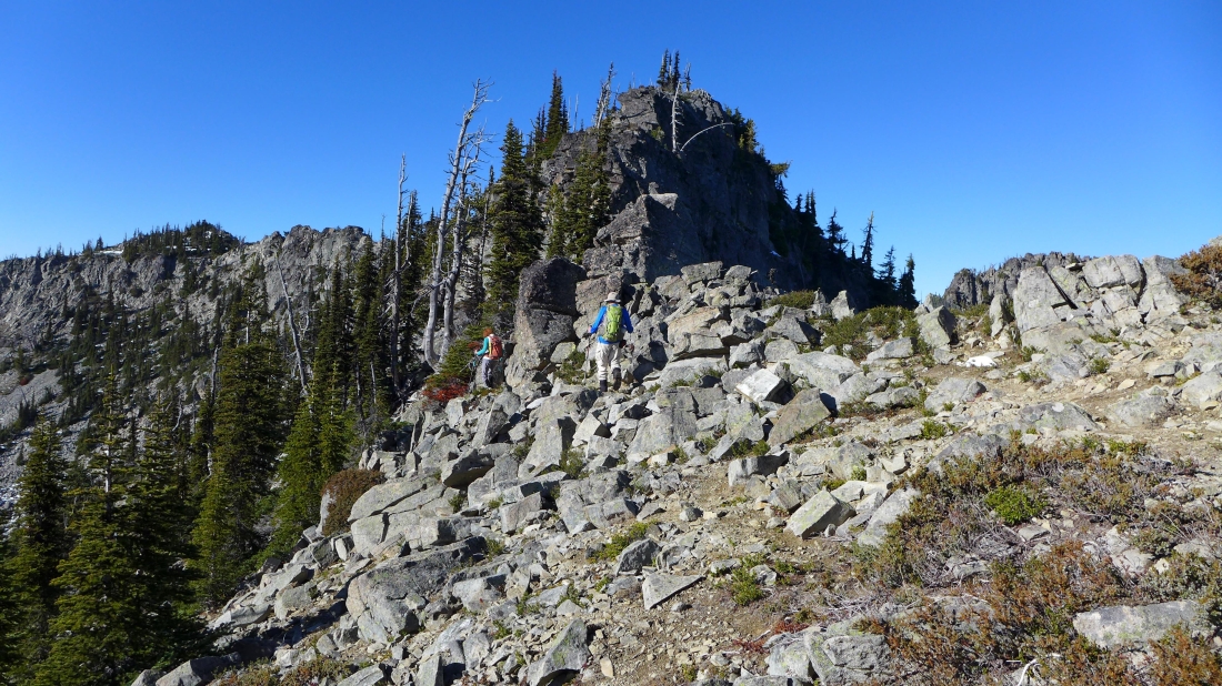
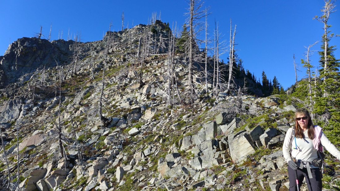
The high point of Davis Peak is above.
|

Below the high point of Davis Peak... but lets find an easier way to the summit than what we see here.
|
Working our way over to where we can find an easier way up to the Davis Peak high point.... Point 5988 is on the far left.
|
rodman, BarbE and Snowdog on the summit (6502') of Davis Peak... Mt. Daniel is on the horizon.
|
Hanging out on the summit of Davis Peak... Mt. Stuart on the far right.
|
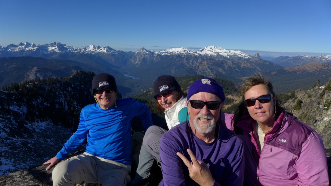
Group shot on the summit of Davis Peak... with the 5 summits of Lemah Mountain on the far left... then Chimney Rock... the 3 summits of Summit Chief Mountain... Bears Breast Mountain, Mt. Hinman, Mt. Daniel and Cathedral Rock.
|

Now heading SW along the ridge... where we followed a faint path underneath very steep cliffs on our way over to the south ridge of Davis Peak.
|
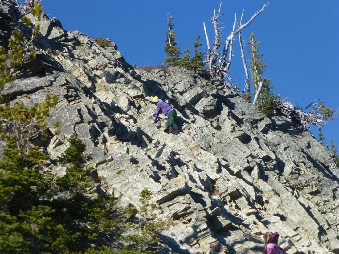
We have reached the south ridge of Davis Peak... Barb got this shot of me going up the Class 3/4 terrain on my way up to Point 6490.
|
I'm on Point 6490... looking along the ridge over to the summit in the left foreground... and on out to Stuart and Hawkins.
|
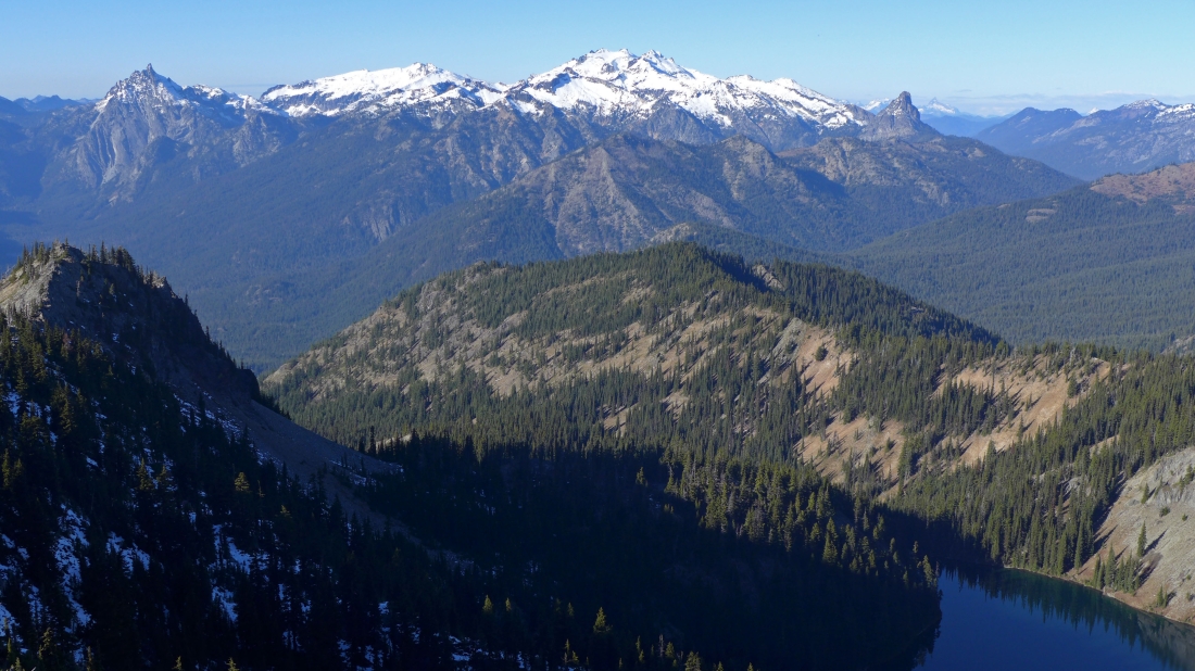
On Point 6490... looking down on Lake Terence... with Bears Breast, Hinman, Daniel and Cathedral Rock in the distance.
|
Leaving Point 6490 on the south ridge of Davis Peak... heading for Point 5988 in the right foreground.
|
Looking back at Point 6490 as we work our way down to Point 5988.
|
On top of Point 5988.
|
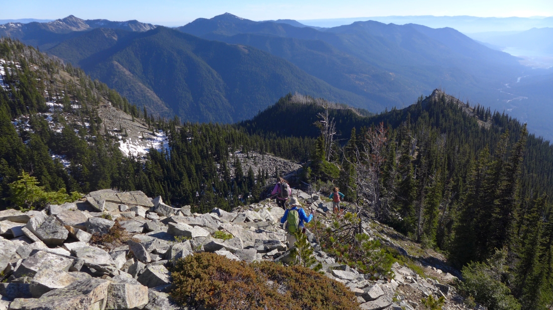
Watching BarbE and rodman coming down from Point 5988... Snowdog and I are back on the maintained trail and have completed the loop portion of our trip.
|
Back on the maintained trail and heading back to the barn... our trip was 9.4 miles roundtrip, gaining 4318 feet of elevation.
|
