Quail Mountain and Point 5787 - 1.28.2017

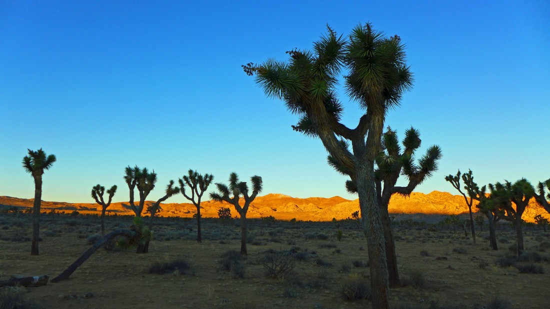
I started this cross-country trip from a paved pull-out on Park Blvd road... south of the Hidden Valley Campground and north of Cap Rock. Quail Mtn is on the sunny horizon... with a dusting of snow on it.
|
It was 30 degrees at 7:30 in the morning when I started hiking.
|
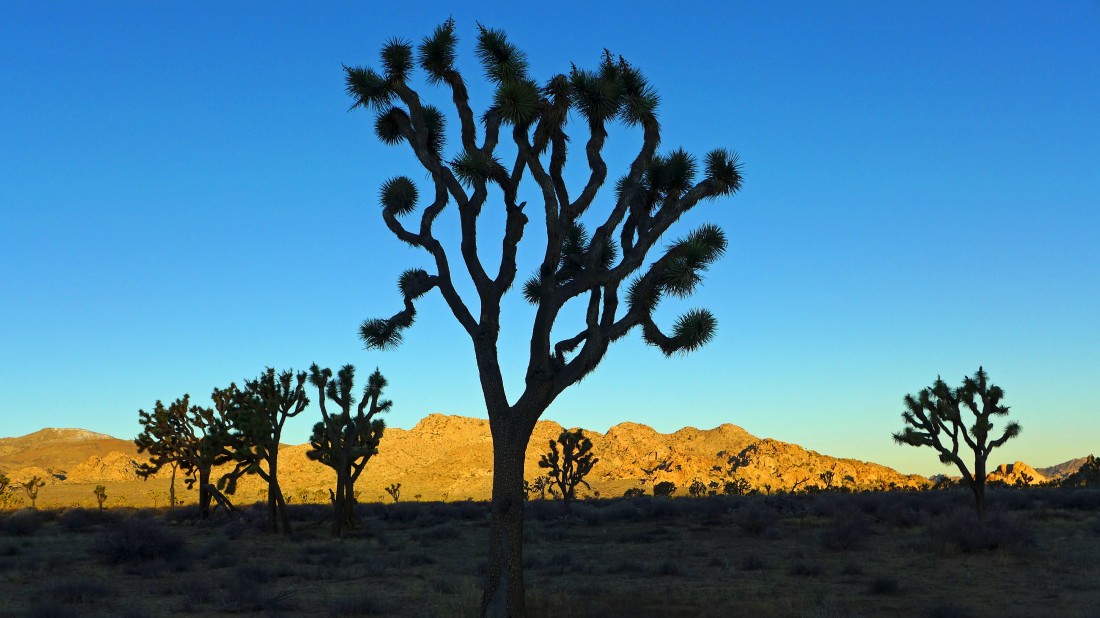
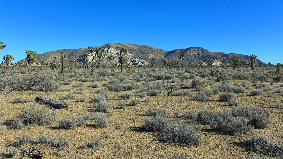
The frozen desert actually made it easier for hiking because I didn't sink into the desert floor with each step... heading for the peak on the far left with the dusting of snow on it.
|
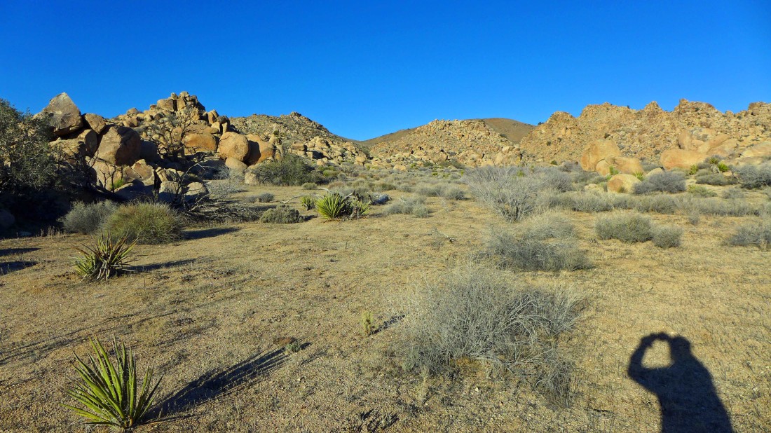
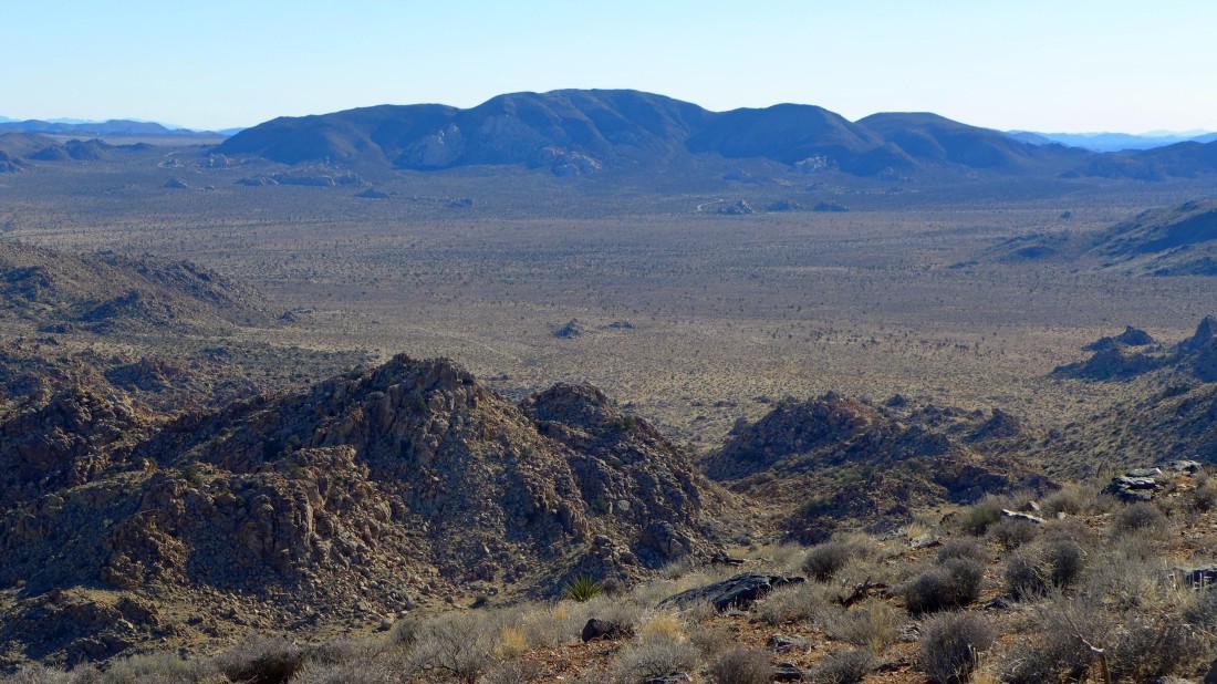
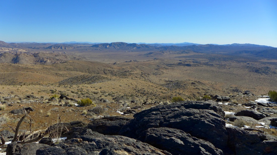
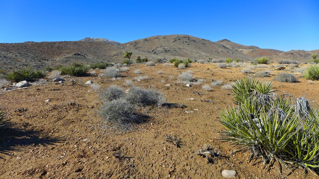
I've hiked on the fairly flat desert floor for ~2.5 miles... now I need to get onto the other side of these rocks.
|
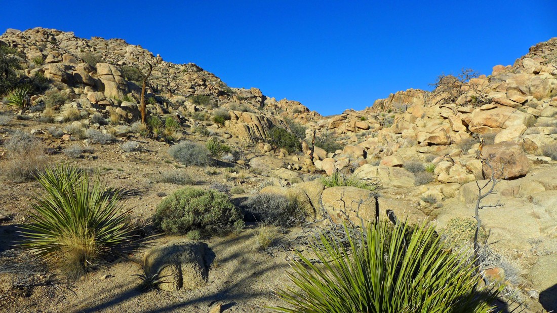
The rocks get bigger as I approach.
|
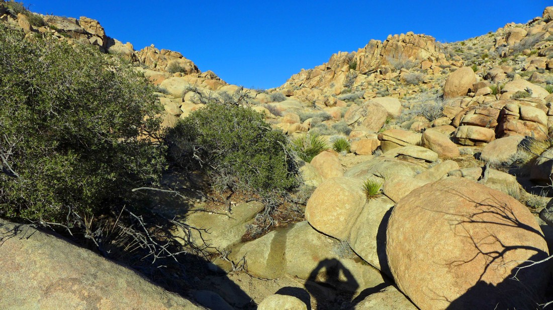
Working through the boulders... fairly easy to get over and around them.
|
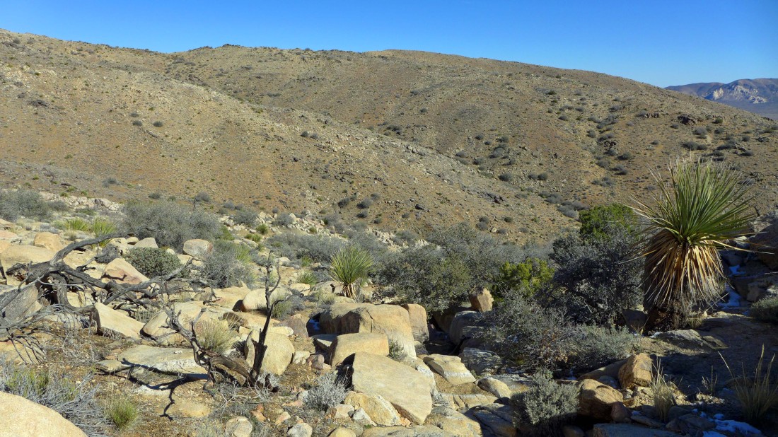
On the other side of the rocks now... and into the foothills on the east side of Quail Mtn.
|
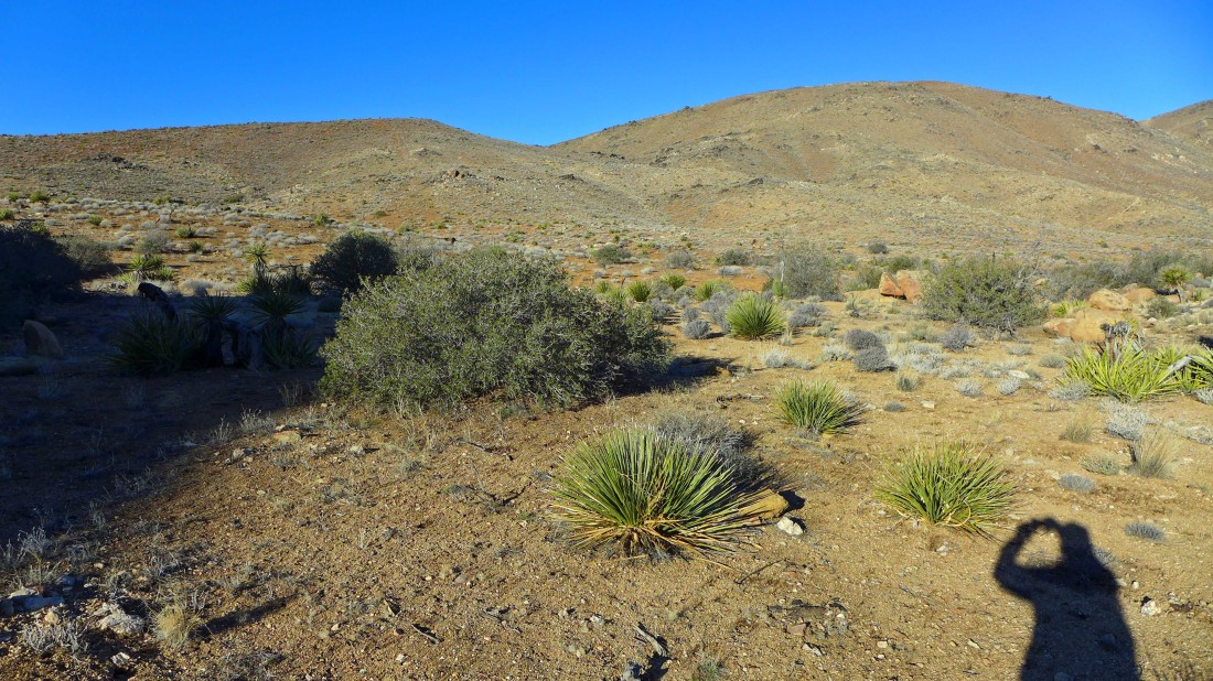
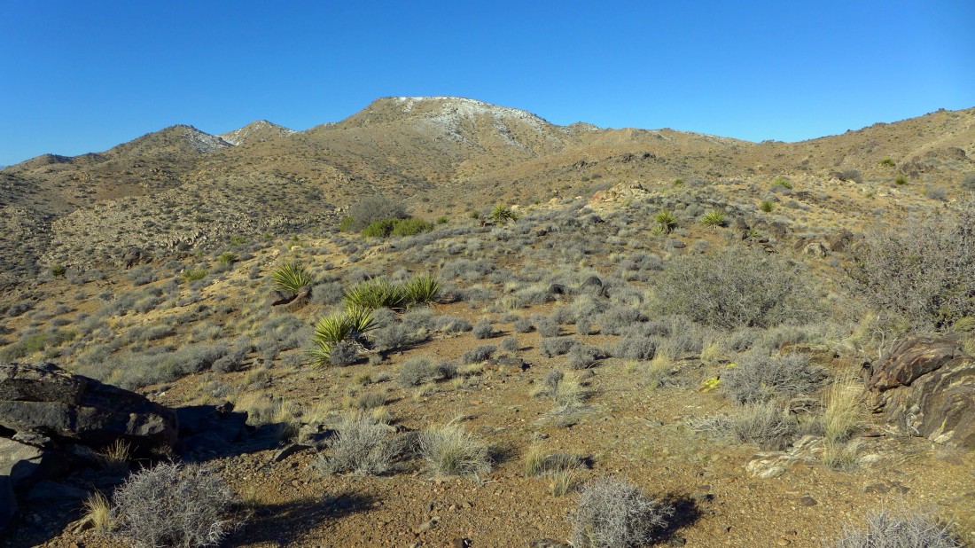
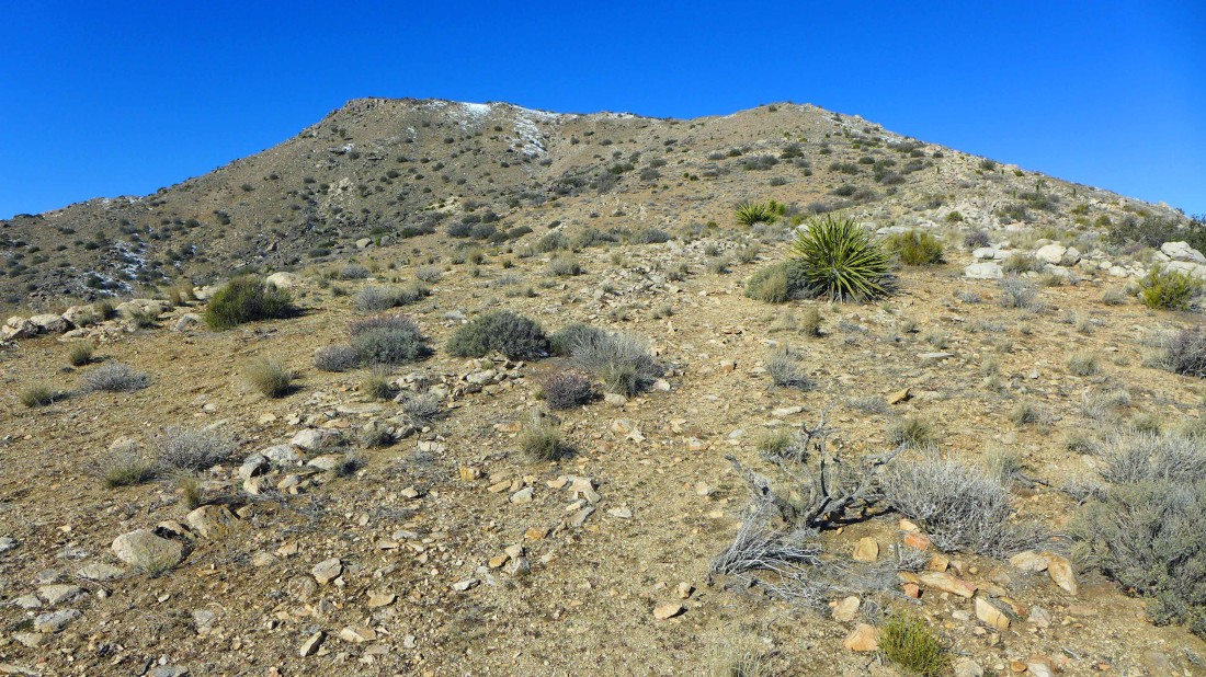
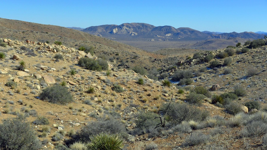
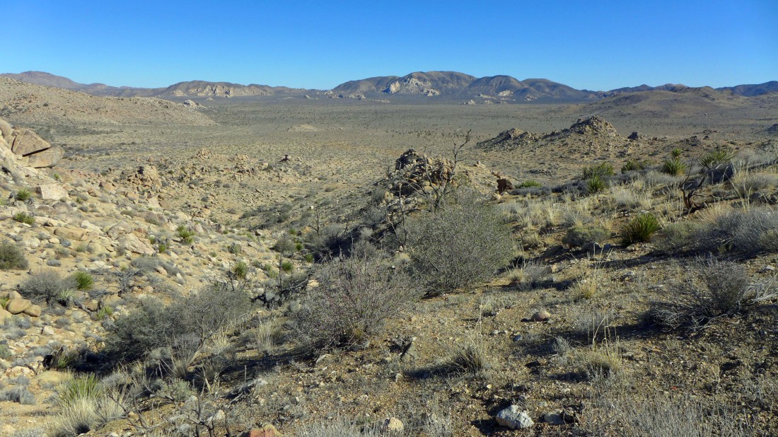
In the foothills east of Quail Mtn... trying to navigate through several ups and downs... my summit is on the right... the San Jacinto Mountains are coming into view on the left horizon.
|
Gaining elevation and looking back at Hidden Valley... and the amazing 'Wonderland of Rocks' that runs left to right near the top of the photo.
|
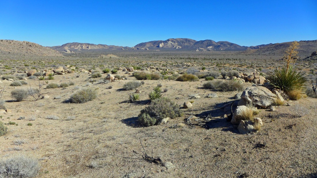
Gaining elevation and looking east across Lost Horse Valley to Ryan Mountain.
|
Getting closer to my objective.
|
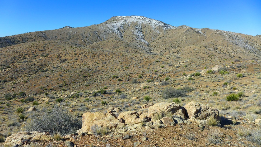
Getting closer.
|
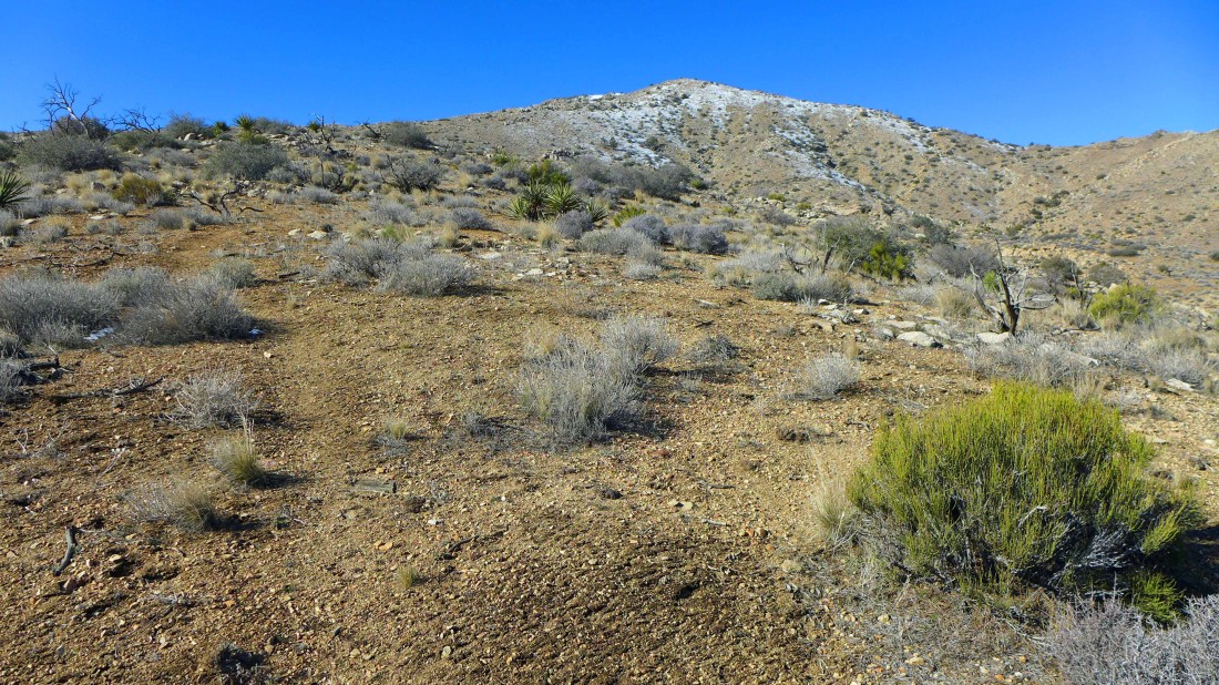
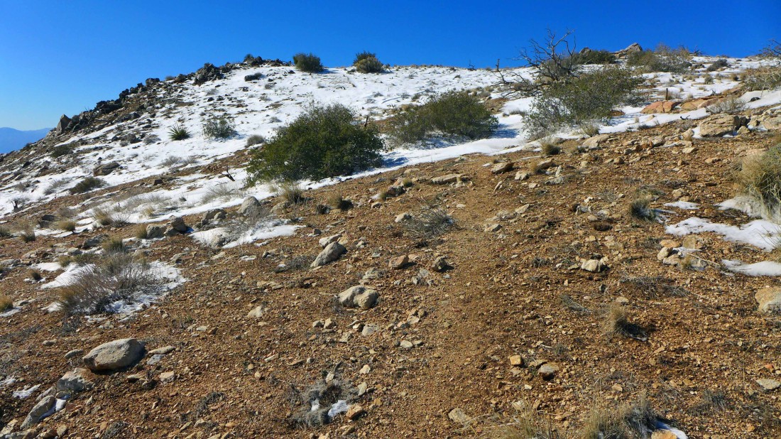
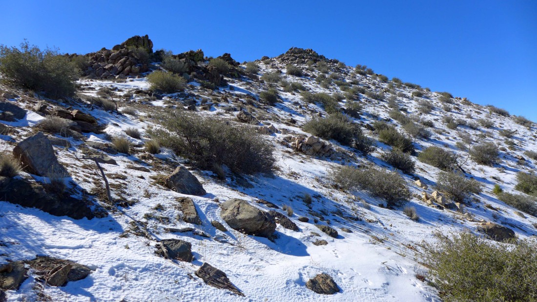
Whoa... with about a half-mile left to reach the summit I found a good boot path.
|
Nearing the summit... no more 'ups and downs'... just up.
|
Only a few steps left.
|
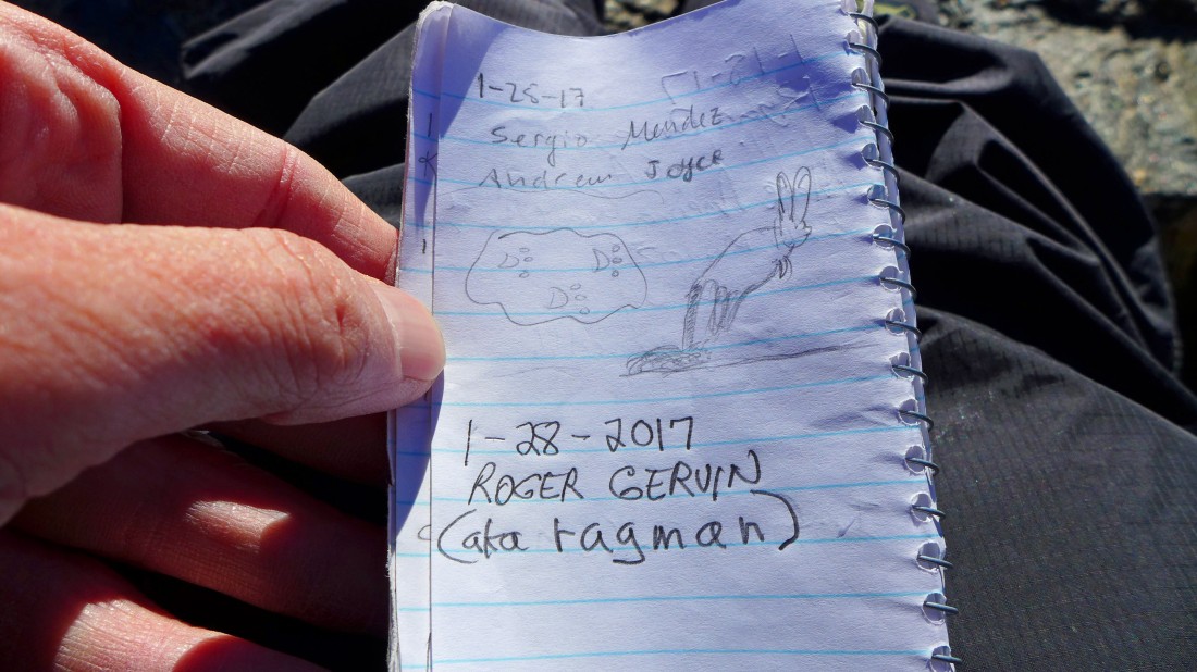
I signed the summit register... at 5813 feet, Quail Mountain is the highest point in Joshua Tree National Park.
|
Hidden Valley and 'Wonderland of Rocks' to the left in the foreground... beyond that is Yucca Valley on the left... Queen Mountain is the dark mountain in the distance on the right... behind 'Wonderland of Rocks'.
|
Left center... looking across Lost Horse Valley to Ryan Mountain... with Juniper Flats below on the right.
|
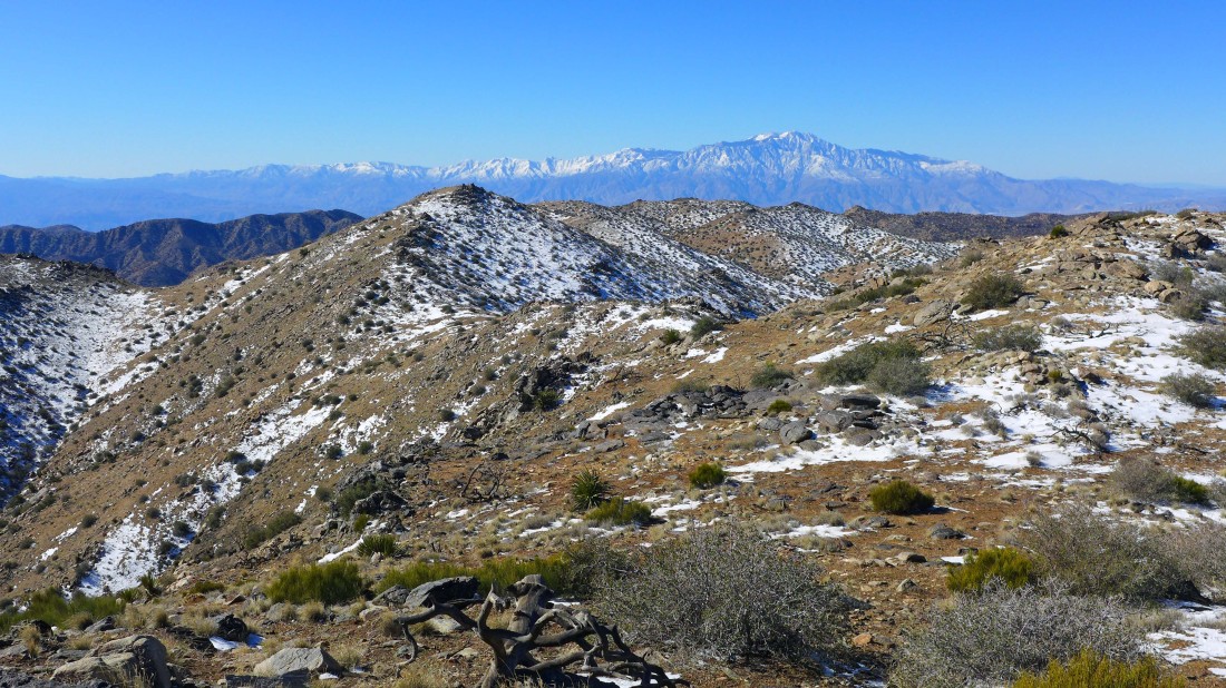
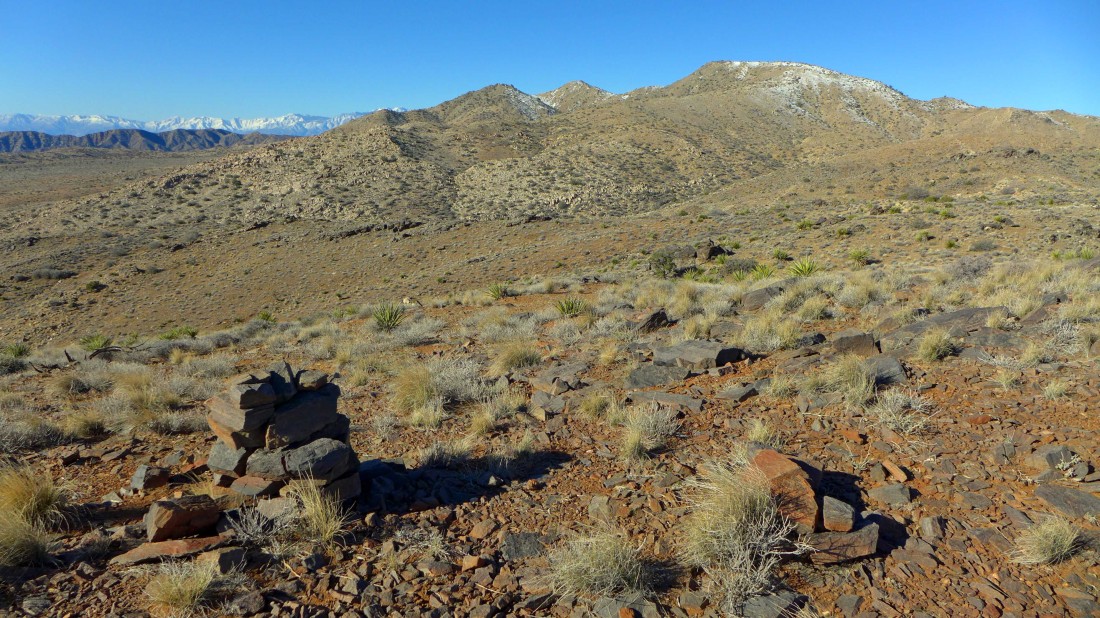
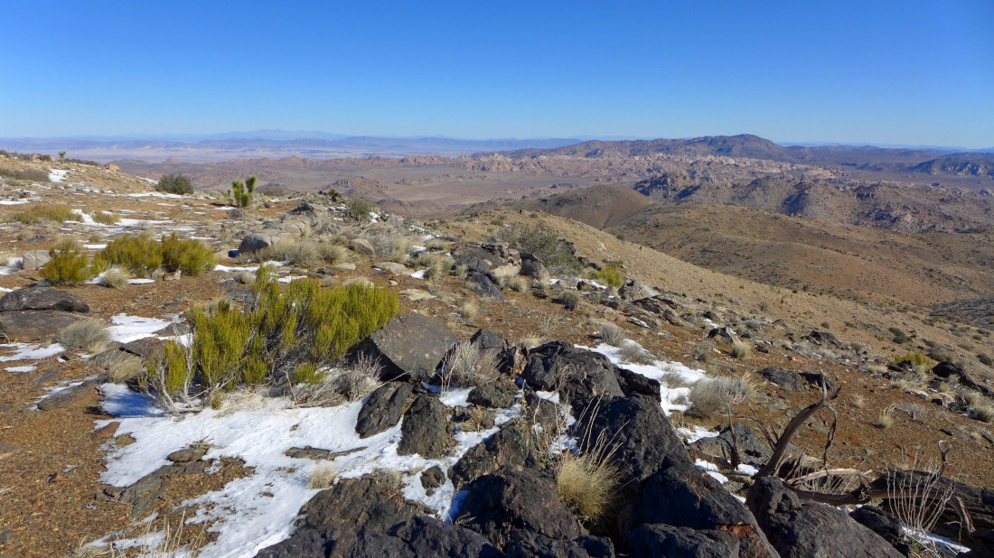
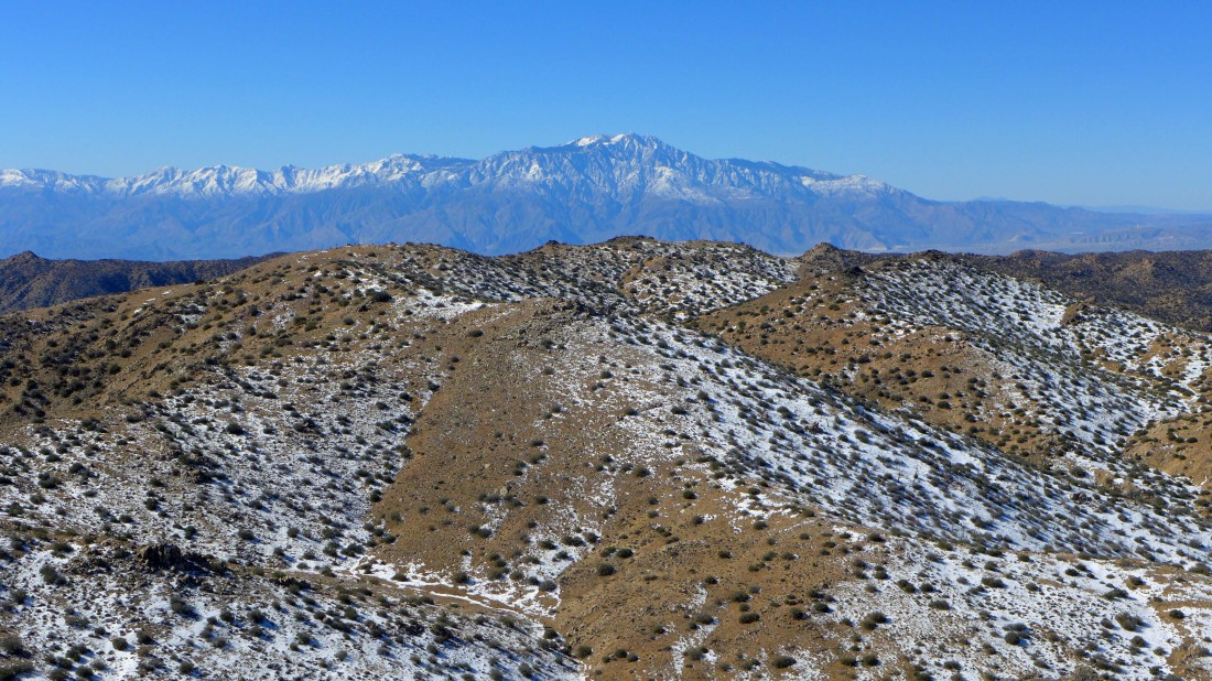
Looking SW from the Quail Mtn summit to Point 5787 in the foreground... and on over to the snow-covered San Jacinto Mountains.
|
I am going over to Point 5787 to see if there is a better view.
|
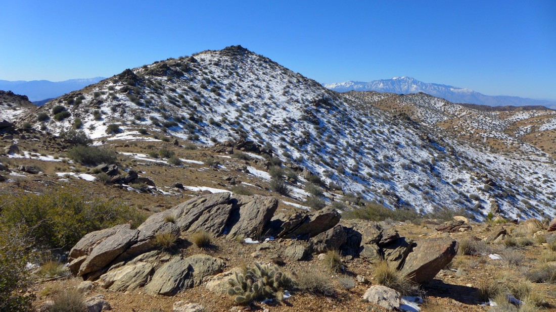
Nearing the summit of Point 5787.
|
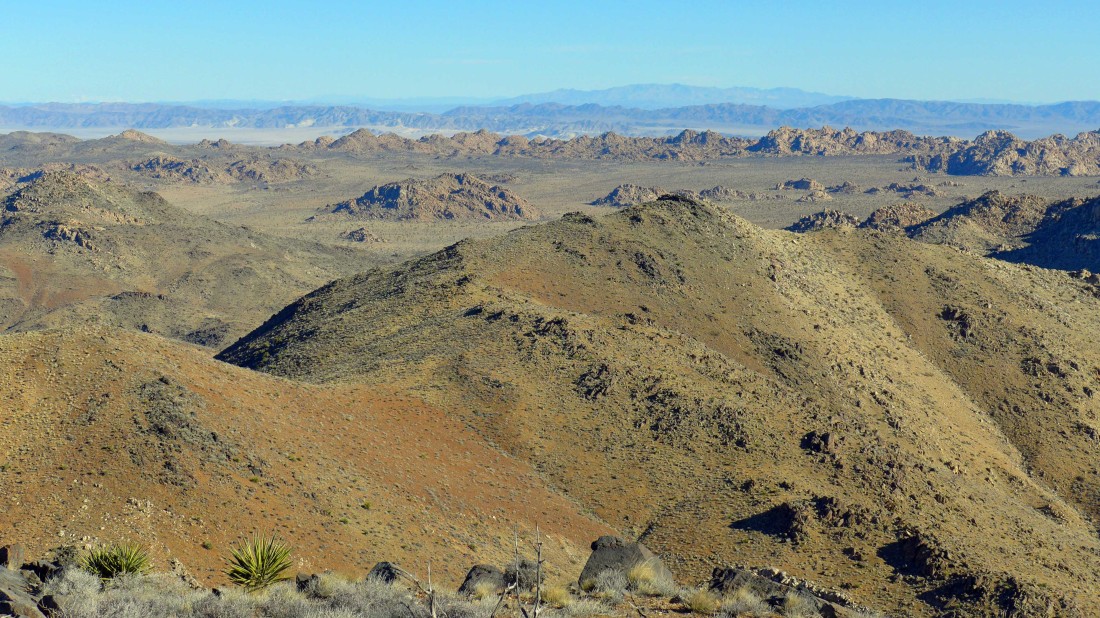
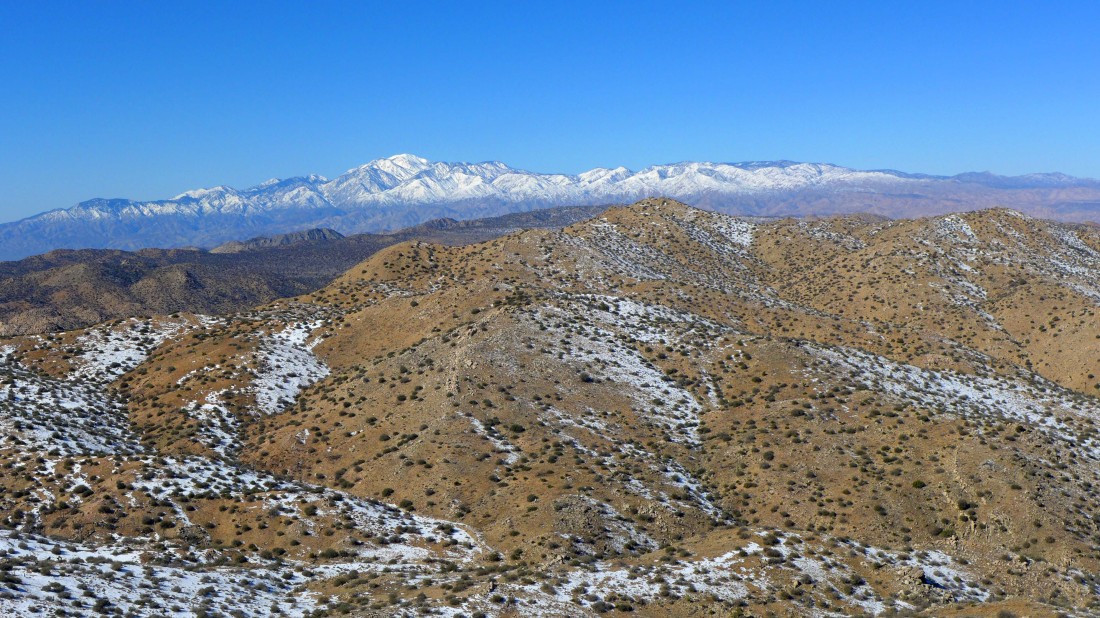
The San Jacinto Mountains from Point 5787.
|
Looking west from Point 5787 at the San Bernardino Mountains... home of the Gorgonio Wilderness and 11,499 foot San Gorgonio Mountain.
|
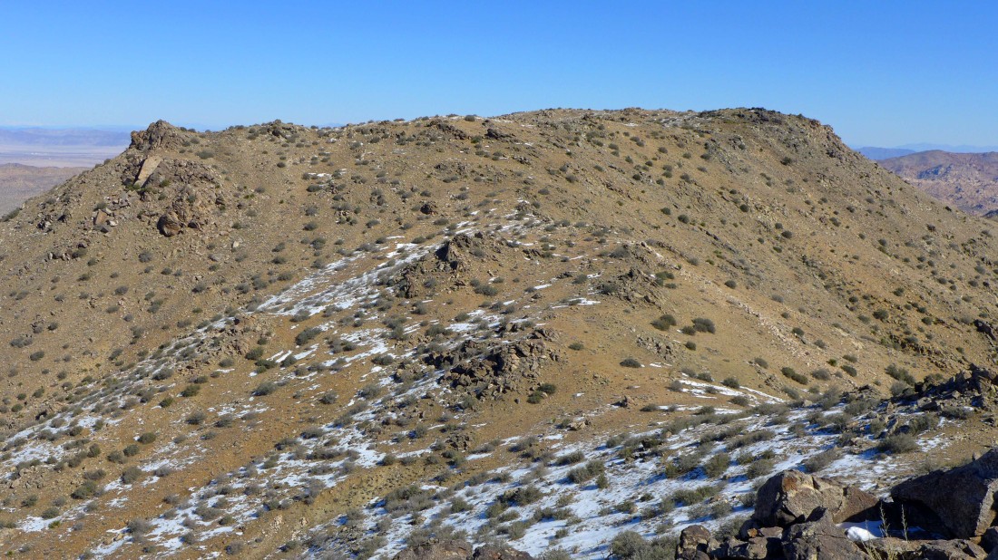
Looking back at the summit area of Quail Mountain from Point 5787.
|
Time to head down... looking across Lost Horse Valley to Ryan Mountain on the right... with Queen Mountain on the far left.
|
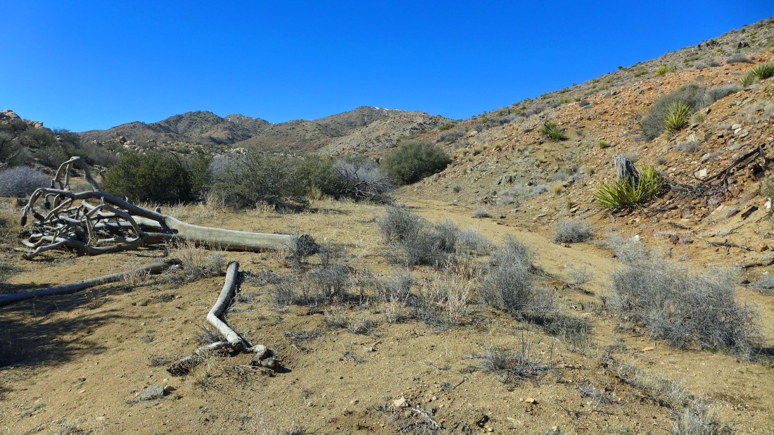
On the way down I decided to follow a gully instead of dealing with the several ups and downs that I used on the way up to the summit.
|
Heading down... saving some elevation gain... however, the terrain is not a simple walk.
|
I'm out of the gully and into a wash... still losing elevation... looking back at Quail Mountain.
|
Continuing down... looking back at the summit.
|
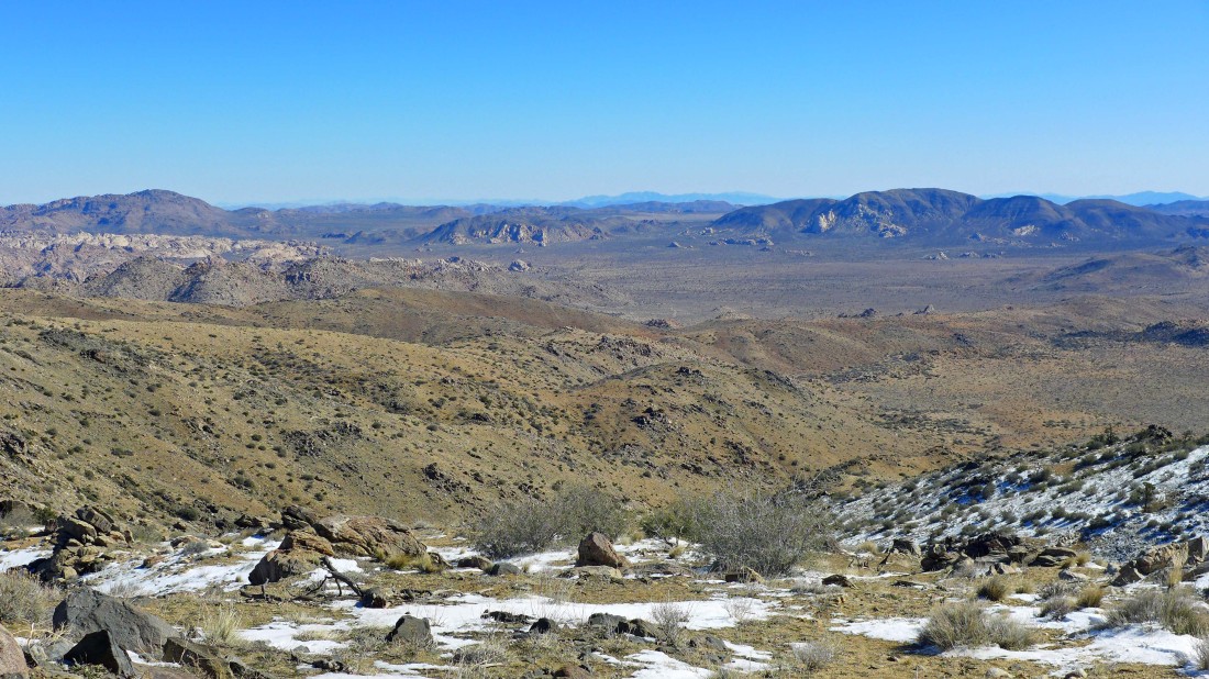
Still some work to do to get back down to the desert floor... Ryan Mountain in the distance.
|
Finally back on the desert floor... ~2.5 miles from my car.
|
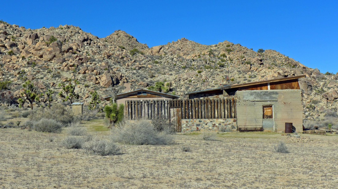
I had noticed the Johnny Lang Mine from a distance in the morning and decided that I would visit it if time and energy permitted at the end of the day.
|

The Johnny Lang Mine... it is fenced off from the public.
|
Looking back at the Johnny Lang Mine as I head for the car... with Quail Mountain on the horizon.
|
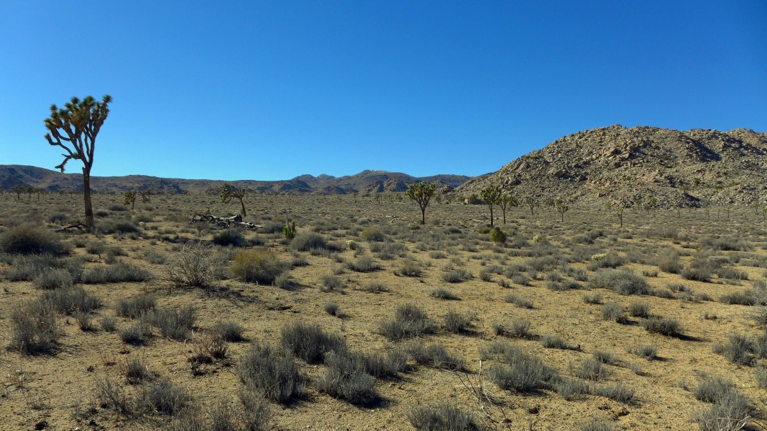
Heading in the direction of Ryan Mountain where I will find my car... 11.6 miles roundtrip, gaining 2246 feet of elevation.
|
