Tusk O'Granite - 2.14.2017
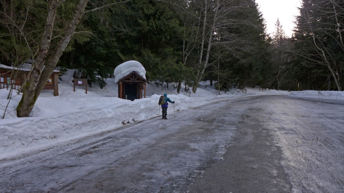
The parking lot for the Pratt Lake Trailhead was a sheet of ice.
|
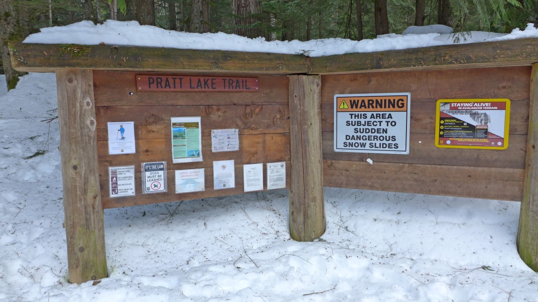
The Pratt Lake Trailhead kiosk... use Exit 47 off of I-90... and park at ~2000 feet... our total trip will be 10.6 miles roundtrip, gaining 3823 feet of elevation.
|
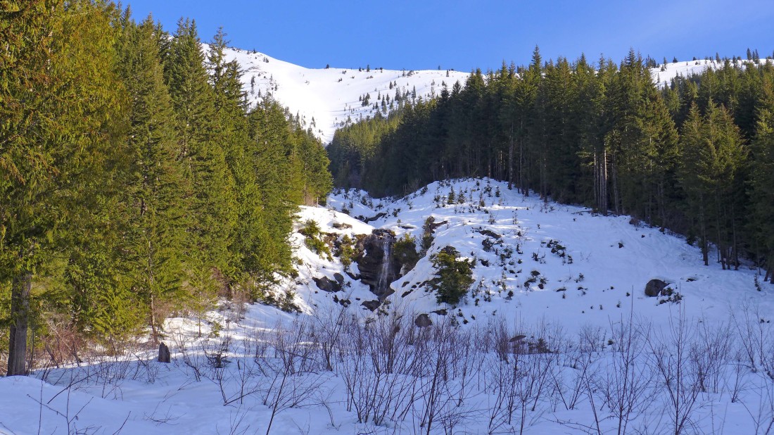
Hiking up the Pratt Lake Trail... looking at a pretty waterfall... looks like it will be a very nice day.
|
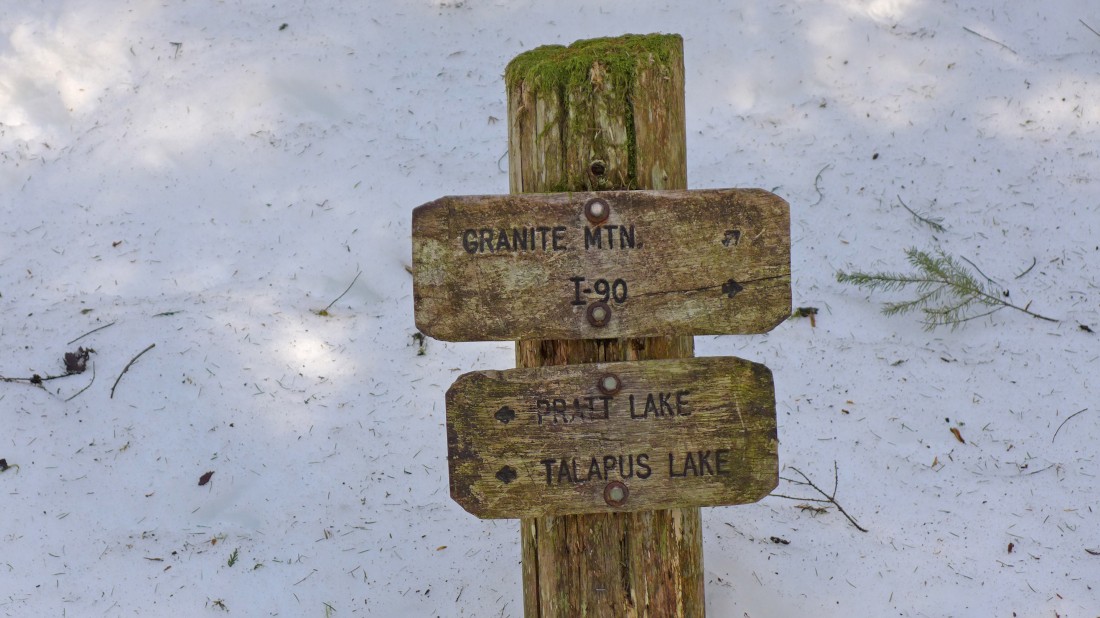
After hiking one mile we reached the junction for Granite Mountain... but we will continue on the Pratt Lake Trail.
|
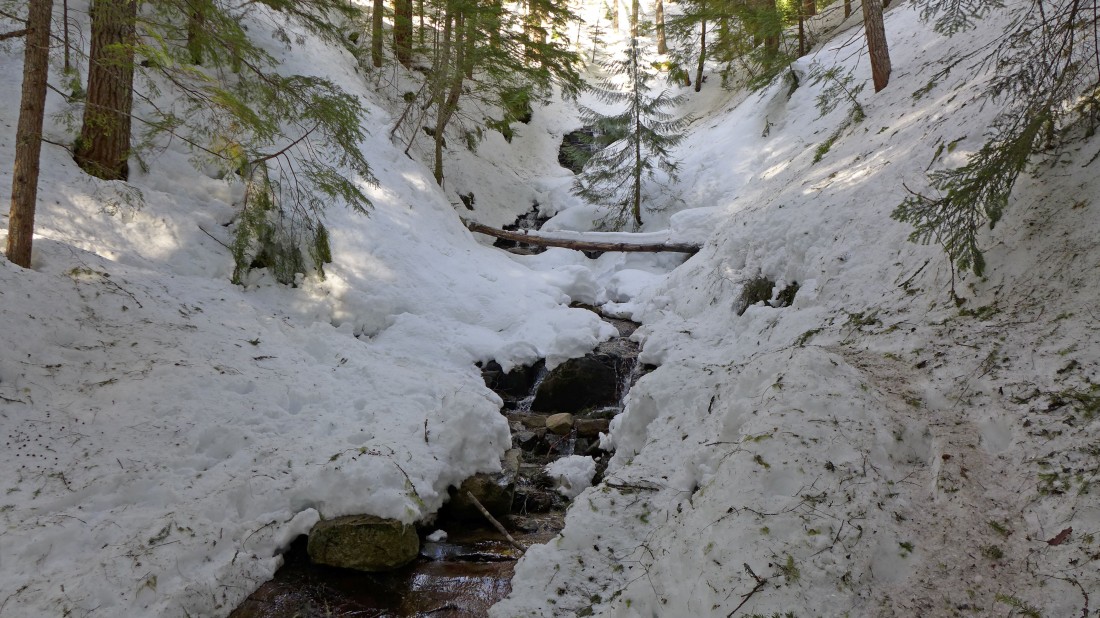
There is at least a dozen stream crossings on the Pratt Lake Trail.
|
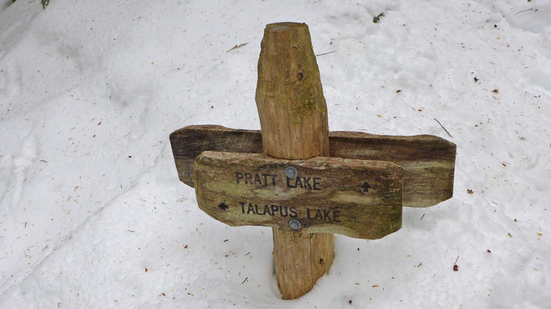
After hiking a total of 3 miles we have reached the junction with the Talapus/Olallie Trail... we will continue a half-mile or so on the Pratt Lake Trail.
|
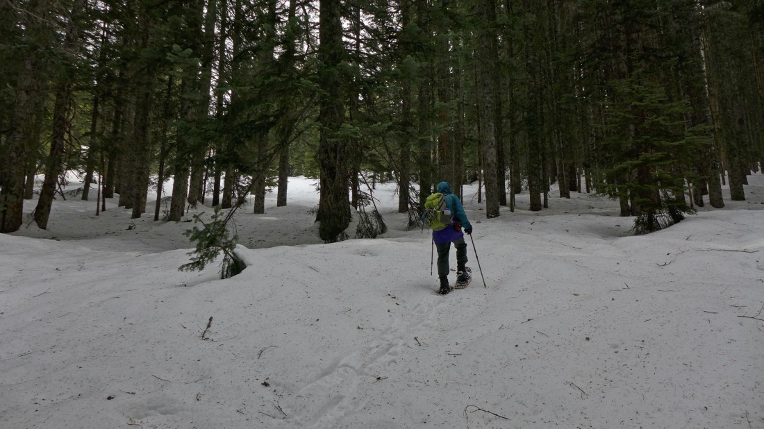
Leaving the Pratt Lake Trail and heading for the NW ridge or Tusk O'Granite.
|
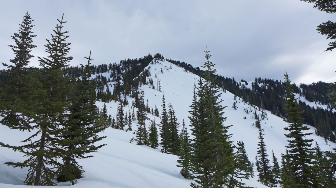
Nearing the NW ridge (~4500') of Tusk O'Granite... still a thousand feet of elevation gain to go to reach the summit... what happened to the nice weather?
|
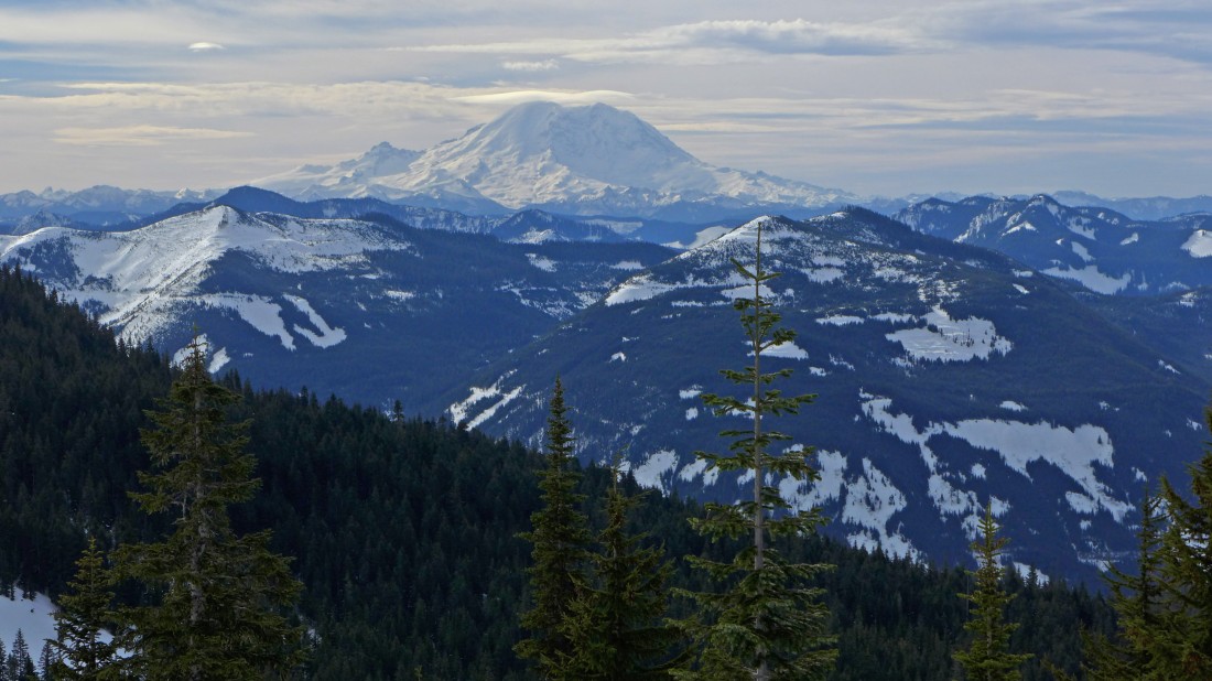
Looking south to Mt. Rainier as we continue up the NW ridge of Tusk O'Granite... looks like a lenticular cloud is forming over Rainier.
|
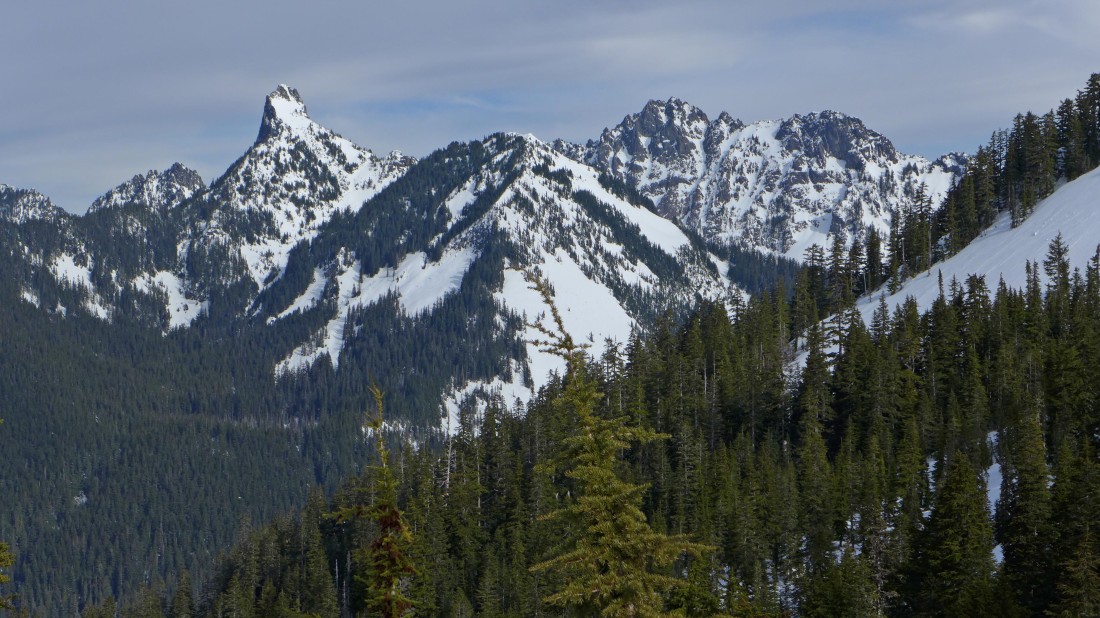
Kaleetan Peak and Chair Peak from the NW ridge of Tusk O'Granite.
|
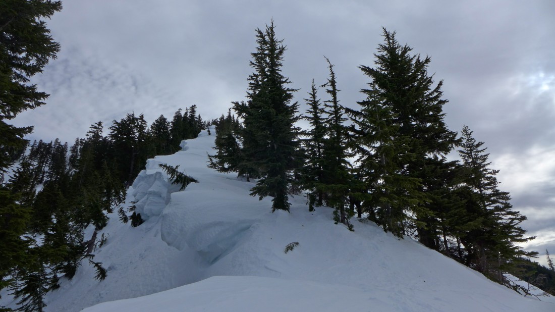
The corniced NW ridge of Tusk O'Granite.
|
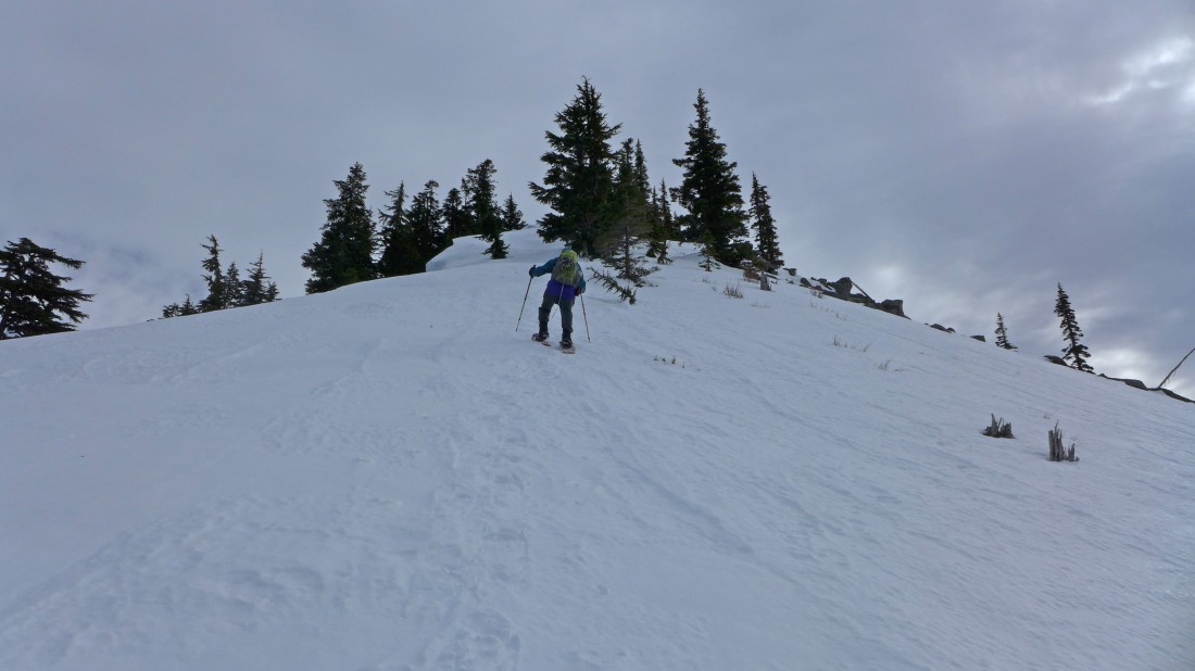
rodman leads the way up a very windy NW ridge of Tusk O'Granite.
|
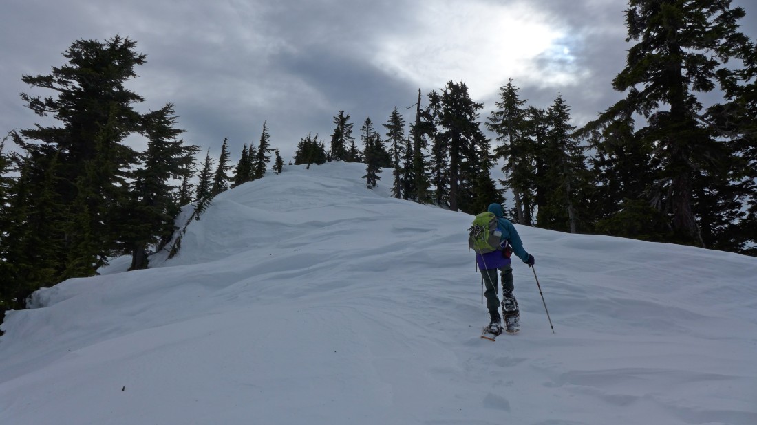
Nearing the summit of Tusk O'Granite... the wind has been sculpting the snow.
|
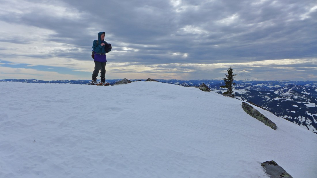
rodman on the summit (5566') area of Tusk O'Granite... Mt. Rainier is on the horizon... just to the right of the small tree.
|
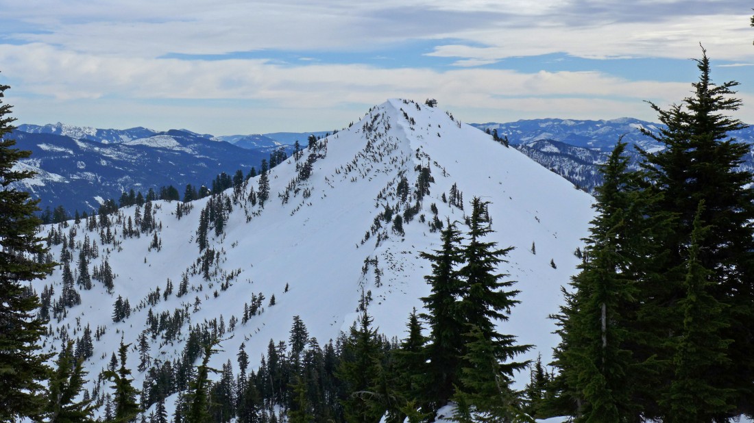
We walked over to the high point of the summit area and got this look at the lookout on the summit of Granite Mountain.
|
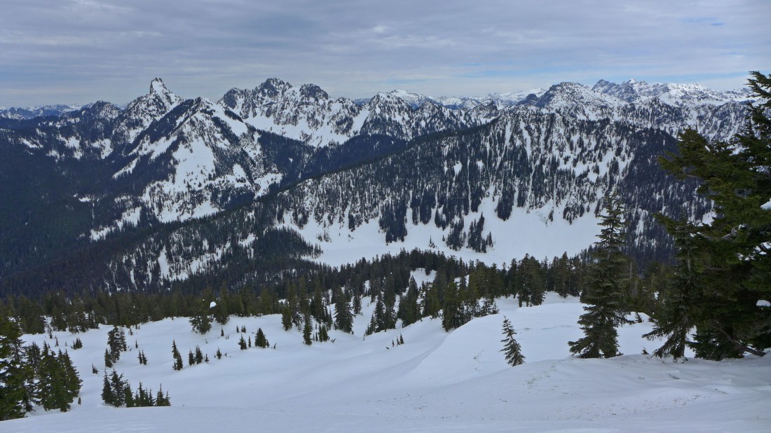
Looking NE into the Alpine Lakes Wilderness.
|
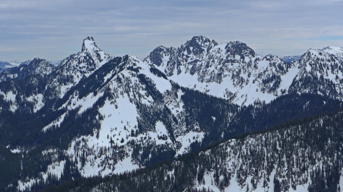
A close-up of Kaleetan Peak (left), Chair Peak (center) and Bryant Peak (far right) from the summit of Tusk O'Granite.
|
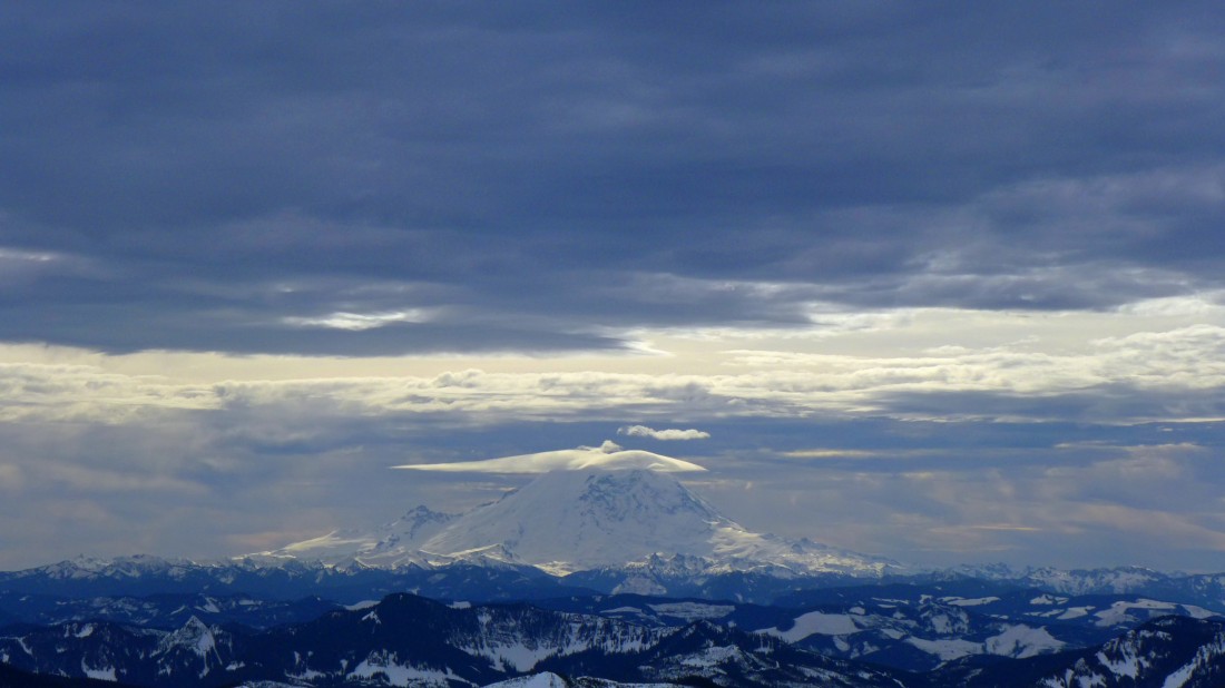
Mt. Rainier to the south.
|
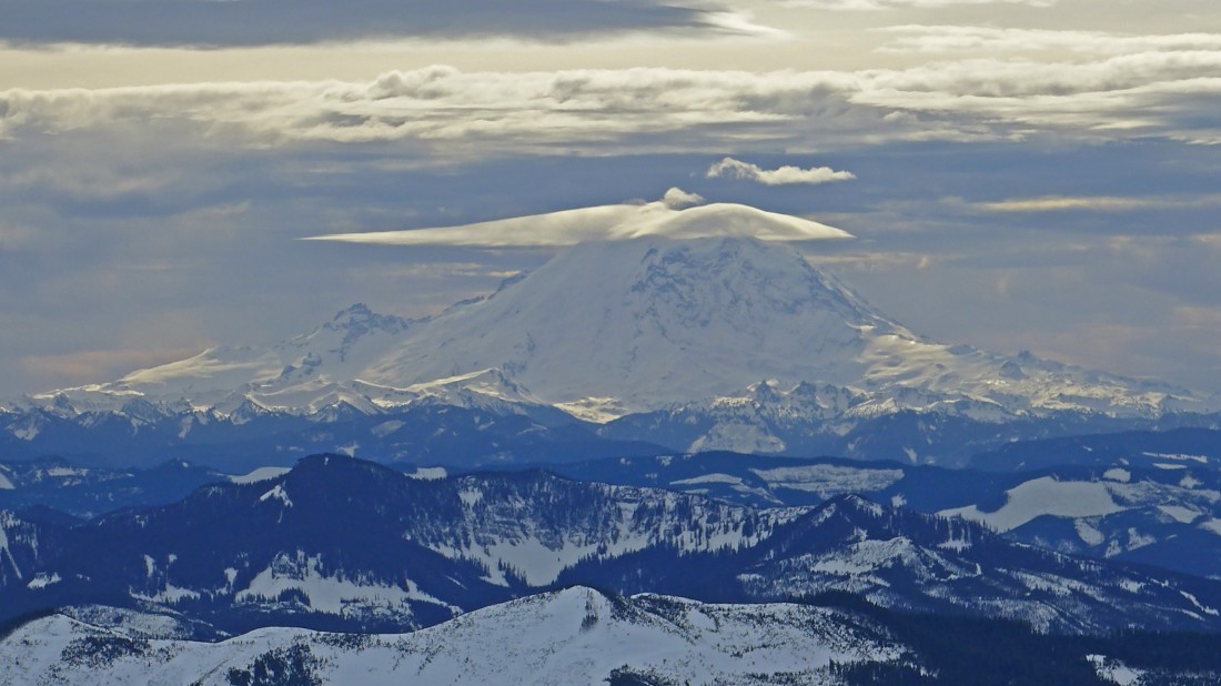
A closer look at Mt. Rainier... and the lenticular cloud above it... signaling that bad weather is coming.
|
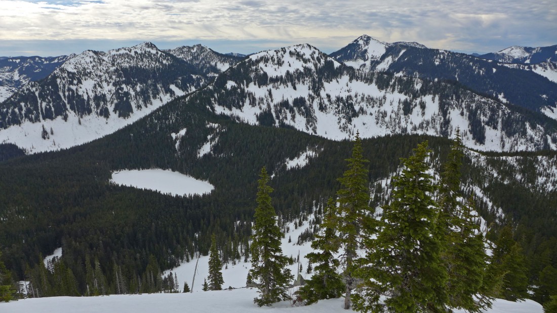
Heading back down the NW ridge of Tusk O'Granite... Olallie Lake on the left... Pratt Mountain in the center of the photo... with Bandera Mountain on the left... and Mt. Defiance on the right... we will trace our steps back to the car.
|
