Wasson Peak - 4.2.2017
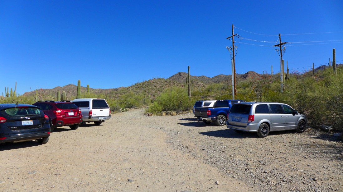
We used the King Canyon Trailhead to start our hike to Wasson Peak... the dirt parking area is located on the north side of N. Kinney Road... between the Arizona Sonora Desert Museum and the entrance to Saguaro National Park.
|
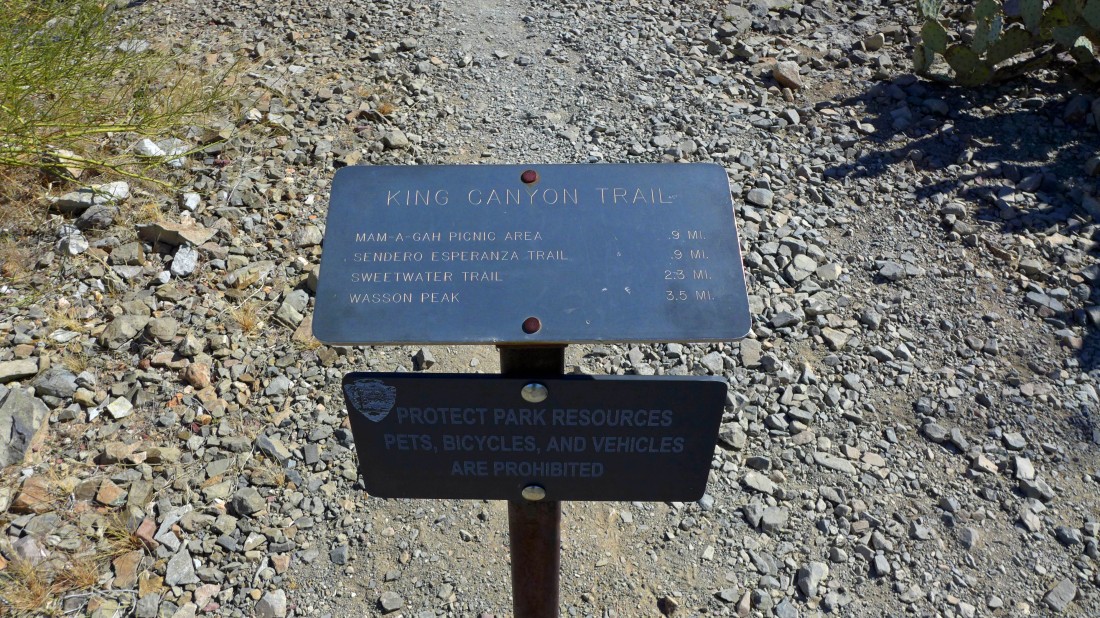
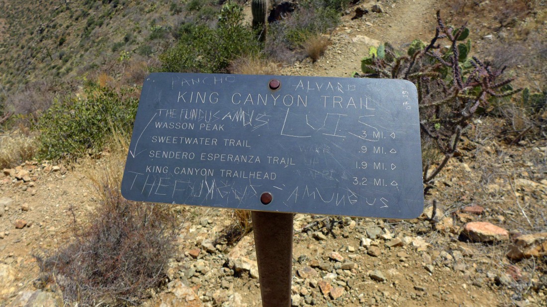
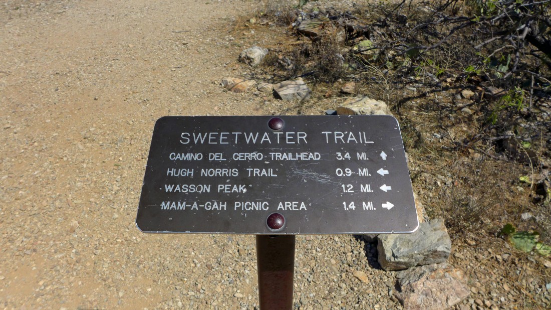
This sign is not visible from the parking area... you will have to walk up the abandoned King Canyon Road for a very short distance to find it.
|
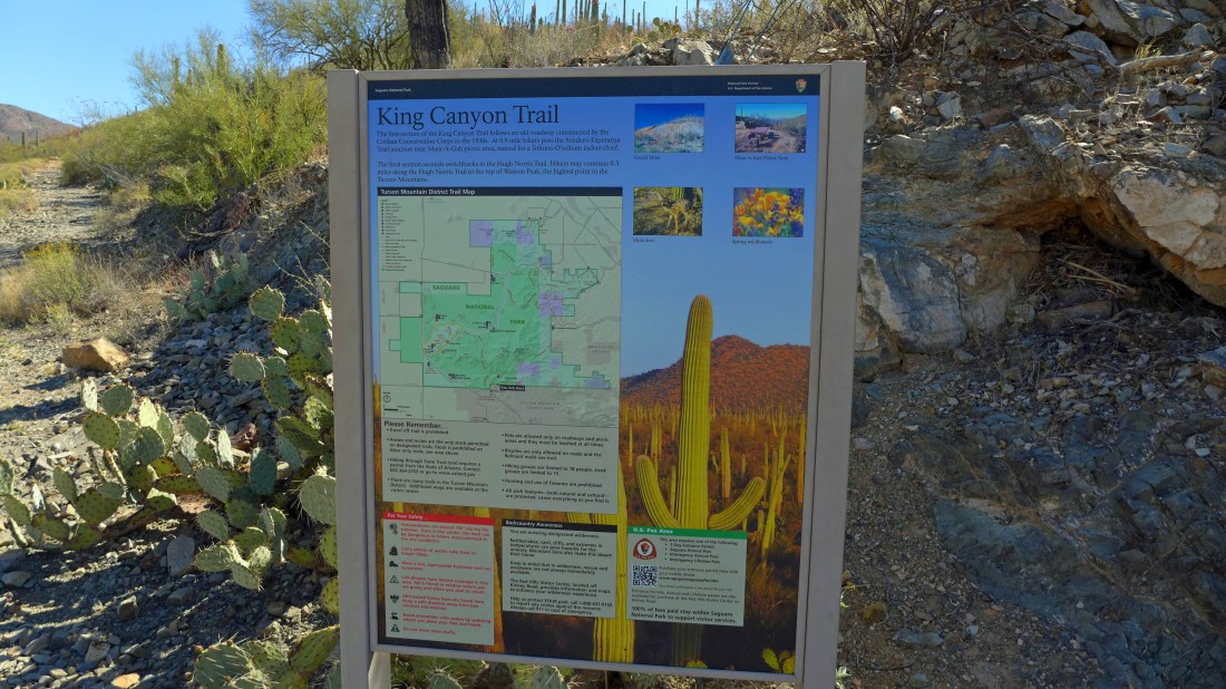
This sign is not visible from the parking area either... the abandoned King Canyon Road is on the left.
|
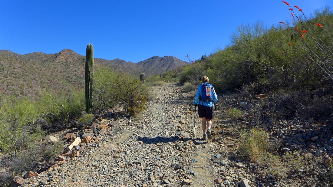
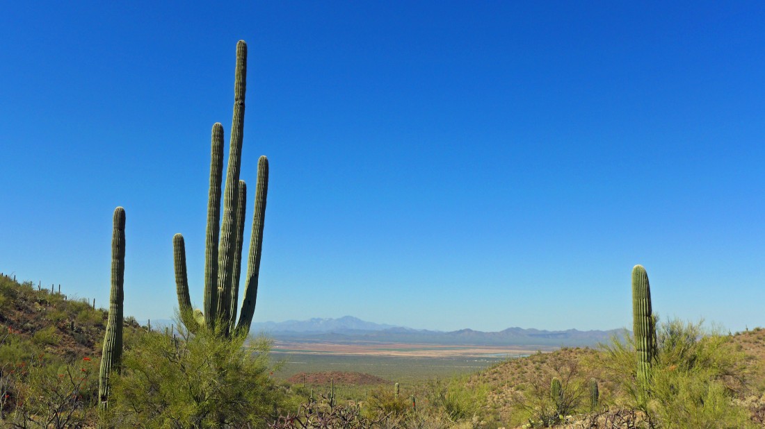
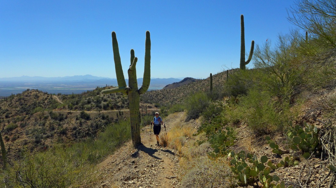
Denali Girl on the abandoned King Canyon Road... the main wash in King Canyon is out of view and below us on the left... Wasson Peak is behind the twin bumps in the center of the photo.
|
Continuing up the King Canyon Road and looking back across the valley at the Santa Rita Mountains.
|
We are still on the abandoned King Canyon Road... looking down on the wash in King Canyon... we will eventually get on the other side of the twin bumps above.
|

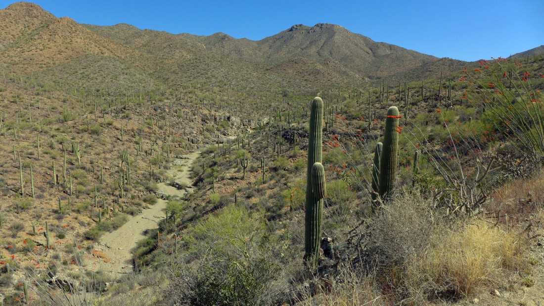
The abandoned King Canyon Road eventually meets the wash... and instead of continuing up the wash we are going to take the Sendero Esperanza Trail over to the Mam-a-gah picnic area.
|
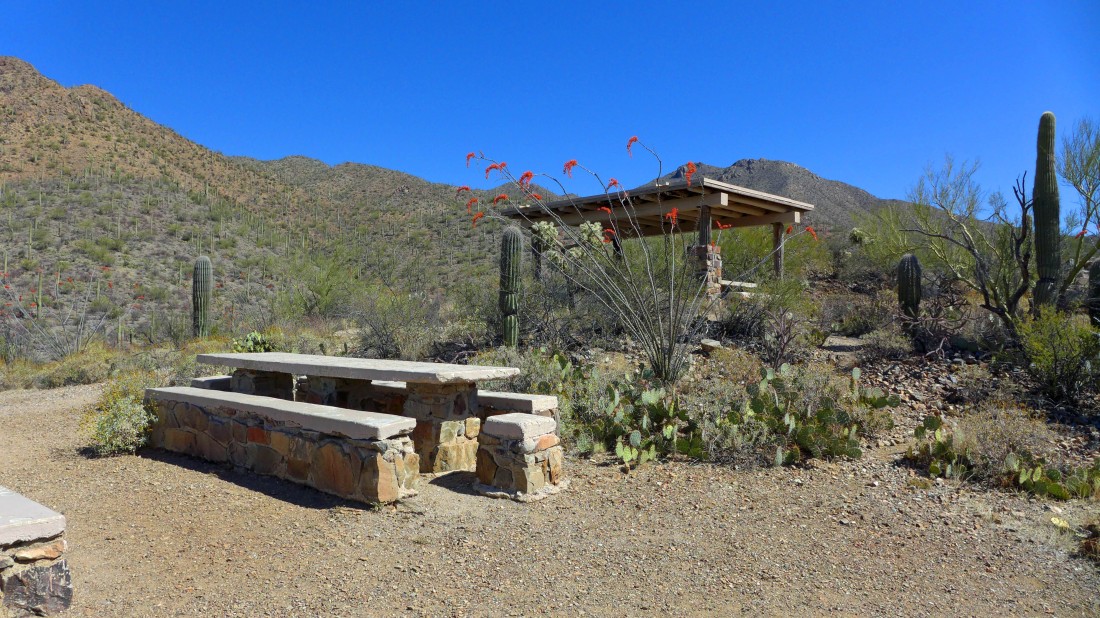
Several picnic tables at the Mam-a-gah picnic area... with a couple of them shaded.
|
We will continue on the Sendero Esperanza Trail and eventually connect with the Hugh Norris Trail.
|
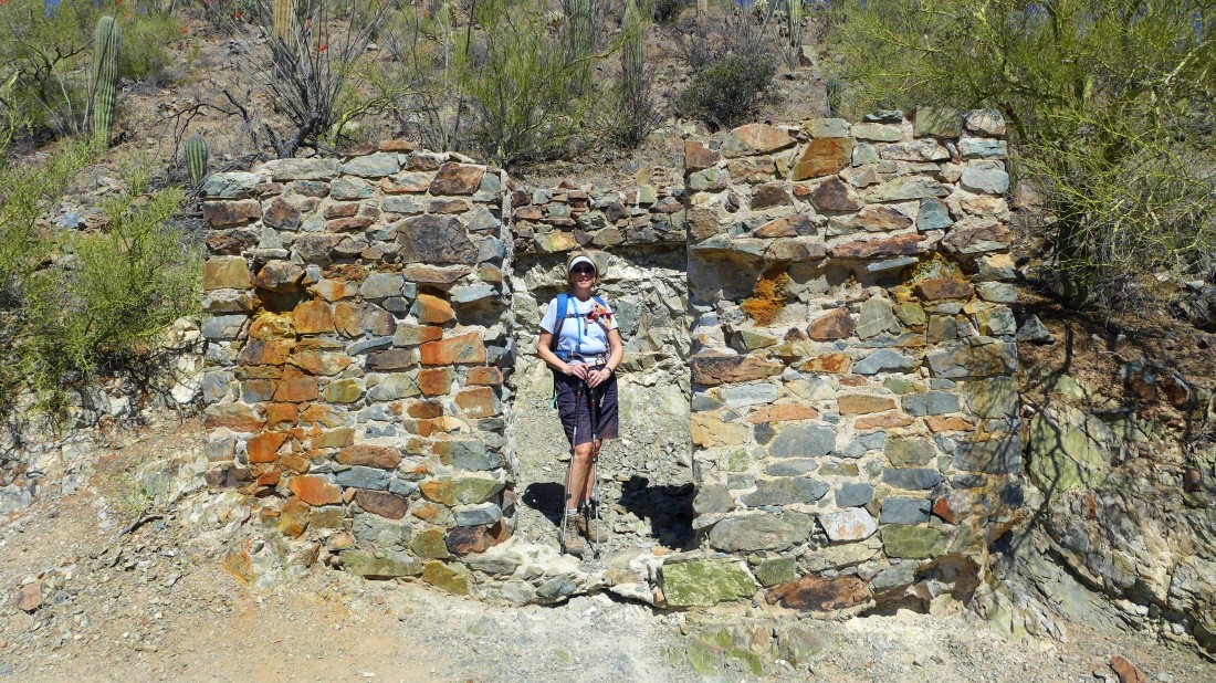
Still on the Sendero Esperanza Trail... Denali Girl has found the remains of an interesting structure.
|
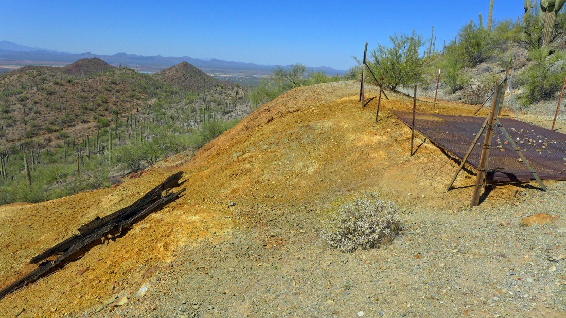
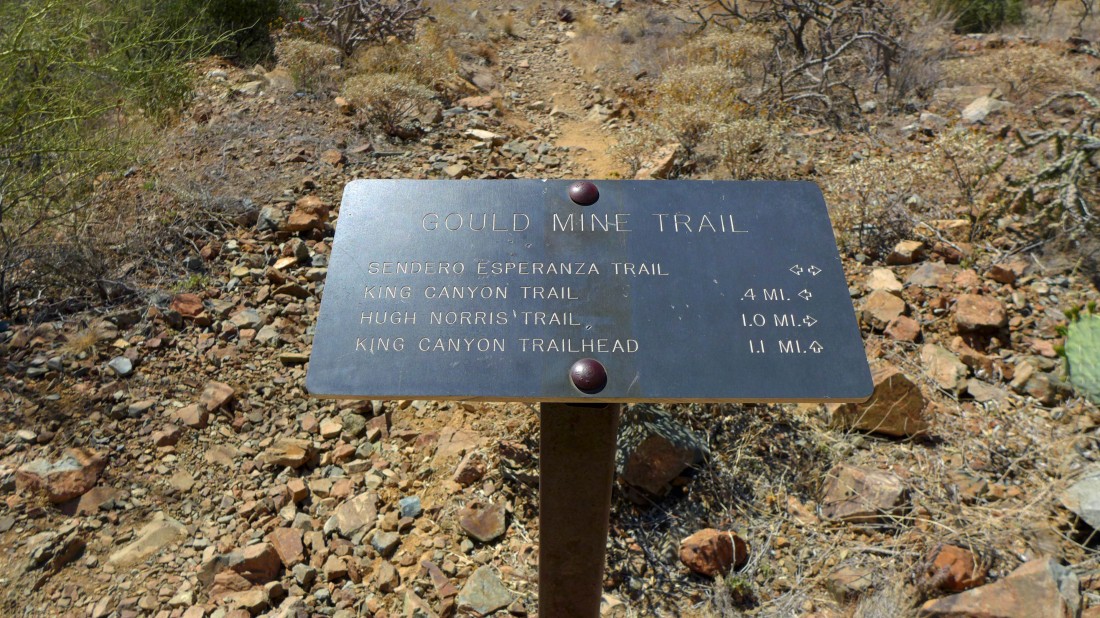
Passing by the Gould Mine on the Sendero Esperanza Trail.
|
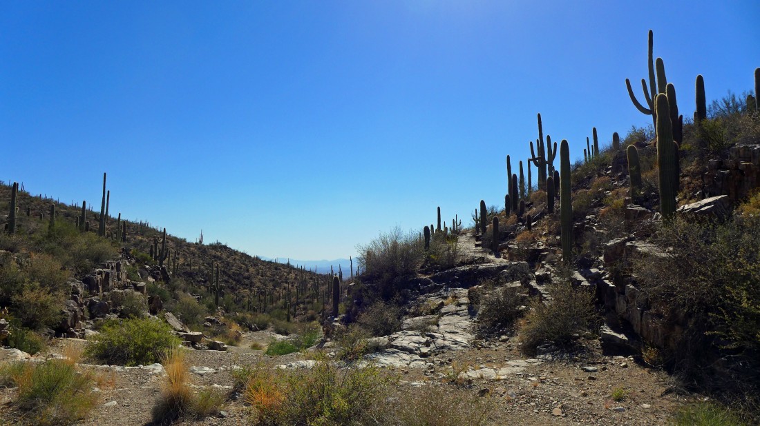
On the Sendero Esperanza Trail... heading for the ridge where we will find the Hugh Norris Trail.
|
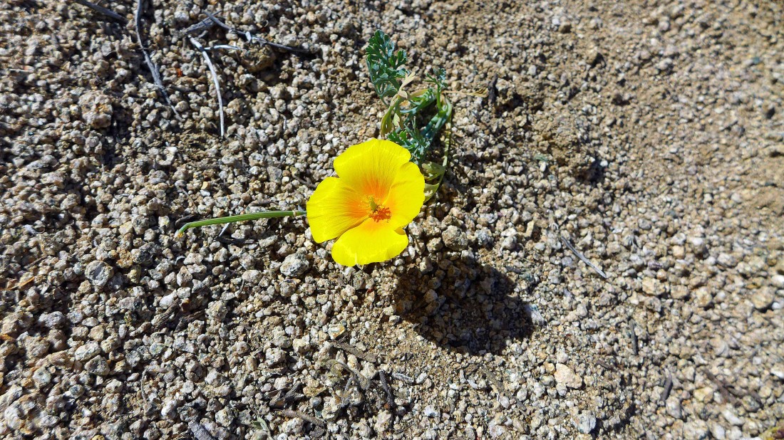
A desert primrose... maybe?
|
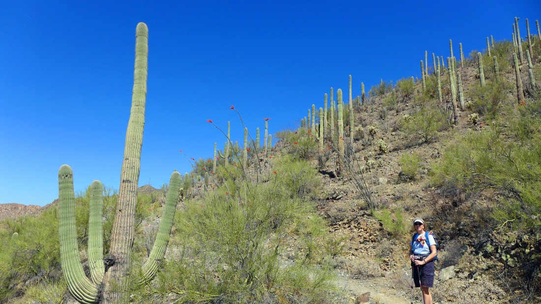
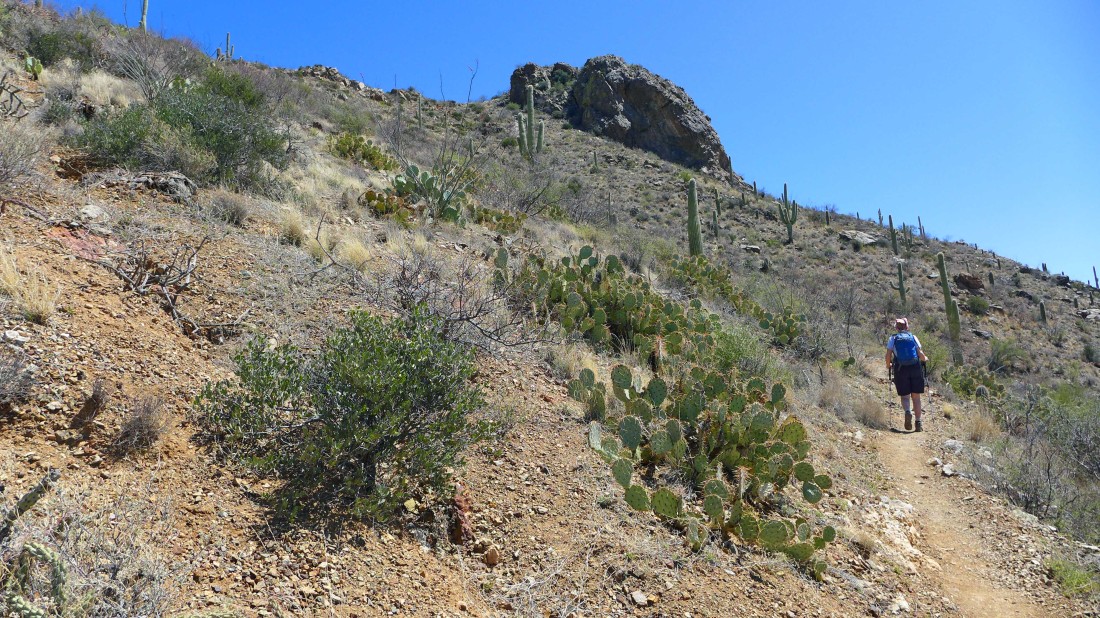
On the Hugh Norris Trail... which we will follow all the way to the summit of Wasson Peak.
|
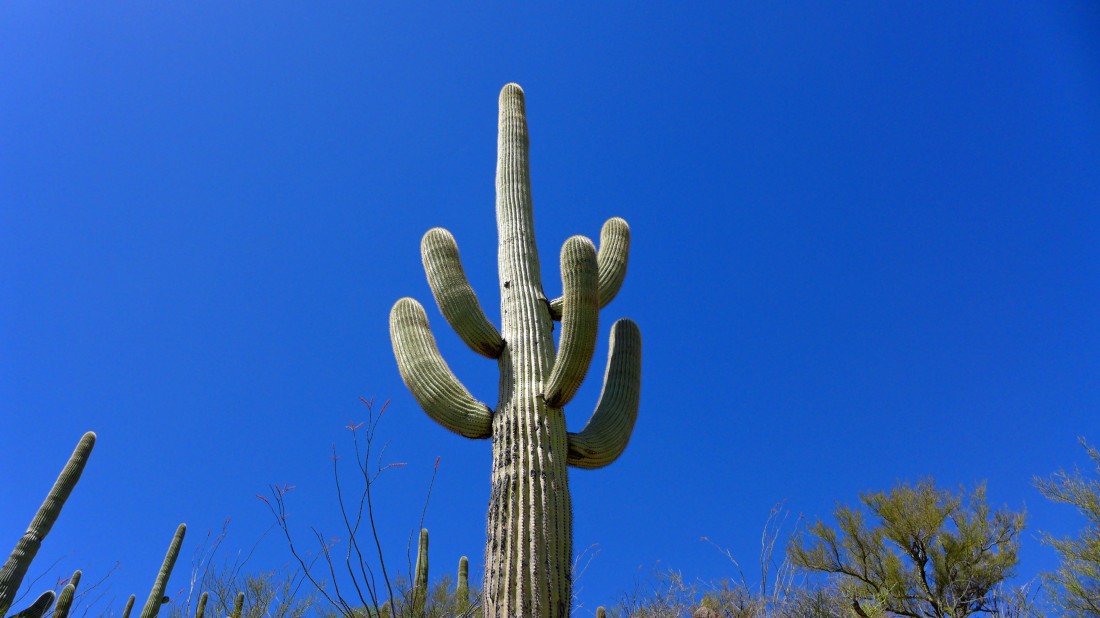
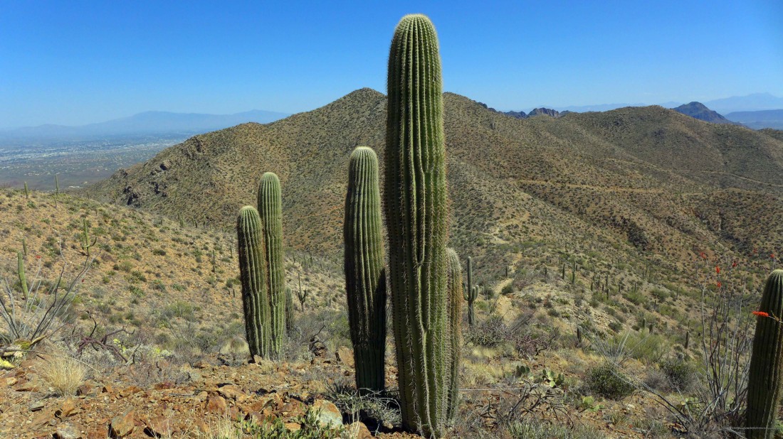
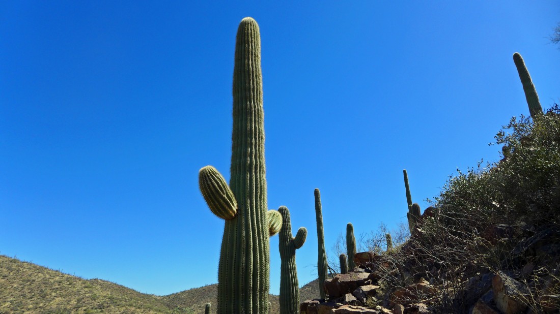
Saguaro Cactus... there were tons of them on this hike... so now we know how the national park got its name.
|
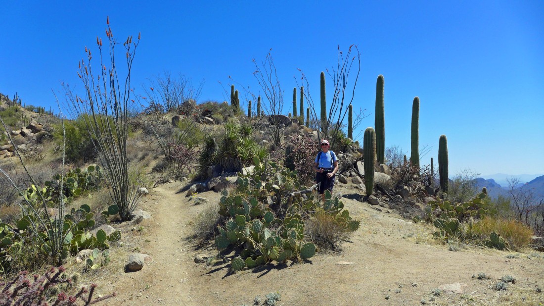
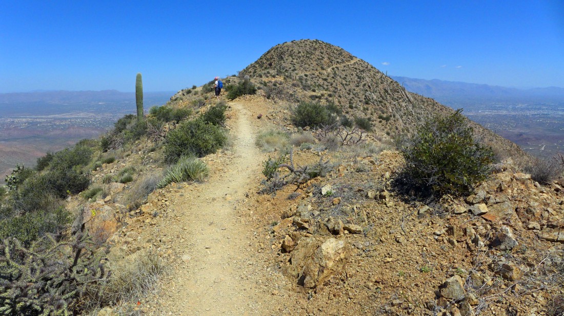
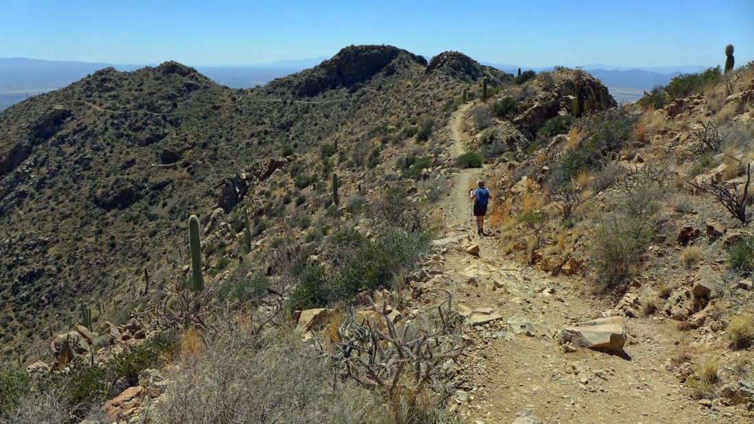
On the Hugh Norris Trail heading for those twin bumps that we could see from the parking area.
|
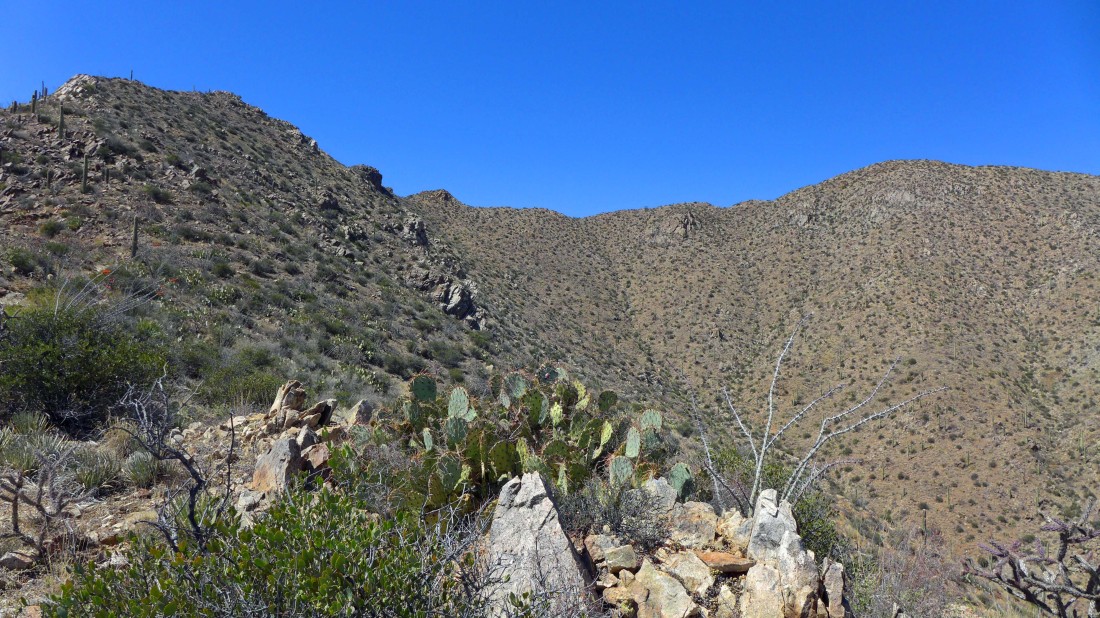
We have reached the twin bumps... now we can look across the town of Tucson to the Santa Catalina Mountains on the left and the Rincon Mountains on the right.
|
A short distance beyond the twin bumps the King Canyon Trail comes up and meets the Hugh Norris Trail... an easy .3 mile hike will put us on the summit of Wasson Peak.
|
Denali Girl heads for the Wasson Peak summit.
|
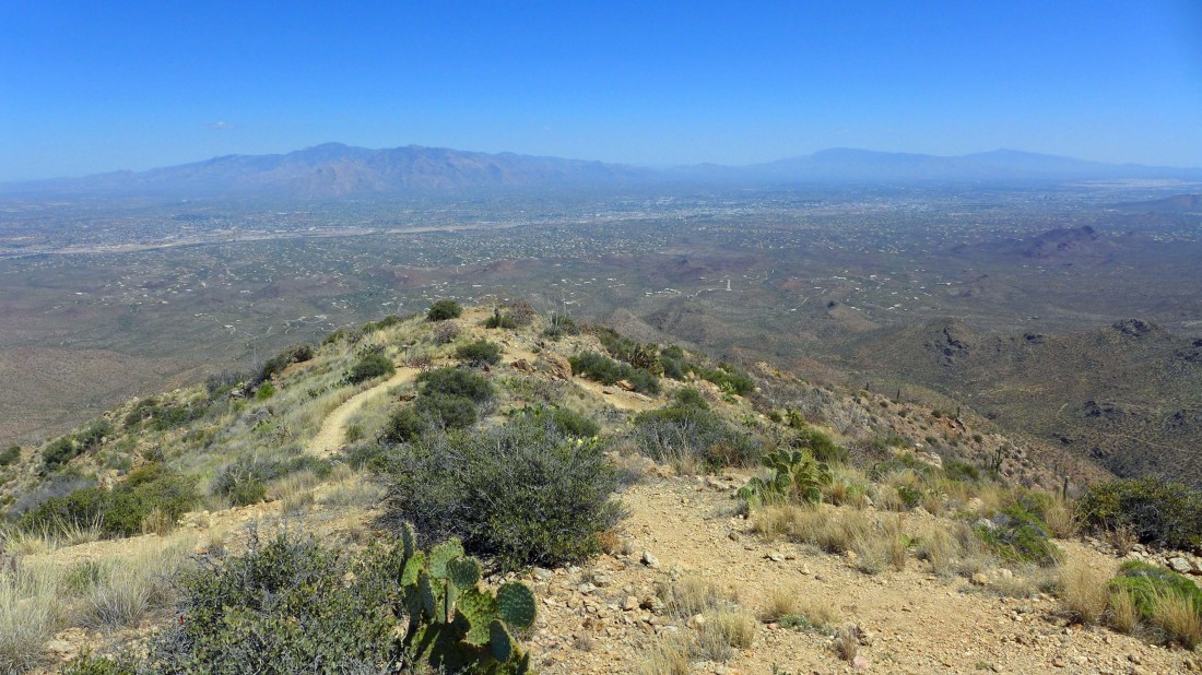
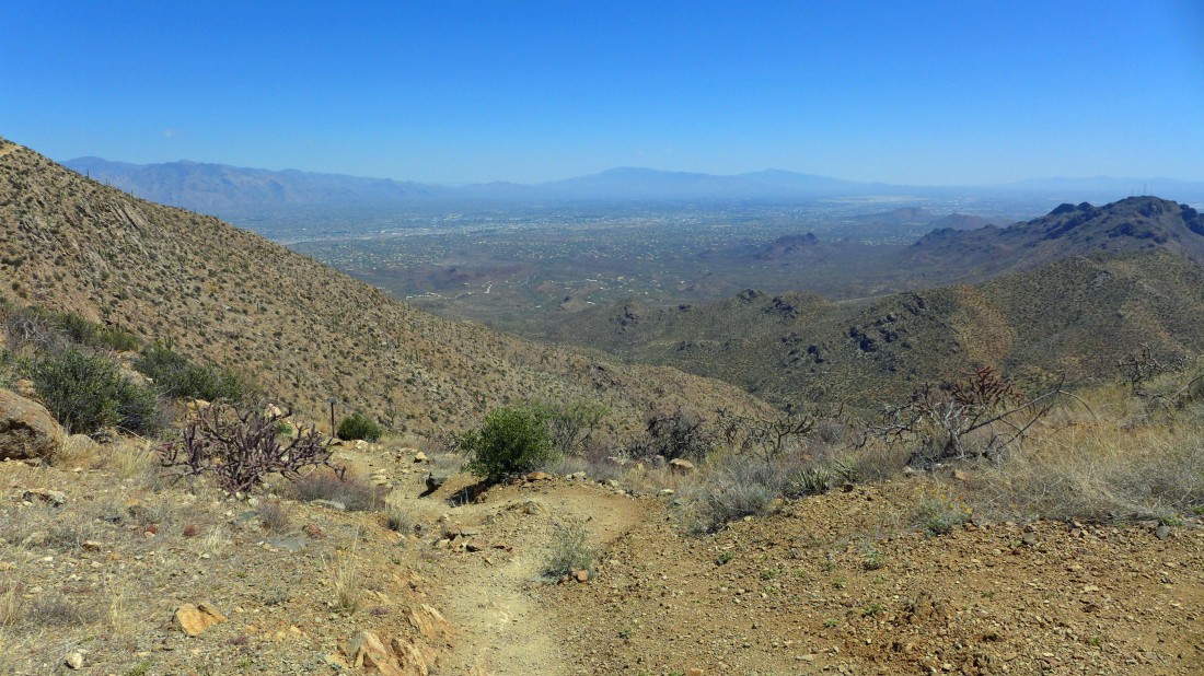
On the Wasson Peak summit (4687')... the highest point in the Tucson Mountains... looking across the city of Tucson to the Santa Catalina Mountains on the left and the Rincon Mountains on the right.
|
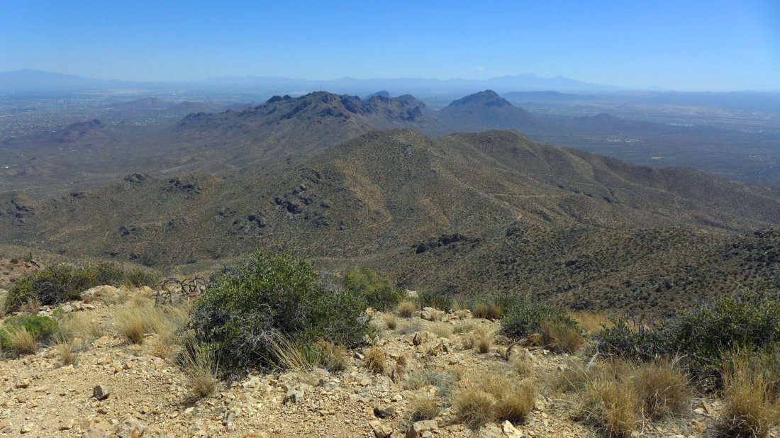
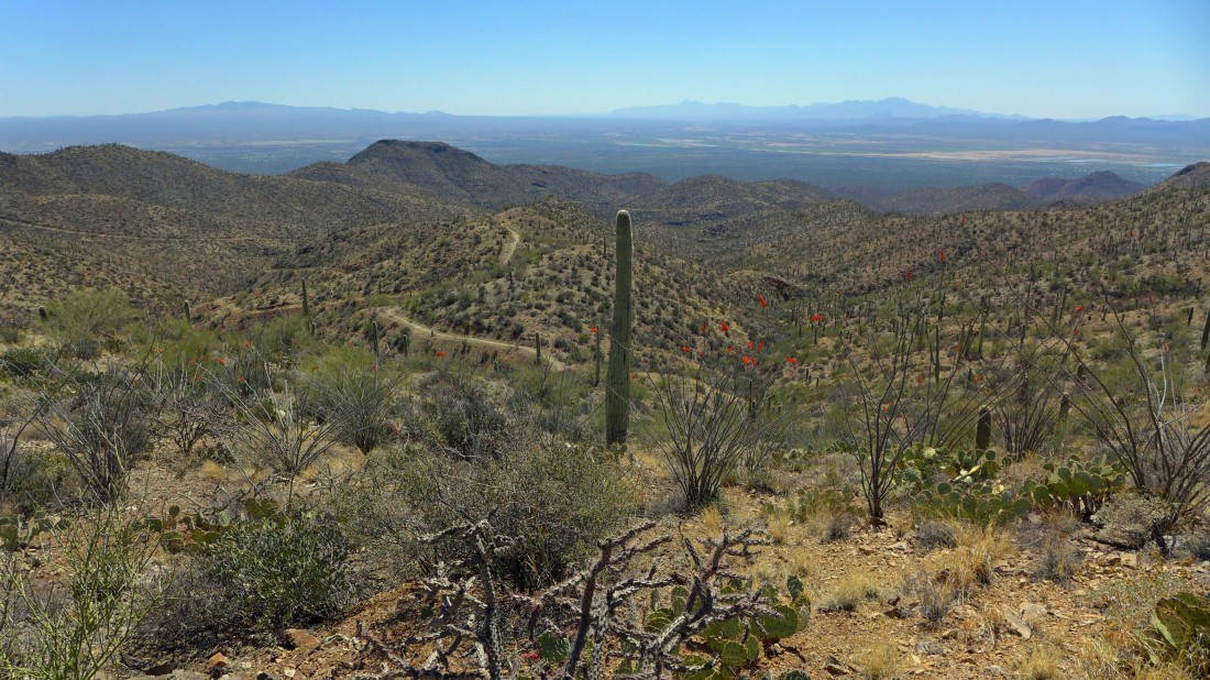
Looking down on King Canyon... and over to the southeastern section of the Tucson Mountains.
|
Leaving the Wasson Peak summit and tracing our steps back to where the King Canyon Trail and Hugh Norris Trail intersect.
|
We chose to take the King Canyon Trail back to the car... making for a nice loop trip... looking back at Wasson Peak on the right.
|
Continuing down the King Canyon Trail... with the southeastern section of the Tucson Mountains behind the Saguaro Cacti.
|
Continuing down the King Canyon Trail... looking south across the valley to the Santa Rita Mountains.
|
We will continue down the King Canyon Trail toward the Mam-a-gah picnic area.
|
Continuing down the King Canyon Trail.
|
Saguaro Cactus.
|
When we got back to where the abandoned King Canyon Road met the wash, we decided to take the wash back to the car.
|
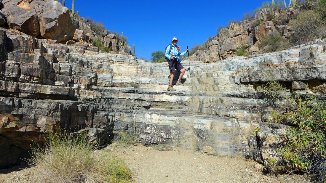
There were several nice waterfalls in the wash that led us back to the car... this was an 8 mile hike... gaining 2011 feet of elevation.
|
