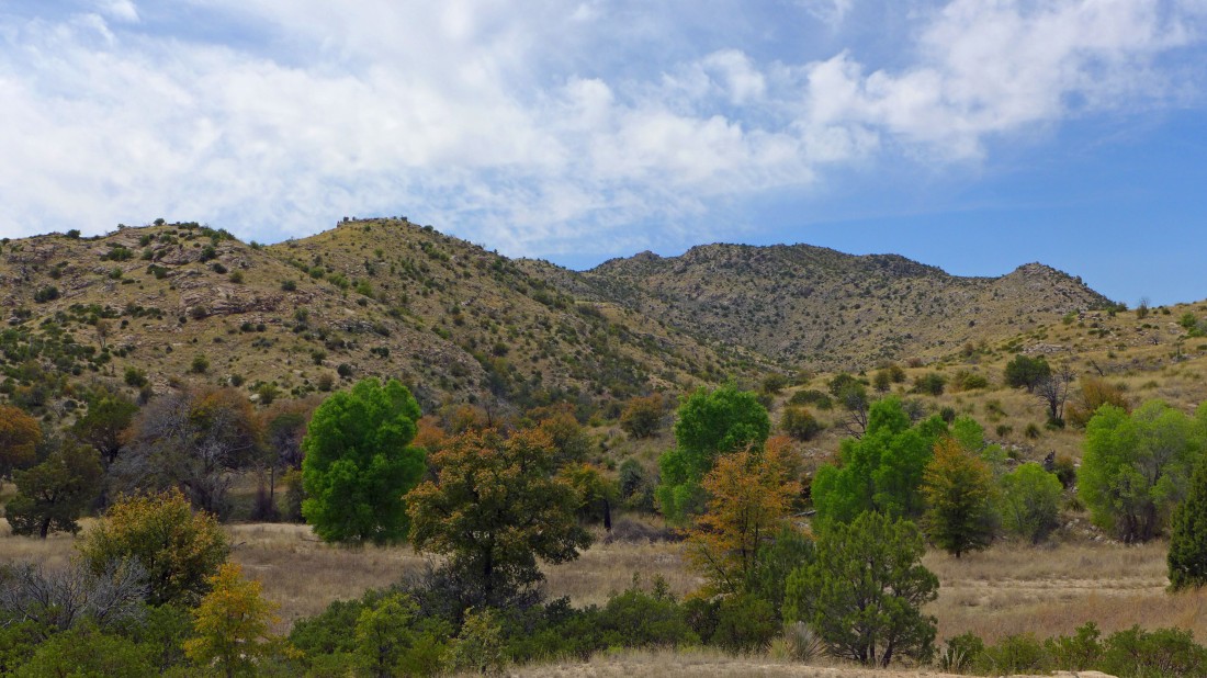
Gibbon Mountain and Point 5158 - 4.10.2017
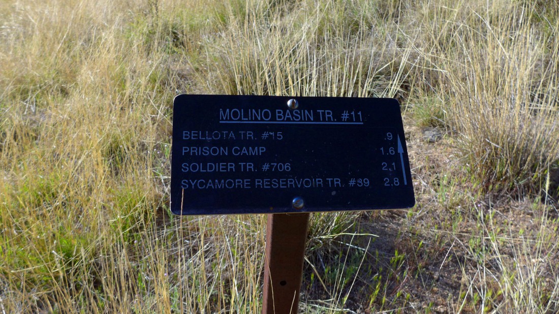
I started this hike/scramble using Molino Basin Trail #11... located at the end of the road in the Molino Basin Campground.
|
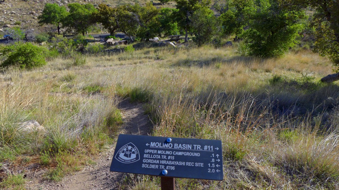
After hiking less than 50 yards I found this trail junction... I will head for the Gordon Hirabayashi Recreation Area.
|
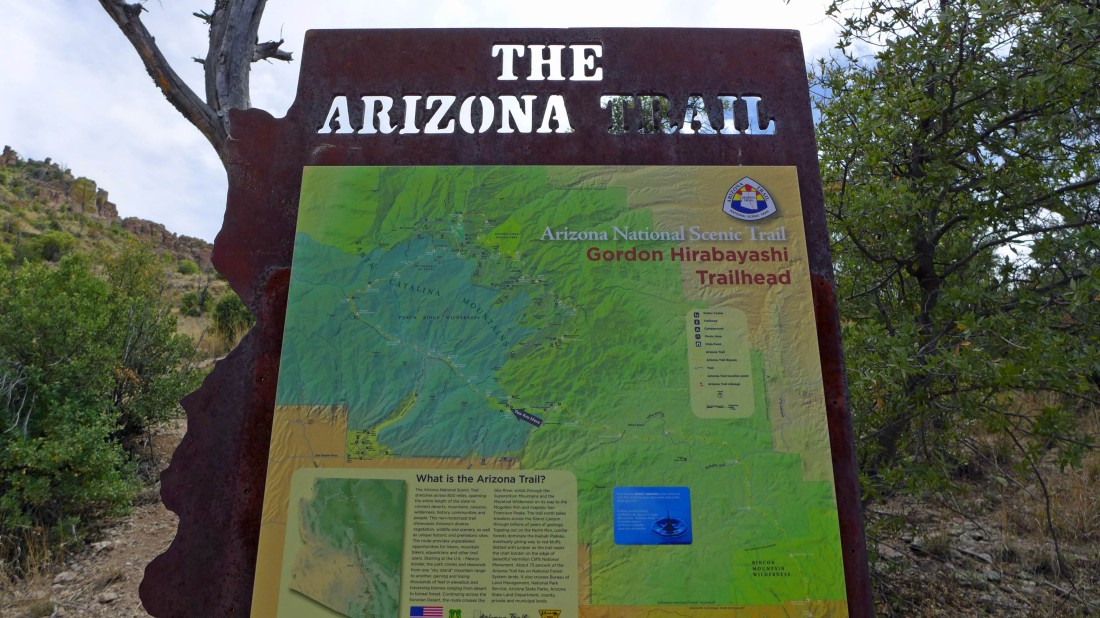
After hiking 1.6 miles I reached the Gordon Hirabayashi Recreation Area... I will continue on the Molino Basin Trail #11... if I do this scramble again, I will start from here.
|
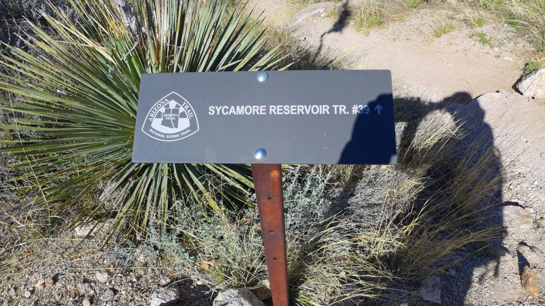
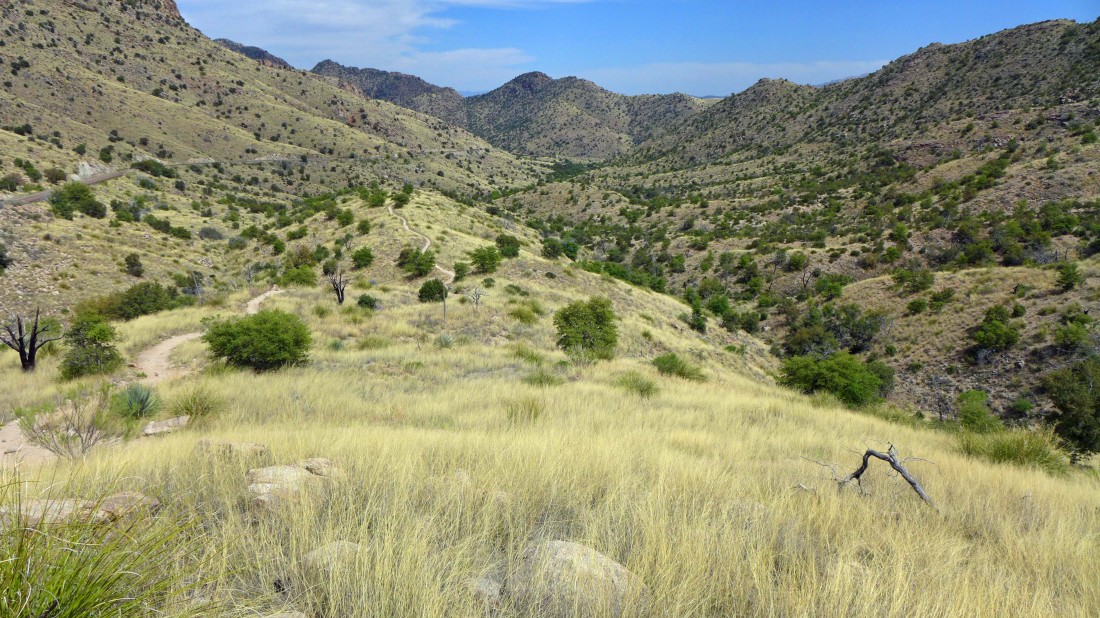
After hiking a total of 2.8 miles I have reached Shreve Saddle and the start of Sycamore Reservoir Trail #39. This is where I will leave the maintained trail and head cross-country to the south.
|
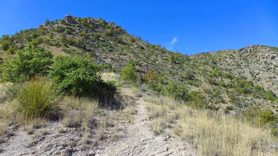
Leaving Shreve Saddle... heading south on this boot path which will disappear quickly.
|
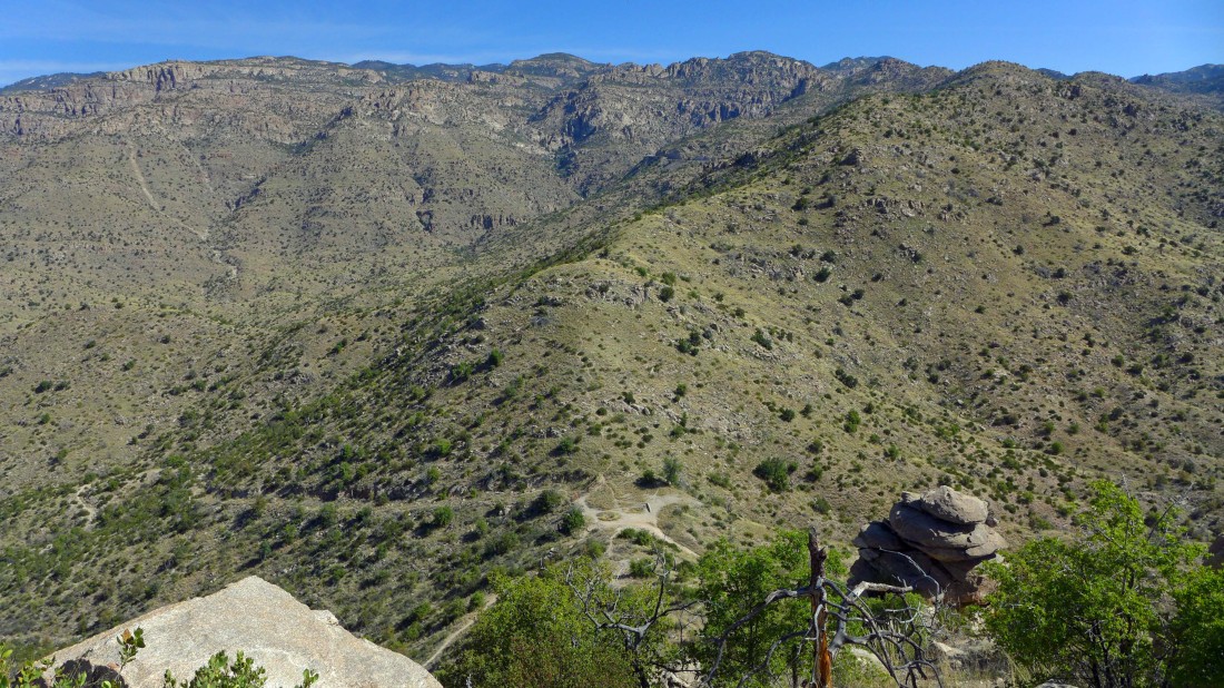
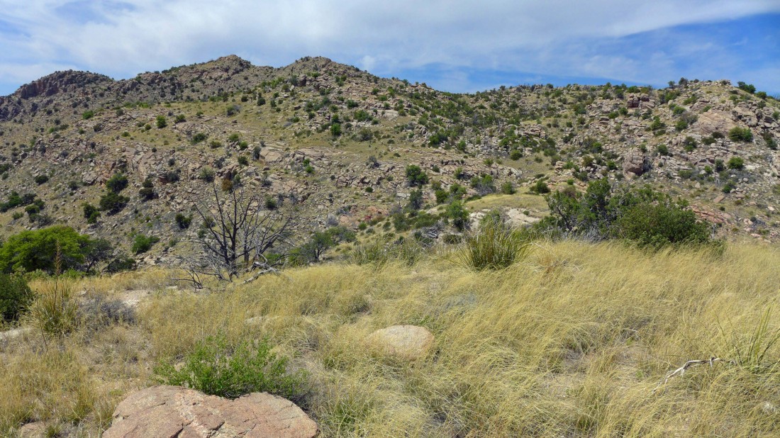
Gaining elevation on the ridge that I will follow to the Gibbon Mountain summit... here I'm looking down on Shreve Saddle... Incinerator Ridge is on the skyline.
|
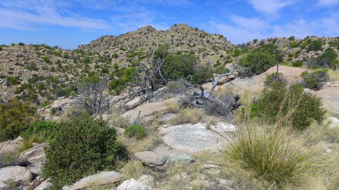
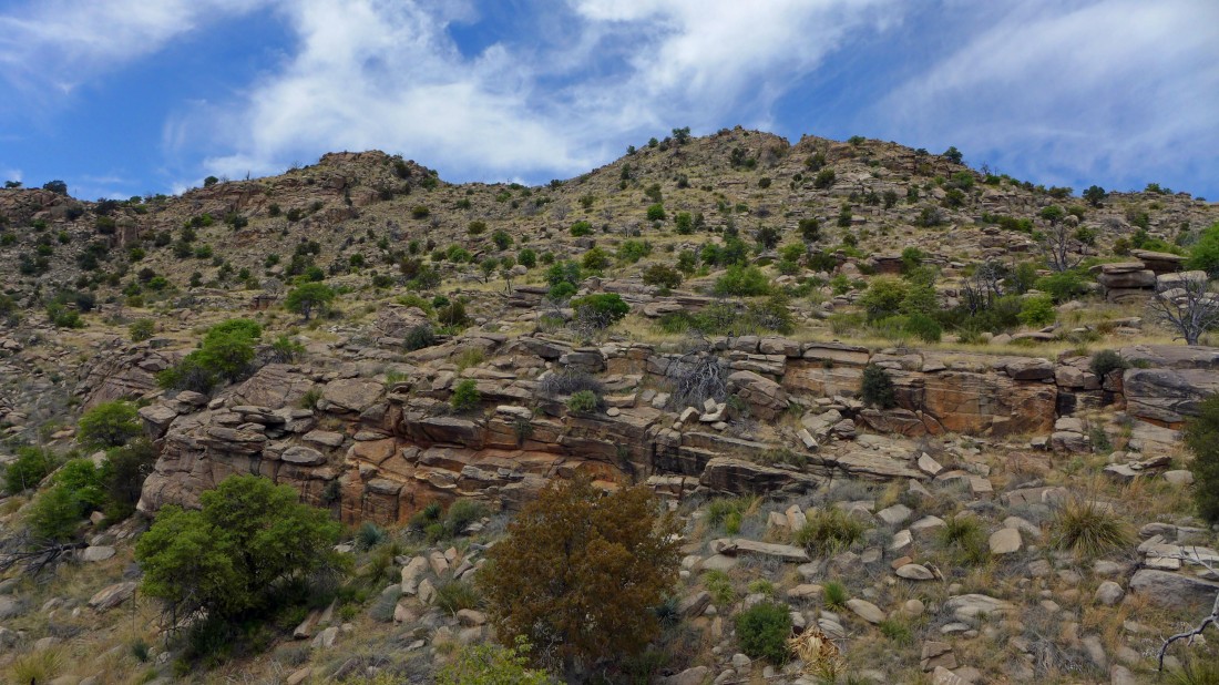
The summit of Gibbon Mountain is up there somewhere... I will just keep following the ridge up.
|
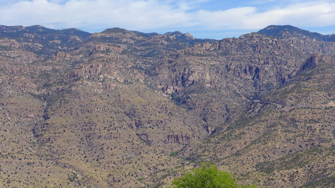
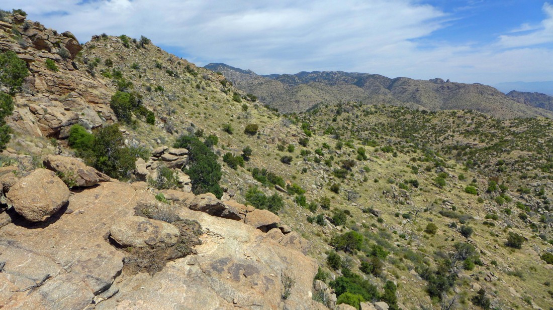
Continuing to gain elevation on the ridge leading to Gibbon Mountain... looking into the heart of the Pusch Ridge Wilderness.
|
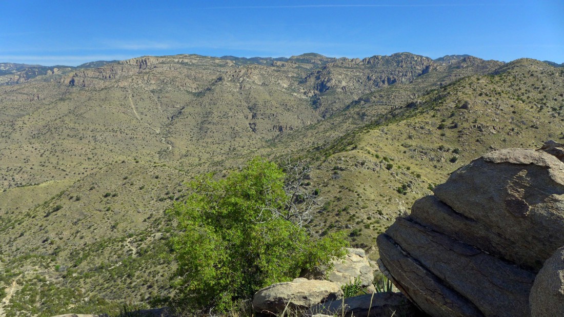
Gaining elevation and looking at Incinerator Ridge on the skyline.
|
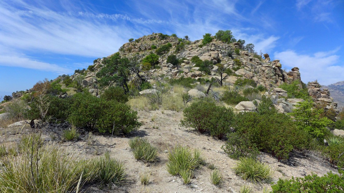
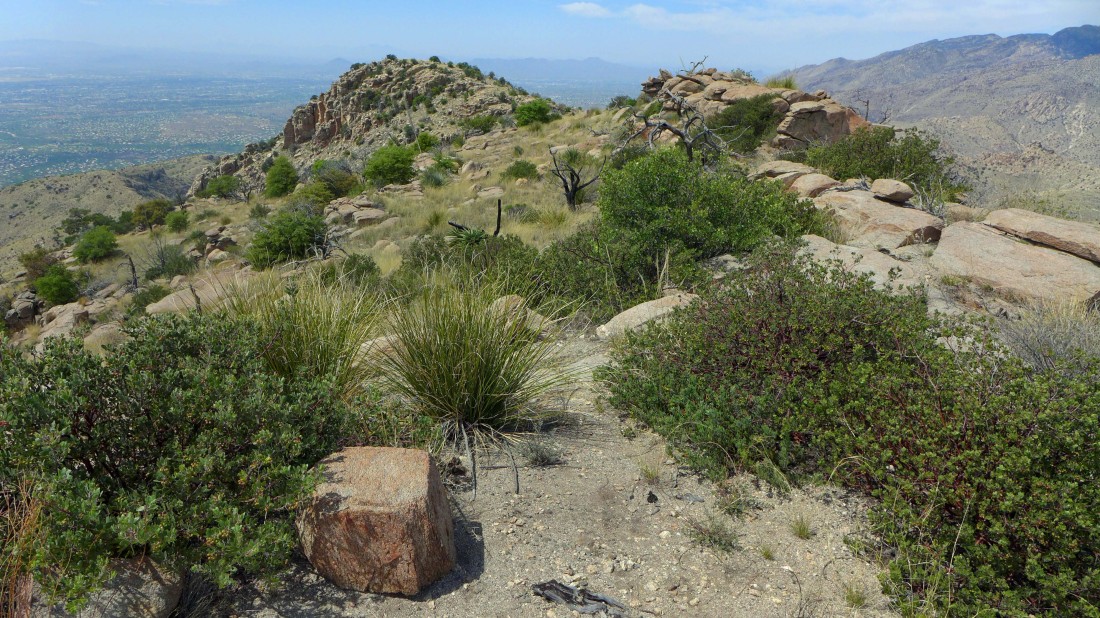
Continuing along the ridge leading to the summit of Gibbon Mountain.
|
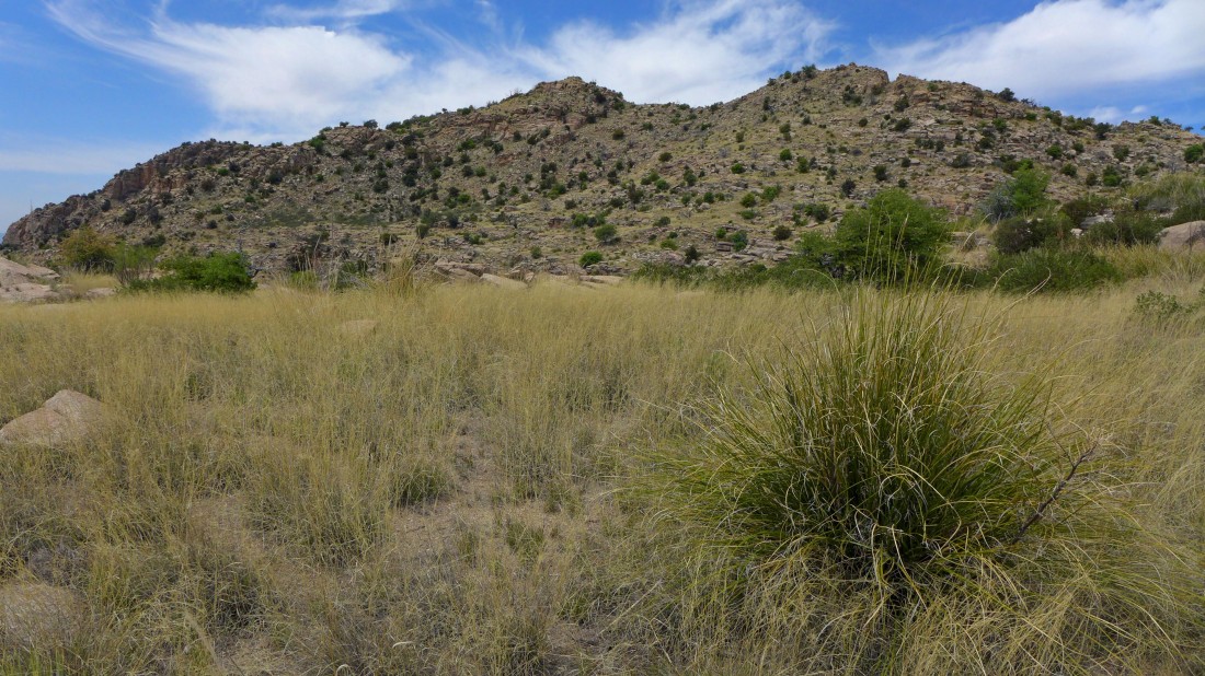
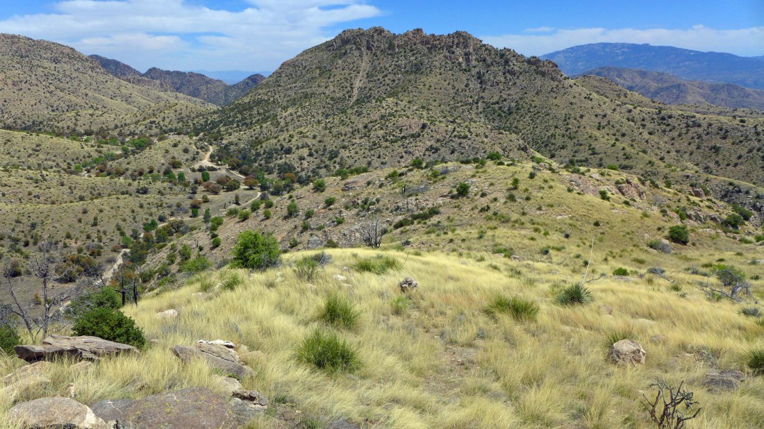
One of those two bumps in the center of the photo should be the summit.
|
On the ridge leading to the summit of Gibbon Mountain... looking down at the Molino Basin Trail in the valley.
|
Continuing to follow the ridge toward the summit of Gibbon Mountain.
|

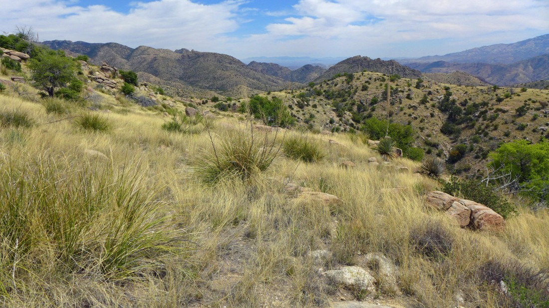
On the ridge... looking across the city of Tucson at the Santa Rita Mountains in the distance on the left.
|
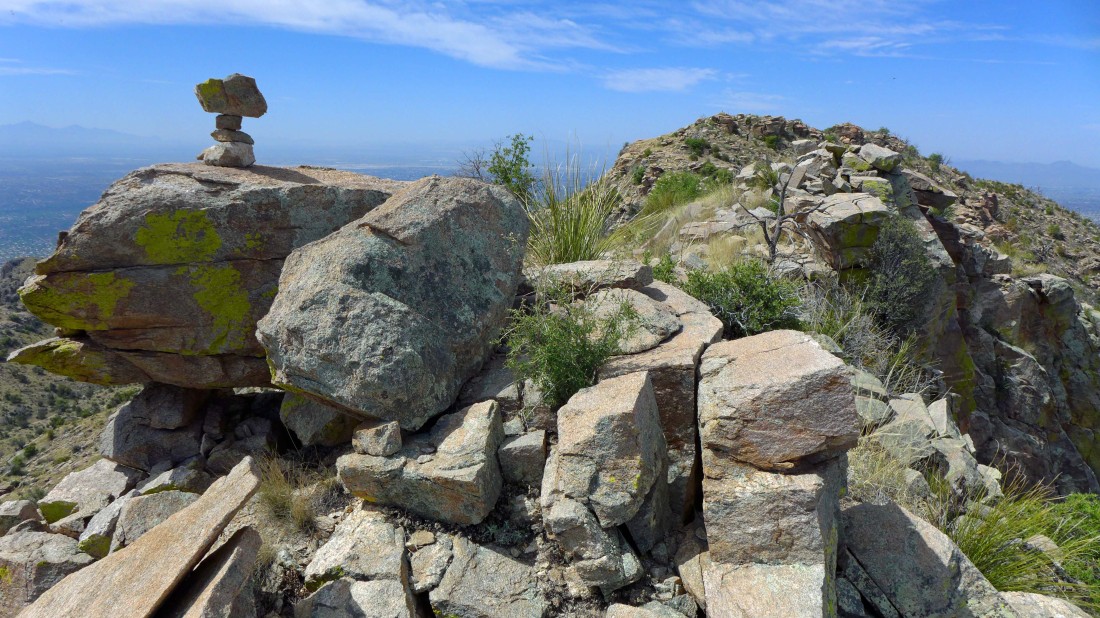
I can see a cairn up there on the bump in the center of the photo.
|
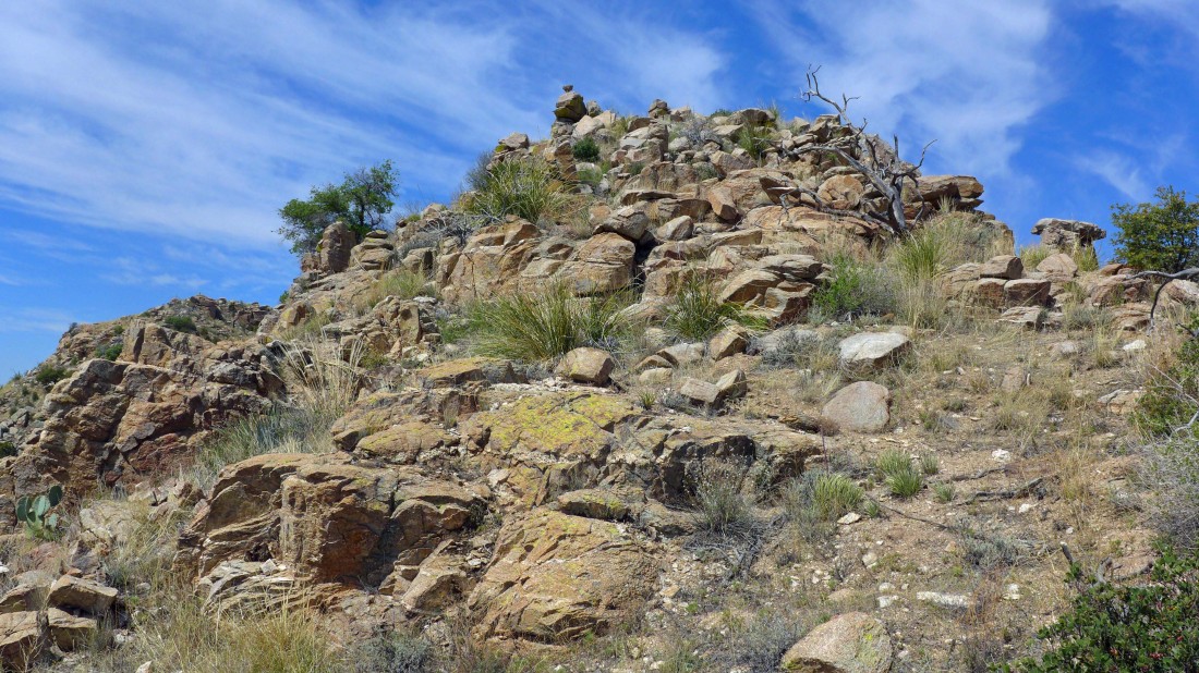
There is the cairn on the first of the two bumps... but will it be the higher of the two bumps?
|
Nearing the first of the two summit bumps... Window Peak is in the distance.
|
Incinerator Ridge from the first summit bump.
|
On the first summit bump... but the second bump looks higher from here.
|
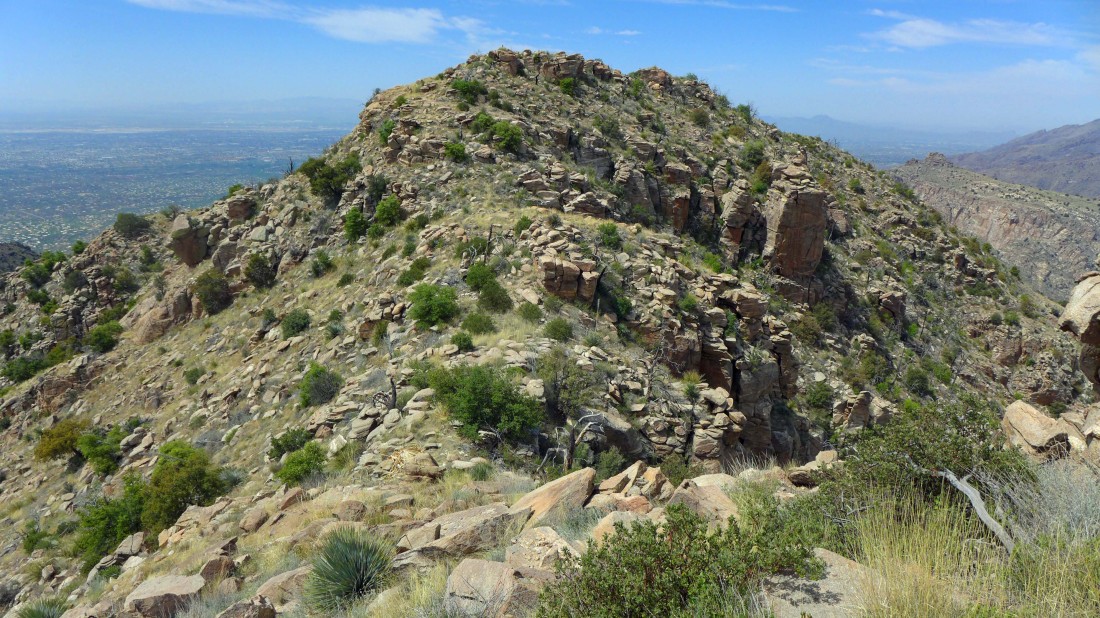
Continuing toward the second summit bump... Tucson is in the valley.
|
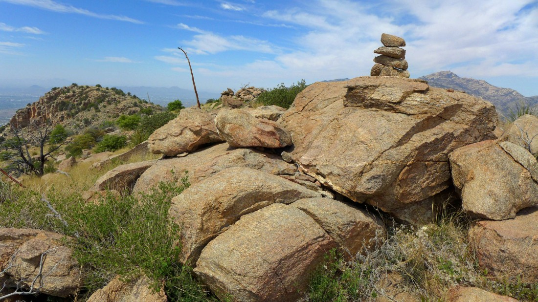
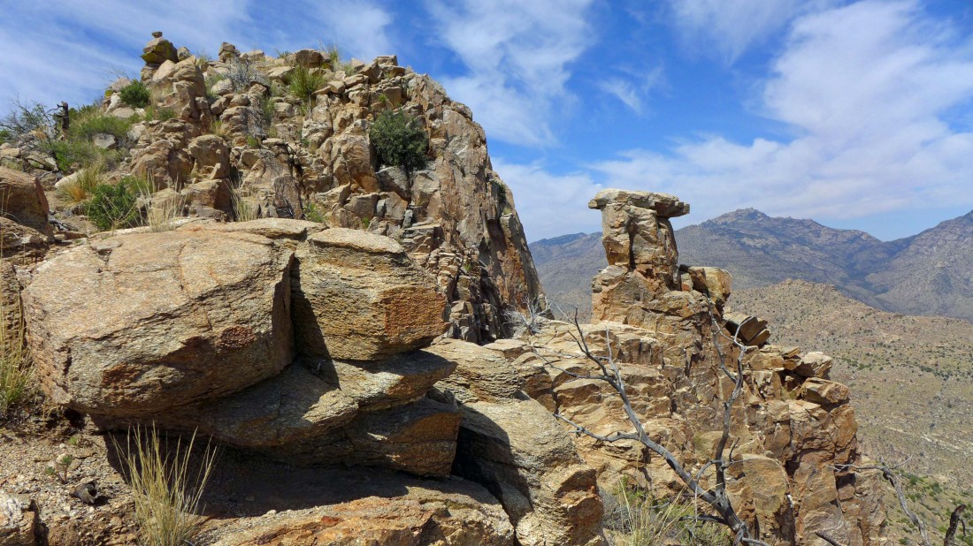
The summit (5801') cairn on the second bump... where I found the summit register... Window Peak on the horizon to the right of the cairn.
|
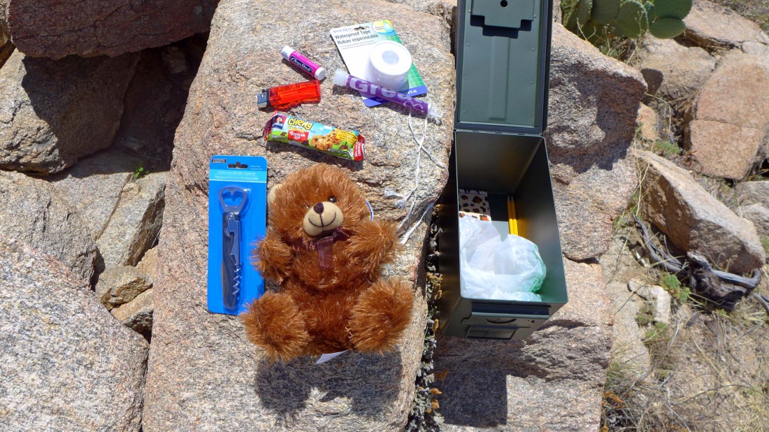
A very interesting summit register container.
|
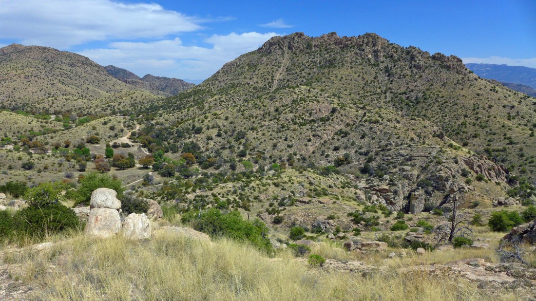
Continuing toward a third bump on the ridge.
|
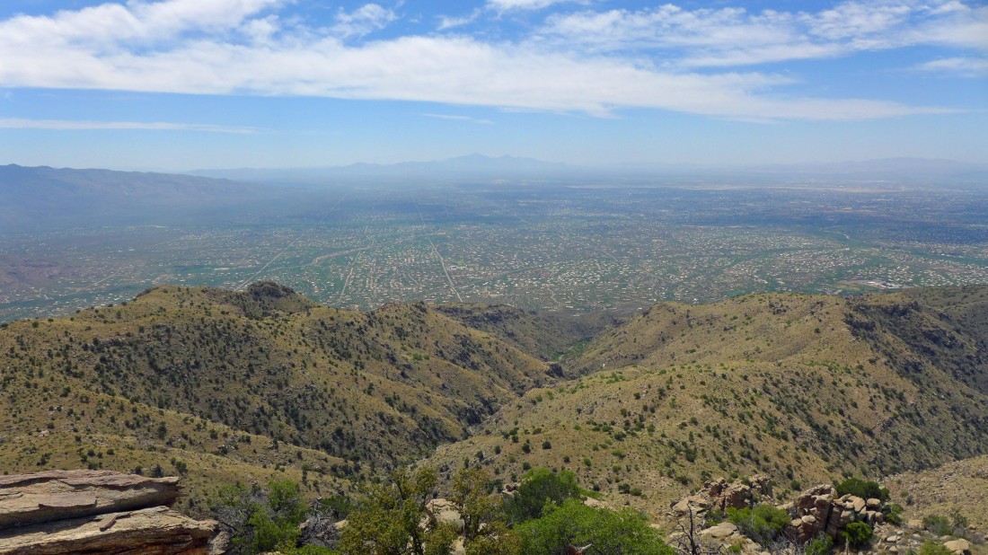
Looking across Tucson to the Santa Rita Mountains.
|
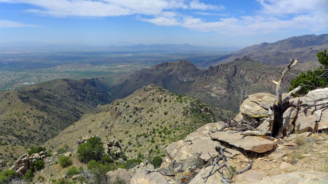
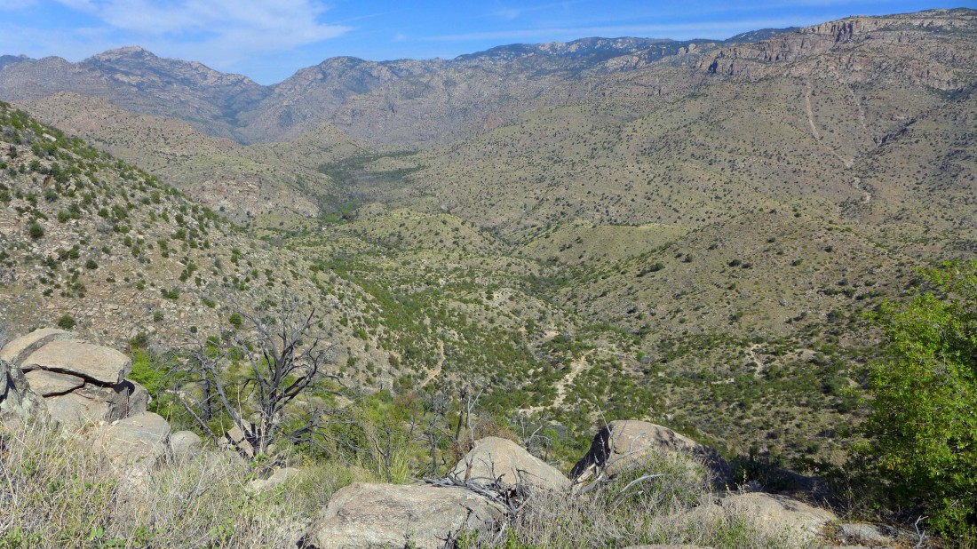
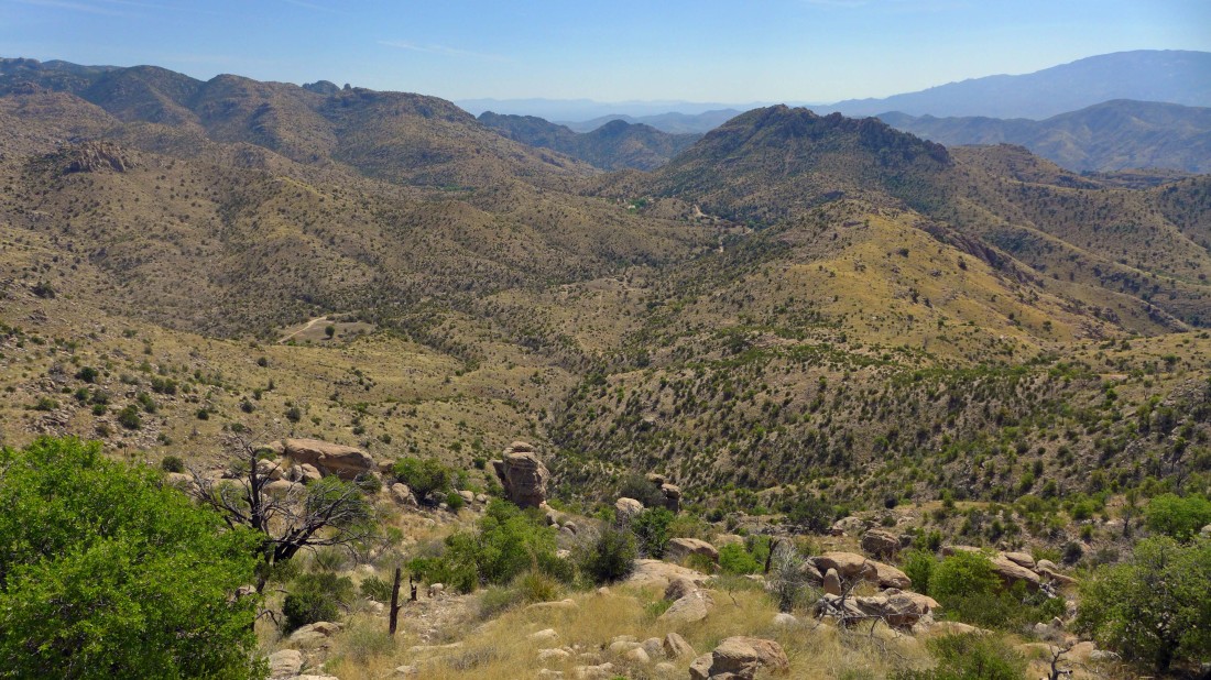
Looking down Bear Canyon to Tucson and the Tucson Mountains... Blackett Ridge (center of photo) separates Bear Canyon and Sabino Canyon.
|
Heading for the car now... I will traverse underneath the summit area on my return.
|
Heading for the car... looking back at the Gibbon Mountain summit area.
|
Looking back at the Gibbon Mountain summit area... I have decided to make a loop out of the trip by crossing over Point 5158 on my return to the car.
|
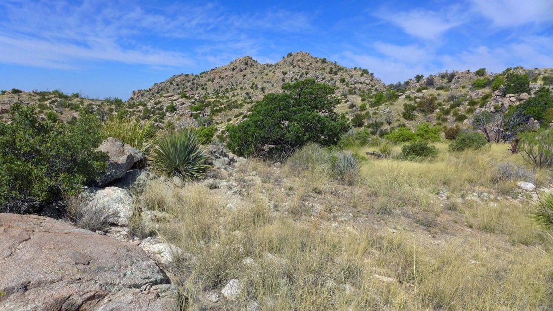
Heading for Point 5158.
|
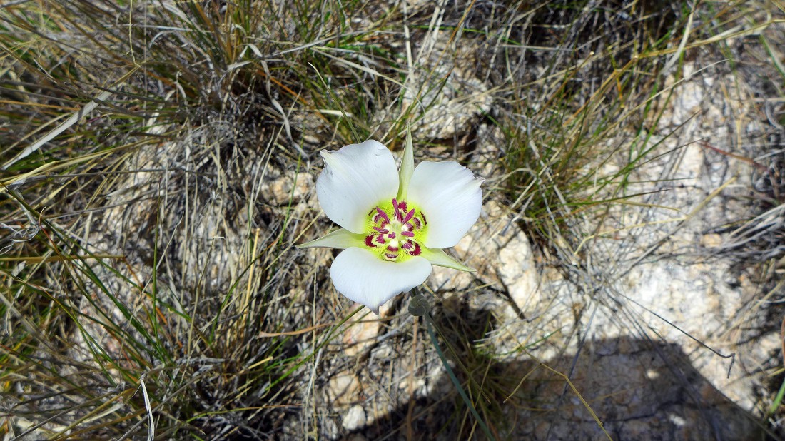
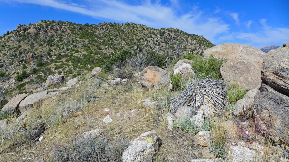
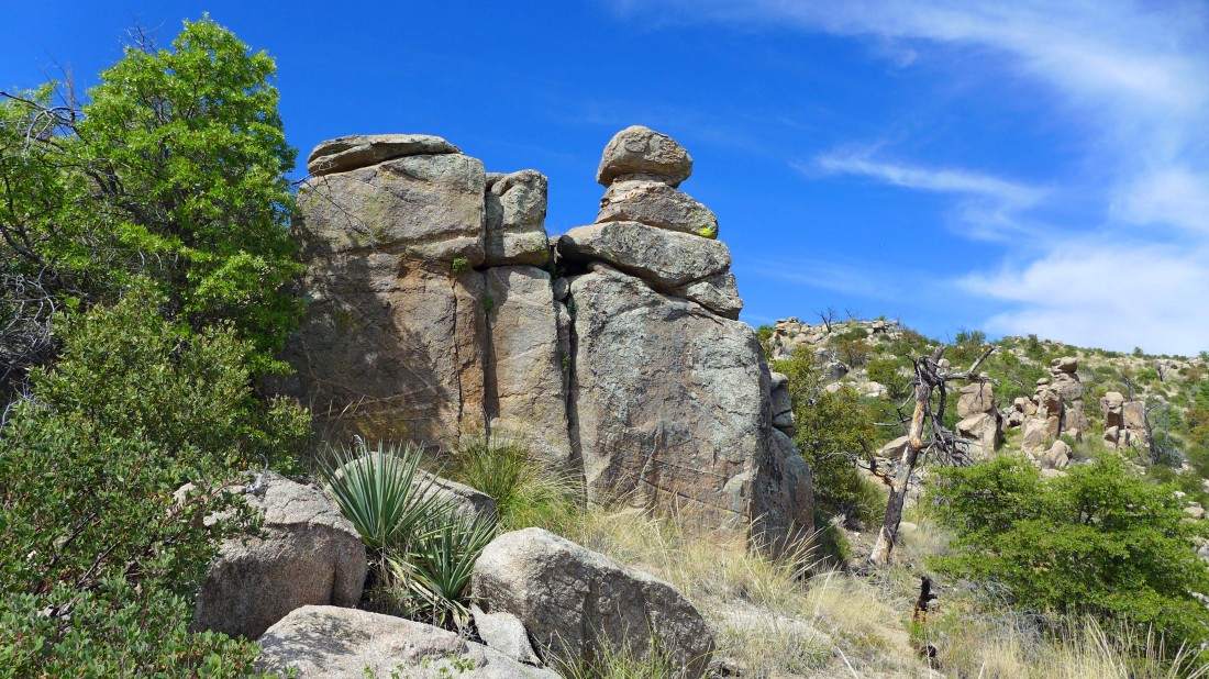
Beautiful... but no idea what it is.
|
Looking back at the Gibbon Mountain summit from Point 5158.
|
I will continue to follow this gentle ridge down to the Molino Basin Trail in the valley on the left.
|
Almost off of the ridge and back to the trail... Point 5471 is in the foreground.
|
Off of the ridge and back at the Gordon Hirabayashi Recreation Area... looking back at Gibbon Mountain (center of photo) and the ridge on the left that I used to get back down here.
|
Continuing down on the Molino Basin Trail... a 1.5 mile hike will get me back to the car... the entire trip was 8 miles, gaining 1672 feet of elevation.
|
