Thimble Peak - 4.15.2017
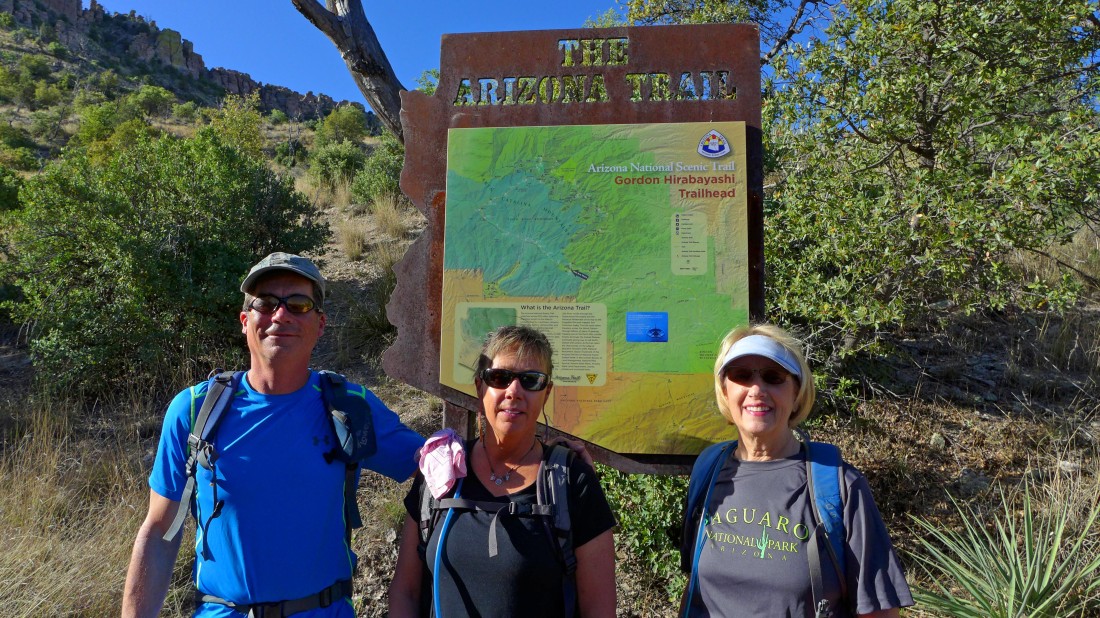
We started the hike at the Gordon Hirabayashi Trailhead.
|
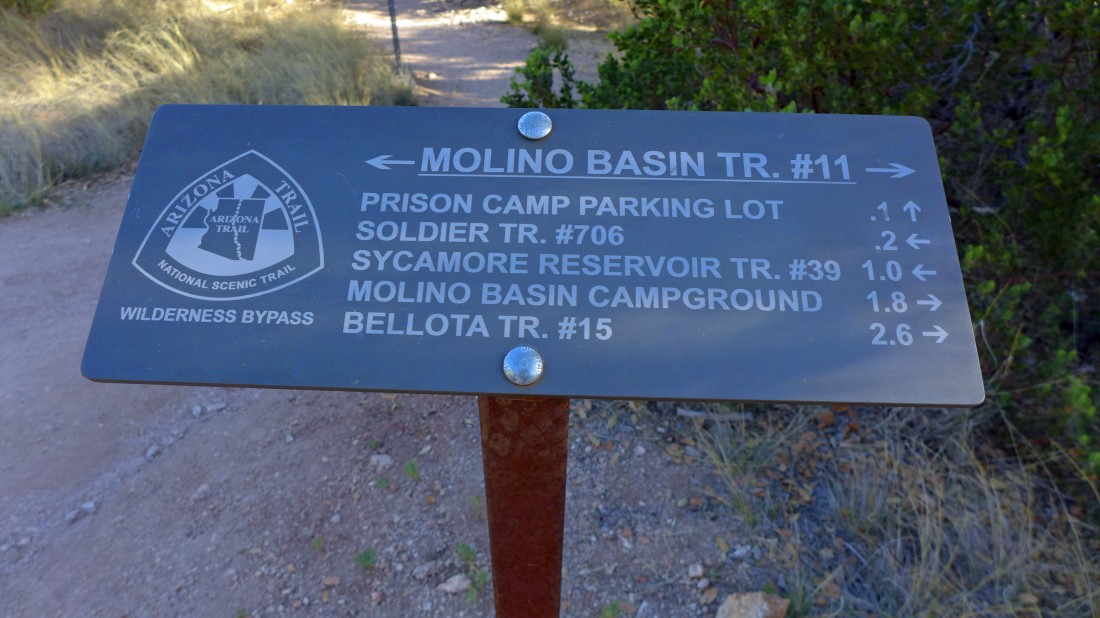
Even though we started the hike at the Gordon Hirabayashi Trailhead we used the Molino Basin Trail #11 and hiked toward the Sycamore Reservoir Trail.
|
After hiking a mile on the Molino Basin Trail for 1 mile we arrived at Shreve Saddle and started downhill on Sycamore Reservoir Trail #39.
|
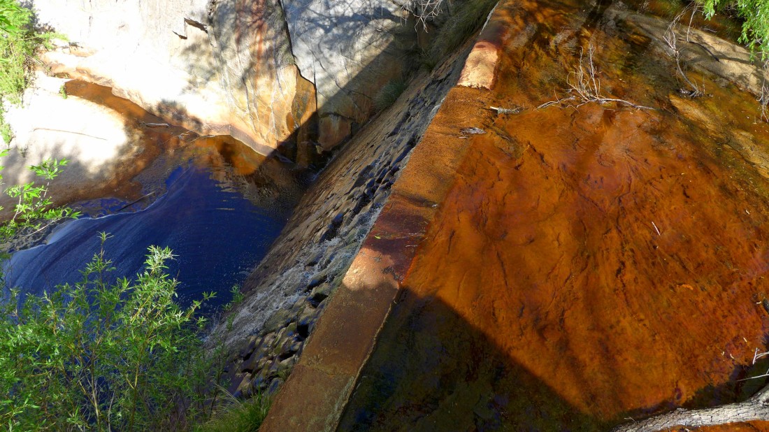
After hiking a mile or so on the Sycamore Reservoir Trail we arrived at the Sycamore Reservoir and dam.
|
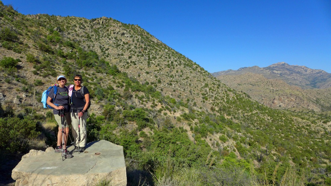
We can see Thimble Peak from the Sycamore Dam, but we won't go toward it from here.
|
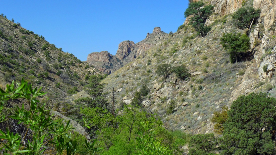
We connected with the Bear Canyon Trail #29... when we get up to the saddle above we will be able to see Thimble Peak.
|
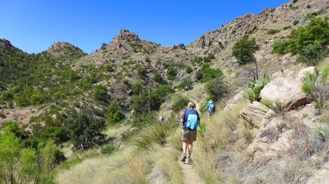
We can see Thimble Peak and will leave the Bear Canyon Trail and follow a very nice path that will stay above the canyon and lead us over to the peak.
|
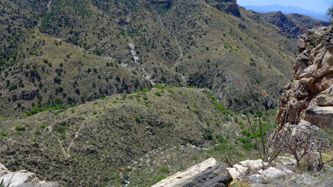
Looking down on Bear Canyon as we continue on the path to Thimble Peak.
|
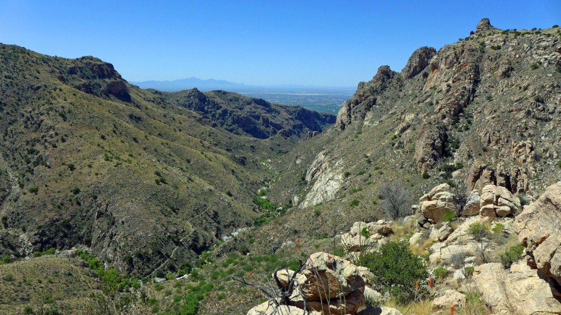
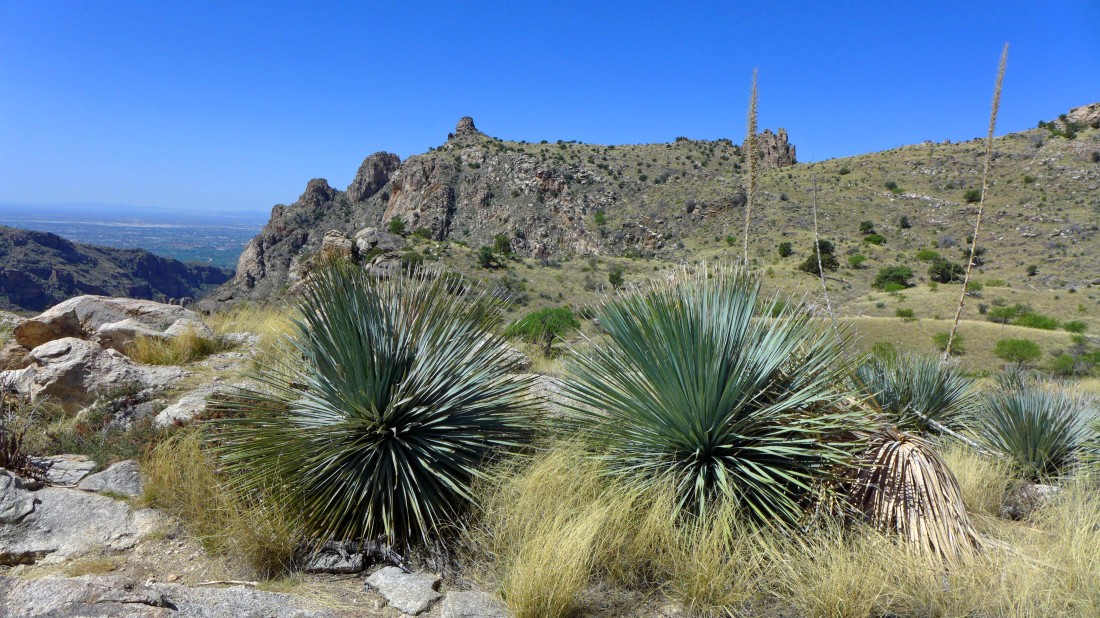
Looking down Bear Canyon to Tucson and the Santa Rita Mountains... Thimble Peak on the right.
|
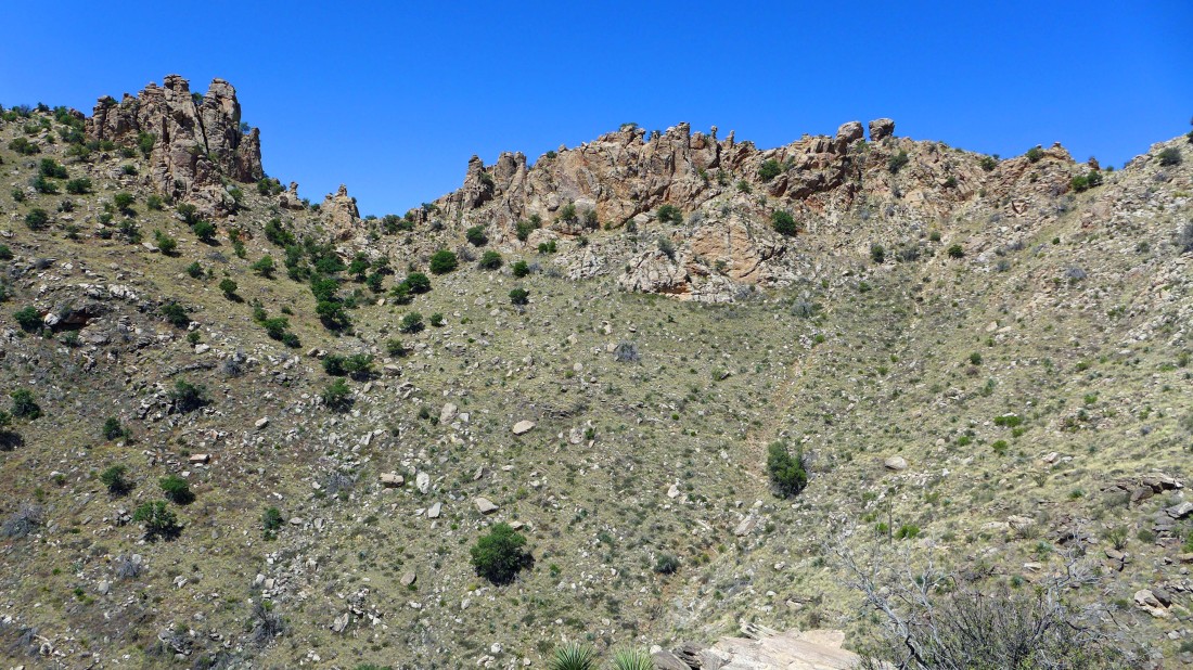
Working our way around a basin.
|
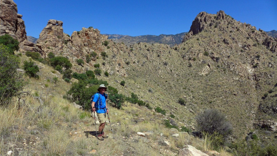
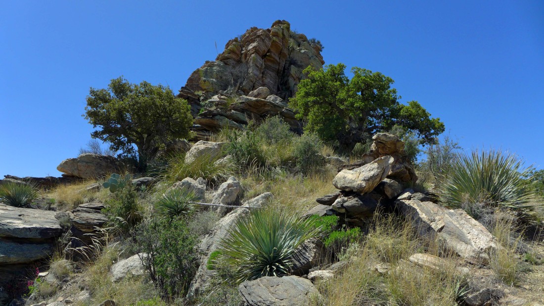
Lots of interesting rock formations on our route.
|
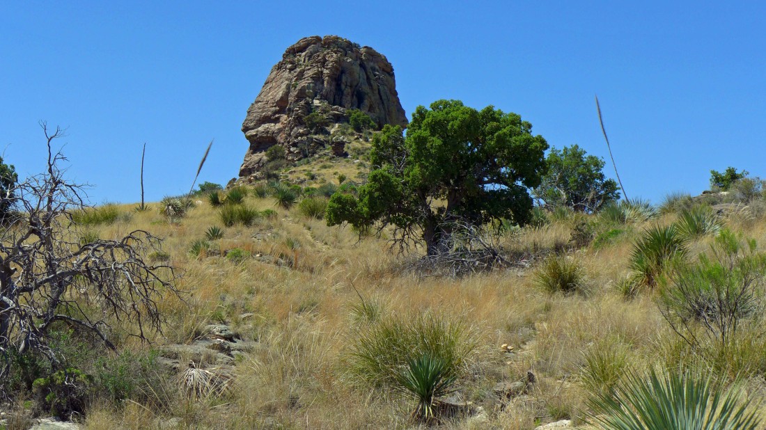
Approaching Thimble Peak.
|
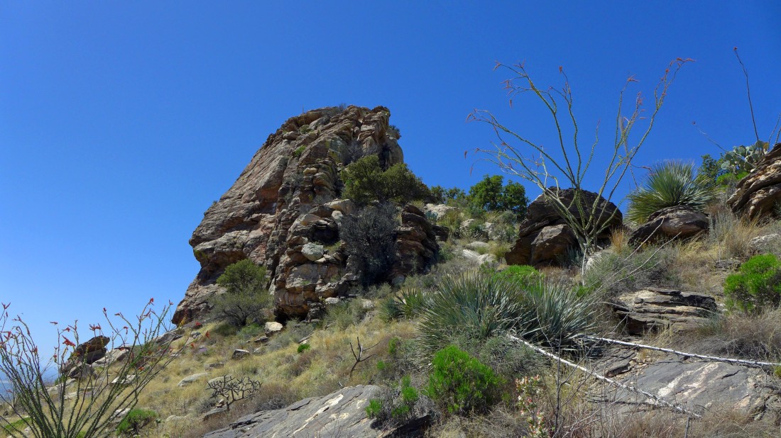
The north side of Thimble Peak.
|
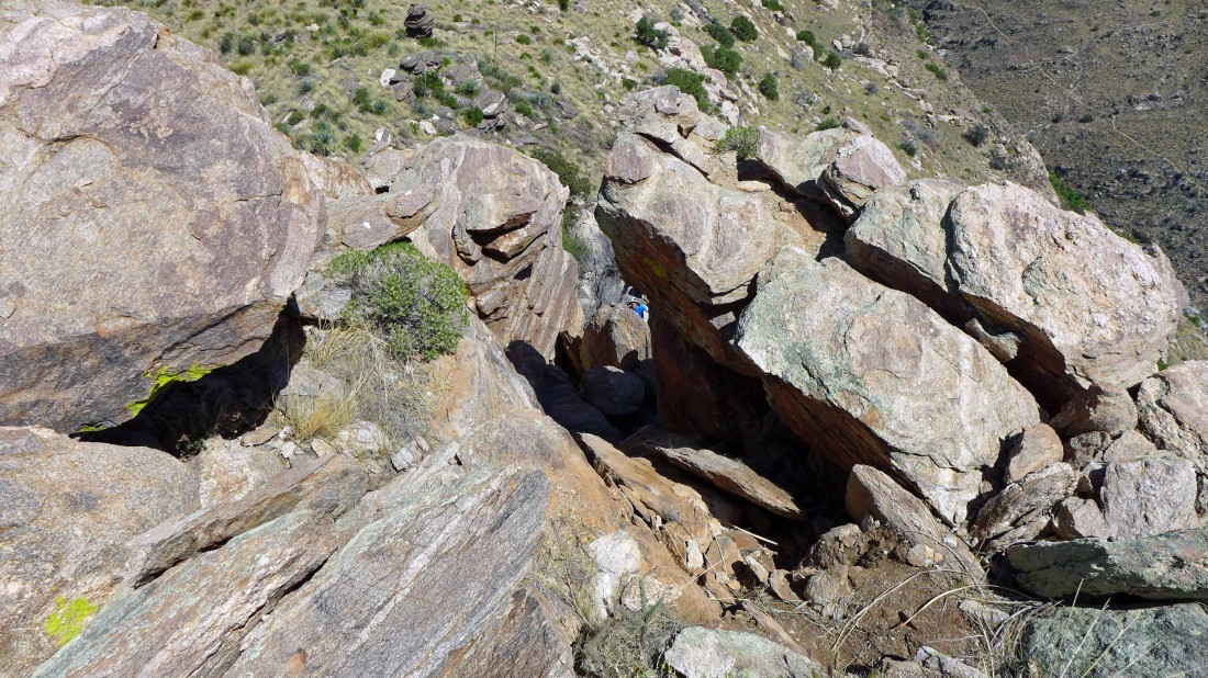
We will use the chimney just to the left of center... looks like it is covered with brush at the bottom.
|
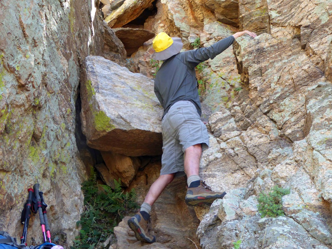
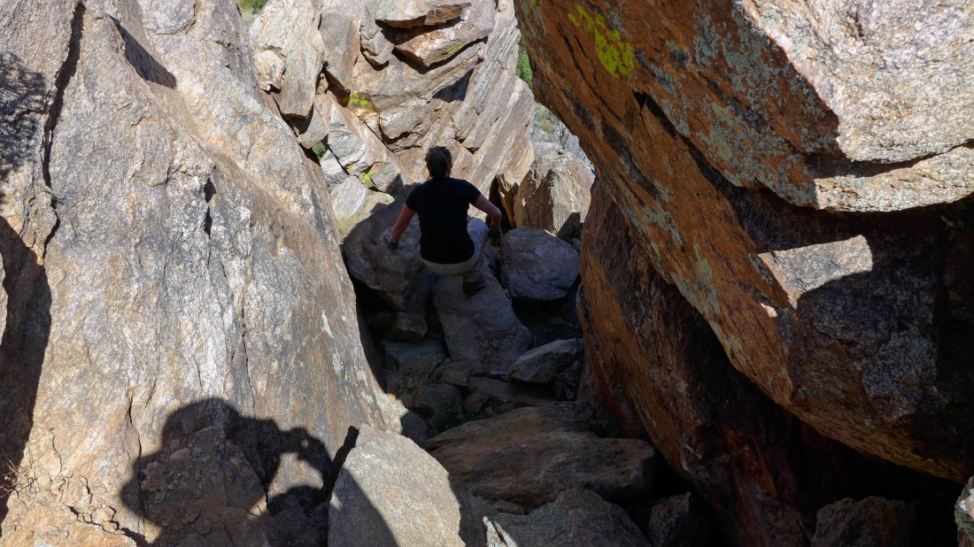
Starting up... Class 3.
|
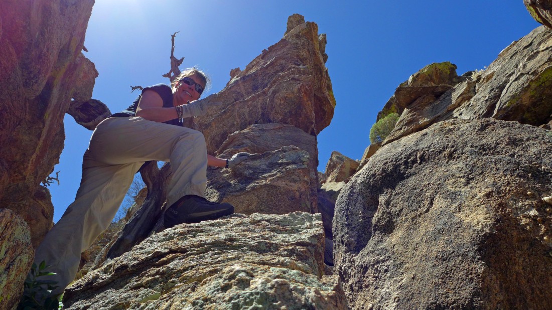
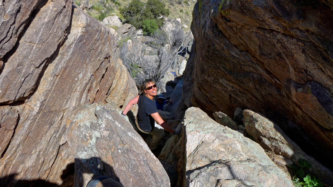
Elle heading up... fun scramble.
|
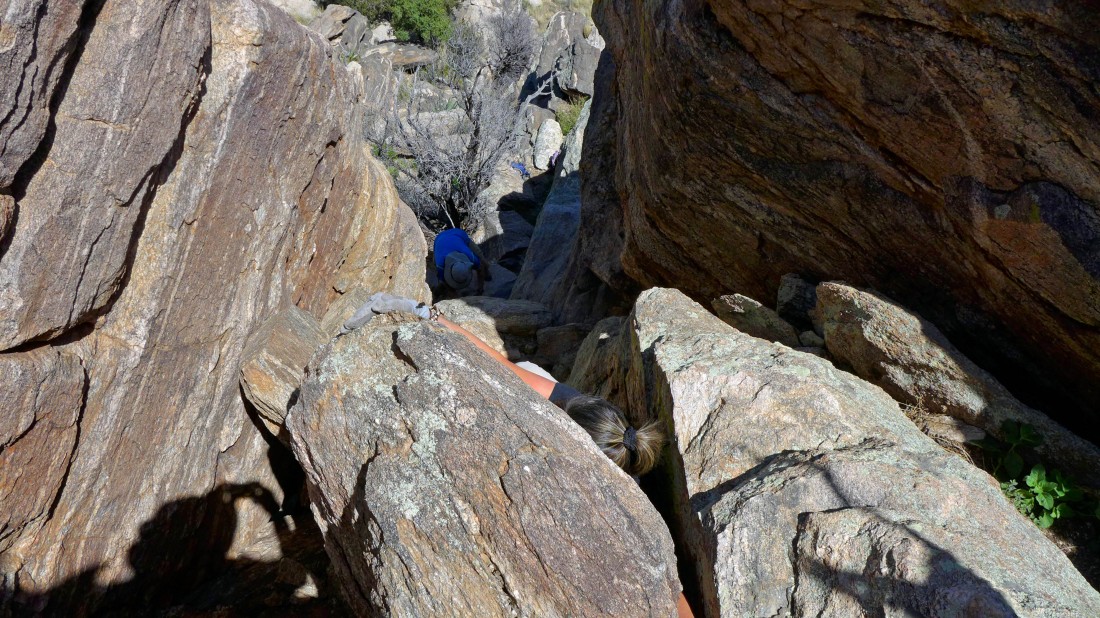
Looking down at Rob at the bottom of the chimney.
|
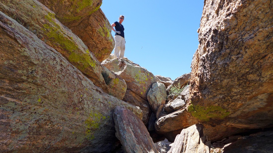
Elle at the top of the chimney.
|
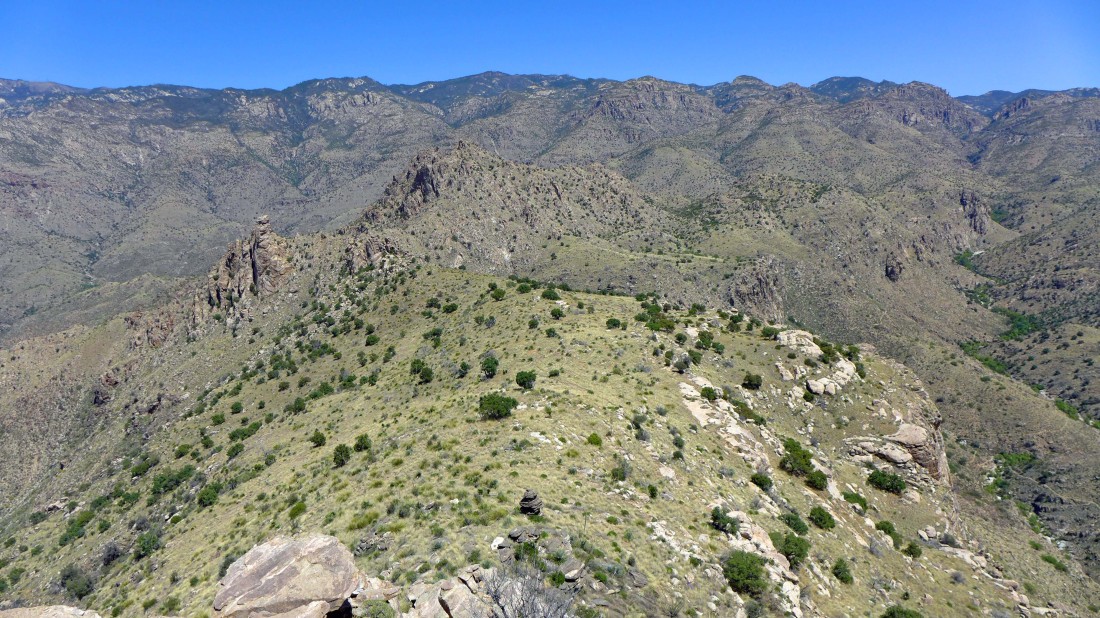
Looking into the Pusch Ridge Wilderness from the false summit of Thimble Peak... Incinerator Ridge is on the skyline.
|

Elle checks out the true summit of Thimble Peak... 15 feet higher than where we are... look closely and you can see the 8 foot ladder that helps deal with a Class 5 section of rock... but we couldn't get to the ladder.
|
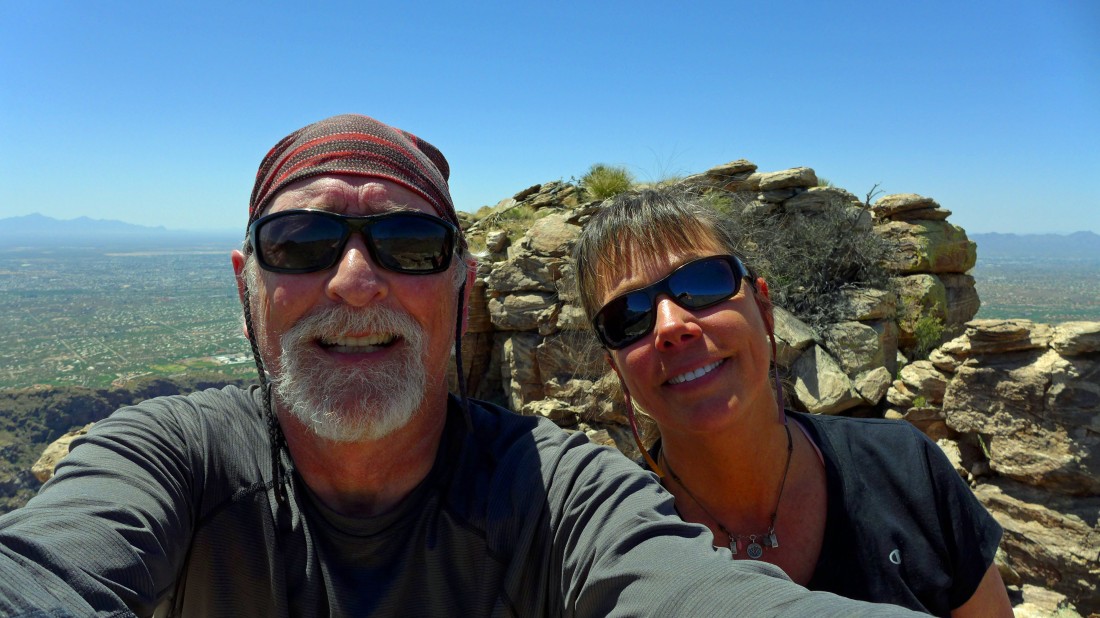
A selfie from our summit.
|
Heading down from the summit.
|
Being careful.
|
Having fun now.
|
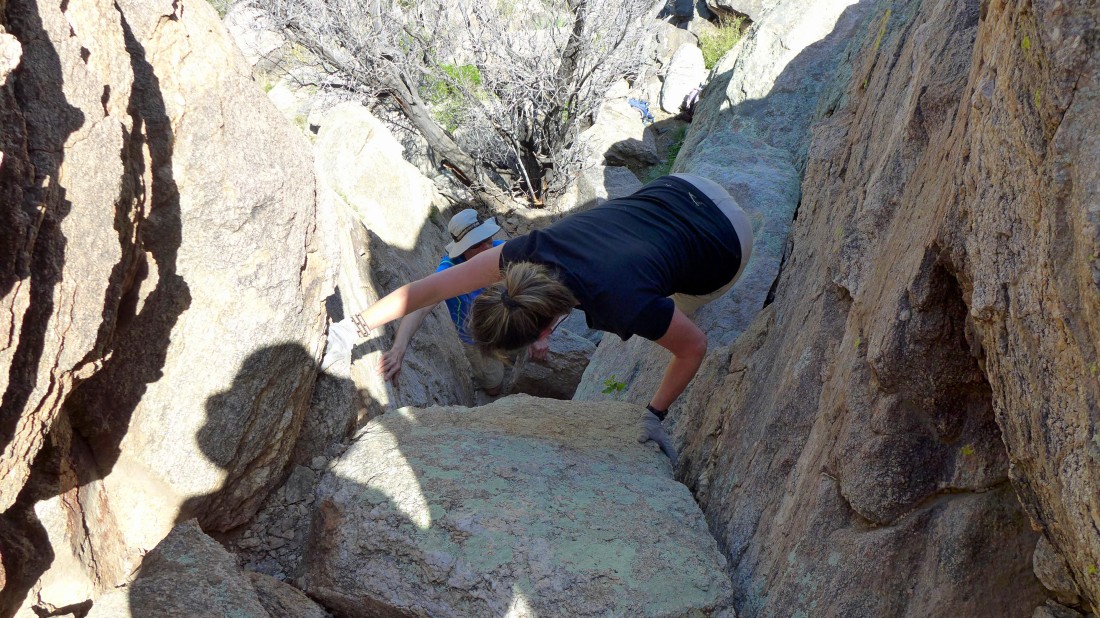
One last move to get back on easier ground... the entire hike was 10.8 miles, gaining 2474 feet of elevation.
|
