BaBa BaBad Rock, Leopold Point and Barnum Rock - 4.23.2017
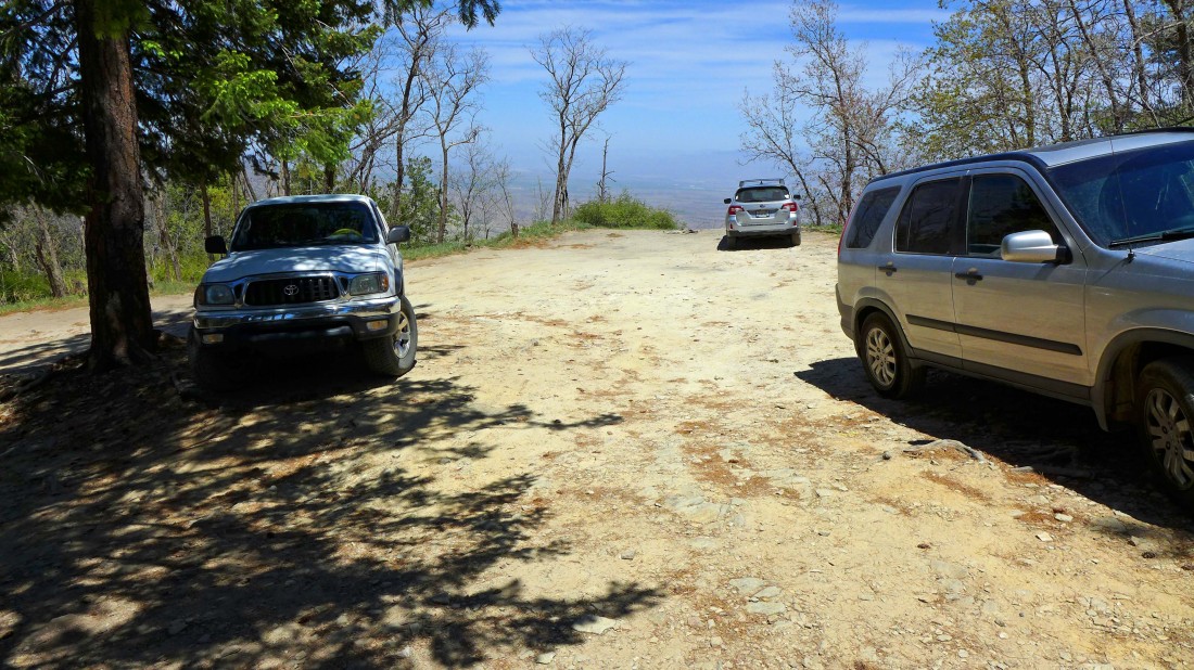
We started this hike by turning off of Mt. Lemmon Highway onto N. Incinerator Ridge Road and driving a half-mile to the end of the road... this road is a shortcut to Incinerator Ridge... located a quarter mile east of the Palisade Visitor Center.
|
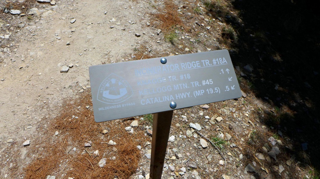
We will hike east on Incinerator Ridge Trail #18A.
|
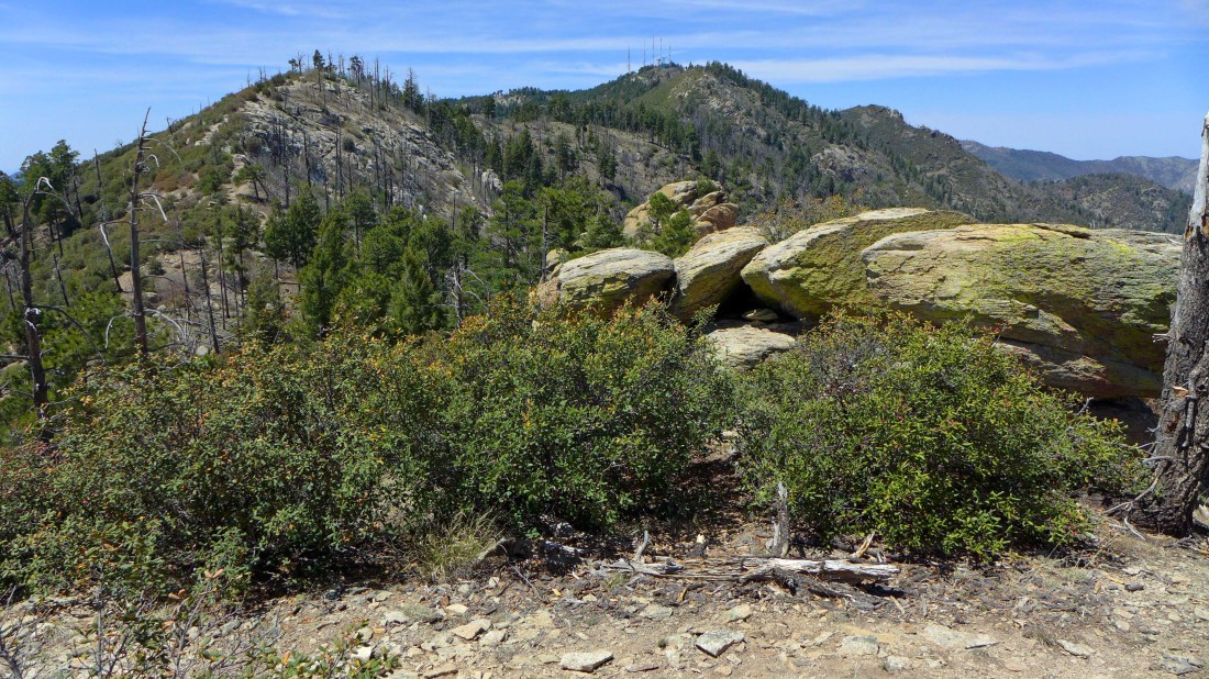
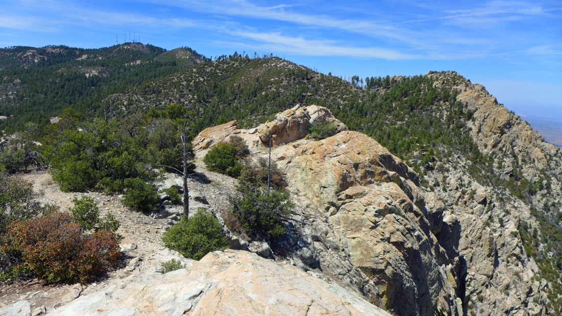
We are at Leopold Point... looking back at Incinerator Peak on the left... with Mt. Bigelow (towers) and Kellogg Mountain in the center of the photo.
|

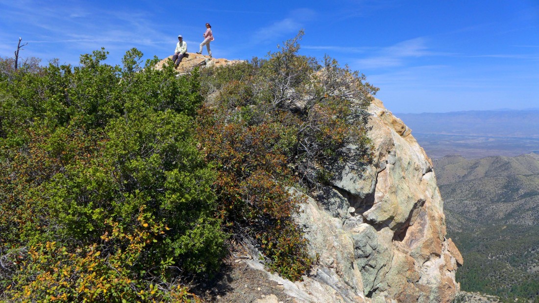
Posing on Leopold Point... Gail will go back and relocate our car to San Pedro Vista so that Barb, Tom and I can continue to hike along Incinerator Ridge and meet her at the vista pull out.
|
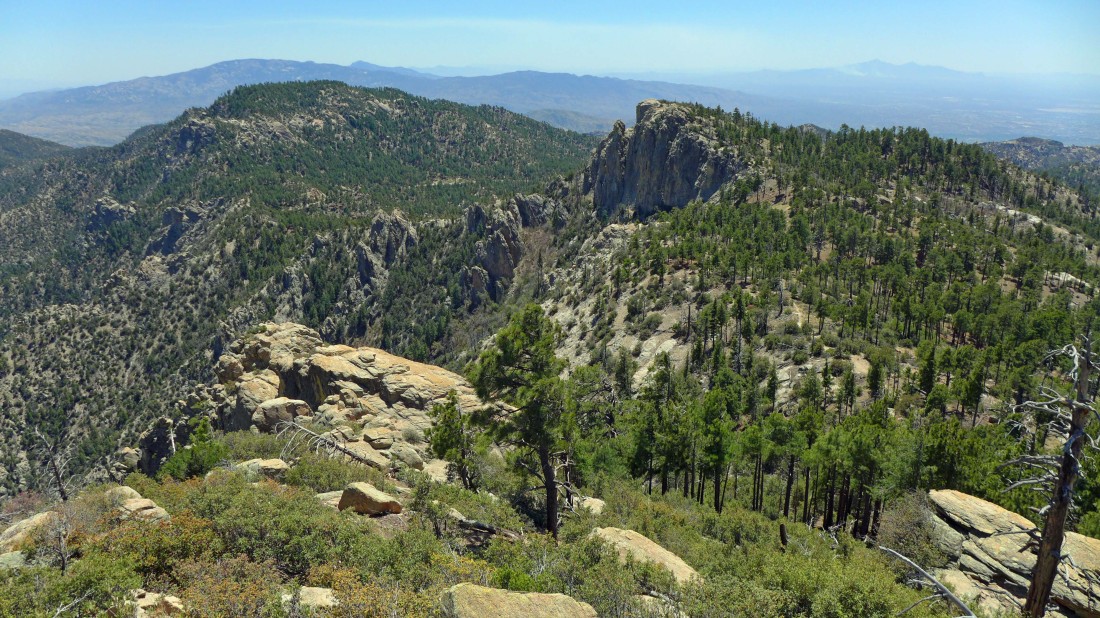
We are on Leopold Point... we will follow the Incinerator Ridge Trail over to Barnum Rock in the right foreground... Green Mountain is on the left.
|
We are on Barnum Rock... looking back at Mt. Bigelow (towers)... then Kellogg Mountain... then Incinerator Peak... and Leopold Point on the right.
|
Tom and Barb relax on Barnum Rock.
|
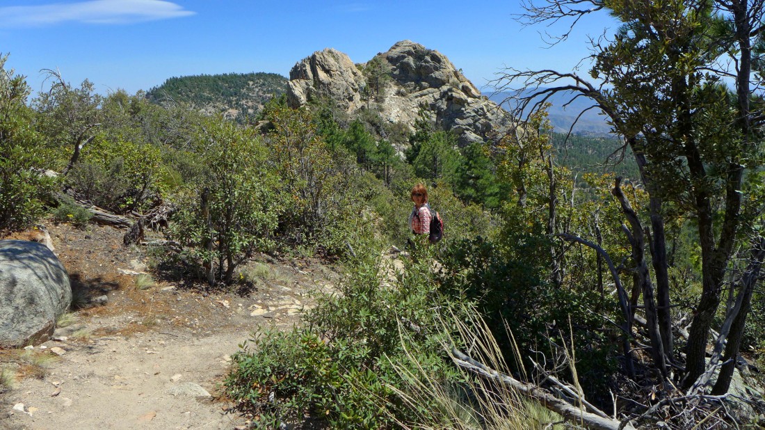
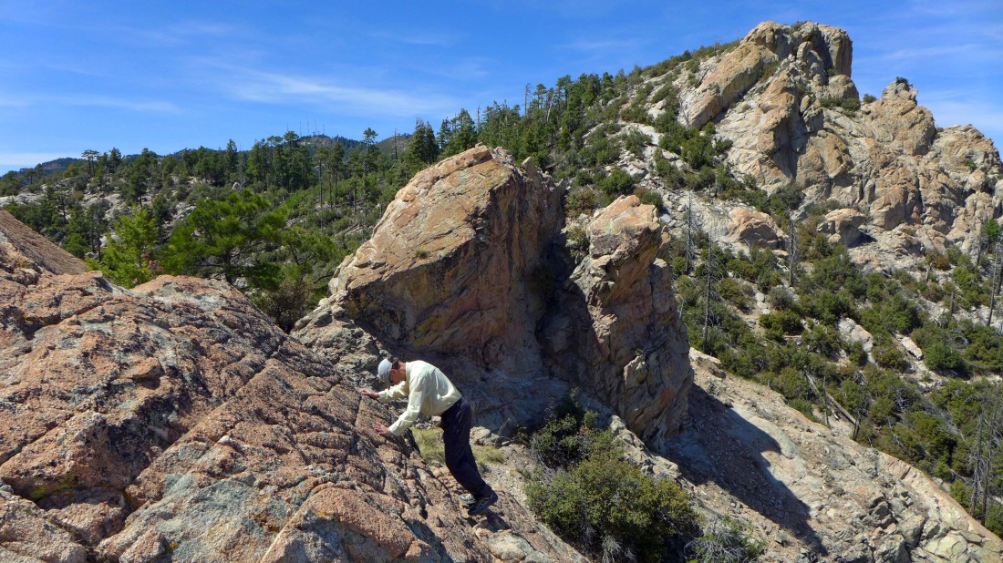
Continuing on the Incinerator Ridge Trail... approaching BaBa BaBad Rock.
|
Barb relaxes while I scramble up BaBa BaBad Rock... looking back at Barnum Rock.
|
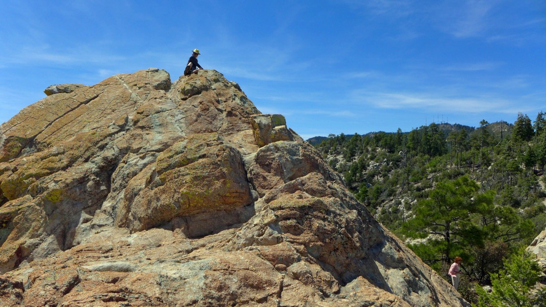
On top of BaBa BaBad Rock.
|
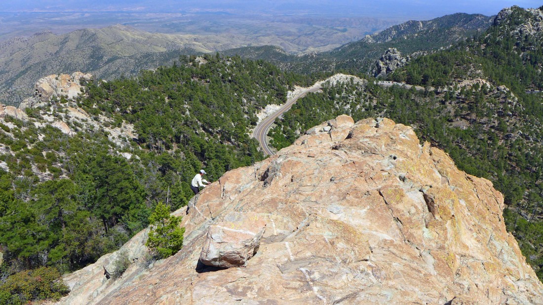
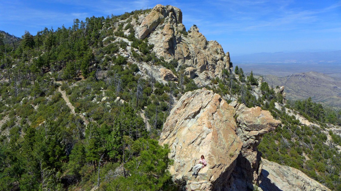
Her comes Tom... working the Class 3 section of the route up to the top of BaBa BaBad Rock... Mt. Lemmon Highway is below... and the San Pedro Vista pull out is next to the road on the right.
|
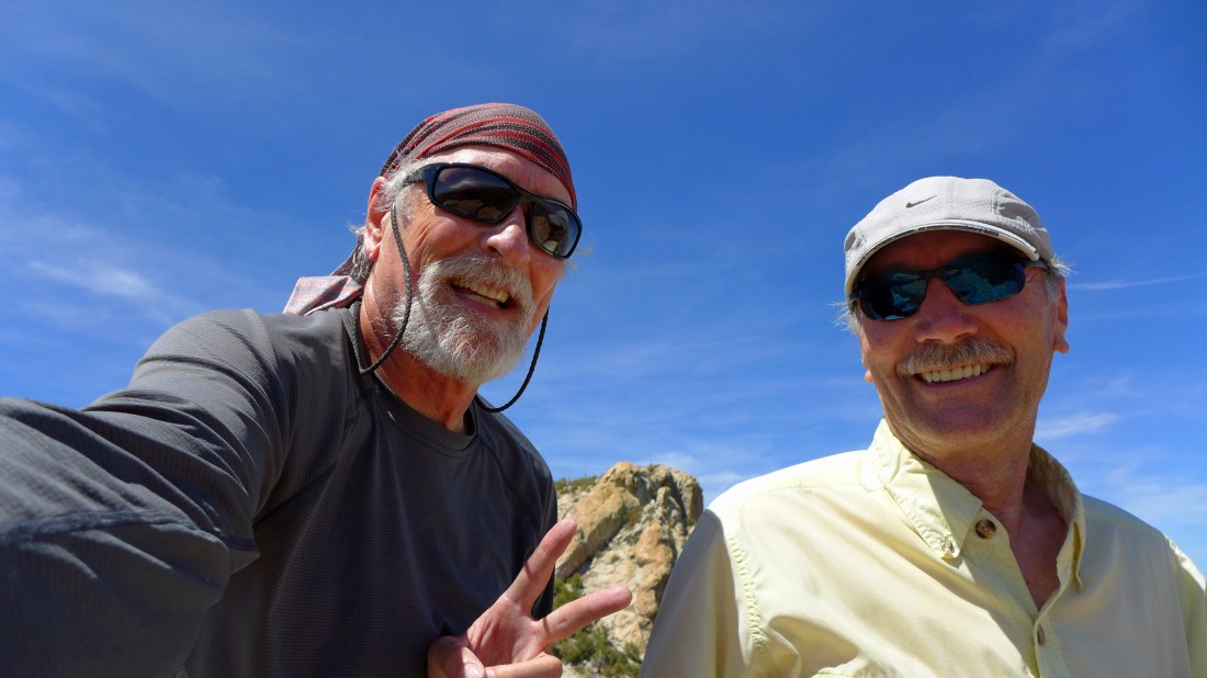
Tom and I on top of BaBa BaBad Rock... with Barnum Rock and Leopold Point behind us.
|
Tom heading down from the top... working the Class 3 section of our scramble.
|
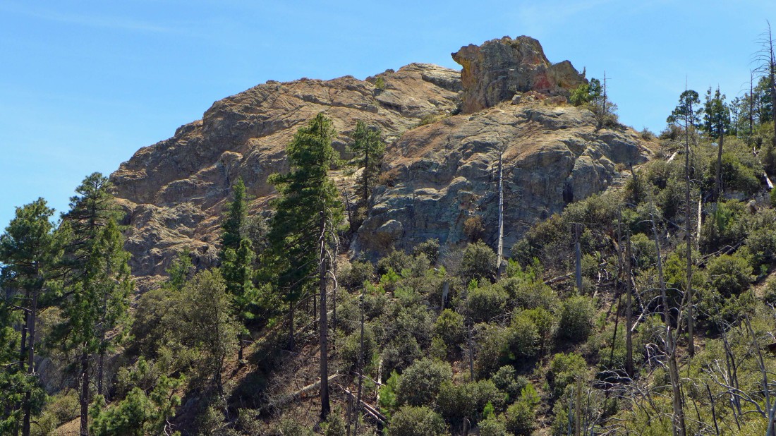
Contiuing toward San Pedro Vista... looking back at BaBa BaBad Rock... the high point is to the left of the block on the right.
|
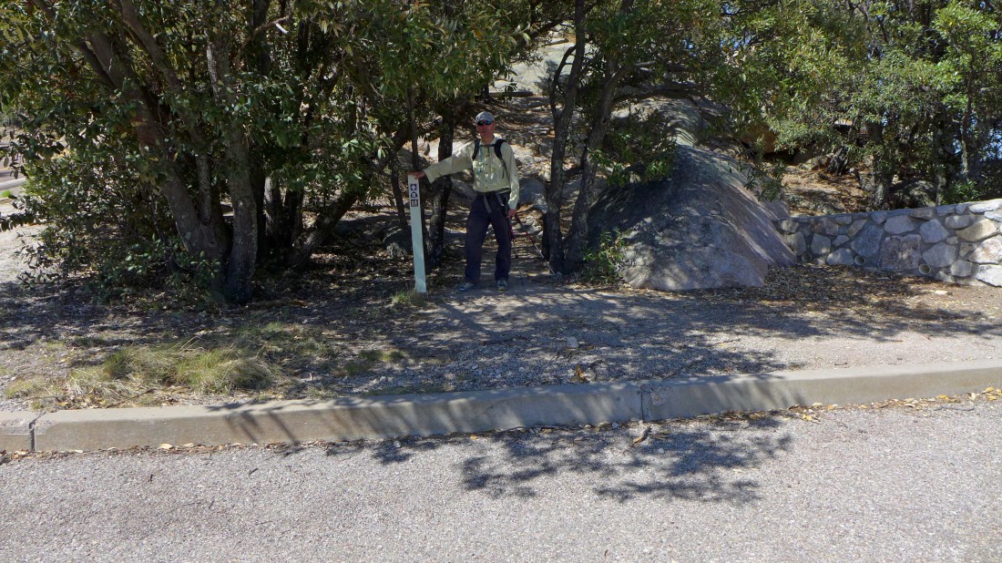
Tom has arrived at San Pedro Vista pull out... where Gail is waiting for us... this one way hike was 2 miles, gaining 467 feet of elevation.
|
