Iron Peak (South Ridge Direct) - 5.9.2017
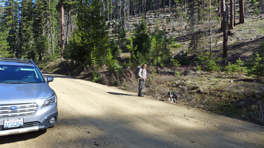
From 29 Pines Campground we drove the N. Fork Teanaway River Road (aka FS-9737) for 5.3 miles and parked on the side of the road... then crossed the road and headed uphill.
|
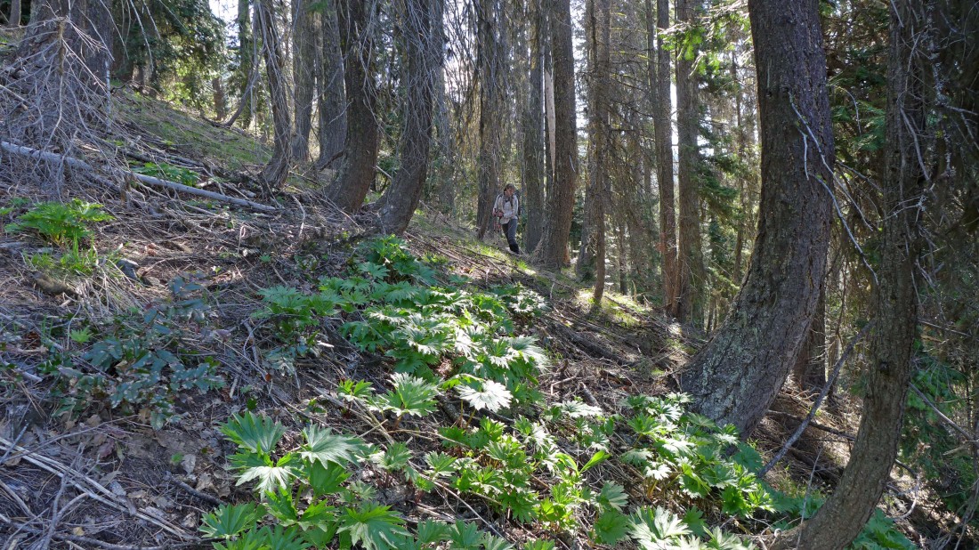
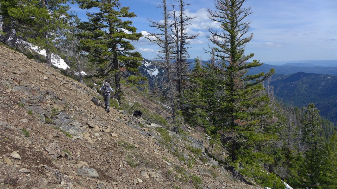
On fairly steep terrain... there isn't a trail... but occasionally we found animal paths that made life a bit easier.
|
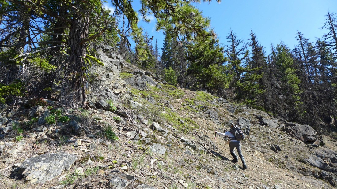
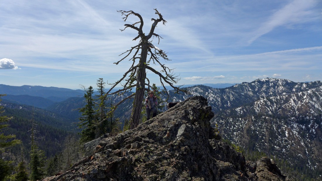
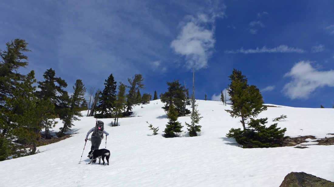
Izzy leads the way on the south ridge of Iron Peak.
|
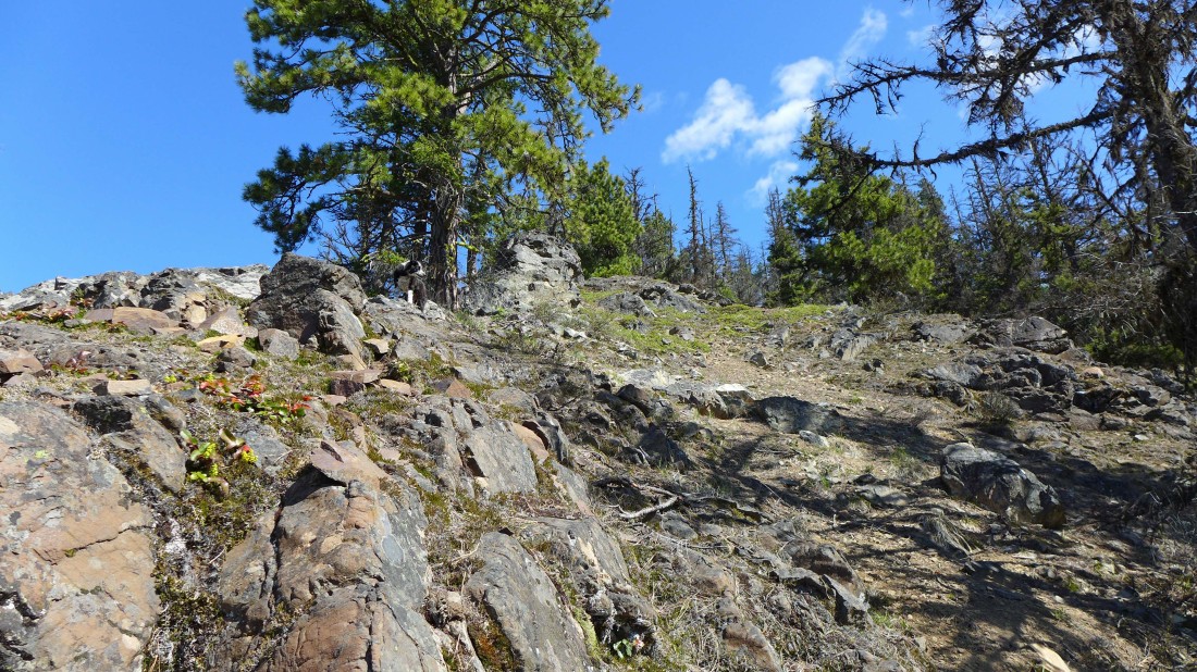
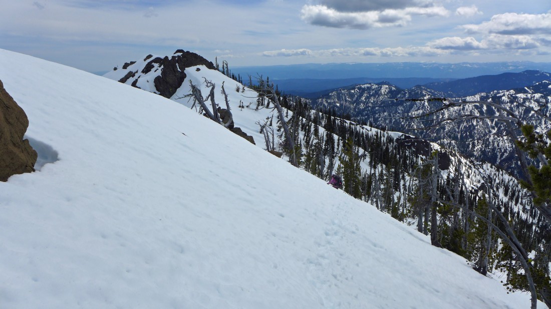
This gives an idea of the steepness of the terrain on the south ridge of Iron Peak.
|
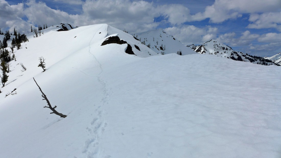
We have found what might be a hunter's path on the ridge.
|
High enough now that we can see the SSE ridge of Iron Peak on the other side of the drainage on the right... both the south and the SSE ridge will join up near the center of the photo.
|
Steeper than it looks.
|
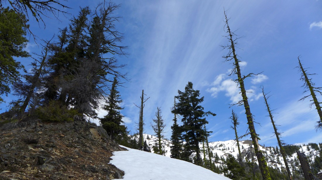
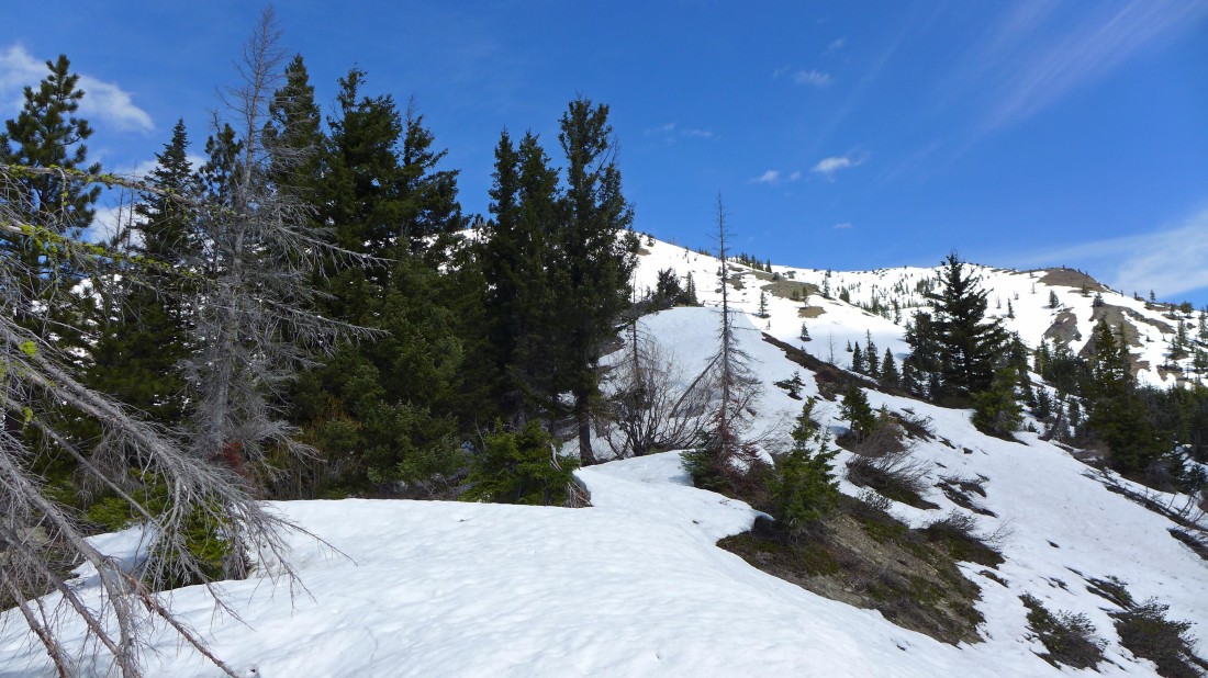
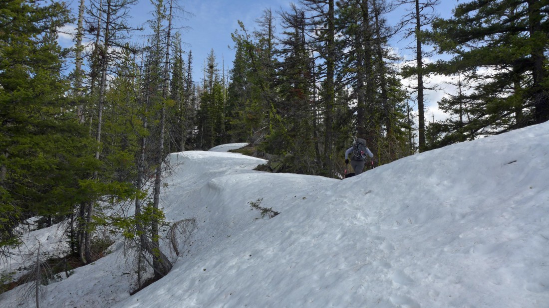
We hit some patchy snow near 5000 feet.
|
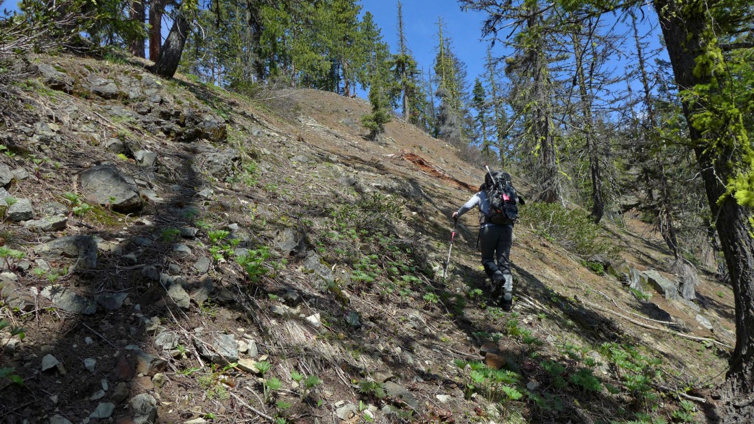
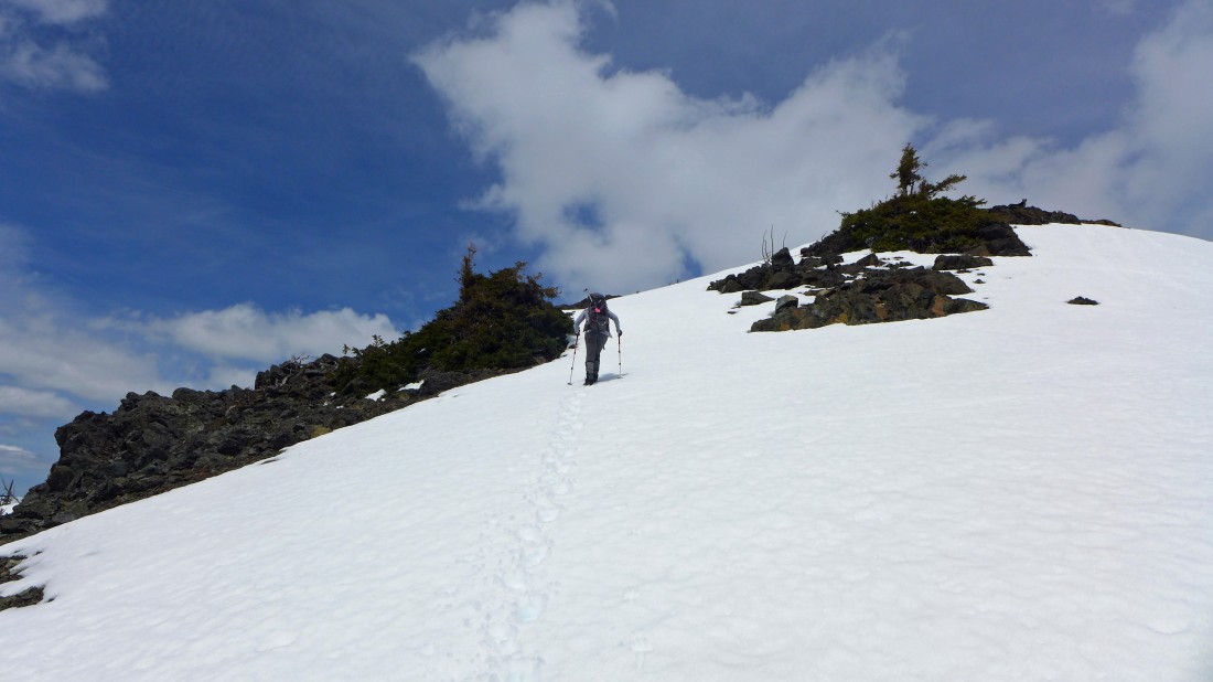
Gaining elevation on the south ridge of Iron Peak.
|
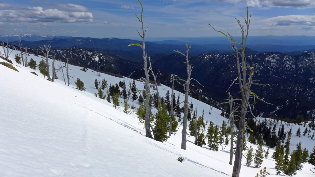
Heading up on the south ridge... with the SSE ridge coming in above on the right.
|
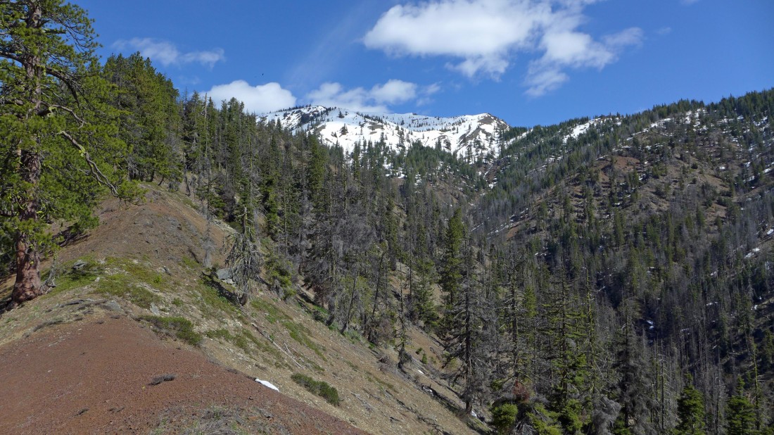
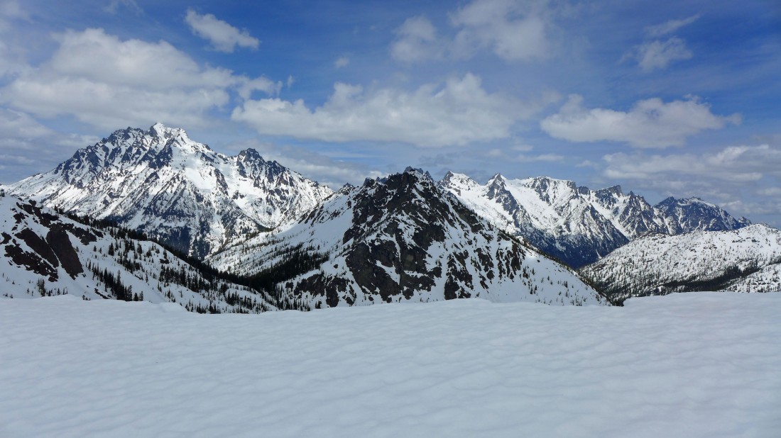
On the south ridge... looking across the SSE ridge to Mary Peak and Judy Peak... and on over to Earl Peak.
|
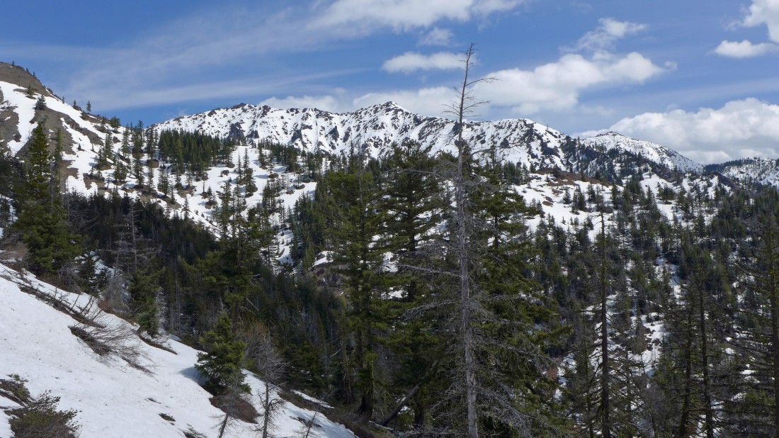
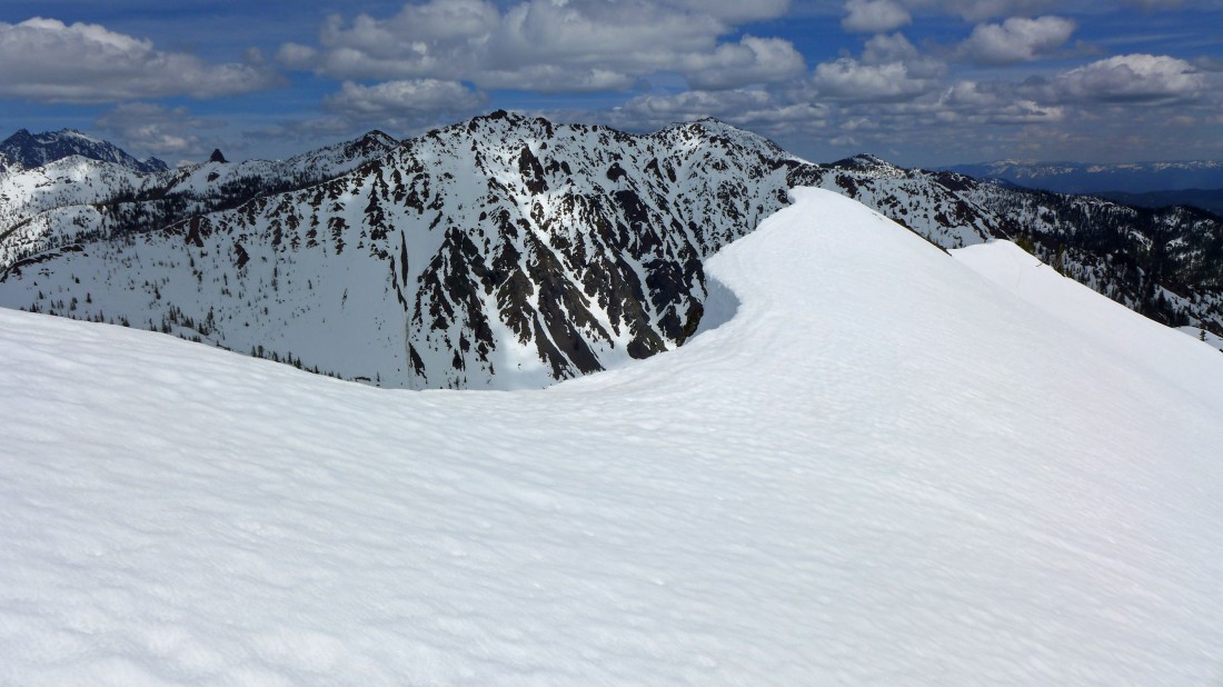
Continuing up the south ridge of Iron Peak... we are at ~5000 feet... the bump in the center of the photo will put us at ~5800 feet... Iron's SSE ridge is coming in from the far right.
|
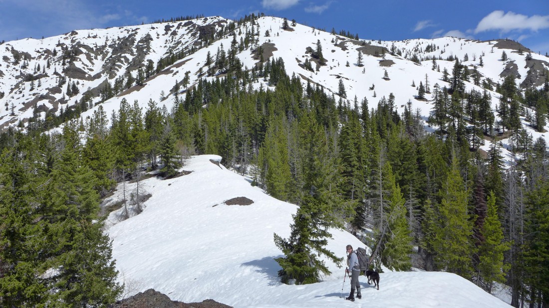
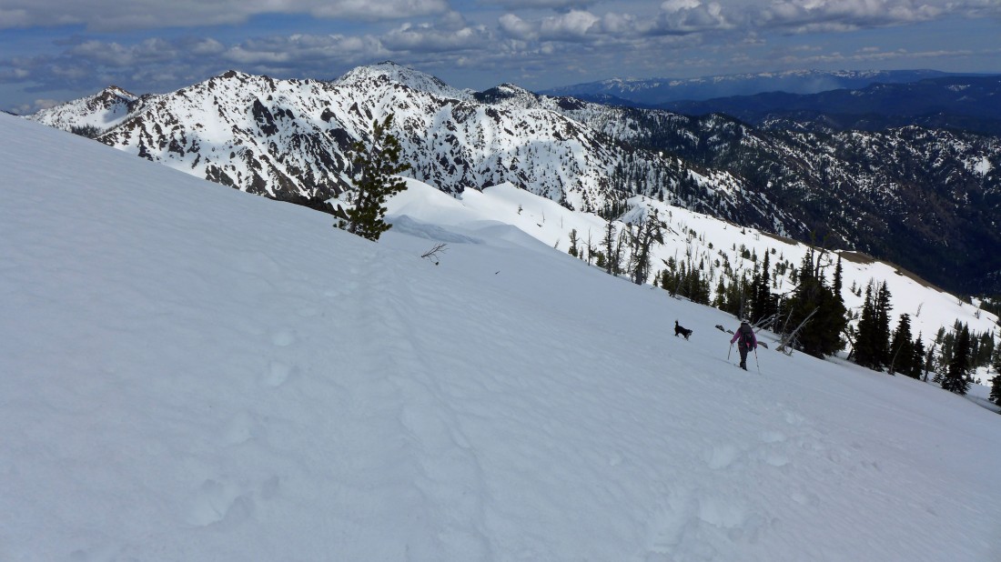
Snowdog and Izzy kicking steps on the south ridge of Iron Peak.
|
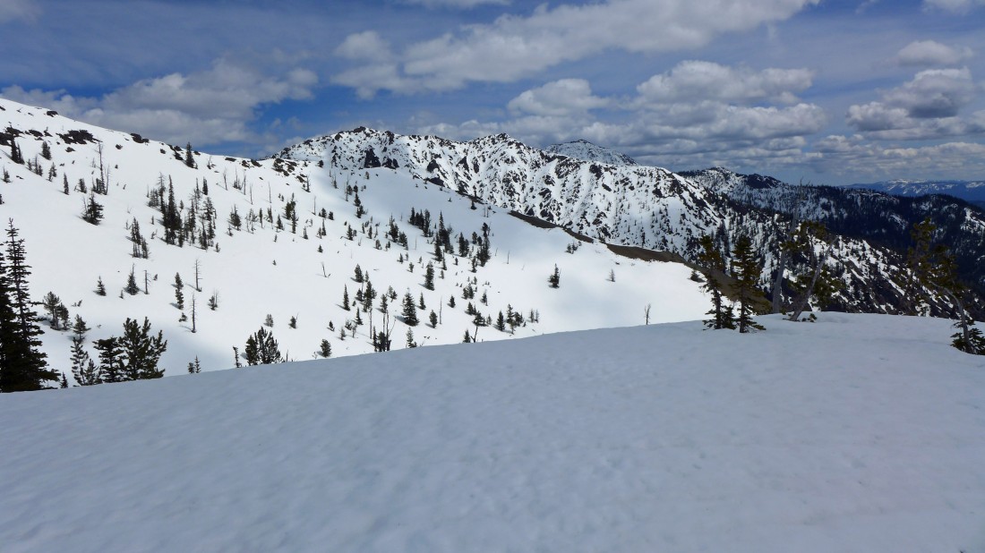
On the south ridge... looking across the SSE ridge of Iron Peak to Mary Peak and Judy Peak in the sunshine... and on over to Earl Peak in the shade.
|
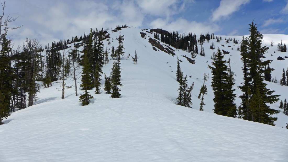
Still heading up the south ridge... getting closer to where the SSE ridge joins the south ridge.
|
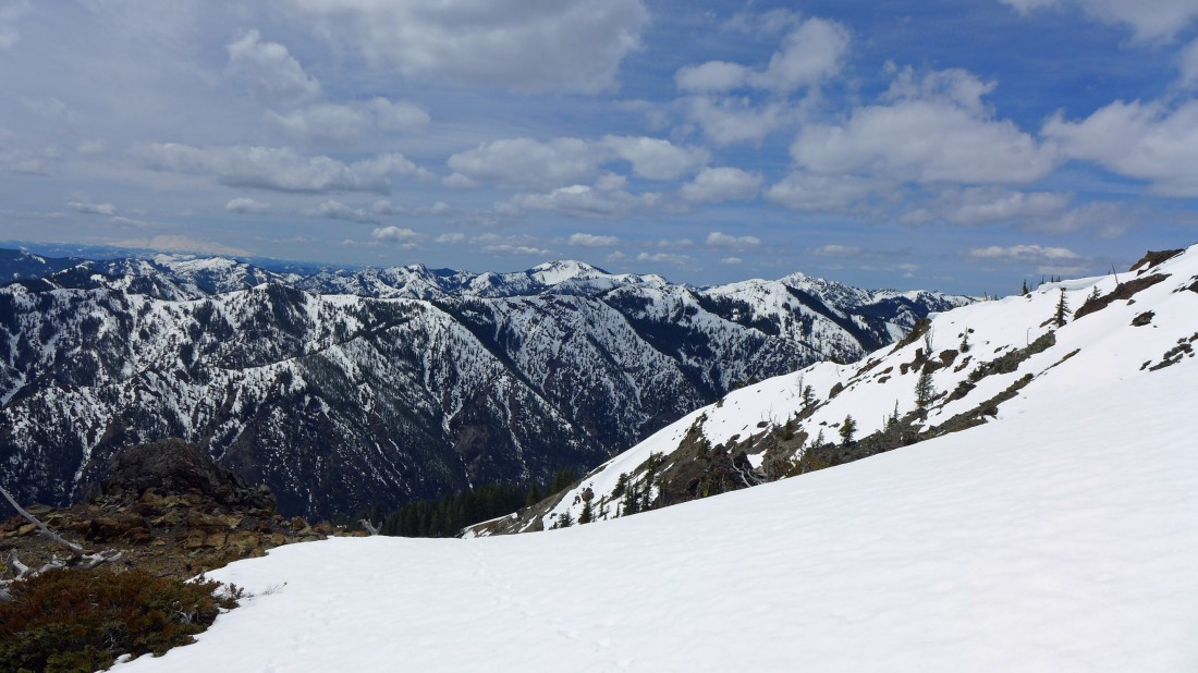
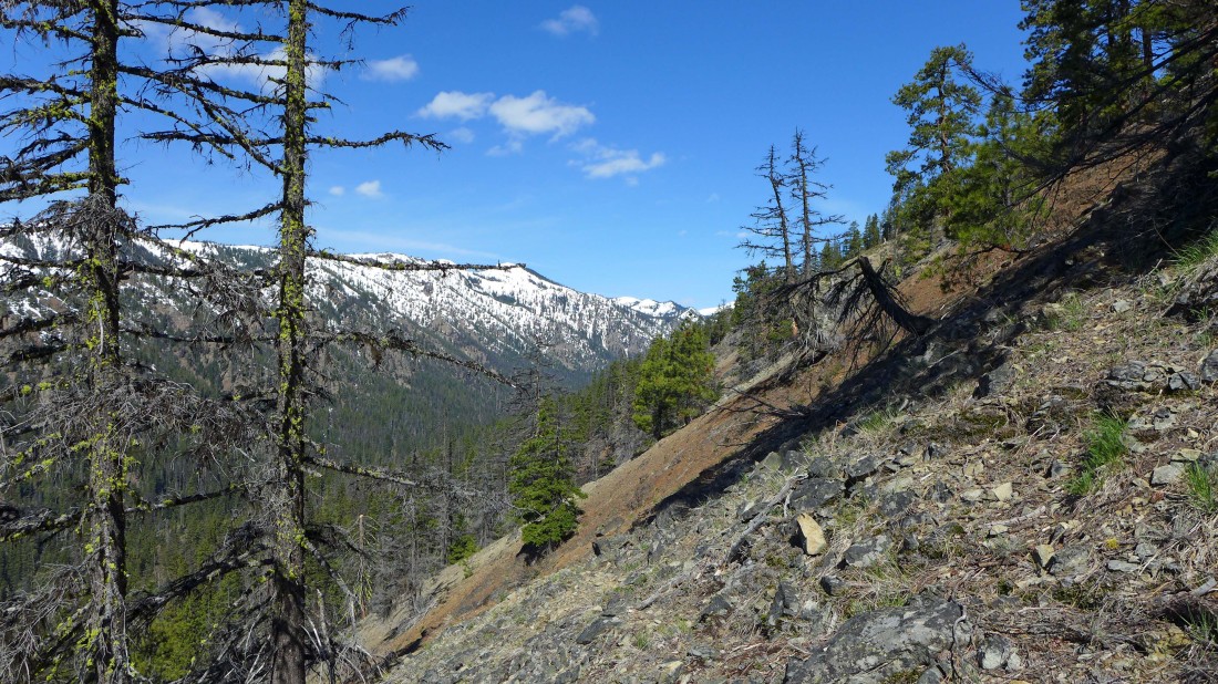
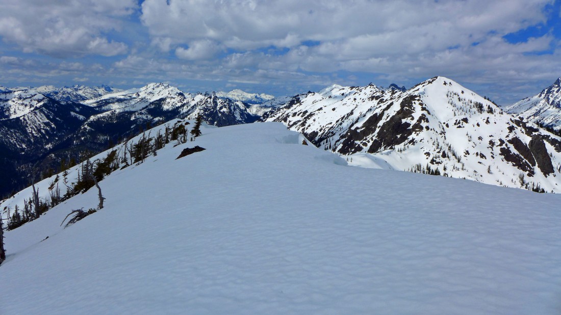
On the south ridge... looking across the N. Fork Teanaway River drainage to Jolly Mountain in the center of the photo... Mt. Rainier on the far left horizon.
|
Still on the south ridge.
|
Iron Peak's SSE ridge is in the foreground... with a shaded Mary Peak and Judy Peak just beyond the ridge... Earl Peak is in sunshine on the far right... Bean Peak and Volcanic Neck are in sunshine to the left of Mary.
|
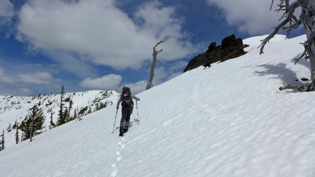
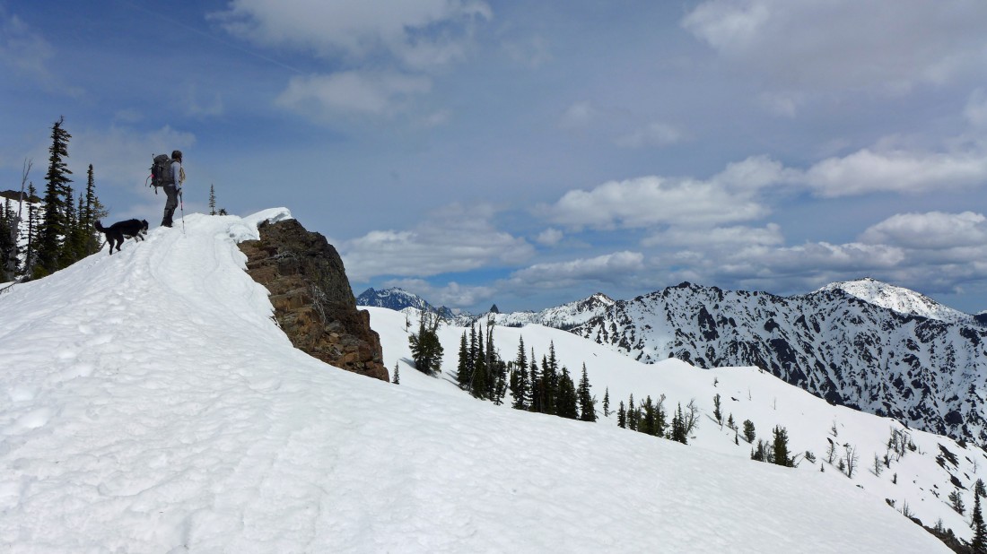
Snowdog is nearing the top of the ridge... heading directly toward the Iron Peak summit in this photo.
|
Snowdog (lower left in photo) heading for the Iron Peak summit... with Bill Peak in the right foreground... beyond Bill are Sherpa Peak, Argonaut Peak, Colchuck Peak and Dragontail Peak on the horizon.
|
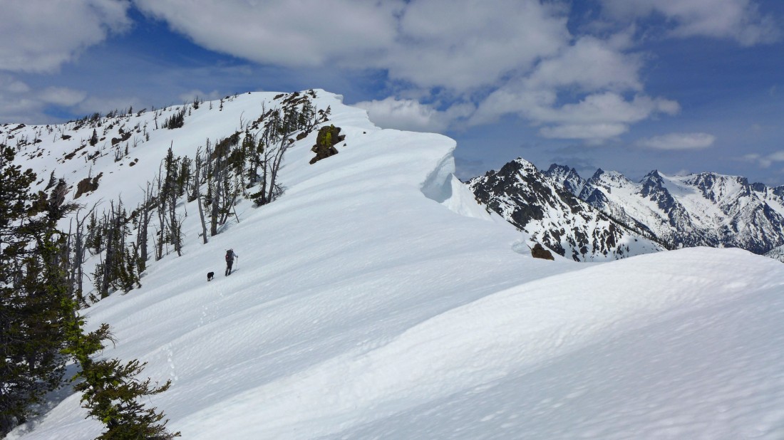
Giving lots of respect to the cornices on Iron Peak.
|
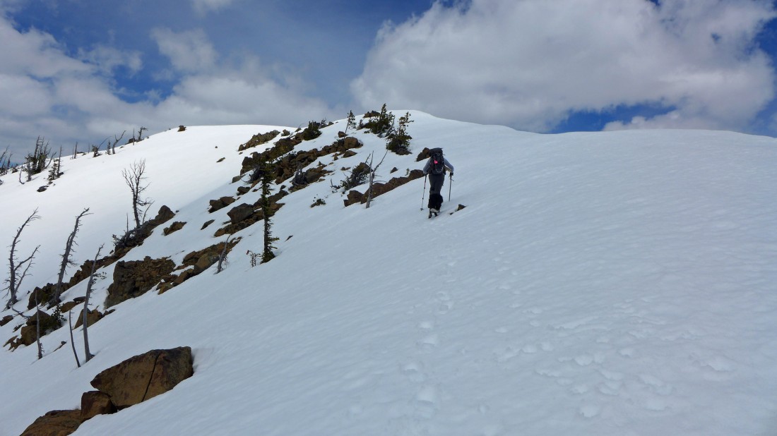
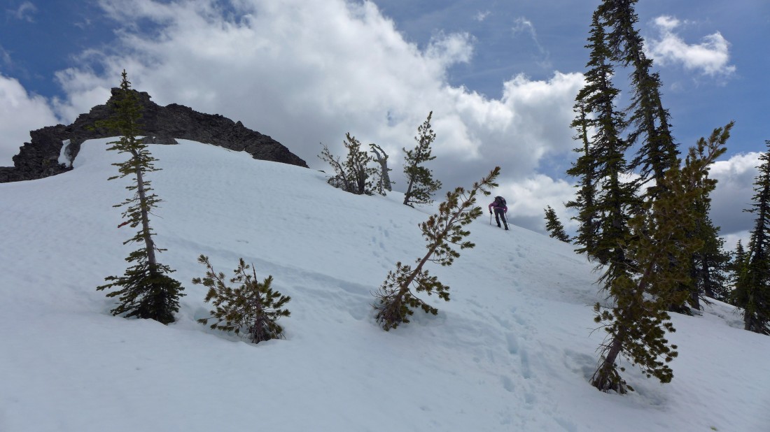
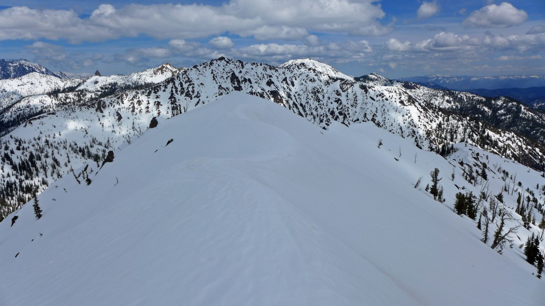
Getting closer to the summit of Iron Peak.
|
So close now.
|
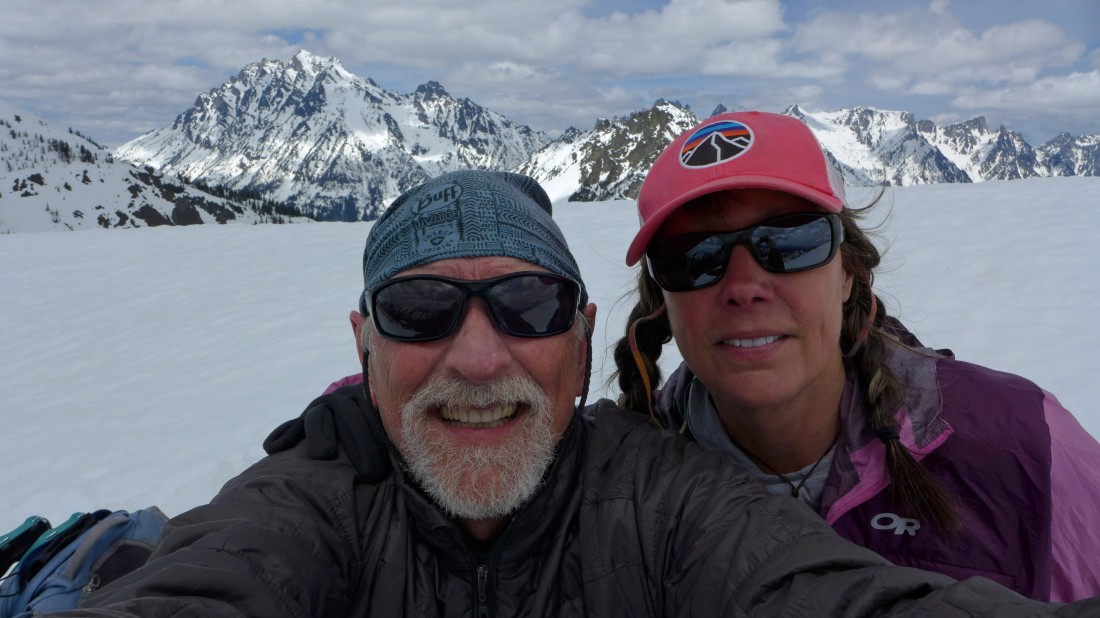
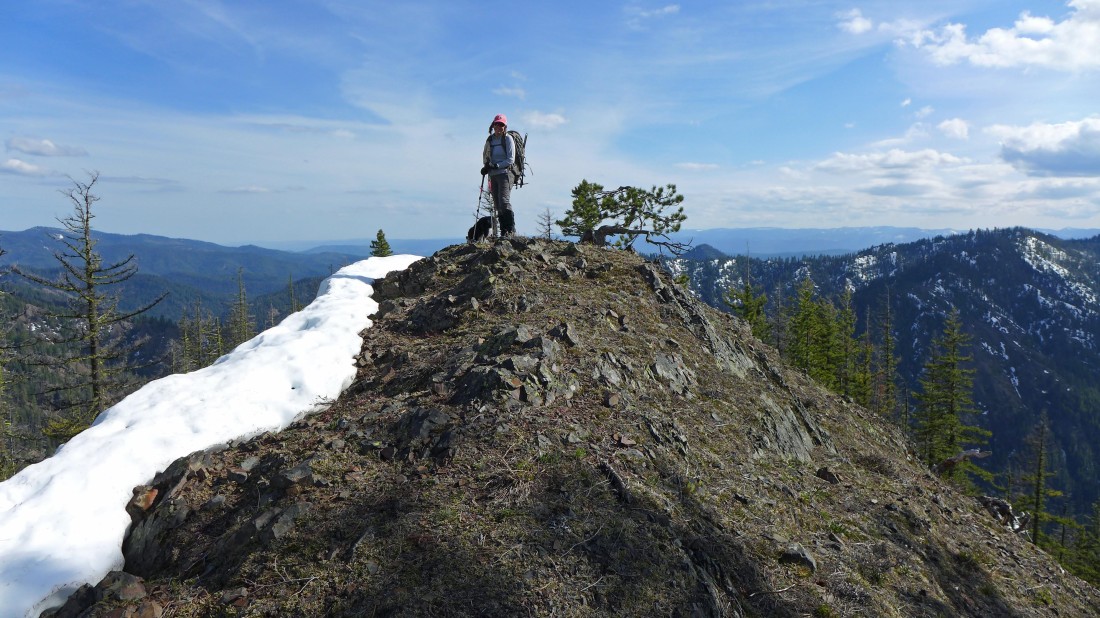
A selfie from the summit (6510') of Iron Peak... with the Stuart Range behind us.
|
Bill Peak in the foreground... with the Stuart Range beyond... left-to right... Stuart, Sherpa, the tippy-top of Argonaut beyond Bill... then Colchuck, Dragontail, Little Annapurna and McClellan.
|
Looking down the north ridge of Iron to Teanaway Peak on the right... Esmeralda and Hawkins are left-center foreground... Mt. Daniel in the sunshine in the center horizon.
|
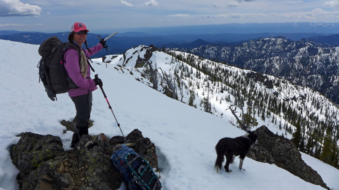
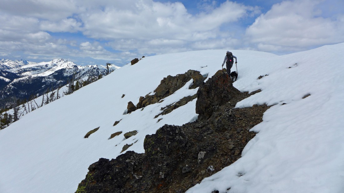
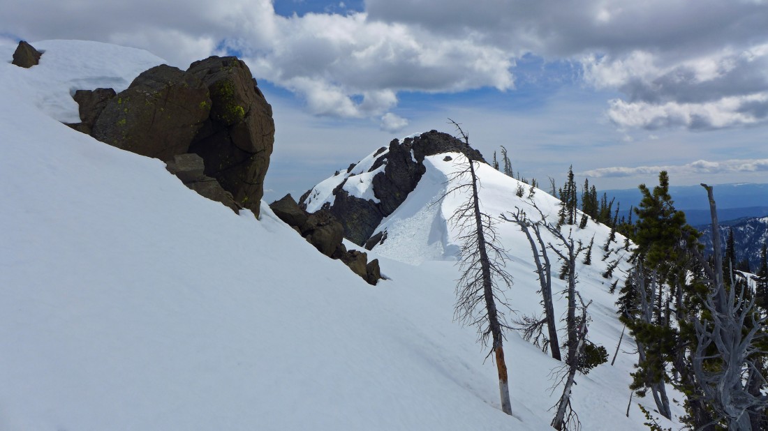
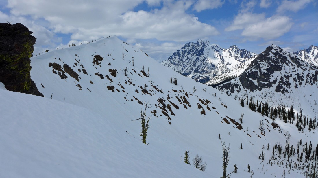
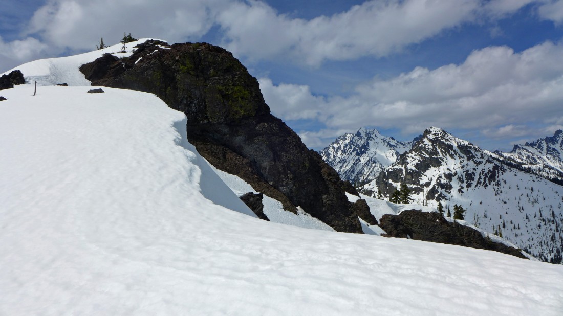
Leaving the Iron Peak summit... we will head back the way we came until we reach the rock outcropping that Snowdog is pointing to... then we will go back down via the SSE ridge.
|
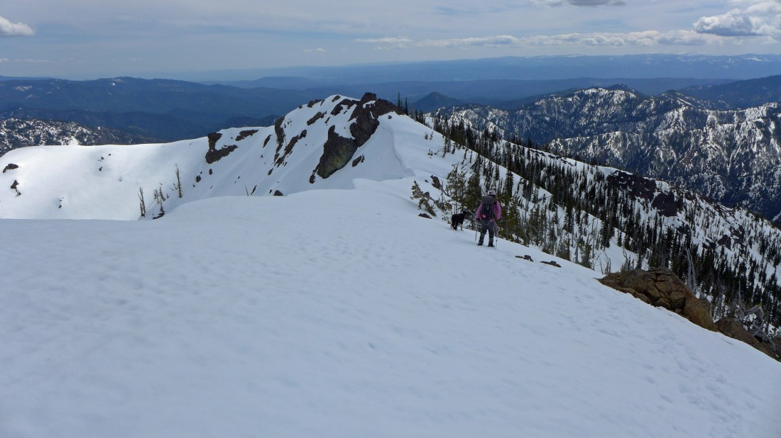
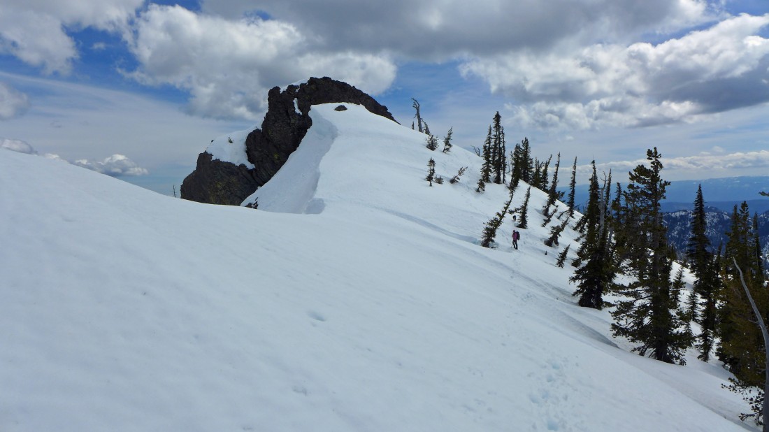
Heading toward the large rock outcropping in the center of the photo... then we will use the SSE ridge (in the sunshine) to head down.
|
Snowdog heads for the large rock outcropping.
|
We will go around the large rock outcropping to the right and hook up with the SSE ridge.
|
Snowdog and Izzy below the large rock outcropping.
|
Working around the large rock outcropping.
|
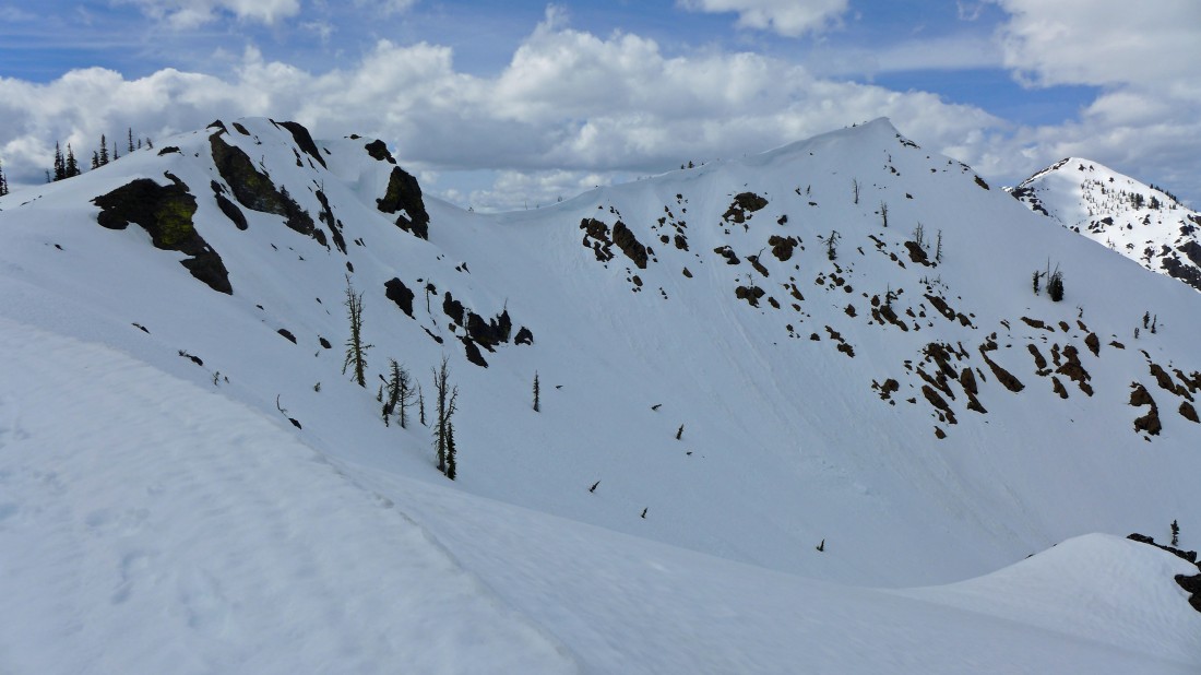
We have rounded the large rock outcropping... Snowdog and Izzy are heading straight down while I follow the SSE ridge... we will meet up over on the melted out part of the ridge on the far right.
|
On the SSE ridge... looking back at Iron Peak in the left foreground... with Stuart, Sherpa and Bill on the right.
|
On the SSE ridge of Iron Peak... heading directly toward Mary Peak and Judy Peak on the shaded ridge... with Earl Peak in the sunshine beyond Judy on the right... Devils Head, Volcanic Neck and Bean Peak are in the sunshine to the left of Mary Peak.
|
Continuing down Iron's SSE ridge... looking back at Iron Peak in the right foreground... and the large rock outcropping on the left... Teanaway Peak is in the sunshine on the far right.
|
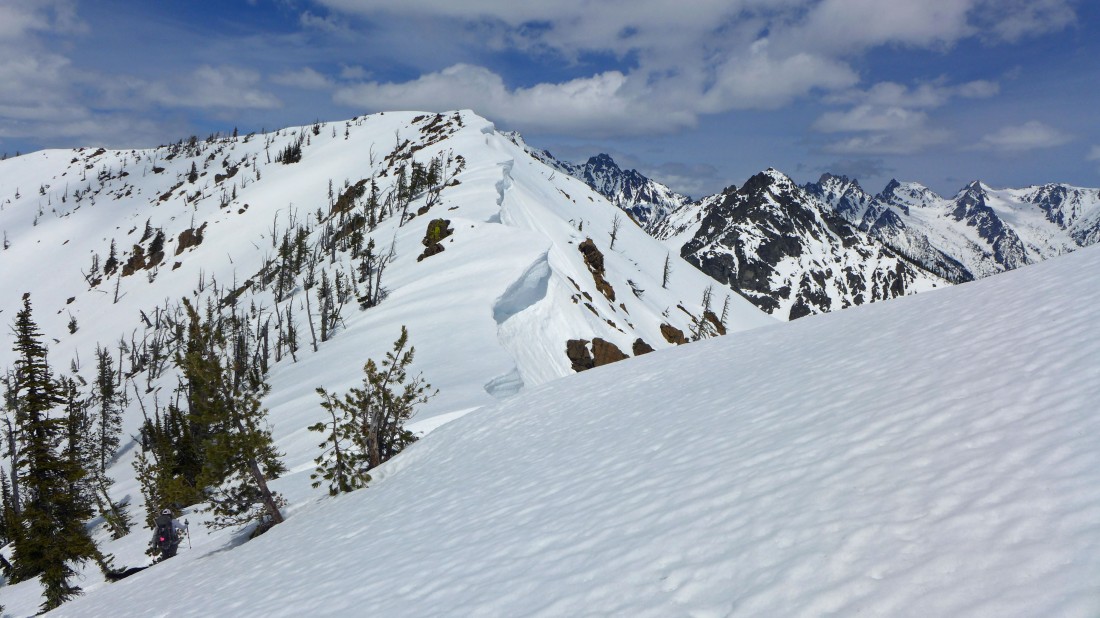
Respecting the cornices on the SSE ridge of Iron Peak.
|
Looking back at my route along the SSE ridge of Iron Peak... Iron Peak is in the center of the photo... with Teanaway Peak on the right.
|
On the SSE ridge of Iron Peak... with Mt. Stuart and Bill Peak in the distance.
|
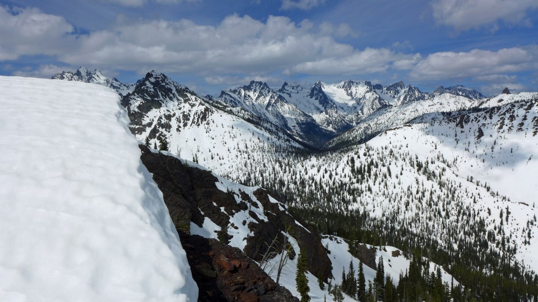
Most of the Stuart Range from the SSE ridge of Iron Peak.
|
Heading for the melted out part of Iron's SSE ridge.
|
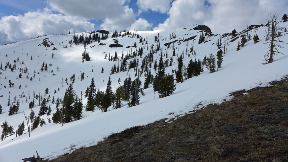
Looking back at my route along the SSE ridge... we came up via the south ridge on the far left.
|
Continuing down the SSE ridge... with the south ridge on the left... skiers had recently been skiing the bowl between the two ridges.
|

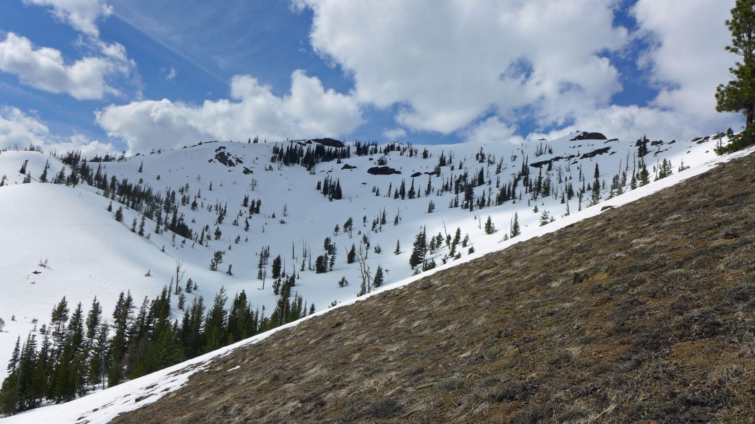
Continuing down the SSE ridge... looking back at our route.
|
A reasonable path along the SSE ridge... but very tiring at the end of the day.
|
We are ready to get off of the snow.
|
Snowdog and Izzy on Point 4747 along the SSE ridge of Iron Peak.
|
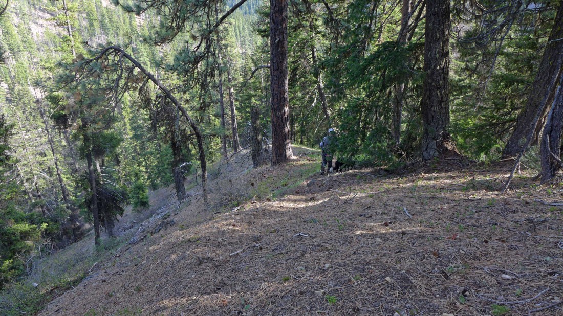
Nearing the end of our hike along the SSE ridge... only 500 feet above the road now... on a very good path now.
|
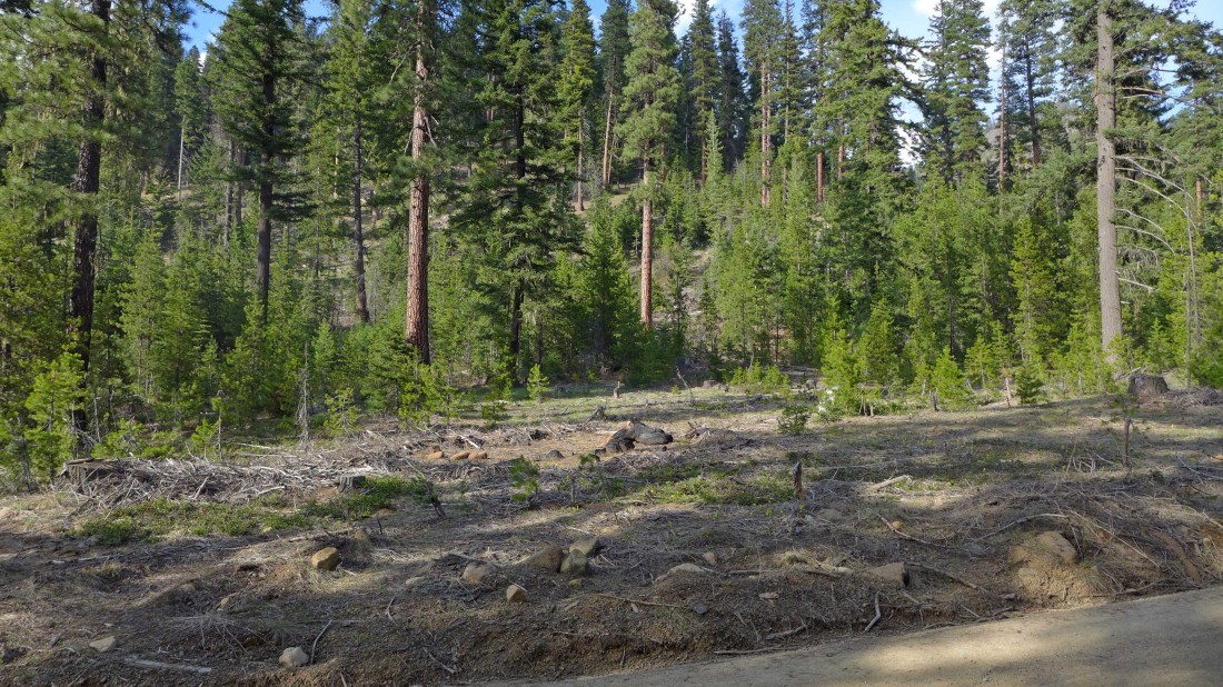
Back on FS-9737... leaving a 1.5 mile road walk to get back to our car... where we will close our loop hike... 8.7 miles roundtrip, gaining 3675 feet of elevation.
|
