Longsway Peak - 6.2.2017
|
FS-9737 was closed at the Iron Peak Trailhead... leaving a 1.1 mile road walk to the trailhead... our hike today was 7.8 miles roundtrip, gaining 3106 feet of elevation.
|
The road is really in quite good shape... a little rough just before the parking lot, but very driveable by all vehicles.
|
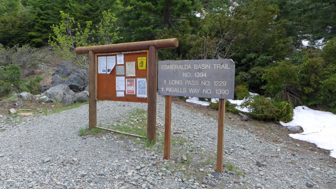
Heading up the Esmeralda Basin Trail.
|
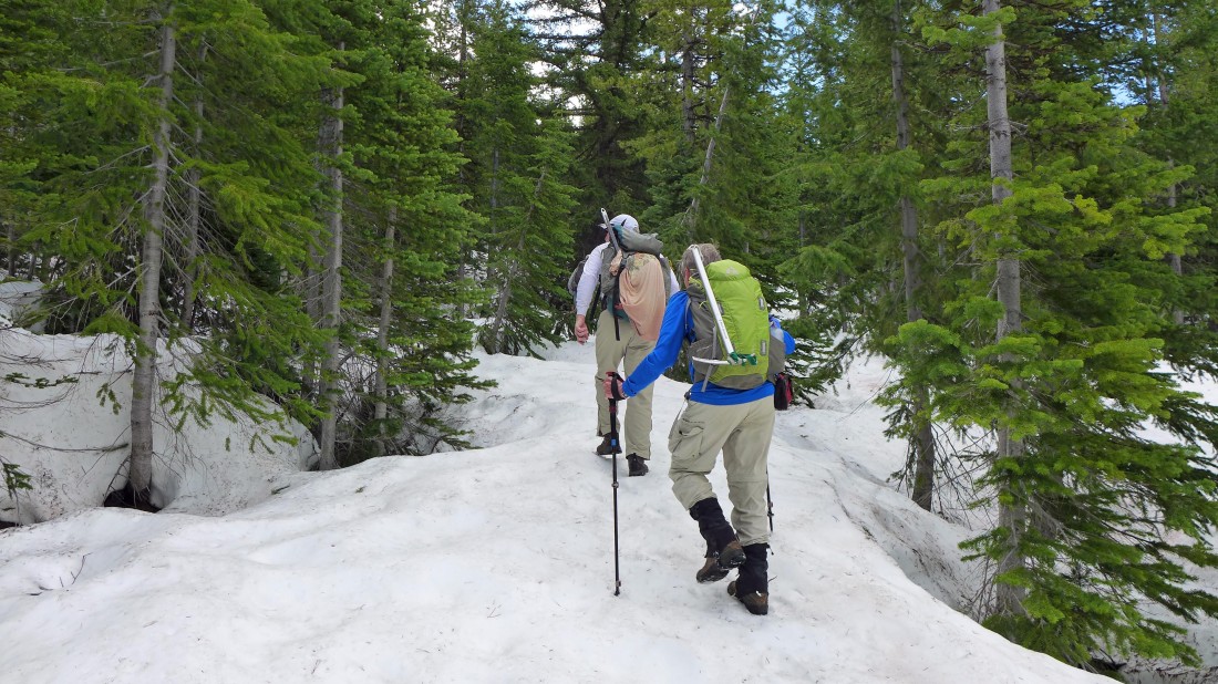
After hiking a quarter mile or so we turned right onto the unsigned Ingalls Way Trail... which quickly turned into a snow-covered trail.
|
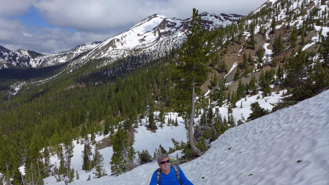
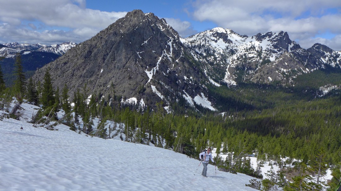
Making our own trail as we climb toward Longs Pass... Fortune Peak in the center of the photo.
|
Here comes Snowdog... with the multiple summits of Esmeralda Peaks in the background... Hawkins Thimble on the far right.
|
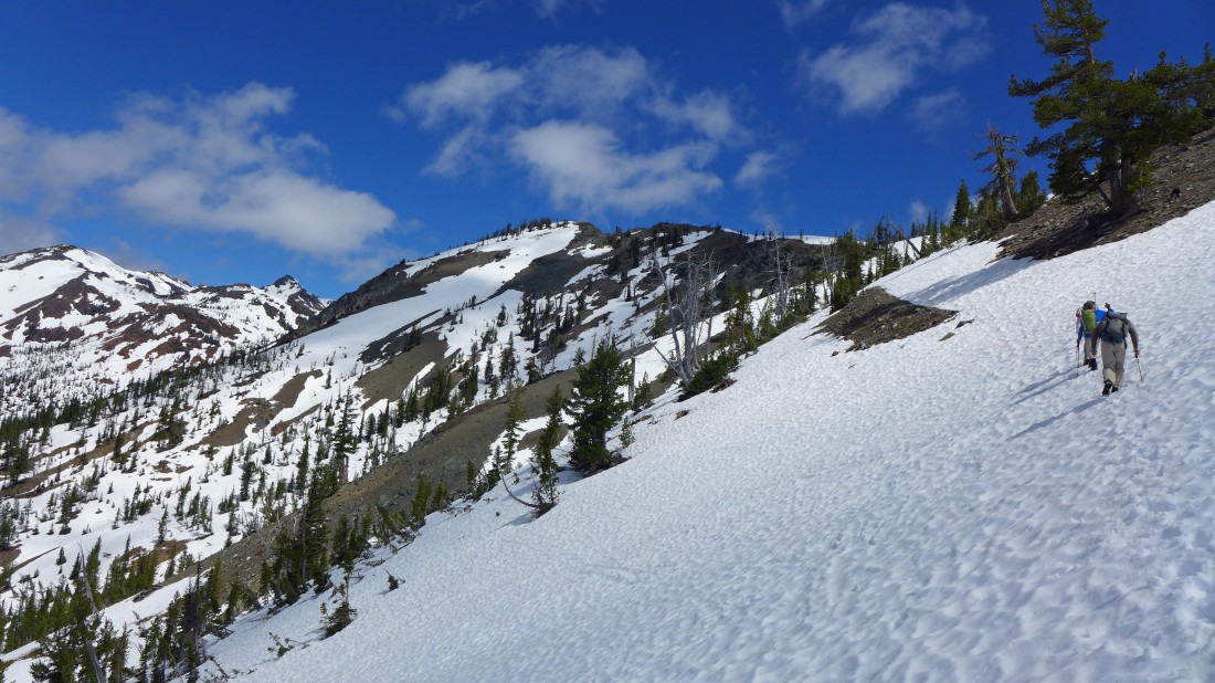
Heading for Longs Pass.
|
Esmeralda Peaks from near Longs Pass.
|
Arriving at Longs Pass... with 'Not Hinkhouse' Peak on the far right... and Ingalls Peak through the gap.
|
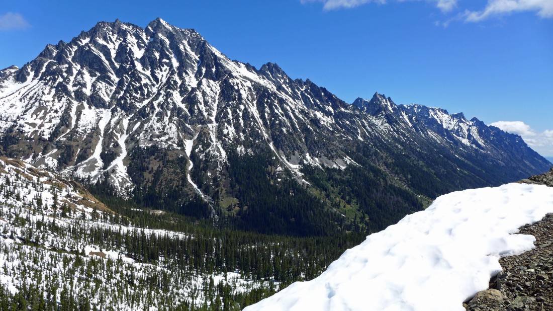
The Stuart Range from Longs Pass.
|
Hiking south along the ridge from Longs Pass... looking at Bills Peak on the right... with Three Brothers and Navaho Peak in the center of the photo.
|

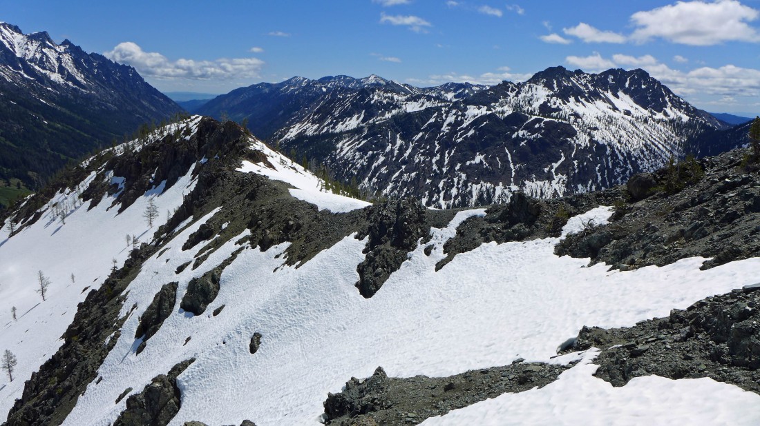
Continuing south from Longs Pass... on the ridge that runs over to Teanaway Peak on the left.
|
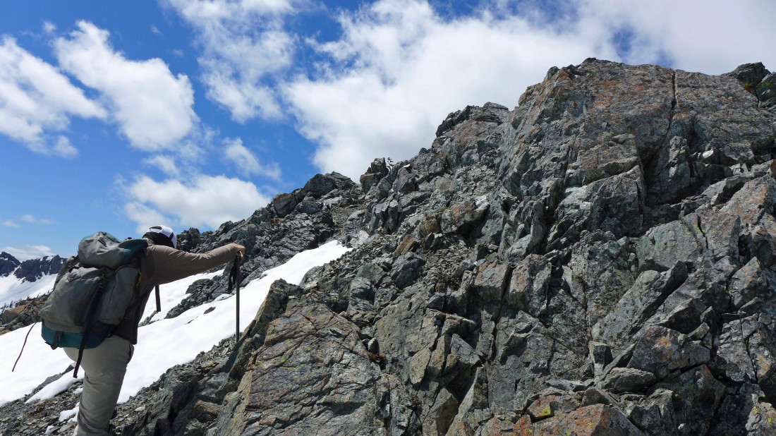
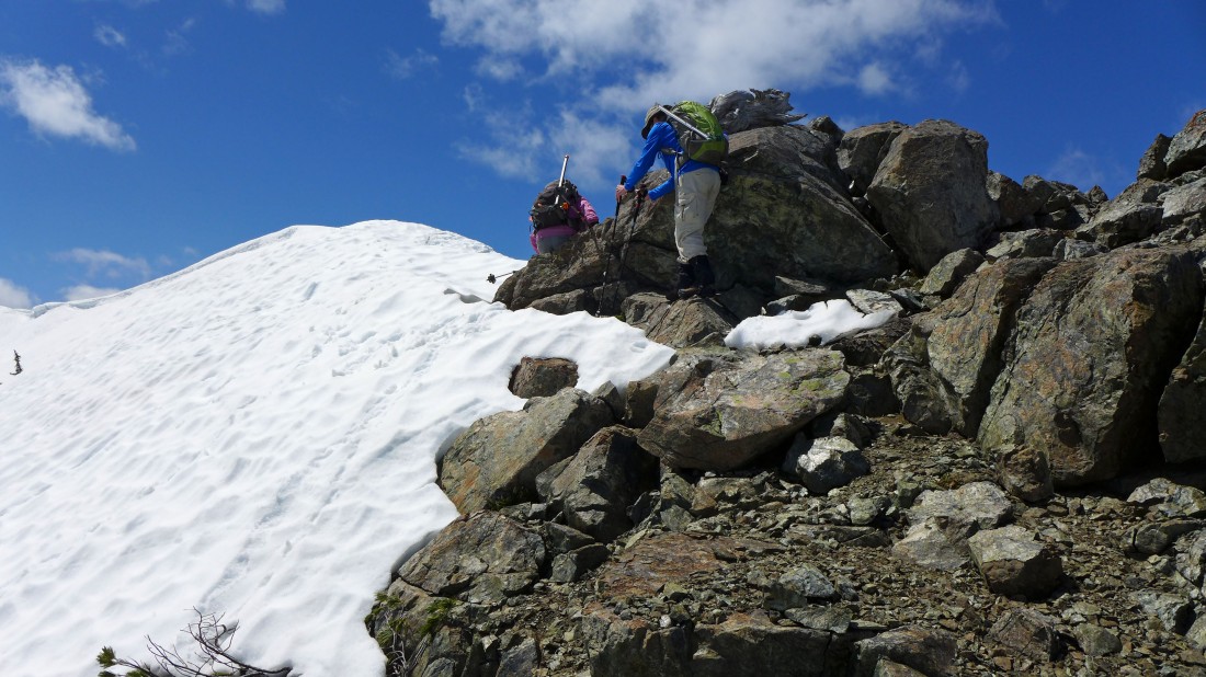
Some easy scrambling on the ridge when the snow is melted.
|
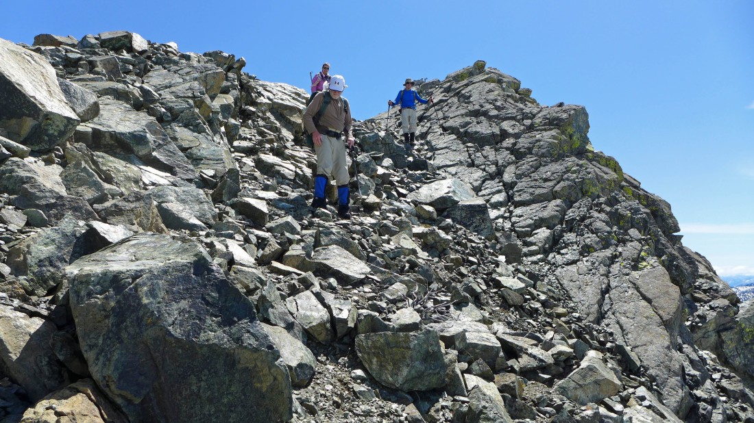
rocman leads the way along the ridge.
|
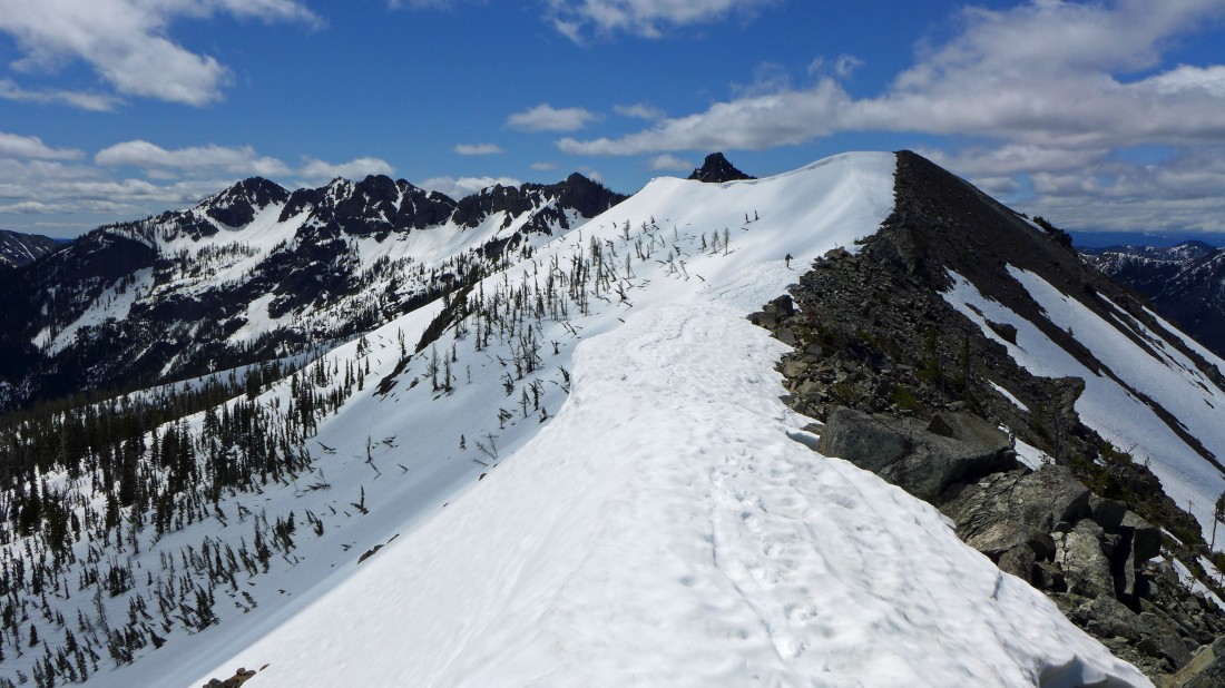
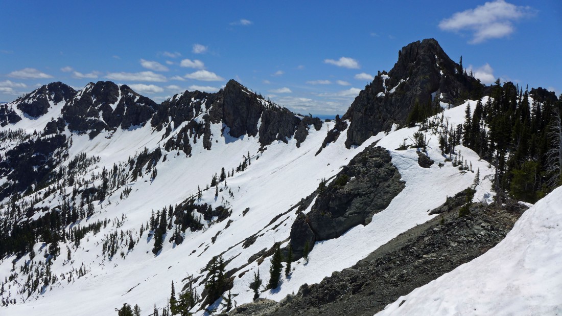
Several ups and downs along the ridge.
|
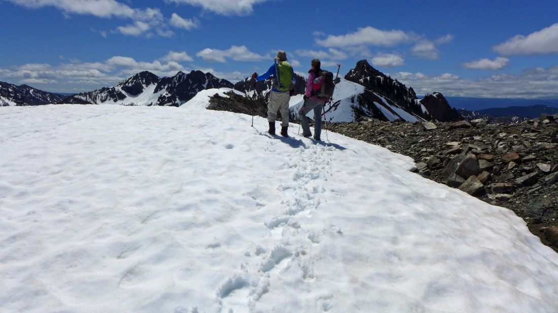
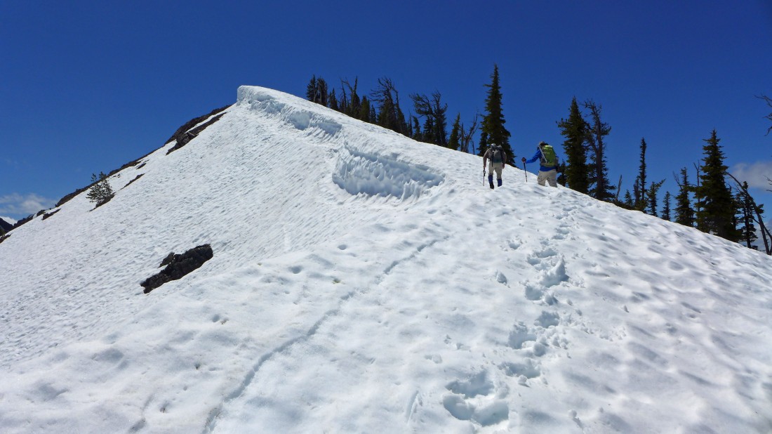
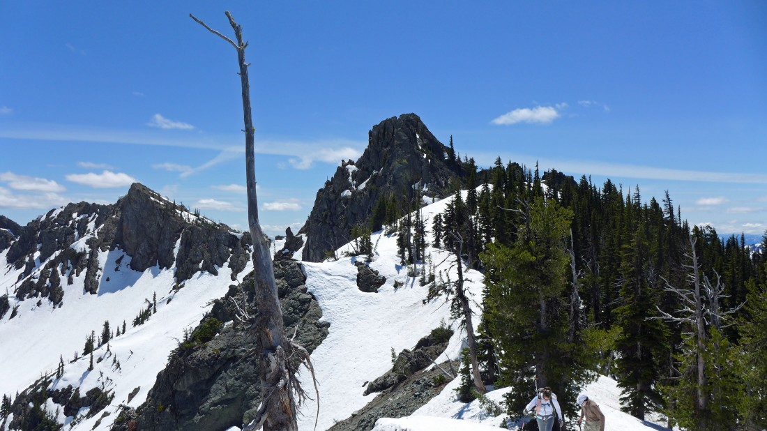
Our destination is the snowy pyramid just to the right of Snowdog's ice axe... Teanaway Peak is on the left.
|
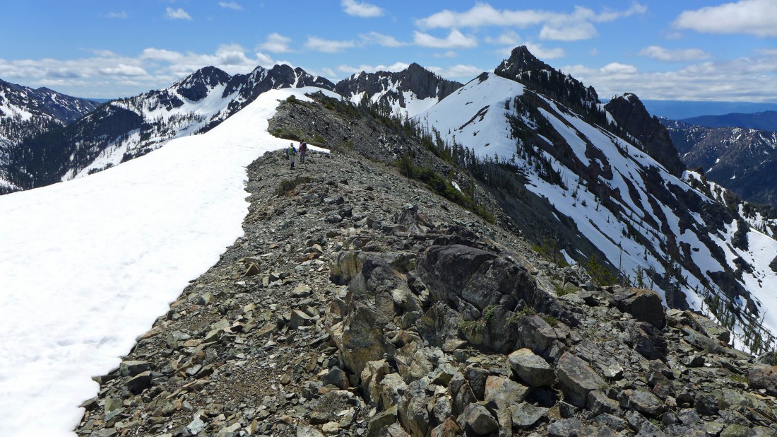
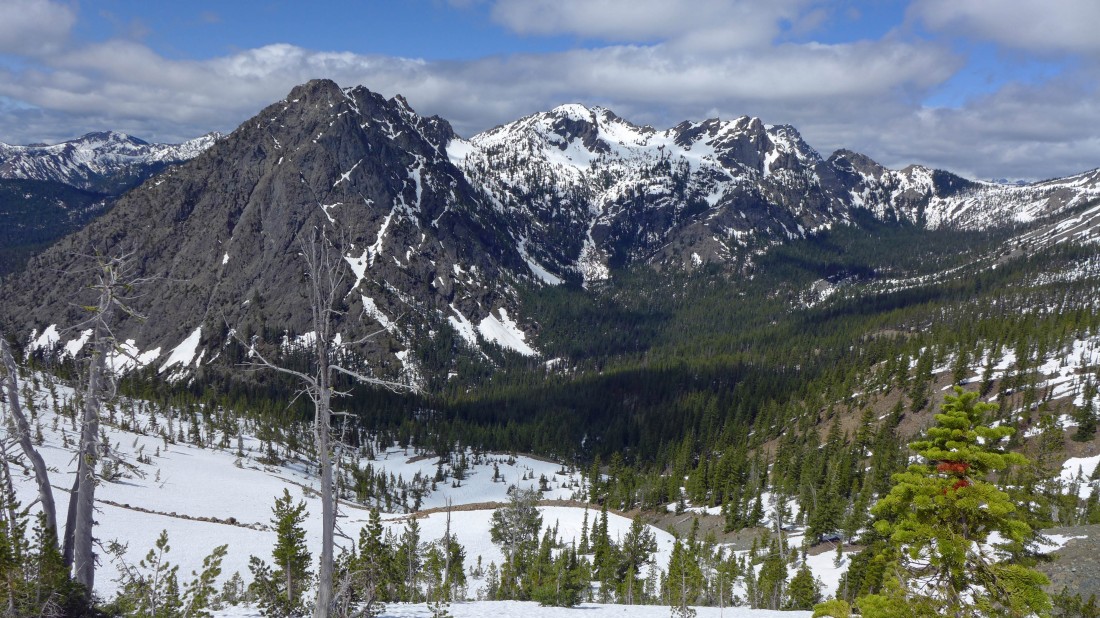
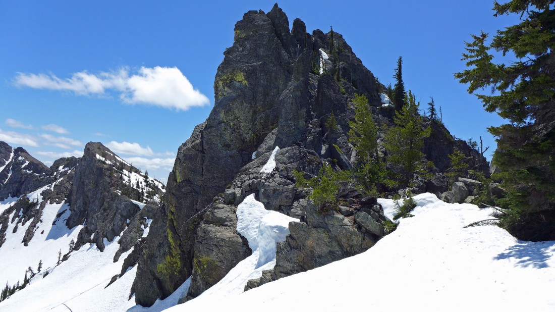
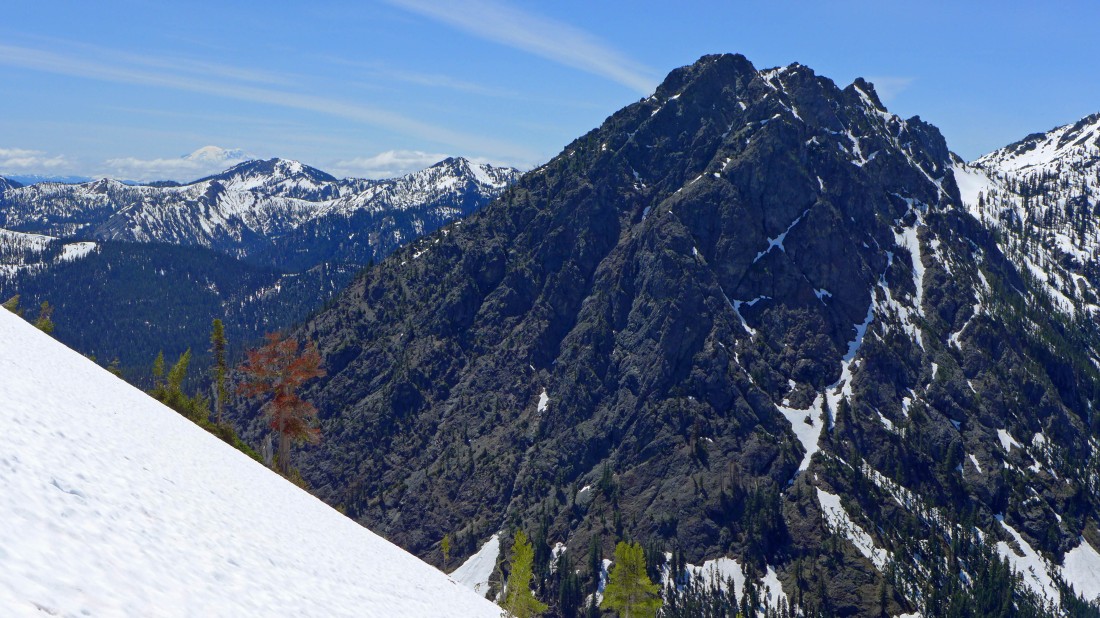
A closer look at Point 6494 (aka Longsway Peak)... the snowy pyramid in the right foreground.
|
Here comes Snowdog... nearing the summit of Longsway Peak... Fortune and the 3 summits of Ingalls on the left... 'Not Hinkhouse' Peak in the foreground... with Mt. Stuart on the right.
|
rocman and rodman near the summit (6494') of Longsway Peak.
|
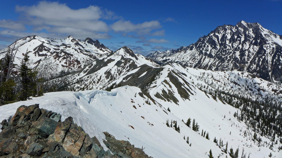
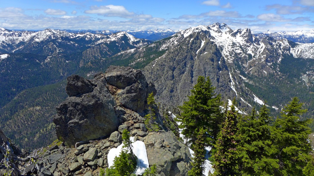
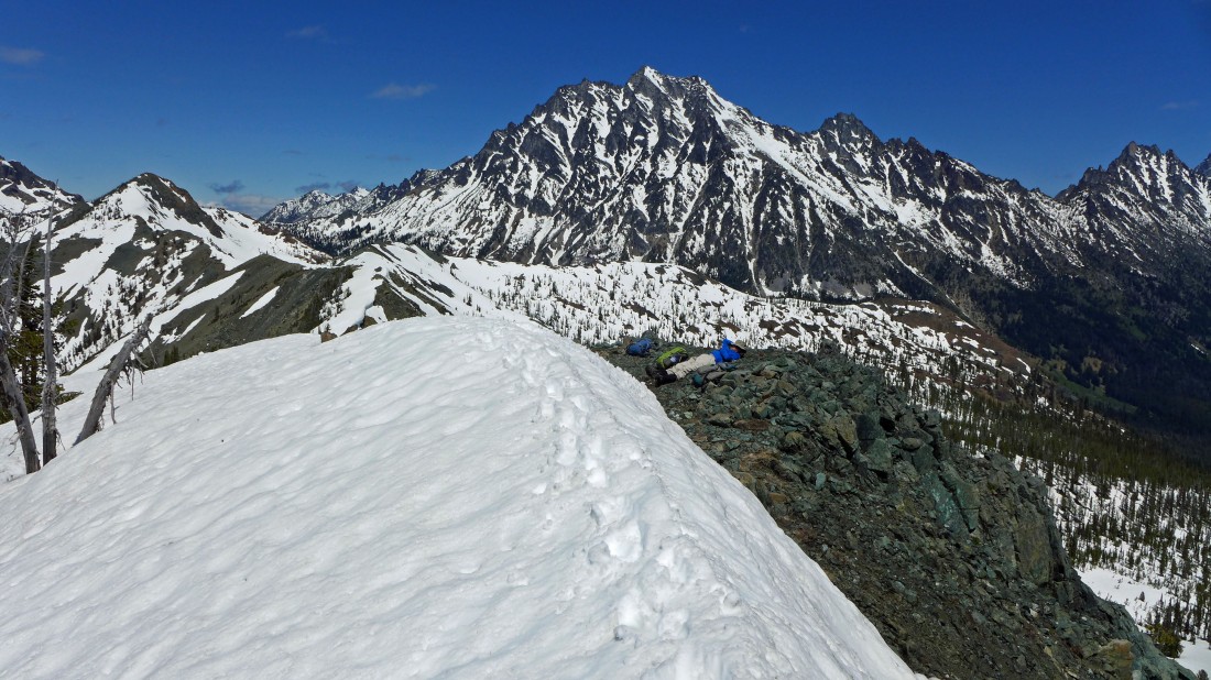
A nice view from the summit of Longsway Peak.
|
The Stuart Range from Longsway Peak.
|
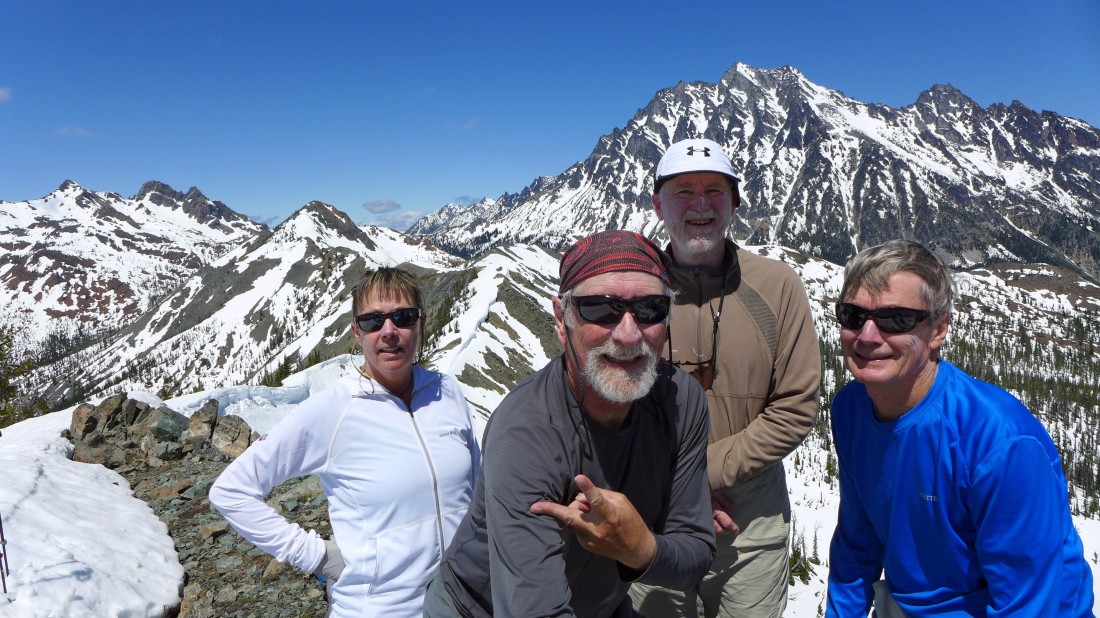
Gotta take a selfie on Longsway Peak... Snowdog, me, rocman and rodman.
|
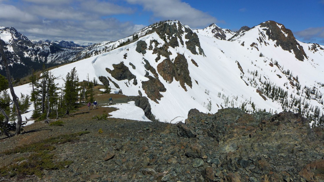
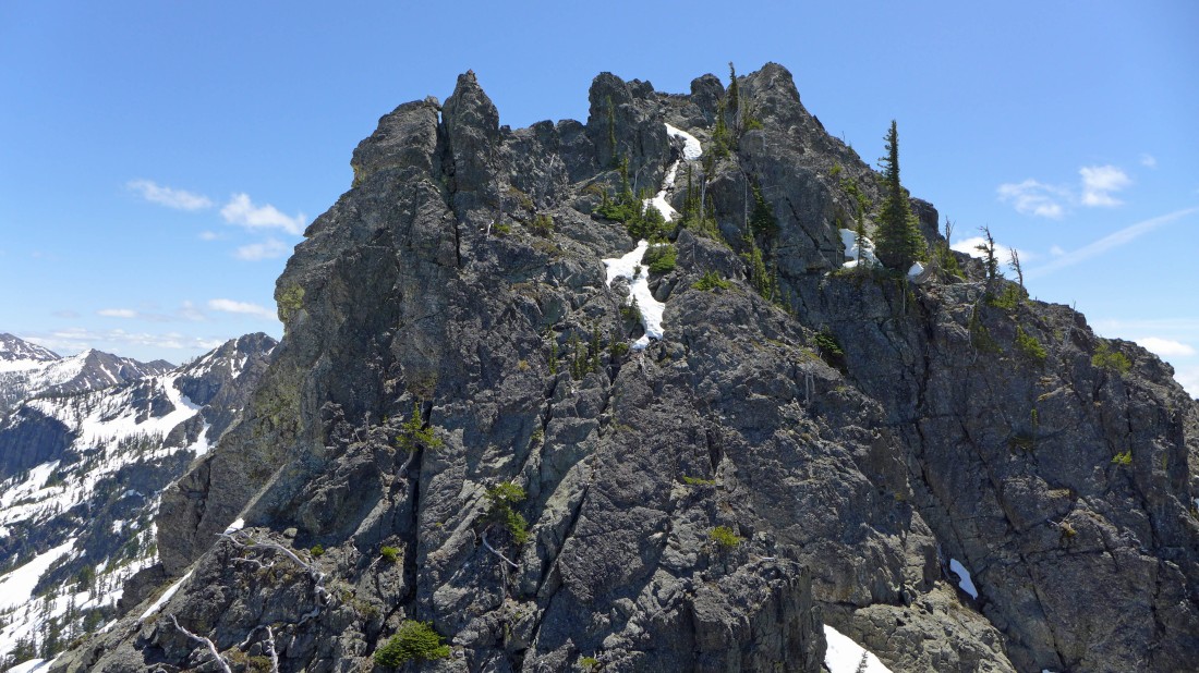
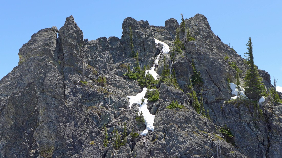
It is still early in the day so we will continue along the ridge and check out the huge rock outcropping on the right.
|
Getting closer to the rugged looking rock outcropping.
|
I found a nice perch where I can watch rocman try and summit the gnarly looking summit in the previous photo.... Esmeralda Peaks on the right... with The Louvre and DeRoux Peak on the left.
|
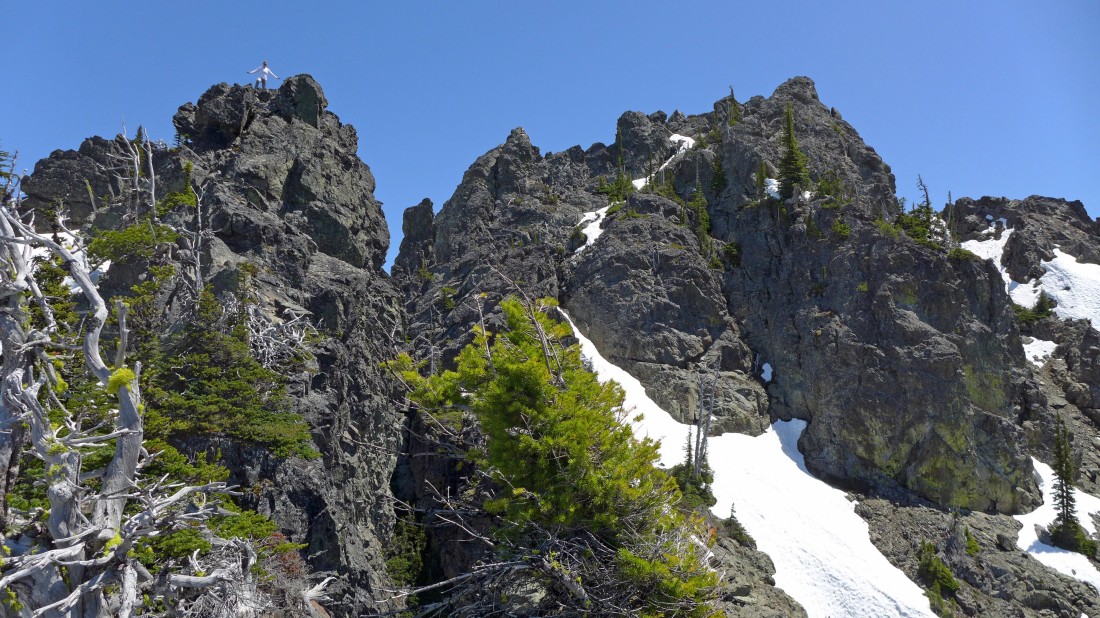
rocman is just under the summit.
|
rocman's clothing kind of blend in with the rock... but I can easily pick out his blue gaitors on the pinacle on the right.
|
Snowdog found a pretty nice perch also.
|
Returning to Longsway Peak... looking back at the rock outcropping.
|
We found rodman taking a nap on the summit of Longsway Peak... Stuart, Sherpa and Argonaut from center to right... with 'Not Hinkhouse' Peak in the left foreground.
|
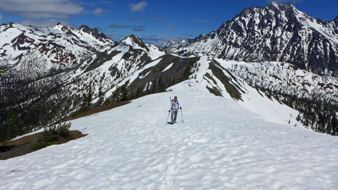
Instead of going back to Longs Pass, we found a reasonable spot to leave the ridge and start dropping down toward Esmeralda Basin.
|

Heading down.
|
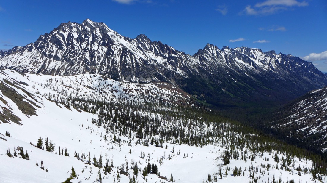
On steep terrain... but the snow is very forgiving... the east end of Esmeralda Peaks on the right... with Mt. Rainier behind Jolly Mountain on the left.
|

Almost off of the steep terrain and back down to Esmeralda Basin.
|
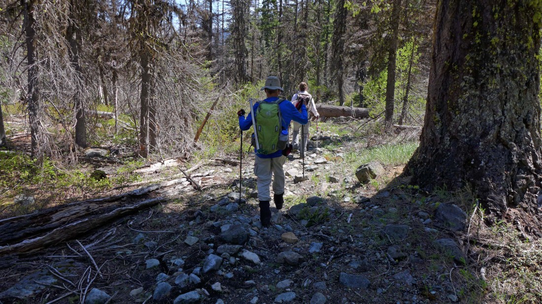
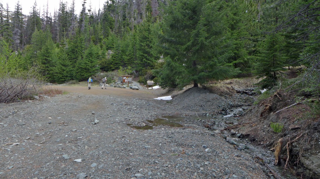
When we got back down to the Esmeralda Basin Trailhead we decided to take the seldom used North Fork Teanaway Trail #1358 back to the car... however, the trail was in such lousy condition that we returned to the road after hiking the trail for a third of a mile... our total trip was 7.8 miles, gaining 3106 feet of elevation.
|
