Lake Ingalls and Stuart Pass Hill - 6.19.2017
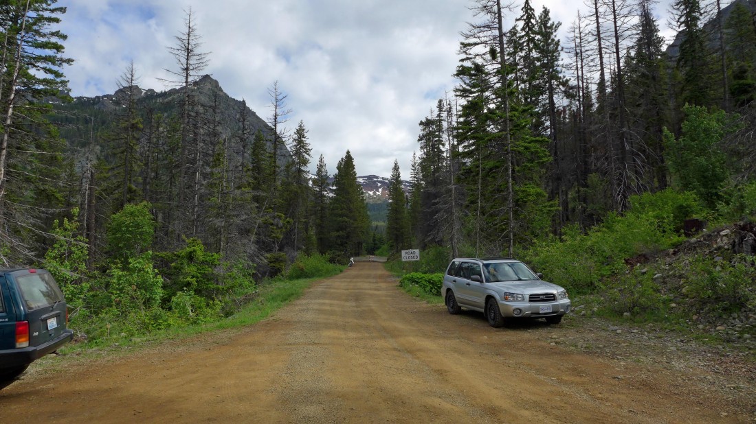
FS-9737 was closed at the Iron Peak Trailhead... leaving a 1.1 mile road walk to the trailhead... our hike today was 13.2 miles roundtrip, gaining 3849 feet of elevation.
|
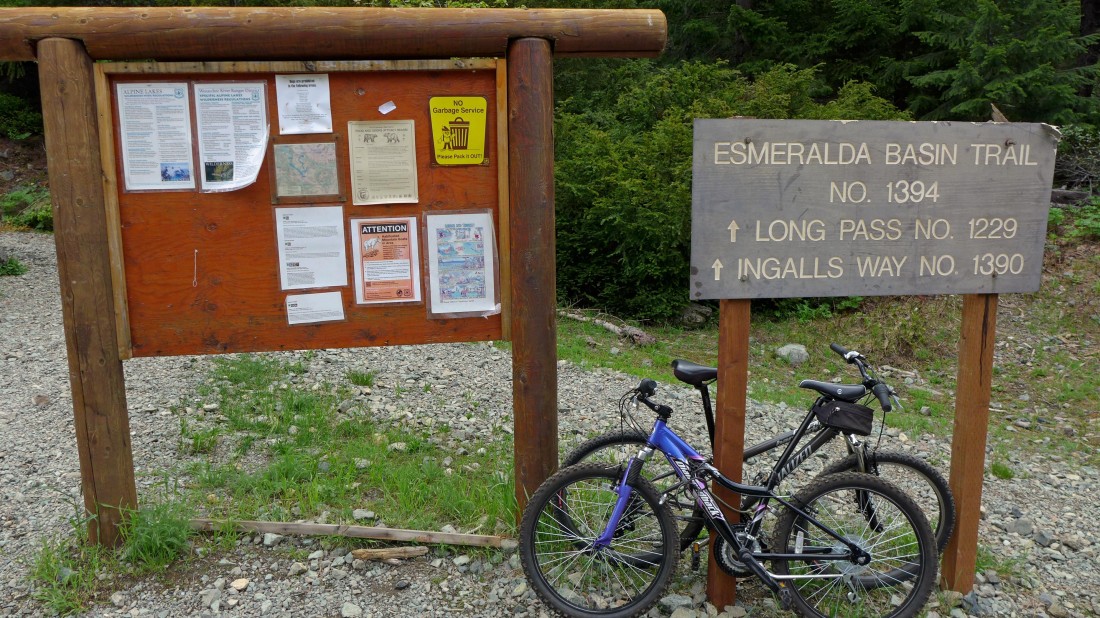
The Esmeralda Basin Trailhead after hiking the road for 1.1 miles.
|
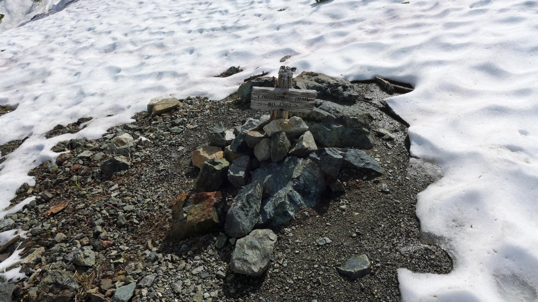
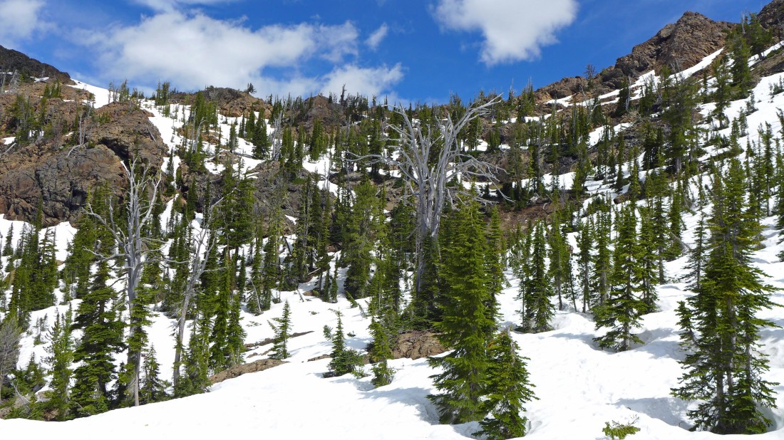
We are on the Ingalls Way Trail as we bypass the junction with the Longs Pass Trail.
|
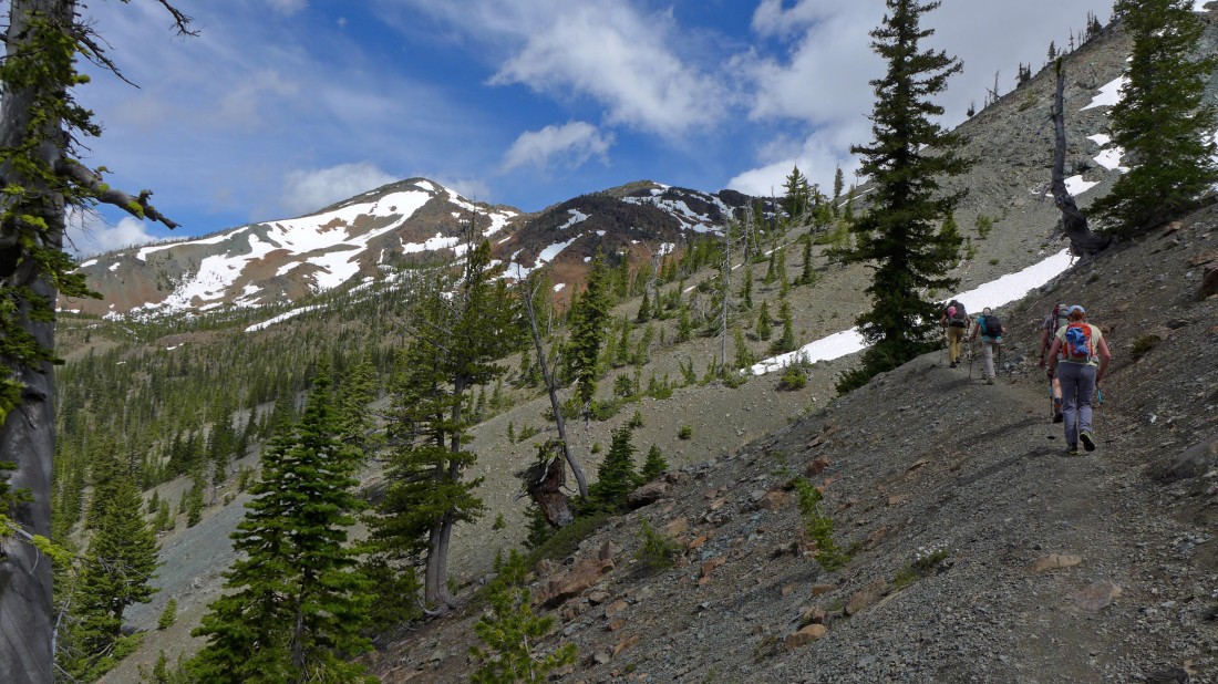
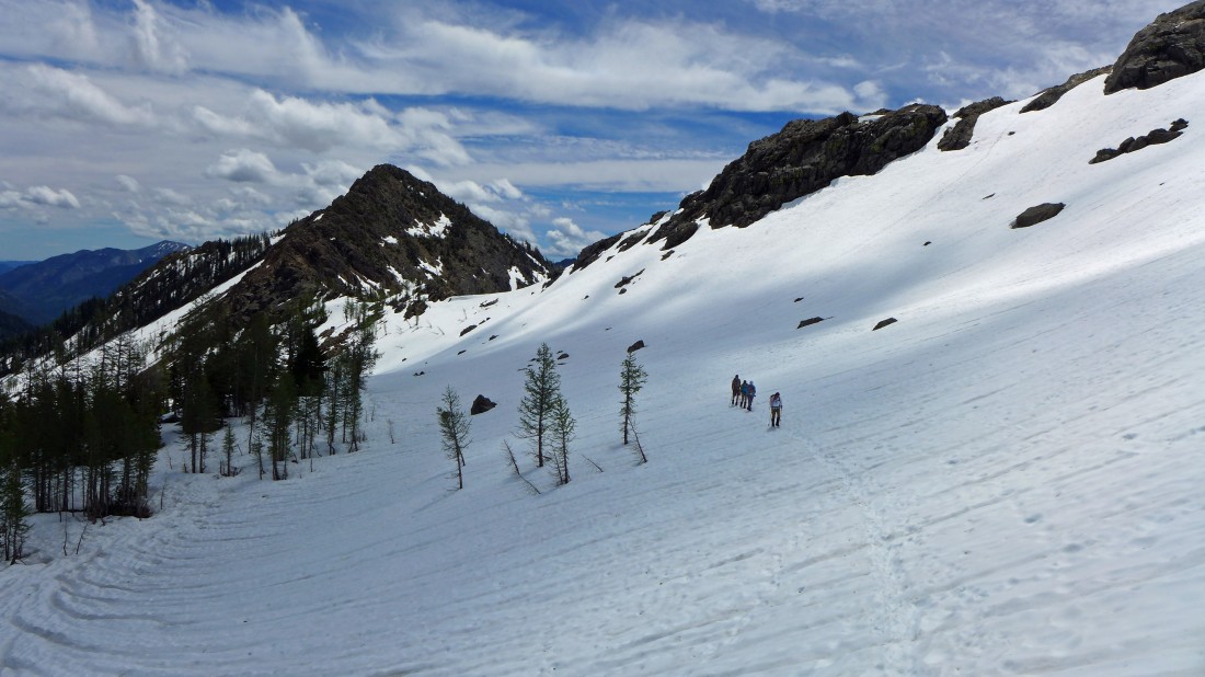
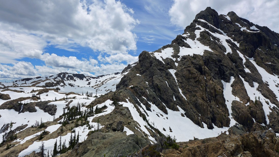
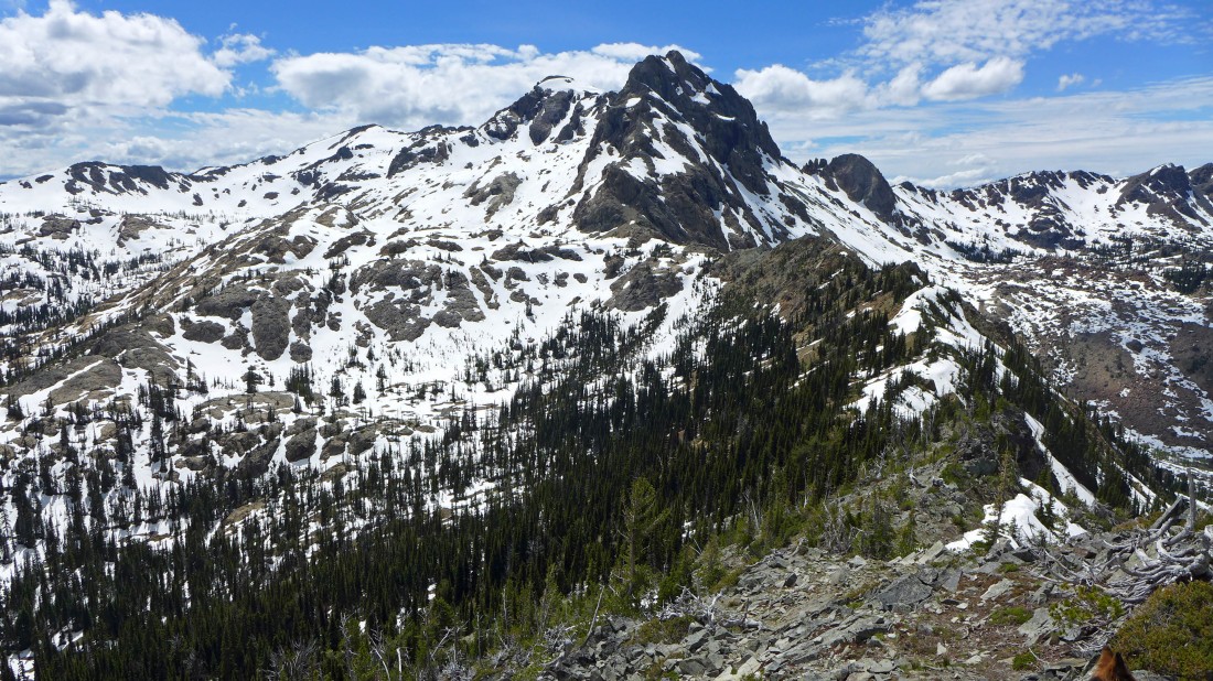
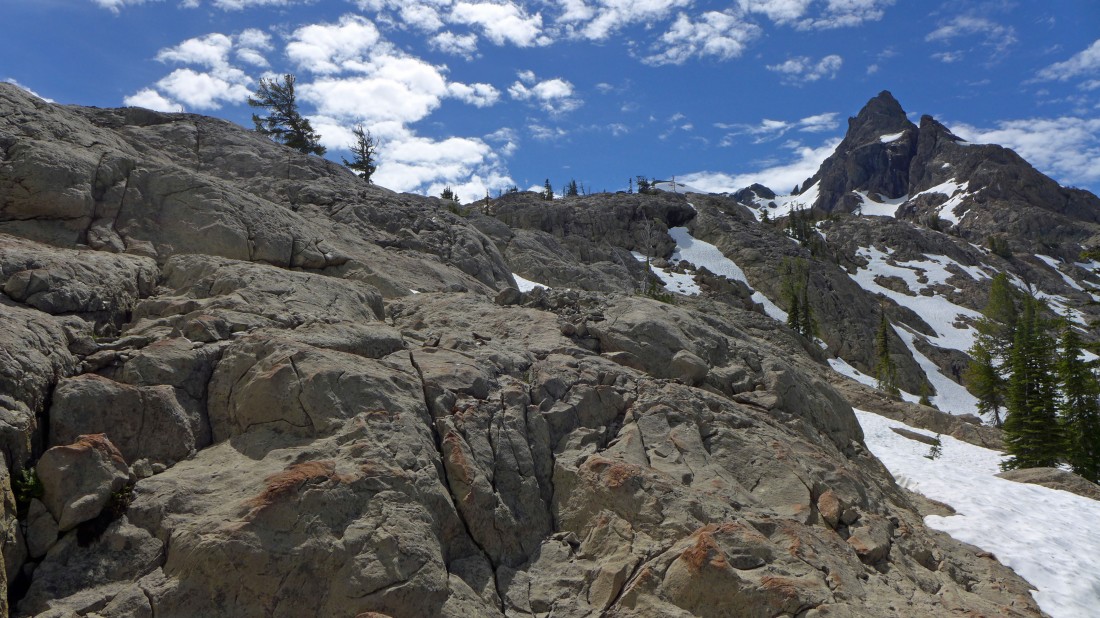
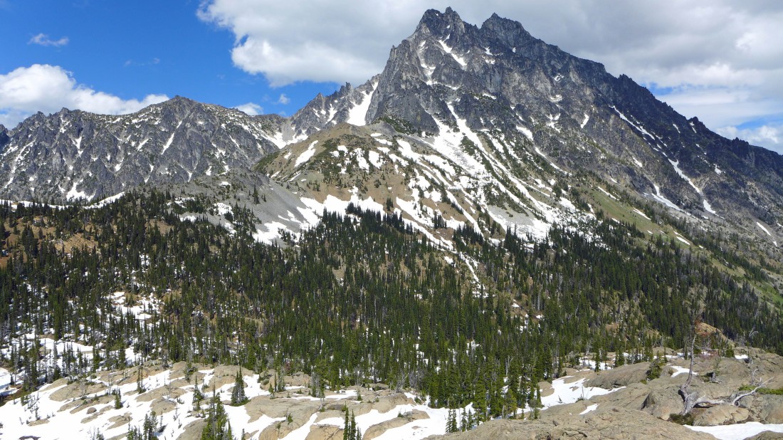
Continuing on the Ingalls Way Trail... Fortune Peak on the left.
|
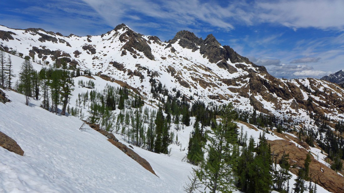
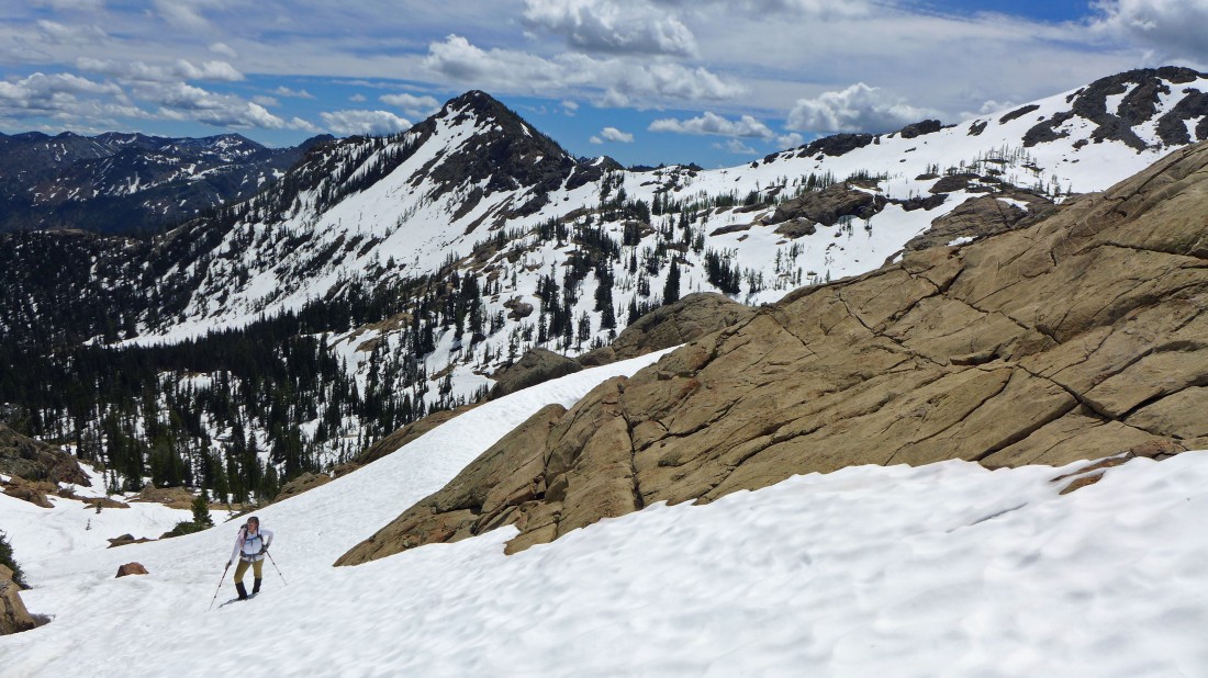
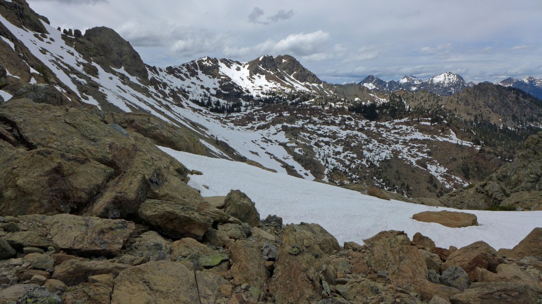
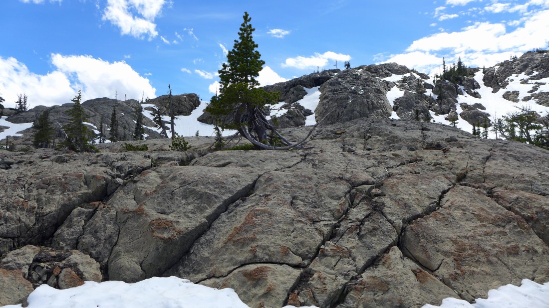
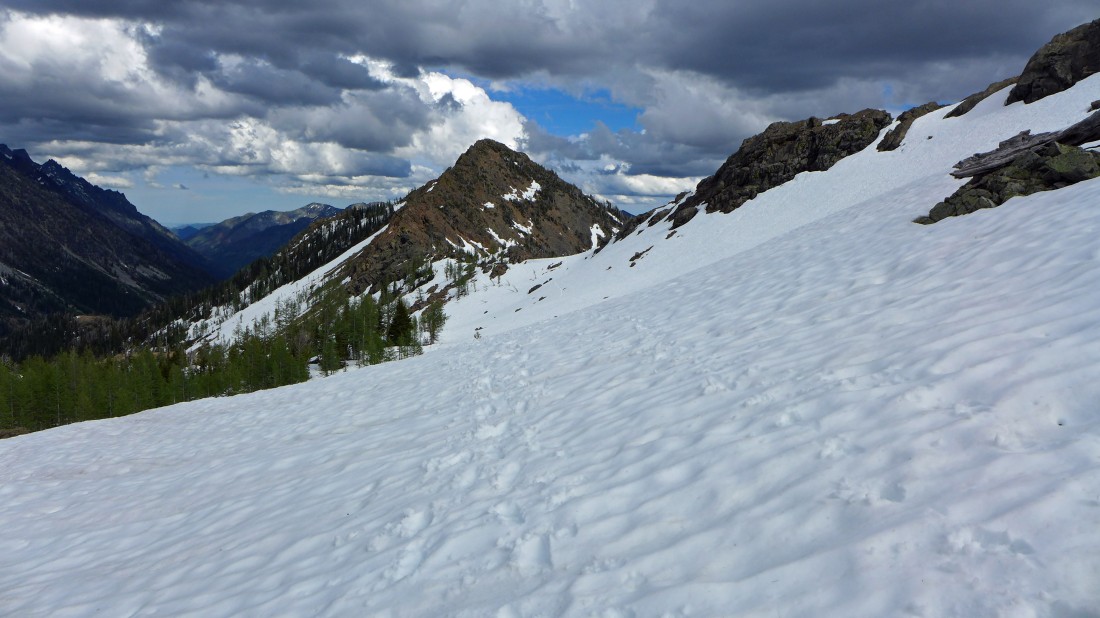
Ingalls Pass is above... continuous snow from 6000 feet.
|
From Ingalls Pass we are looking across Headlight Basin to the three summits of Ingalls Peak.
|
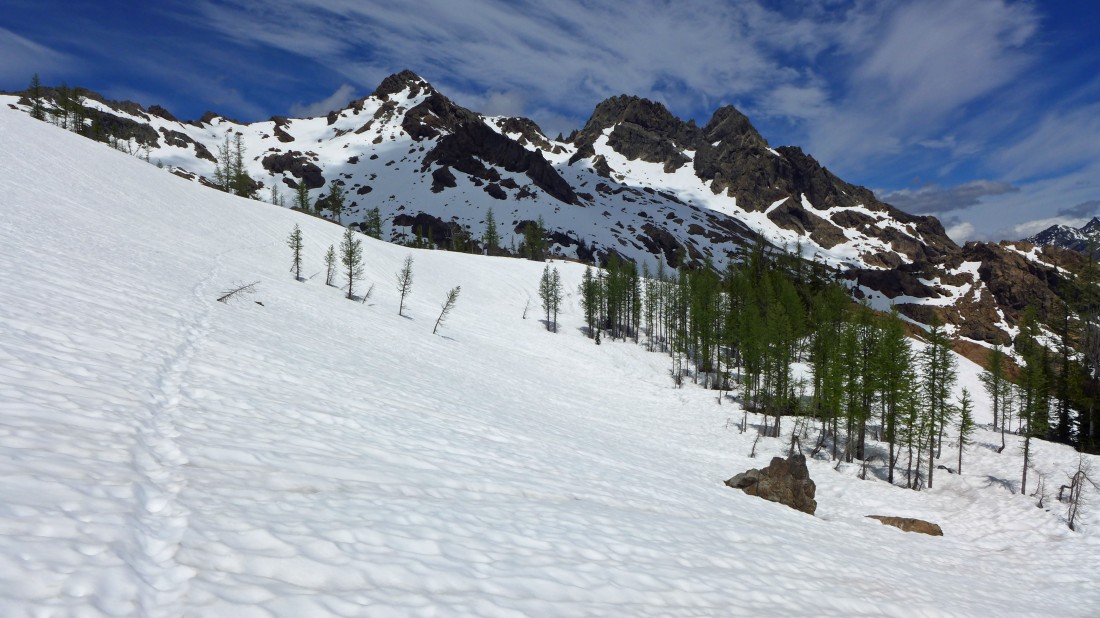
Leaving Ingalls Pass we are following a good path that will take us over to Lake Ingalls.
|
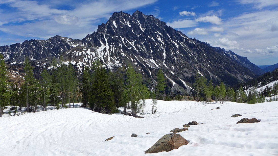
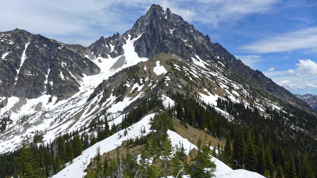
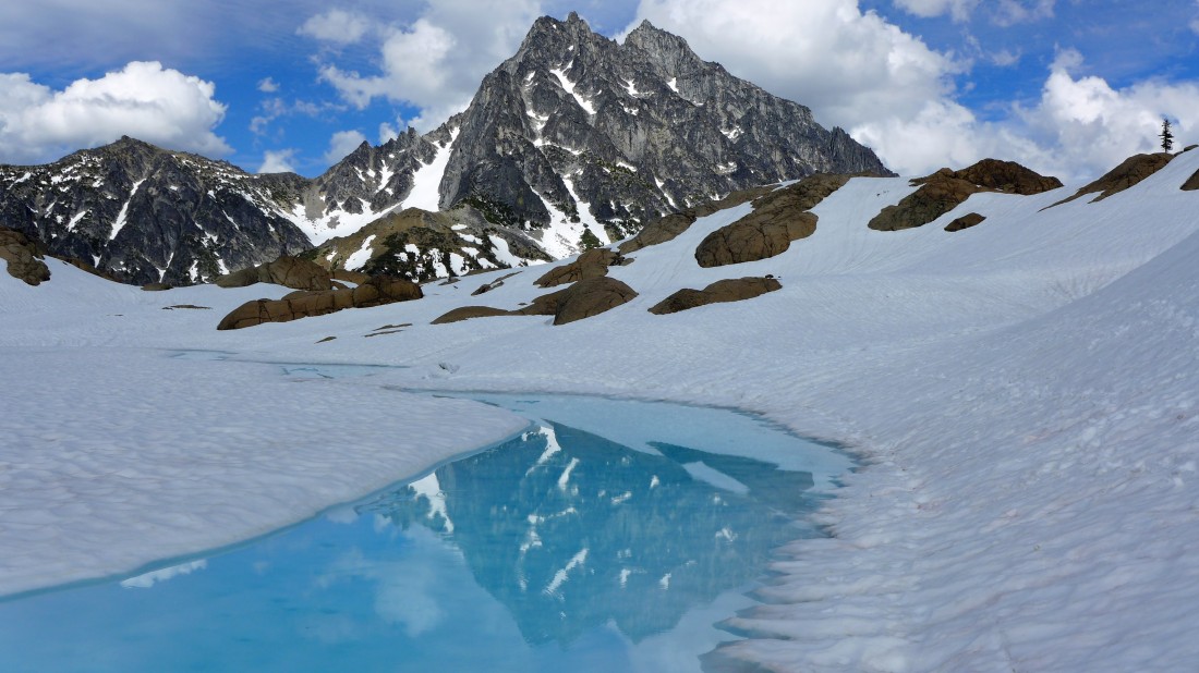
Mount Stuart from Headlight Basin.
|
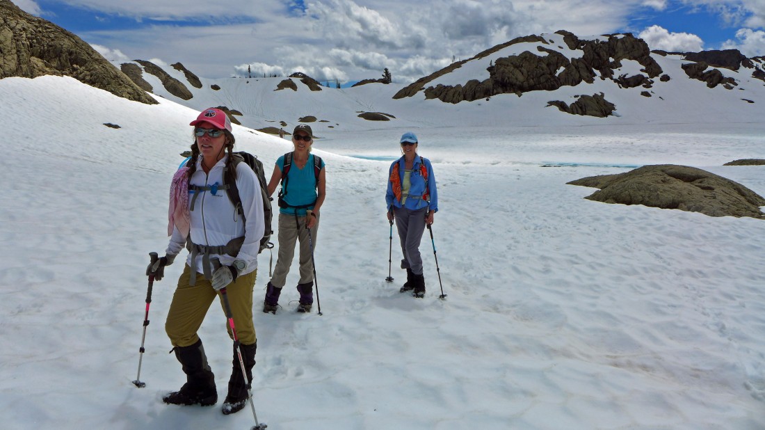
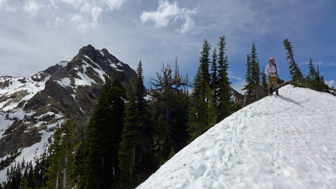
Here come the troops... looking back at Ingalls Pass and 'Not Hinkhouse' Peak.
|
Almost to Lake Ingalls... looking back at Ingalls Pass and 'Not Hinkhouse' Peak.
|
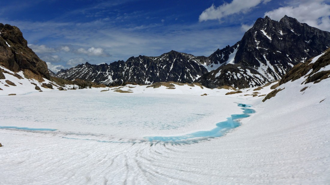
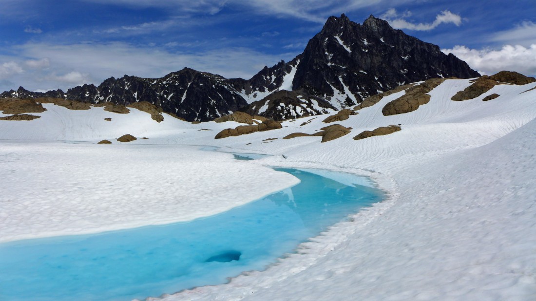
Lake Ingalls... with Jack Ridge and Mount Stuart.
|
Going around the east shoreline of Lake Ingalls.
|
Working around the east shoreline of Lake Ingalls... the south summit of Ingalls Peak is above in the center of the photo.
|
So beautiful.
|
Hiking along the east shoreline of Lake Ingalls.
|
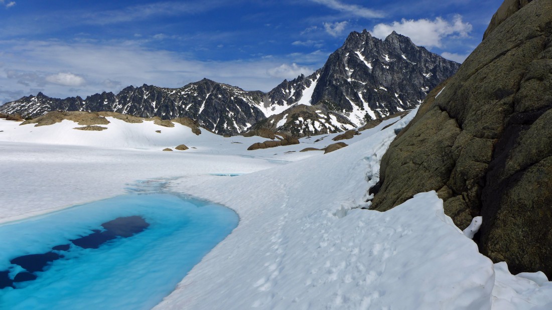
Ingalls Peak from the east shoreline of Lake Ingalls.
|
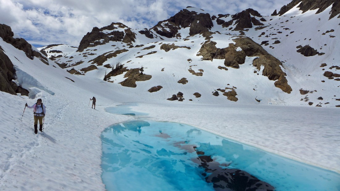
Sister wives at the north end of Lake Ingalls.
|
We will follow the ridge in the foreground over to Stuart Pass Hill... the light gray hill in the right foreground... Jack Ridge is on the horizon.
|
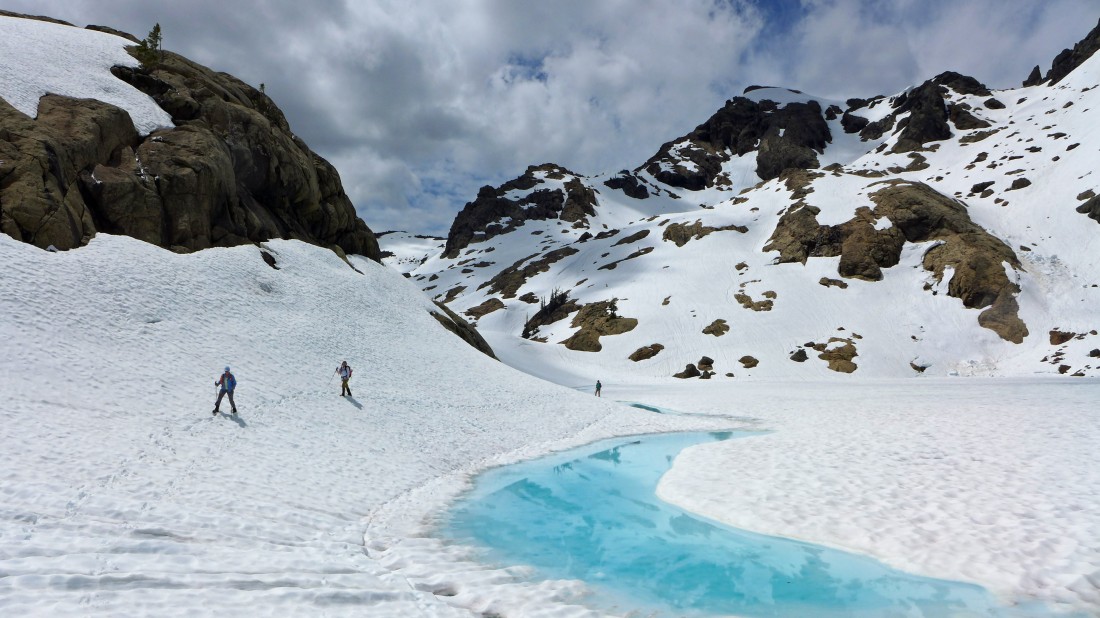
Working our way over to the ridge from the north end of Lake Ingalls.
|
I love this terrain.
|
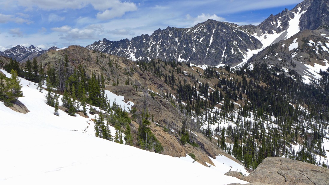
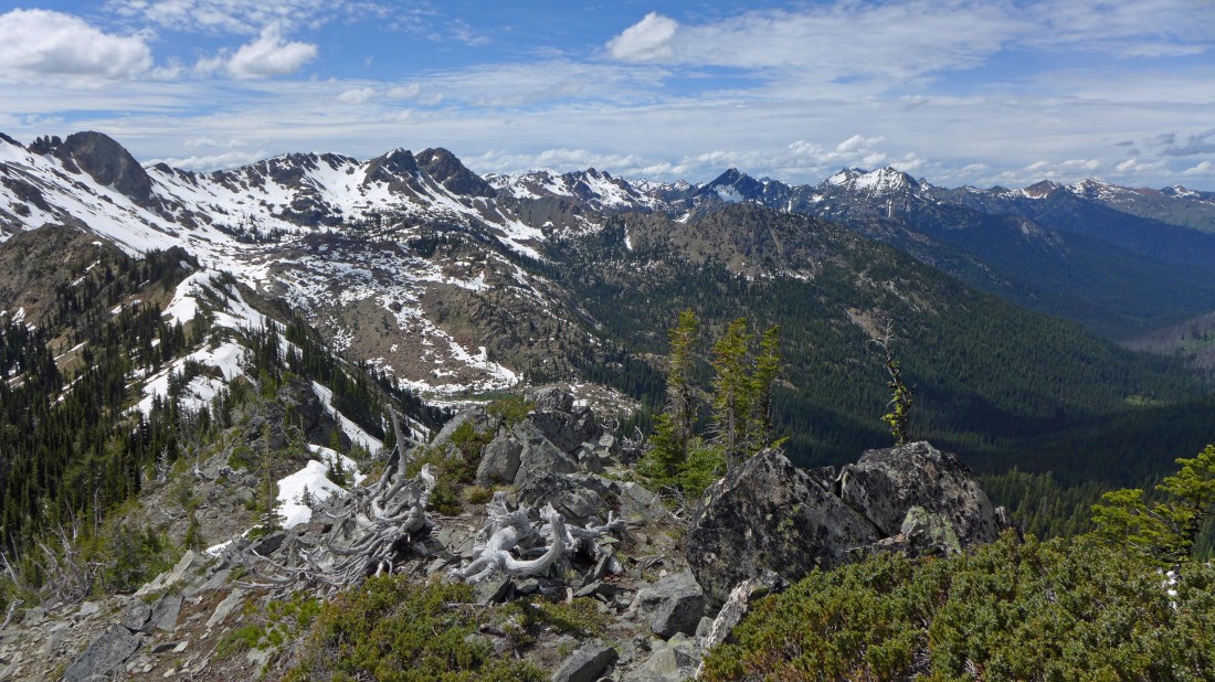
Looking north from the ridge that connects Ingalls Peak and Mount Stuart... Van Epps Peak is in the center of the photo... with Solomon Peak (aka Fish Eagle Peak), The Cradle and Harding Mountain in the right center of the photo.
|
Sahale and madman are going to stay just below the ridge as they head for Stuart Pass Hill... 'Not Hinkhouse' Peak is in the center of the photo... Bills Peak is on the far left.
|
I'm getting higher on the ridge between Lake Ingalls and Mt. Stuart... 'Not Hinkhouse' Peak is in the center of the photo... Bills Peak on the far left.
|
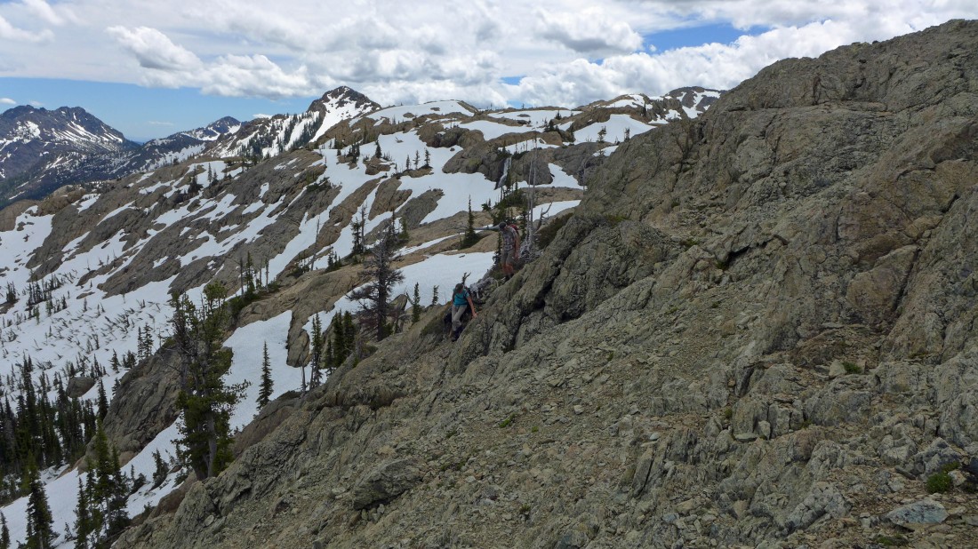
Working my way along the ridge toward Stuart Pass Hill and Mount Stuart.
|
Looking back at Lake Ingalls and Ingalls Peak.
|
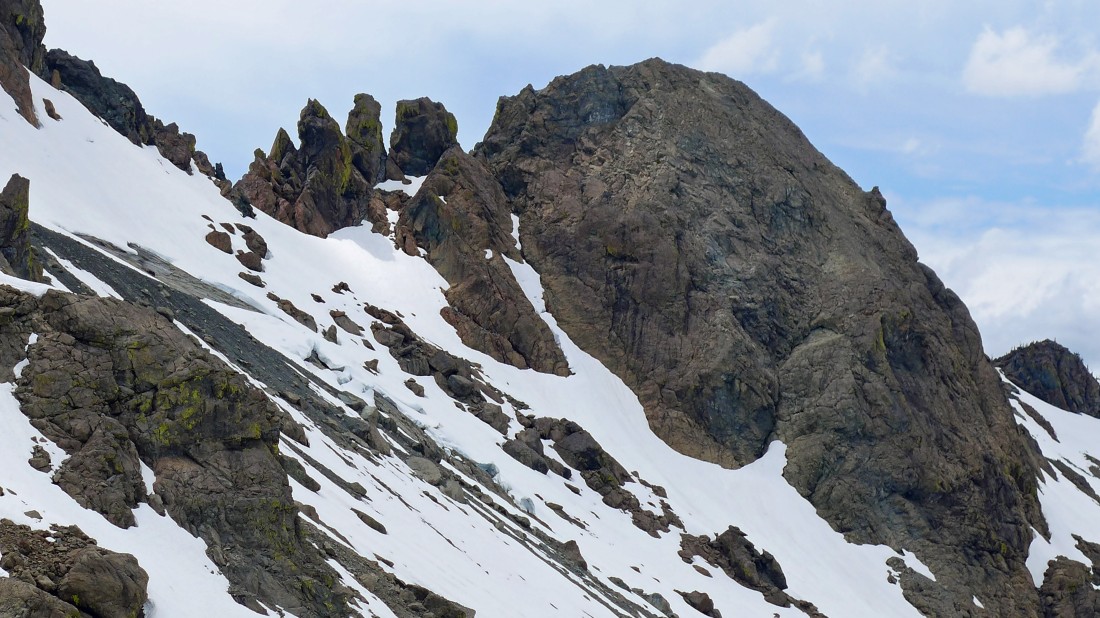
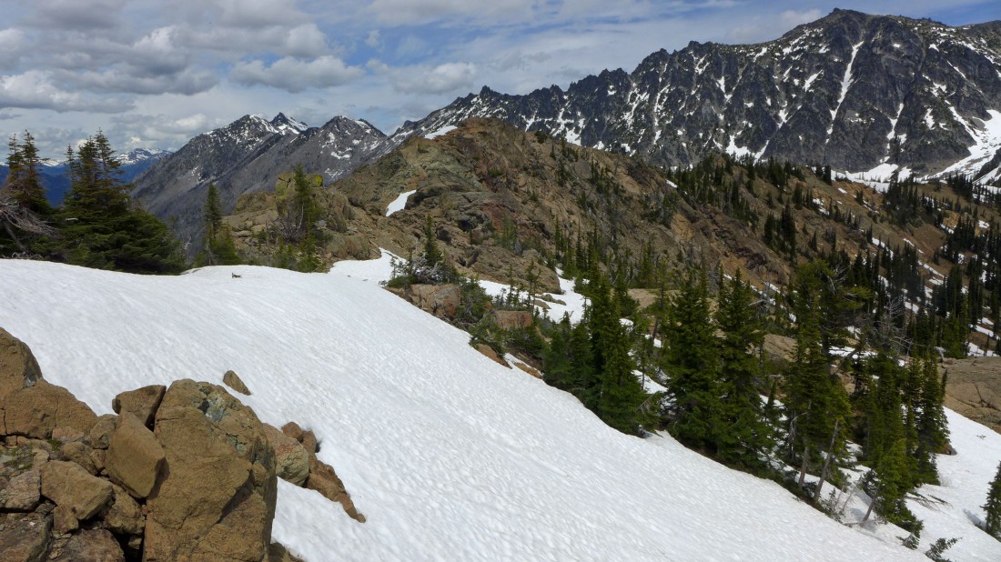
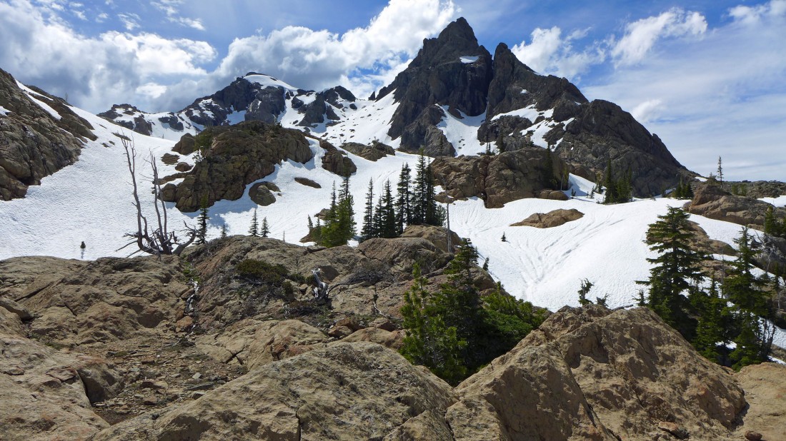
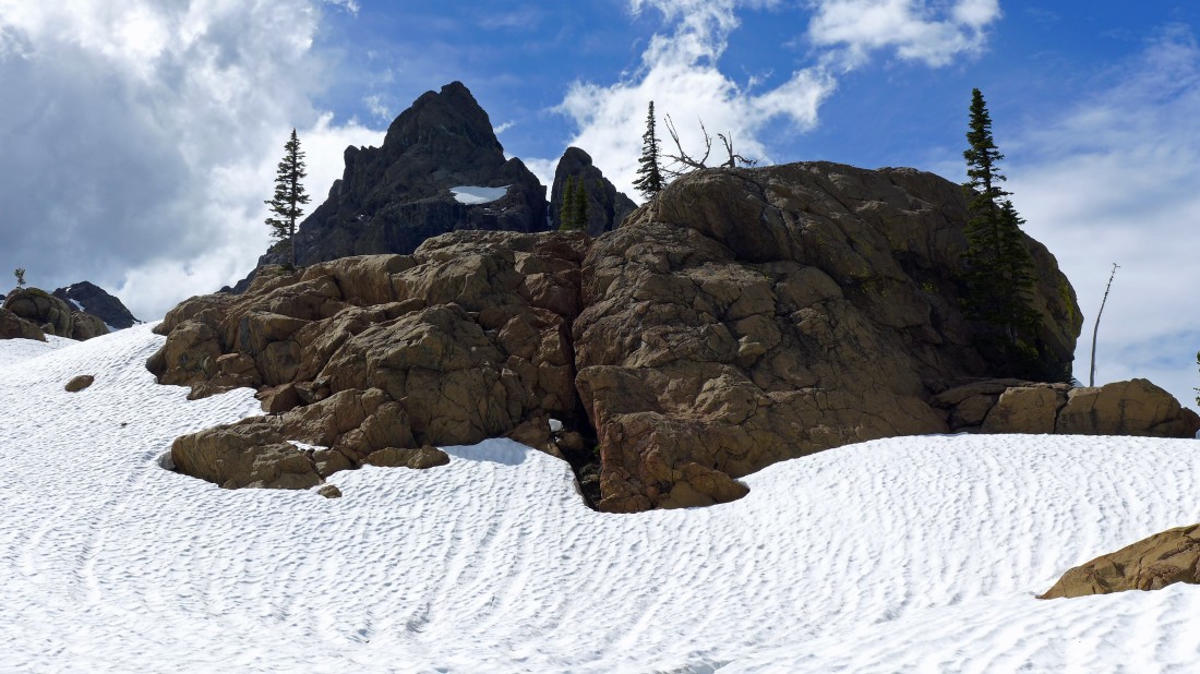
Yellow Lichen Towers from the ridge leading to Stuart Pass Hill.
|
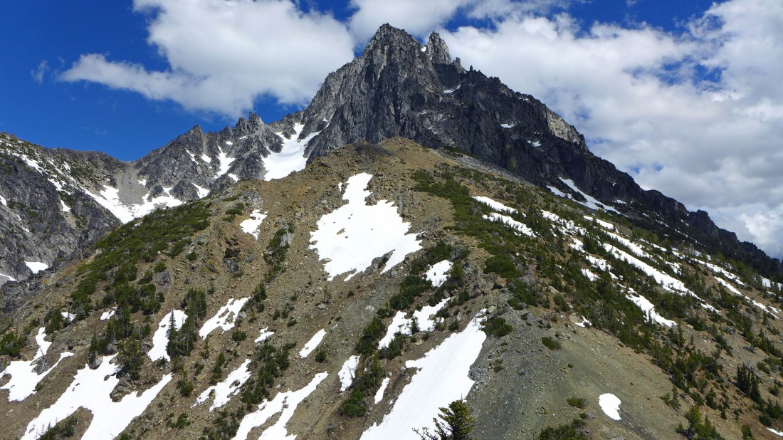
Heading along the ridge toward Stuart Pass and the rugged looking west ridge of Mount Stuart.
|
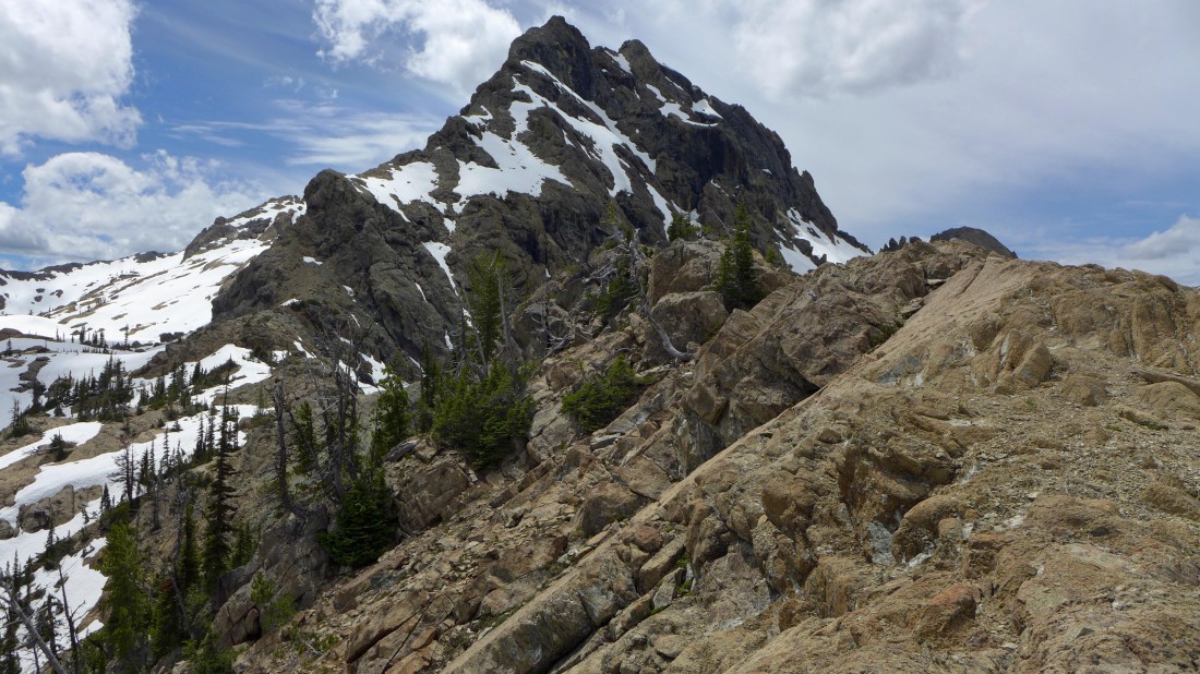
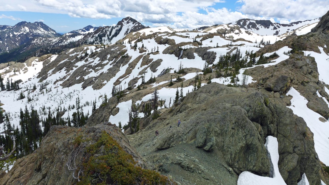
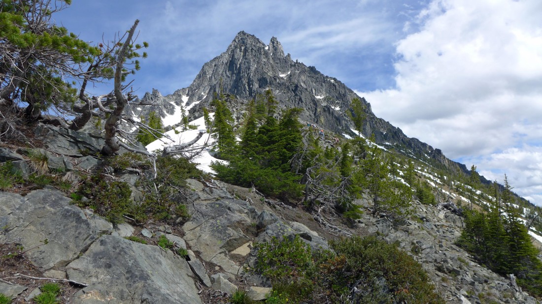
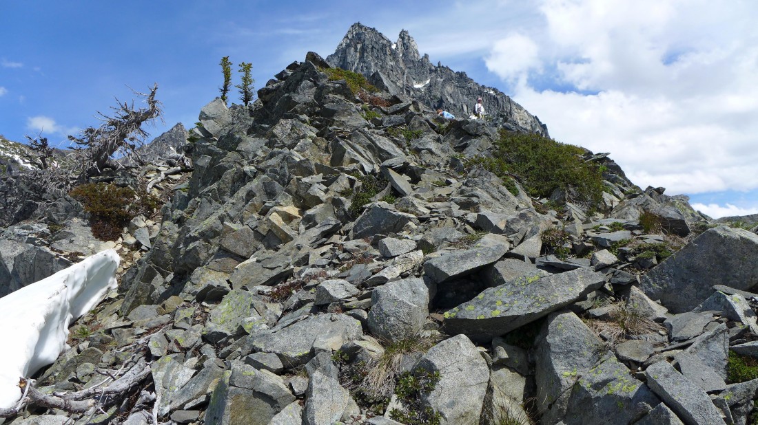
Looking back at Ingalls Peak as I work my way over to Stuart Pass... this is a very fun ridge scramble.
|
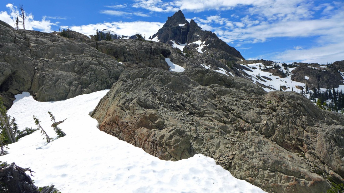
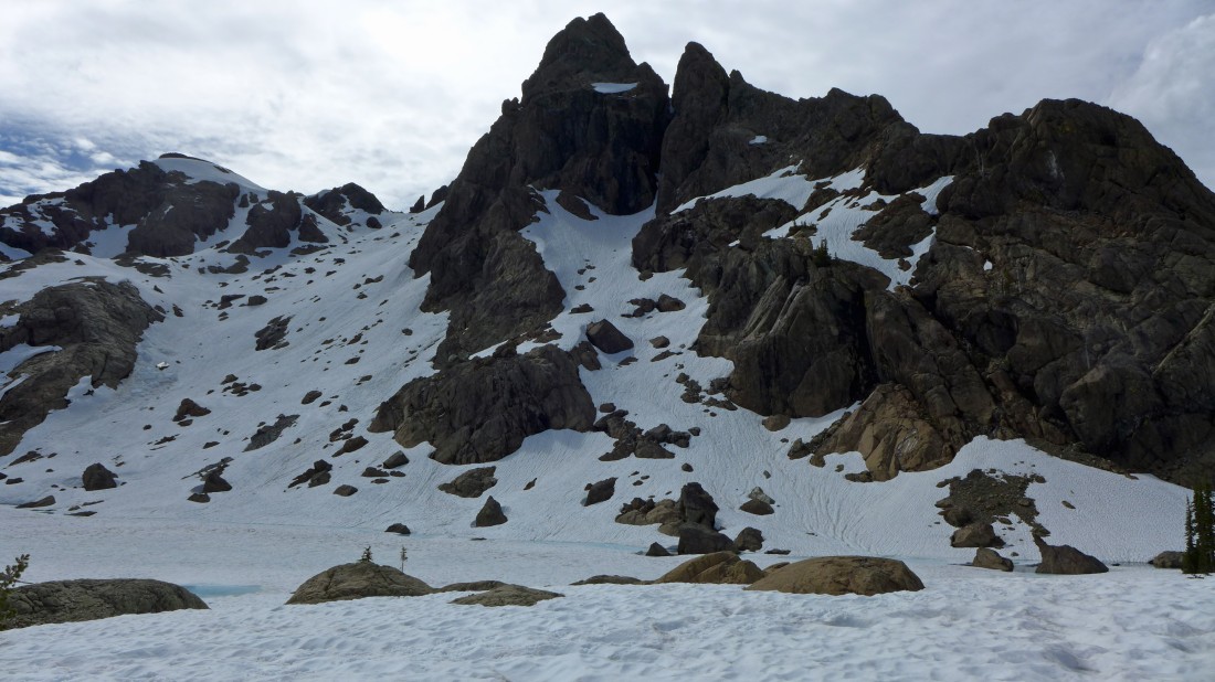
Stuart Pass is the low point in the foreground... Stuart Pass Hill (Point 6656) is the light gray hill just beyond the pass.
|
Snowdog nears Stuart Pass... with Ingalls Peak on the left.
|
Beyond Stuart Pass now and working our way up to the top of Stuart Pass Hill.
|
BarbE and Snowdog are almost on top of Stuart Pass Hill.
|
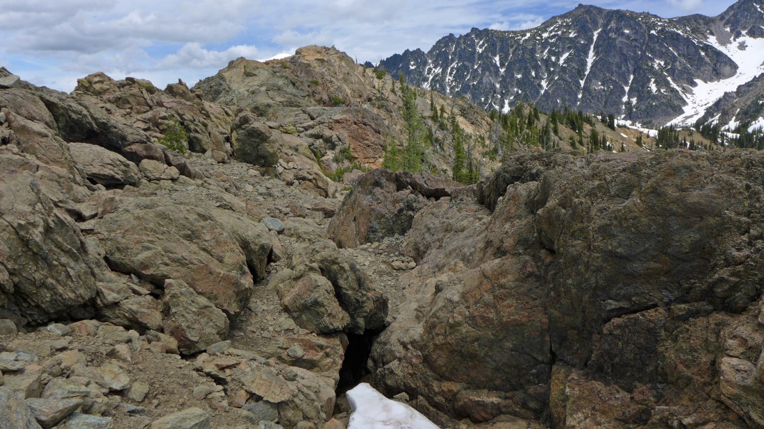
On top of Stuart Pass Hill (6656')... and the ridge we used to reach it.
|
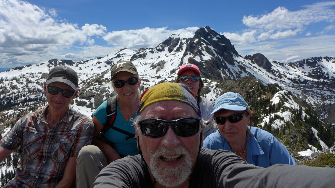
Mandatory selfie from the top of Stuart Pass Hill.
|
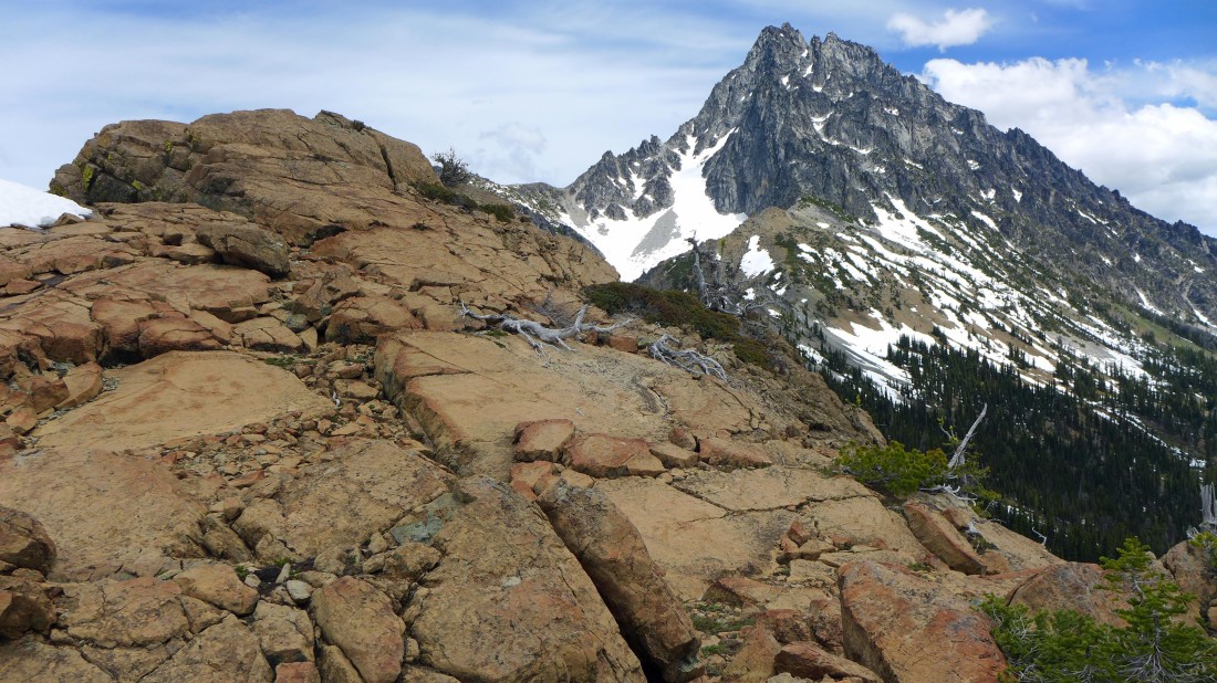
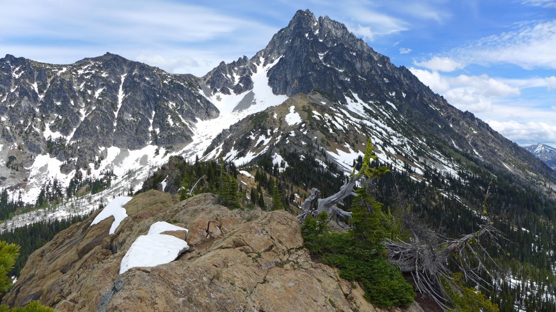
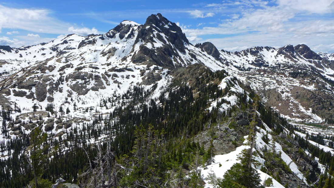
The west ridge of Mount Stuart from Stuart Pass Hill.
|
'Not Hinkhouse' Peak in the center of the photo... with Ingalls Pass to the right of 'Not Hinkhouse' and Longs Pass to its left... Teanaway Peak and the gnarly looking ridge that runs over to Longs Pass is in the left center of the photo... Bills Peak on the extreme far left.
|
Ingalls Peak from Stuart Pass Hill... I'm going to visit the 6000 foot basin in the foreground on the way back to the lake.
|
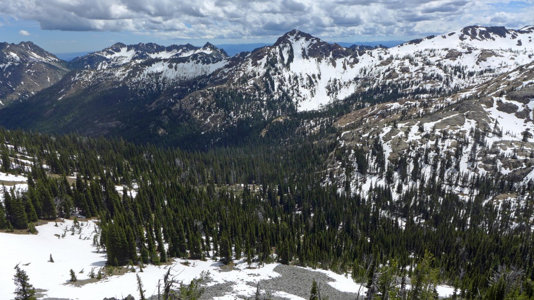
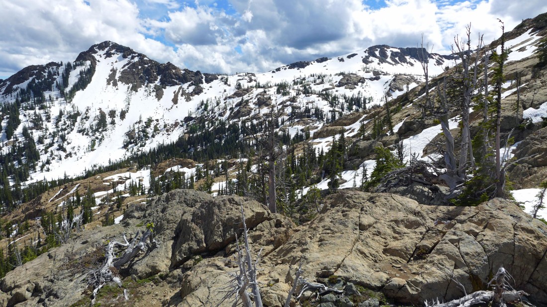
Looking NW and north from Stuart Pass Hill.
|
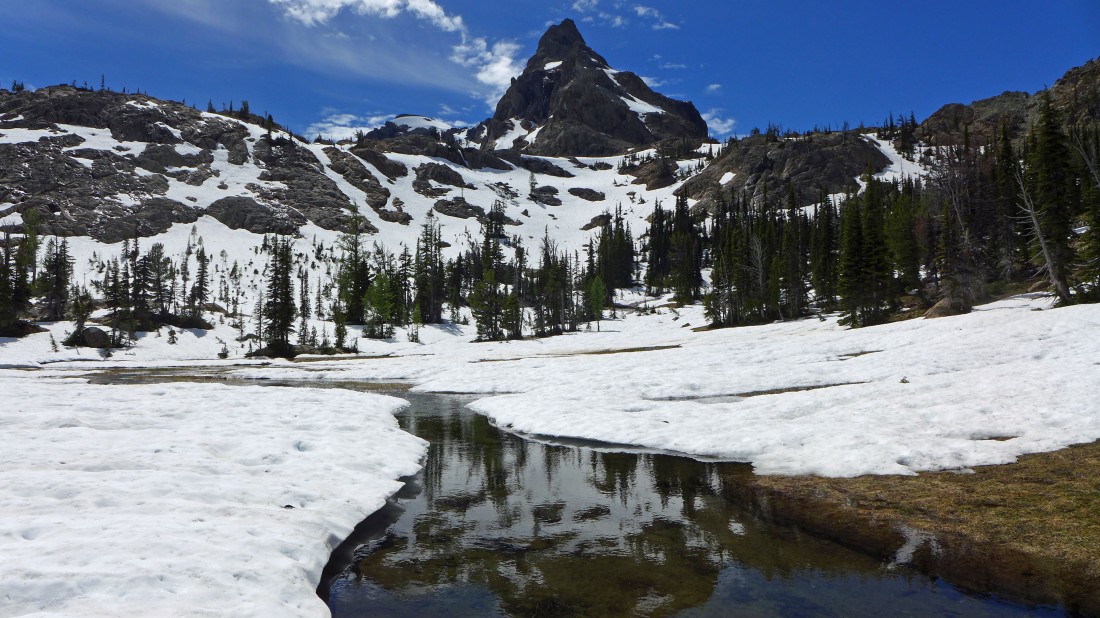
Ingalls Peak from the 6000 foot basin NE of Lake Ingalls.
|
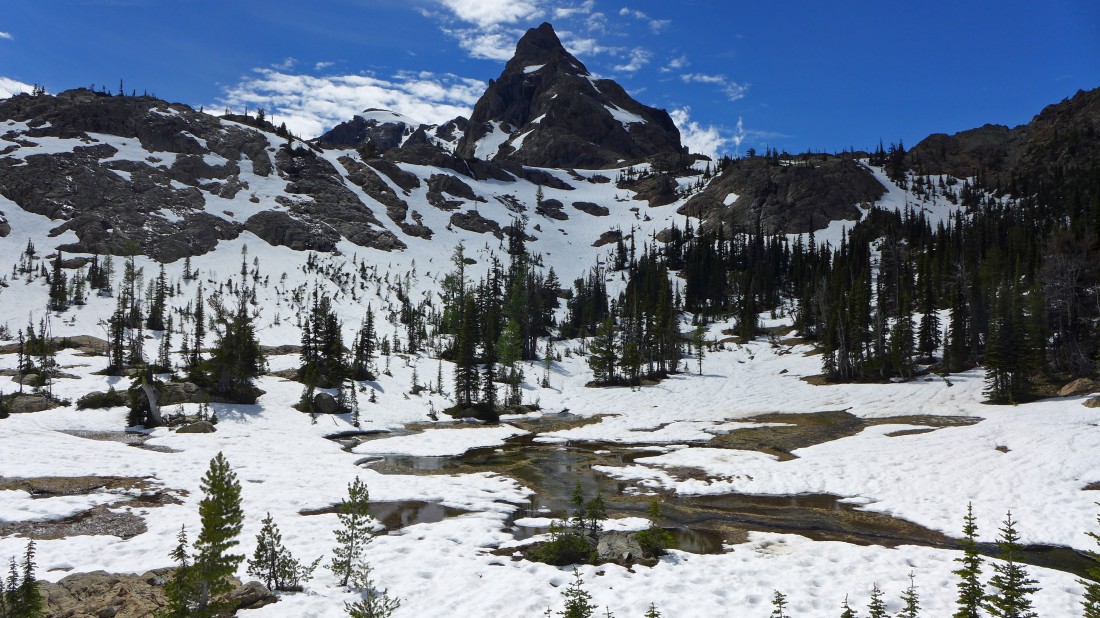
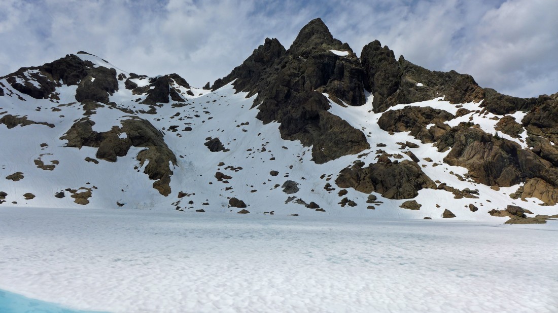
The 6000 foot basin NE of Lake Ingalls is beautiful.
|
Starting the scramble from the 6000 foot basin back up to the lake.
|
Scrambling back up to Lake Ingalls... so much fun!
|
Heading back up to Lake Ingalls.
|
Looking over to 'Not Hinkhouse' Peak (left) and Ingalls Pass as I work my way up to Lake Ingalls.
|
Looking back at Stuart Pass Hill and Mount Stuart... and the route I used from the 6000 foot basin (lower left corner of photo) to where I'm standing.
|
Getting closer to the lake.
|
Almost back to the lake.
|
Ingalls Peak from Lake Ingalls.
|
Mount Stuart reflection as we work our way back around the east shoreline of Lake Ingalls.
|
Almost back to Ingalls Pass... leaving ~3.5 miles to get back to the Esmeralda Basin Trailhead... and then a 1.1 mile road walk back to our car.
|
