Tamanos Mountain - 7.25.2017
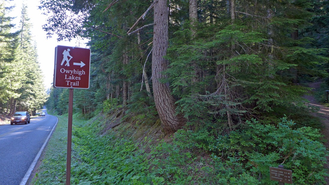
The trailhead for Owyhigh Lakes is located ~2 miles beyond the fee station at the White River Entrance to Mt. Rainier National Park.
|
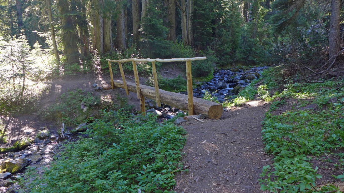
After hiking ~3 miles on well-graded switchbacks we crossed this bridge.
|
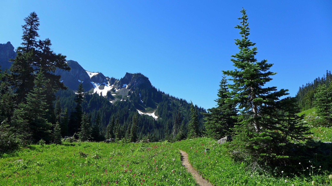
After hiking ~3.5 miles we entered the Owyhigh Lakes area.
|
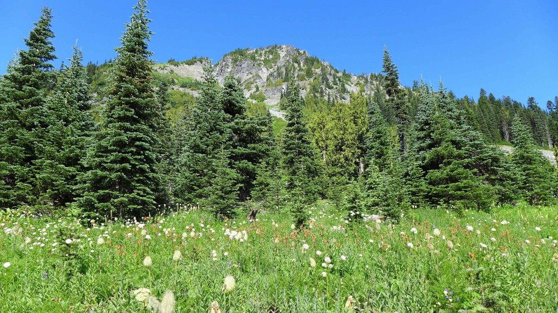
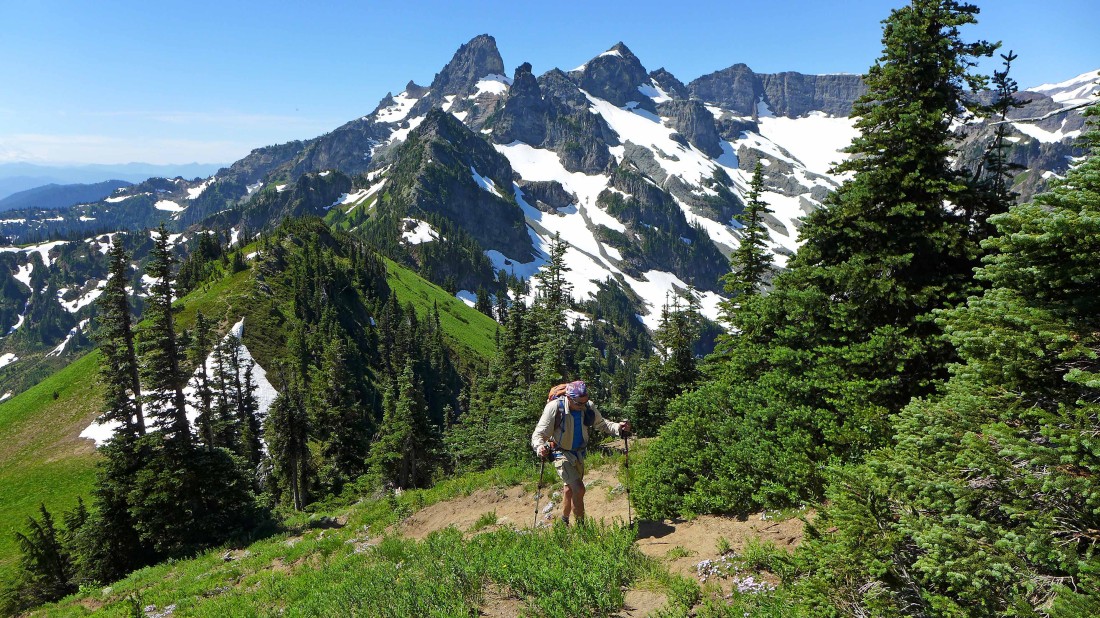
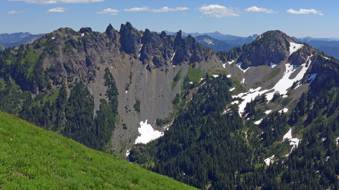
Looking up at Tamanos Mountain from the Owyhigh Lakes area.
|
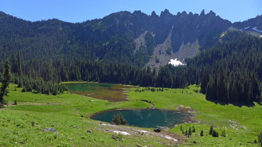
Continuing on the trail... Owyhigh Lakes with Govenors Ridge above.
|
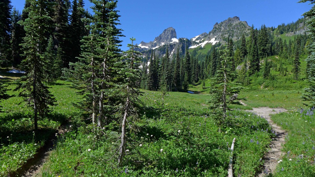
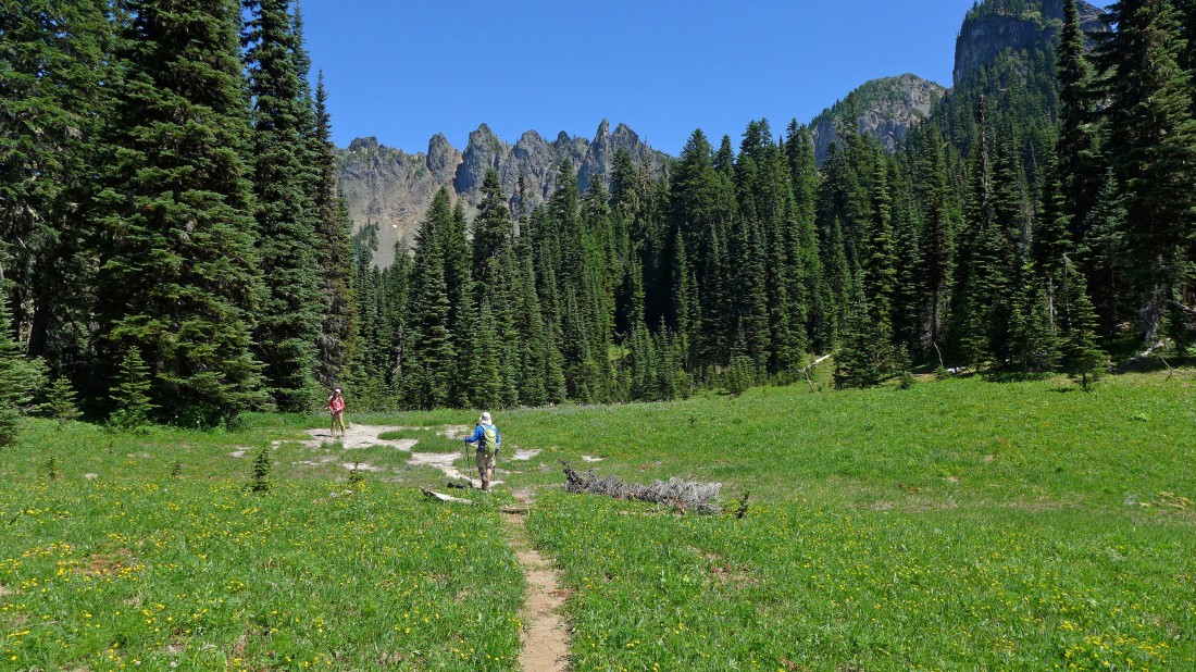
A quarter-mile beyond the lakes we came out of the woods and got this view of the Cowlitz Chimneys... the main trail is in the shade on the far left... but we will step over a small log and continue into the meadow on this obvious path.
|
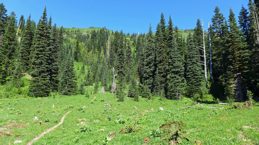
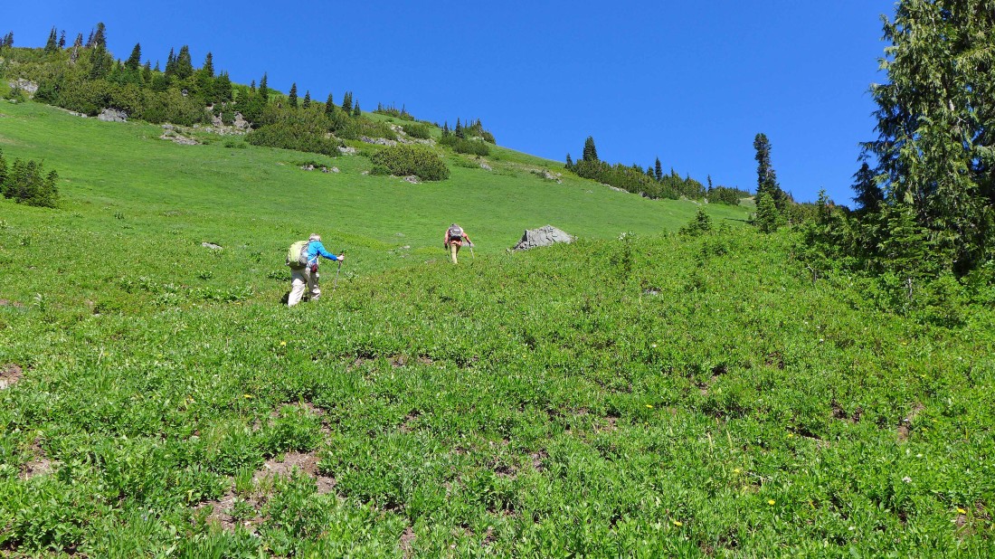
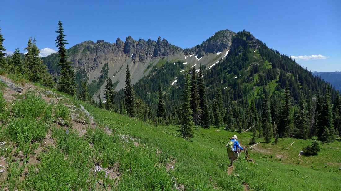
Hiking through the meadow on this obvious path... the terrain gets a lot steeper very quickly... the Tamanos summit is up there somewhere on the far right.
|
Gaining elevation on the south slopes of Tamanos Mountain... the Cowlitz Chimneys are in the distance.
|
Continuing on a good path for the saddle on the south side of Tamanos.
|
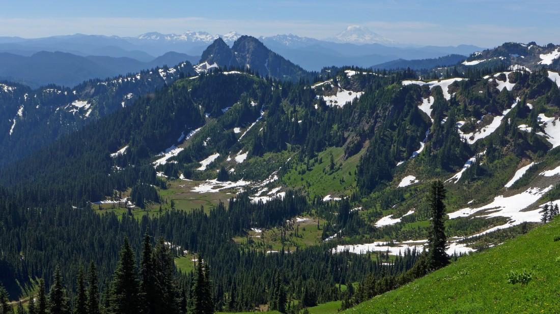
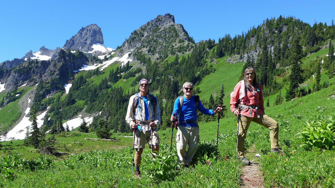
Looking back at Double Peak in the foreground... with Goat Rocks and Mt. Adams on the horizon.
|
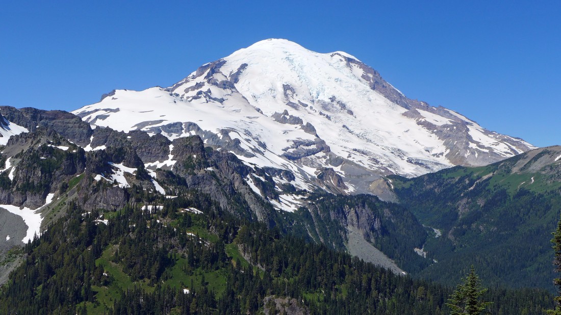
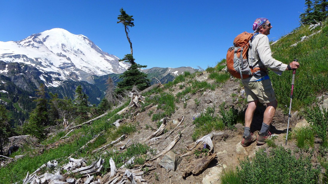
Mt. Rainier from the 6200 foot saddle on the south side of Tamanos Mountain.
|
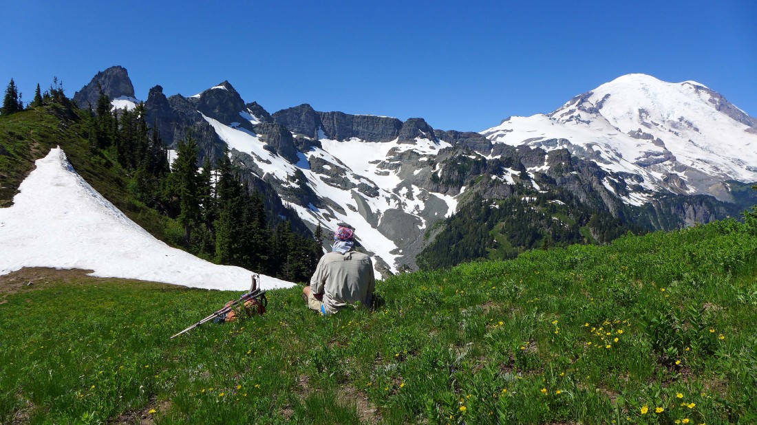
robman enjoys the view of the Sarvant Glaciers below Banshee Peak and the Cowlitz Chimneys.
|
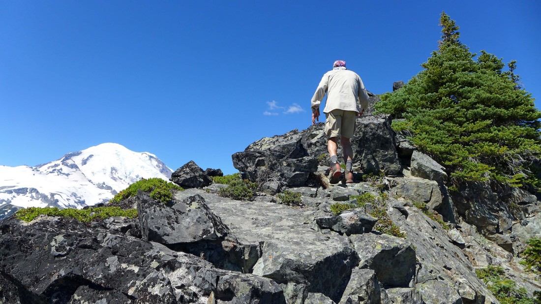
Above the 6200 foot saddle and heading for the summit of Tamanos Mountain.
|
Continuing on the well-defined path leading up to the Tamanos summit.
|
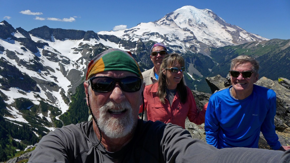
A selfie from the false summit of Tamanos Mountain.
|
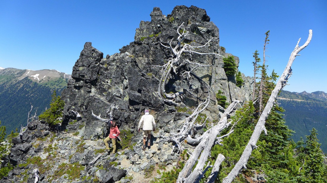
We have left the false summit and have a fun Class 2 ridge scramble over to the true summit.
|
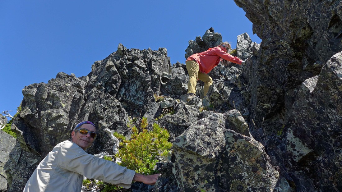
Class 2 scramble on the ridge leading to the true summit.
|

Snowdog leads the way to the true summit.
|
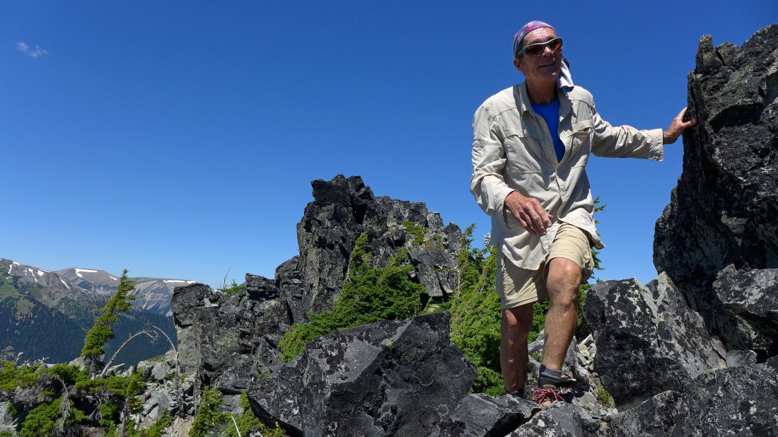
robman on the fun Class 2 scramble over to the true summit of Tamanos Mountain.
|
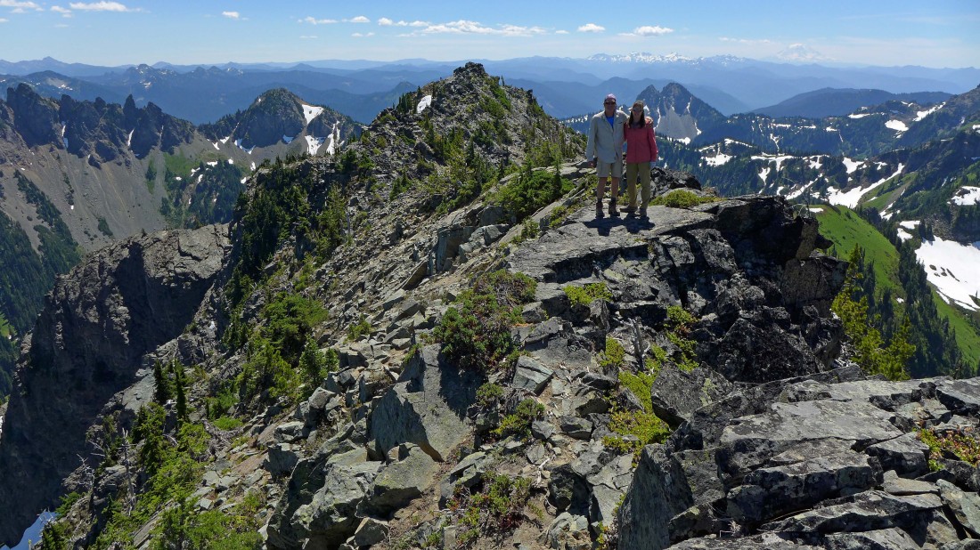
robman and Snowdog on the summit (6790') of Tamanos Mountain... the false summit is behind them... Govenors Ridge and Barrier Peak are on the left... with Double Peak behind them.
|
Tracing our steps back to the false summit.
|
Govenors Ridge and Barrier Peak as we trace our steps back down to the valley.
|
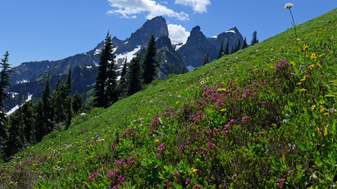
A nice flower show on the south slopes of Tamanos Mountain... with the Cowlitz Chimneys in the distance.
|
Almost down to the valley floor... Govenors Ridge and Barrier Peak are above.
|
Back in the valley floor... in the meadow where we left the main trail to start our way up to Tamanos earlier in the day.... a 3.5 mile hike will get us back to the car.
|
