Breccia Peak - 7.28.2017
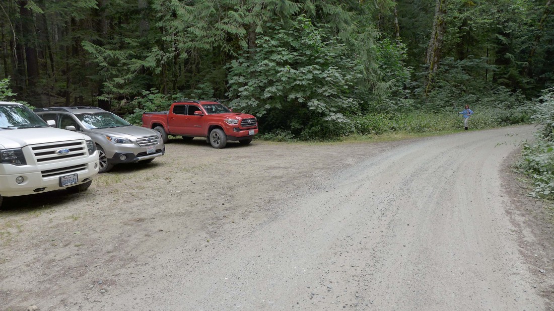
Turn off of the Mountain Loop Highway onto FS-49... then drive 3 miles and park on the left side of the road... there is no signage for the parking area... room for 6 cars... then walk up the road a short distance... BarbE is pointing toward the trailhead sign which is not visible from the road.
|
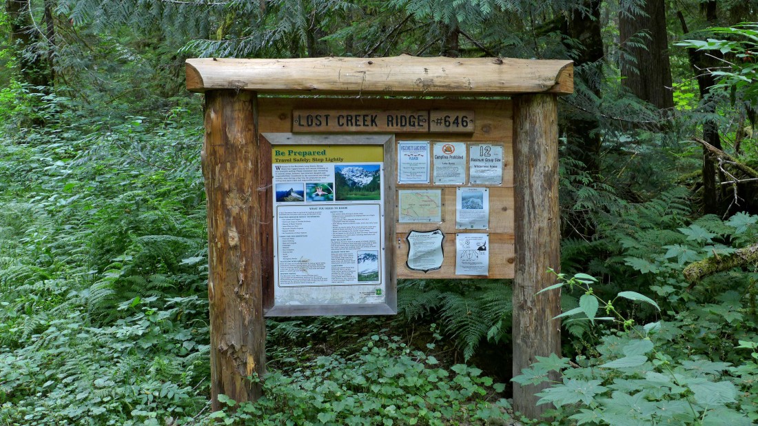
The trailhead sign for Lost Creek Ridge Trail #646.
|
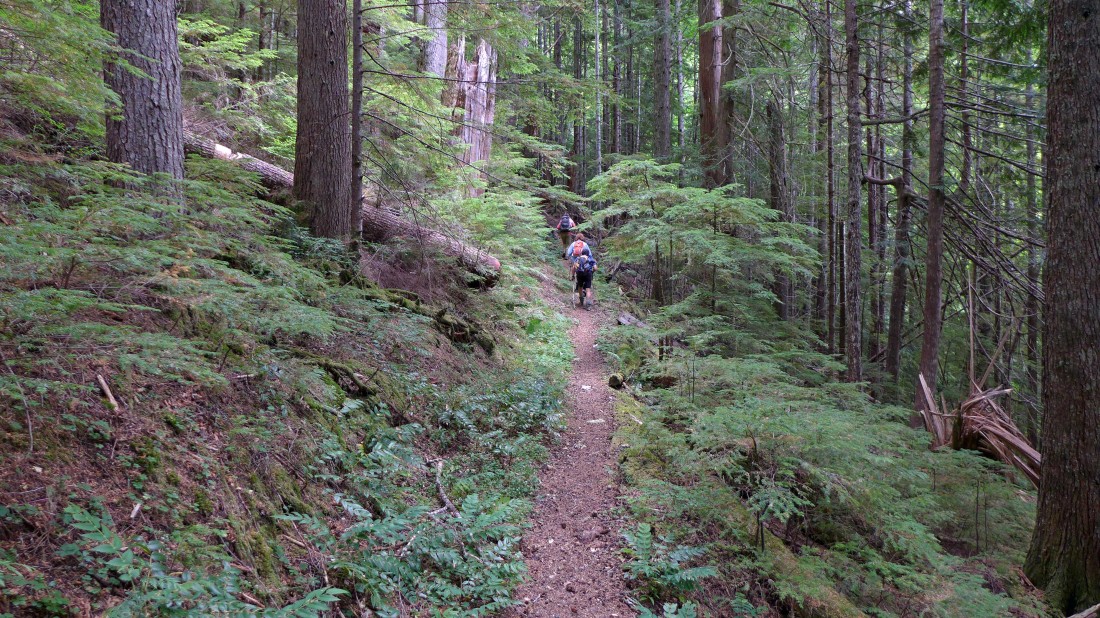
The first mile or so is on gentle switchbacks.
|
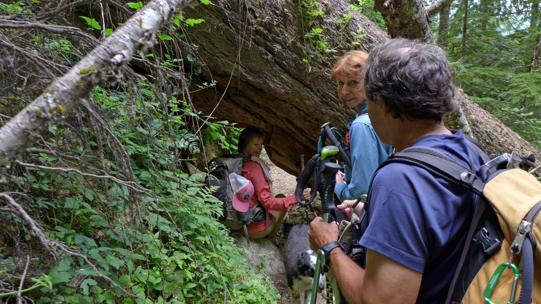
Make yourself small to get past this obstacle.
|
The switchbacks become steeper after the first mile or so... here we have reached Bingley Gap (~4400') after hiking a little more than 3 miles in the trees... which gained 2600 feet of elevation.
|
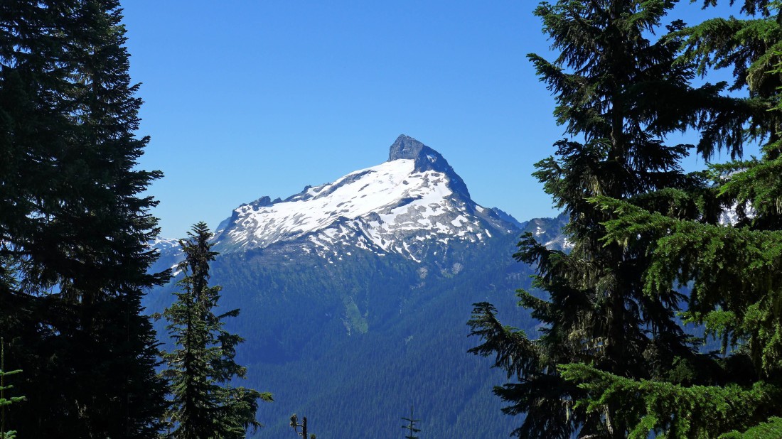
A peek-a-boo view of Sloan Peak as we head east from Bingley Gap on the Lost Creek Ridge Trail.
|
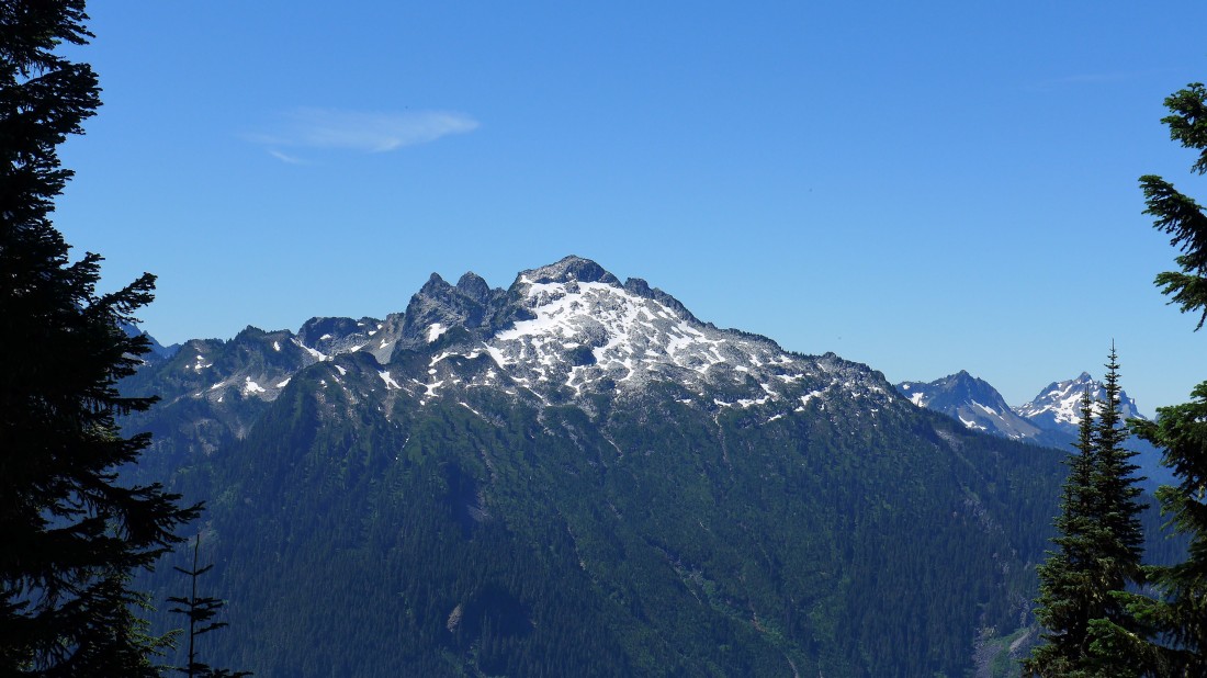
A peek-a-boo view of Bedal Peak as we head east from Bingley Gap on the Lost Creek Ridge Trail... Sperry and Vesper are in the distance on the far right.
|
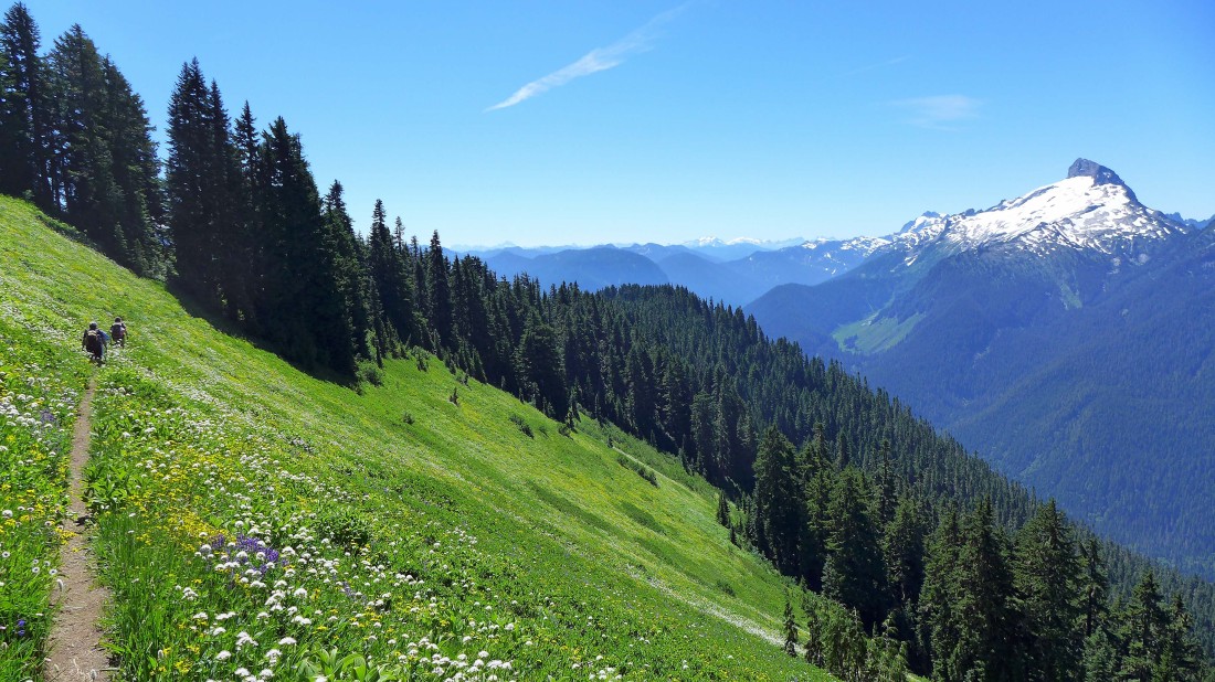
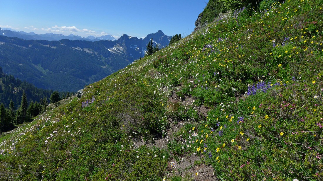
After hiking a mile or so from Bingley Gap the trail becomes more open... flowers and peaks.
|
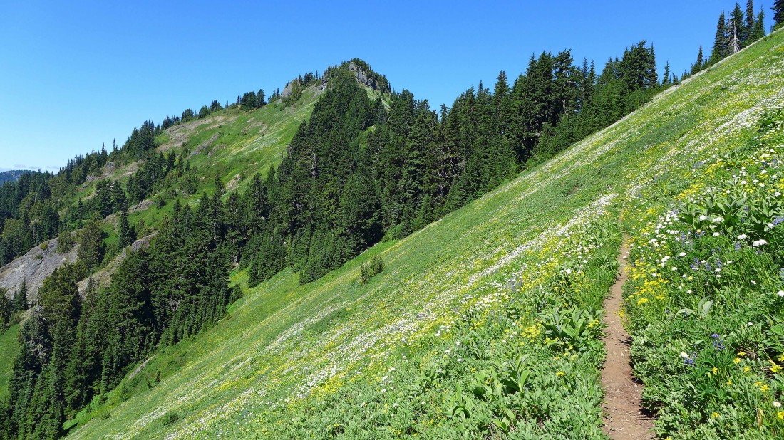
Looking back at our route after coming out of the trees.
|
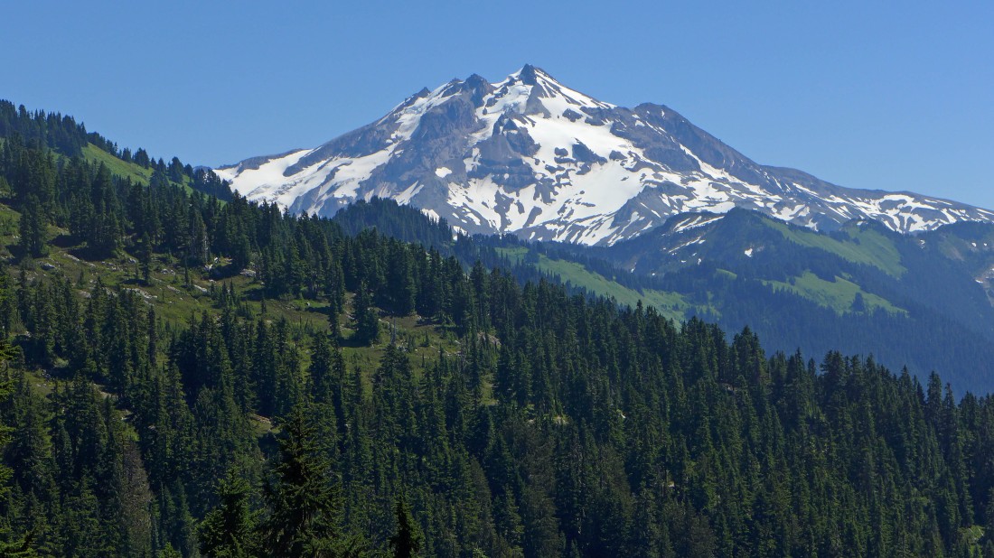
Our first look at Glacier Peak after hiking ~4.5 miles.
|
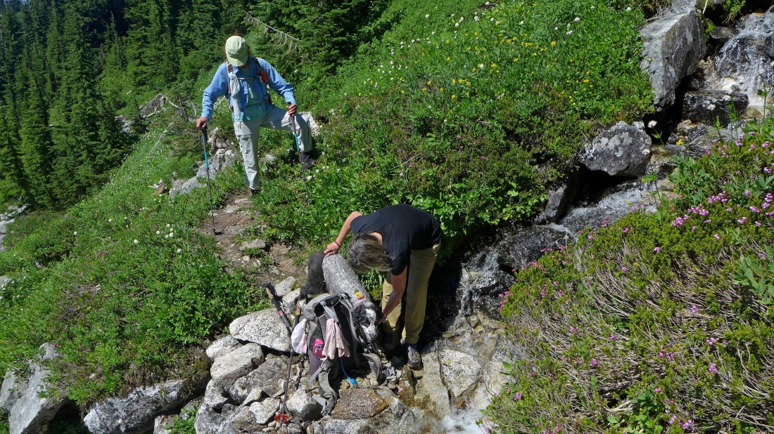
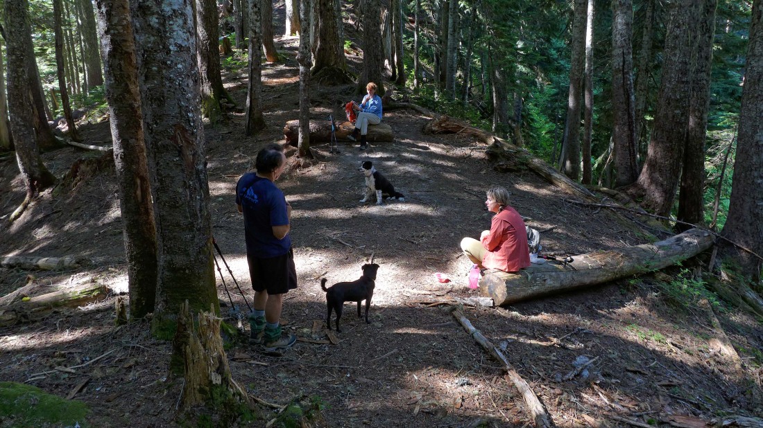
Izzy gets a shield from the heat... the stream is coming down from Sunup Lake.
|
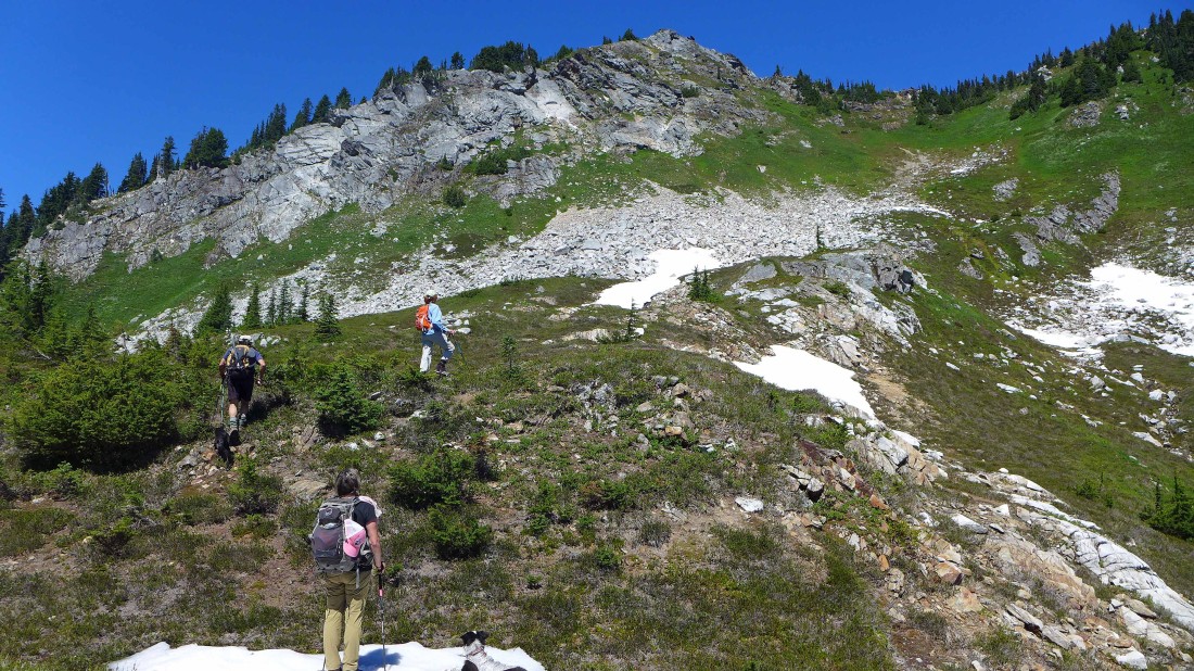
We continued a quarter-mile or so beyond the stream coming down from Sunup Lake... and have left the trail and started up for the ridge.
|
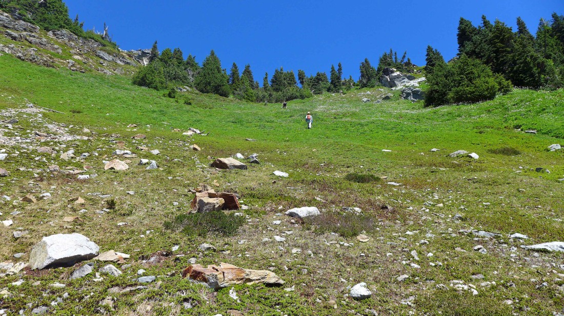
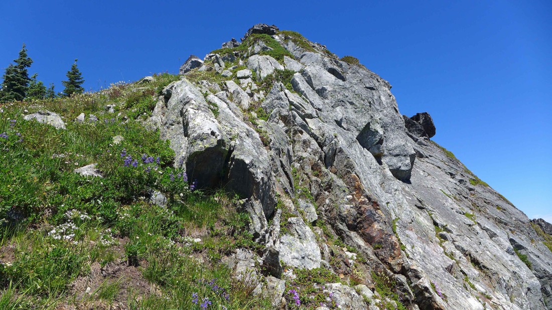
Heading for the ridge... the terrain is steeper than it looks in the photo.
|
I branched off from the others and started working my way over to the huge rock outcropping west of where the others were going up... very steep here and I don't think I would opt for this route again.
|
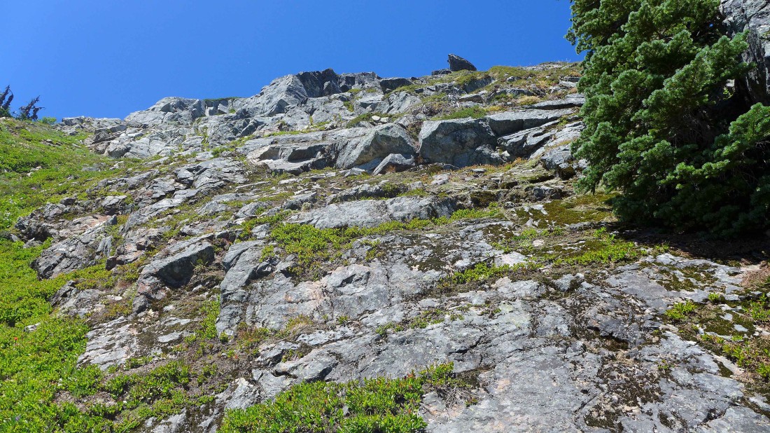
Steeper than I thought it was from below.
|
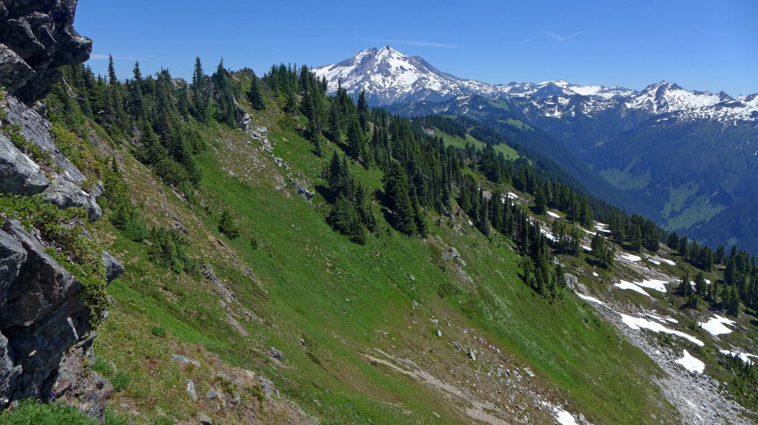
I'm above where the others gained the ridge in the left-center of the photo... every step higher gives a better view of Glacier Peak and the peaks in the Painted Traverse.
|
Finally the terrain eases a bit at ~6300 feet.
|
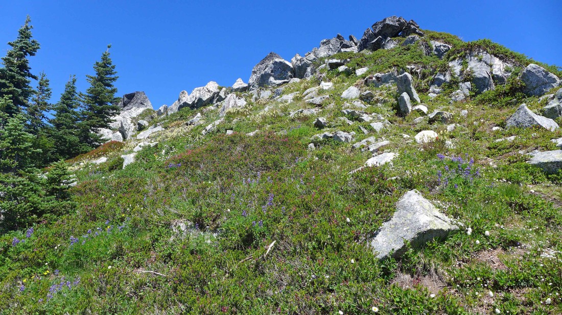
Much easier terrain as I head for the ridge.
|
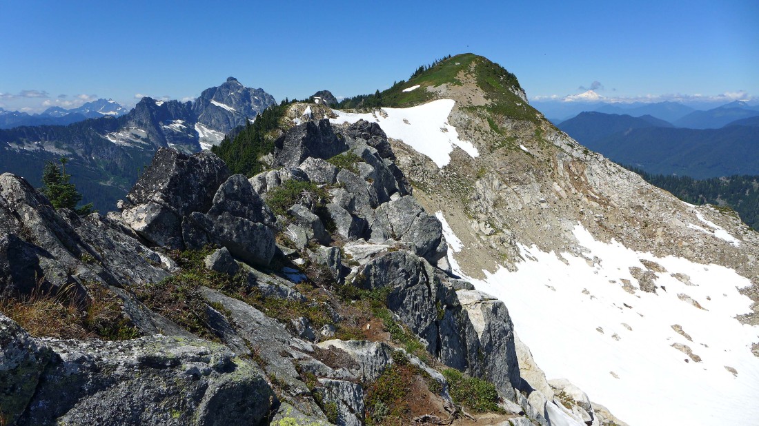
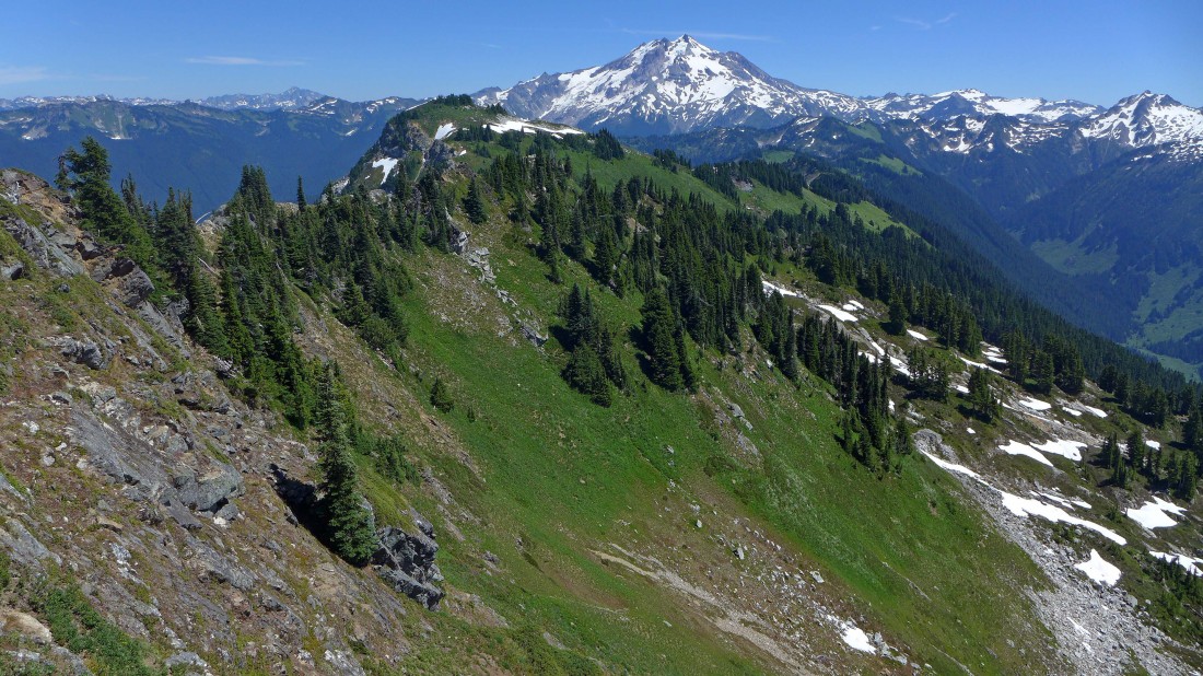
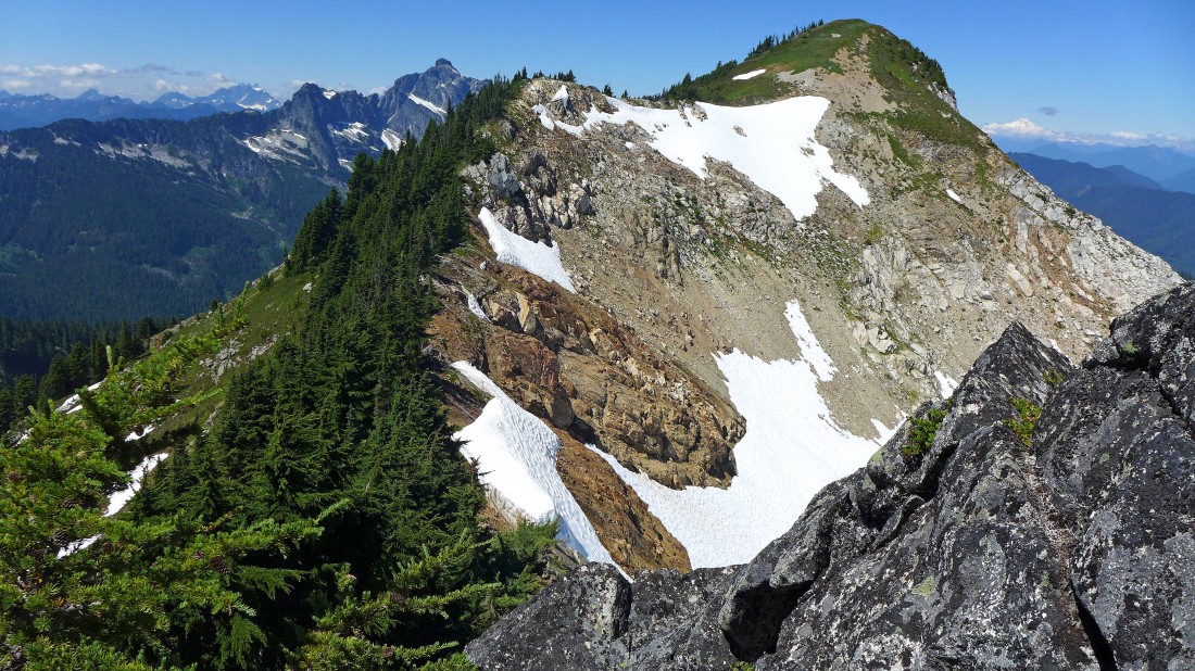
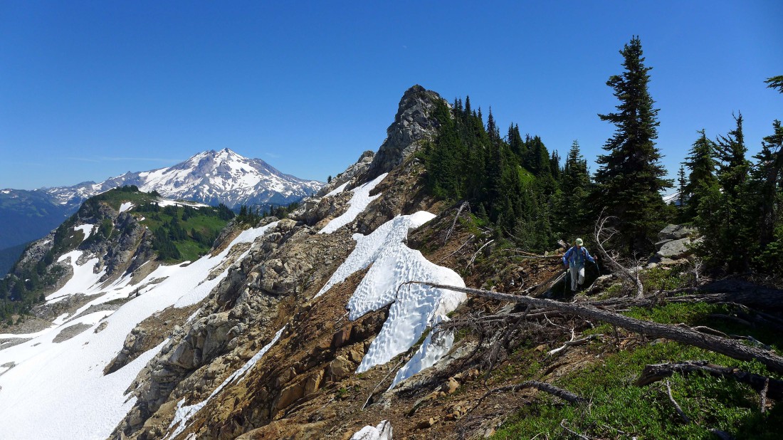
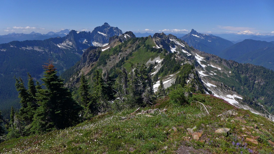
On the ridge... there is still some work to do to reach Breccia Peak... Mt. Pugh in the distance on the left... with Mt. Baker on the horizon to the right of Breccia.
|
Looking out along the Lost Creek Ridge toward Glacier Peak... Zi iob Peak is in the foreground.
|
I got cliffed out and will need to backtrack a very short distance... then go down 25 feet and work around the cliffs to the saddle below.
|
Looking back at the rock outcropping that I crossed over and around.
|
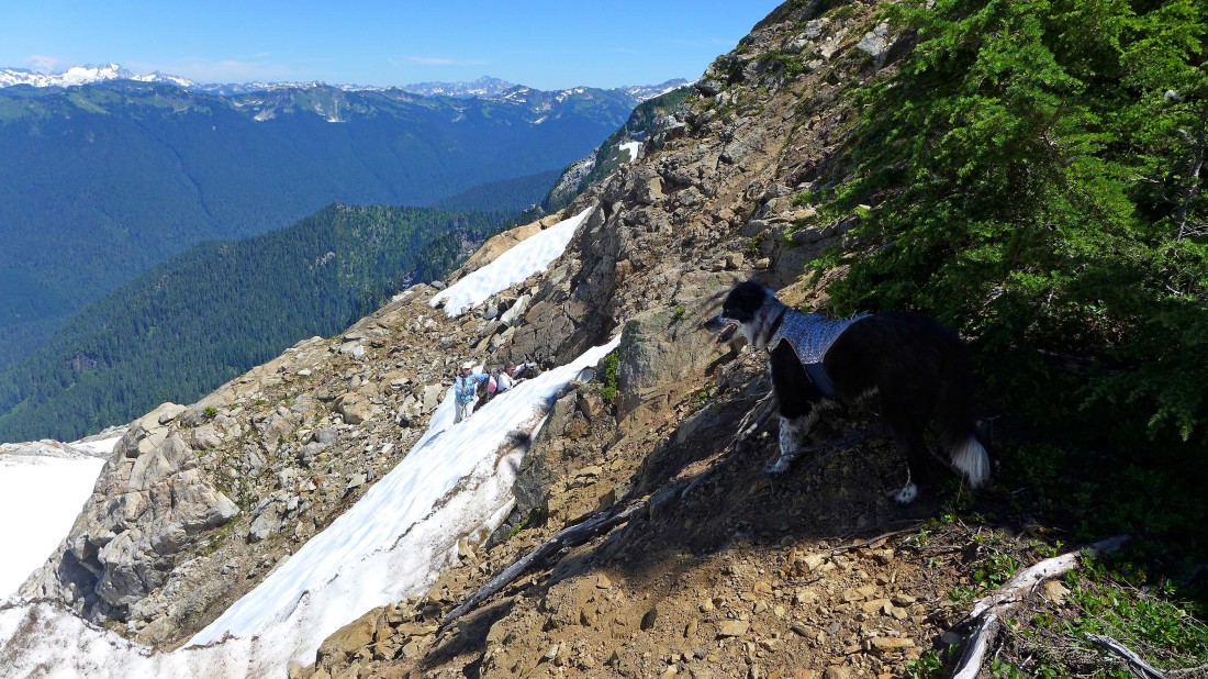
Here comes Barb and Elle... they chose to avoid the rock outcropping and take a moat route from where they gained the ridge... Izzy wonders what all the fuss is about.
|
Izzy found her cooling spot as she keeps an eye on Elle.
|
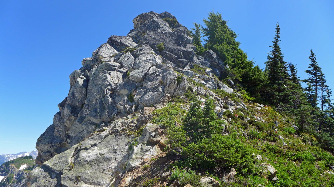
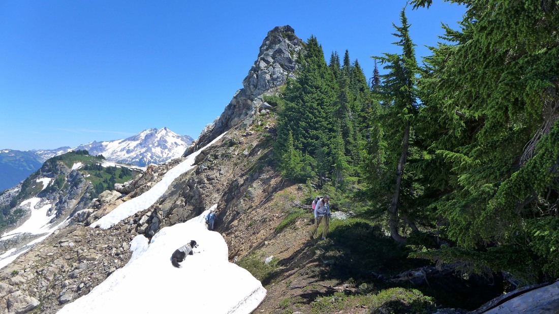
Back on the ridge leading to the summit of Breccia... Glacier Peak is in the distance... Zi iob Peak is in the left foreground.
|
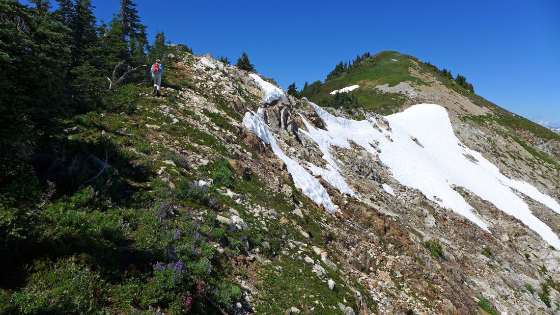
Finally... an easy ridge walk will take us up to the summit... when we come down from the summit, this is where we will start down to Sunup Lake.
|
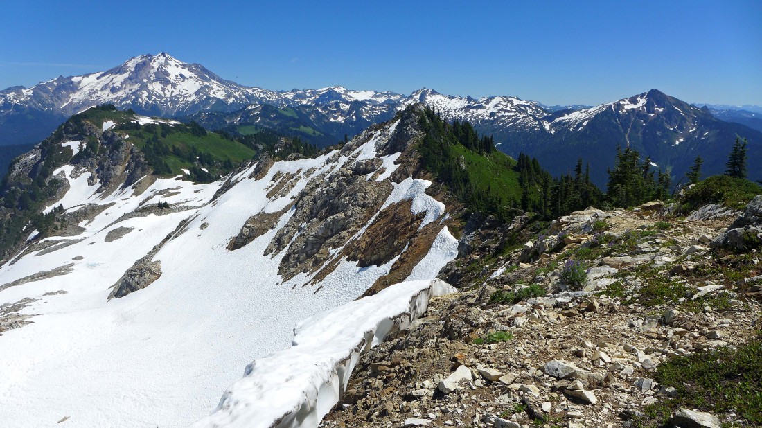
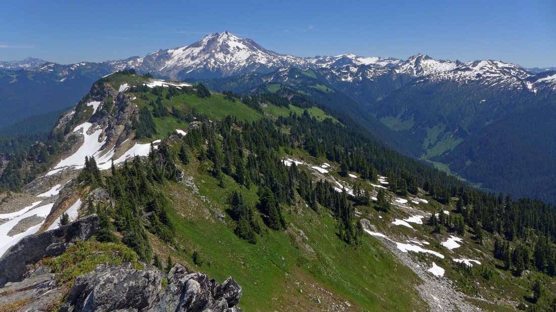
Looking back at our route... Glacier Peak and the peaks of the Painted Traverse in the distance... we are almost on the Breccia summit.
|
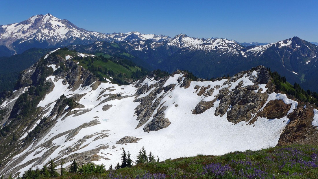
On the Breccia Peak summit (6487') now... looking at our route up the ridge... and out to Glacier Peak and the peaks of the Painted Traverse.
|
Views from the Breccia summit to Mt. Pugh on the left and White Chuck Mountain on the right... Mt. Baker on the far right horizon.
|
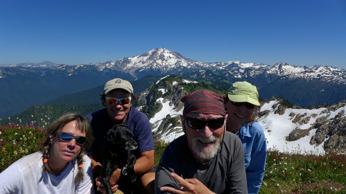
Selfie from the summit of Breccia Peak... Snowdog (left), Peak Junkie, Buster, ragman and BarbE.
|
We traced our steps back to the second lowpoint along the ridge from our summit and started heading down to Sunup Lake.
|
Sloan and Bedal dominate as we head down to Sunup Lake.
|
Flowers everywhere as we head for the lake... Mt. Pugh in the center of the photo.
|
So pretty... Sloan and Bedal in the distance.
|
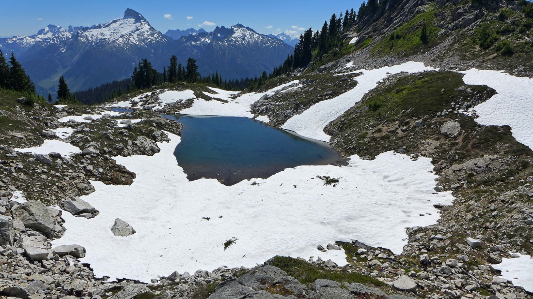
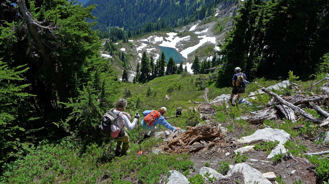
Almost down to Sunup Lake.
|
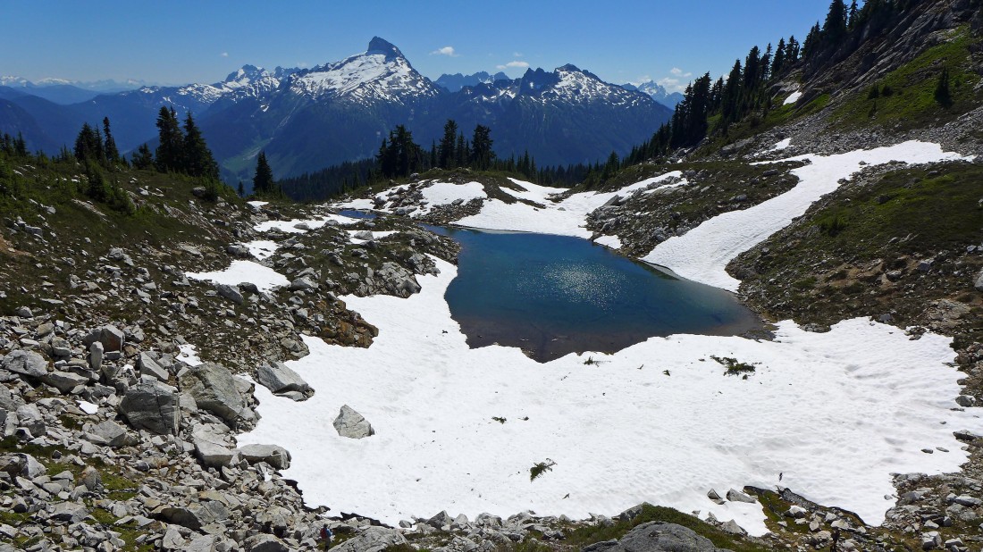
Getting closer to the lake... Izzy is already swimming.
|
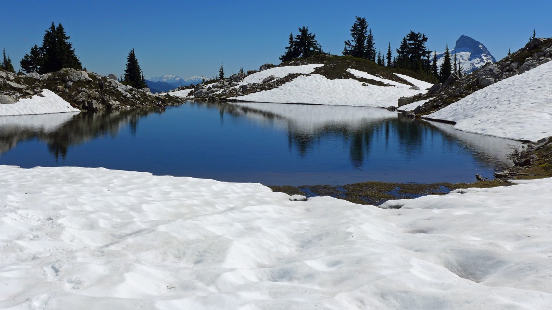
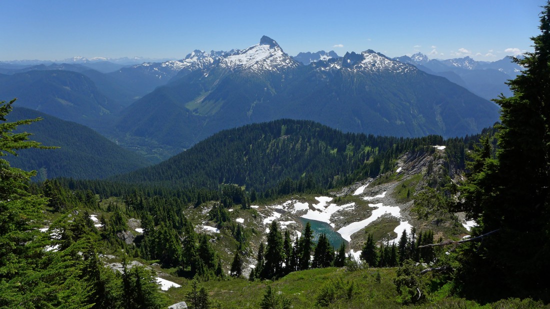
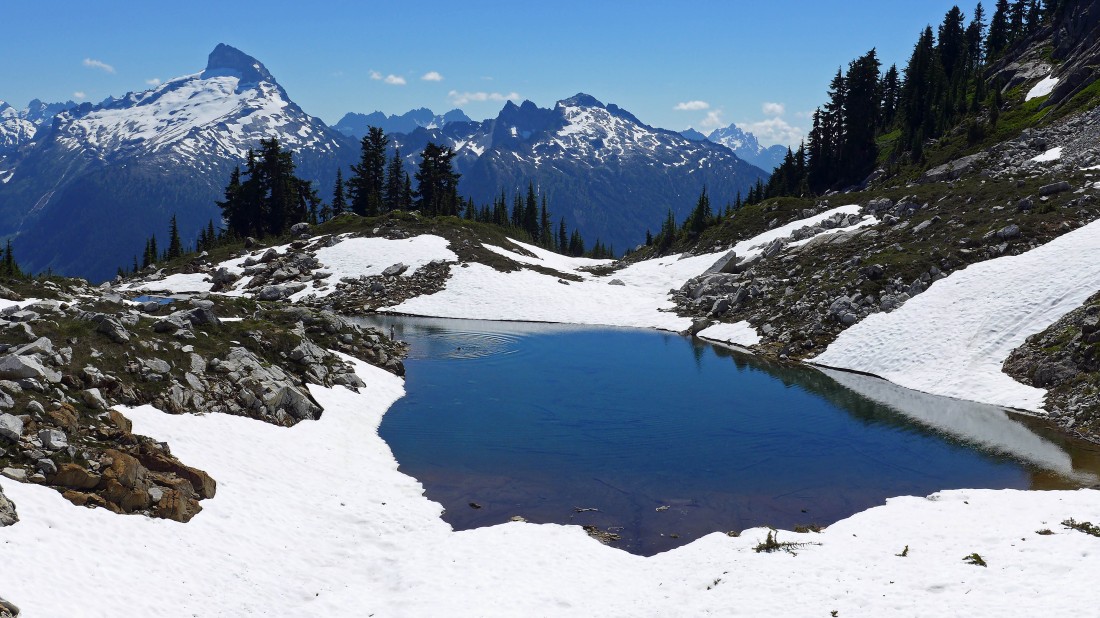
We will hang out at this beautiful place for 30-45 minutes... Mt. Daniel and Mt. Hinman in the distance through the gap on the left... with Sloan on the far right.
|
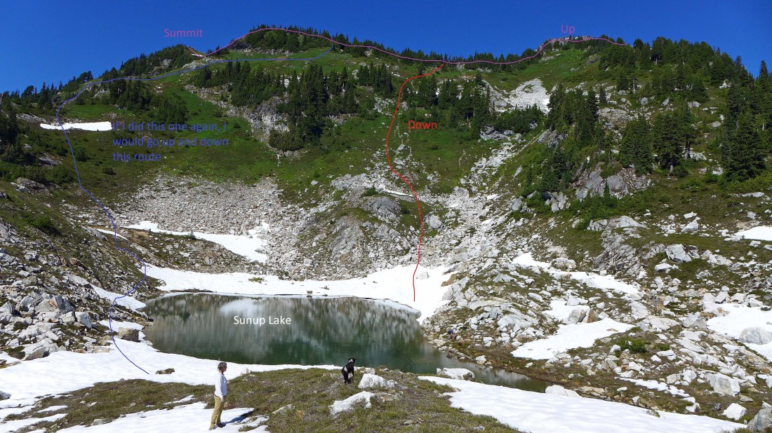
Looking back at the various routes we took... and my suggested route for any future visits by me.
|
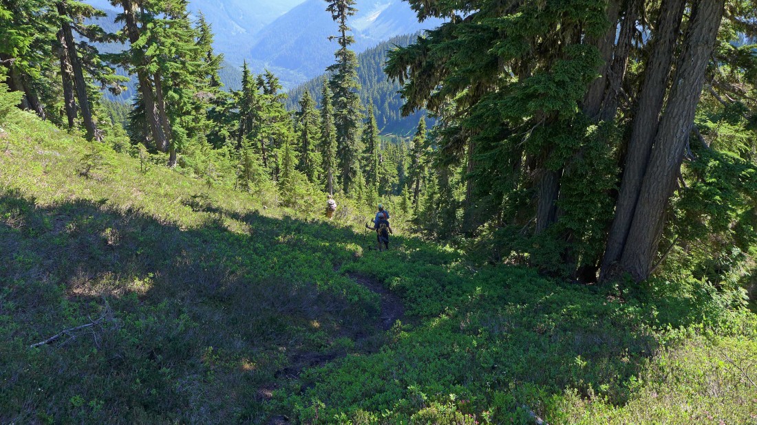
Leaving the lake we found a good path that will take us down to the main trail.
|
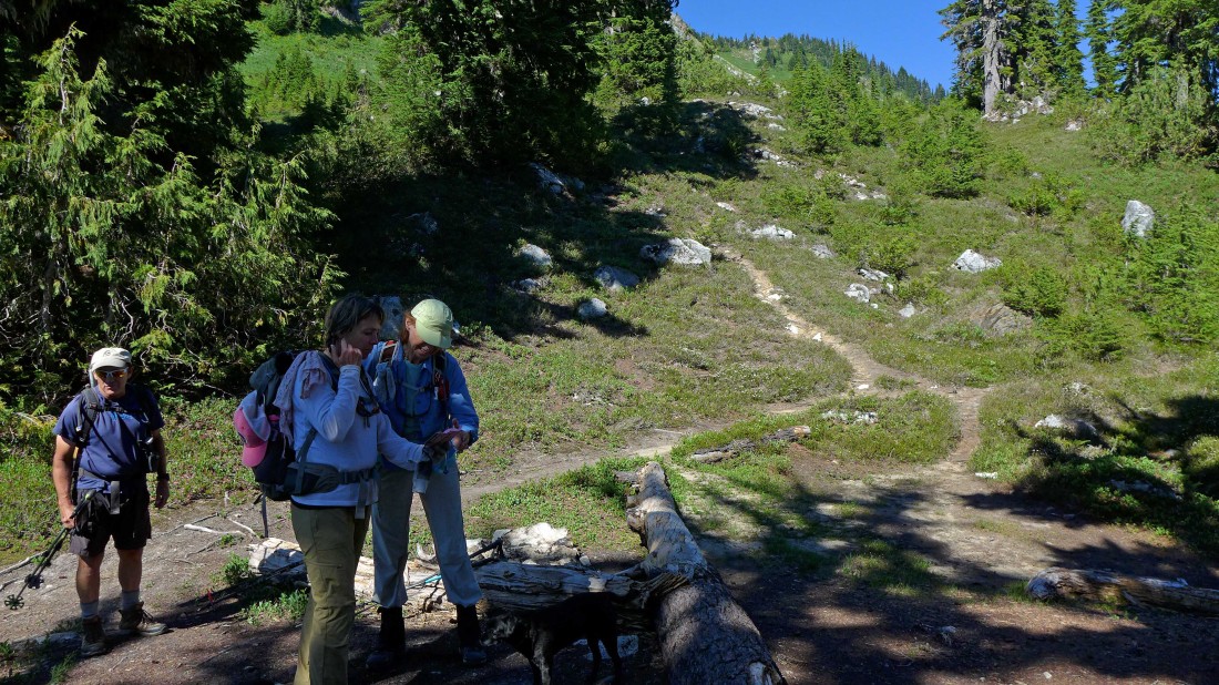
Back at the unsigned junction of the Lost Creek Ridge Trail (going off to the right in the photo) and the path leading up to Sunup Lake... we have at least a 5 mile trail hike to get us back to the car... our total trip was 11.5 miles, gaining 5009 feet of elevation.
|
