Echo Rock - 8.4.2017
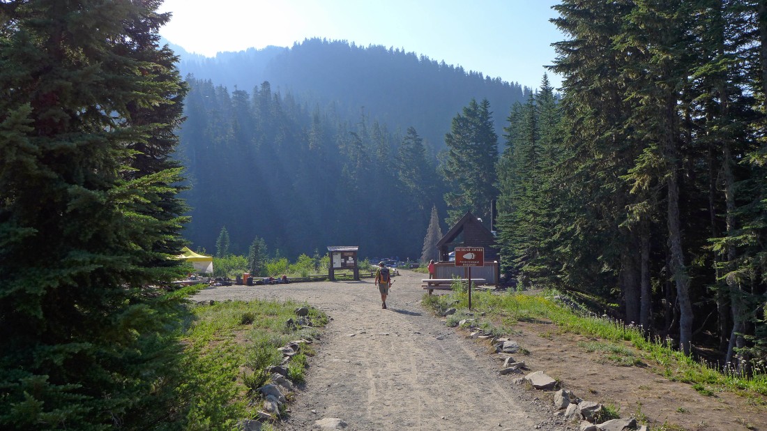
We parked at the end (4929') of the Mowich Lake Road... and here we are walking into the campground.
|
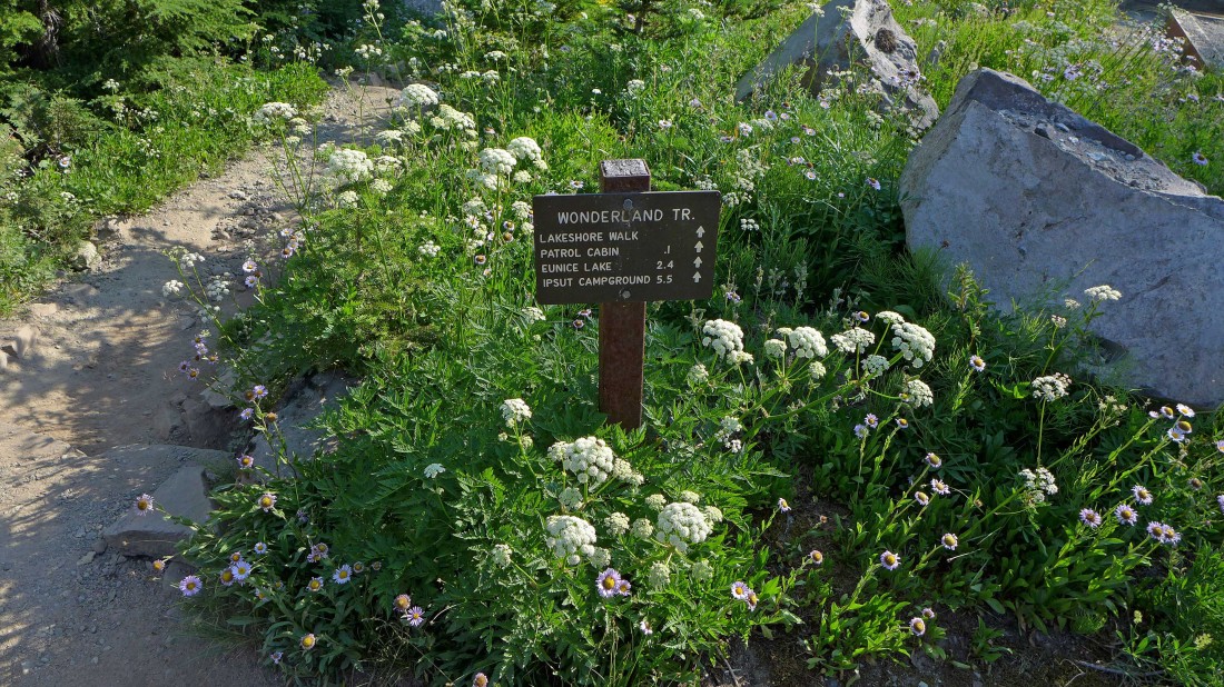
After entering the campground we turned to the left (most people go to the right and take the trail into Spray Park) and started walking on the Lakeshore Walk in the direction of the Patrol Cabin.
|
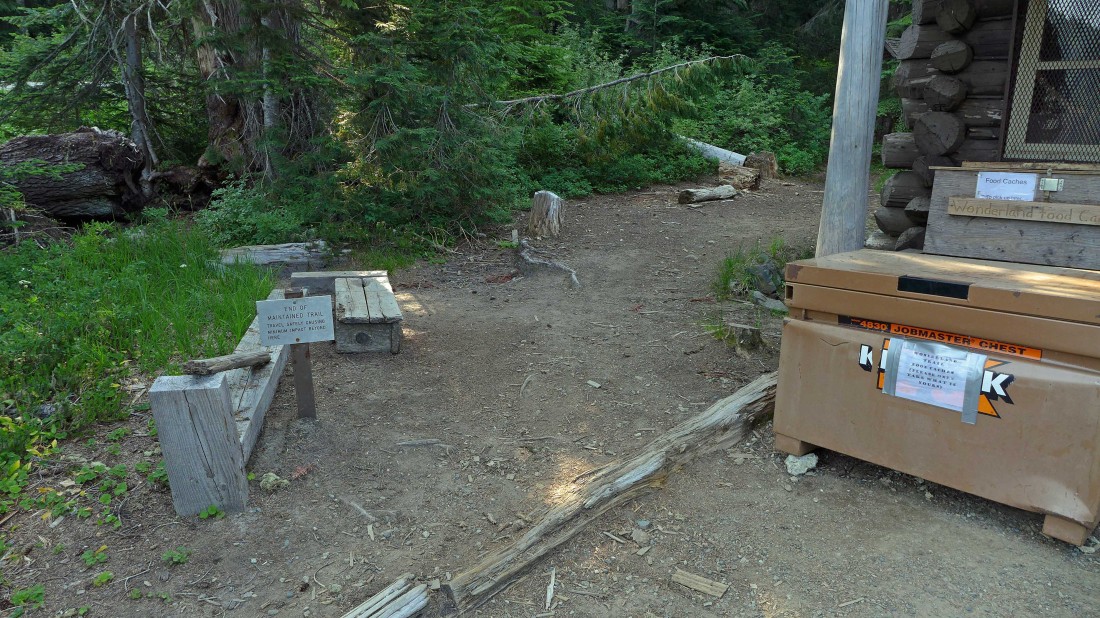
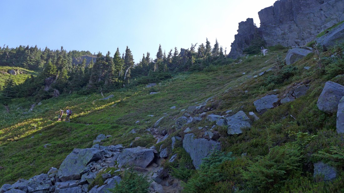
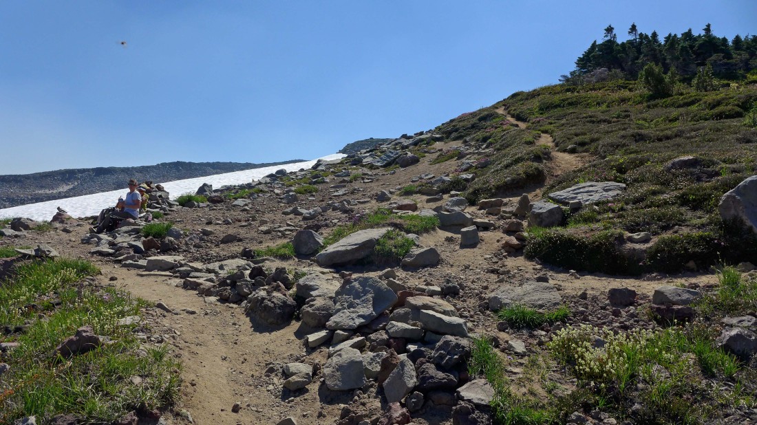
After hiking a tenth of a mile we have reached the Patrol Cabin... now we will take the 'Unmaintained' Trail behind the sign on the left and head for Knapsack Pass.
|
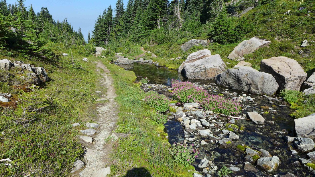
While the trail is 'unmaintained', it is still in reasonable shape in most places.
|
iraman and Snowdog near Knapsack Pass.
|
At Knapsack Pass (~6200')... looking down at Mowich Lake... and over to Fay Peak on the left.
|
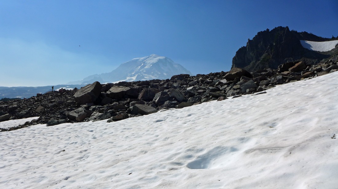
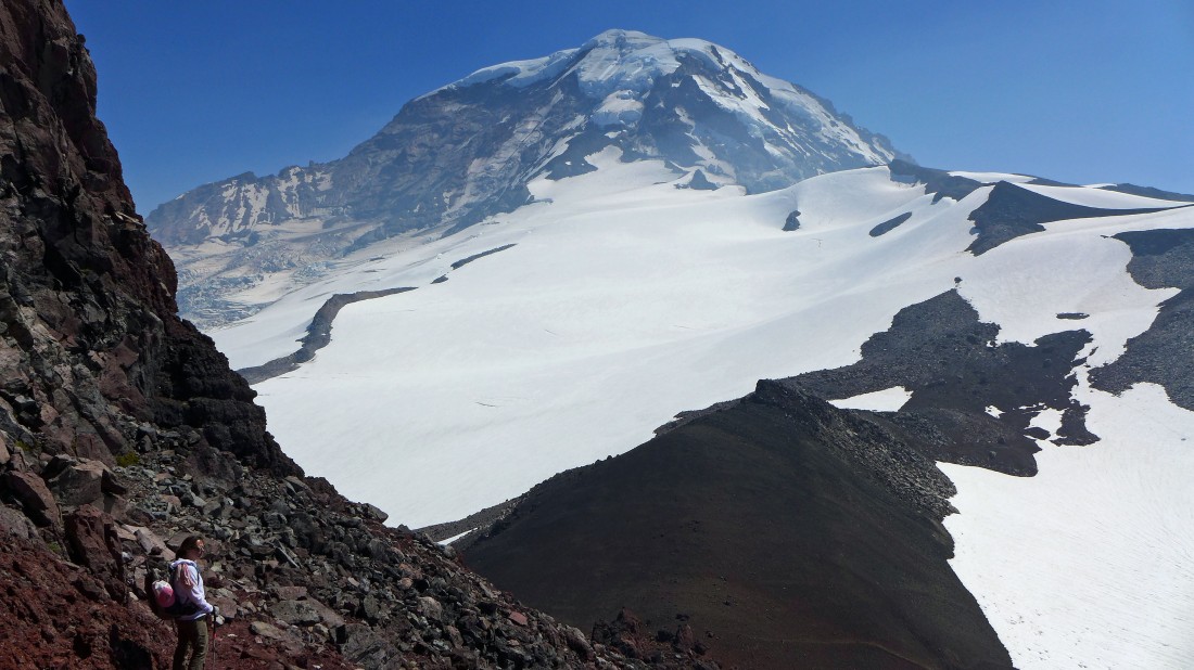
A partial view of Mt. Rainier from Knapsack Pass... the smoky haze is from a lot of wildfires in Canada.
|
Giving back 300 feet of elevation on the east side of Knapsack Pass.
|
Working our way down to the shelf on the east side of Knapsack Pass.
|
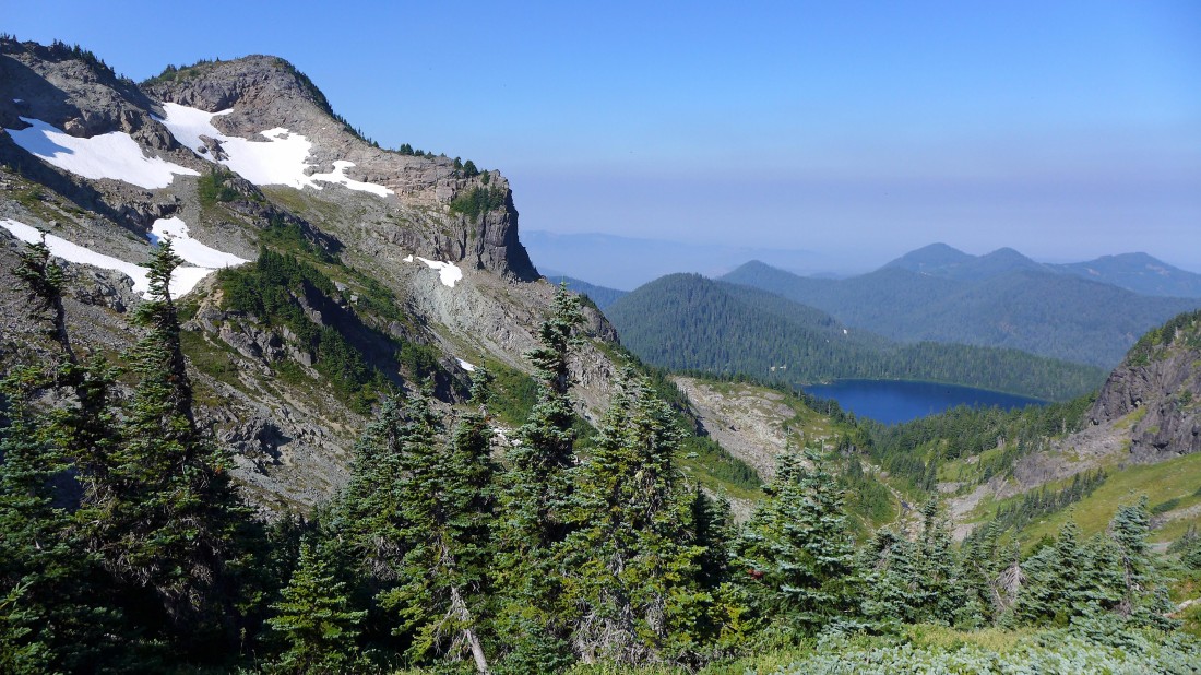
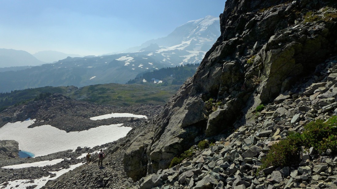
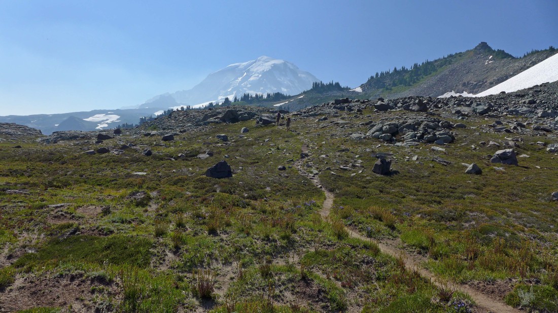
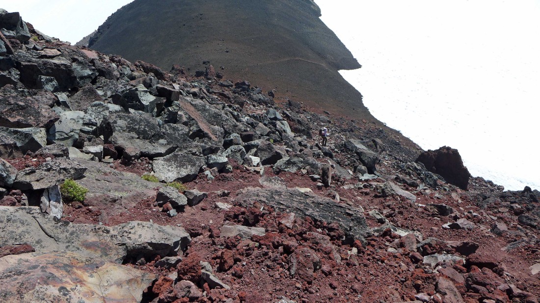
We have reached the shelf (~5900') on the east side of Knapsack Pass... cairns will lead us across a couple of boulder fields as we head in the direction of Mt. Rainier.
|
Looking back at Knapsack Pass (far left) from the shelf on the east side of the pass... First Mother Mountain is the high point in the center of the photo.
|
Crossing one of the cairned boulder fields... Mt. Pleasant is in the foreground on the far right... we will follow a good path to Pleasant's east ridge.
|
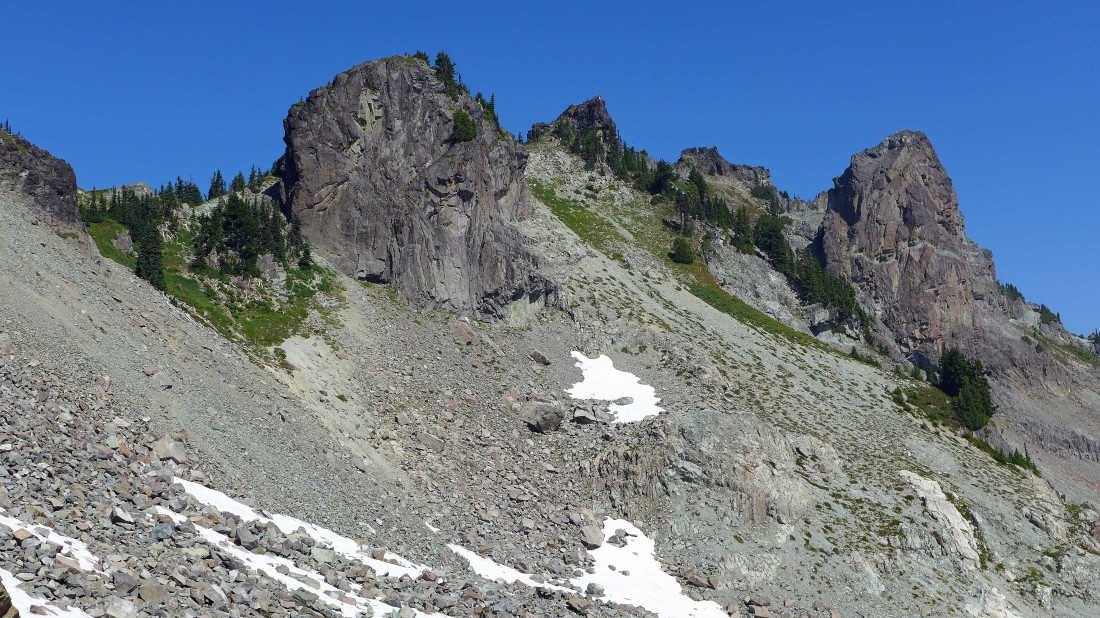
Heading for Mt. Pleasant's east ridge in the center of the photo... the summit is on the far right.
|
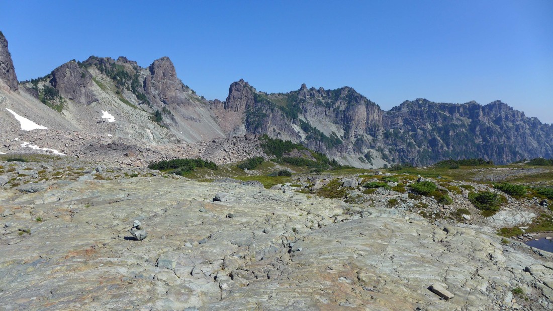
Looking back at Knapsack Pass (far left) and Mother Mountain.
|
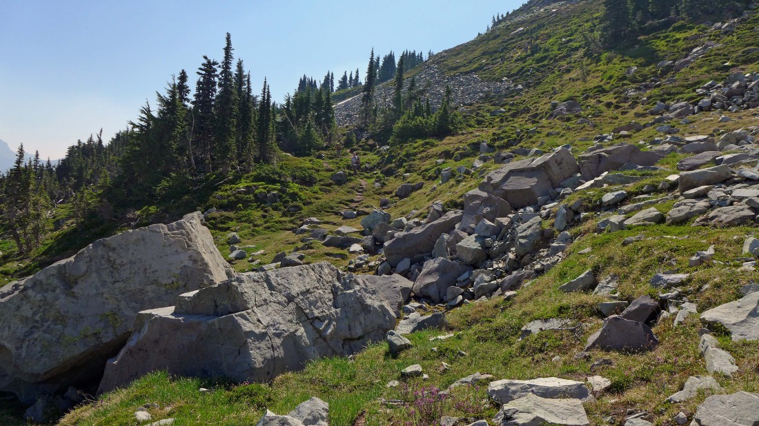
Gaining elevation on a good path as we head up to the east ridge of Mt. Pleasant.
|
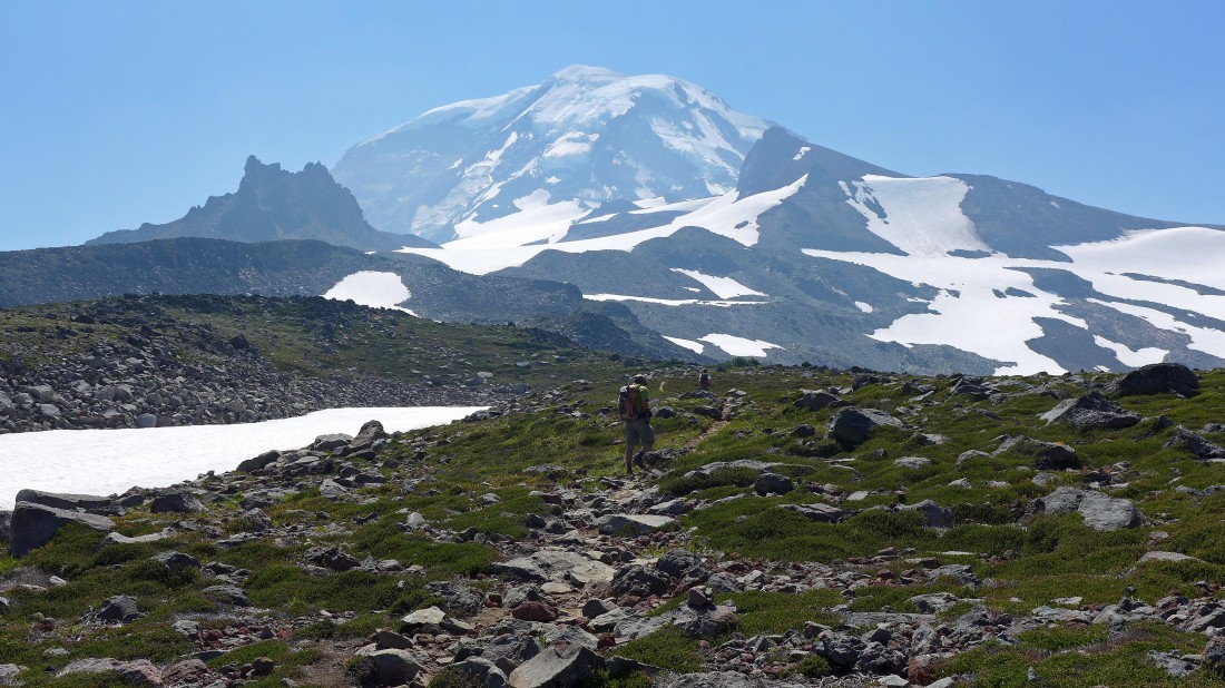
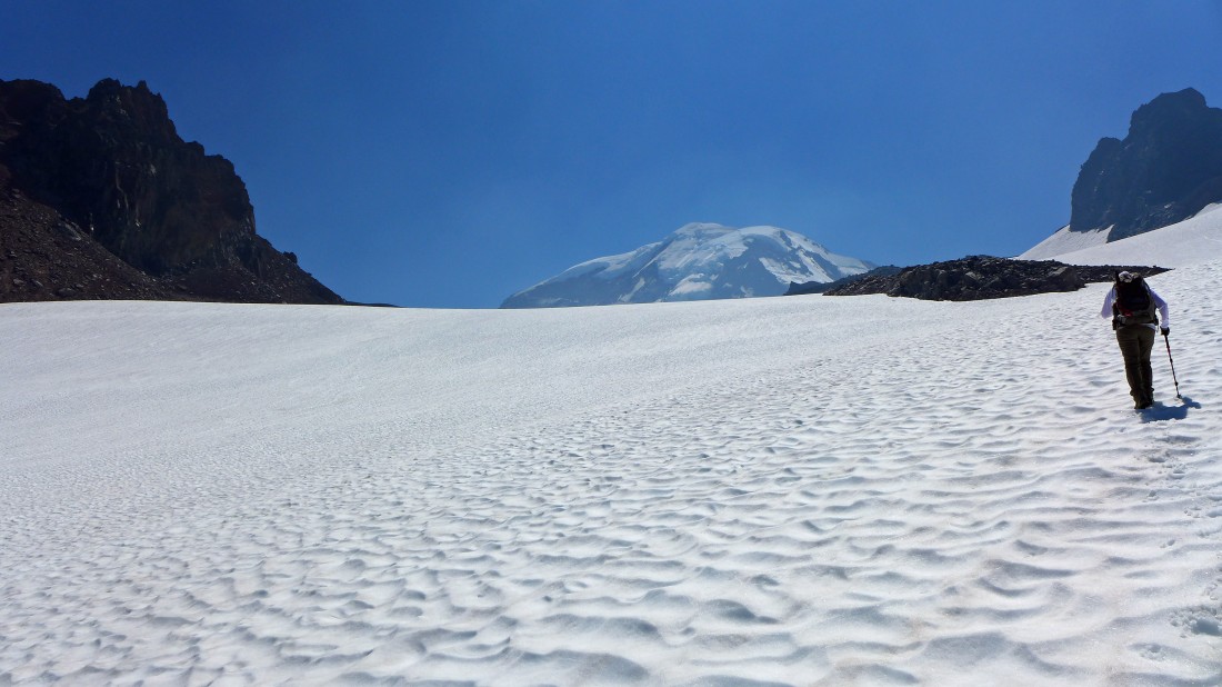
We have reached the east ridge (6160') of Mt. Pleasant and got our first good look at Mt. Rainier... time to give back 200 feet of elevation and head down to the upper part of Spray Park.
|
We gave back 200 feet of elevation and dropped into the upper part of Spray Park... still on a good path that will eventually connect to the Wonderland Trail.
|
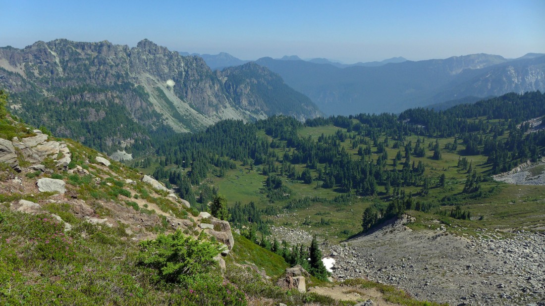
Looking down on Mist Park.
|
Looking back at Mt. Pleasant (left foreground), Knapsack Pass and the multiple summits of Mother Mountain.
|
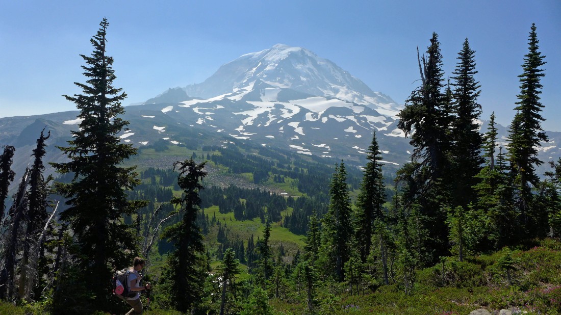
Gaining elevation on the Wonderland Trail... looking back at Hessong Rock and Mt. Pleasant in the left foreground... with Fay Peak, Knapsack Pass and Mother Mountain behind.
|
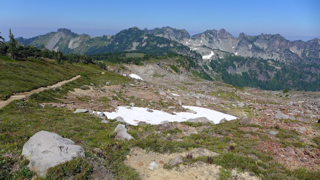
The Wonderland Trail continues to hiker's left... but we will take the nice path going up hill and to the right.
|
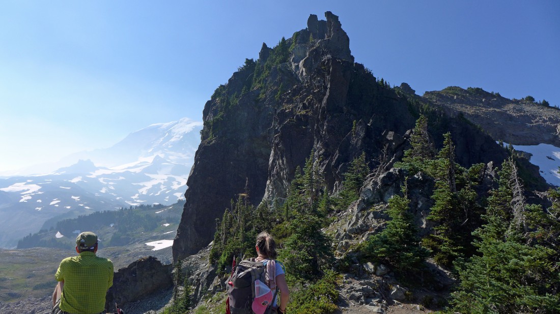
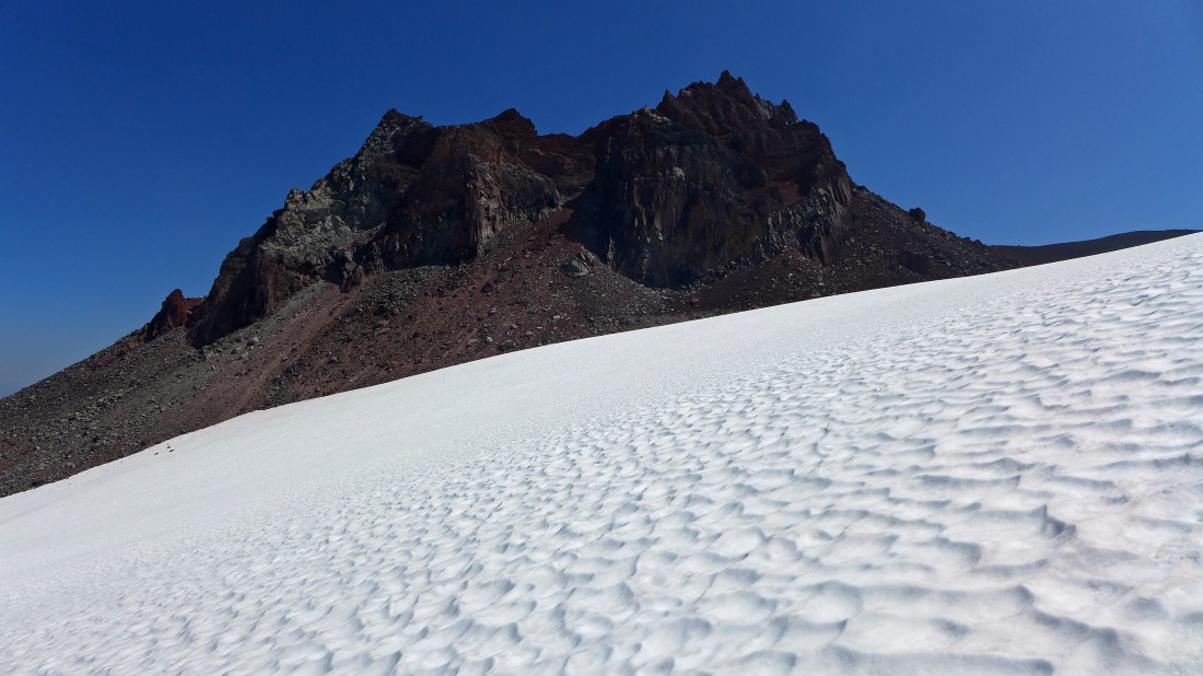
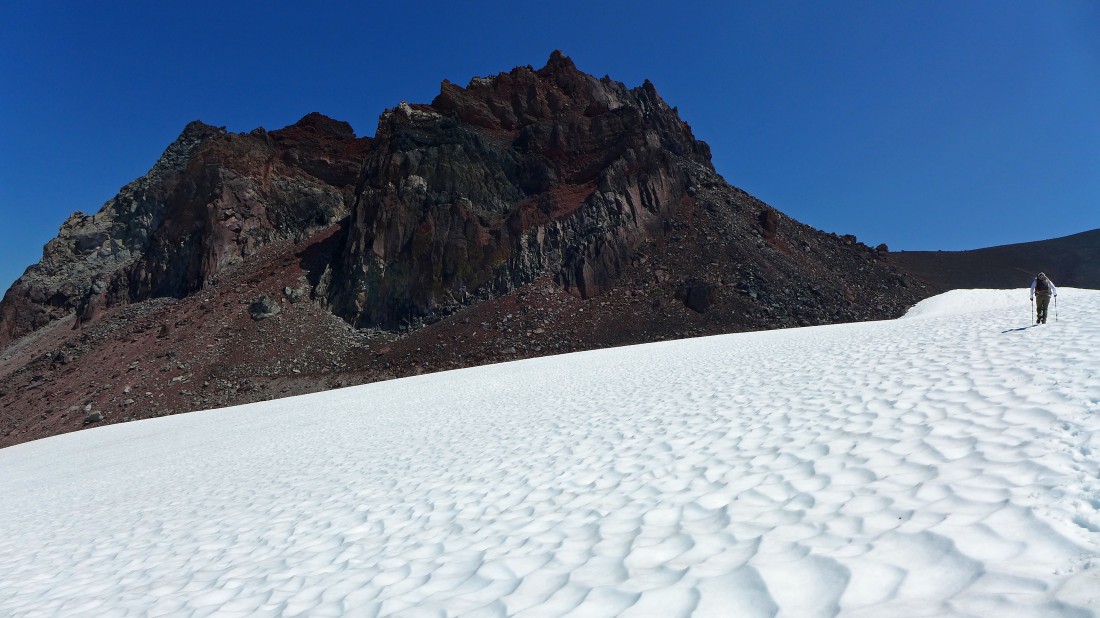
Heading for Echo Rock on the left... with Observation Rock on the right.
|
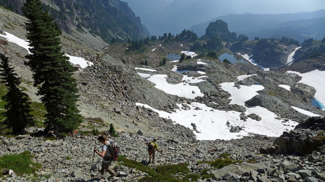
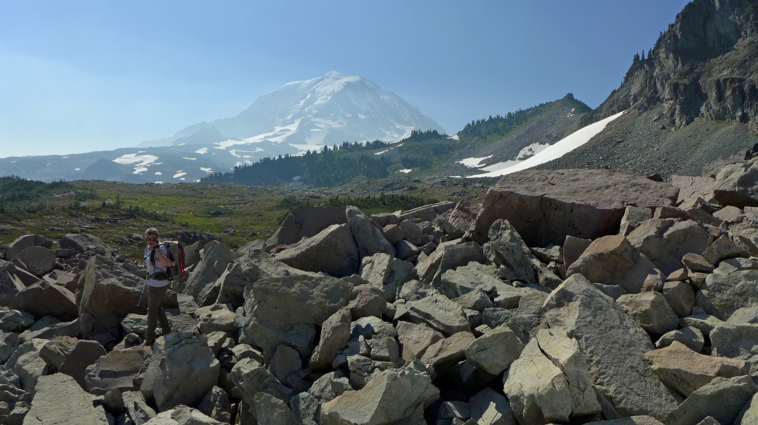
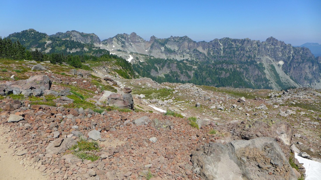
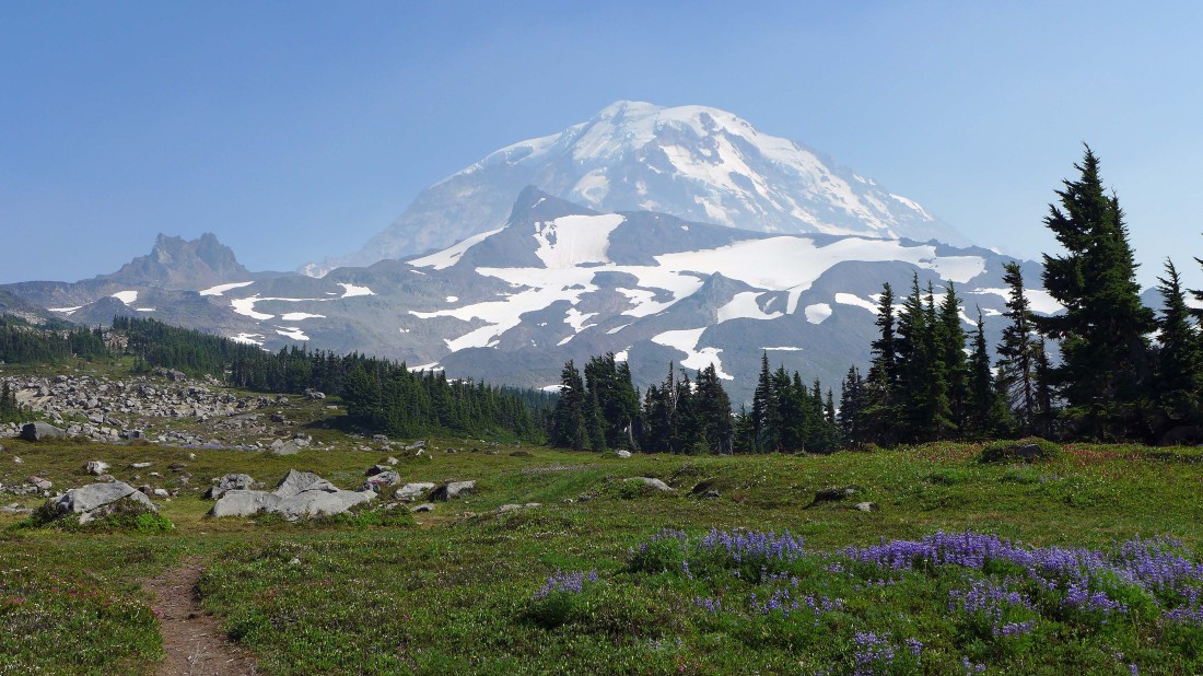
Looking back at our route... Spray Park is the green, partially treed area on the left.
|
Taking a break at a very nice back country campsite... just before getting on the Flett Glacier.
|
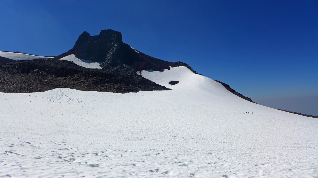
On the Flett Glacier... heading for Echo Rock on the left.
|
Heading for the easy looking terrain on the far right.
|
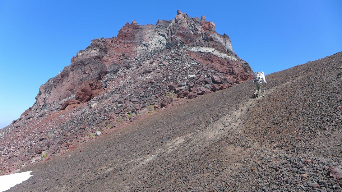
Nearing the south side of Echo Rock.
|
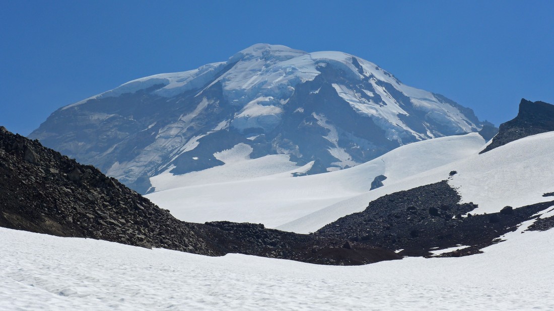
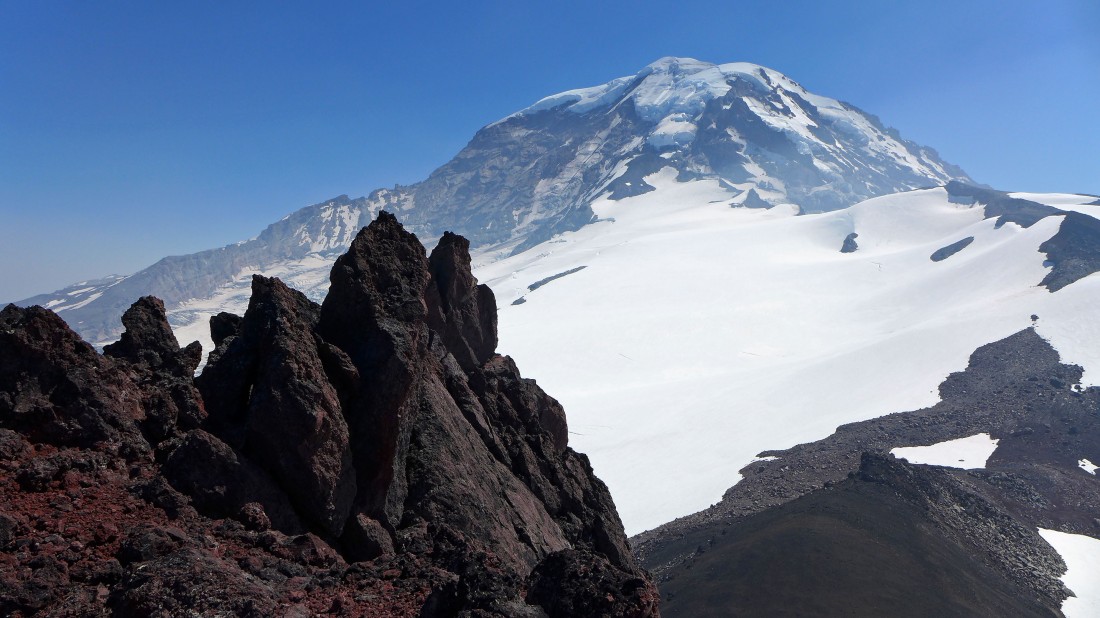
Mount Rainier as we near the south side of Echo Rock.
|
Looking over at 5 people heading for Observation Rock.
|
We found a nice path on the south side of Echo Rock.
|
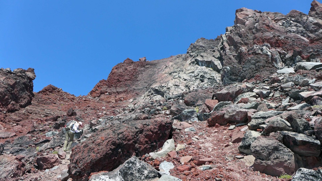
Following a path of sorts that will take us up to the base of the steep cliffs on the west side of Echo Rock.
|
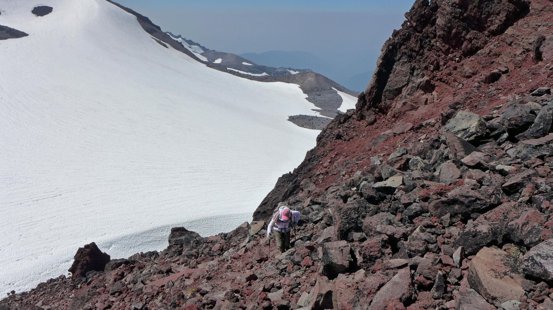
Snowdog works the path on the west side of Echo Rock... the Flett Glacier is below.
|
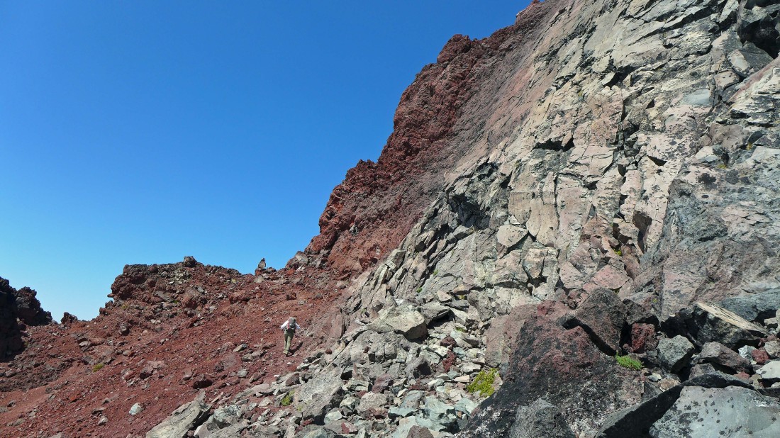
We have reached the base of the cliffs on the west side of Echo Rock... now the path is taking us over to a cairn on the skyline... where we will be on the north side of Echo Rock.
|
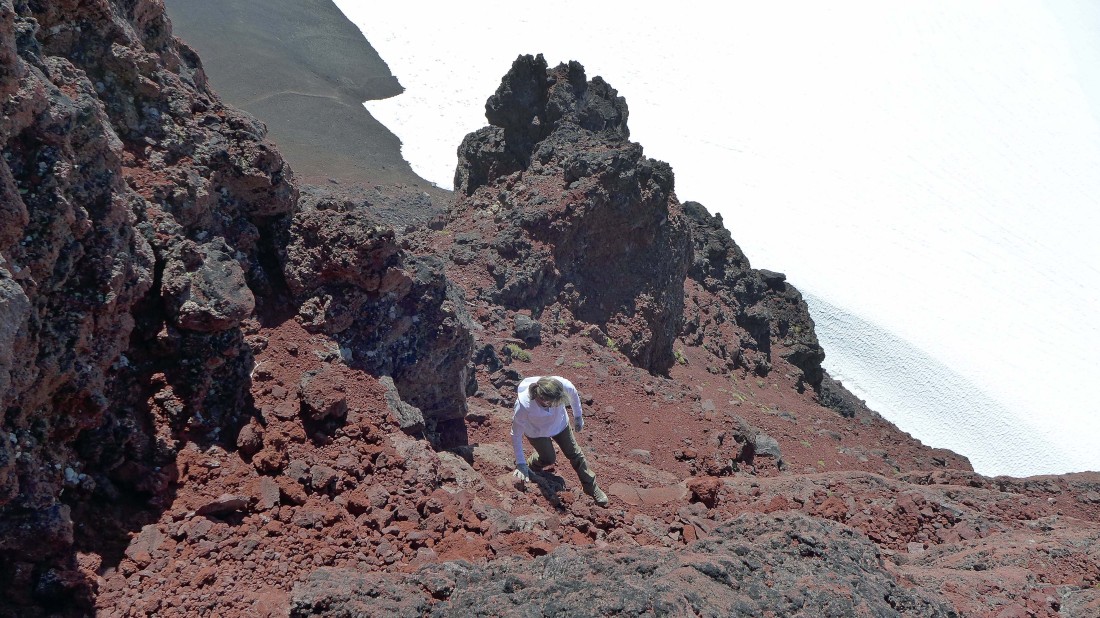
Some Class 3 climbing on loose rock on the north side of Echo Rock.
|
No room for error on the north side of Echo Rock... the Flett Glacier is below.
|
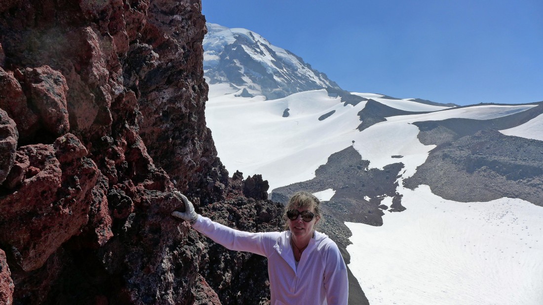
Snowdog and Mount Rainier.
|
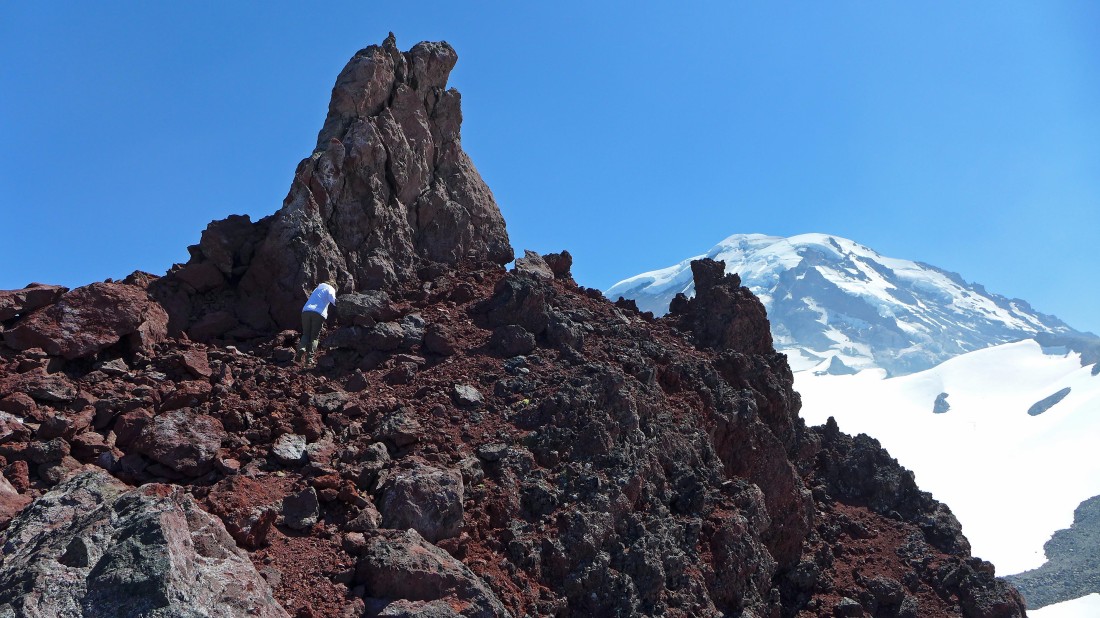
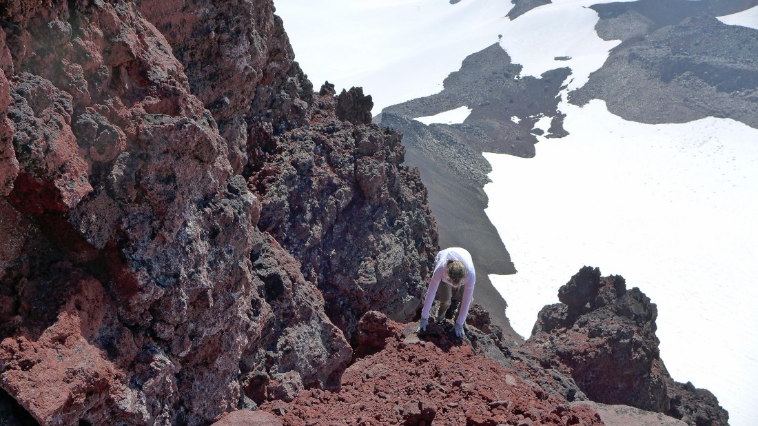
On the north side of Echo Rock... on some easier terrain as we near the summit block of Echo Rock.
|
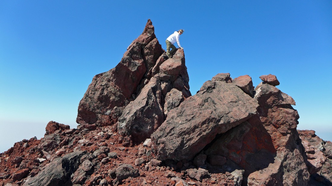
Back on the south side of the summit block... and climbing up to the summit (7870').
|
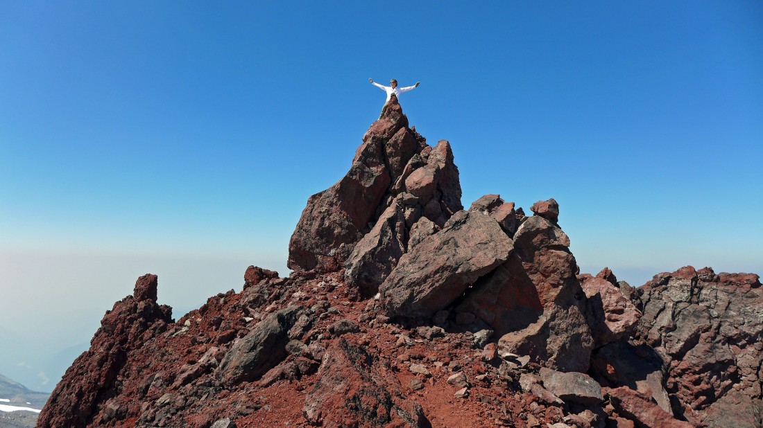
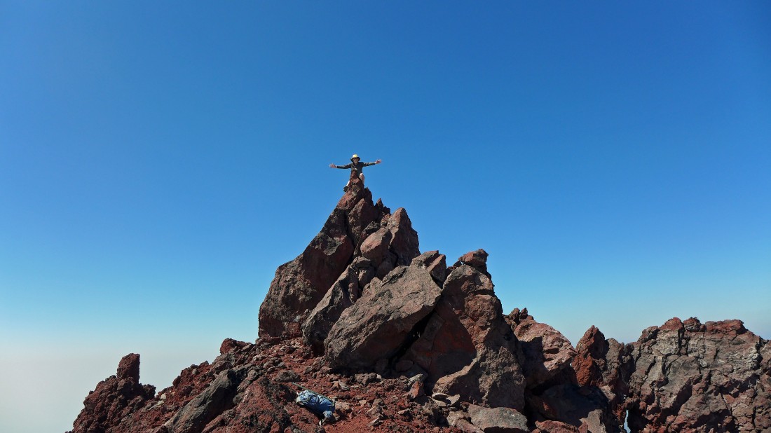
Snowdog soars like an eagle on the summit of Echo Rock.
|
A selfie as we straddle the knife-edge summit of Echo Rock.
|
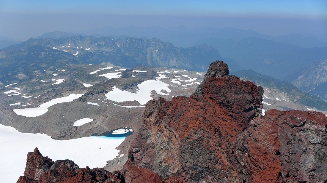
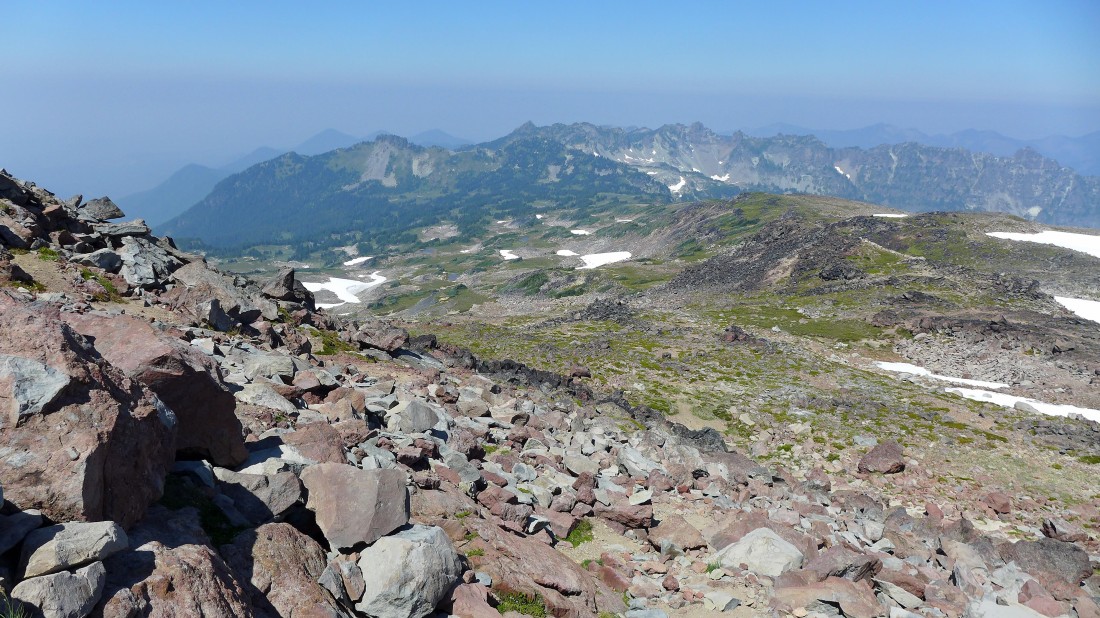
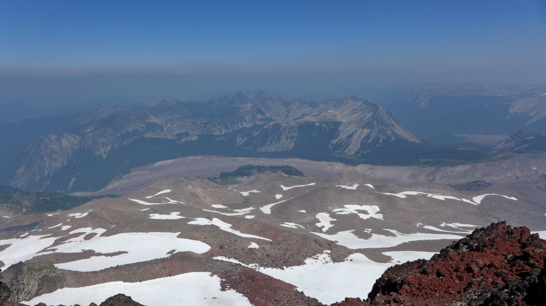
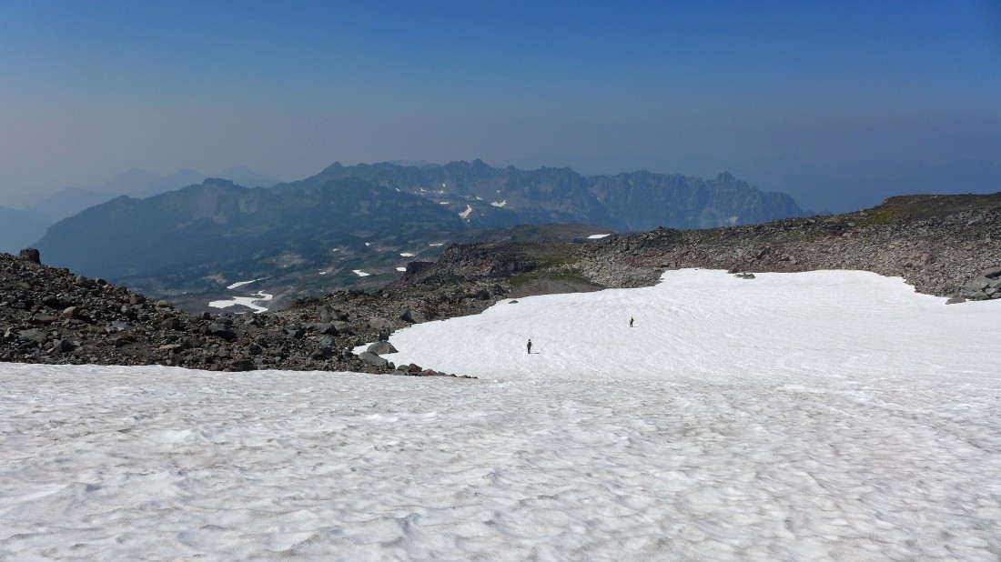
Looking down on Spray Park from the summit of Echo Rock... 3000 feet below.
|
Sometimes I can soar also.
|
Looking NE to Crescent Mountain, Sluiskin Mountain and Old Desolate.
|
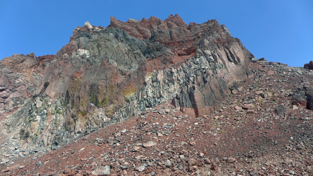
Lots of gnarly spires and towers near the summit area of Echo Rock.
|
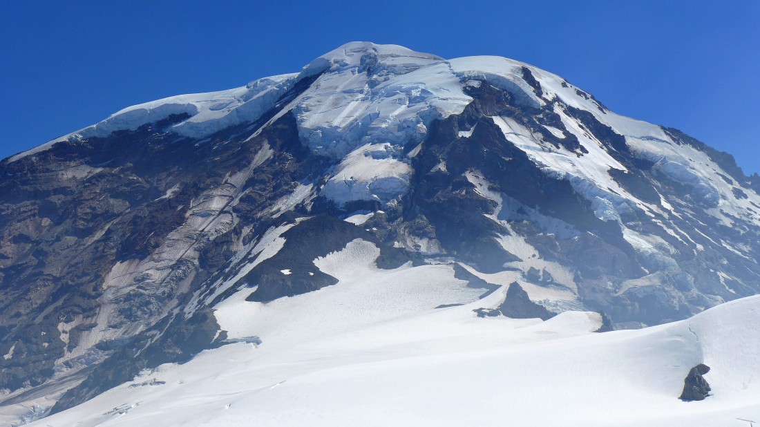
A close look at the Russell Glacier leading up to some serious looking hanging glaciers on the Liberty Cap Glacier.
|
Back down to the base of the cliffs on the west side of Echo Rock.
|
Almost off of the loose rock and back onto the Flett Glacier.
|
A closer look at the west side of Echo Rock as we head back to Spray Park.
|
We will trace our steps back to Spray Park... then follow the Wonderland Trail down through Spray Park and back to Mowich Lake.
|
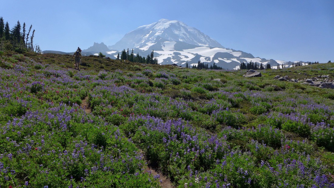
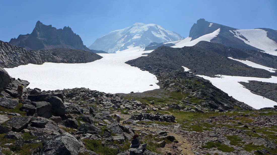
Mt. Rainier from Spray Park with Echo Rock on the far left... 4 miles of hiking on the Wonderland Trail will get us back to our car at Mowich Lake... the total trip was 11.2 miles, gaining 3868 feet of elevation.
|
