Yellow Lichen Castle and Yellow Lichen Towers - 8.10.2017

After driving FS-4330 for 7.6 miles and Road 301 for 2.5 miles we parked here at the junction with Road 302. Road 301 goes slightly downhill here and eventually ends up at Gallagher Head Lake... but we will go uphill on Road 302.
|
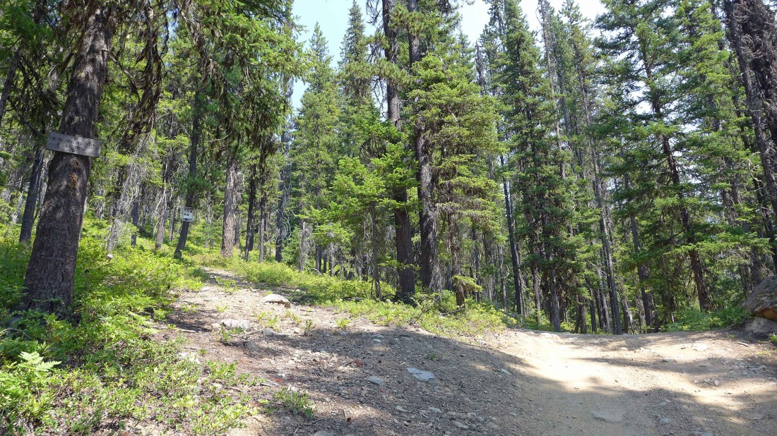
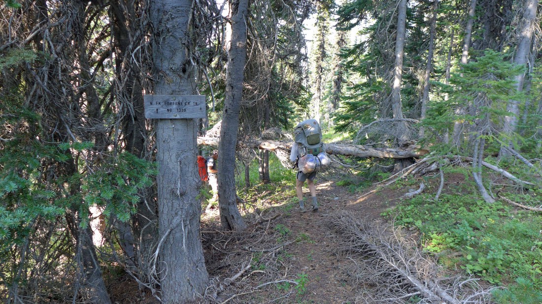
After walking Road 302 for a half-mile we have arrived at the junction with the N. Fork Fortune Creek Trail #1339... but we decided to continue hiking on Road 302.
|

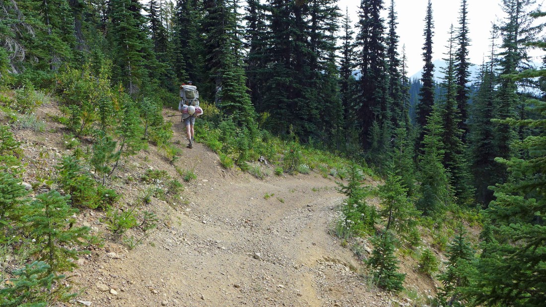
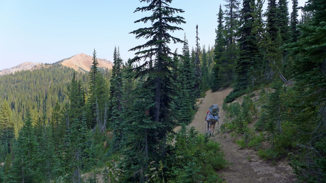
At ~5300 feet we left Road 302 and took Road 303... as we wind our way up toward Van Epps Pass.
|
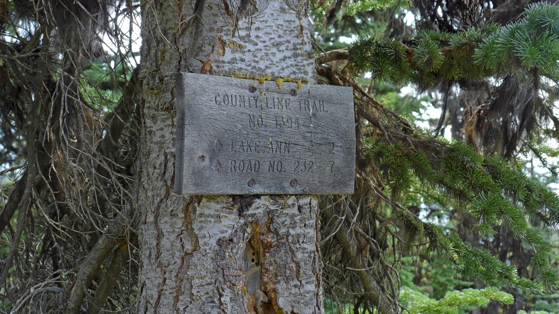
We came up Road 303 from the right and at ~5830 feet we have found County Line Trail #1226.2 that is shared with Esmeralda Basin Trail #1394.
|
Heading for Lake Ann on Esmeralda Basin Trail #1394... the sign says 2 miles to the lake, but the mileage is much closer to 1.5 miles.
|
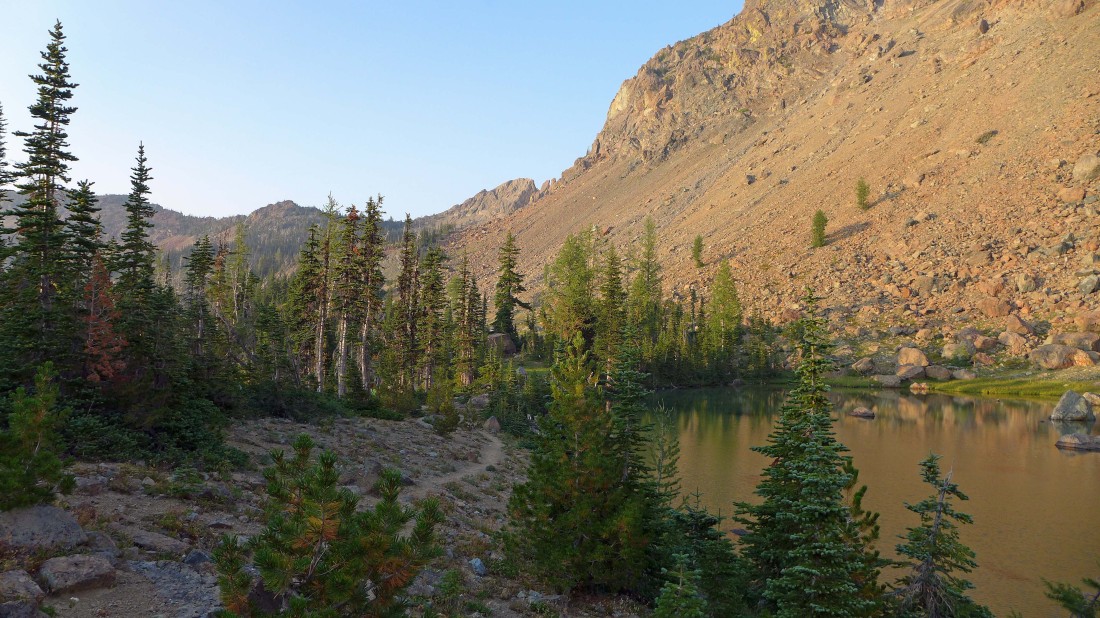
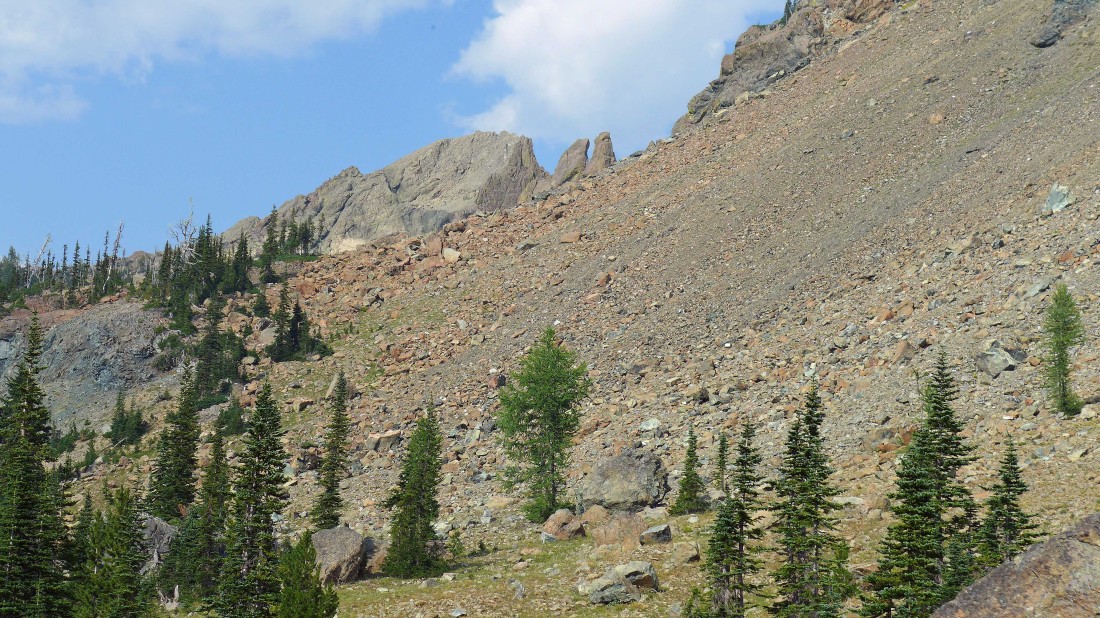
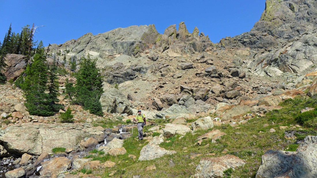
Setting up camp at Lake Ann after hiking a total of 4.7 miles... we can see Yellow Lichen Castle and two of the Yellow Lichen Towers on the ridge in the center of the photo.
|
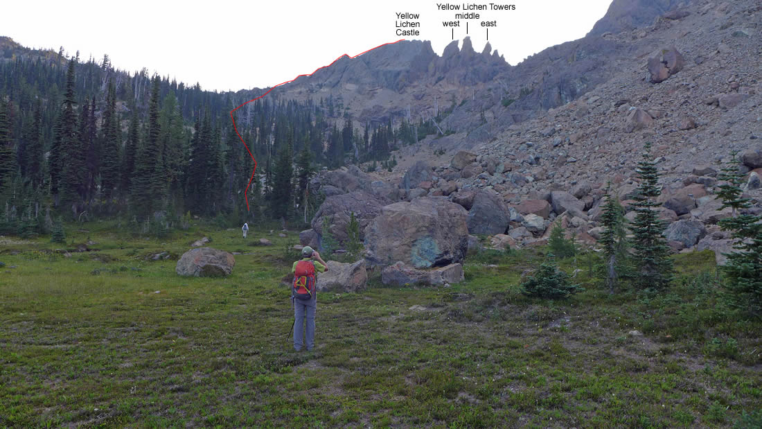
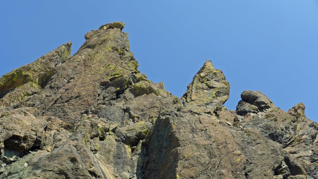
A closer look at Yellow Lichen Castle and the west and middle towers of Yellow Lichen Towers.
|
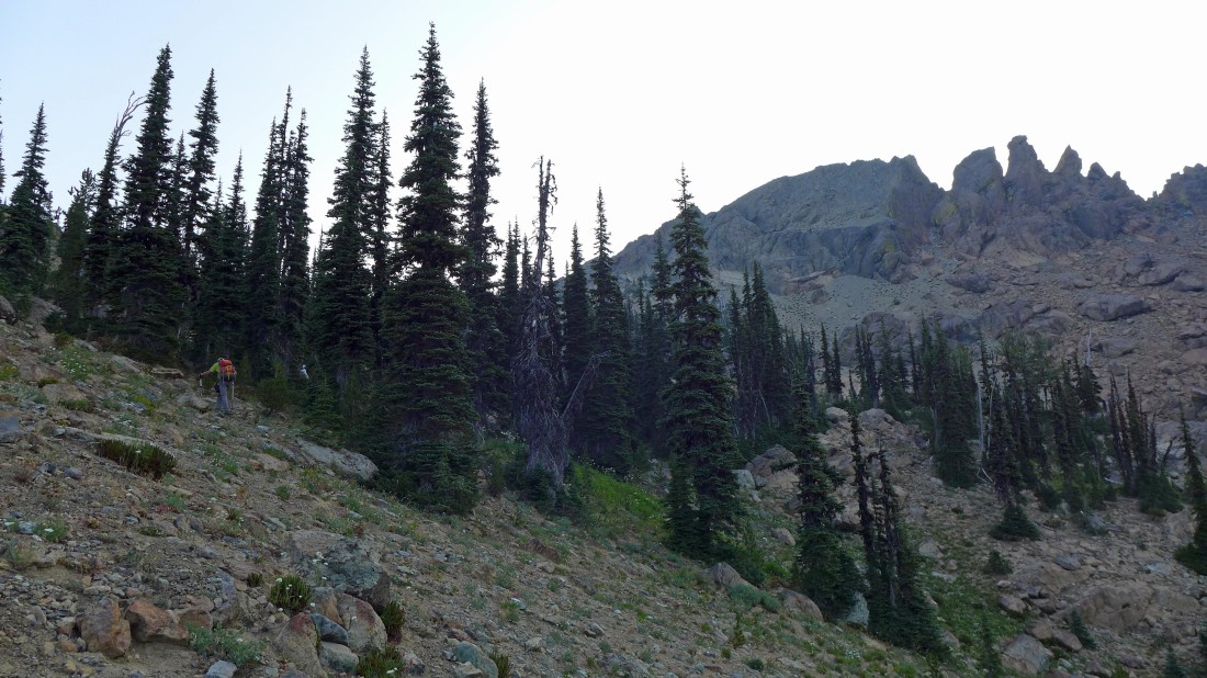
Up bright and early on day two... and heading for the castle and towers.
|
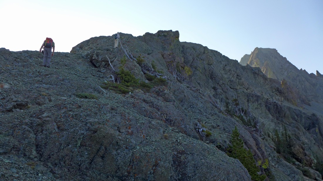
Working our way up to the NW ridge of Yellow Lichen Castle.
|
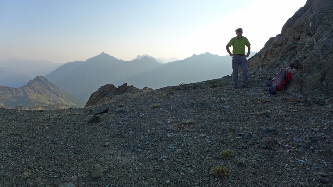
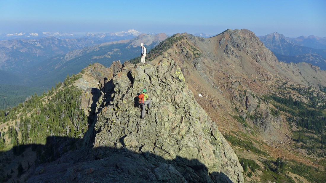
iraman on the NW ridge of Yellow Lichen Castle... with Jack Ridge, Eightmile Mountain and Cashmere Mountain in the distant haze.
|
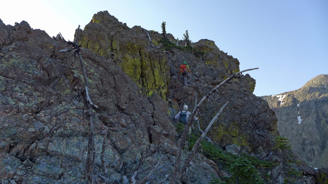
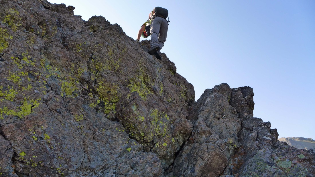
Scrambling the NW ridge of Yellow Lichen Castle.
|
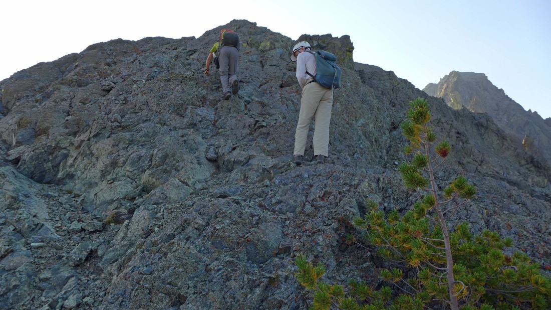
Scrambling the NW ridge of Yellow Lichen Castle.
|

Scrambling the NW ridge of Yellow Lichen Castle... there were a few ups and downs along the ridge.
|
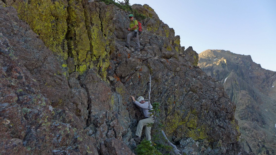
Scrambling the NW ridge of Yellow Lichen Castle.
|
Scrambling the NW ridge of Yellow Lichen Castle.
|
Scrambling the NW ridge of Yellow Lichen Castle.
|
Scrambling the NW ridge of Yellow Lichen Castle.
|
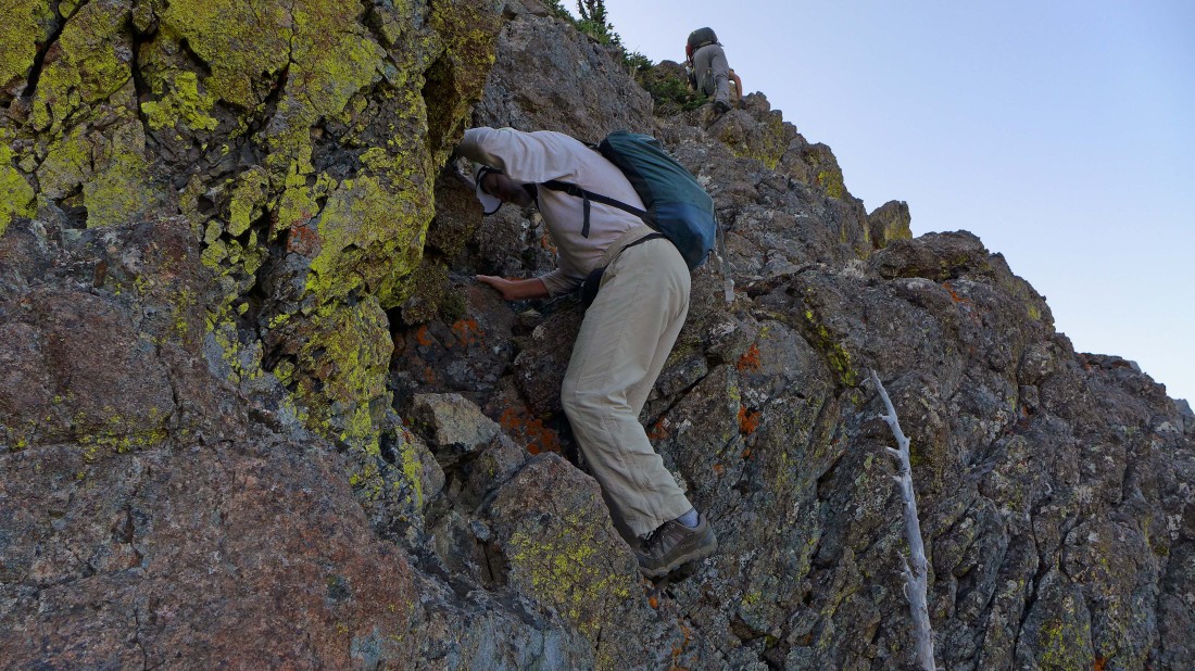
Scrambling the NW ridge of Yellow Lichen Castle.
|
Scrambling the NW ridge of Yellow Lichen Castle... almost on the summit.
|
rocman and iraman reach the summit (my GPS said 7014 feet) of Yellow Lichen Castle... the three summits of Ingalls Peak are on the skyline.
|
The Yellow Lichen Towers are somewhere along the ridge below.
|
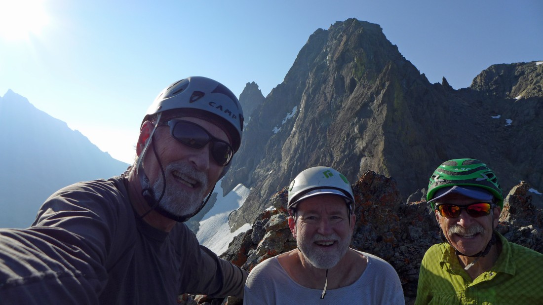
A selfie from the summit of Yellow Lichen Castle... ragman, rocman and iraman... Mt. Stuart is in the haze on the far left.
|
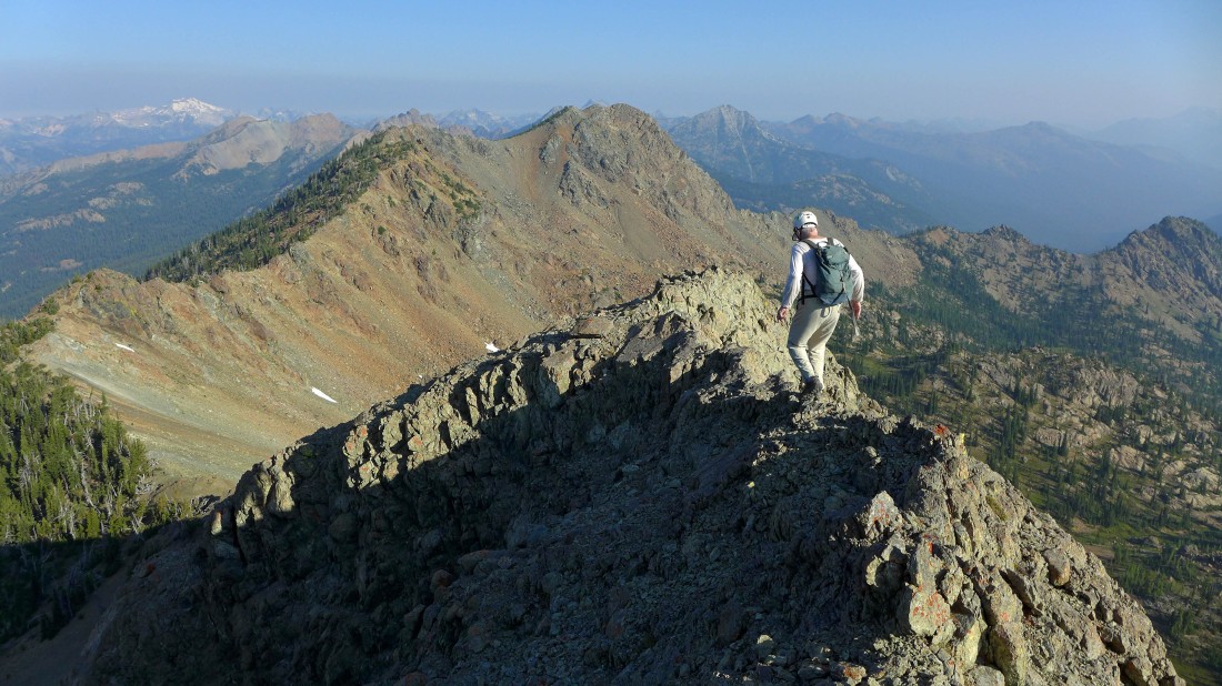
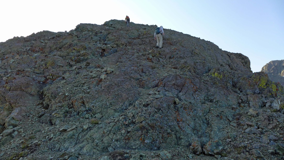
Heading down from the summit of Yellow Lichen Castle... Van Epps Peak is in the center foreground... with Mt. Daniel the distant snowy one on the left horizon.
|
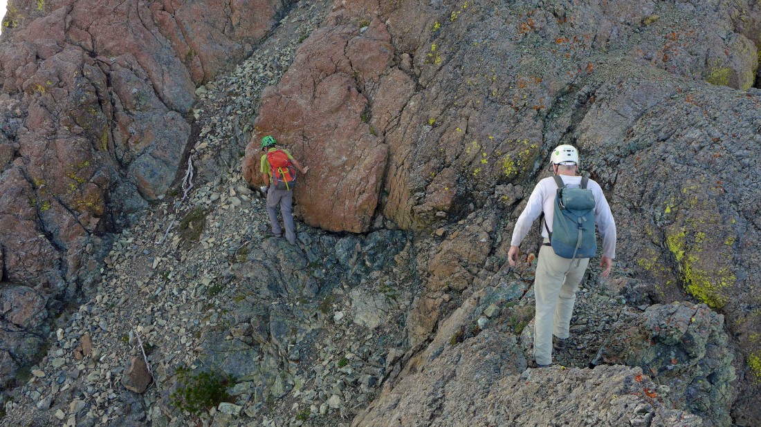
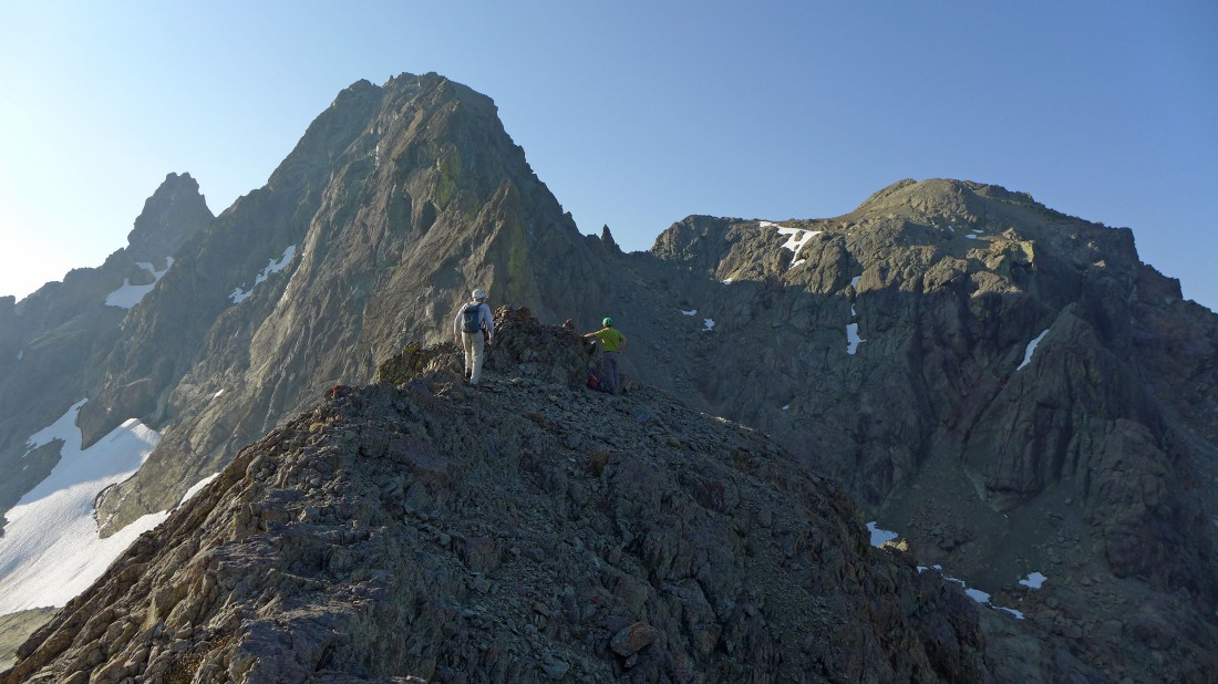
Dealing with one of the ups and downs on the NW ridge of Yellow Lichen Castle.
|
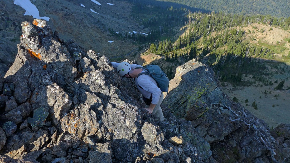
Down climbing the NW ridge of Yellow Lichen Castle.
|
Down climbing the NW ridge of Yellow Lichen Castle.
|

Down climbing the NW ridge of Yellow Lichen Castle.
|
Down climbing the NW ridge of Yellow Lichen Castle.
|

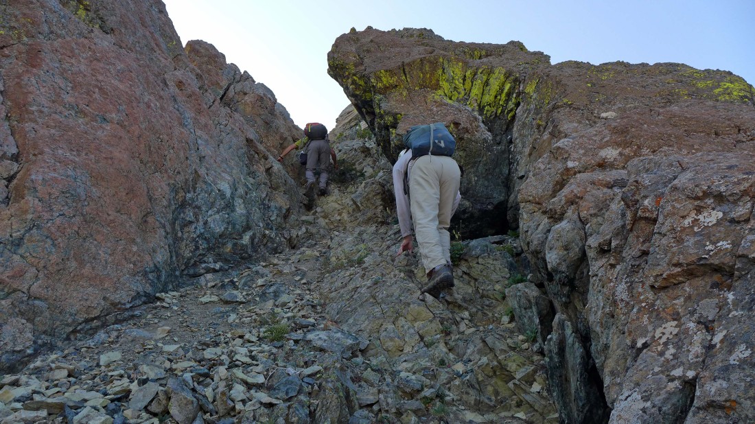
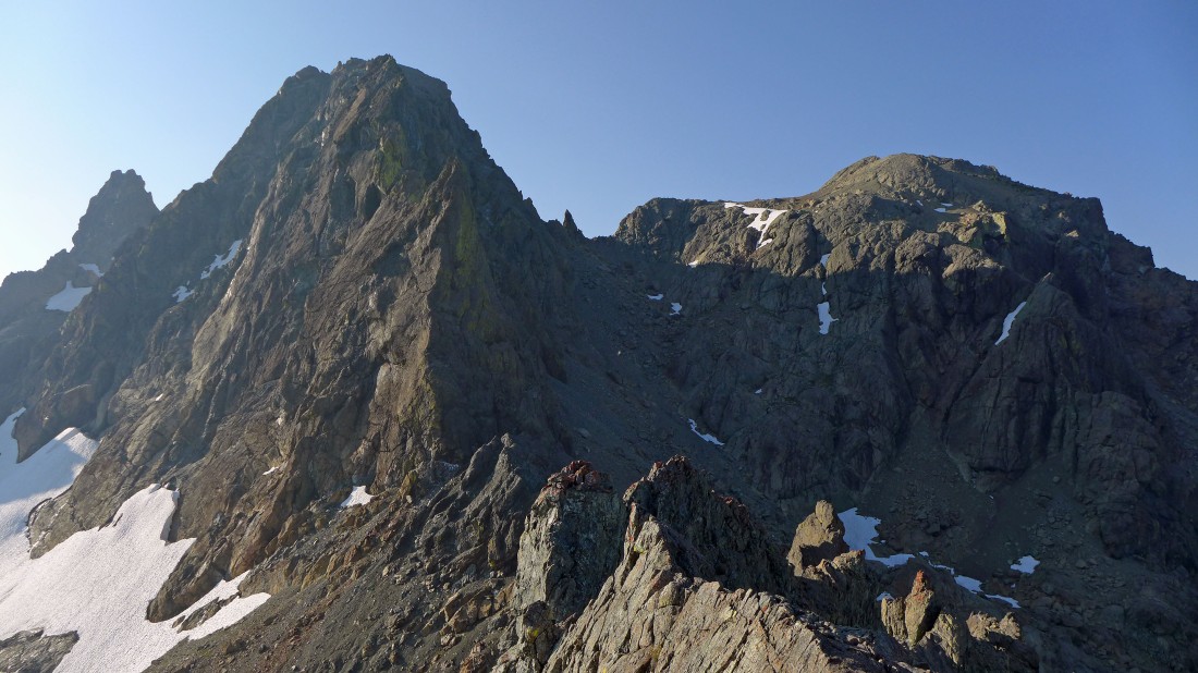
We are off of the NW ridge of Yellow Lichen Castle and traversing over to the Yellow Lichen Towers... with the north and south summits of Ingalls Peak on the skyline... and the Dogtooth Crags in the saddle between the two summits.
|

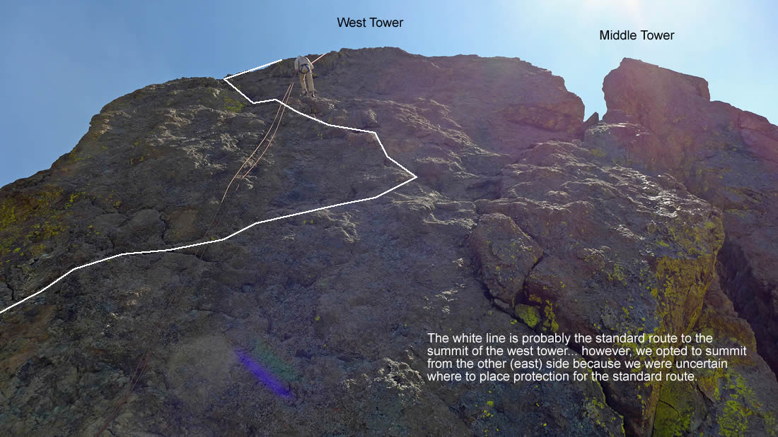
Doing a little recon on the west tower of Yellow Lichen Towers... and the approach we decided on.
|
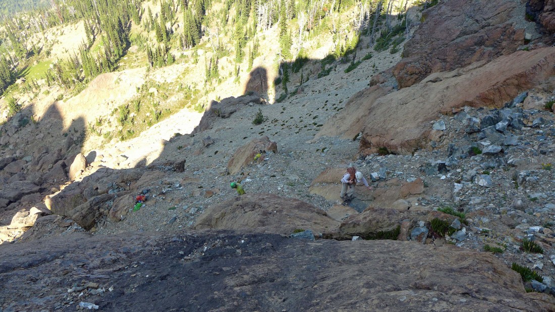
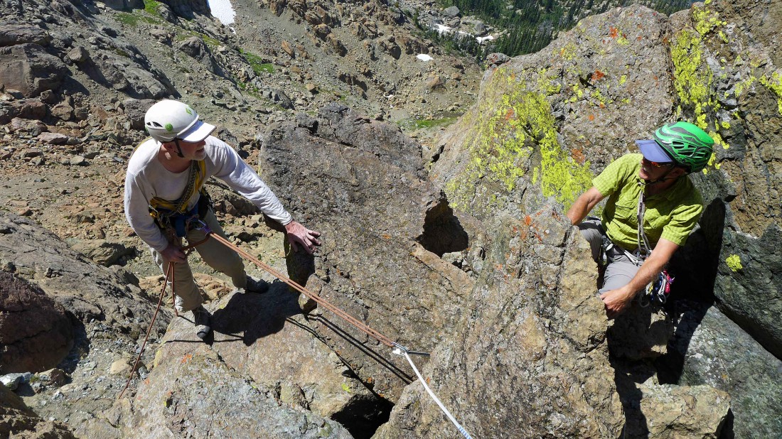
rocman gets the rope and will bring it up to the base of the chockstone.
|

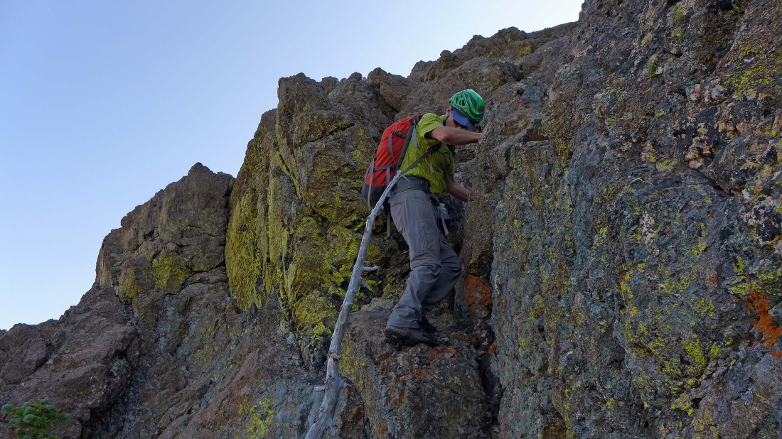
iraman works his way around the Class 3/4 chockstone.
|

At the notch between the west tower on the right and the south end of Yellow Lichen Castle on the left.
|

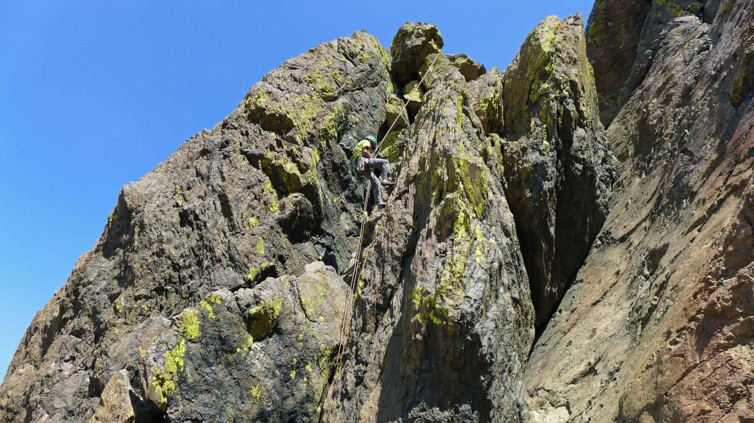
iraman has gone through the notch in the previous photo and is on the east side of the west tower looking at a Class 5.5 crack that will put us on the summit... Mt. Stuart in the distance on the left.
|
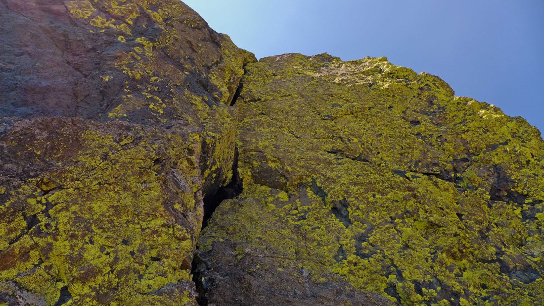
The 20 foot Class 5.5 crack that will put us on the ridge of the west tower... then a fairly short and easy (though exposed) scramble to the summit.
|
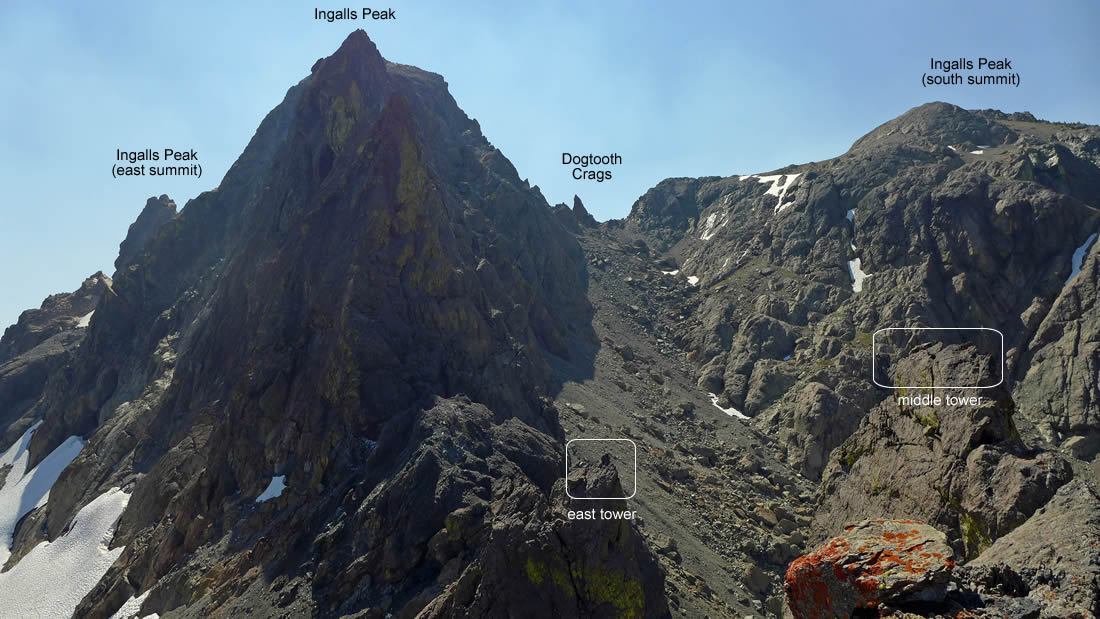
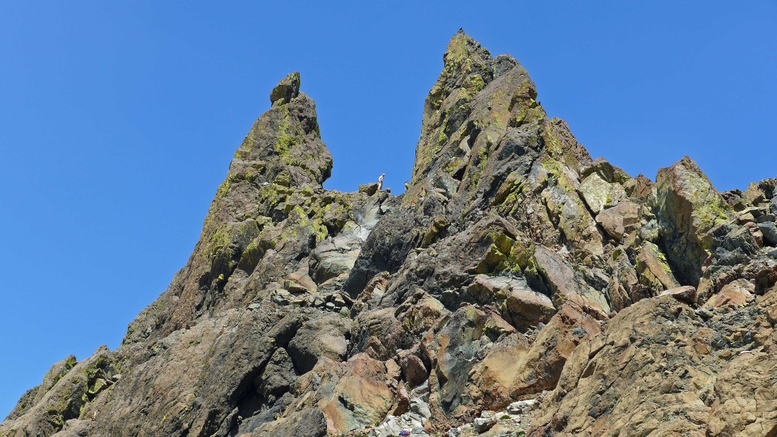
A look at the east and middle towers of Yellow Lichen Towers from the summit (6965 feet on my GPS) of the west tower.
|
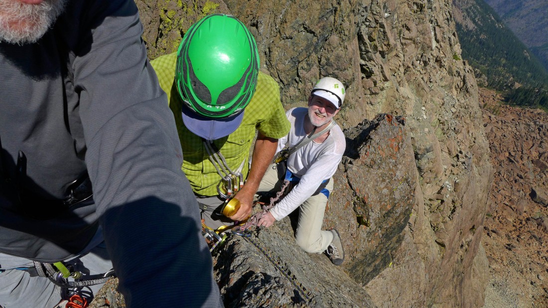
Tight quarters on the summit of the west tower... my attempt at a selfie was only partially successful.
|
rocman rappells down from the summit of the west tower.
|
rocman gets ready to begin the second rappel.
|
iraman on the second rappel down the west tower.
|

I decided to call it a day after getting down alive from the west tower... and will watch rocman and iraman do the easier east tower.
|
rocman and iraman in the notch between the middle tower on the left and the east tower on the right.
|

rocman starts up the east tower in the right center of the photo.
|
rocman waves to me from the summit of the east tower on the right.
|
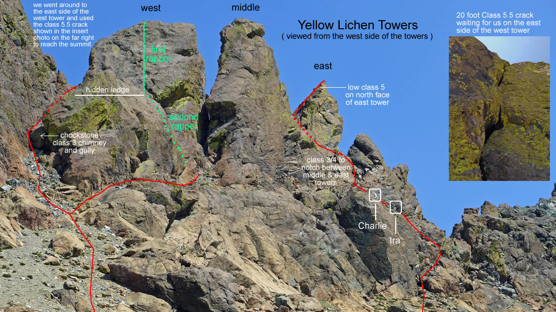
A synopsis of what our group did on the Yellow Lichen Towers... we ran out of sling webbing for rappels and had to pass on trying the middle tower.
|
Heading back to our camp at Lake Ann... with Yellow Lichen Castle and Yellow Lichen Towers on the ridge behind us.
|
Heading for Lake Ann... where we will spend a second night... the days stats were 2.3 miles of hiking, gaining 1430 feet of elevation.
|
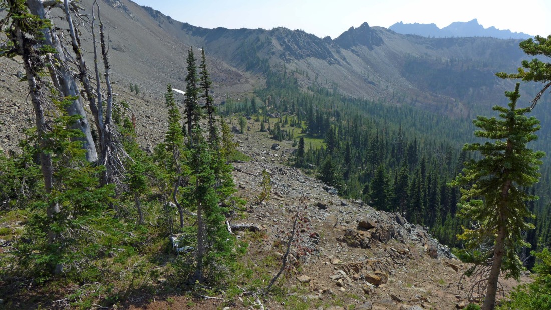
Up early on the third day... here we are leaving Esmeralda Basin Trail #1394 and will follow Road 303 and Road 302 over to Van Epps Pass.
|
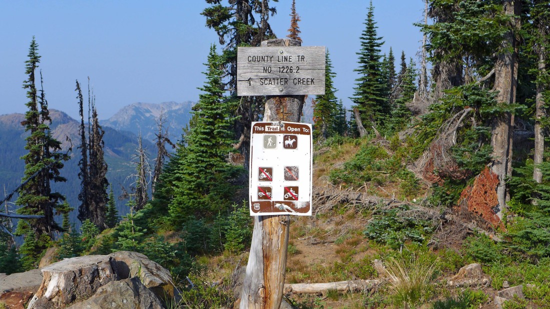
At Van Epps Pass... we will take County Line Trail #1226.2.
|
After following the County Line Trail for a short distance we will take the N. Fork Fortune Creek Trail down to Road 302 and follow it a half-mile back to our car... the days stats were 4 miles of hiking, gaining 55 feet of elevation... the total trip stats were 11 miles of hiking, gaining 3487 feet of elevation.
|
