Banshee Peak - 8.26.2017

Exit Hwy 410 onto Sunrise Road and drive 1.3 miles to the fee station... then drive another 3 miles beyond the fee station... where you will find parking (~3835') on the right side of the road at the trailhead for Summerland just after driving across Fryingpan Creek.
|
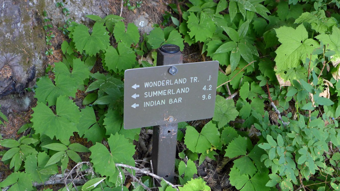
From your parking spot it is only a tenth of a mile to the Wonderland Trail... which you will follow to Summerland.
|
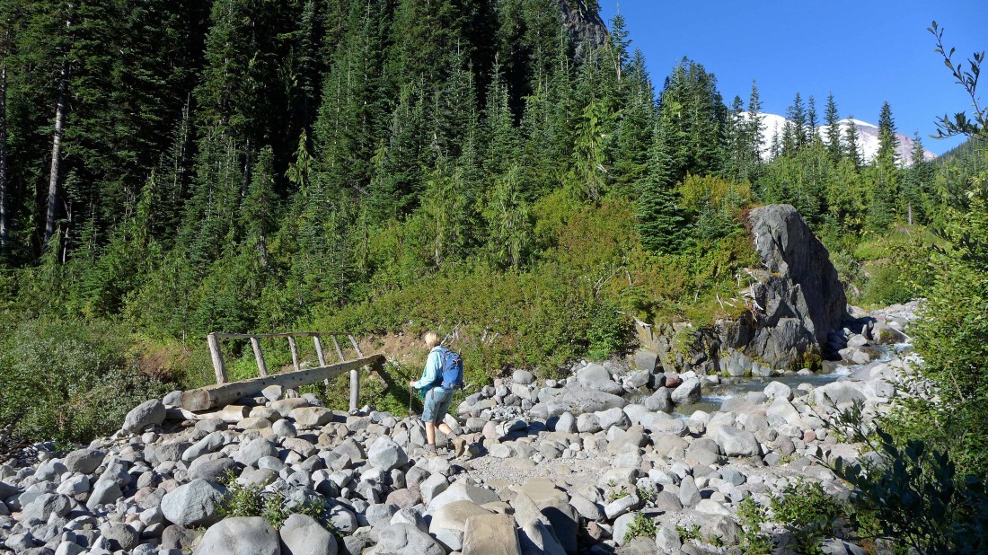
At ~5200 feet... after hiking a total of 3.6 miles we made the bridge crossing of Fryingpan Creek.
|
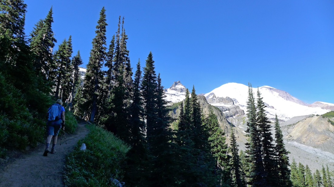
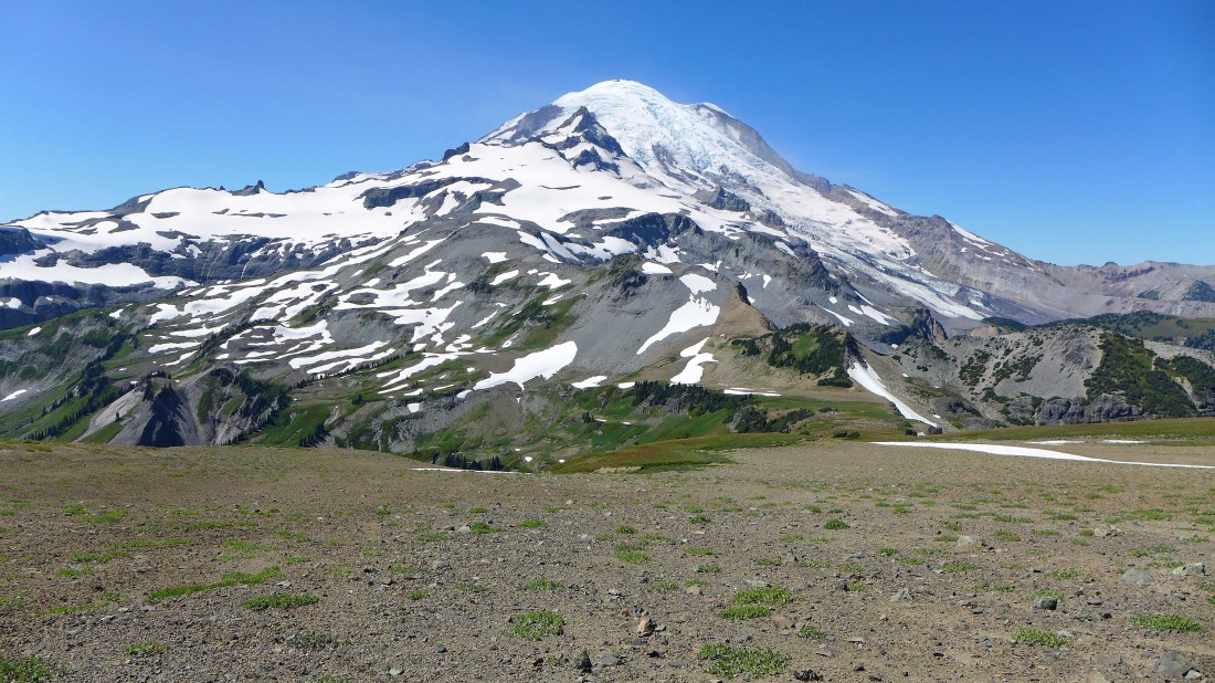
After crossing Fryingpan Creek we are working the switchbacks that will lead us up to the Summerland Shelter... Little Tahoma and Mt. Rainier are up valley.
|
Arriving at Summerland (~5960') after hiking a total of 4.5 miles.
|
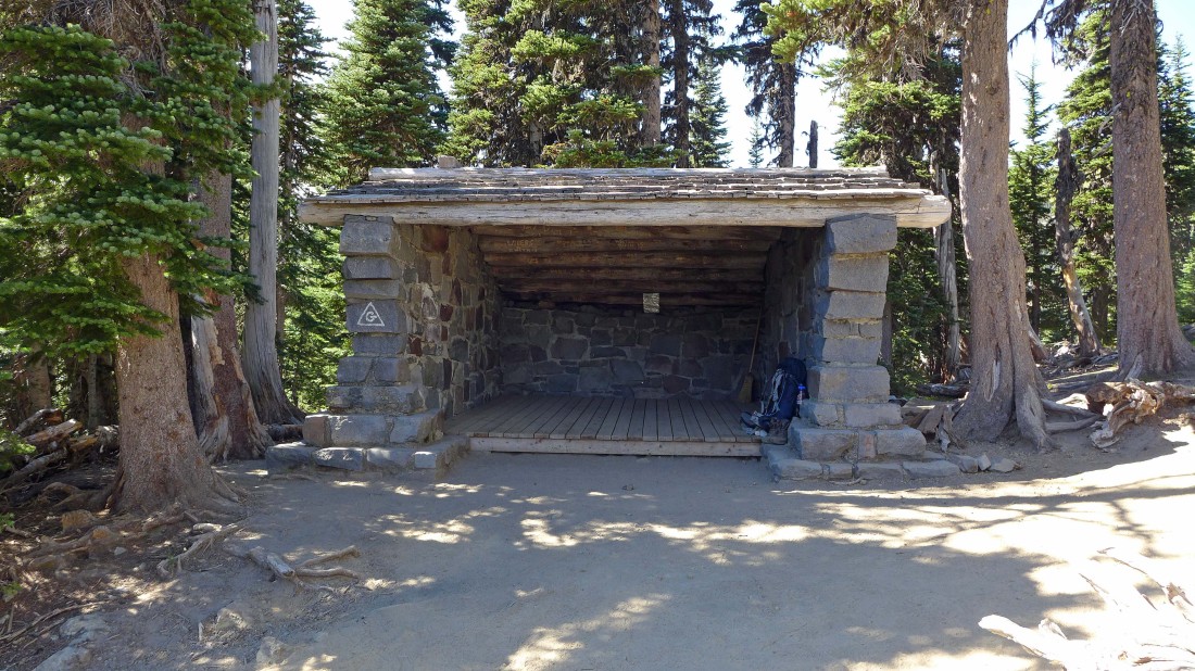
The Group Shelter at Summerland.
|
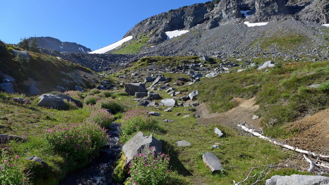
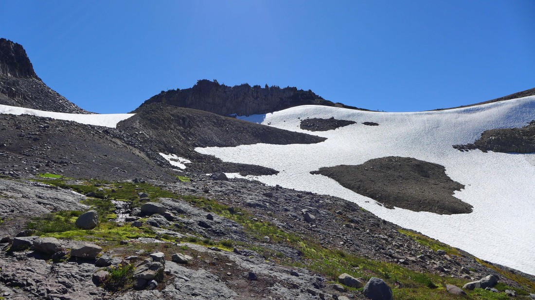
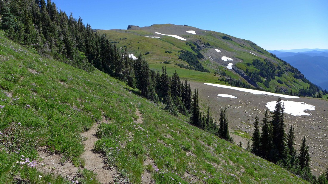
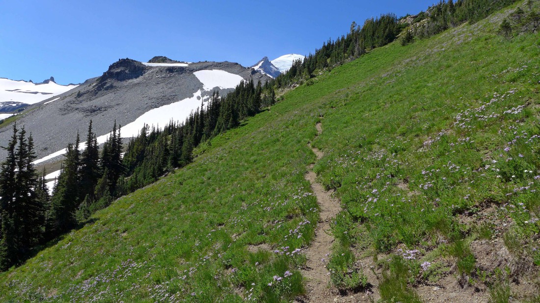
Continuing beyond the shelter and following the Wonderland Trail... heading for Panhandle Gap... the terrain is about to change from vegetation to mostly rock.
|
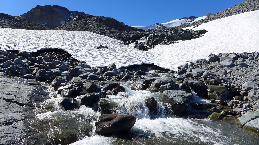
Runoff from the Fryingpan Glacier as we continue up toward Panhandle Gap.
|
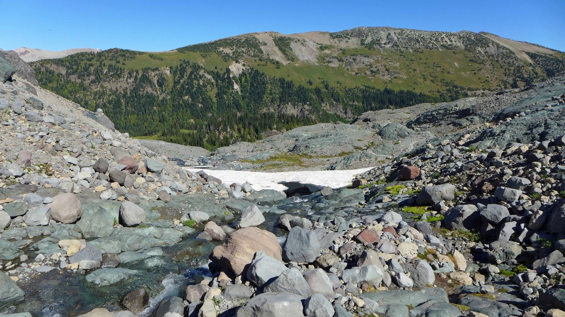
Looking back across the valley to Goat Island Mountain.
|
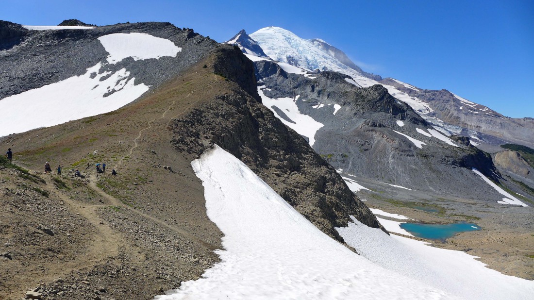
Continuing toward Pahhandle Gap... I can see hikers on the skyline at the gap on the far right.
|
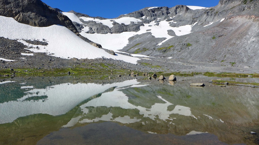
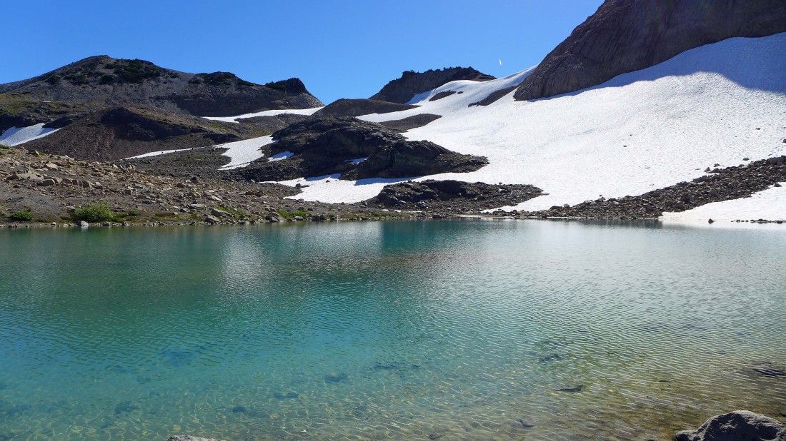
A beautiful tarn along the Wonderland Trail.
|
A second tarn... you can see the jet stream crossing over Panhandle Gap above.
|
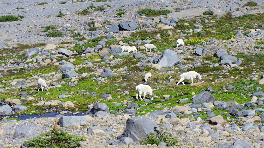
We saw a herd of at least 20 goats between the two tarns.
|
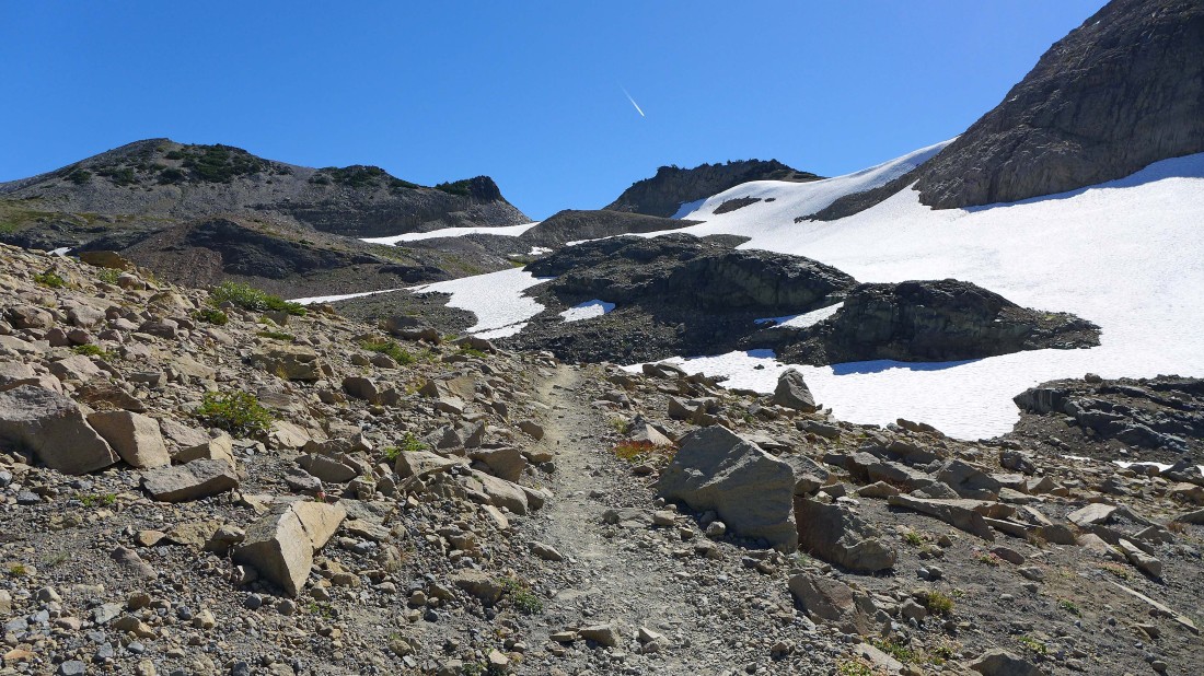
Continuing up toward Panhandle Gap on the far right.
|
Continuing for Panhandle Gap on the right.
|
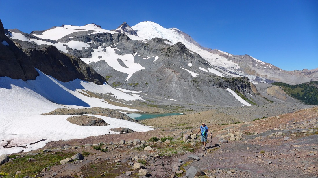
Denali Girl nears Panhandle Gap... looking back at the tarn where we saw the goats... every step higher gives a better view of Mt. Rainier.
|
Nearing Panhandle Gap in the left foreground.
|
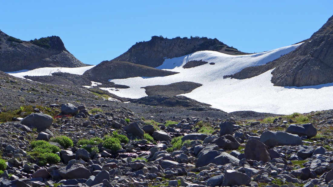
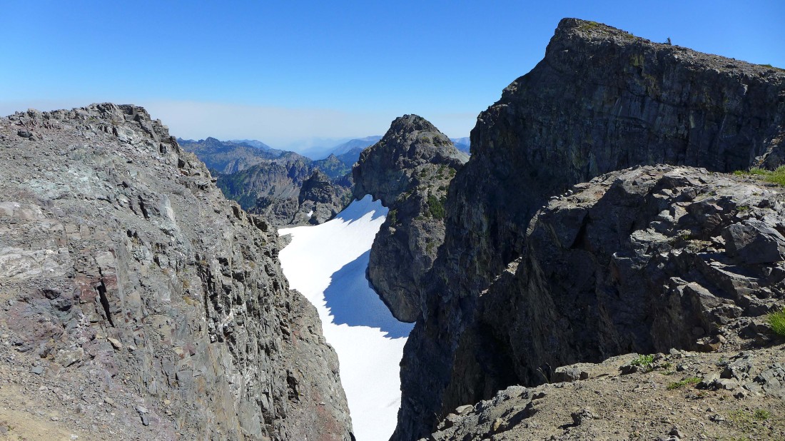
Snow lingers near Panhandle Gap (~6800')... we have hiked a total of 6 miles.
|
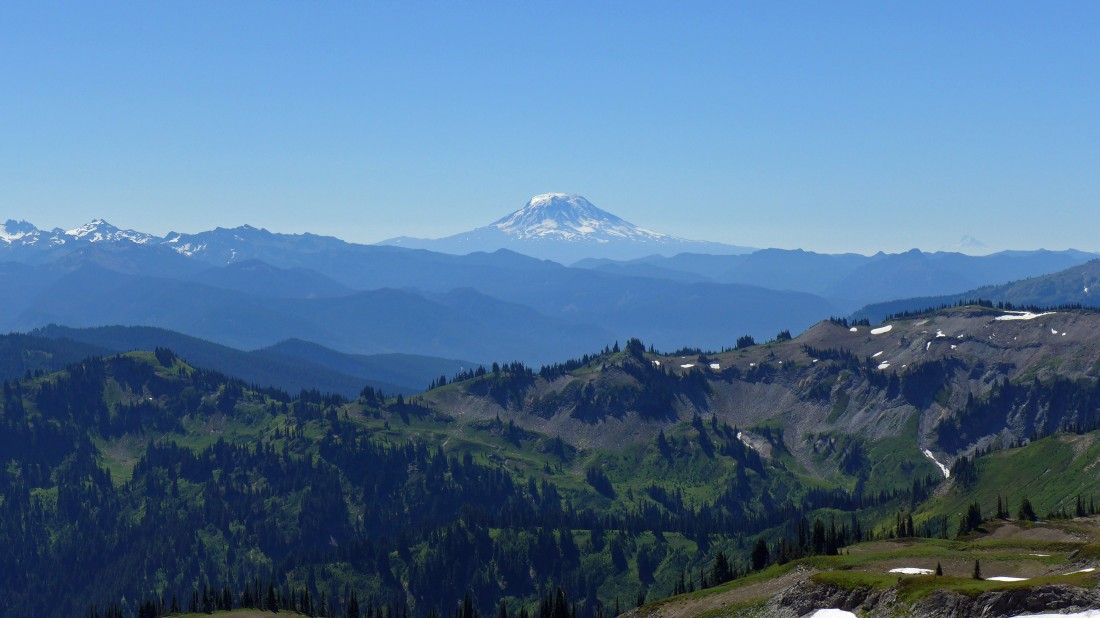
From Panhandle Gap we are looking across Ohanapecosh Park to Mt. Adams... Goat Rocks on the far left... and we can barely see Mt. Hood on the horizon to the right of Mt. Adams.
|
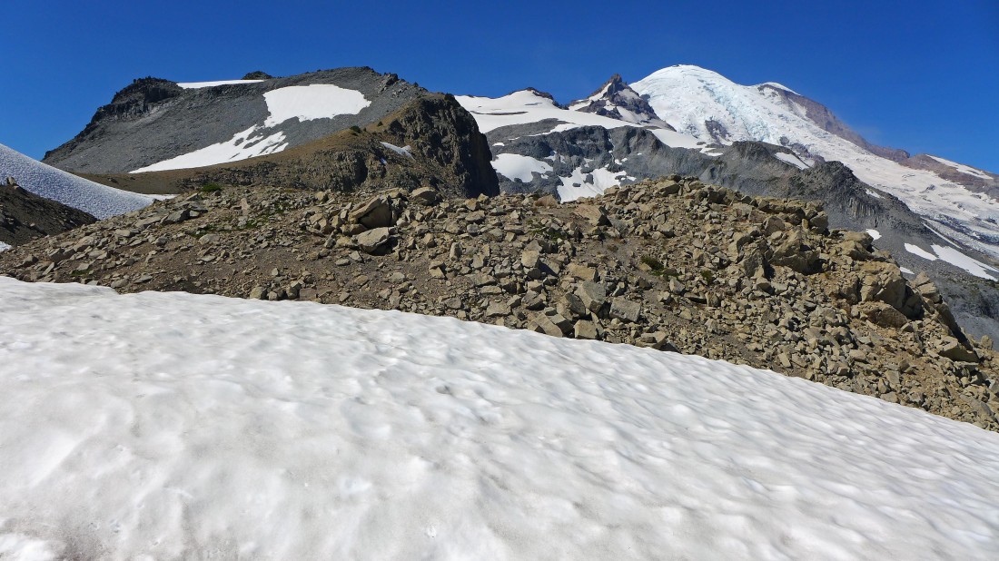
I have followed a good path east of the gap... and I can see my target (the little nipple) on the ridge in the distance.
|
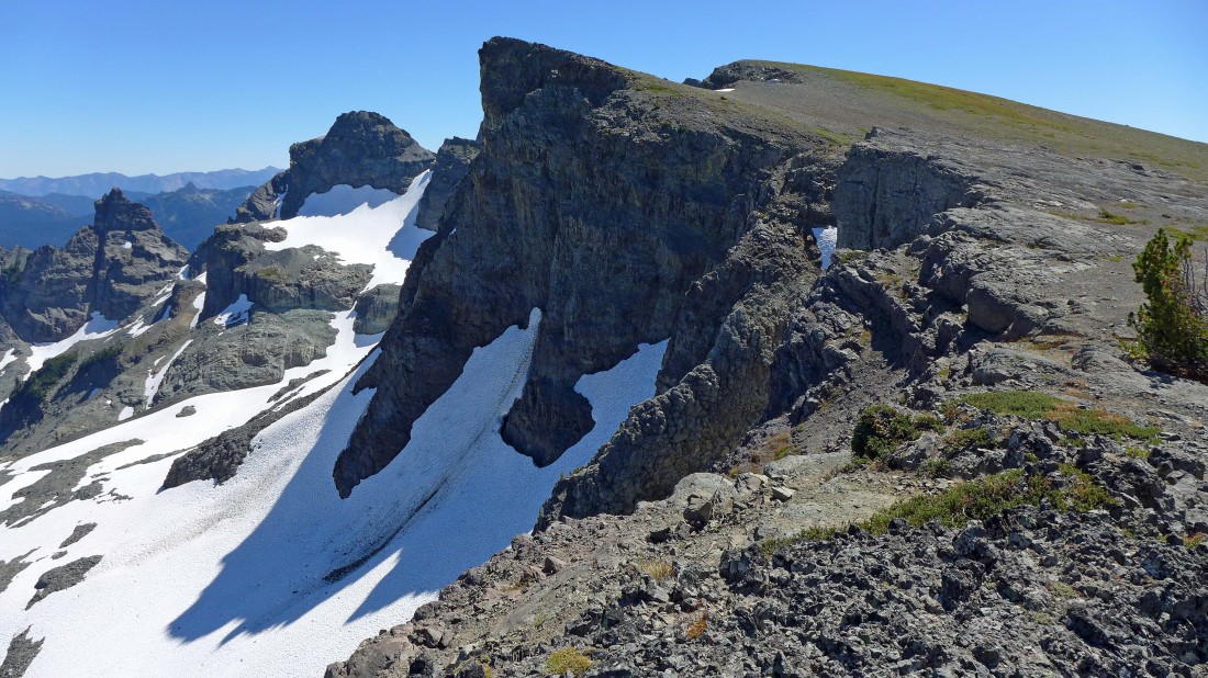
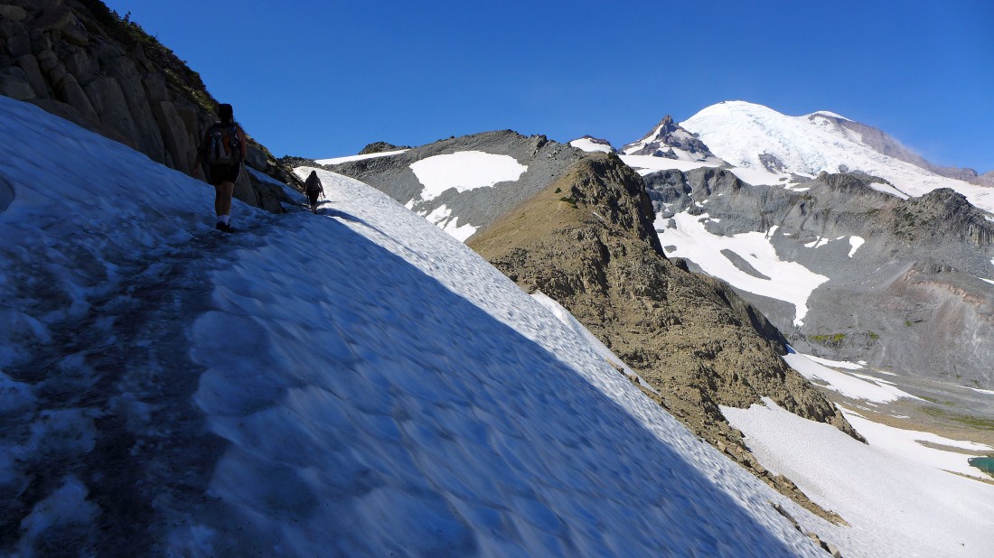
Contouring along the ridge above the Sarvant Glacier... this is an unnamed bump (or is it a balcony) in the foreground... with the north (far left) and middle Cowlitz Chimneys beyond.
|
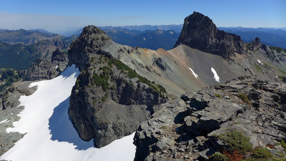
I'm on the balcony... now I can see all three of the Cowlitz Chimneys... with Banshee Peak on the right.
|
Some peak identification from the balcony.
|
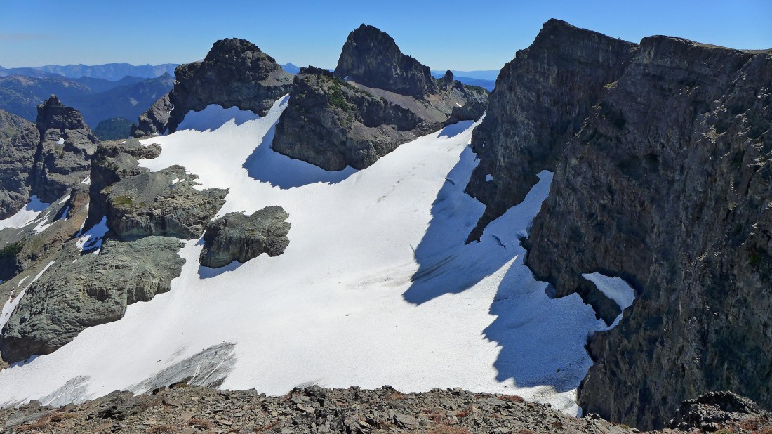
Looking at the balcony as I contour along the ridge above the Sarvant Glacier on my way to Banshee Peak... Tamanos Mountain is in the distance on the right.
|
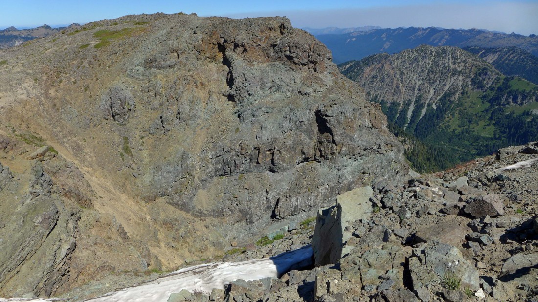
Banshee Peak in the right foreground... looking through the gap to the north and middle summits of Cowlitz Chimneys... and smoke from the fire on the east side of Chinook Pass.
|
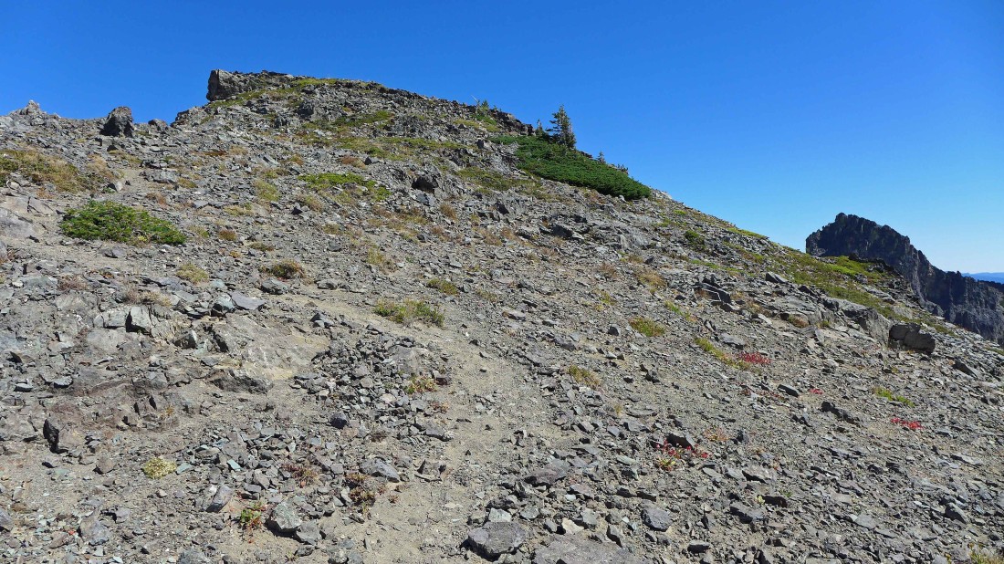
A good path leading up to the summit of Banshee Peak.
|
I'm on the Banshee Peak summit (7418')... looking at the Cowlitz Chimneys... I have hiked a total of 7.8 miles... however, I added a half-mile or so by contouring along the ridge above the Sarvant Glacier instead of taking a more direct line to the summit from Panhandle Gap.
|
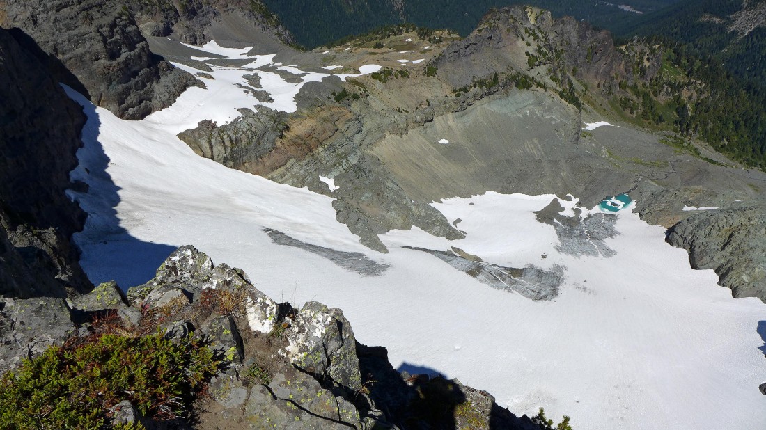
Looking down on the Sarvant Glacier from the summit of Banshee Peak.
|
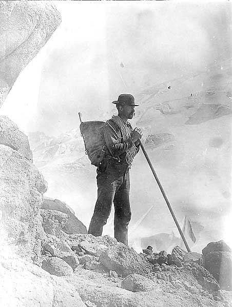
Henry M. Sarvant explored the region in the late 1800's... and the Sarvant Glacier bears his name.
|
Looking west and NW from Banshee Peak.
|
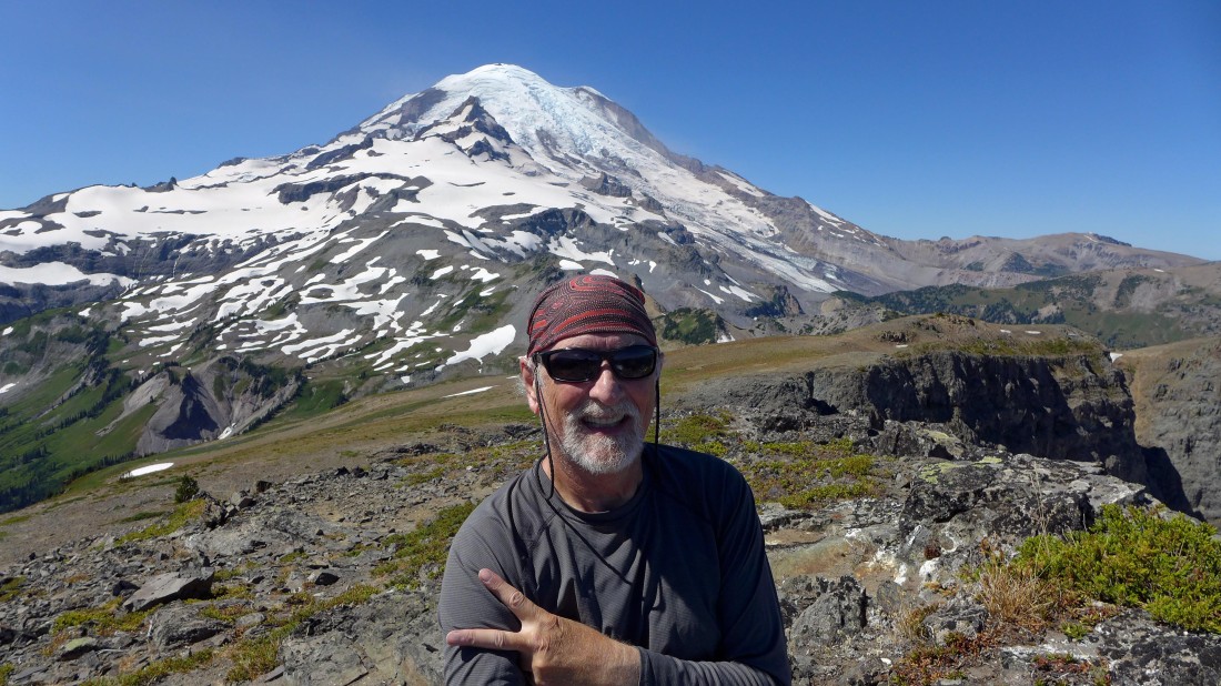
Mandatory selfie from the summit of Banshee Peak.
|
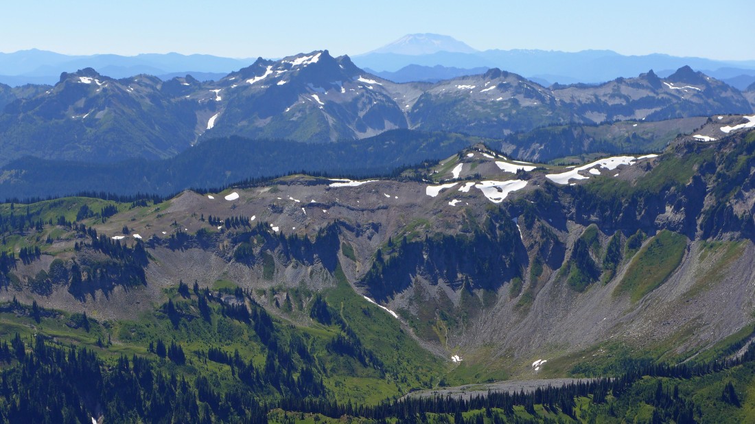
Looking across Ohanapecosh Park and the Tatoosh Range to Mt. St. Helens from the Banshee Peak summit.
|
Heading back to Panhandle Gap... taking a more direct line as I return.
|
Regaining 200 feet of elevation on a good path as I return to Panhandle Gap which is just around the corner.
|
Lots of people hanging out at the gap... 6 miles of hiking will get me back to the car.
|
