Vesper Peak - 9.14.2017
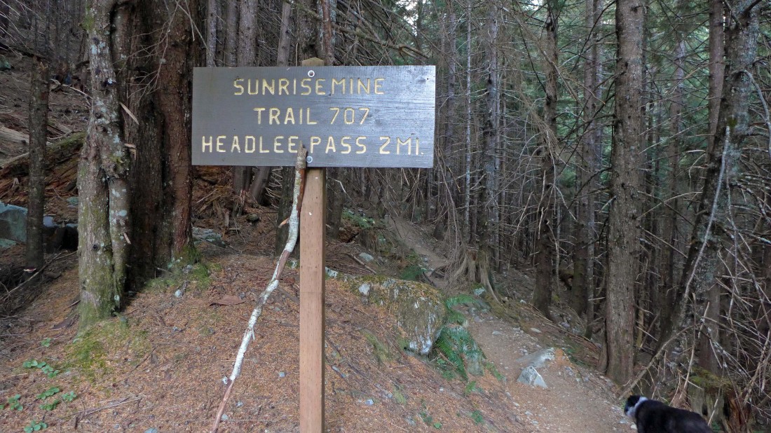
Park (~2300') at the trailhead for Sunrise Mine Trail #707.
|
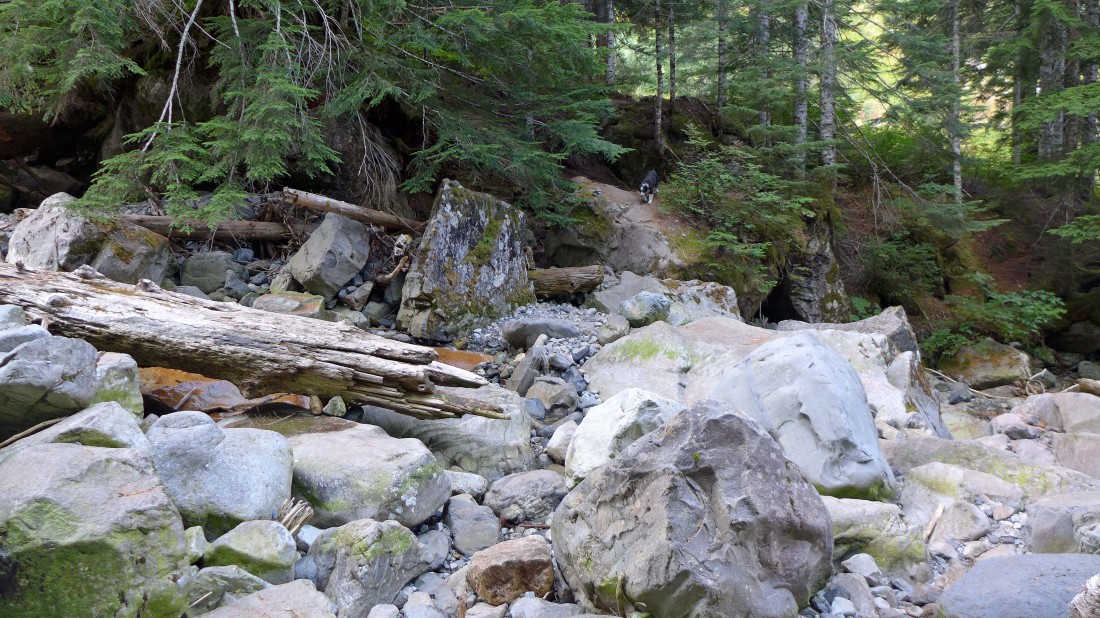
After hiking a half-mile we crossed the south fork of the Stilaguamish River... which was only a trickle this time of year.
|
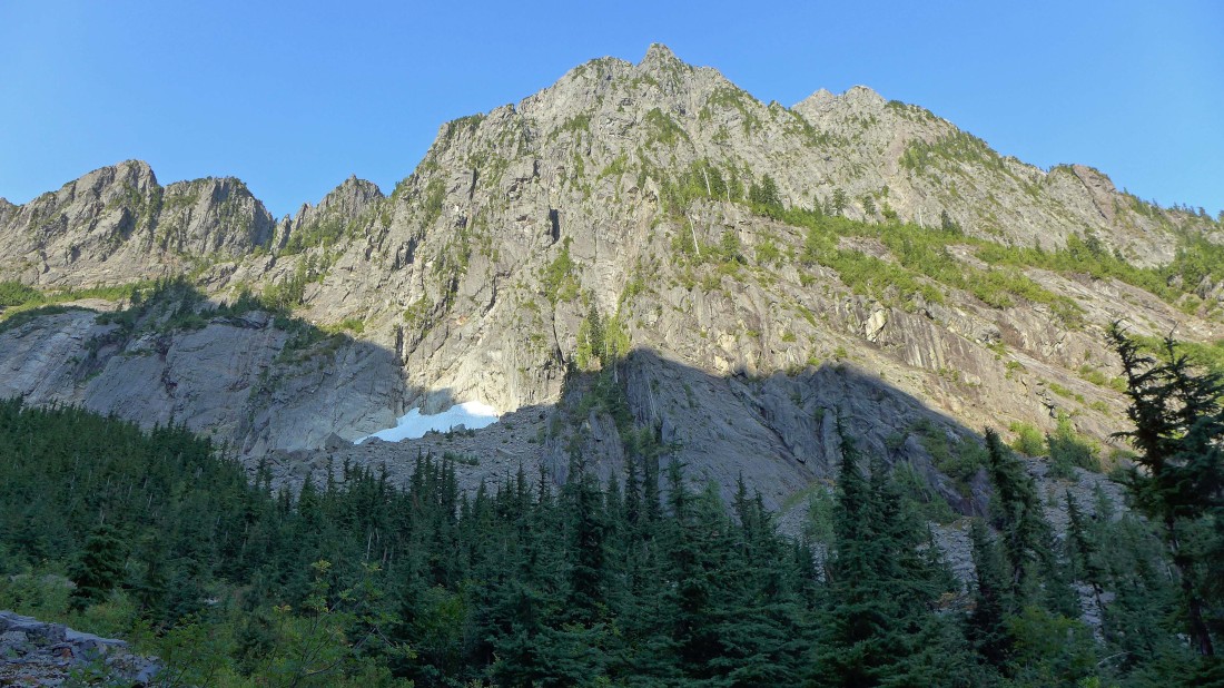
Looking up at Sperry Peak as we hike up Wirtz Basin.
|
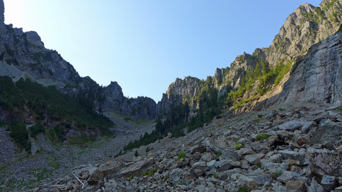
Still on the Sunrise Mine Trail... nearing the head of Wirtz Basin.
|
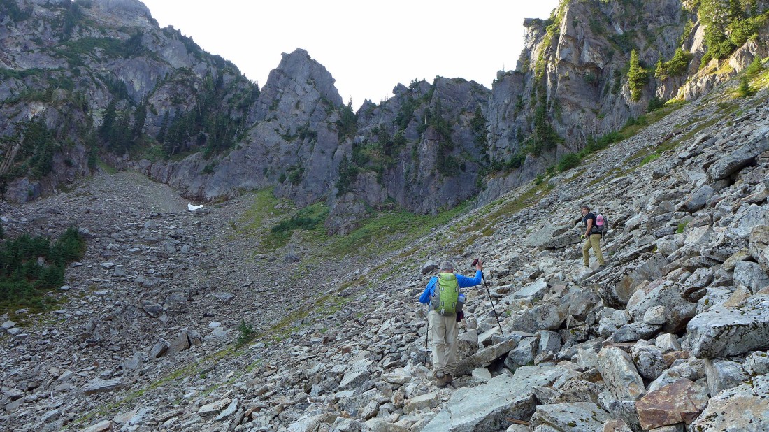
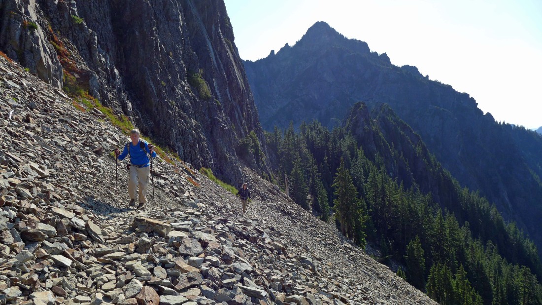
Nearing the head of Wirtz Basin... looking for the switchback that will get us moving in the direction of Headlee Pass.
|

After hiking 2 miles we have reached the switchback (~4150') that will start us up toward Headlee Pass above on the left.
|
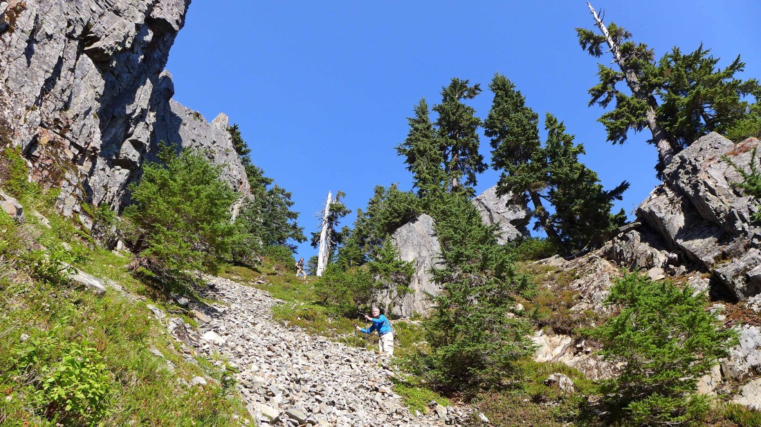
Nearing Headlee Pass on tight switchbacks.
|
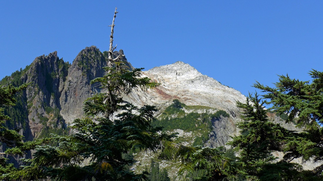
After hiking 2.3 miles we have reached Headlee Pass (~4800')... and got our first view of Vesper Peak.
|
Traversing from Headlee Pass toward Vesper Peak.
|
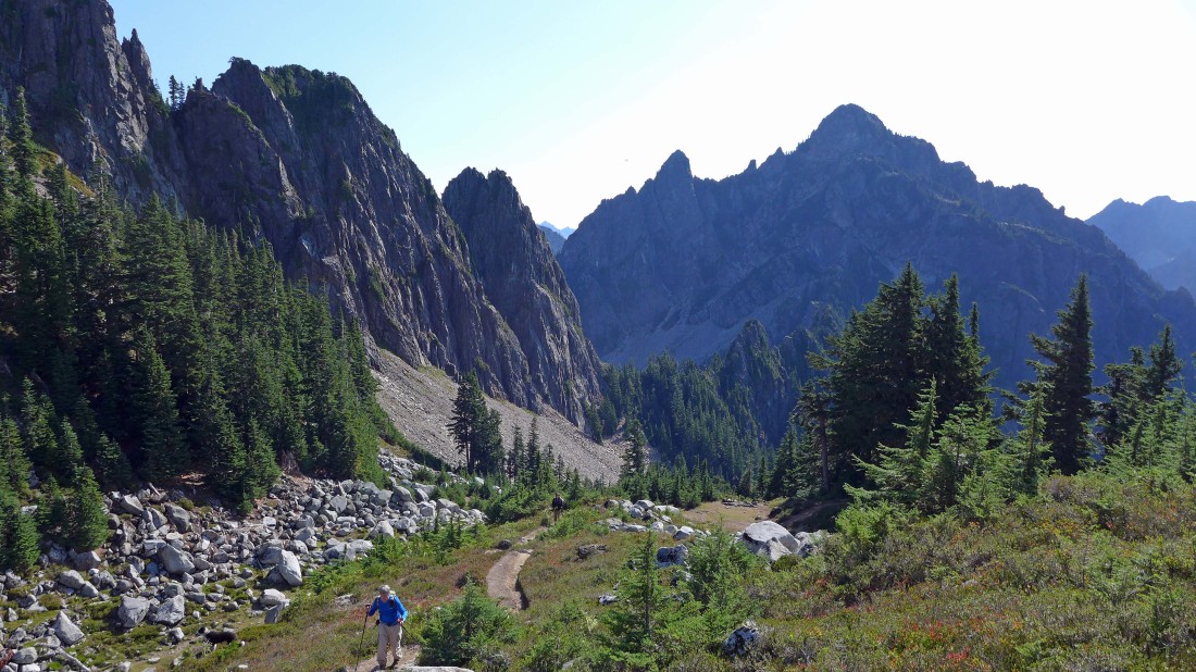
Looking back toward Headlee Pass as we traverse over to the basin between Vesper Peak and Sperry Peak... Morning Star Peak is behind us.
|
After hiking 2.7 miles we have reached the Vesper/Sperry basin... we will continue up an obvious path on the heather slope in the center of the photo.
|
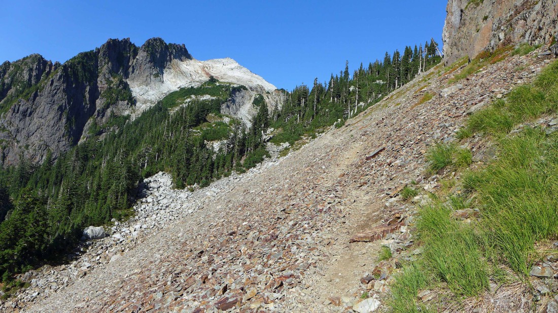
Gaining elevation on the heather slope as we continue above the Vesper/Sperry basin... looking back at Headlee Pass, Vega Tower and Morning Star Peak.
|
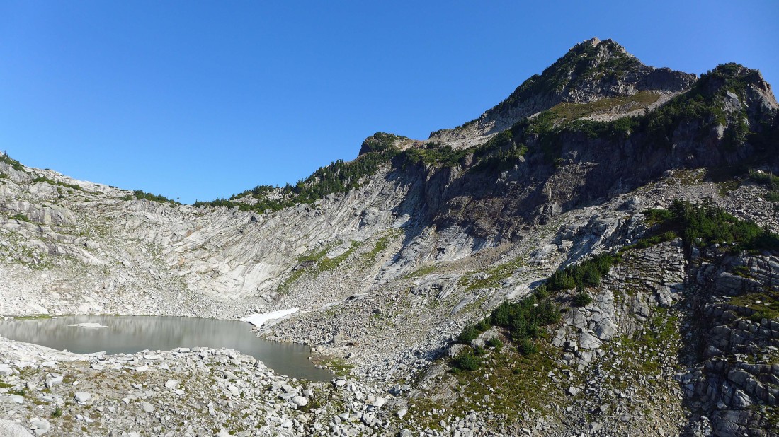
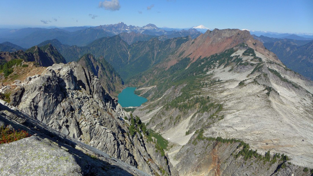
Lake Elan and Sperry Peak as we continue toward Vesper Peak.
|
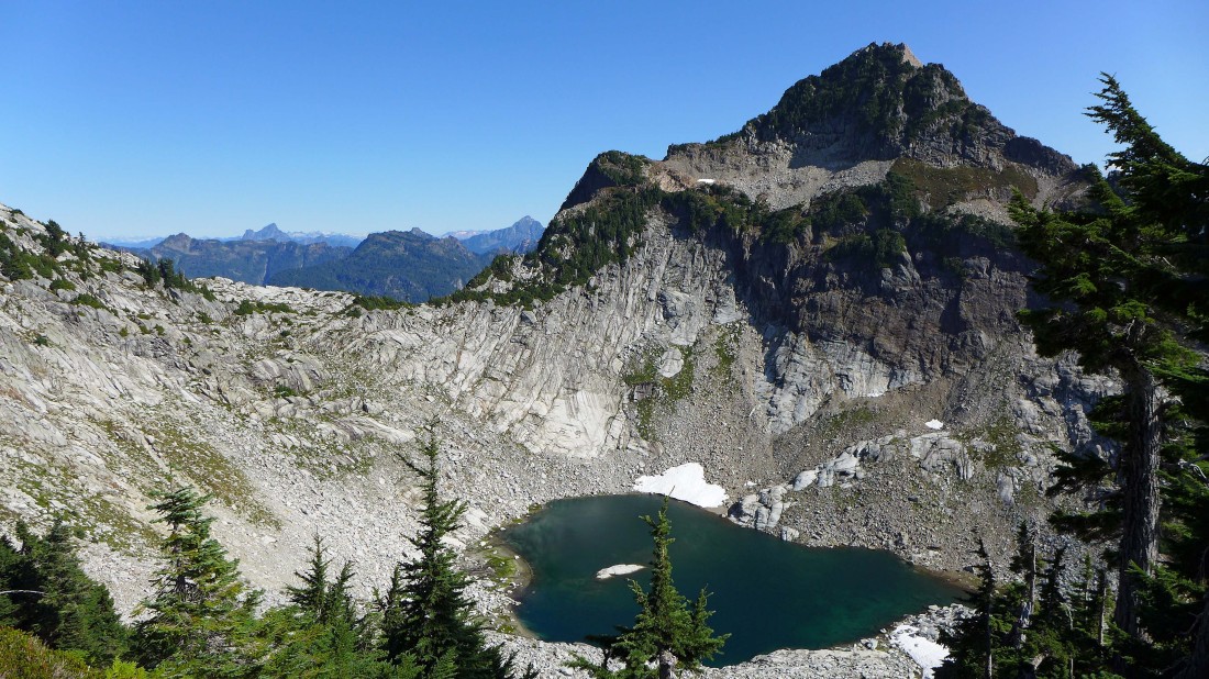
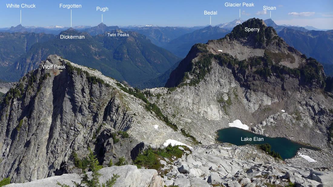
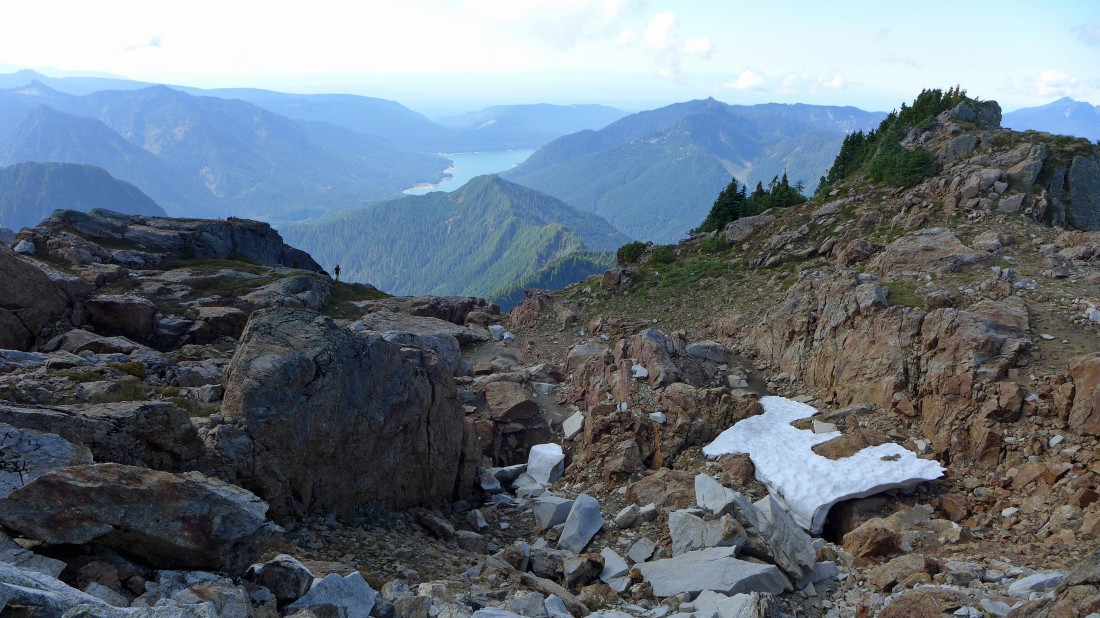
Gaining elevation on the heather slope... looking down on Lake Elan and over to Sperry Peak in the right foreground... and looking beyond the saddle to Stilaguamish Peak, White Chuck Mountain, Mt. Dickerman, Mt. Forgotten and Mt. Pugh.
|
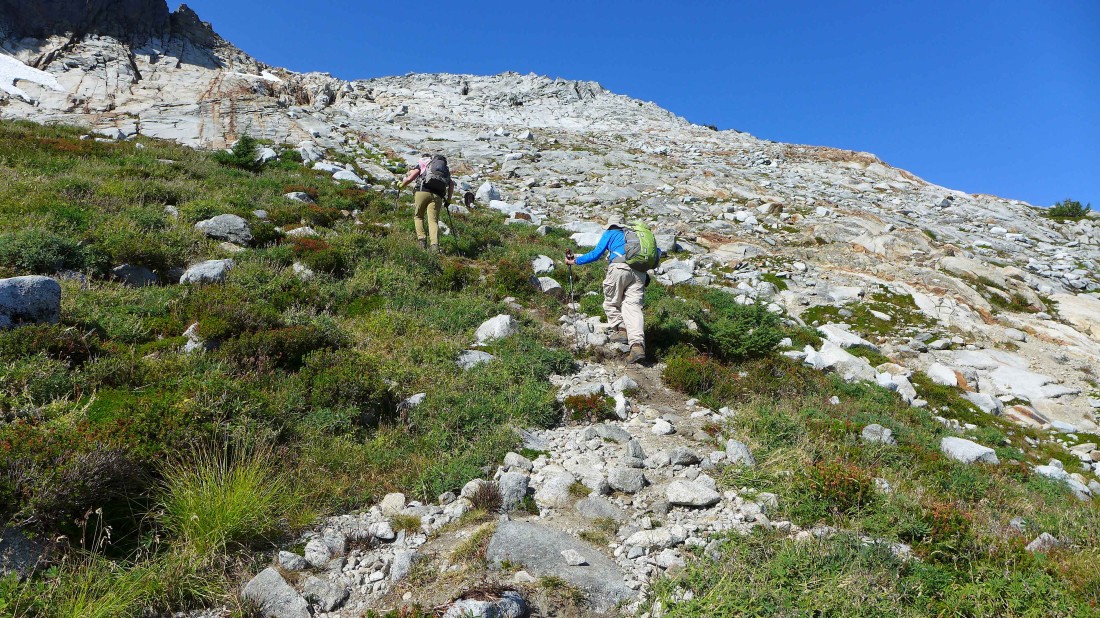
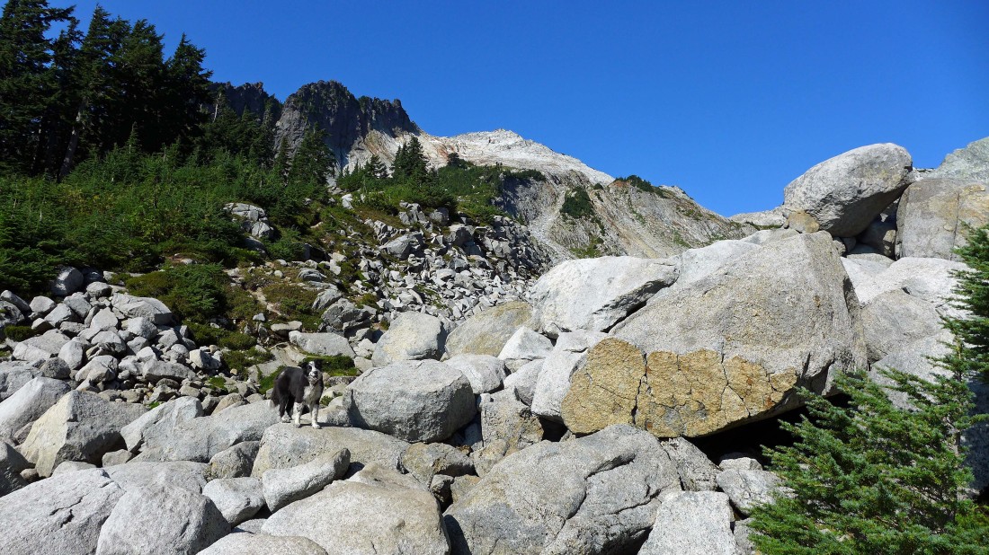
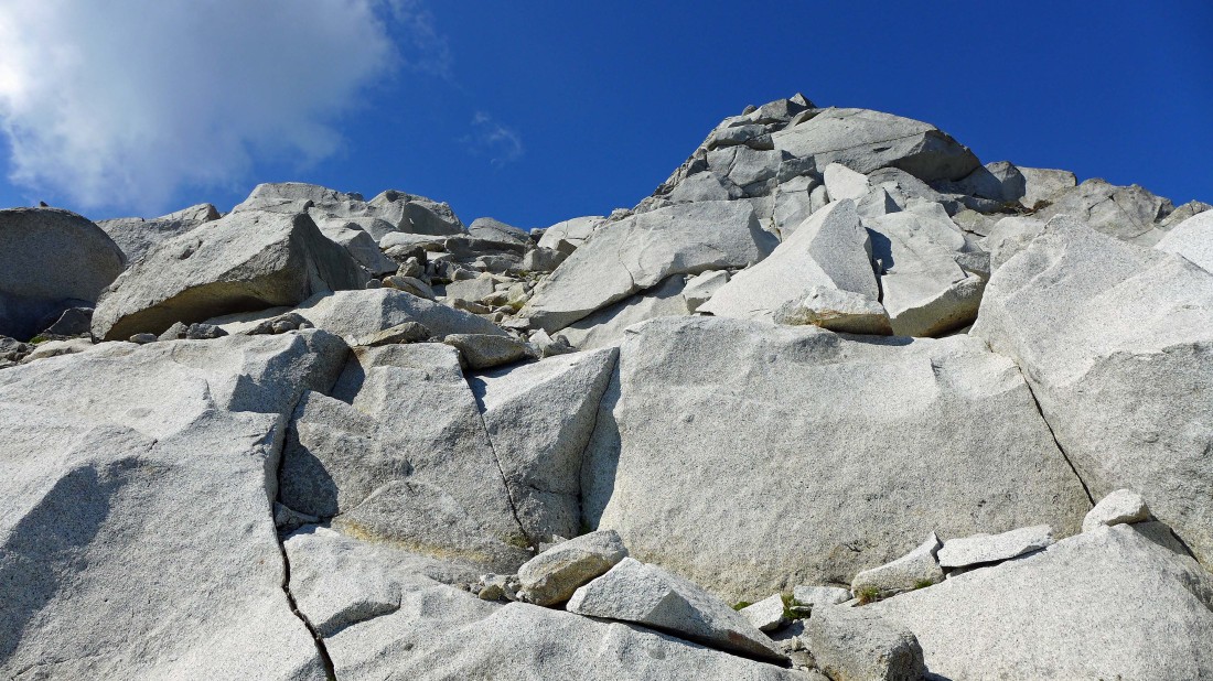
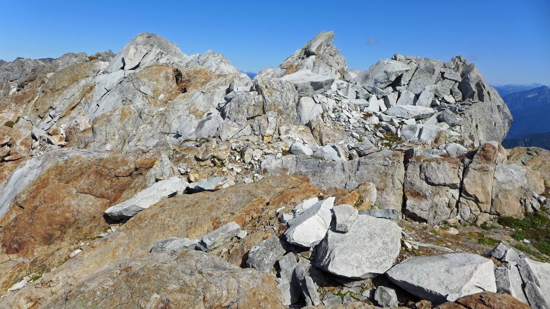
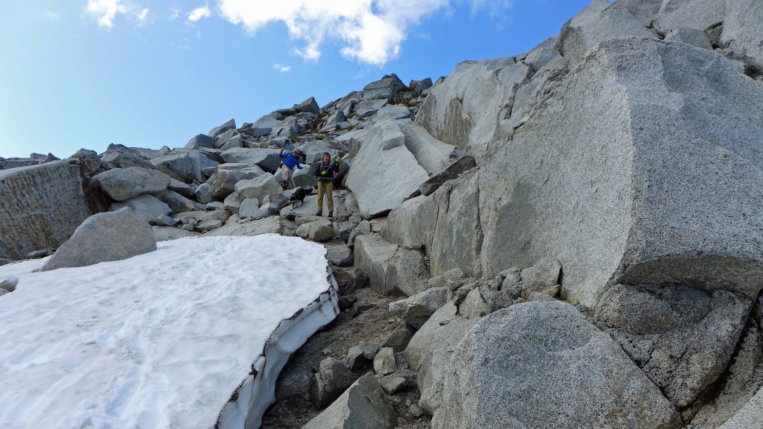
Almost off of the heather and onto the quartz.
|
Nothing but rock now.
|
Quartz anyone?
|
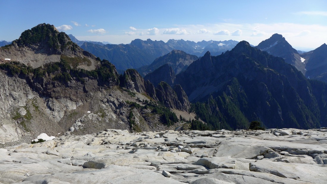
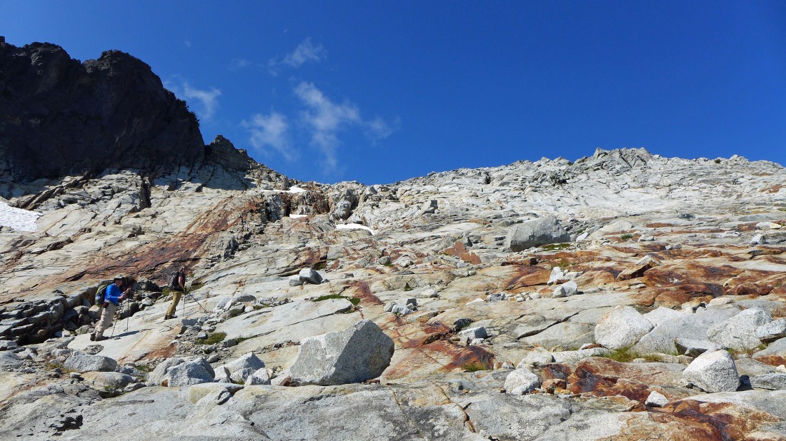
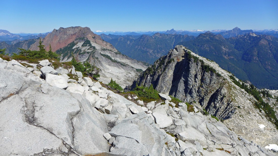
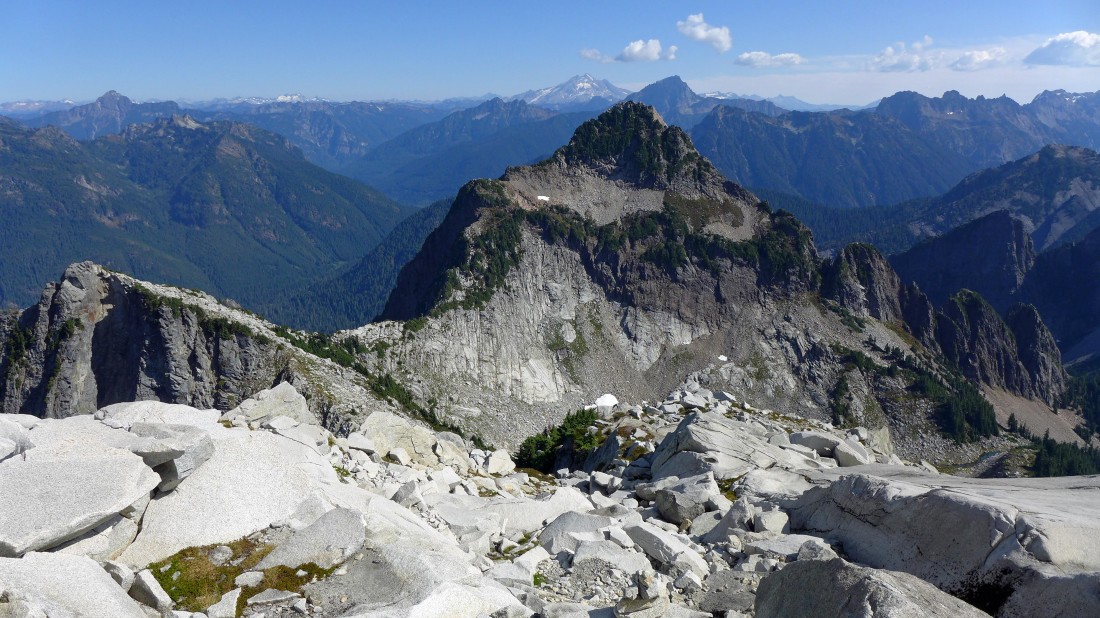
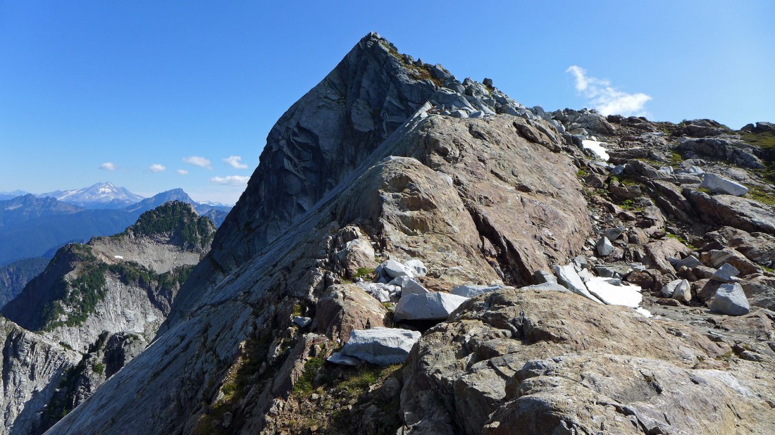
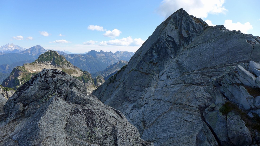
Gaining elevation and looking back toward Headlee Pass in the center of the photo... Sperry Peak in the left foreground... Morning Star Peak in the right foreground... with Del Campo Peak just to the right and back of Morning Star.
|
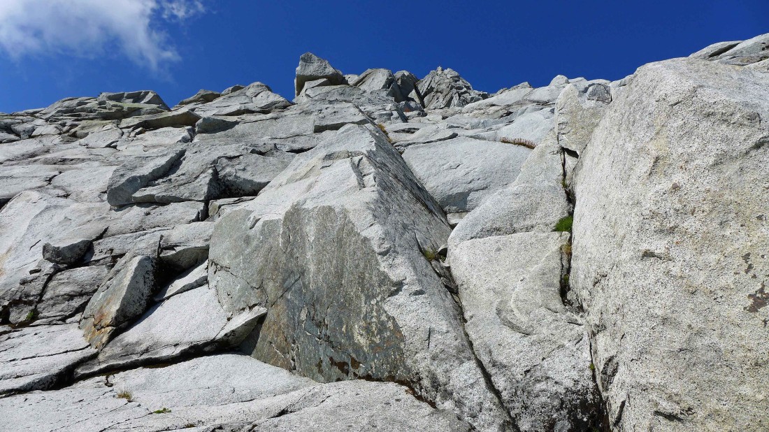
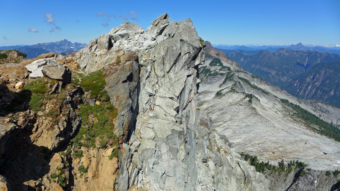
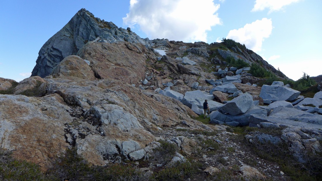
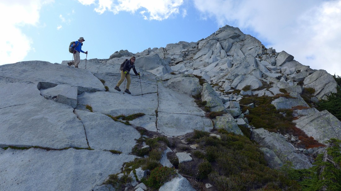
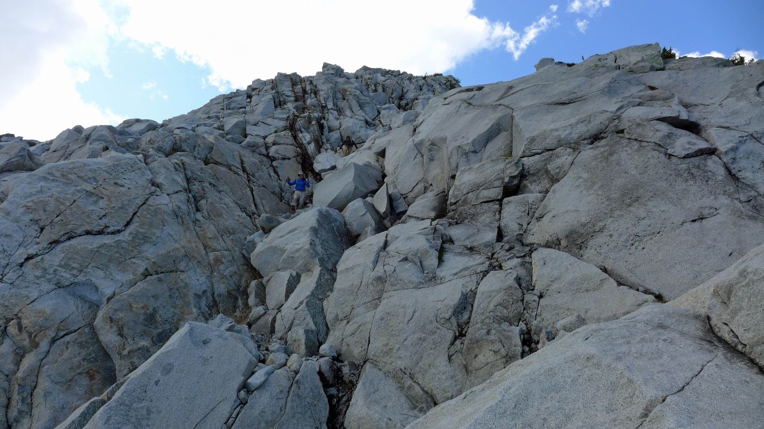
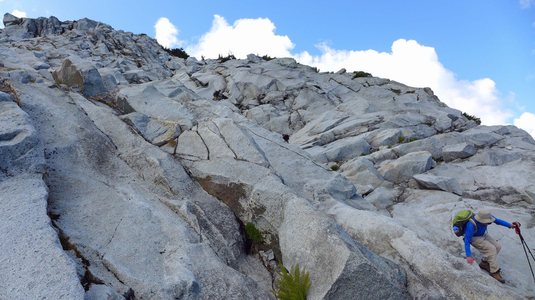
A fun Class 2/3 scramble will take us up to the Vesper summit.
|
Continuing up to Vesper... with Wolf Peak in the foreground... the red one is Big Four Mountain.
|
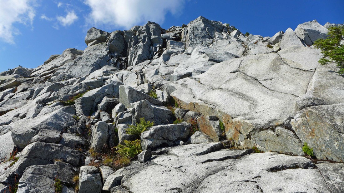
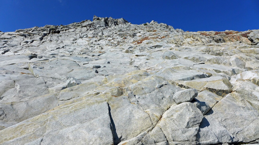
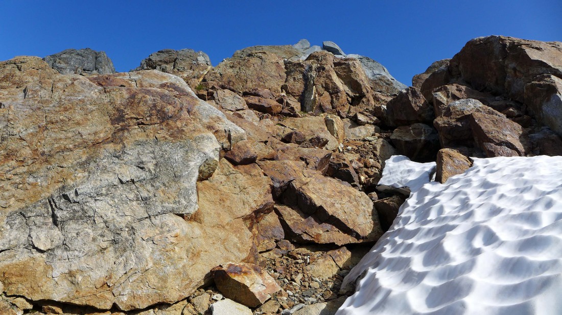
Continuing up on sticky quartz.
|
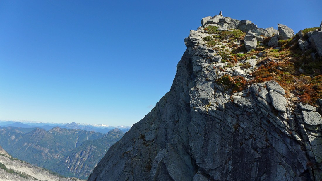
Some peak identification as we near the Vesper summit.
|
Almost on the summit.
|
Looking NE and east from the summit (6214') of Vesper Peak... the hike was 3.4 miles to the summit.
|
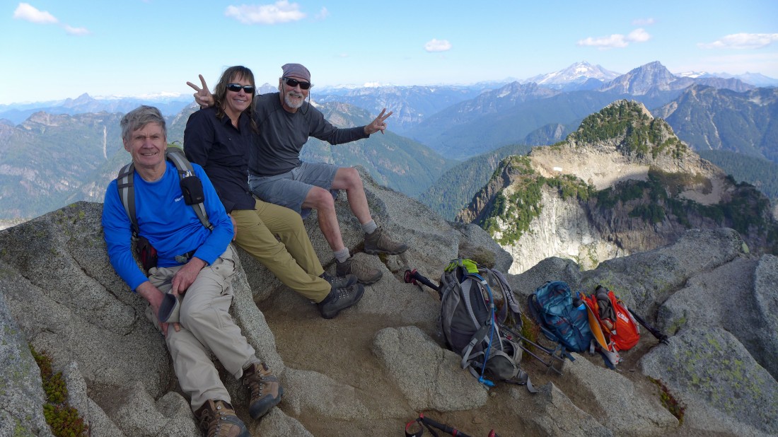
A group shot from the summit of Vesper Peak... Sperry, Bedal, Sloan and Glacier Peak on the right.
|
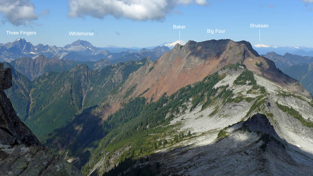
Copper Lake from the Vesper summit... Big Four Mountain is the red one... with Three Fingers and Whitehorse Mountain on the skyline in the center of the photo... Mt. Baker and Mt. Shuksan are the snow covered distant peaks beyond Big Four.
|
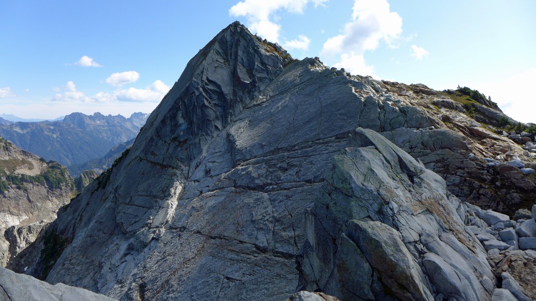
I continued west and NW from the Vesper summit and gave back some elevation to see if I could get a good view of Vesper's north face... looking back at Snowdog as she rides the Vesper summit.
|
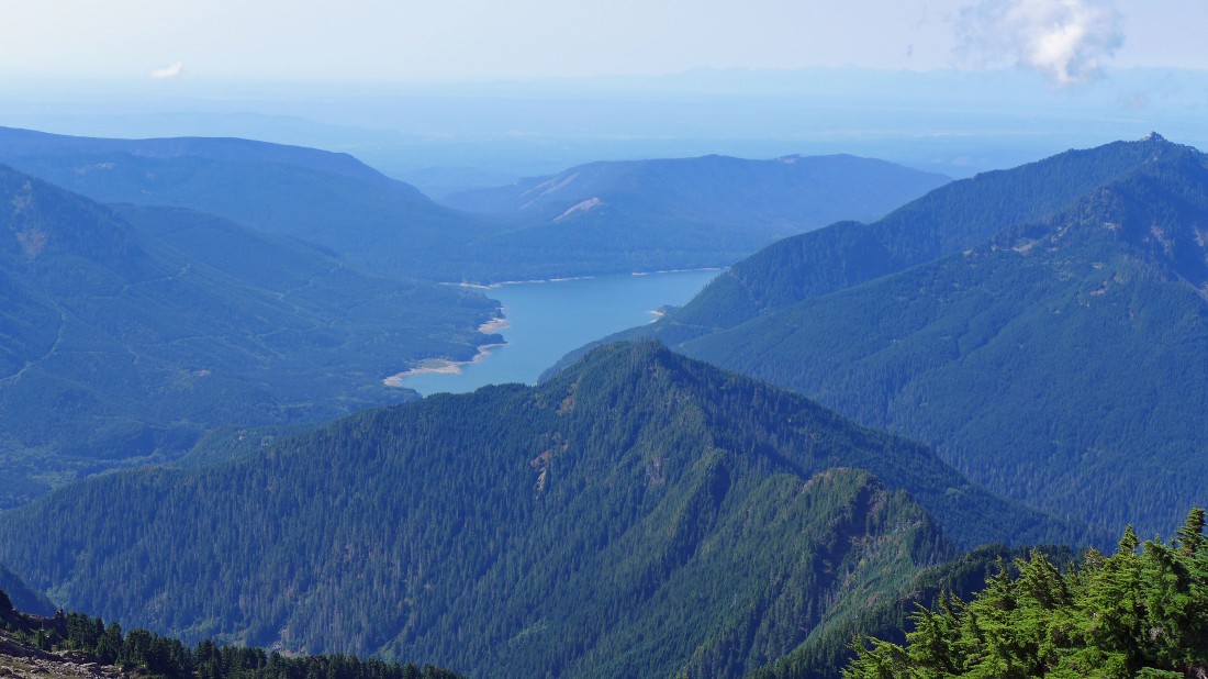
Looking SW to Spada Lake.
|
Continuing west and NW beyond the Vesper summit... starting to get a view of Vesper's north face.
|
If I can get over there, I think I can get a better view of Vesper's north face.
|
It will take more work than I thought to get that north face view, but I'm gonna give it a shot.
|
Working for that north face view.
|
The north face view of Vesper peak... but I can do a little better.
|
Here comes Snowdog to join me for the north face view.
|
This is the best view of Vesper's north face that I was able to get... a very popular, multi-pitch rock climb.
|
Tracing our steps back up to the Vesper summit.
|
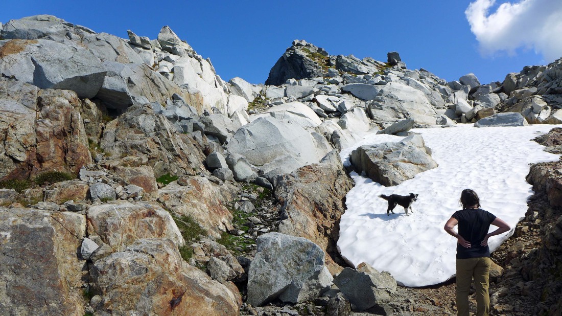
Izzy loves the snow.
|
Heading back down from the Vesper summit.
|
Some peak identification as we trace our steps down from the Vesper summit.
|
The scramble down was as much fun as the scramble up.
|
Still going down on the quartz rock.
|
Heading down.
|
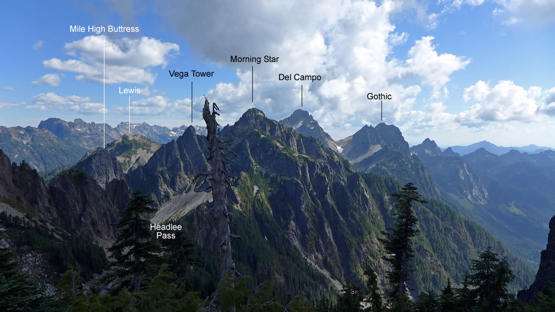
Some peak identification as we continue down.
|
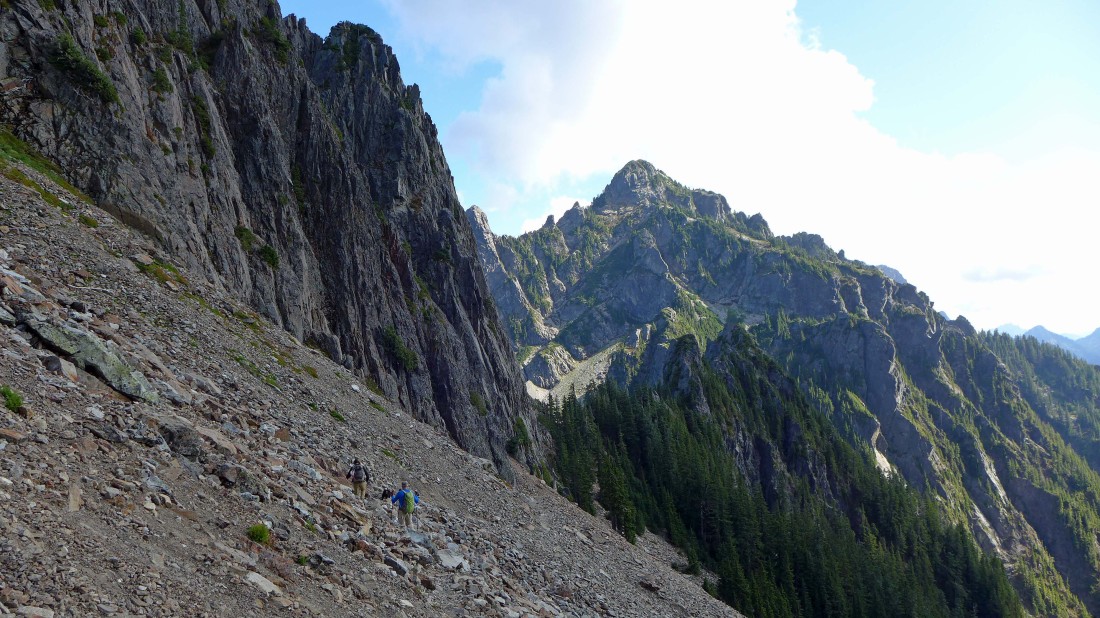
Traversing back to Headlee Pass... with Morning Star Peak in the distance.
|
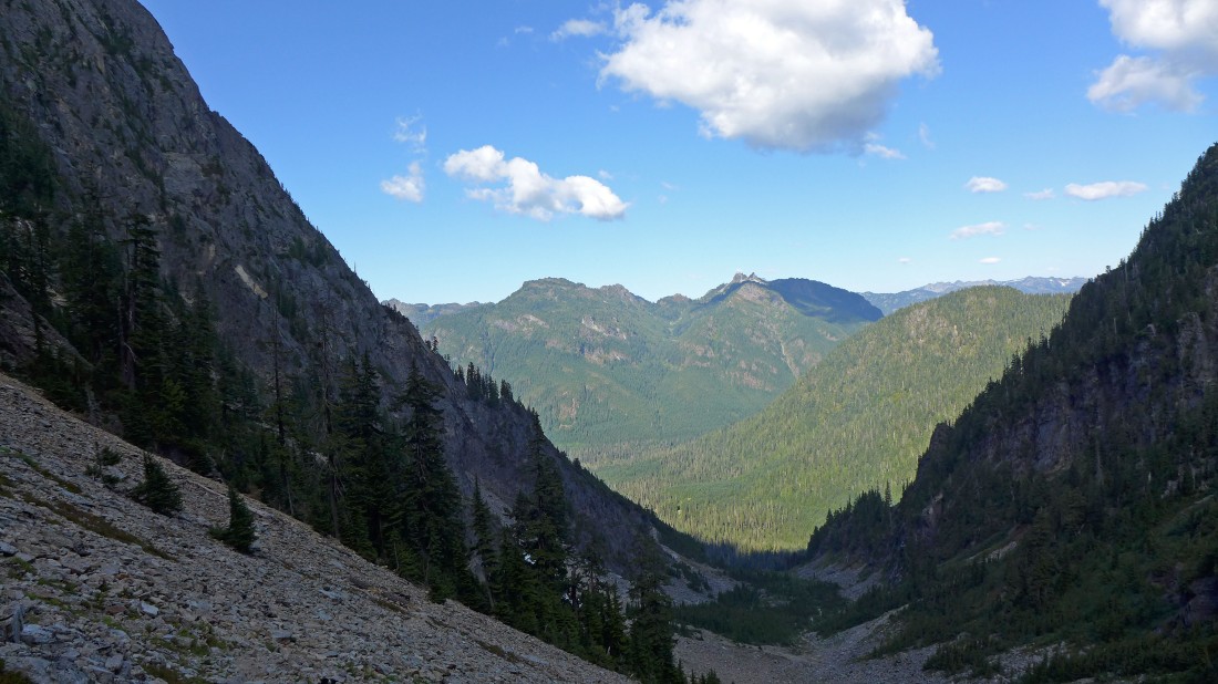
Looking down Wirtz Basin and across the valley to Mt. Dickerman... a little more than two miles will get us back to the car.
|
