Red Mountain - 10.4.2017
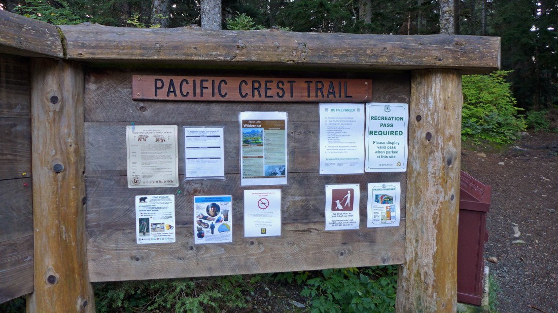
We parked (~3000') at the trailhead for the PCT on the north side of I-90 at Snoqualmie Pass... our total trip was 7.8 miles, gaining 3712 feet of elevation.
|
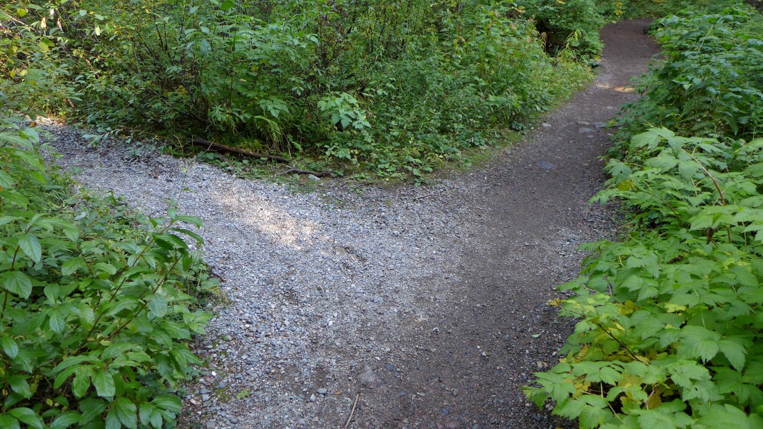
Less than 50 yards from the trailhead turn left onto the 'unsigned' Commonwealth Basin Trail... the white gravel is a good clue to look for.
|
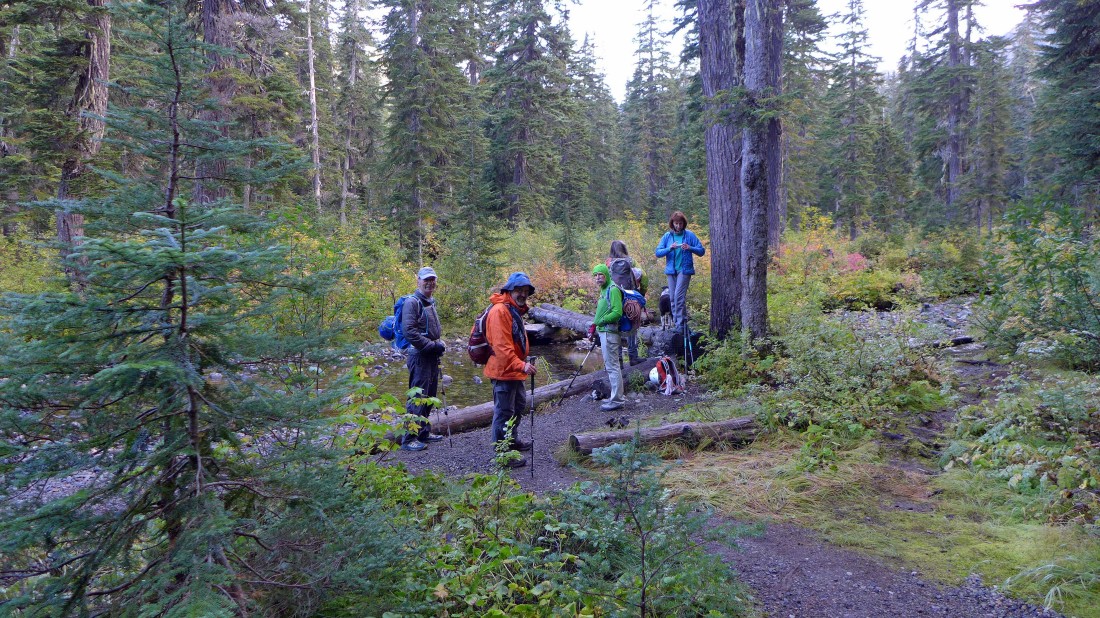
After hiking ~1 mile we crossed Commonwealth Creek at ~3600 feet.
|
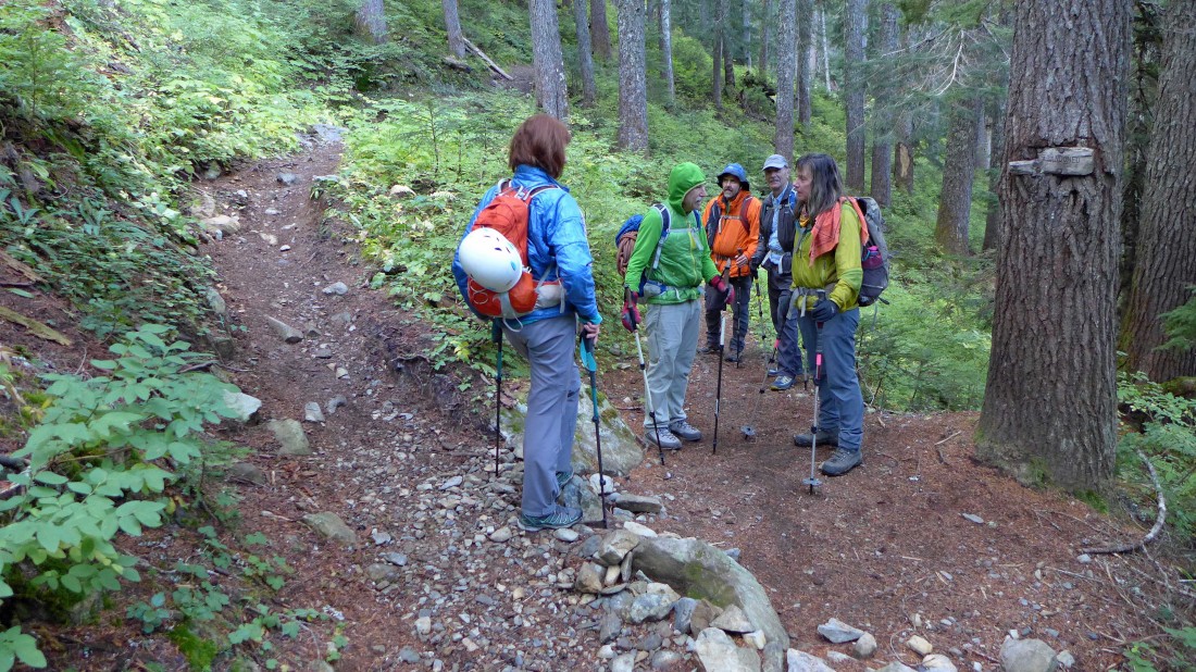
After hiking a total of ~1.5 miles we reached a junction with the connector trail that would take a person up to the PCT... but we will stay in Commonwealth Basin and continue on the Commonwealth Basin Trail.
|
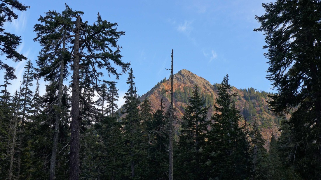
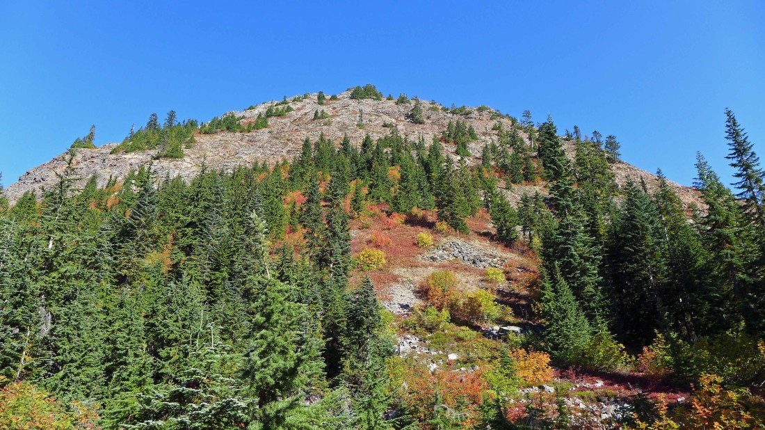
First good look at Red Mountain from Commonwealth Basin.
|
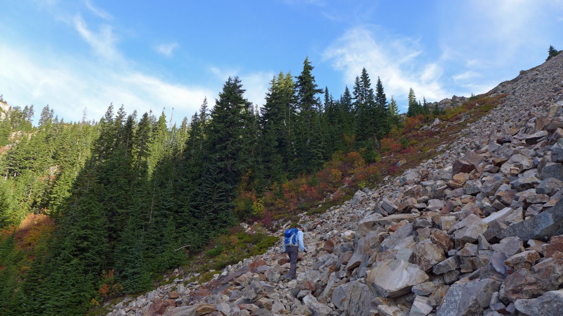
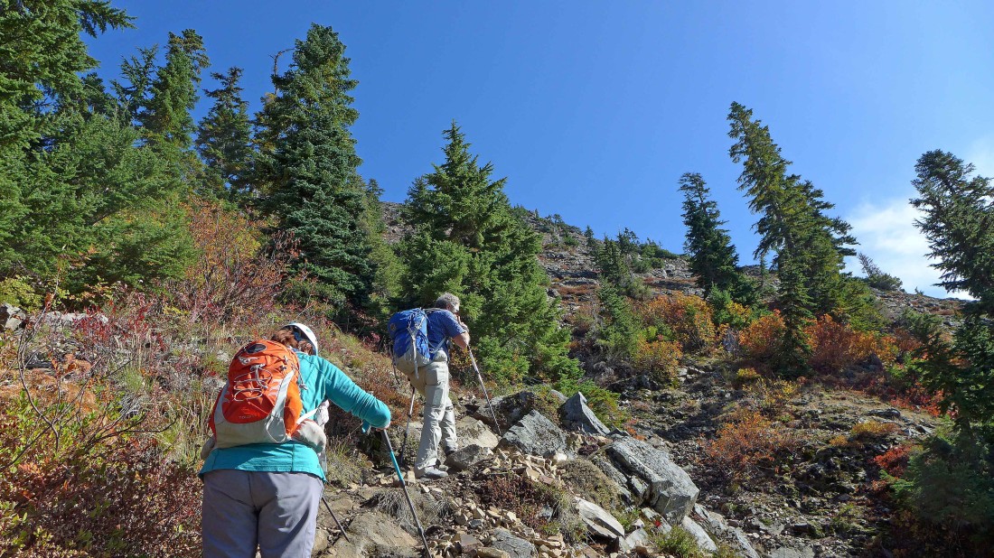
On the Commonwealth Basin Trail heading for Red Pass... the trail makes an upward traverse along the west side of Red Mountain up to the pass.
|
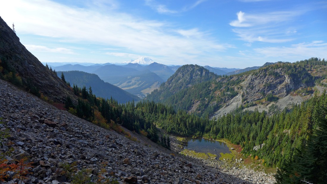
Nearing Red Pass... looking back down Commonwealth Basin to Guye Peak in the center foreground... and across I-90 to the Snoqualmie Pass Ski Area... and on to Mount Rainier on the horizon. Red Pond is below. Cave Ridge is in the right foreground. Tinkham Peak and Silver Peak frame Mt. Rainier.
|
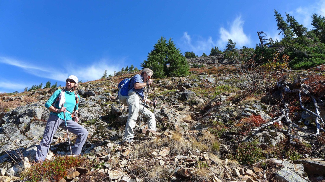
Above Red Pass and heading toward Lundin Peak... the original plan was to climb Lundin, but that didn't quite work out as planned.
|
iraman leads the sheep up toward Lundin Peak.
|
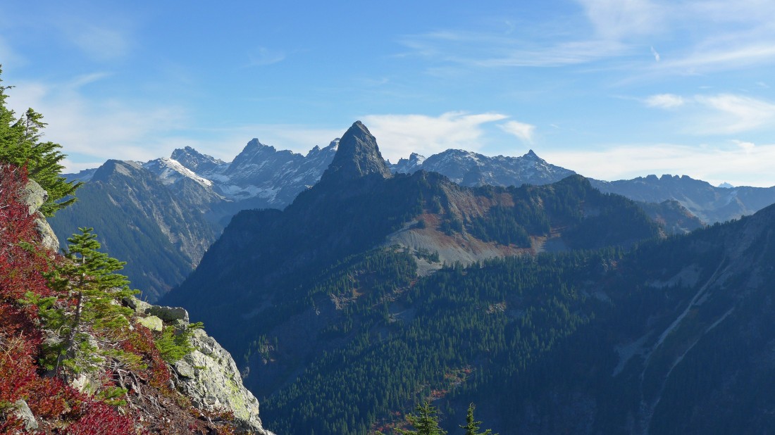
Mt. Thomson dominates in the foreground... with Burnt Boot, Overcoat Peak and Chimney Rock to the left of Thomson... Thomson blocks some of the 5 summits of Lemah Mountain... with Chikamin Peak and Four Brothers to the right of Thomson... the top of Mt. Stuart is barely visible on the far right horizon.
|
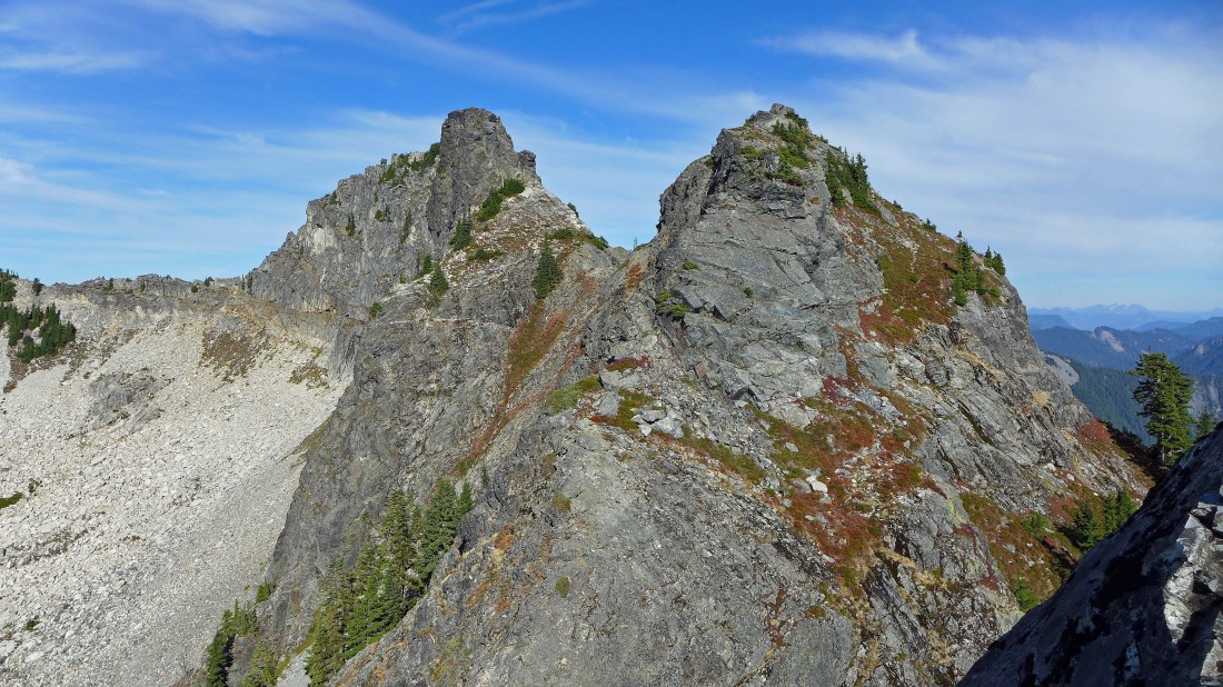
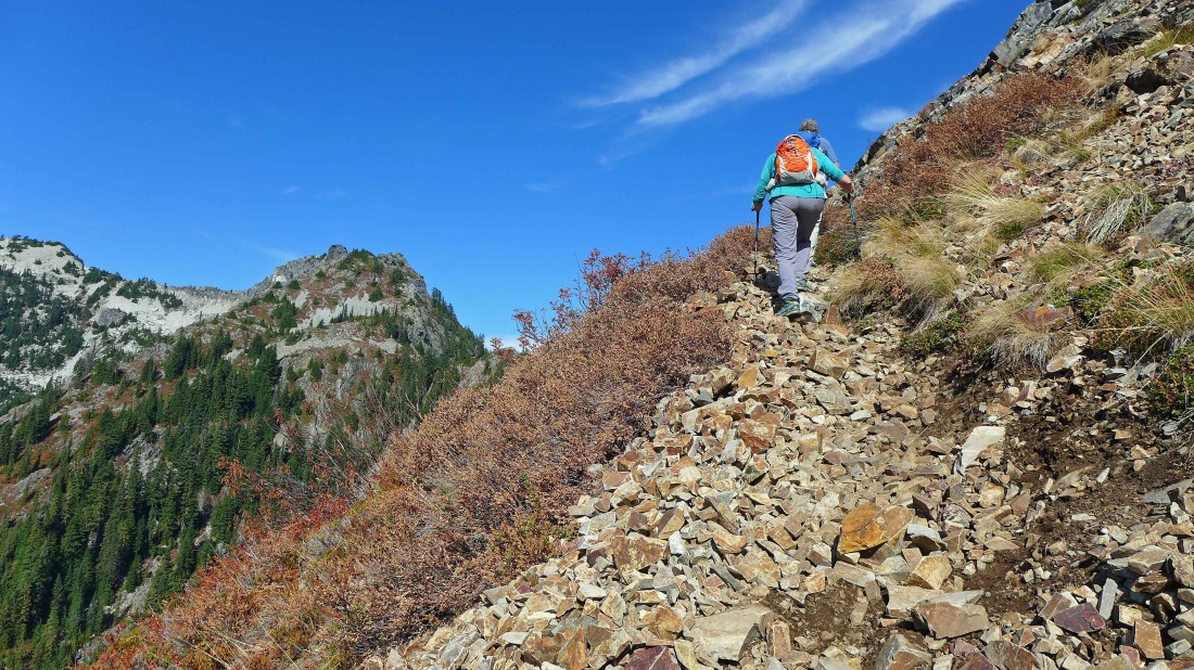
The true summit (left) and east summit of Lundin Peak from our high point... this is just not the best route to do Lundin... we will wail for next spring and use the snow covered gully between the two summits to reach the summit block of the true summit.
|
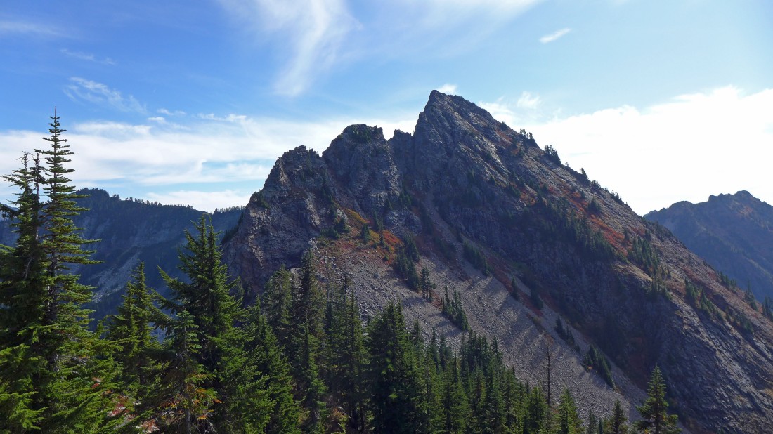
Red Mountain as we head back down to Red Pass... we will continue on down to near Red Pond and find the boot path that will take us up to the summit of Red Mountain.
|
We are near Red Pond... looking up at the general route up to the summit of Red Mountain.
|
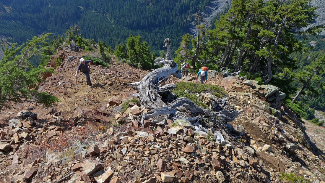
The boot path to the Red summit is pretty obvious.
|
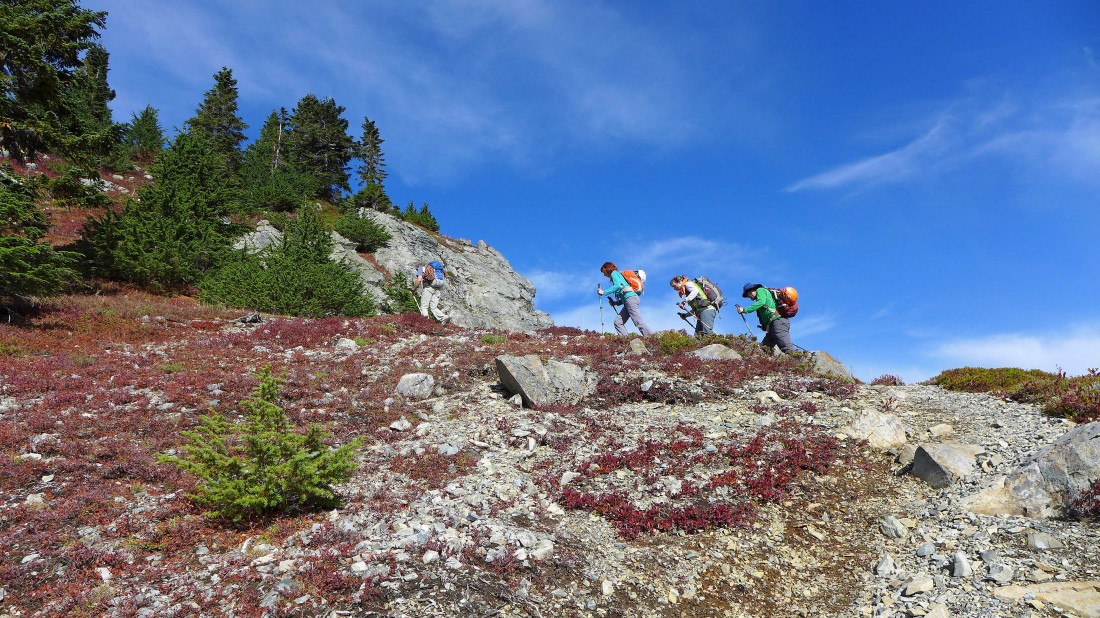
Continuing up the boot path toward the summit of Red Mountain.
|
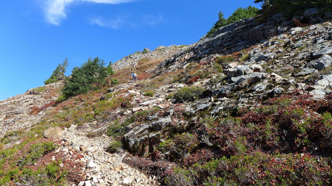
The boot path is really good in places... but not good in most places... Lundin Peak in the distance on the left.
|
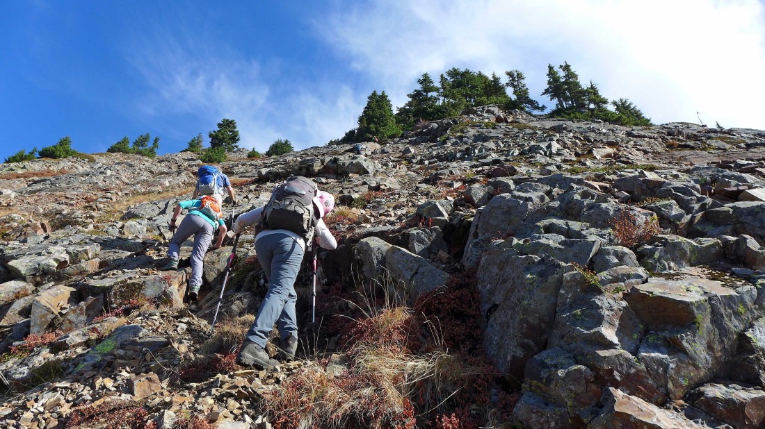
We got a little off the best route about half way up... very easy to do because there are lots of paths.
|
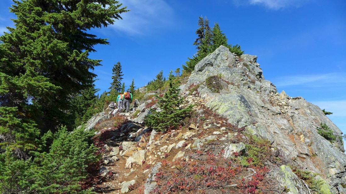
Back on the best path... on the SE rib of the mountain.
|
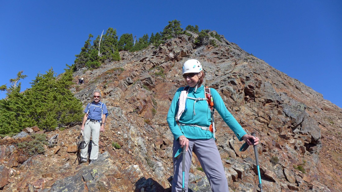
Working our way up the SE rib of Red Mountain.
|
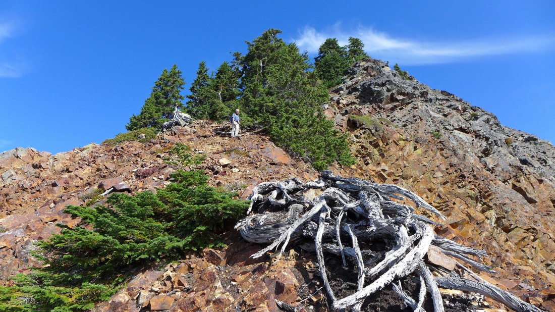
At ~5600 feet the terrain gets a bit easier.
|
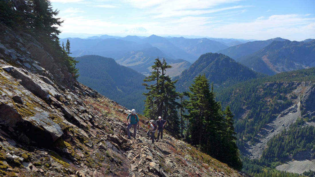
Nearing the summit of Red Mountain... Snoqualmie Pass and Mt. Rainier in the distance.
|
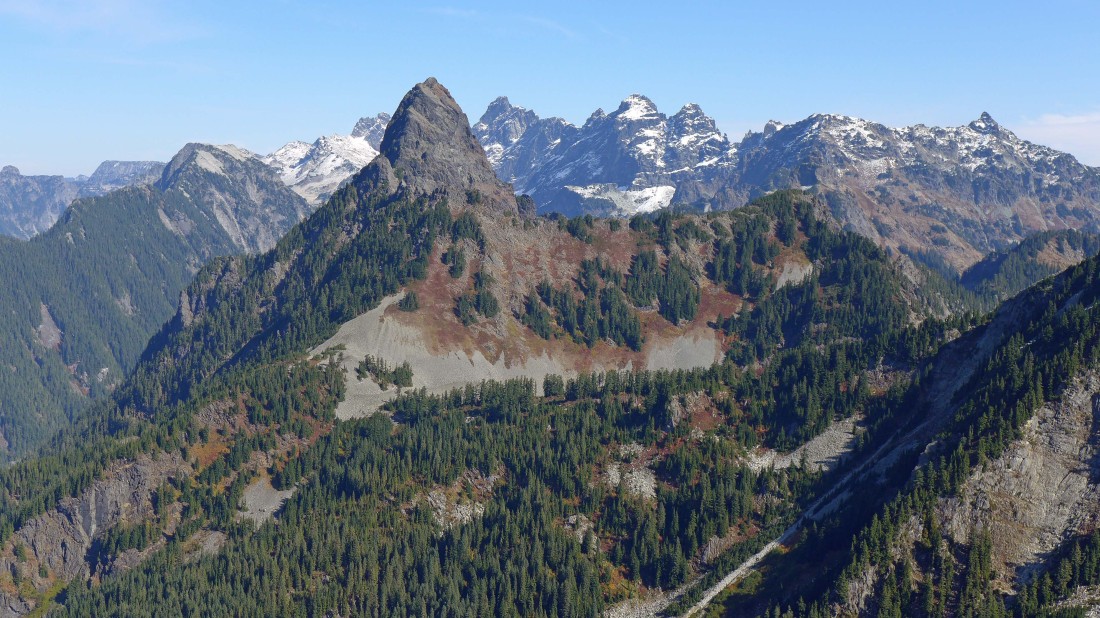
Now we can see Chimney Rock and all 5 summits of Lemah Mountain to the right of Mt. Thomson... with Chikamin Peak the little pyramid on the far right... Burnt Boot is to the left of Thomson.
|
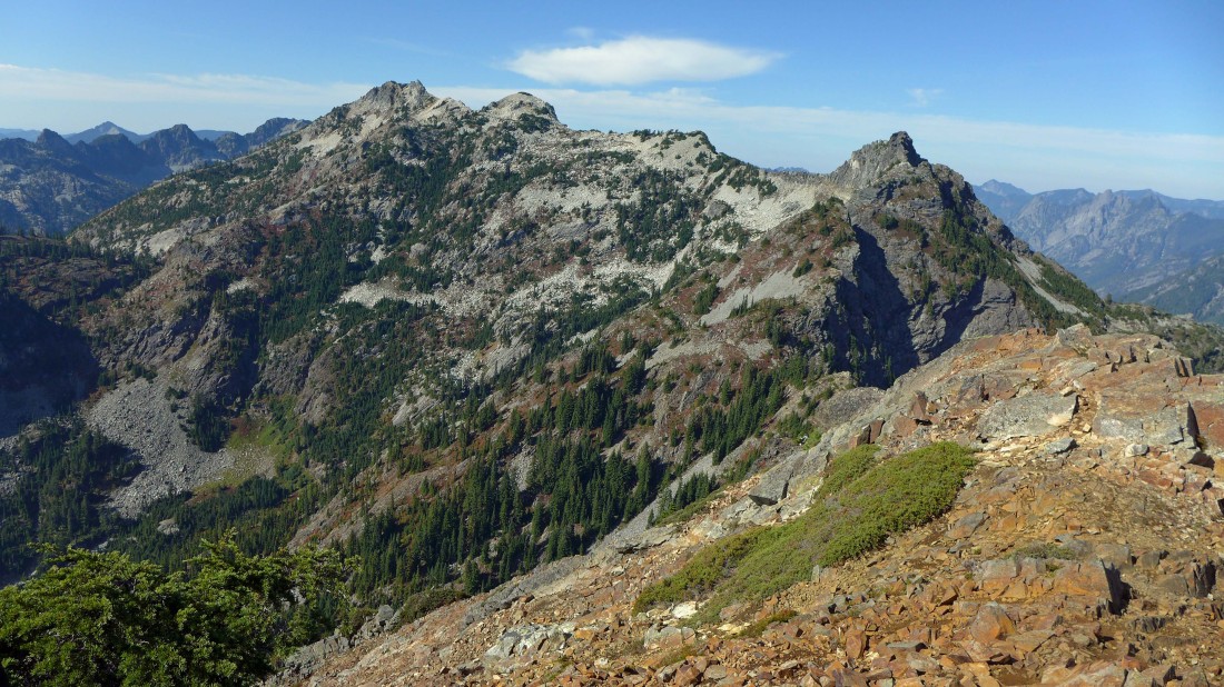
Snoqualmie Mountain and Lundin Peak from the summit (5890') of Red Mountain.
|
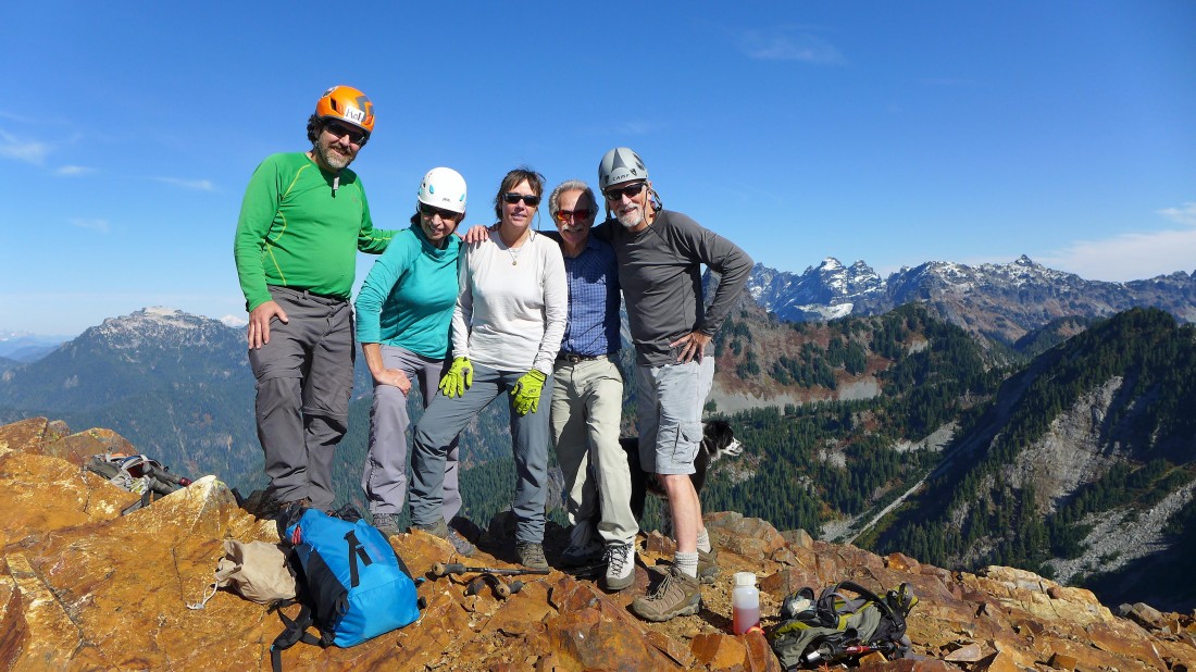
Summit selfie... left to right... Rob, Barb, Elle, Ira and me.
|
On our way back down to Red Pond... it is easier to stay on the best path when going down... from Red Pond it is a 2.7 mile hike back to the car.
|
