Earl Peak - 10.24.2017
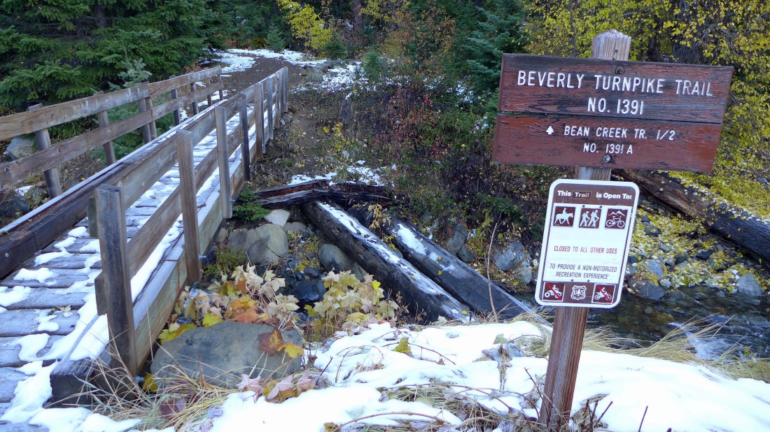
We parked (~3650') at the Beverly Turnpike Trailhead... our trip was 6.9 miles roundtrip, gaining 3378 feet of elevation.
|
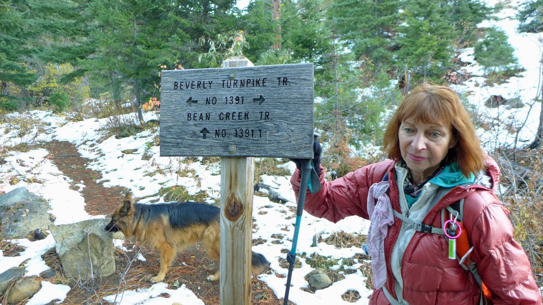
After hiking the Beverly Turnpike Trail for .4 miles we turned to the right and headed up the Bean Creek Trail.
|
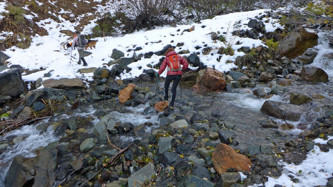
Crossing Bean Creek (~4200') after hiking a total of .8 miles.
|
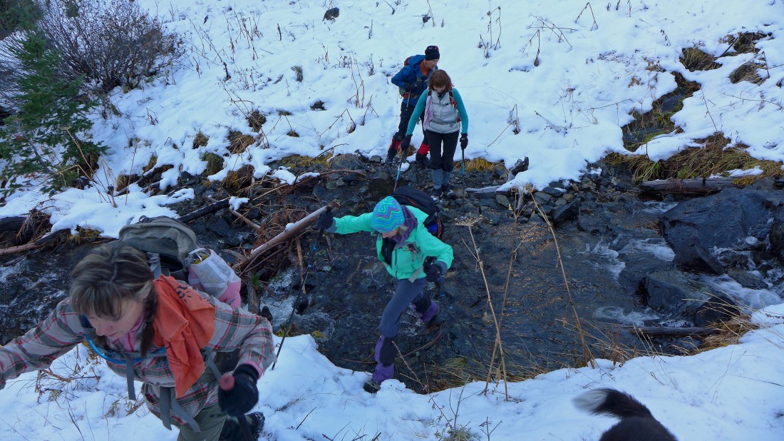
The second crossing (~5040') of Bean Creek after hiking a total of 1.9 miles... fairly quickly we will start switch-backing our way up to the saddle that separates the Bean Creek drainage and the Standup Creek drainage.
|
We reached the Bean/Standup saddle (~6200') after hiking a total of 2.9 miles... and got this view of Judis Peak and Marys Peak in the center of the photo.
|
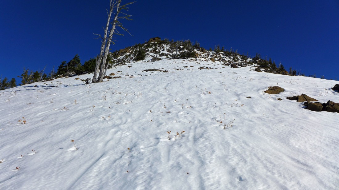
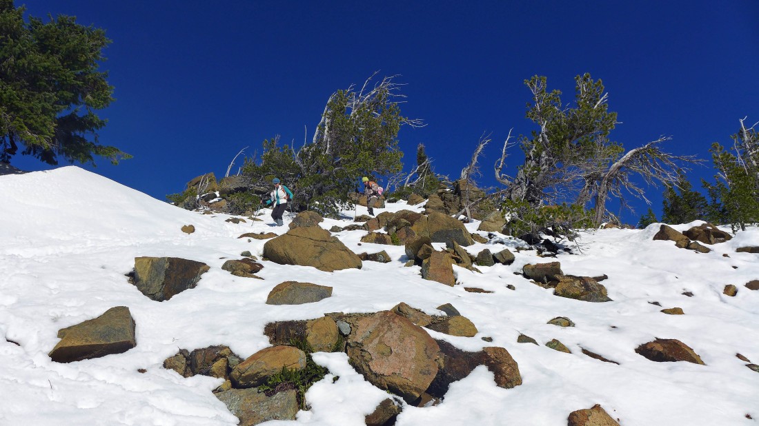
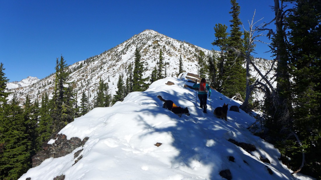
Looking up at one of Earl's false summits from the Bean/Standup saddle.
|
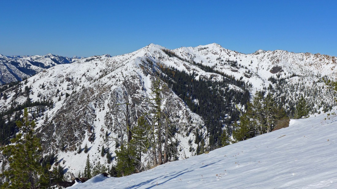
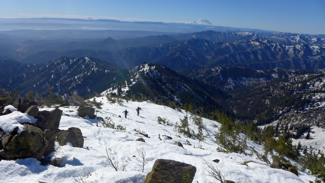
Slogging up the south ridge of Earl Peak... every step higher brings nicer views... looking down into Bean Creek Basin... Judi, Mary and Bean surround the basin... with Mt. Stuart and Sherpa Peak in the distance on the far right... Bills Peak, Fortune Peak and Ingalls Peak are beyond the Mary/Bean ridge.
|
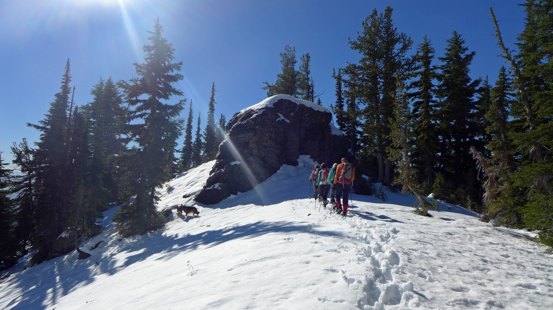
Summit in view.
|
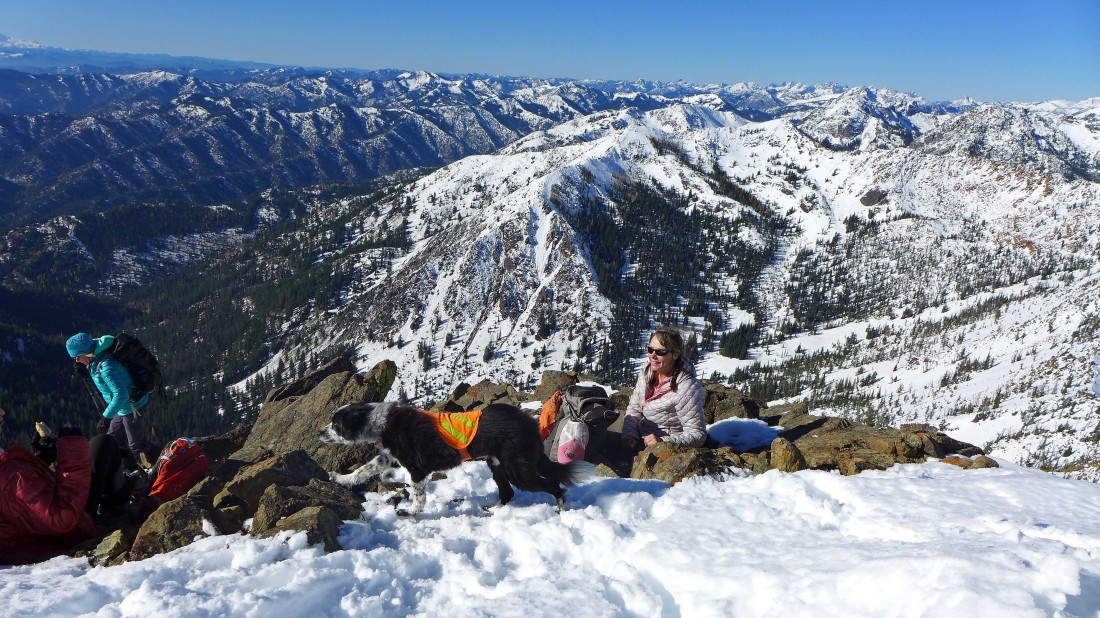
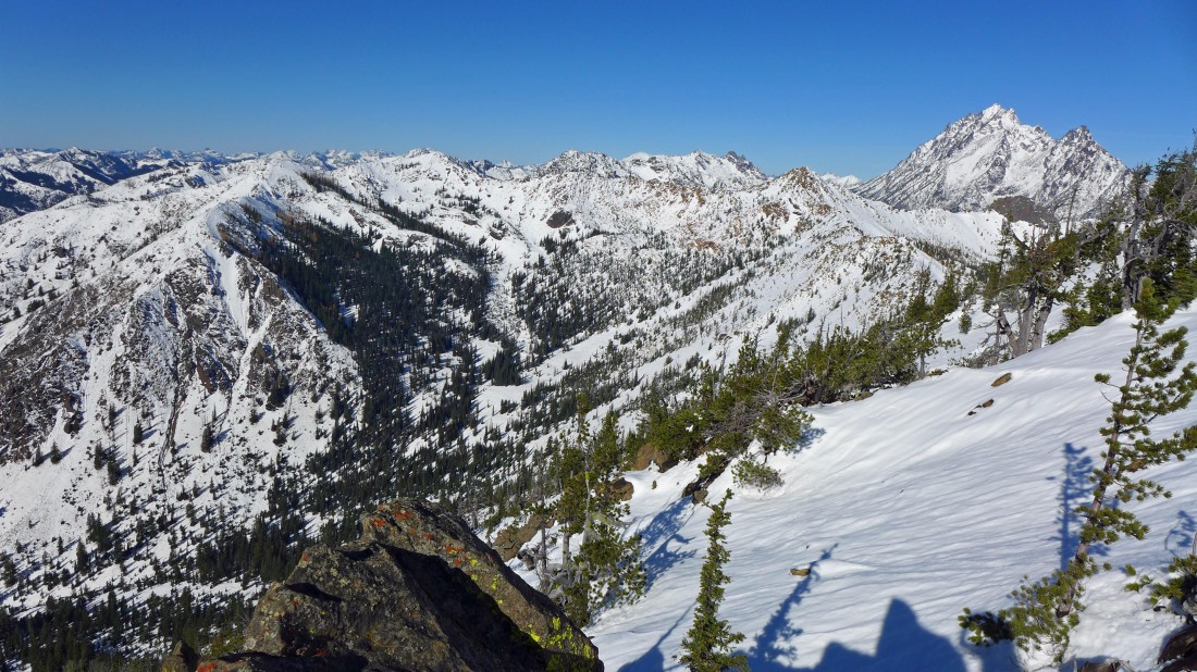
After hiking a total of 3.4 miles we reached the summit (7036')... here we are looking to the west... Bean Creek Basin is in the right foreground.
|
Looking NW and north from Earl's summit... the Stuart Range dominates.
|
Looking east from Earl's summit... Navaho Peak and the west summit of Three Brothers are in the left foreground... with the tippy top of Three Brothers old lookout site visible between them... Miller Peak and Freedom Peak are in the right foreground.
|
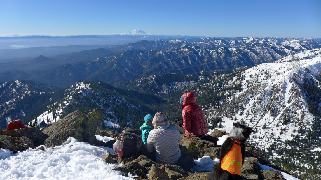
Looking south from Earl's summit... with Mt. Rainier on the center horizon... with Mt. Adams on the extreme left horizon.
|
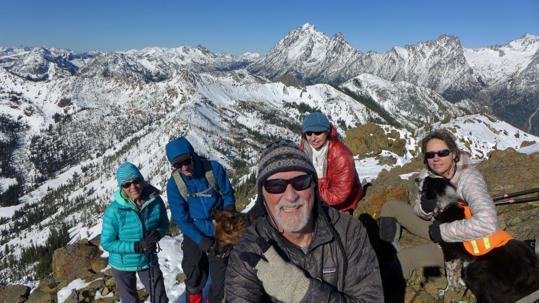
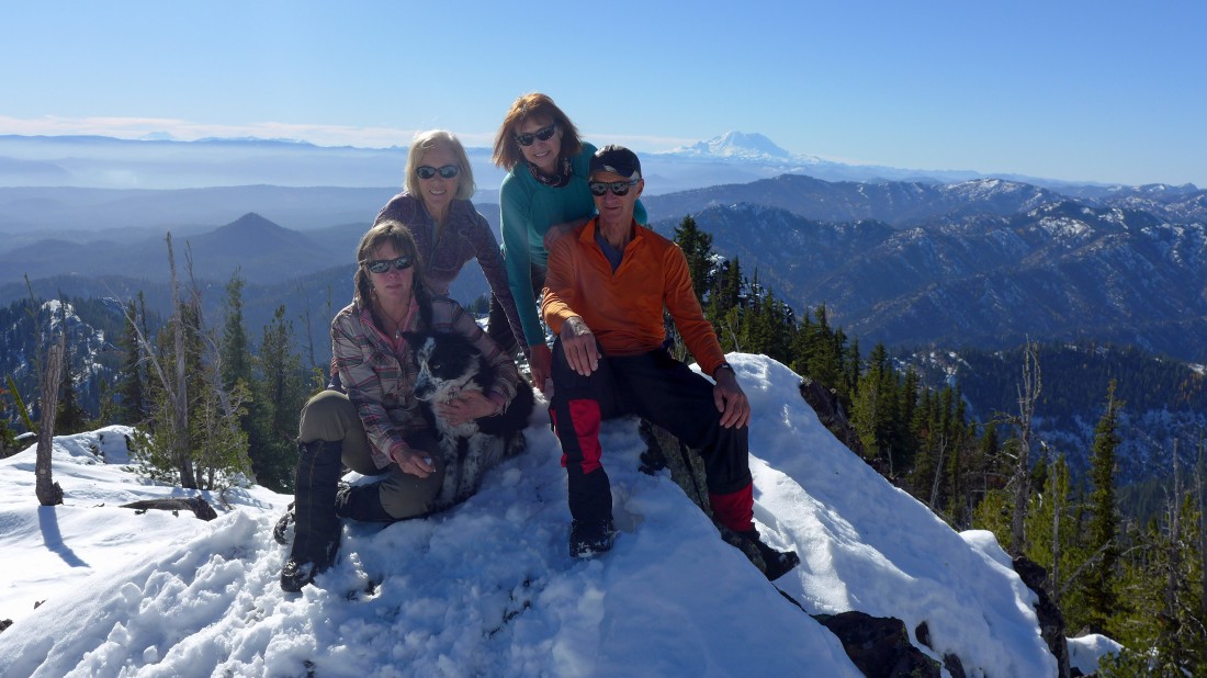
Mandatory summit selfie... left-to-right... Sahale, madman, Luna, me, BarbE and Snowdog holding Izzy... with lots of better looking things behind us.
|
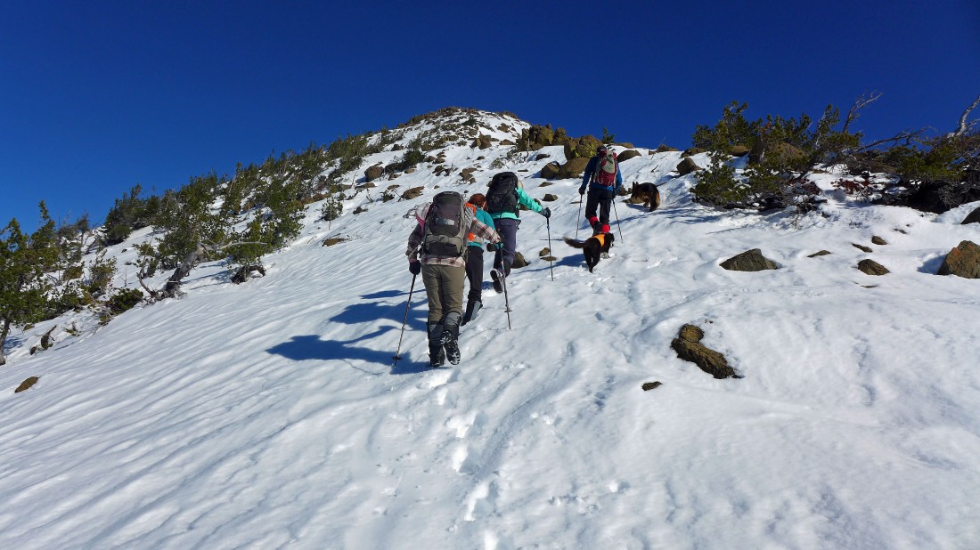
Heading back down to the Bean/Standup saddle.
|
BarbE and Snowdog coming down to the Bean/Standup saddle.
|
We got back down to the saddle... it was still early so instead of heading down we decided to continue a little further south along the ridge.
|
After hiking along the ridge for less than an eighth of a mile we found a nice little perch.
|
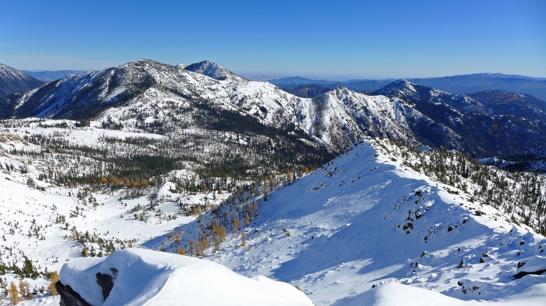
And we got this view of Bean Creek Basin in the left foreground... and Earl Peak in the right foreground.
|
Heading back toward the Bean/Standup saddle... where we will follow our steps back down to Bean Creek.
|
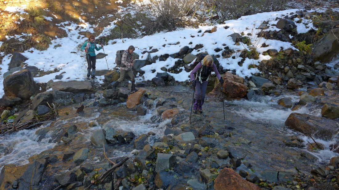
Recrossing Bean Creek where we first crossed it in the morning... .8 miles of hiking will get us back to the cars.
|
