Freedom Peak and Navaho Peak - 10.31.2017
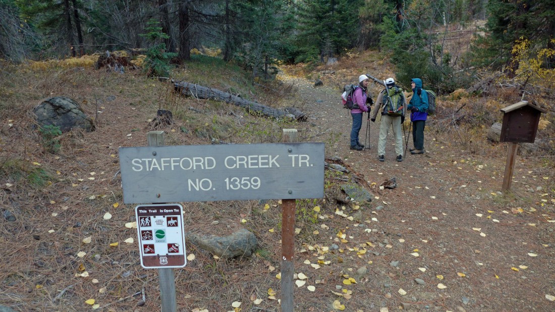
We parked at ~3060 feet and started hiking at the trailhead for Stafford Creek Trail #1359... our trip was 12.2 miles roundtrip, gaining 4780 feet of elevation.
|
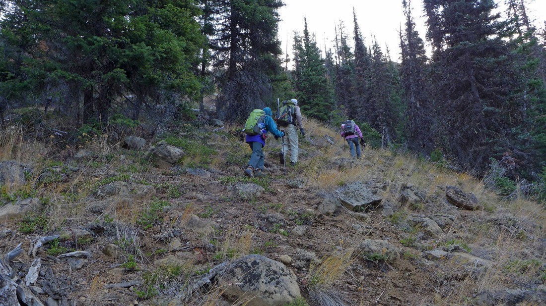
After hiking the trail for ~2.2 miles we left the trail at ~4030 feet and headed cross-country.
|
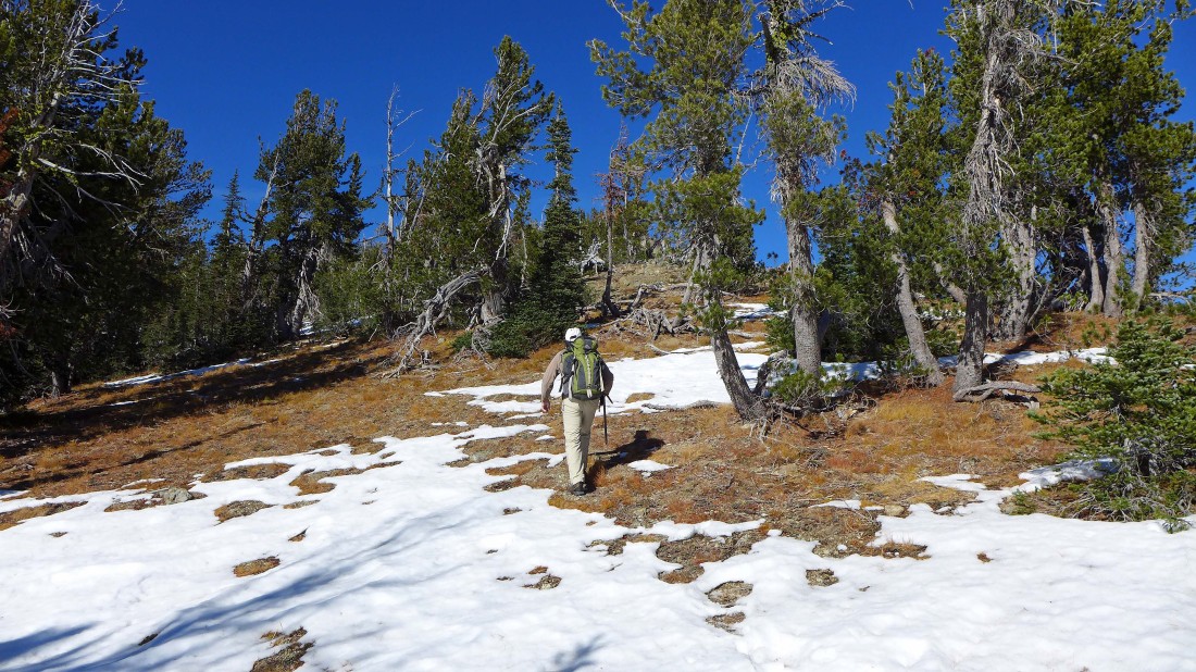
While the cross-country travel was pretty steep it wasn't very brushy.
|
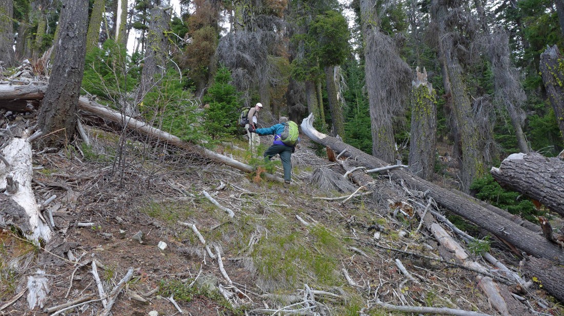
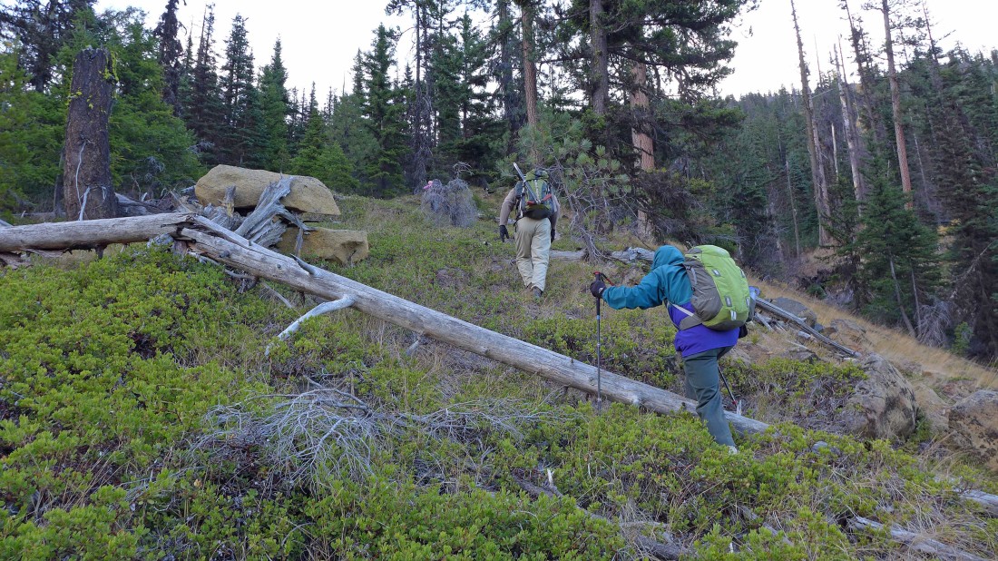
It was necessary to go over or around some down trees.
|
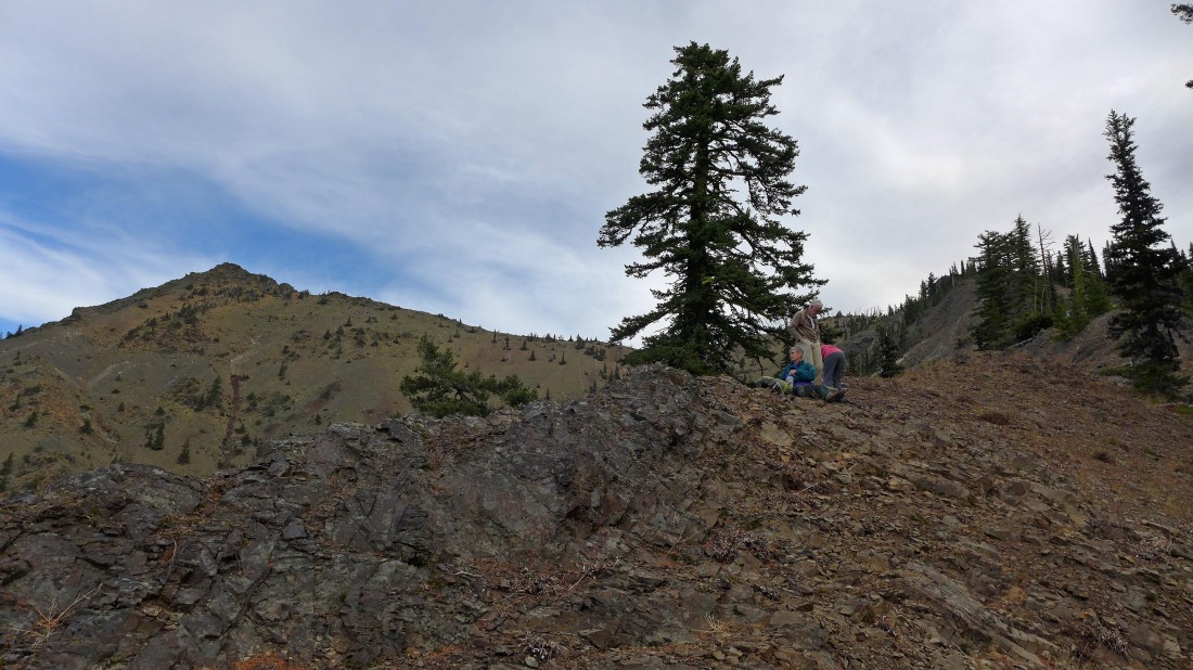
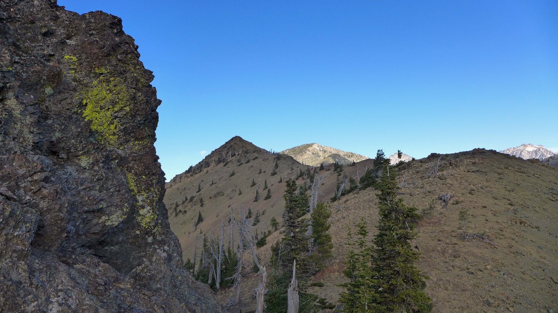
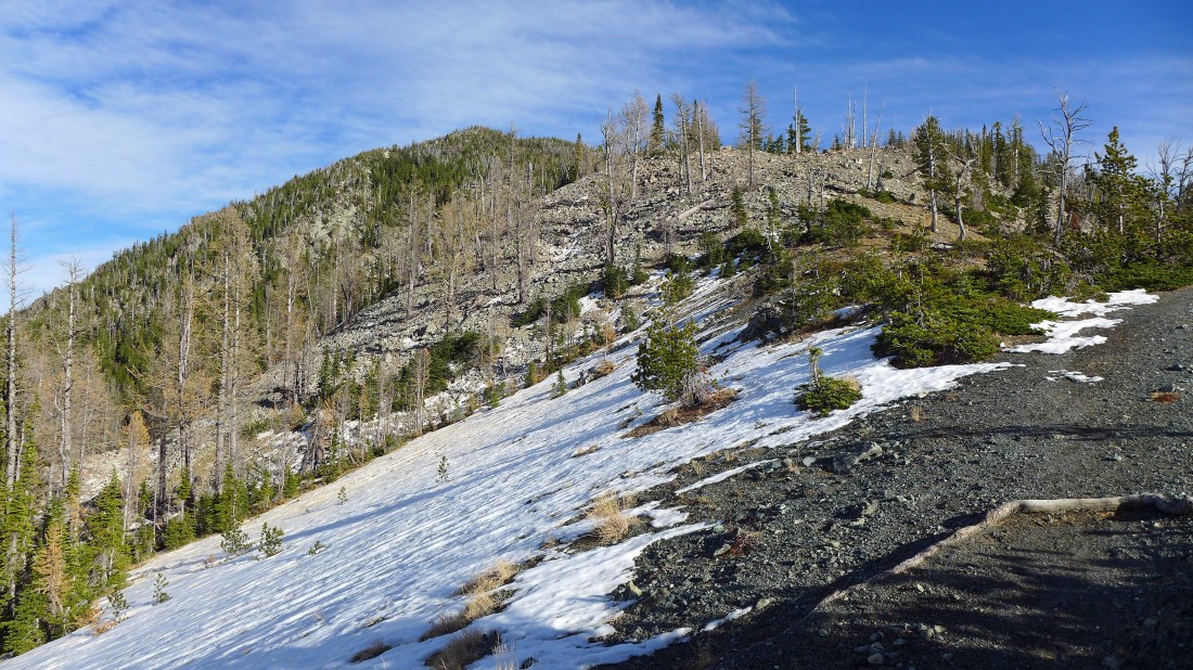
A few hundred feet below the ridge we got our first good look at Freedom Peak.
|
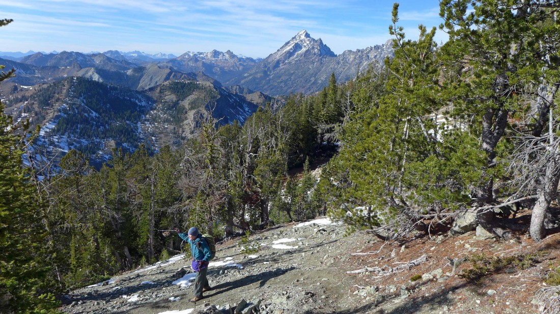
Mt. Stuart and Sherpa Peak make an appearance as we continue up to Freedom's SE ridge.
|
Continuing up to Freedom's SE ridge.
|
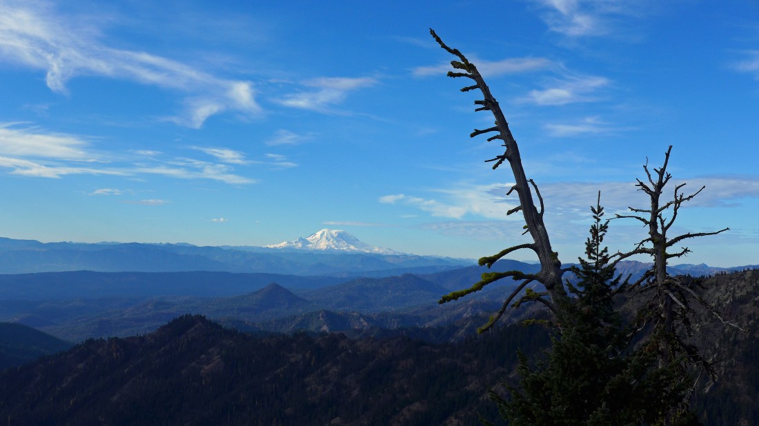
As we gain elevation up to Freedom's SE ridge we got this look at Mt. Rainier to the south.
|
After hiking a total of 3.3 miles we have reached the SE ridge (~6000') of Freedom Peak... that was 2000 feet of elevation gain in 1.1 miles from the trail up to the ridge.
|
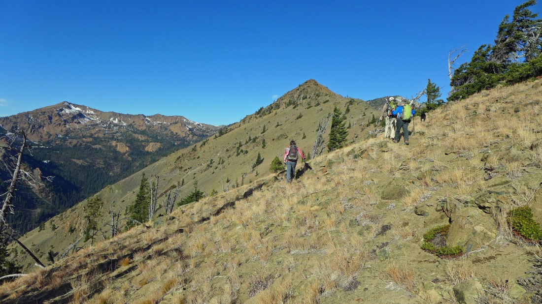
Heading for the summit of Freedom Peak in the foreground... Earl Peak in the distance on the left.
|
Continuing along the SE ridge of Freedom Peak.
|
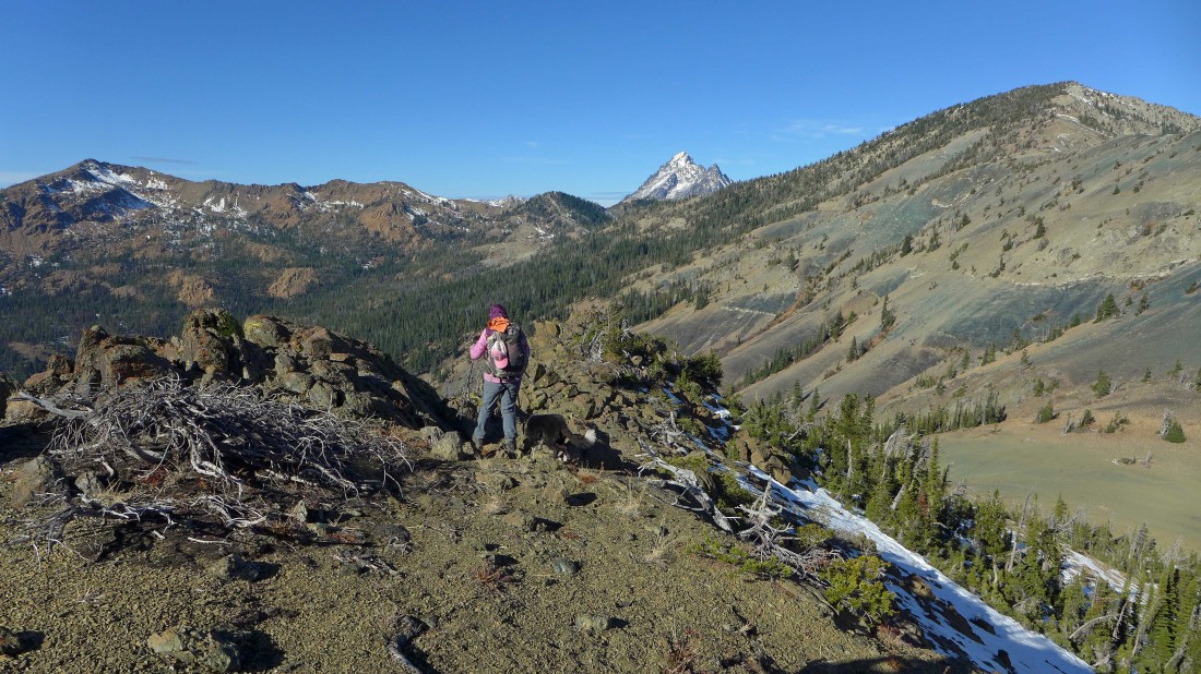
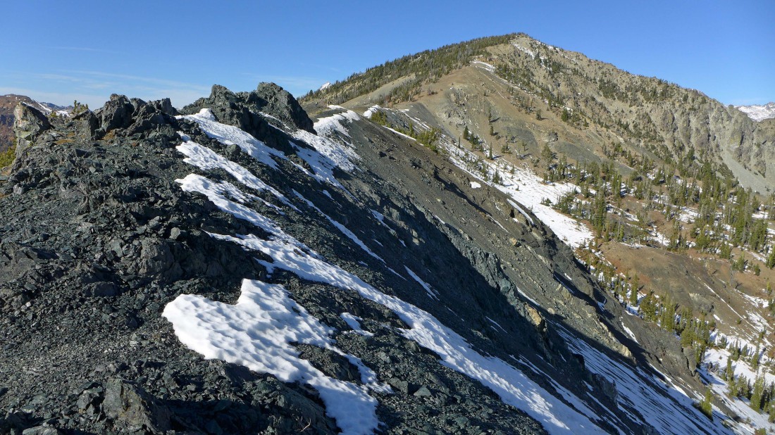
Getting closer to the summit of Freedom Peak... Earl Peak on the left... and Navaho Peak on the right... we will cross over Freedom and continue on to Navaho.
|
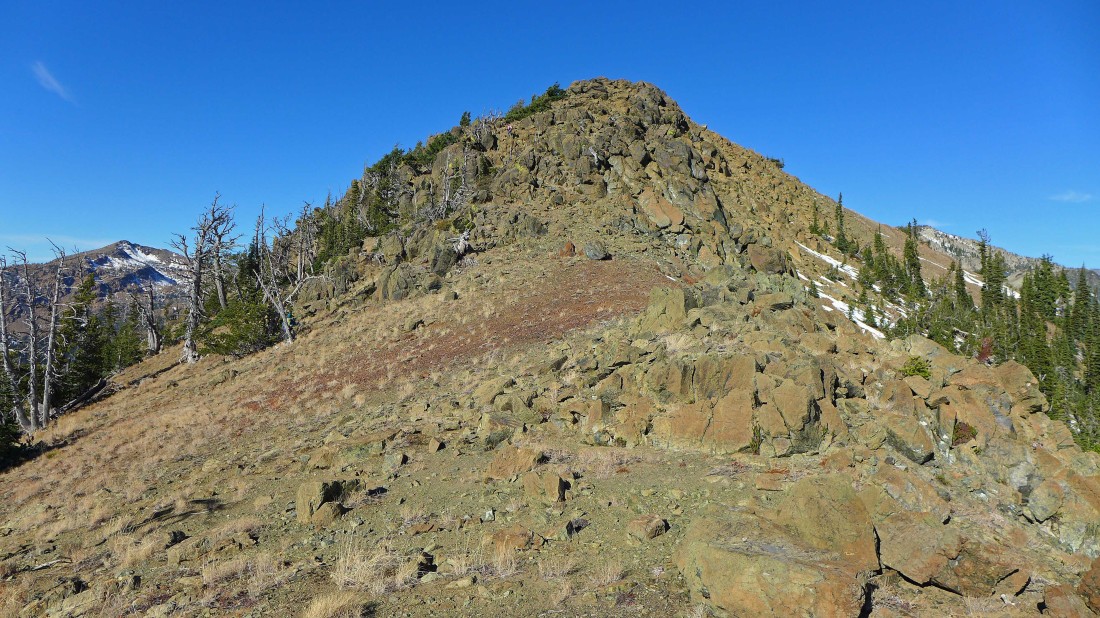
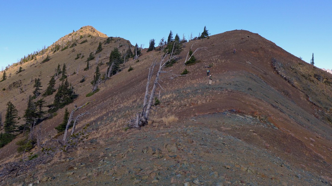
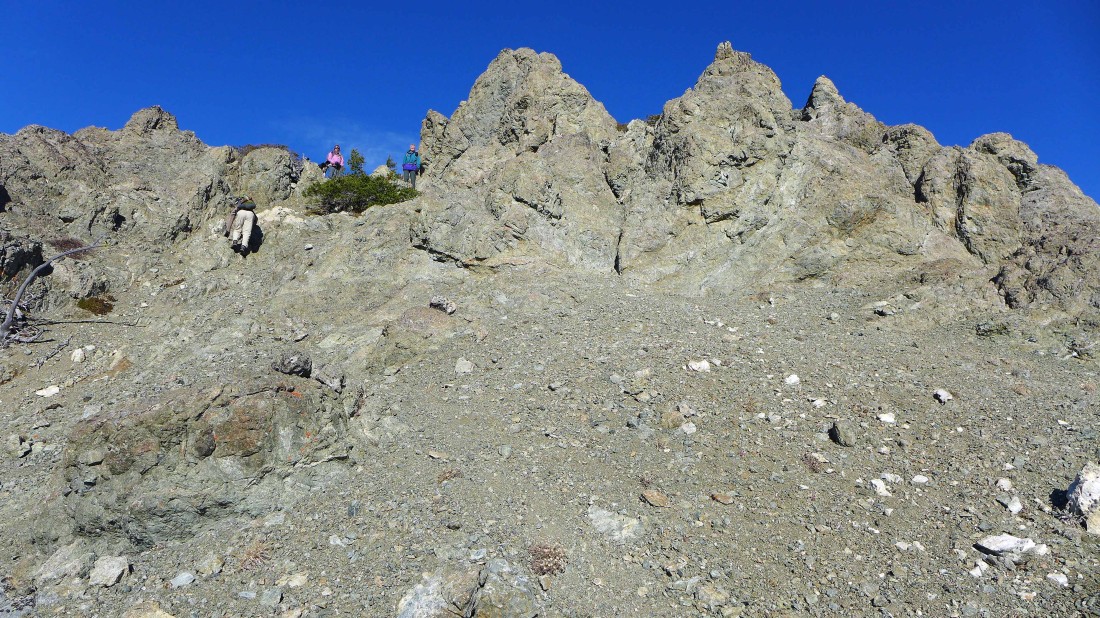
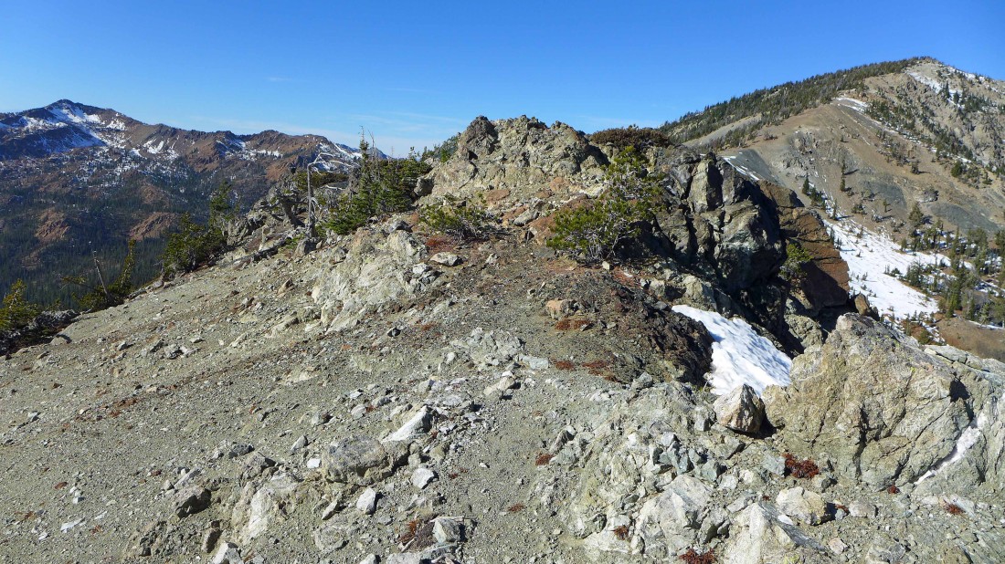
Closing ground on the summit of Freedom Peak... more rocky the closer we get.
|
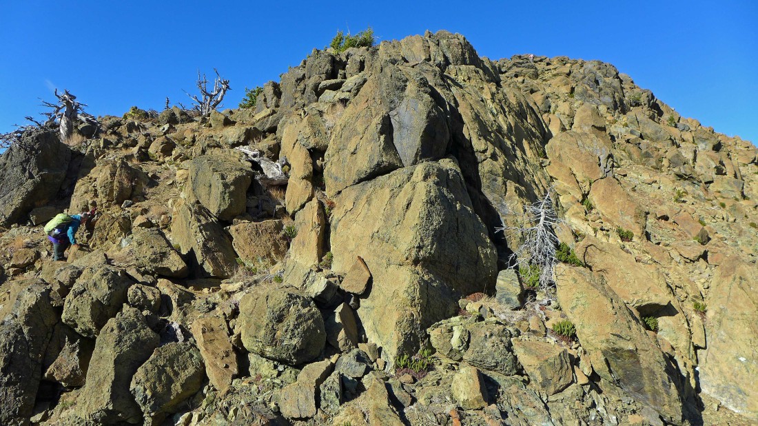
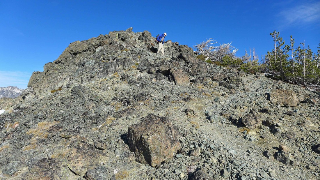
In the big rocks now... nothing more involved than Class 2 climbing.
|
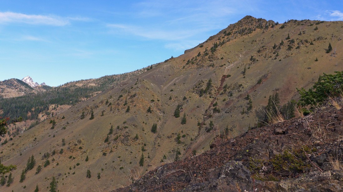
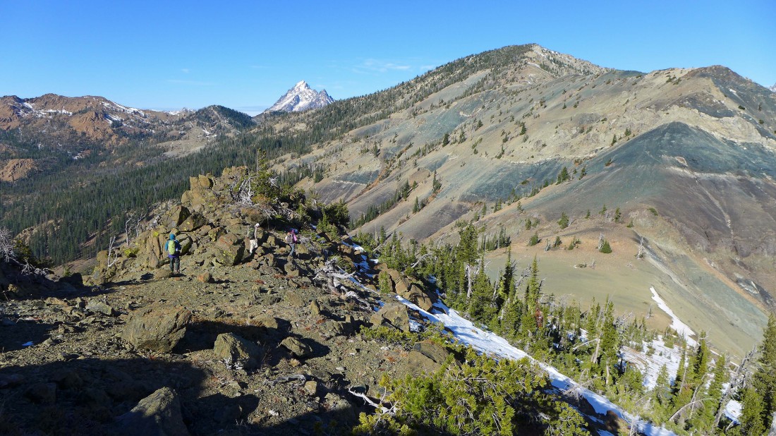
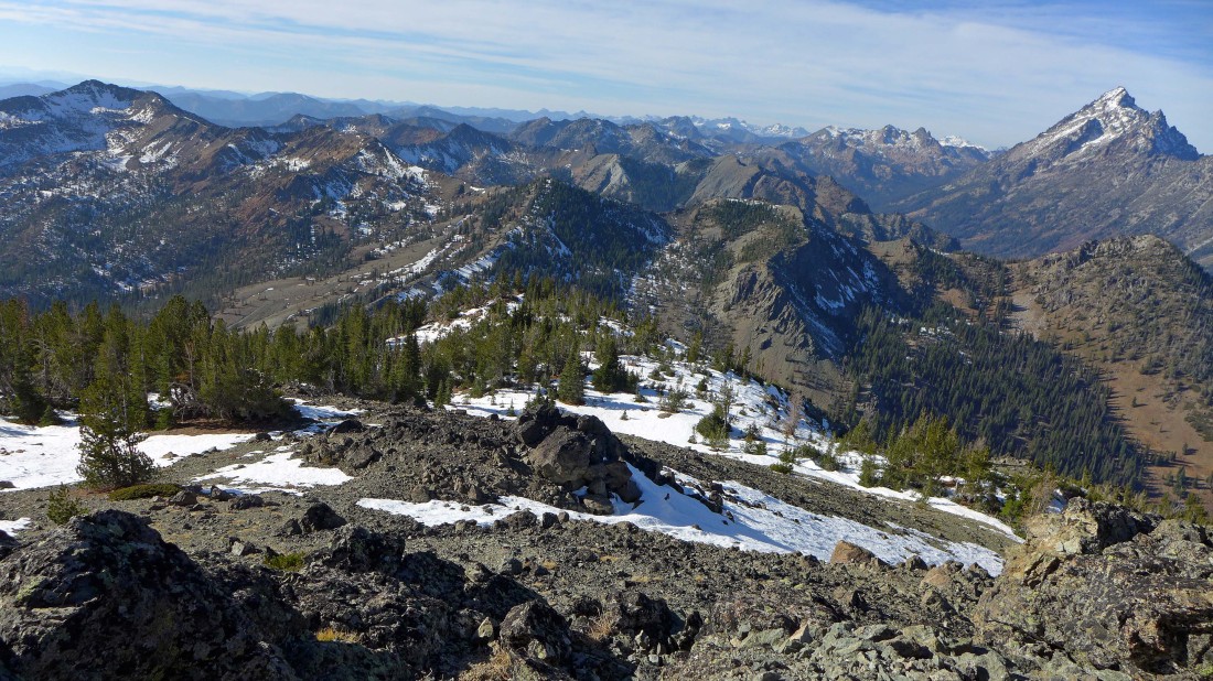
Nearing the summit of Freedom Peak... looking back at our approximate route up to the ridge from the valley below.
|
|
After hiking a total of 3.9 miles we have reached the Freedom Peak summit (6442')... we will continue along the ridge to the summit of Navaho Peak... Earl Peak on the far left... with the Stuart Range beyond Navaho.
|
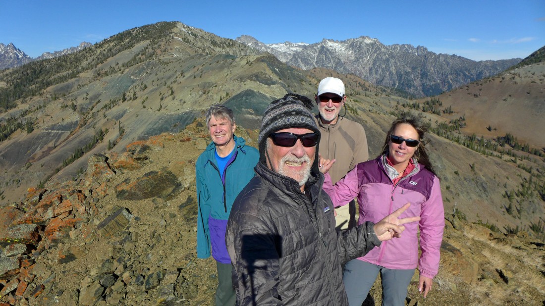
A selfie from the summit of Freedom Peak.
|
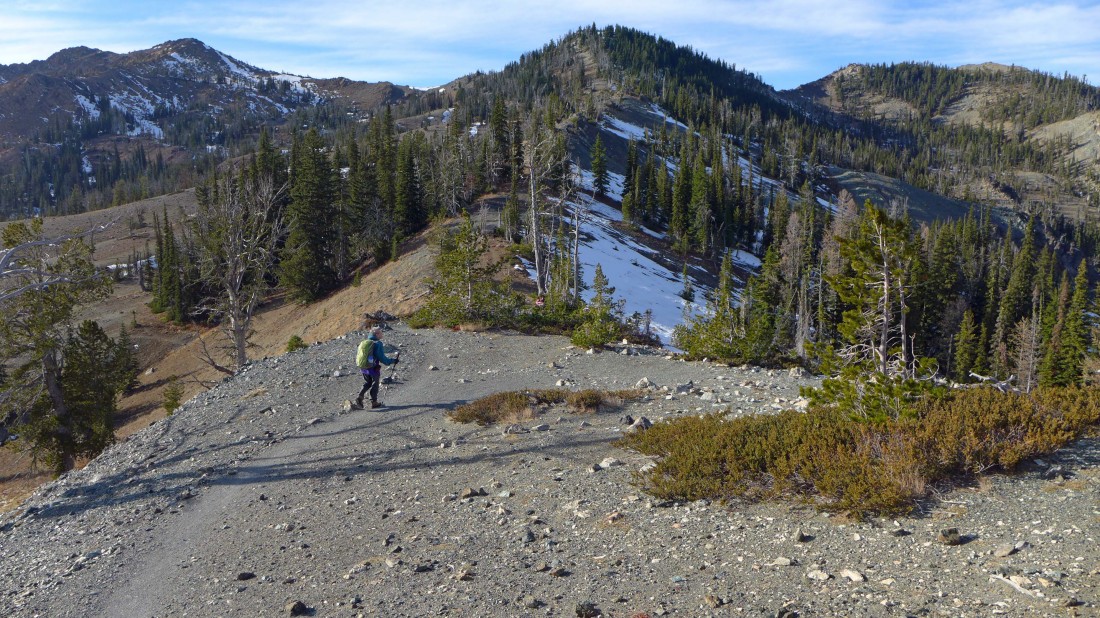
Leaving the summit of Freedom Peak and heading down to the saddle that separates Freedom Peak from Navaho Peak.
|
We will have to give up 450 feet of elevation to get down to the saddle.
|
After hiking a total of 4.2 miles we have reached the saddle (~6000') that separates Freedom from Navaho.
|
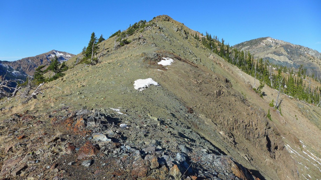
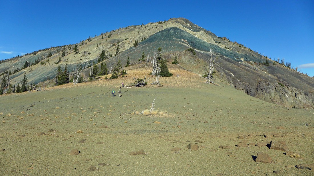
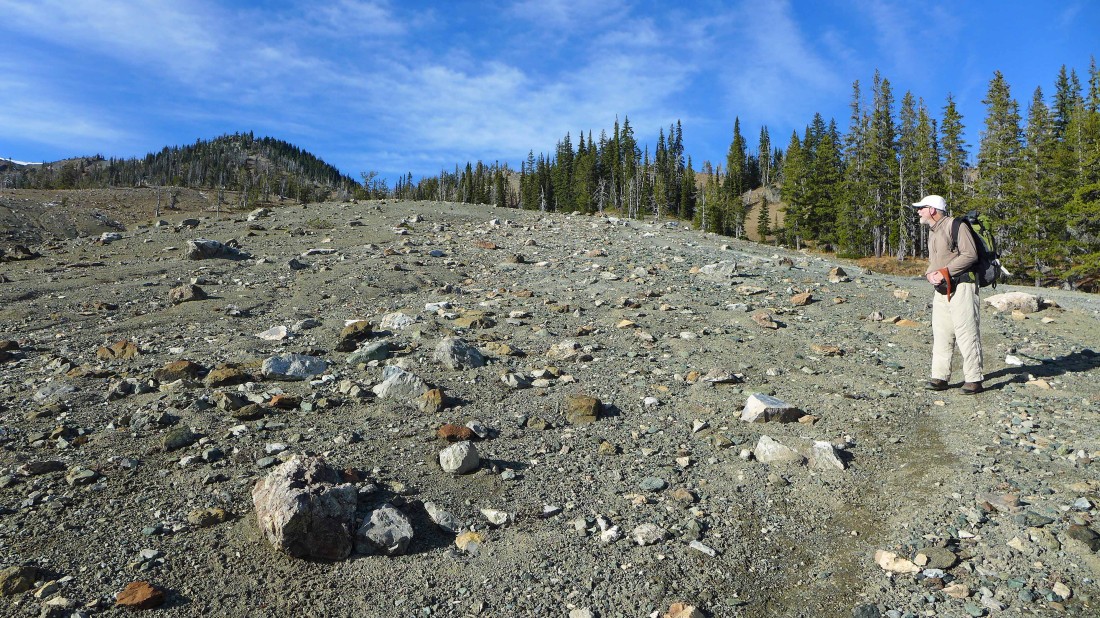
Time to start gaining elevation to get up to the SE shoulder of Navaho Peak... looks like a moonscape.
|
Looks so out of place.
|
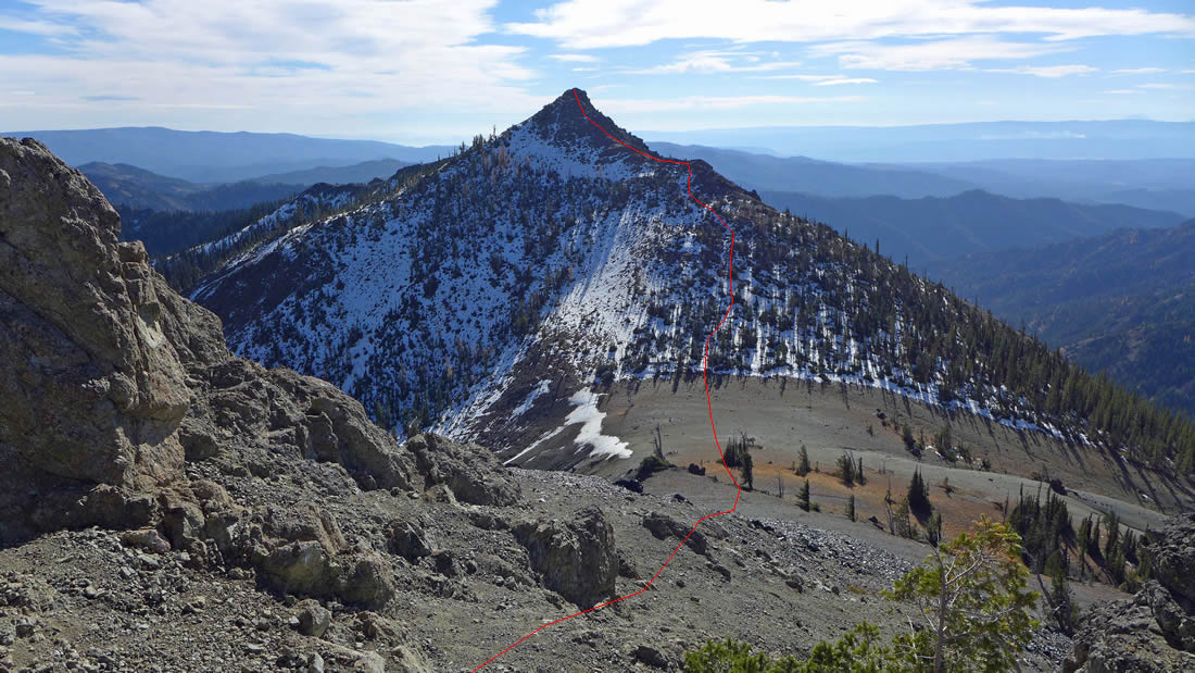
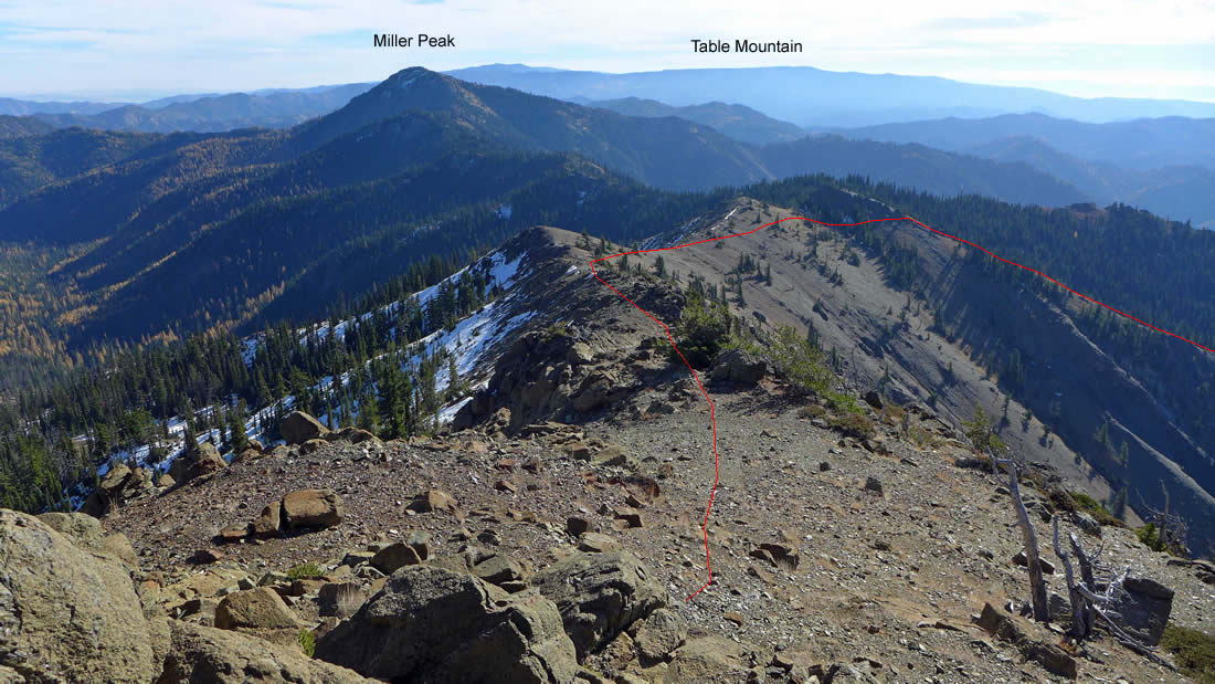
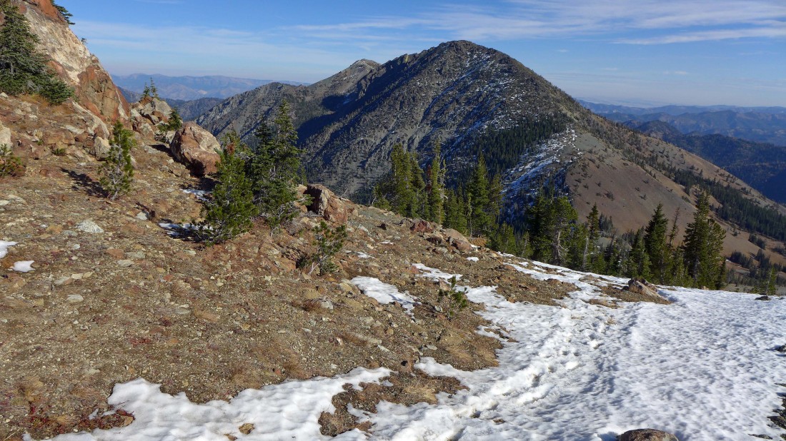
Looking back at our approximate route off of Freedom Peak down to the saddle that separates Freedom and Navaho.
|
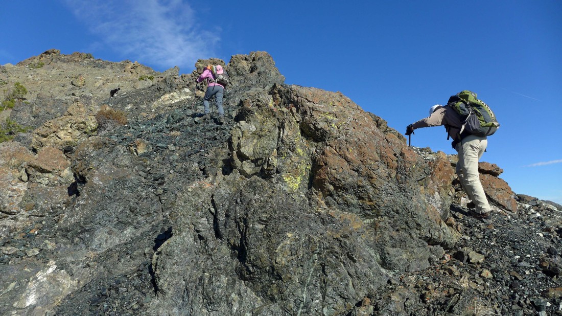
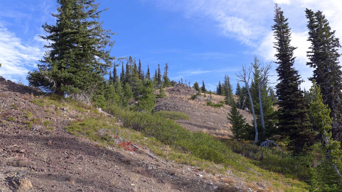
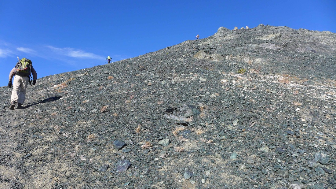
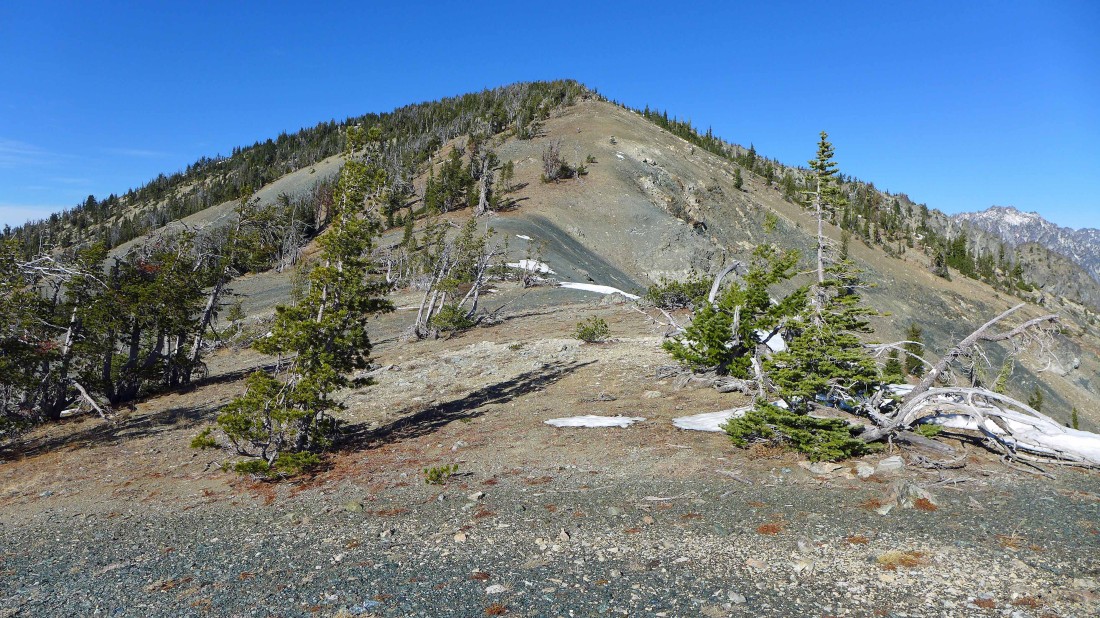
Working our way up to the SE shoulder of Navaho Peak.
|
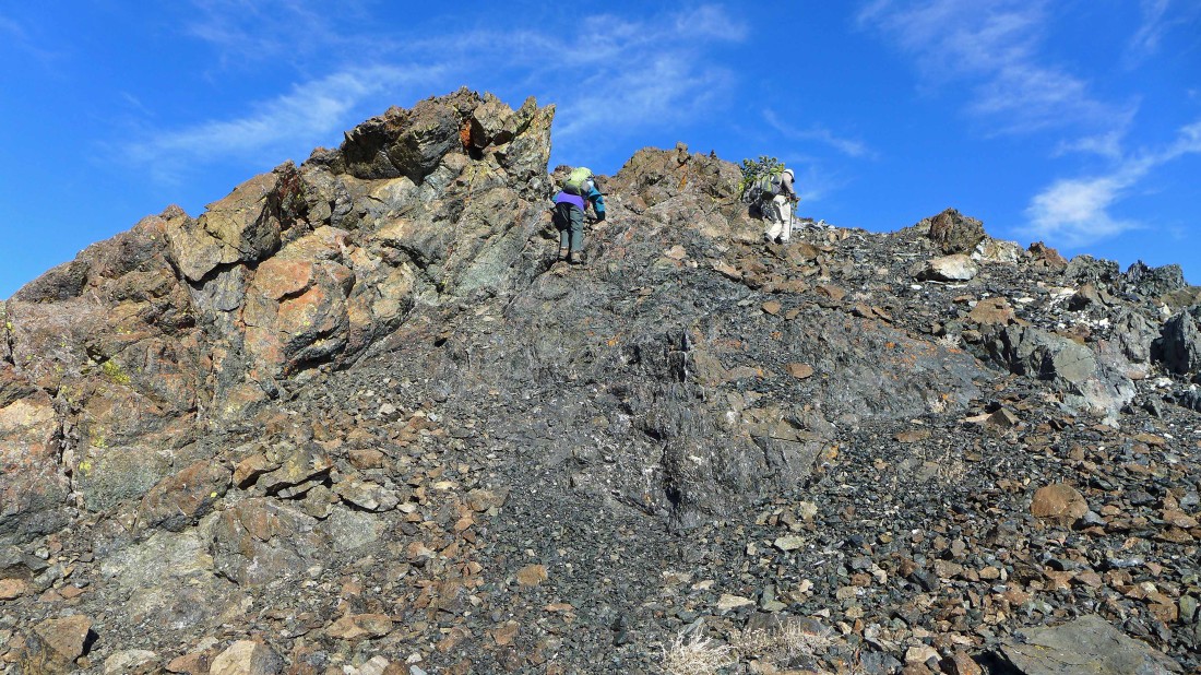
Almost on the SE shoulder of Navaho Peak.
|
|
On the SE shoulder of Navaho Peak... we will follow the ridge on the left up to the Navaho summit... the west summit of Three Brothers in the right foreground... with part of the Stuart Range through the gap.
|
Following the SE shoulder of Navaho Peak... Earl Peak in the distance on the far left.
|
Continuing on the ridge that will lead us to the Navaho summit.
|
A very simple ridge walk will take us up the rest of the way to the Navaho summit.
|
The west summit of Three Brothers... with the Three Brothers old lookout site just to the left and and behind the west summit.
|
Easy ridge walking as we near the summit of Navaho Peak.
|
After hiking a total of 5.4 miles we have reached the Navaho Peak summit (7223')... looking west to Earl Peak on the far left... and NW to Mt. Stuart and Sherpa Peak on the far right.
|
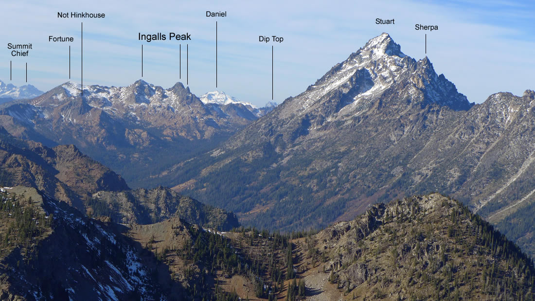
Some peak identification from the summit of Navaho Peak.
|
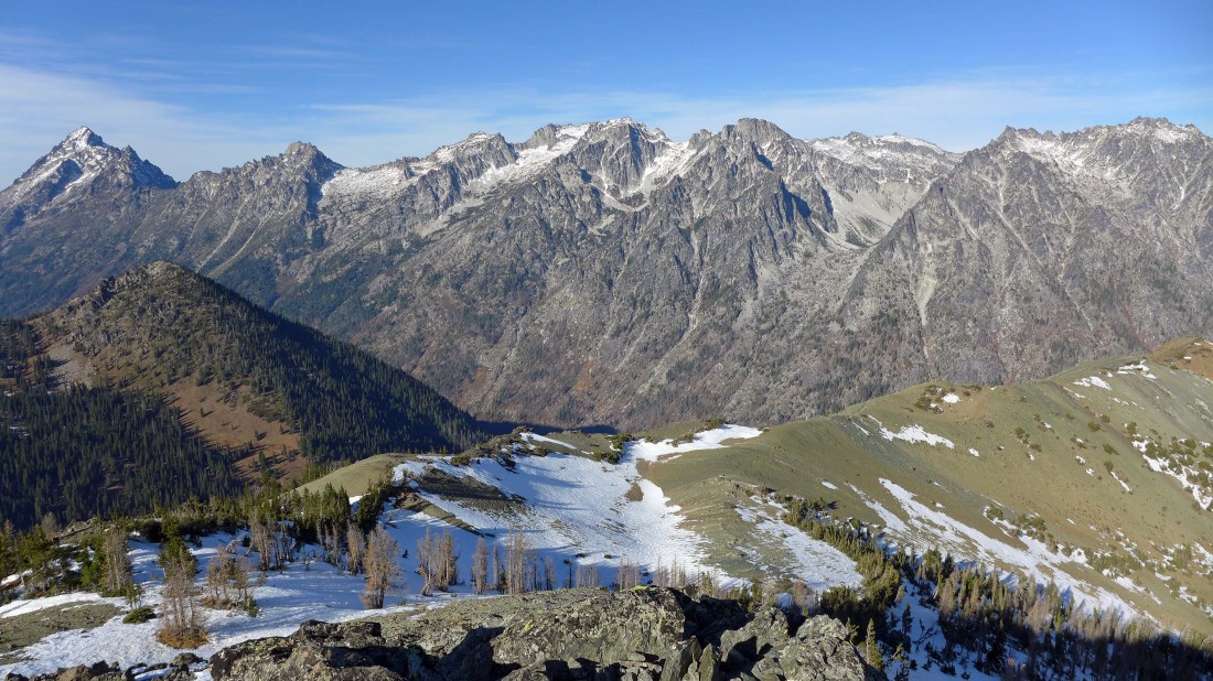
The Stuart Range from the summit of Navaho Peak.
|
Leaving the summit of Navaho Peak we will follow a good path down to ~6450 feet and pick up the County Line Trail.
|
Continuing down to the County Line Trail.
|
On the County Line Trail and heading for Navaho Pass.
|
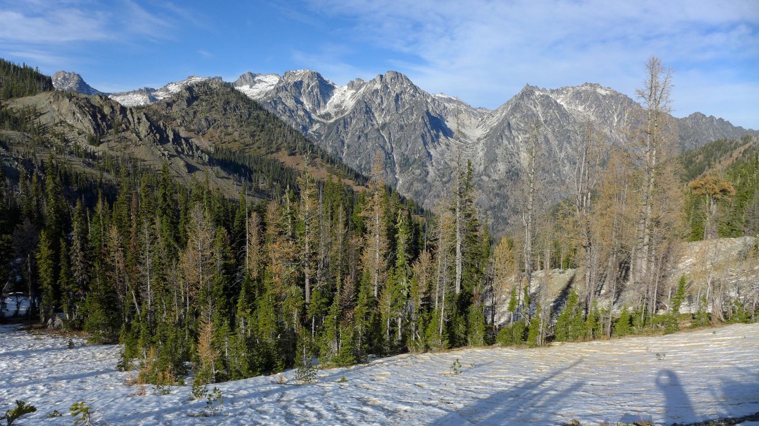
After hiking a total of 6.3 miles we have reached Navaho Pass (~6050')... a pretty nice view of the Stuart Range from the pass.
|
Looking back at the summit of Navaho Peak from Navaho Pass.
|
We have reconnected with the Stafford Creek Trail just below Navaho Pass and have a 5.5 mile trail hike to get back to the car.
|
