Lost Horse Mountain - 2.2.2018

Find the trailhead at the end of the Lost Horse Mine Road... our loop hike will be 4.4 miles roundtrip, gaining 1209 feet of elevation.
|
The trail to the Lost Horse Mine is really an abandoned road.
|

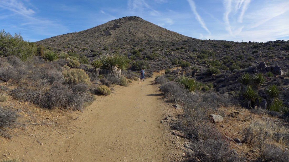
After hiking the road for a mile or so we can see Lost Horse Benchmark on the left and Lost Horse Mountain straight ahead.
|

Looking back at Ryan Mountain as we continue toward the Lost Horse Mine.
|
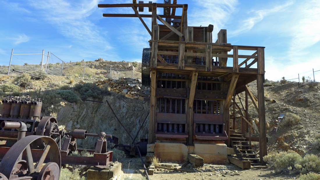
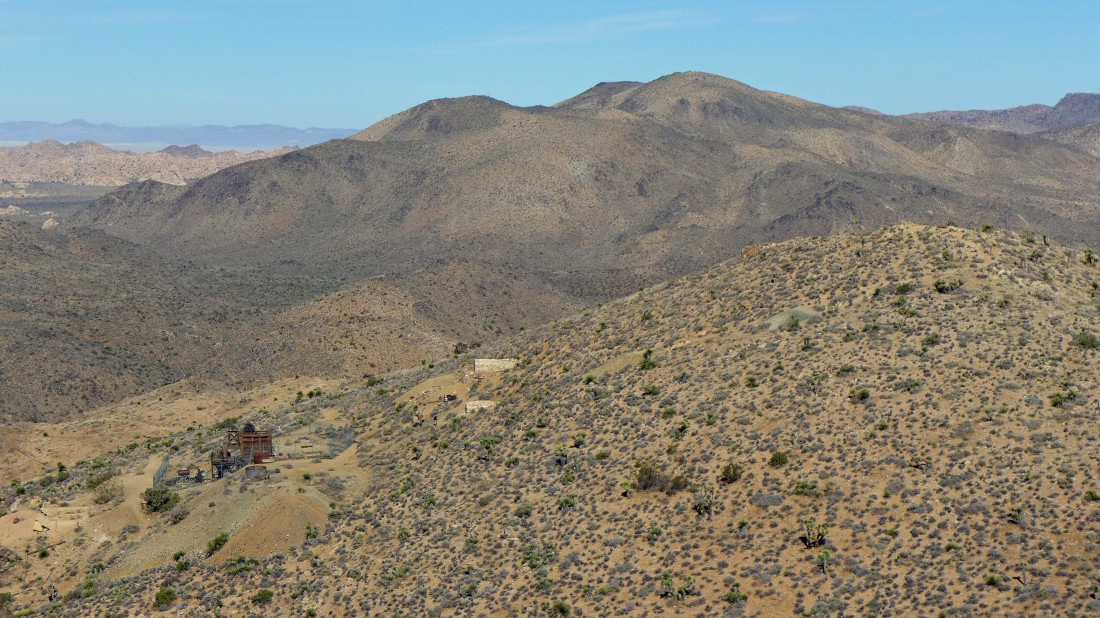
Lost Horse Mine.
|
From the mine we gained another 80 feet of elevation up to Lost Horse Benchmark (5188').
|
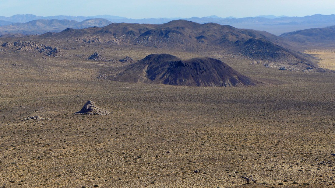
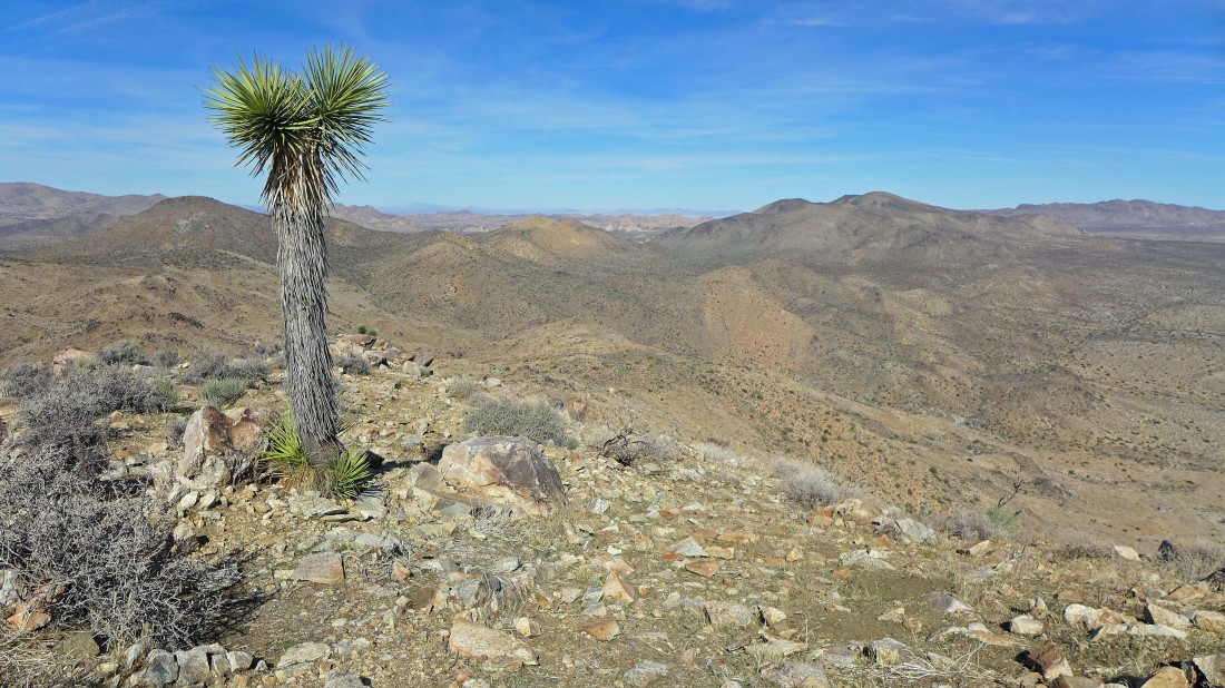
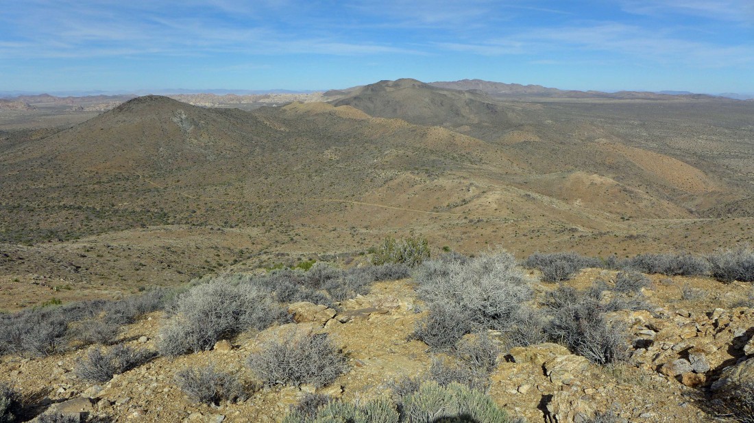
Looking due east accross Pleasant Valley from Lost Horse Benchmark to Malapai Hill in the foreground... and the Hexie Mountains beyond.
|
Continuing south from Lost Horse Benchmark... looking down on the mine... with Ryan Mountain in the center of the photo.
|
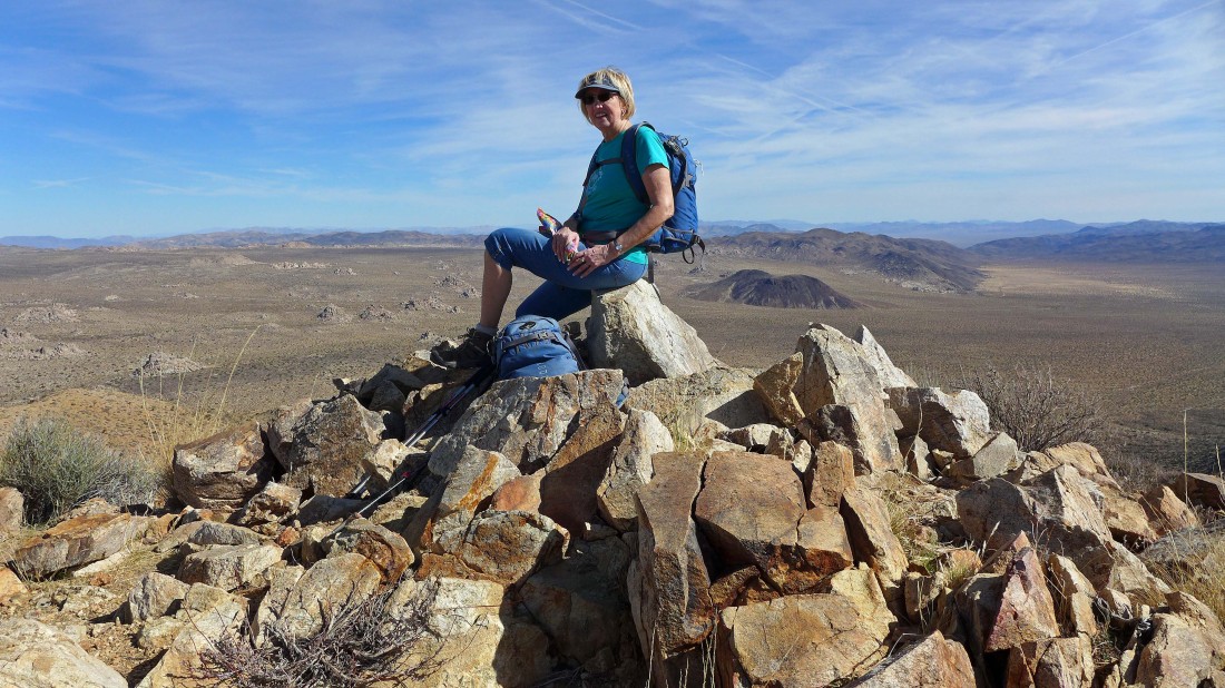
Gail takes a break on the summit (5313') of Lost Horse Mountain... Malapai Hill and the Hexie Mountains to the right of Gail.
|
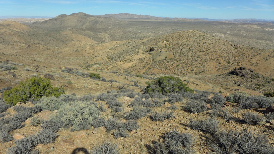
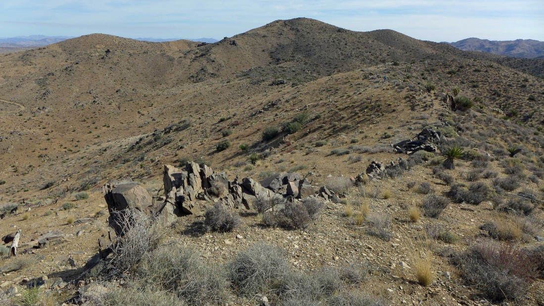
Looking down on the Lost Horse Mine and Lost Horse Benchmark as we continue NW from the summit of LHM... we will follow the NW ridge of LHM back to the car.
|

Continuing along the NW ridge of Lost Horse Mountain... several downs and ups will be necessary.
|
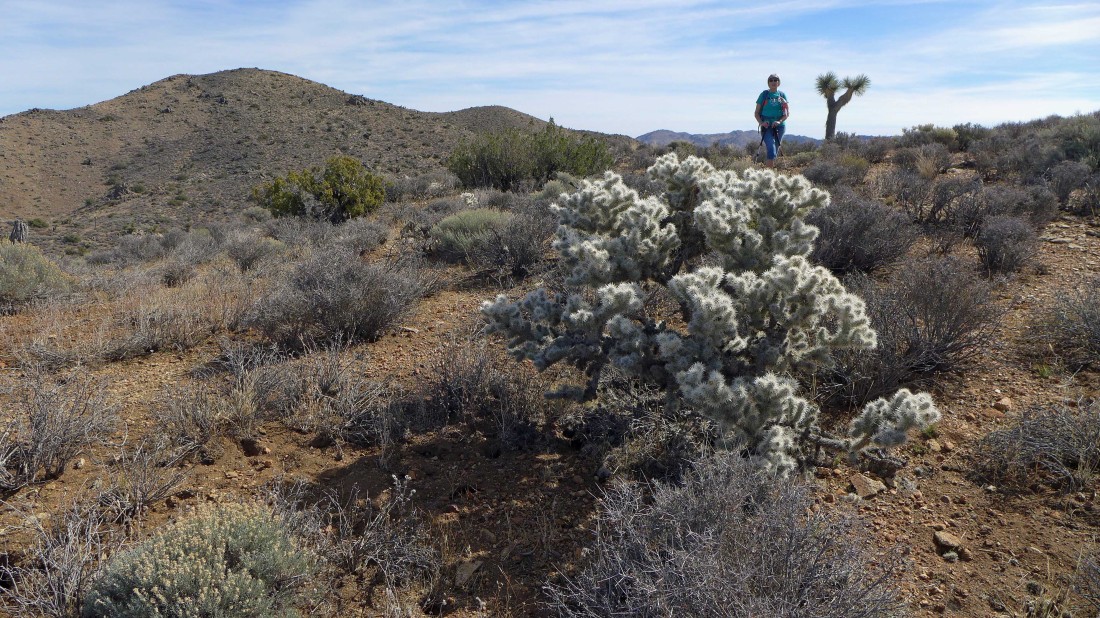
Cholla cactus on the NW ridge of Lost Horse Mountain.
|
Looking back at Lost Horse Benchmark (far left) and Lost Horse Mountain in the center of the photo as we head back to the car.
|
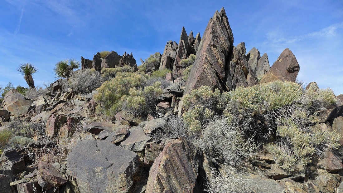
Still on the NW ridge of Lost Horse Mountain... this stuff seems out of place.
|
Looking down on the trail (road) we used earlier to reach the mine... this loop hike was ~2 miles on the road and 2.5 miles off trail.
|
