Lela Benchmark and Point 4632 - 2.3.2018
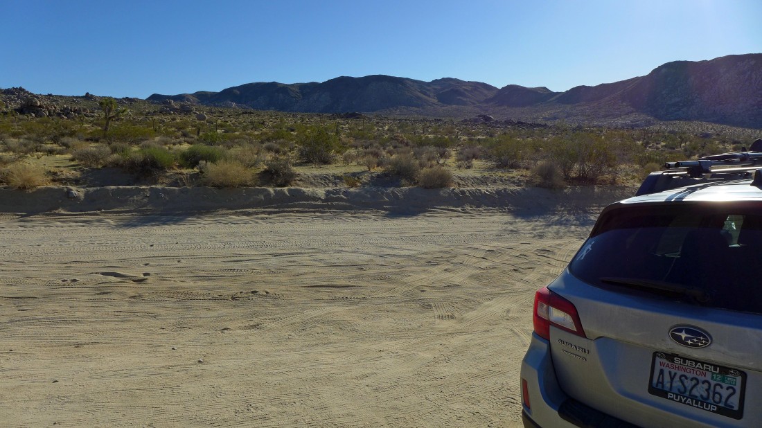
From the Park Boulevard in Joshua Tree National Park... turn onto the Geology Tour Road and drive 4.6 miles... then park at a turnout (room for 3 or 4 cars) due east of Malapai Hill... Lela Benchmark is out there somewhere in the center of the photo.
|
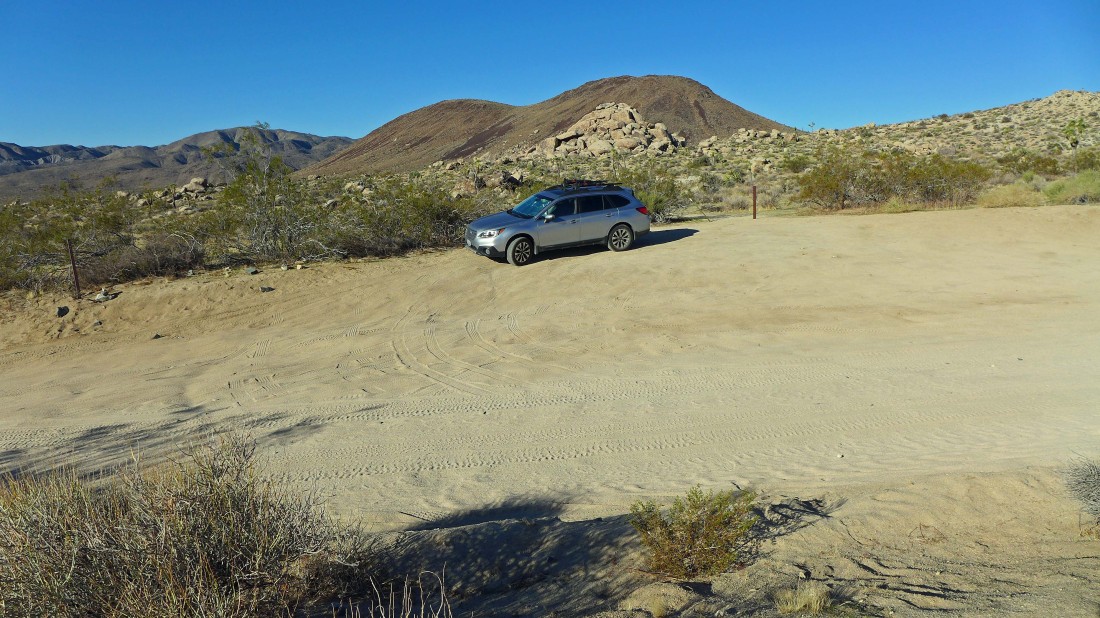
On my way to Lela Benchmark... looking back where I parked... with Malapai Hill in the foreground... and Lost Horse Mountain on the horizon left of Malapai Hill.
|
Pencil Cholla... or Cylindropuntia ramosissima for you technicians.
|
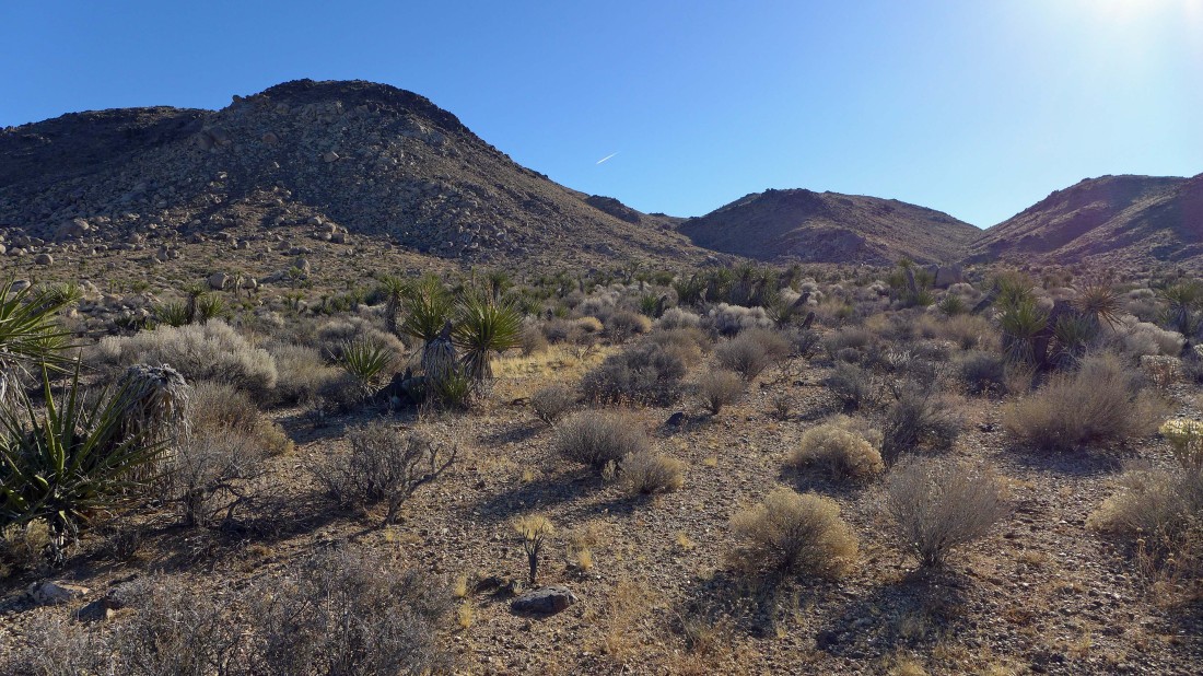
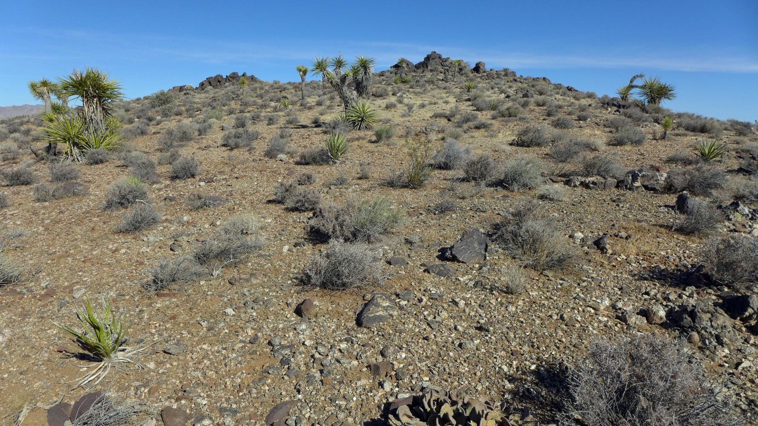
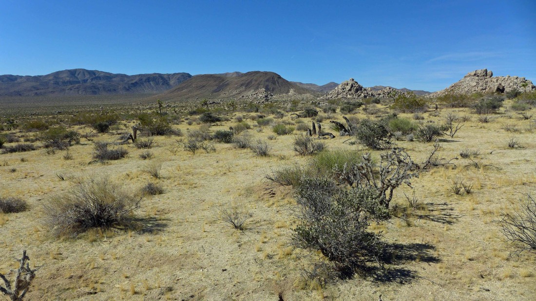
I am hiking the desert floor for a mile or so... heading for Lela Benchmark which is actually behind the big hill in the left foreground.
|
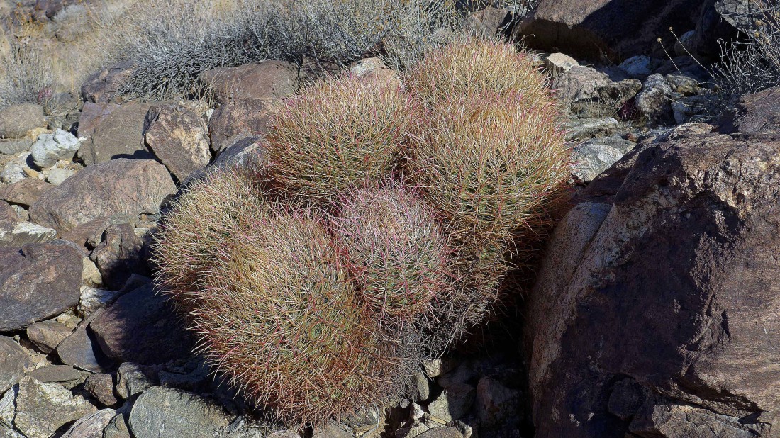
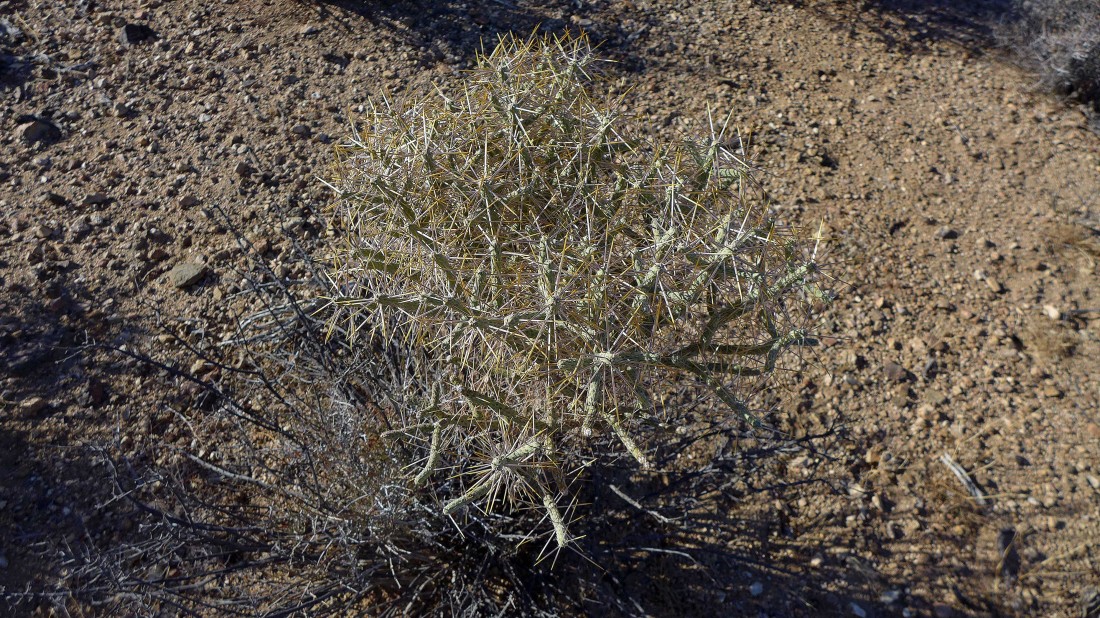
A nice grouping of Barrel Cactus.
|
Starting to gain elevation now... hiking in a gully and looking back at Malapai Hill, Lost Horse Mountain and Ryan Mountain.
|
Out of the gully now... Lela Benchmark on the left.
|
Nearing the Lela Benchmark summit... San Jacinto Peak is now visible on the left horizon... and San Gorgonio Mountain (snow-capped) on the horizon in the center of the photo.
|
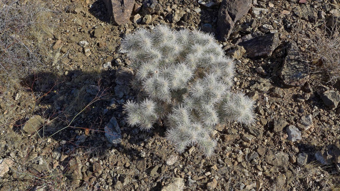
Cholla cactus.
|
On the summit of Lela Benchmark (4720')... looking west and NW.
|
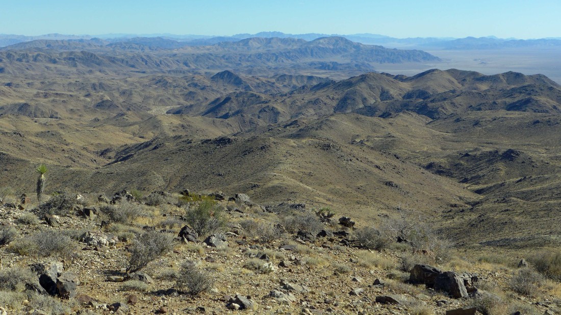
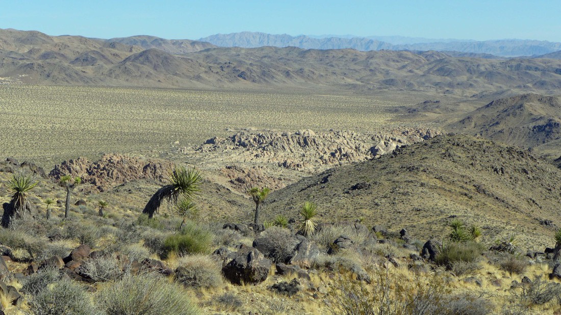
From Lela Benchmark I am looking east across part of the Hexie Mountains to the Pinto Mountains and Pinto Basin on the far right.
|
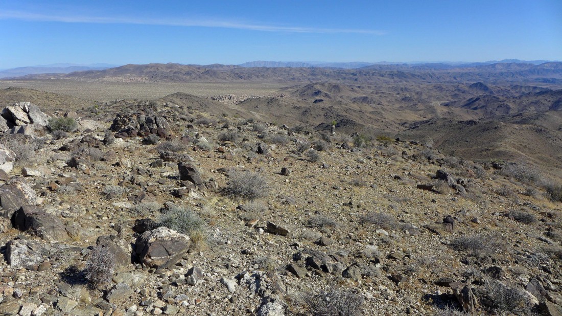
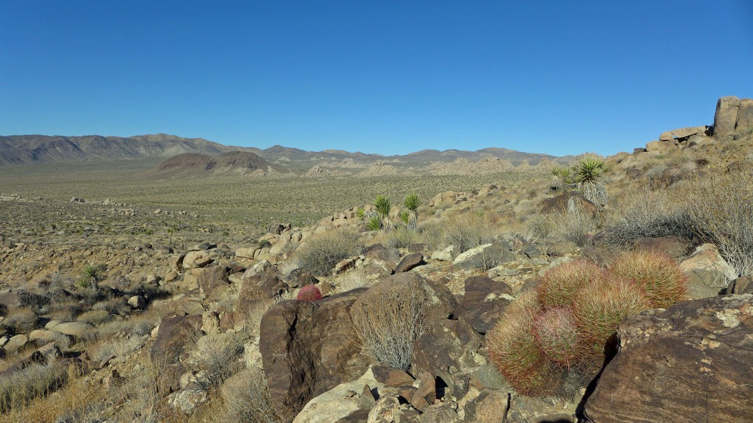
I decided to head north from Lela Benchmark and follow the ridge over to Point 4632... here looking NE to the Pinto Mountains.
|

Beavertail cactus.
|
Nearing Point 4632 north of Lela Benchmark.
|
The Pinto Mountains from Point 4632.
|
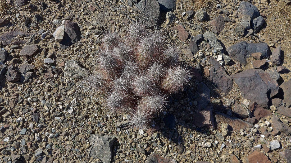
Hedgehog cactus.
|

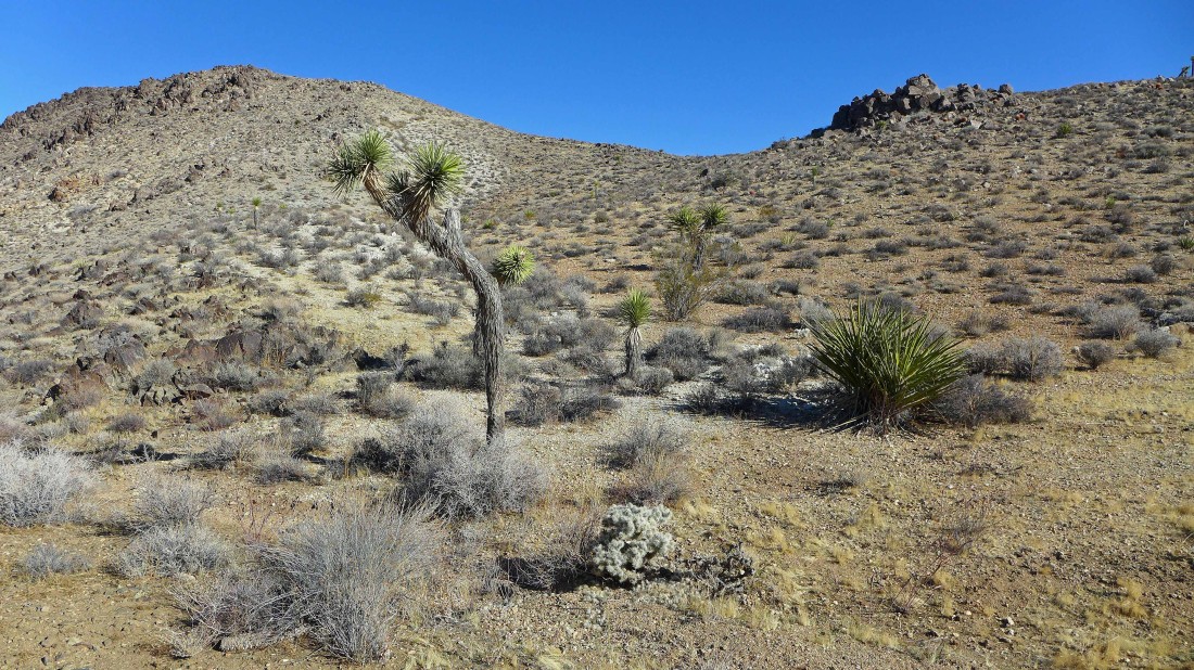
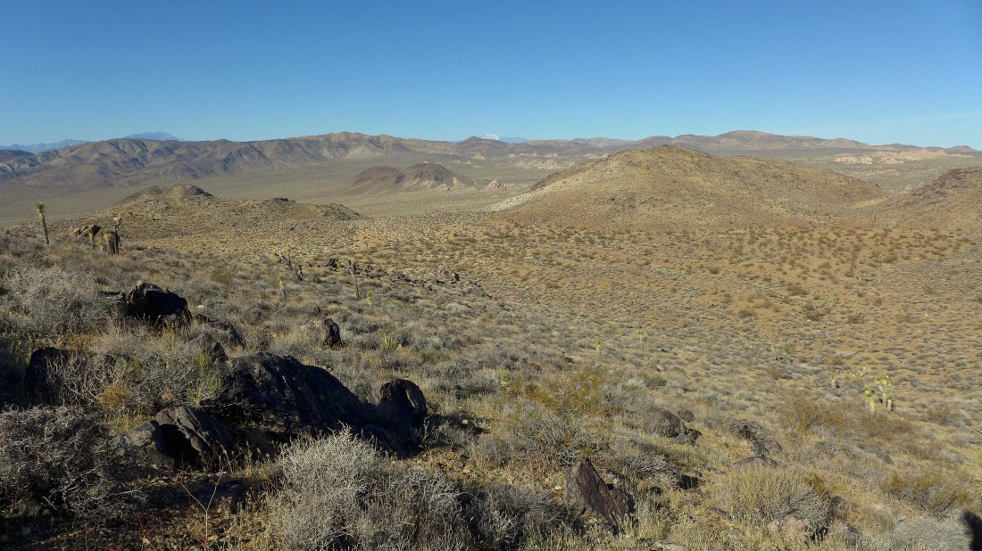
Continuing west from Point 4632 along the ridge... heading back in the direction of the car.
|

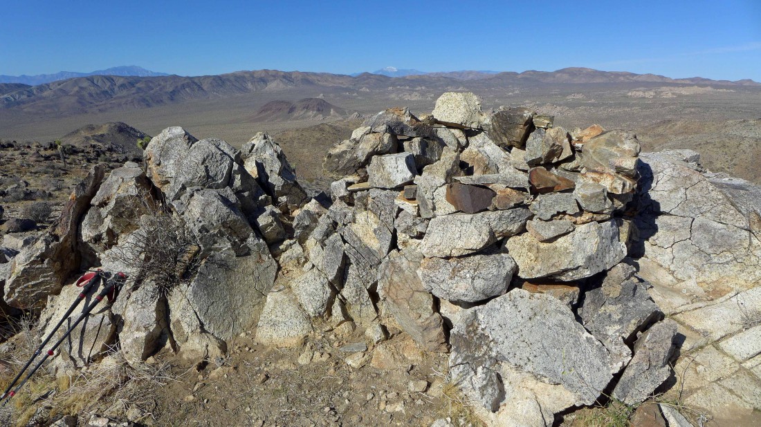
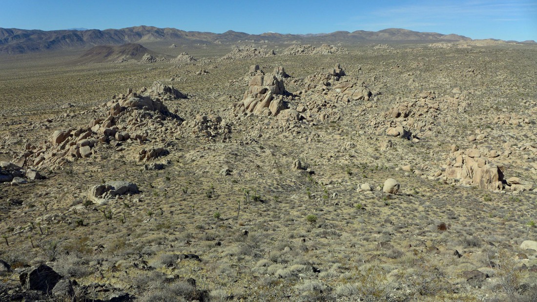
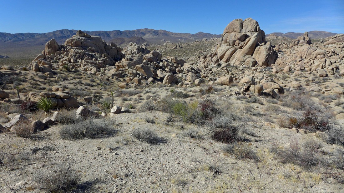
Time to head back down to the desert floor... some interesting piles of rocks down there.
|
Continuing down toward the rock piles.
|
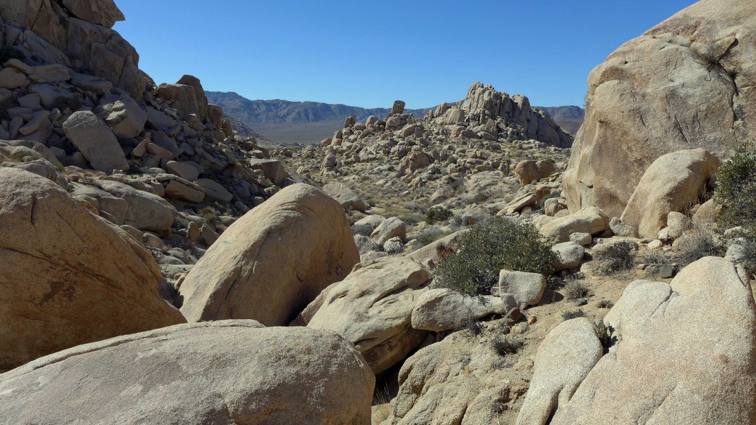
I will need to find a route through the rocks.
|

The rocks look innocent enough from here.
|
Starting to get a little more challenging here.
|
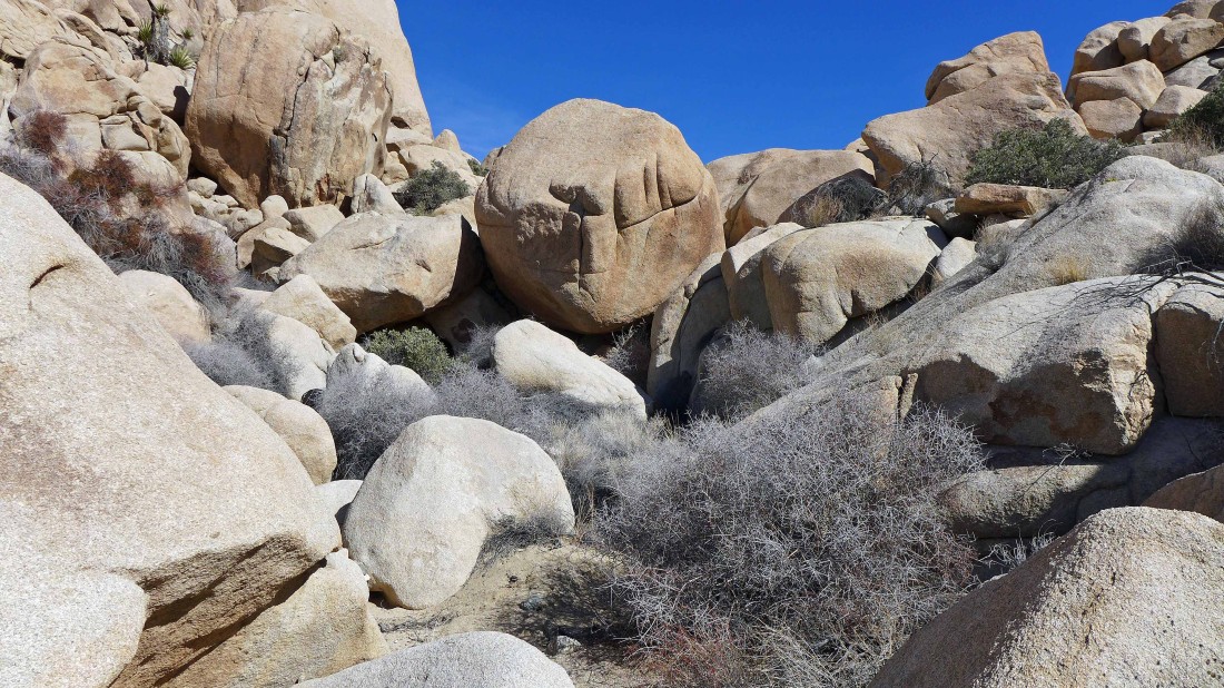
Looking back on the most challenging section of the hike... a short piece of Class 2/3... if necessary I could have most likely found an easier route.
|
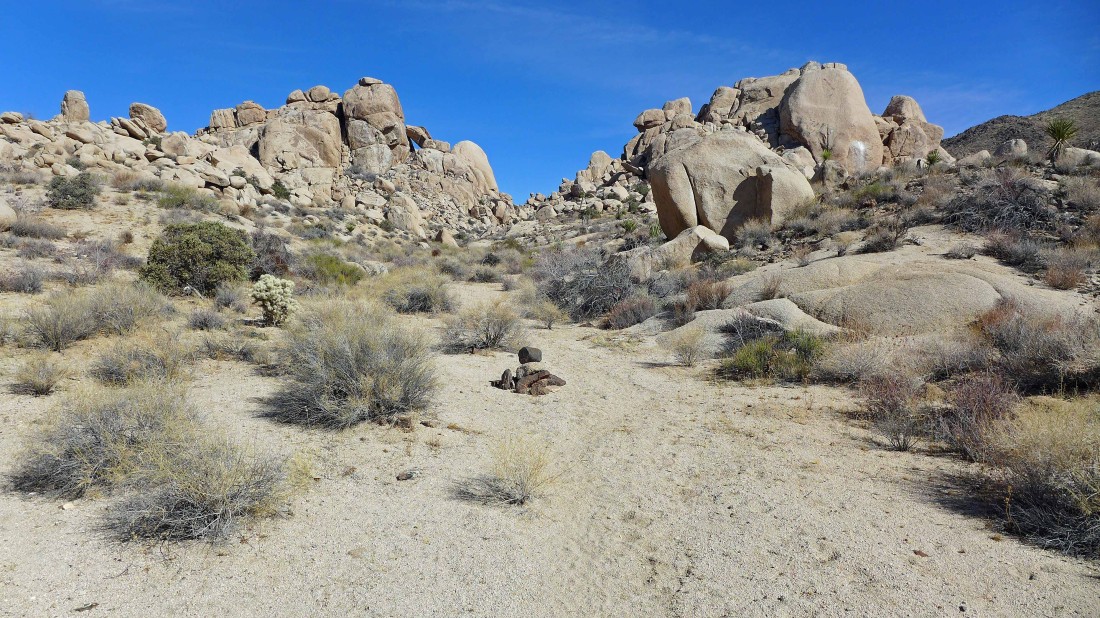
Looking back... I came through the gap in the center of the photo.
|
The last mile to the car is mostly flat... this hike was 5.2 miles, gaining 1193 feet of elevation.
|
