Fortynine Palms Oasis and Point 4050 - 2.6.2018
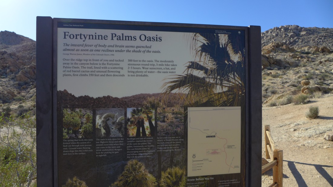
From CA-Hwy-62 turn onto Canyon Road which becomes Fortynine Palms Canyon Road in ~1 mile and drive to the end of the road.
|
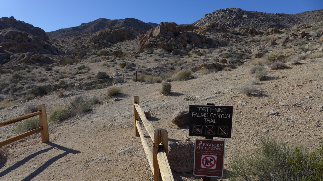
The trail starts out uphill.
|
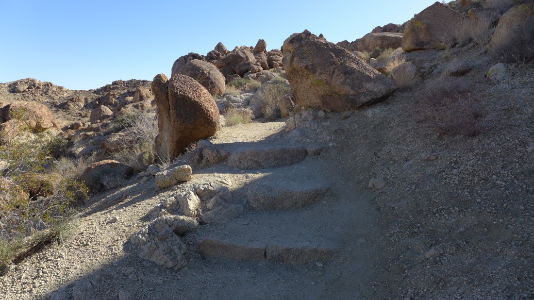
This very popular hike has lots of constructed steps.
|
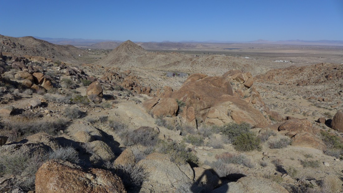
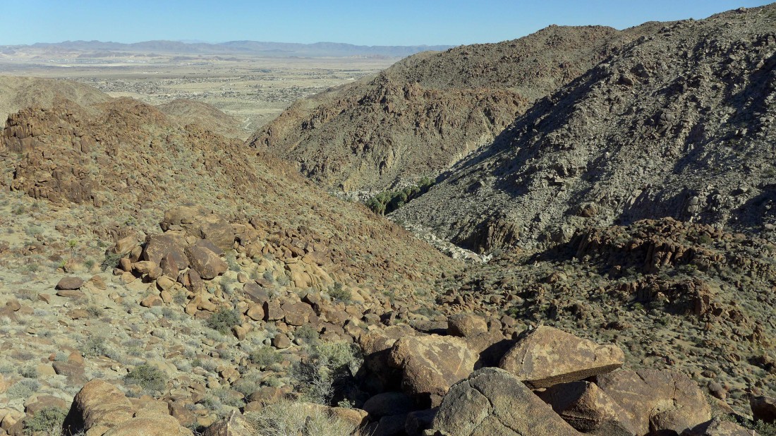
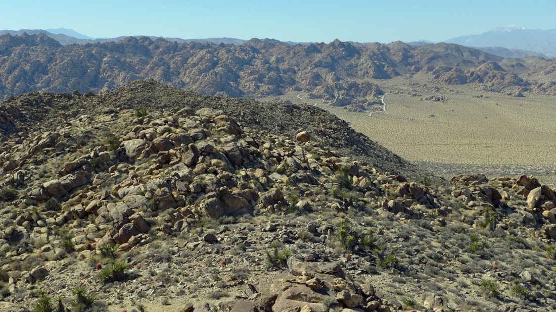
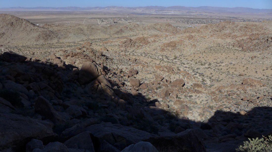
Gaining elevation up to a ridge and looking back down on the parking area and out towards the city of Twentynine Palms.
|
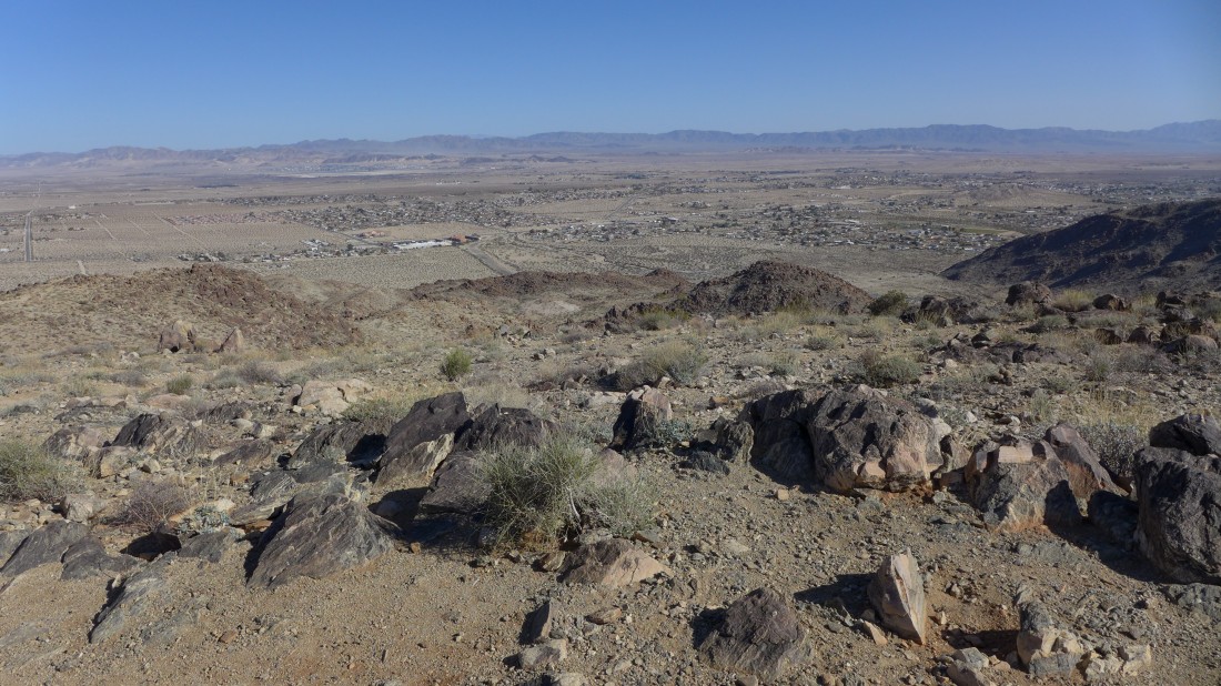
Looking out toward a Marine Corps Base and the Bullion Mountains.
|
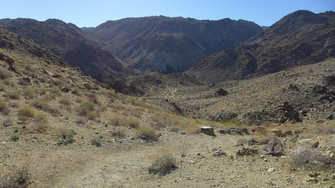
After reaching the ridge we have to give back some elevation to get down to the oasis.
|
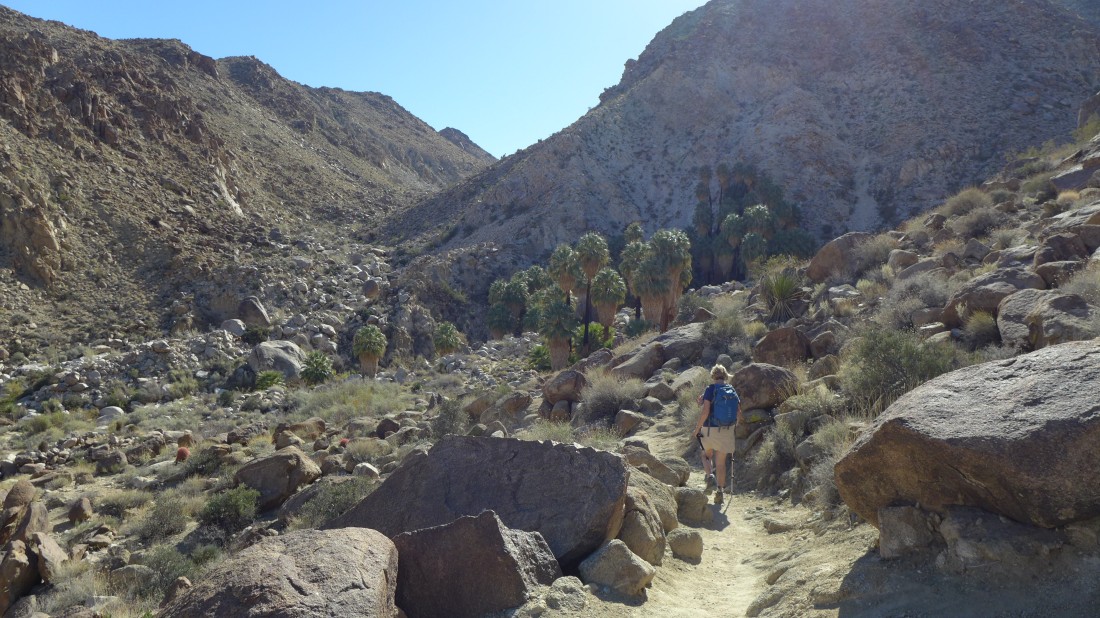
Gail is getting close to the oasis.
|
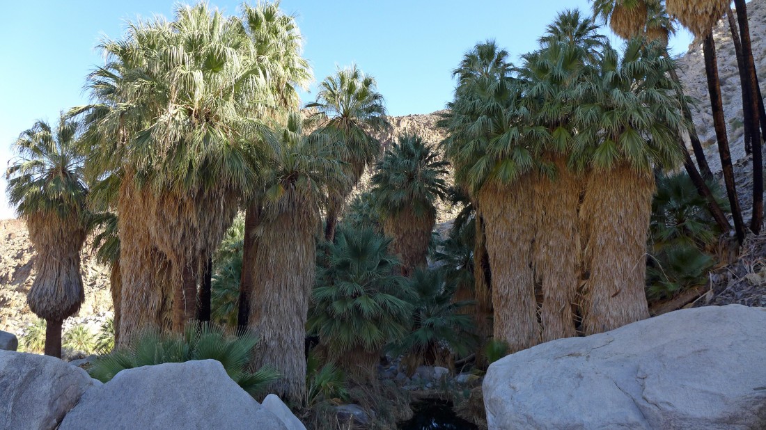
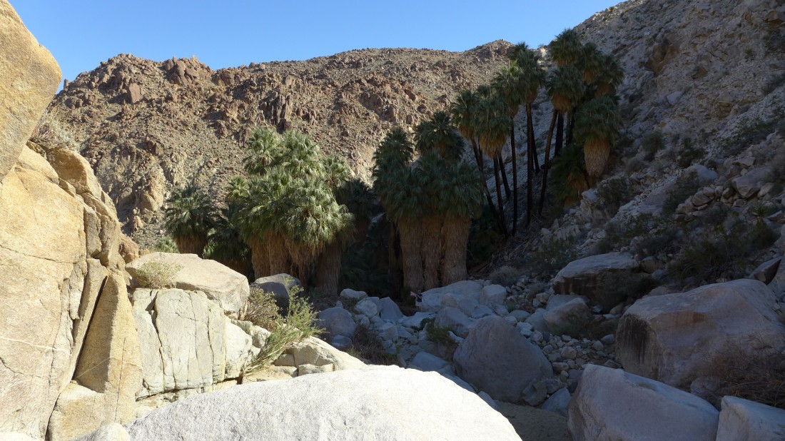
The Fortynine Palms Oasis.
|
Gail will take the trail back to the car while I continue SW up Fortynine Palms Canyon... a challenging scramble in search of Point 4050.
|
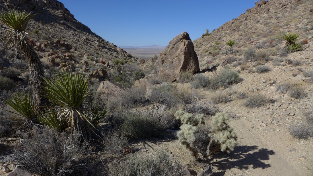
Working my way up the canyon and looking back at the oasis.
|
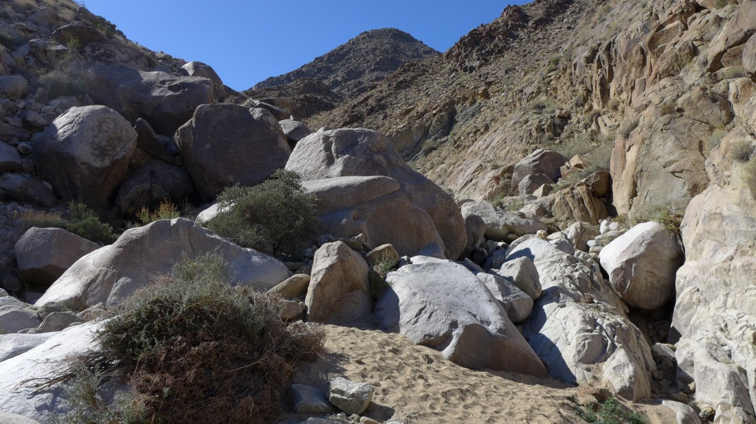
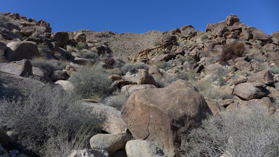
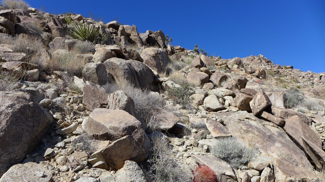
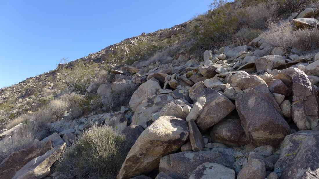
Lots and lots of big boulders to deal with in the canyon.
|
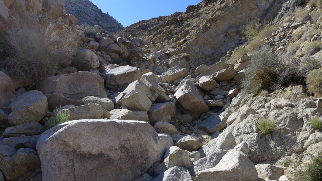
Did I mention that there were lots of big boulders in the canyon.
|
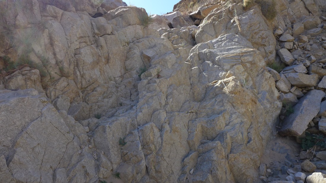
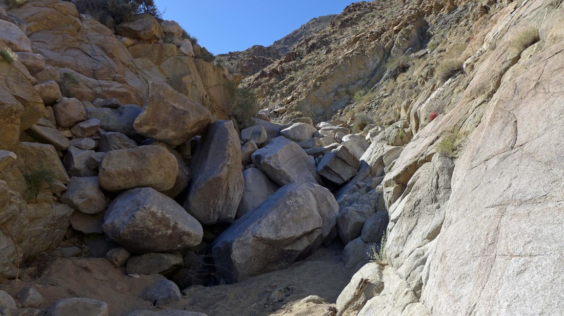
A nice ladder formation in the canyon.
|
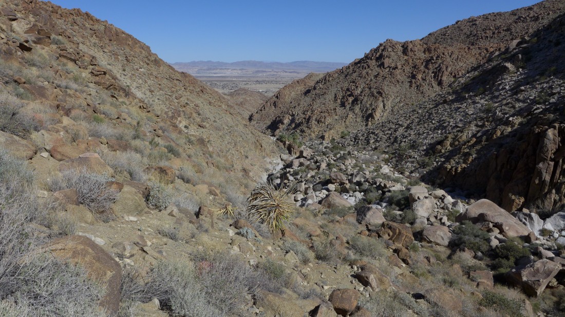
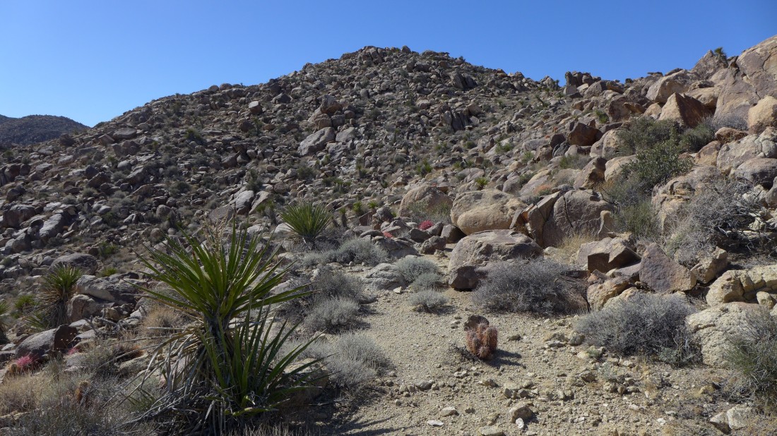
I have left the canyon below and heading up a gully toward Point 4050... the oasis is below... in the center of the photo.
|
Continuing up the gully in search of Point 4050 which is not visible yet.
|
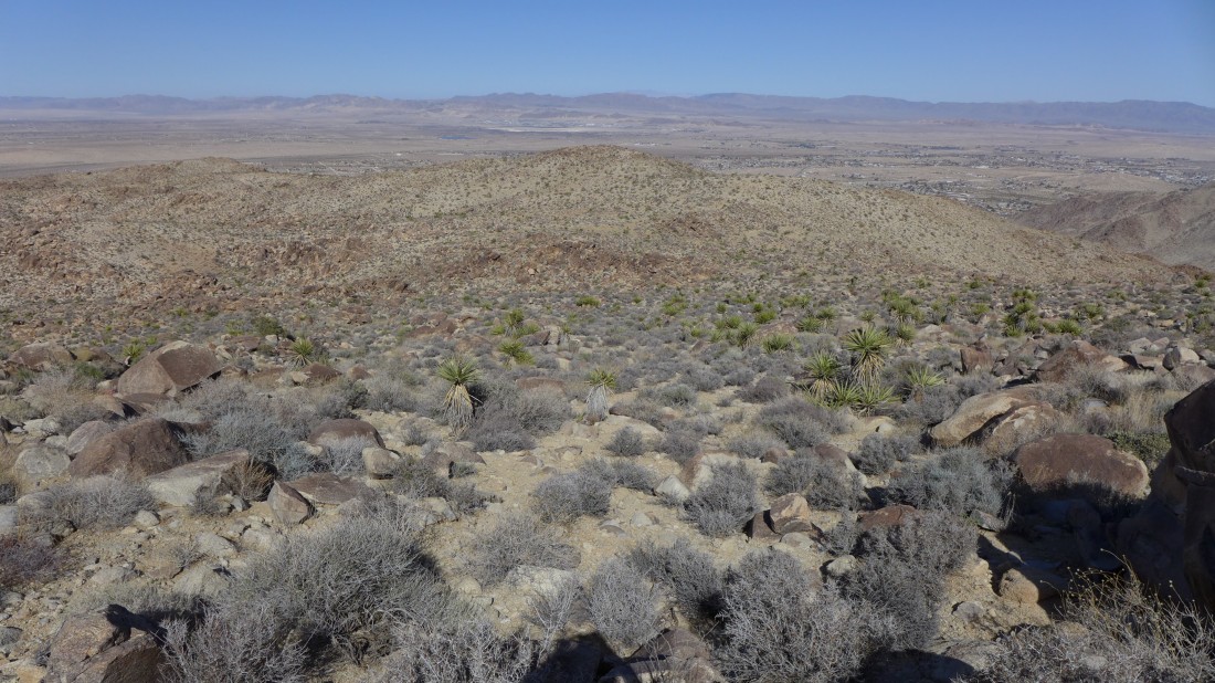
Looking down at the oasis as I gain elevation... and out to Twentynine Palms and the Bullion Mountains.
|
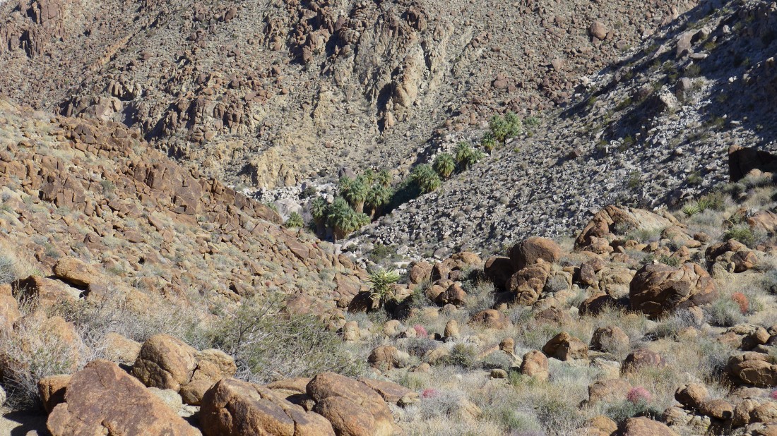
A closeup of the oasis.
|
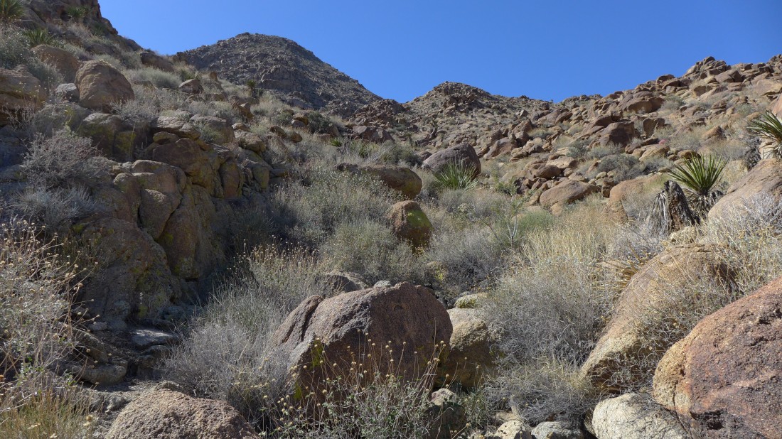
Still gaining elevation.
|
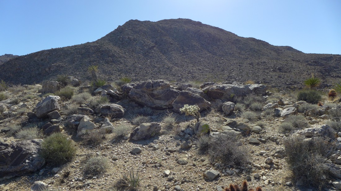
Finally a look at Point 4050... still a lot of work to do.
|
This brush is a leg-shredder... and I can prove it.
|
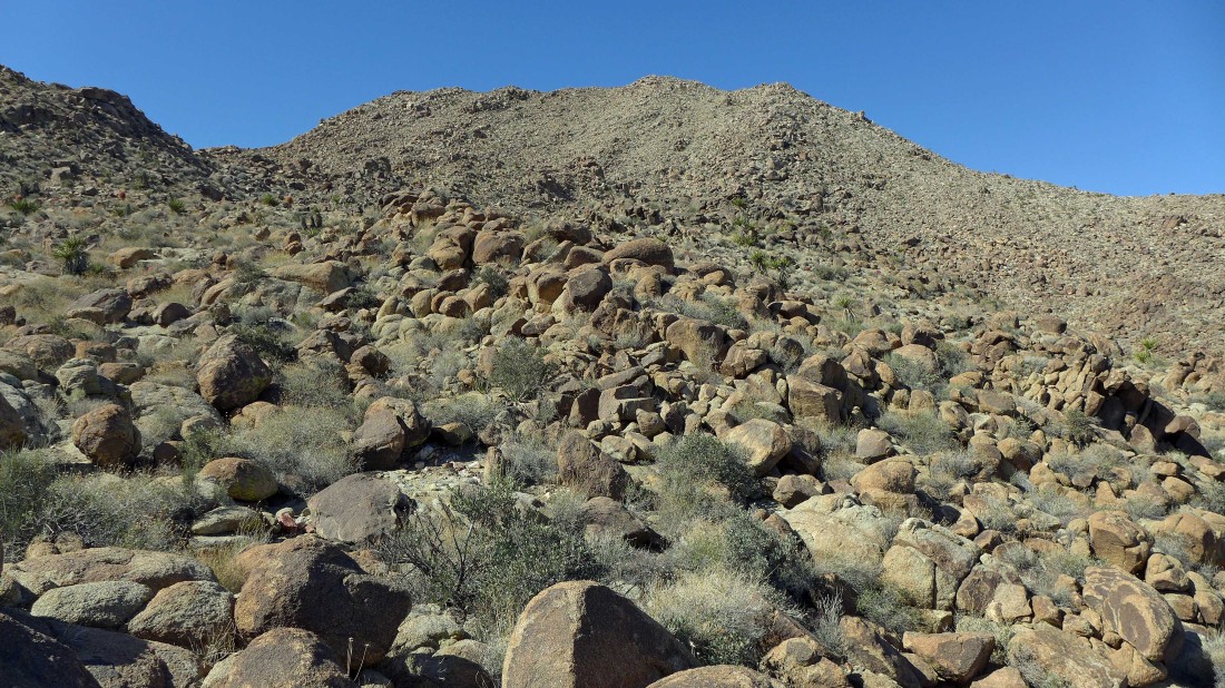
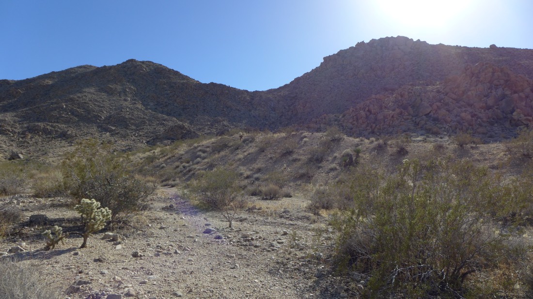
Nearing the ridge that houses Point 4050.
|
I've reached the ridge and can see the summit.
|
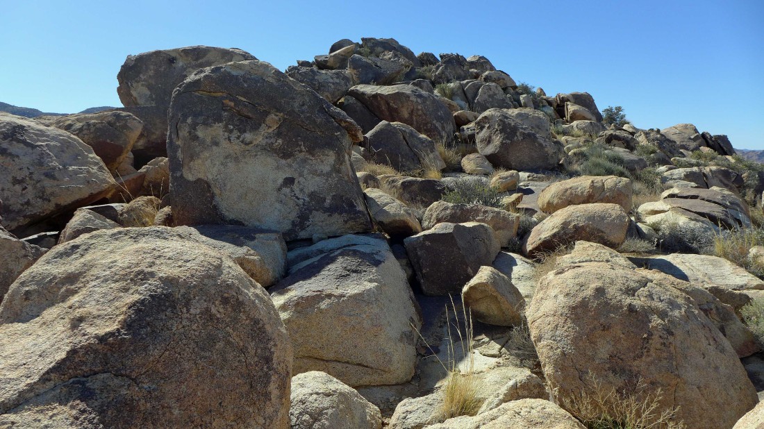
Big boulders to deal with as I near the summit of Point 4050.
|
At the summit.
|
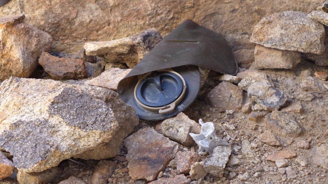
I found a platypus at the summit... hope the owner made it down okay.
|
From Point 4050 I'm looking west over to Indian Cove... the north entrance to 'Wonderland of Rocks' in Joshua Tree National Park.
|
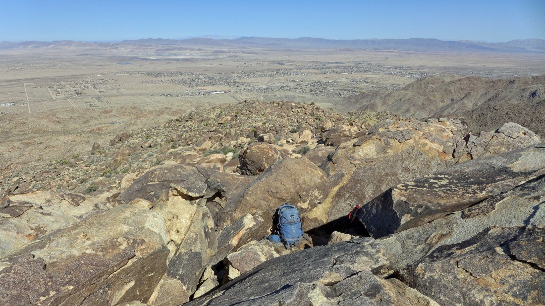
From the summit I can see the parking lot below... looks like there will be some work to do in getting down there.
|
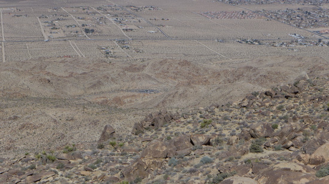
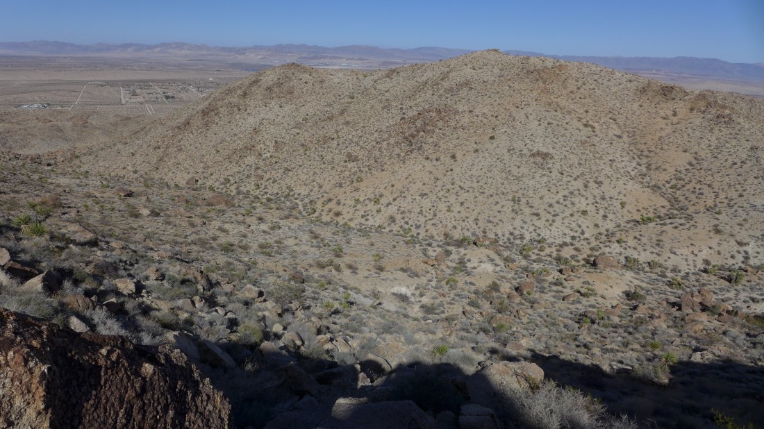
From the summit I'm looking out to the city of Twentynine Palms and the Bullion Mountains.
|
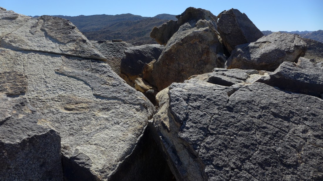
Gnarly terrain to deal with as I leave Point 4050 and head for the car.
|
Fairly easy travel here... but I do need to try and avoid the leg-shredders.
|
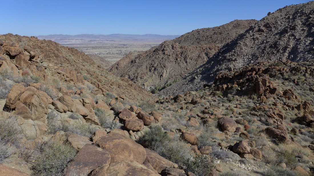
Looking back at Point 4050 as I continue down in search of the car.
|
I can see a wash below that looks like it will take me to the car.
|
In the wash... this looks like it will be easy now.
|
Oh well... it was easy for awhile... I can see the paved road near the top of the photo... but there is still some work to do.
|
Finally off of the rock... looking back at the gap I came through... I will soon hook up with the road... leaving a short road walk to reach the car... the loop trip was 4.2 miles, gaining 1742 feet of elevation.
|
