Golden Bee Mine and Point 3298 - 2.7.2018
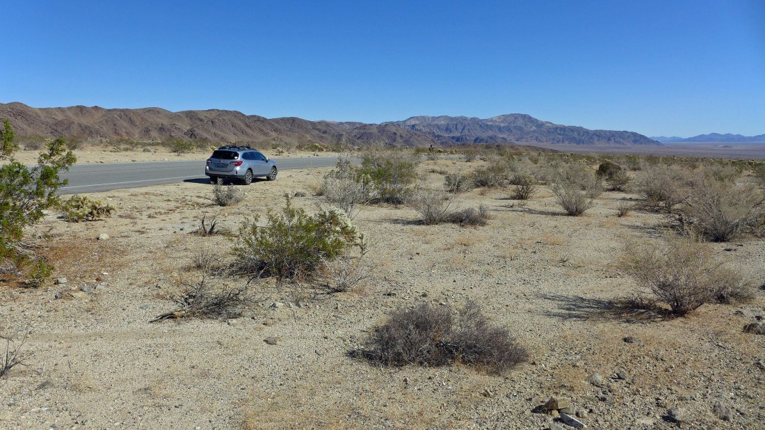
We parked on the side of Pinto Basin Road... approximately a half-mile west of the 'Cholla Garden'.
|
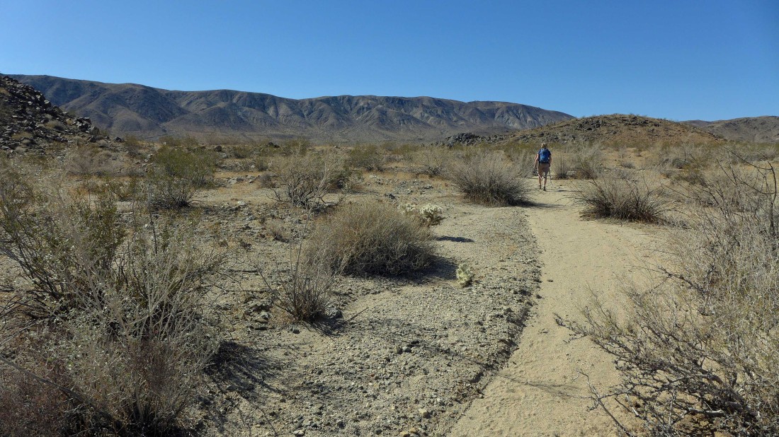
Gail is hiking in a wash a short distance from the Pinto Basin Road... between two distinctive mounds (one of the mounds is in front of Gail) that also give a nice landmark where a person can park along side the road.
|
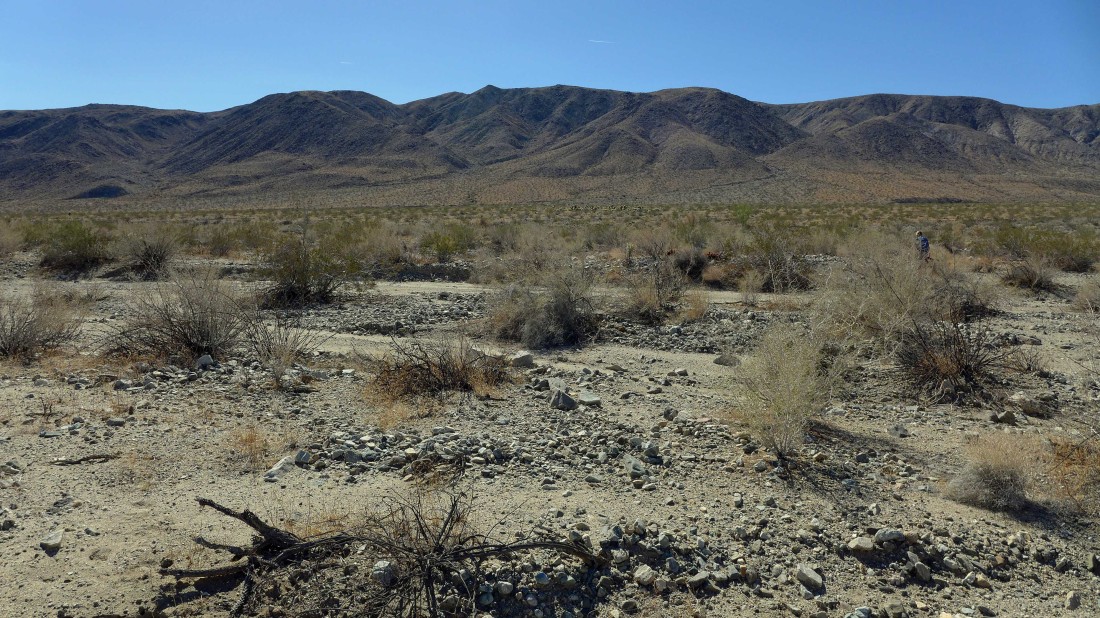
Heading cross country toward the Hexie Mountains... we can see the faint abandoned road heading uphill in the center of the photo.
|
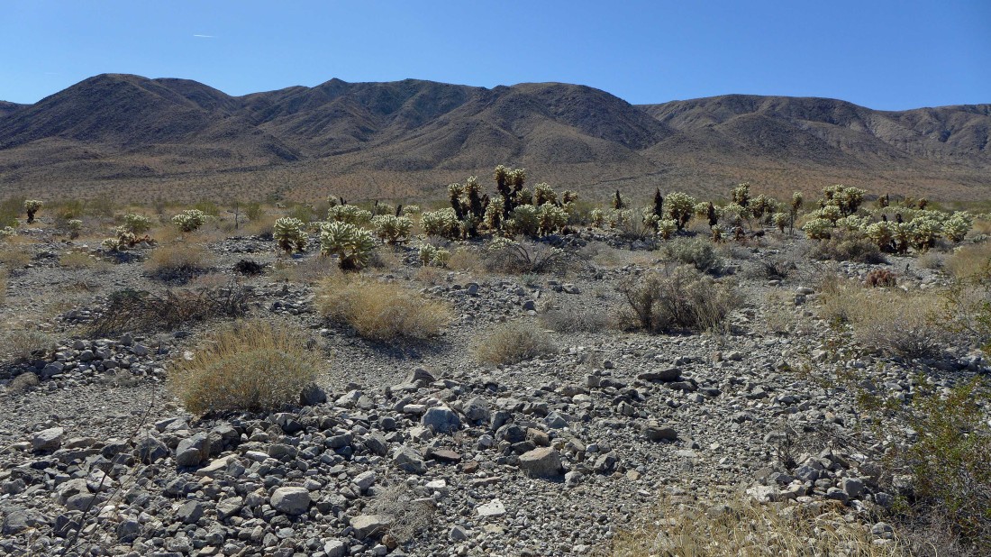
There is a very small cholla garden along the way... note that this is not the official 'Cholla Garden' which is located right next to the road a half-mile east from where we parked.
|
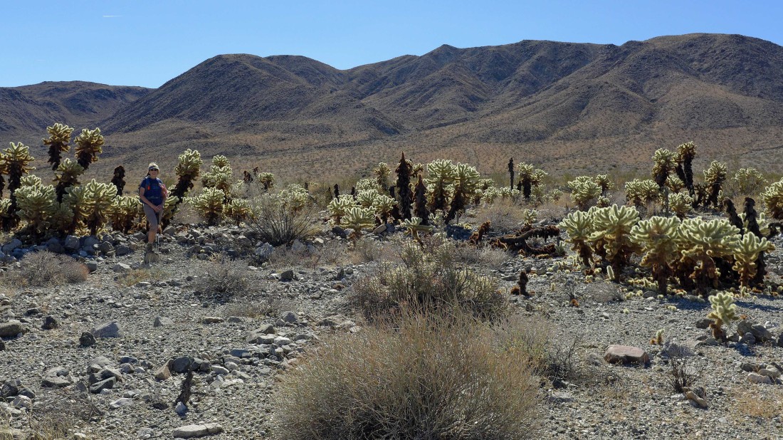
Gail is standing in the midst of the little cholla garden... now we can see the road going up to the Golden Bee Mine in the center of the photo.
|
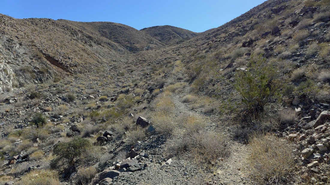
On the abandoned road heading uphill now.
|
Looking back at Gail as she comes up the road... with the Pinto Mountains across the valley.
|
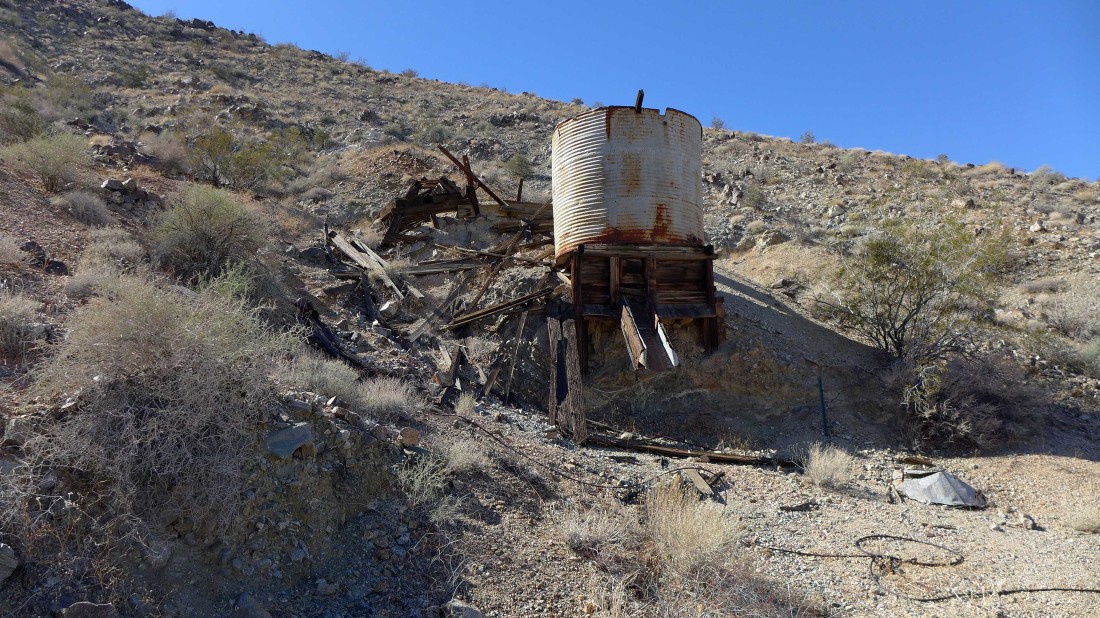
Just below the Golden Bee Mine we found this water tank.
|
I went up above the water tank and saw this... I assume that the pipe fed the water tank.
|

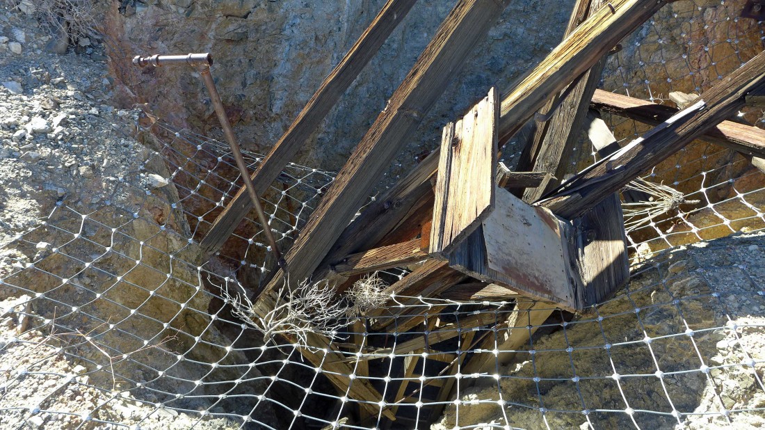
This was fenced off... but I was able to get the lens of my camera through the fence to take the photo.
|
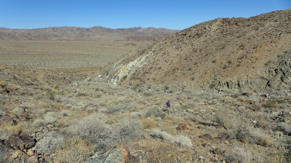
Continuing higher and looking back across Wilson Canyon to the Pinto Mountains... the water tower is on the hillside to the left.
|

Nearing the main mining operation.
|
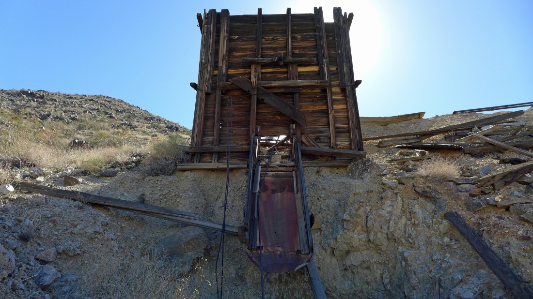
What's this... looks like a fun water slide.
|
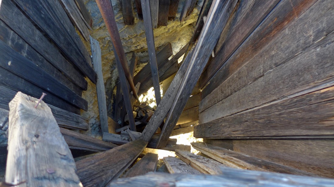
This mine shaft was at least 50 feet deep.
|
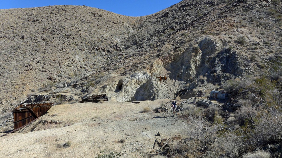
Gail is exploring the mining site... several shafts here.
|
Gail took the trail back to the car while I decided to go up to the ridge above.
|

I have reached Point 3298 (my high point for the day)... here looking SE to Mounument Mountain on the horizon.
|
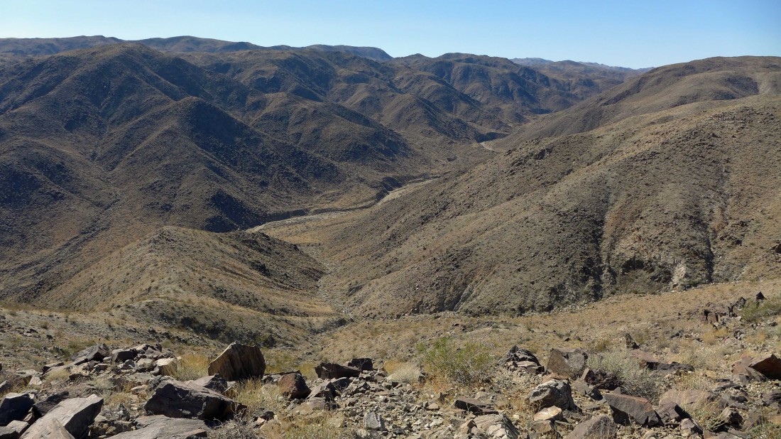
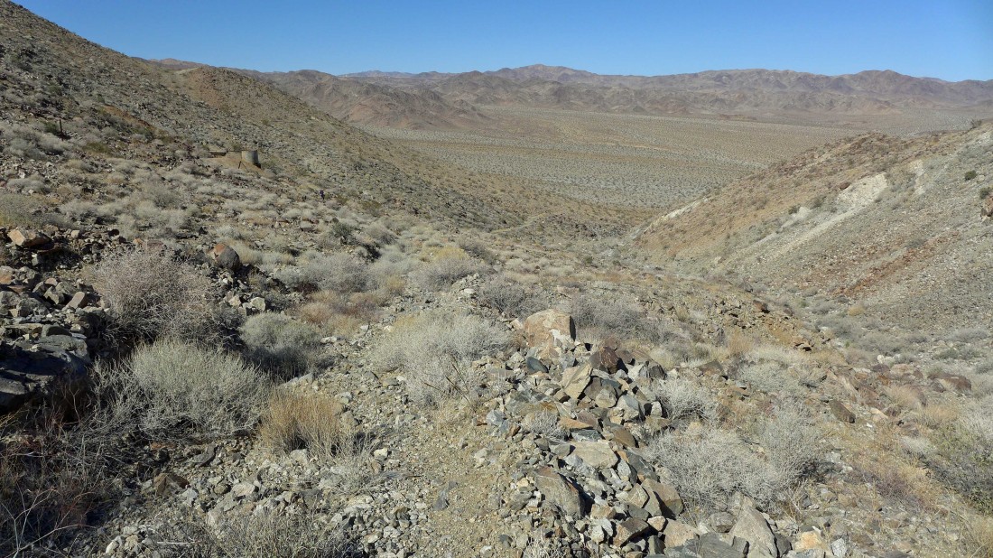
Looking down on Fried Liver Wash from Point 3298.
|

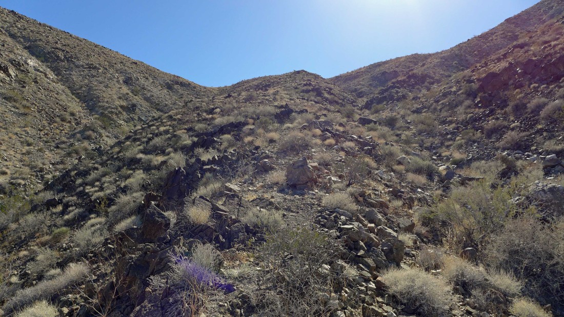
I decided to continue west along the ridge from Point 3298... looks like a few easy downs and ups.
|

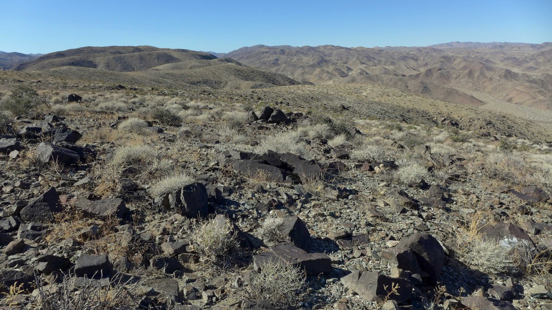
Working my way west from Point 3298... looking down on the Golden Bee Mine and across Pinto Basin to the Pinto Mountains.
|
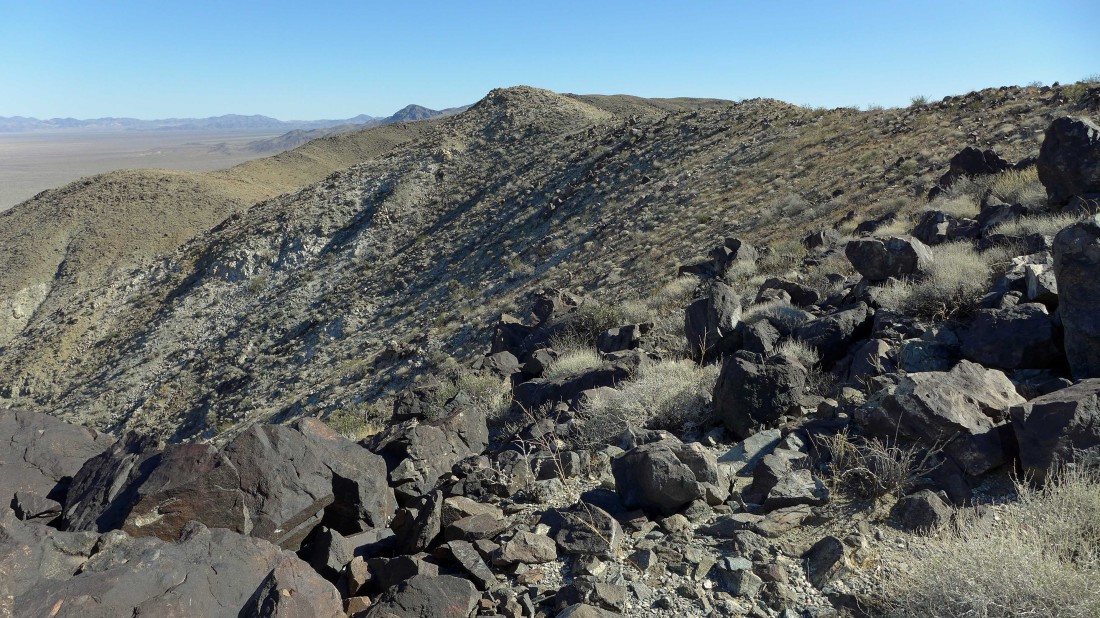
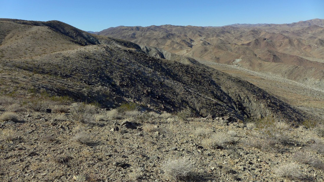
Looking back at Point 3298 in the foreground as I continue west along the ridge.
|
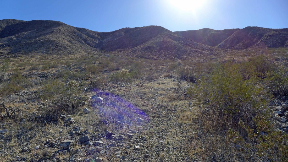
After hiking along the ridge for a mile or so I am looking for a good route back down to the desert floor... I'm standing in the Hexie Mountains... looking across the Pinto Mountains on the right to Queen Mountain on the far right horizon.
|
I'm going over to the next bump in the foreground and start working my way down... the light gray area across the valley on the hillside is the Eldorado Mine.
|
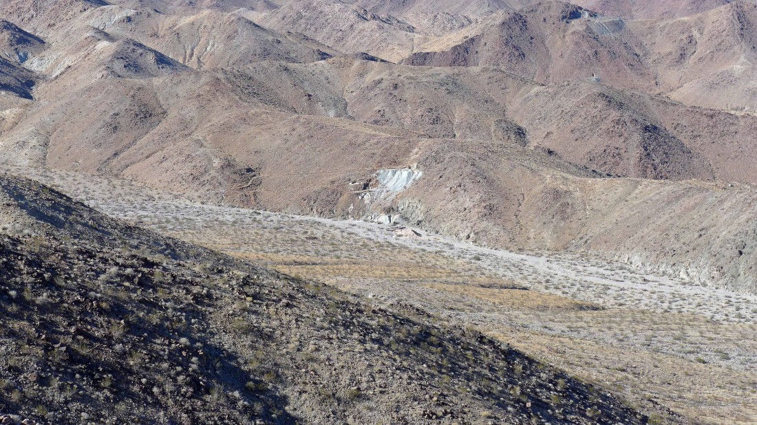
A closer look at the Eldorado Mine.
|
Back down on the desert floor... looking back at my route off of the ridge in the center of the road... leaving a mile or so desert walk to get back to the car... the loop hike was 5 miles, gaining 1273 feet of elevation.
|
