San Jacinto Peak, Jean Peak and Miller Peak - 2.11.2018
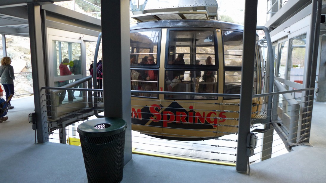
Boarding the Palm Springs Aerial Tramway... a nice way to gain 6000 feet of elevation in 12 minutes.
|

The tram rises through a very rugged Chino Canyon.
|
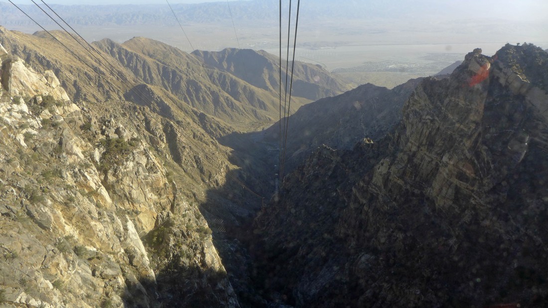
Almost to the station at the top (8516') of the tram... here looking down Chino Canyon to Coachella Valley... home of the San Andreas Fault.
|

Getting a wilderness permit from the ranger after getting off of the tram.
|
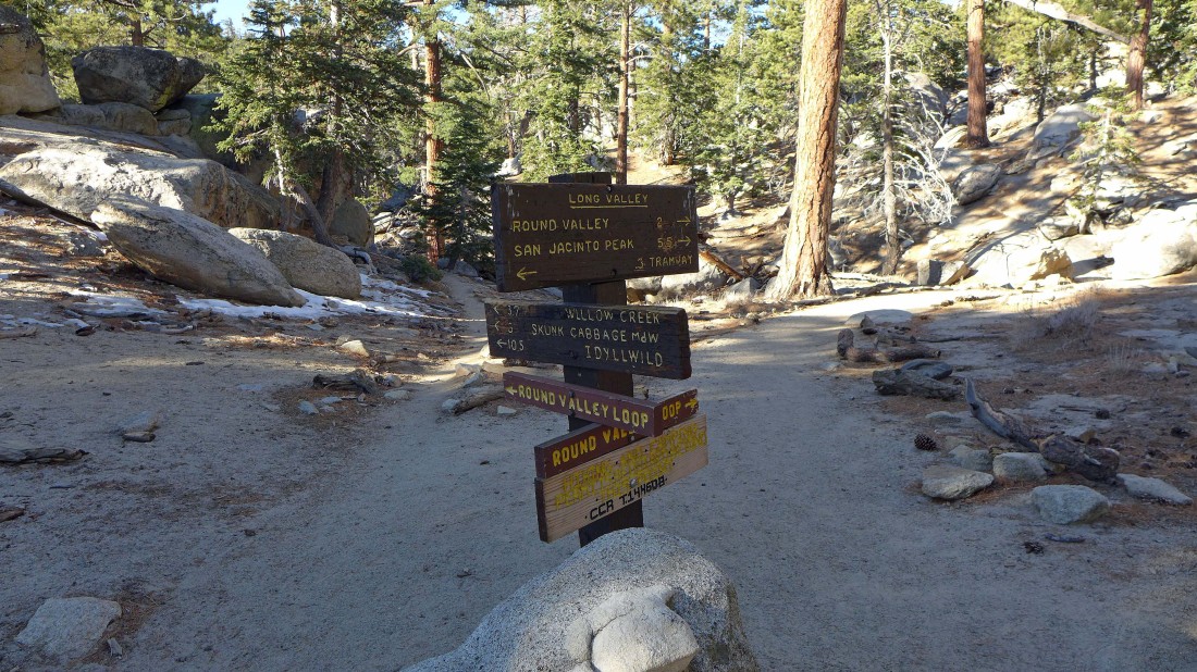
Several options from the ranger station.
|
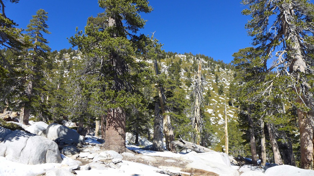
After hiking ~3 miles I have reached Wellman Divide (~9700')... leaving 2.3 miles of hiking to reach the San Jacinto Peak summit.
|
The San Jacinto Peak summit is up there somewhere.
|
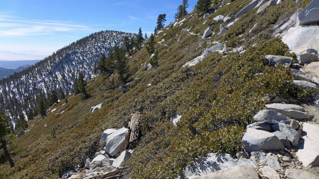
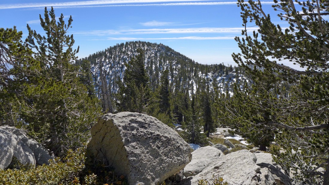
Switchbacking my way up to the San Jacinto summit... Jean Peak is in the distance on the left... I will do it after San Jacinto.
|
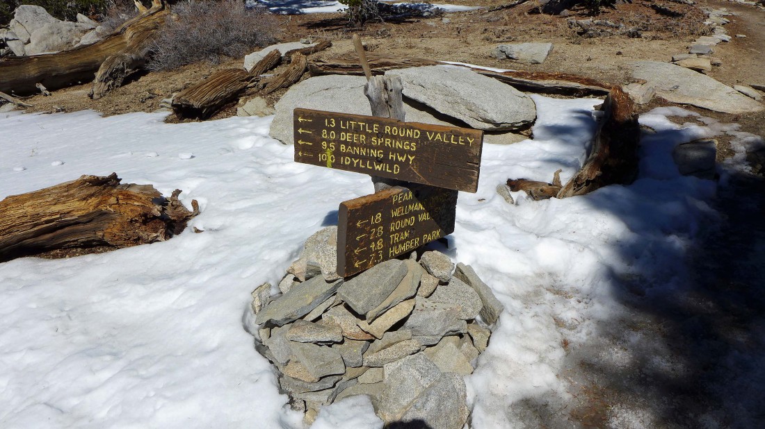
At ~10,580 feet I have reached an intersection... the town of Idyllwild is only a 10 mile hike from here... still a third of a mile from the San Jacinto summit.
|
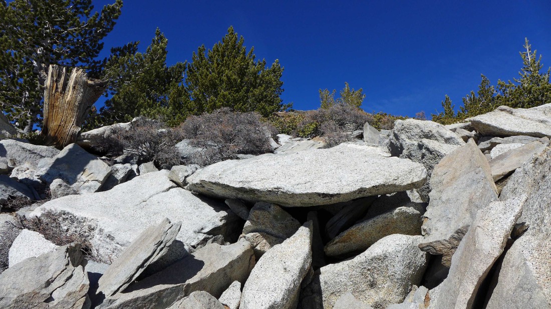
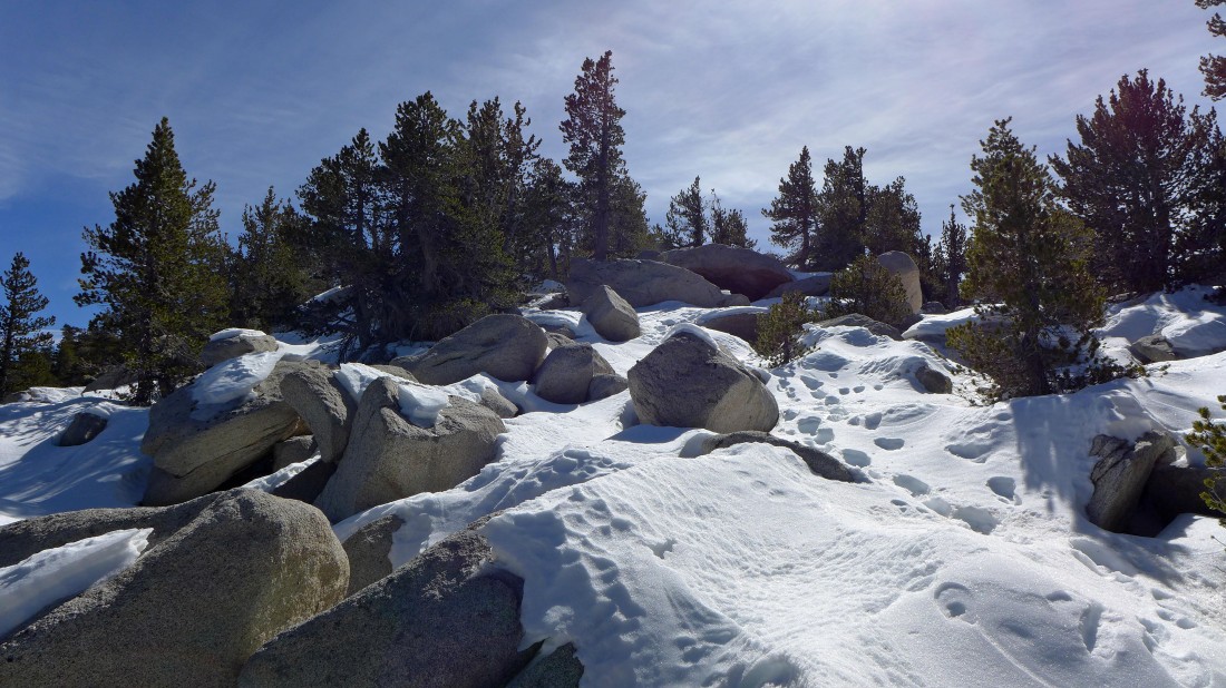
A little boulder work near the San Jacinto Peak summit.
|
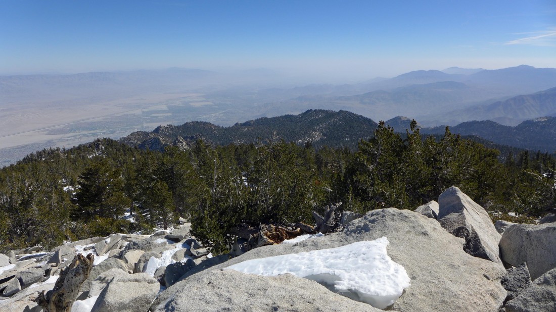
Looking south down the Coachella Valley toward the Salton Sea (not visible today)... the Santa Rosa Mountains are on the right... and the Little San Bernardino Mountains on the left horizon.
|
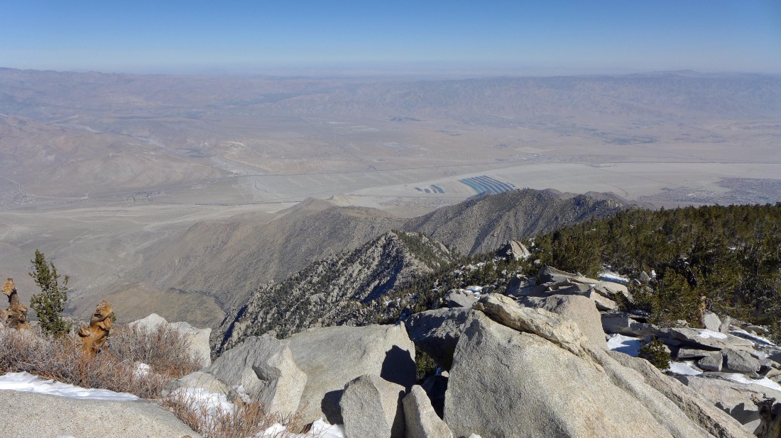
Looking east across Coachella Valley to the Little San Bernardino Mountains.
|
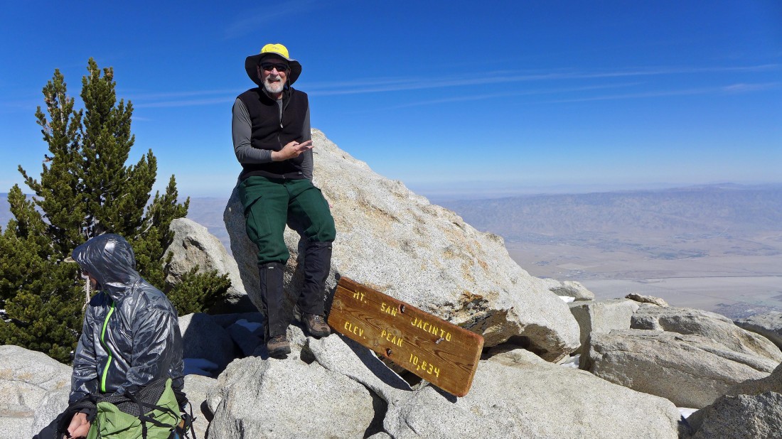
Me on the 10,834 foot summit of San Jacinto Peak.
|
Looking north from the San Jacinto summit to the snow covered San Gorgonio Mountain (11,503').
|
Leaving the summit of San Jacinto Peak summit... I will work my way over to the summit of Jean Peak.
|
Almost on the summit (10,670') of Jean Peak.
|
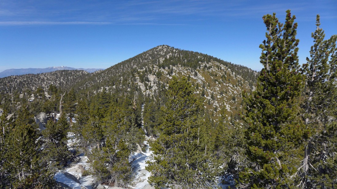
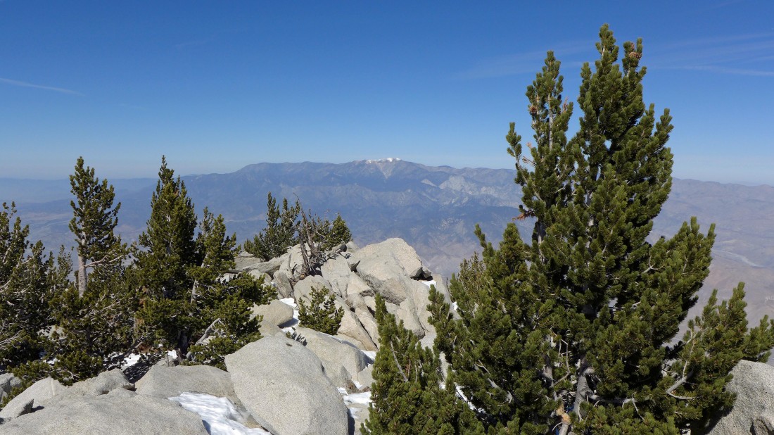
Looking back at San Jacinto Peak from the summit of Jean Peak.
|
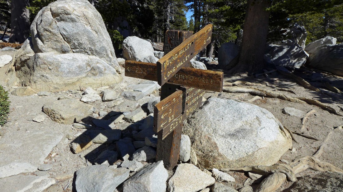
From Jean Peak I traced my steps back to the trail intersection just below the San Jacinto summit and started back down the switchbacks... but after hiking a short distance I decided to take the short walk over to Miller Peak.
|

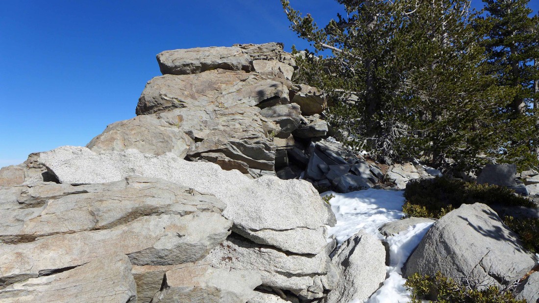
The summit (10,400+) of Miller Peak... dedicated in 1936 in honor of Frank A. Miller.
|

From the summit of Miller Peak I am looking at Jean Peak on the left and San Jacinto Peak on the right... I still have more than 4.5 miles of hiking to get back to the tram station... my total hike was 11.8 miles, gaining 2983 feet of elevation.
|
