Little Utah Canyon - 2.13.2018
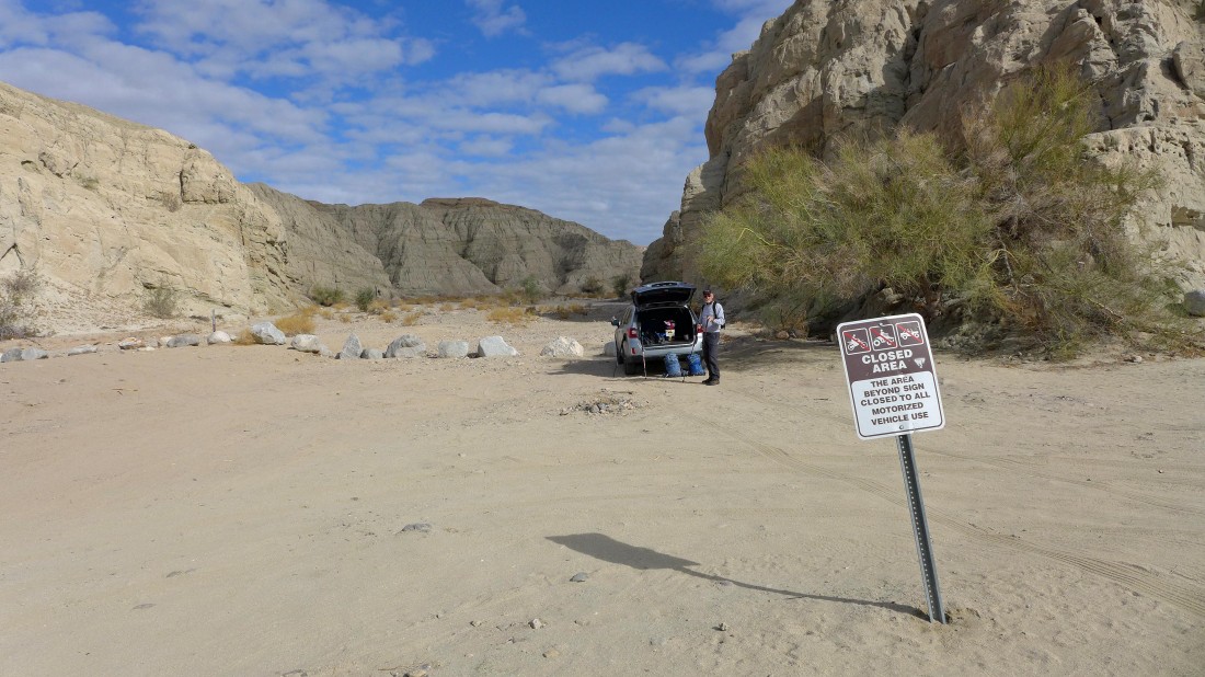
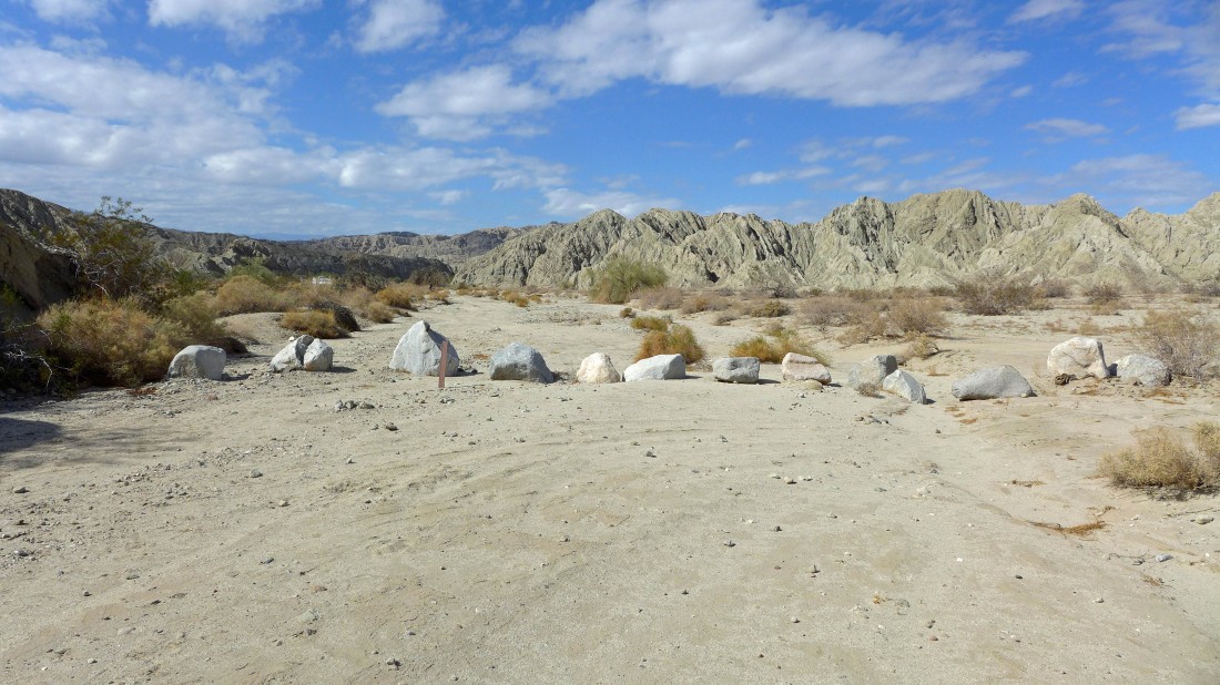
From the unincorporated community of Mecca, California... drive Box Canyon Road for 5.1 miles and park on the left side of the road
|
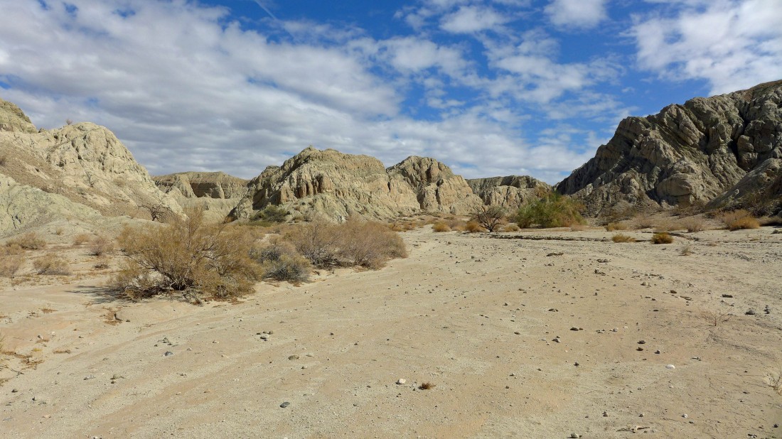
Hike up the canyon a short distance and take the left fork... footprints should help guide you.
|

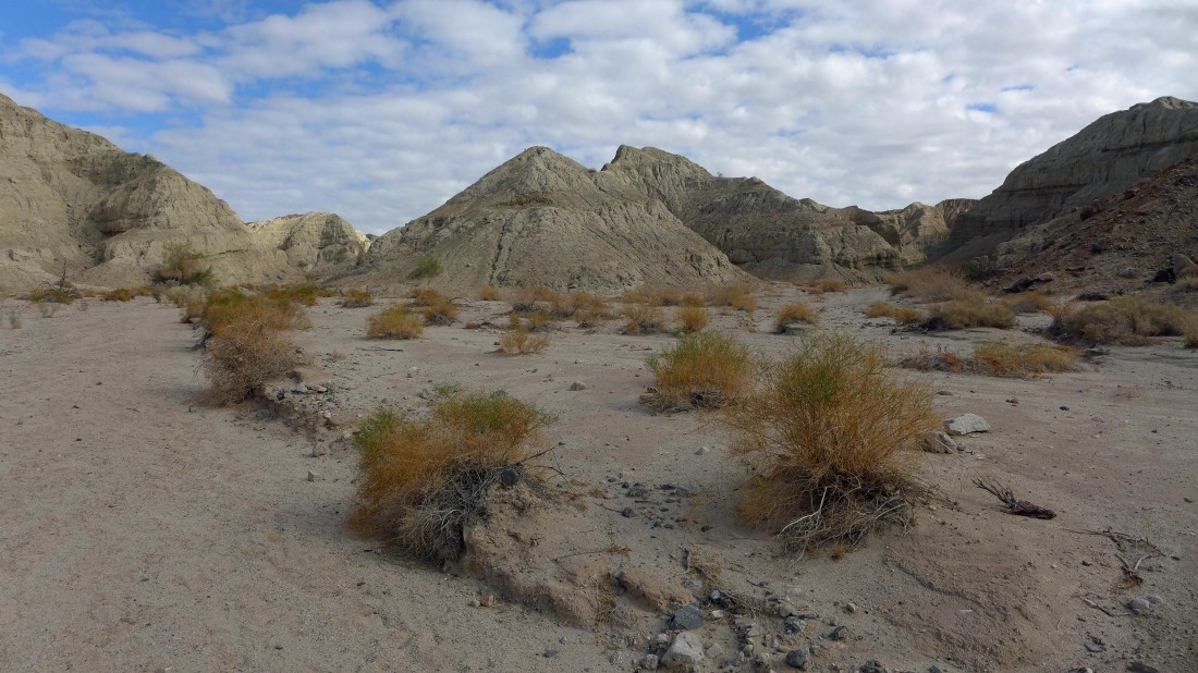
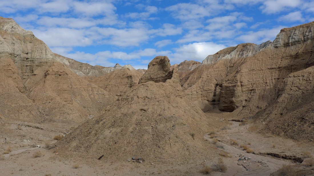
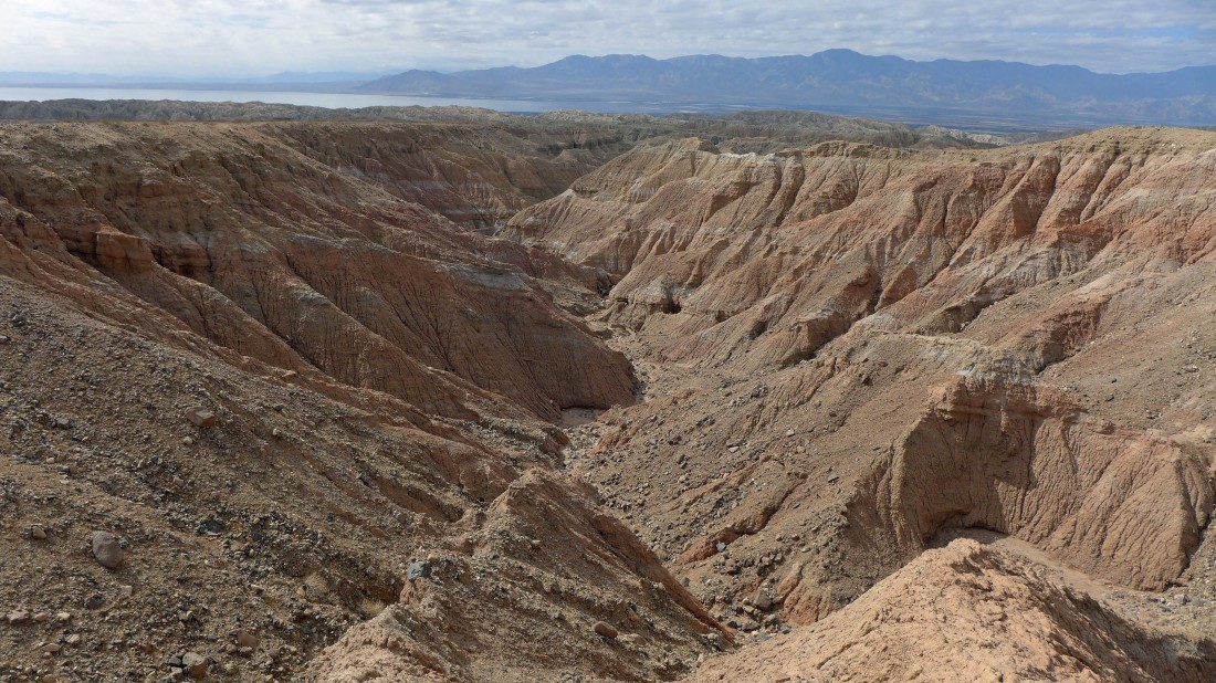
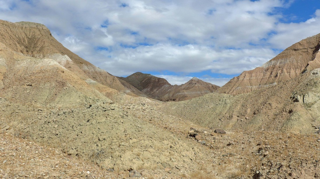
We have taken the left fork in the canyon... a nice variety of color in the distance.
|
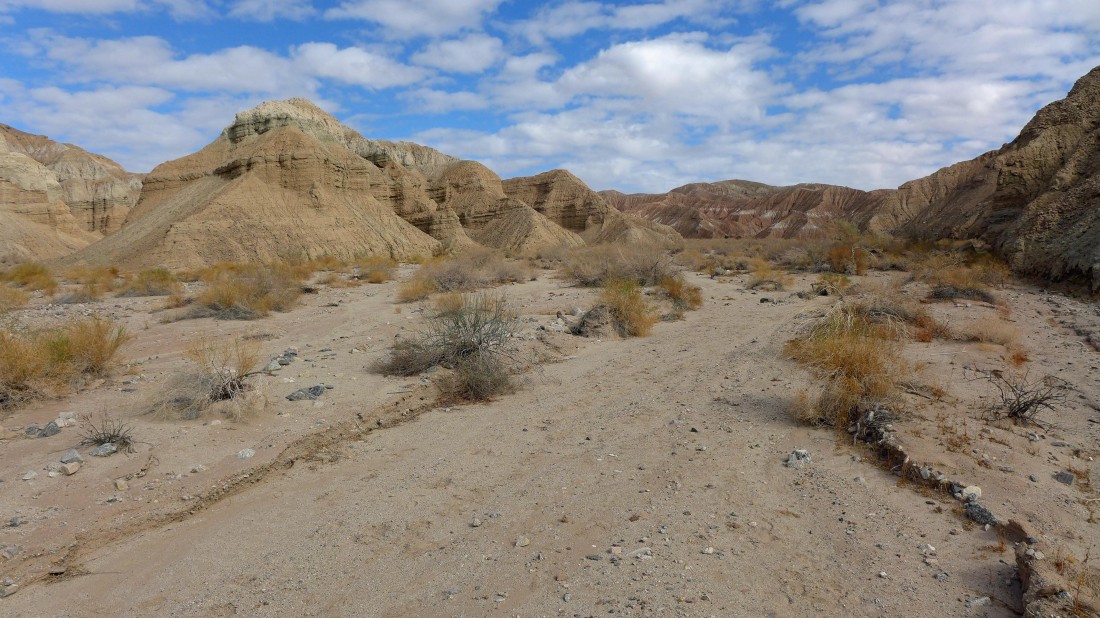
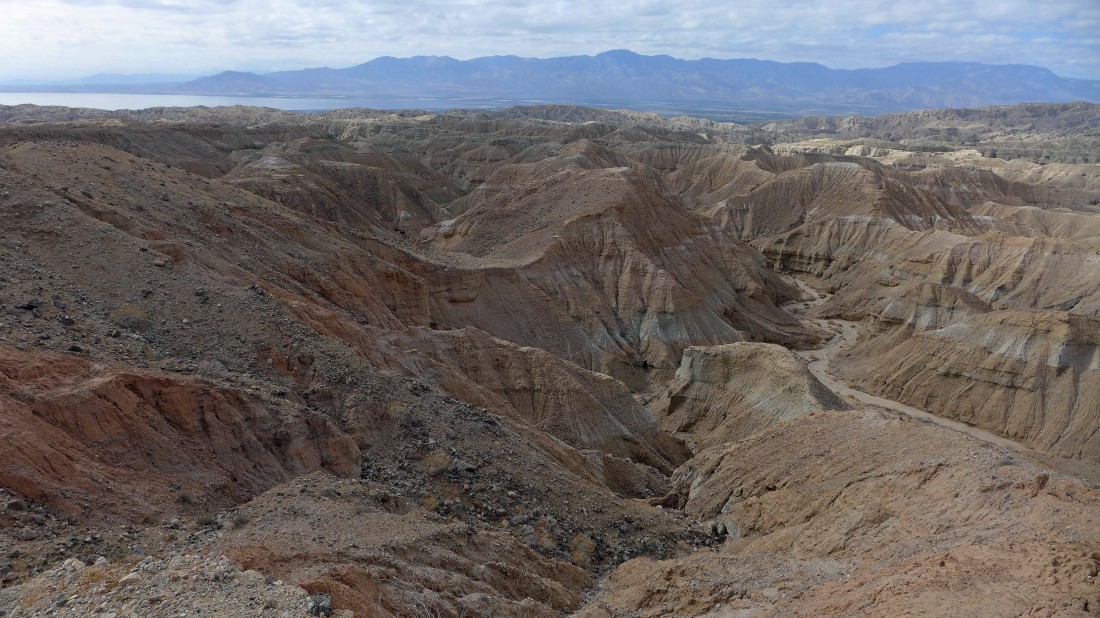
Continuing up canyon... going to take the left fork (far left in the photo) here also.
|
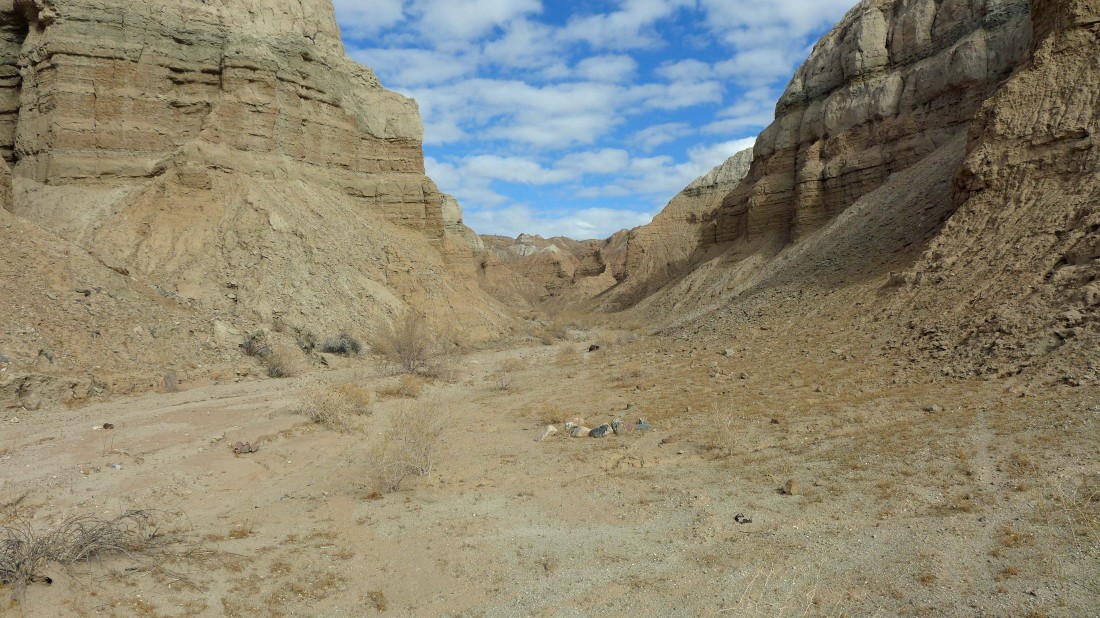
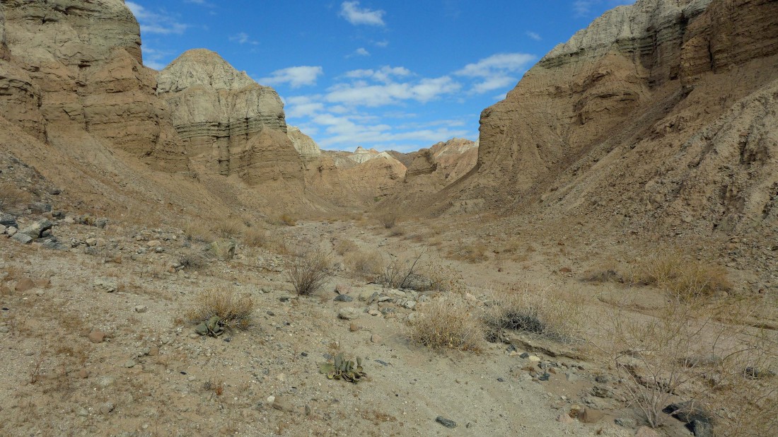
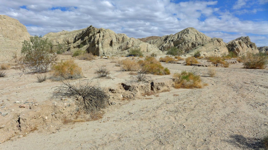
This canyon is more narrow than the last one... aiming toward the pyramid in the distance.
|
Staying left again and continuing up canyon.
|
Continuing up the canyon.
|
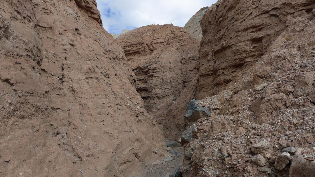
The canyon narrows.
|
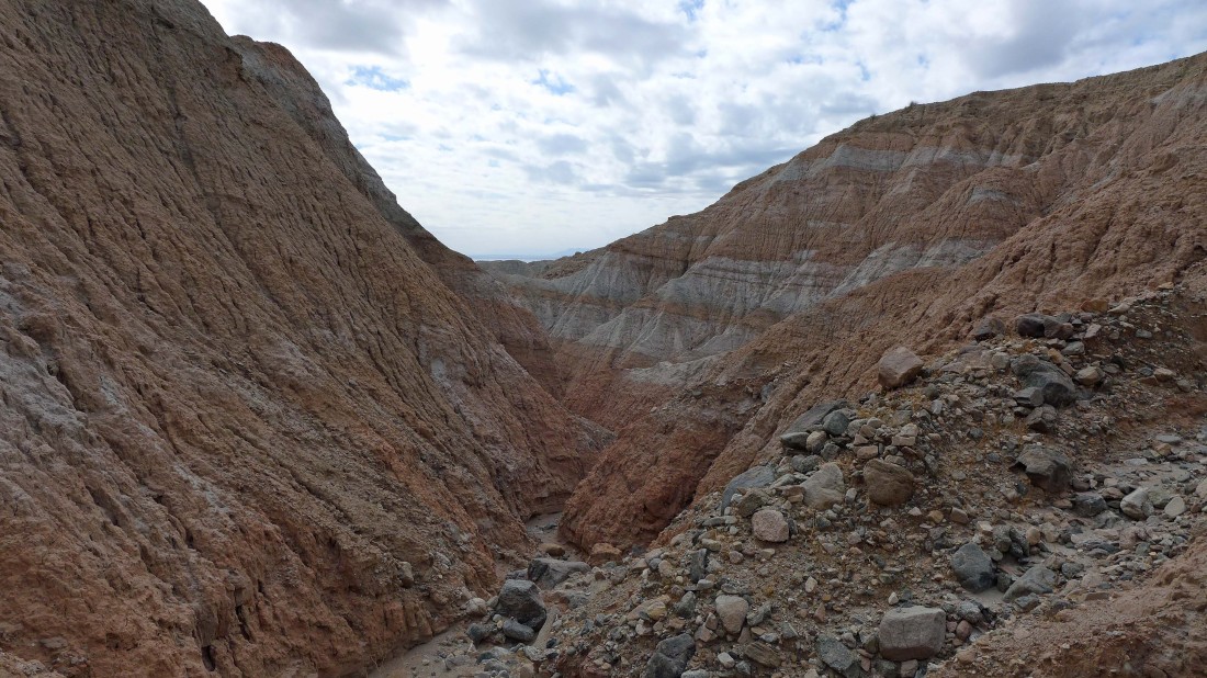
Gaining elevation and looking back down the narrow canyon.
|
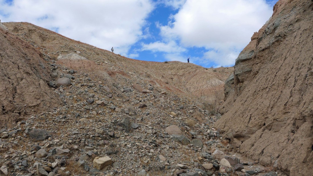
Time to scramble up out of the canyon.
|
Out of the canyon now... with the Salton Sea and Santa Rosa Mountains in the distance behind Gail.
|

A selfie from the Mecca Hills... briman, ragman and Denali Girl.
|
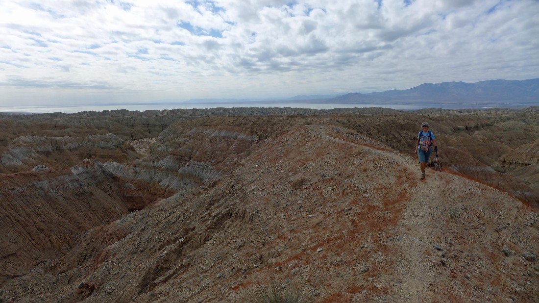
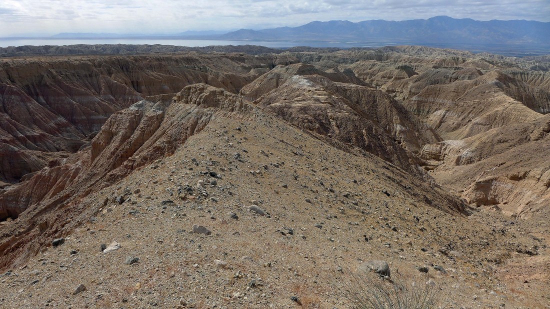
We will follow a good path over to the ridge on the right and look for another canyon that will take us back to the car.
|
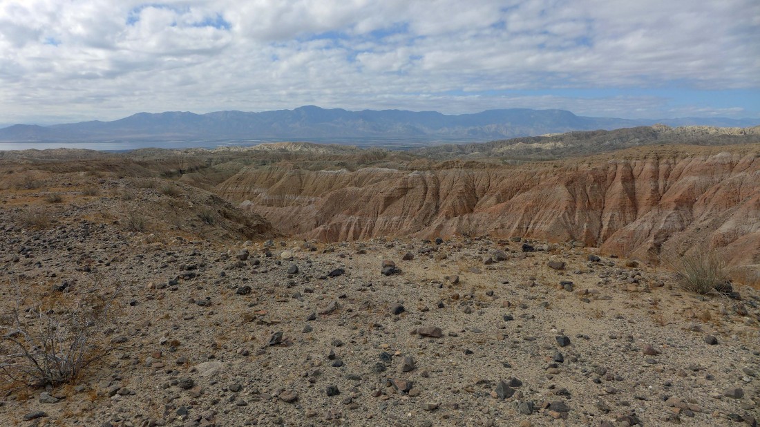
We can see a large black cairn in the left-center of the photo... it is over on that ridge I mentioned in the previous photo... lets go check it out.
|
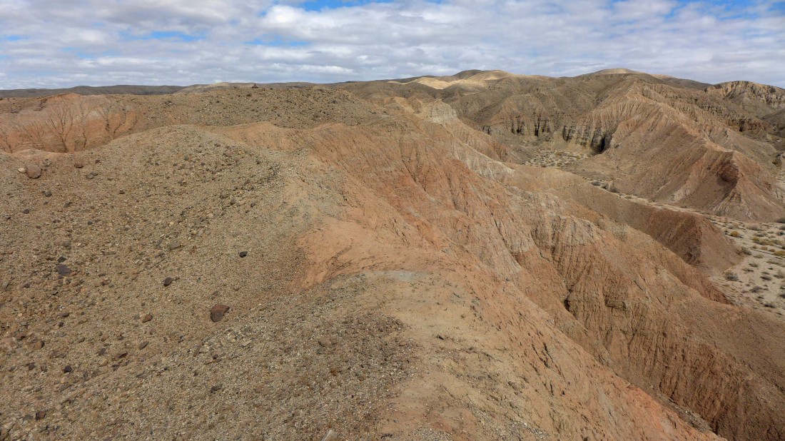
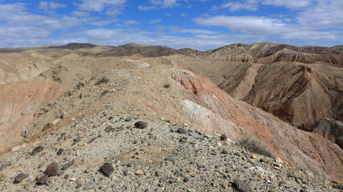
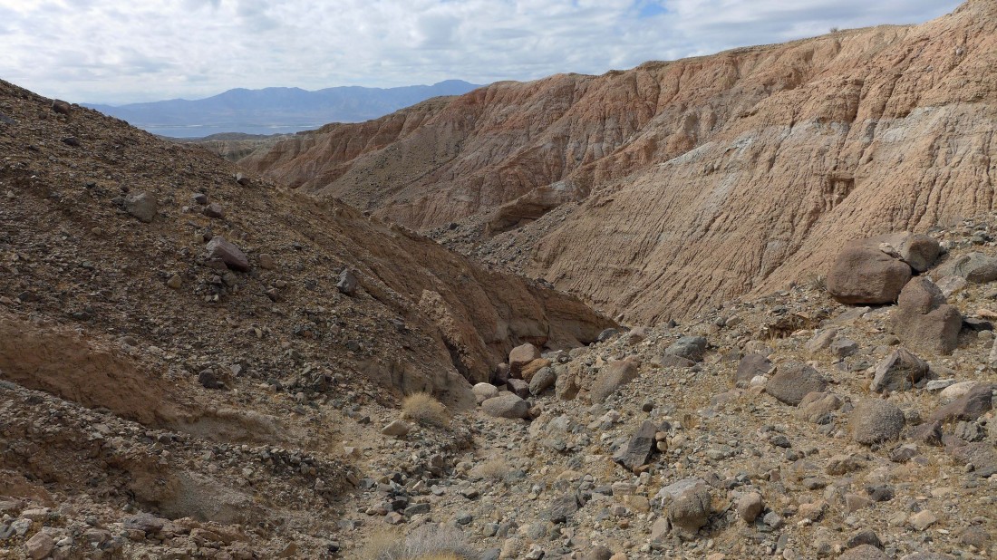
This canyon looks like it would work for our return to the car.
|
And this canyon also looks like it would work.
|
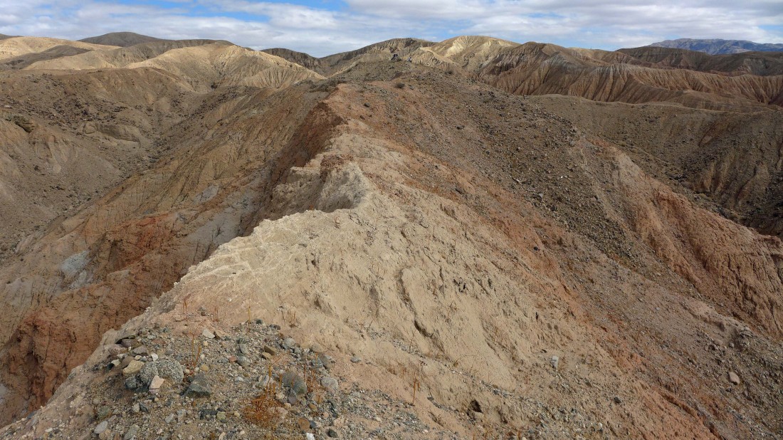
I decided to walk out this finger and take a closer look at the two possible return canyons.
|
I walked an eighth of a mile or so out that finger... here looking back at Gail and Brian who are barely visible in the center of the photo.
|
Returning along the finger (very narrow in places) to hook up with Gail and Brian.
|
We picked our return-canyon and are heading down into it.
|
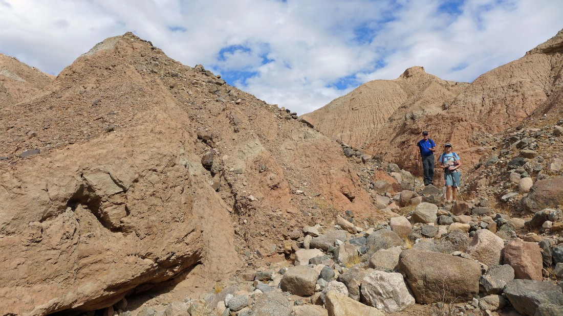
Hiking down our return canyon.
|
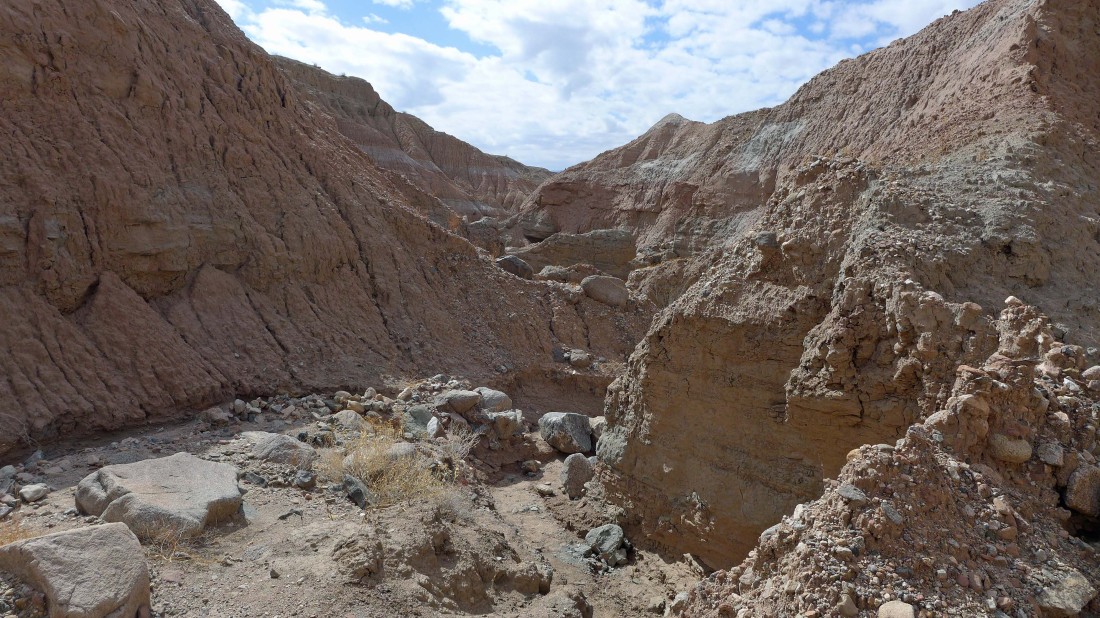
Continuing down.
|
Looking back up our return canyon.
|

Found a nice smoketree tree in our return canyon.
|

A Mojave Aster in the canyon... the only one we saw all day.
|

Trying to drive up the canyon didn't work out very well for someone.
|
We are out of the canyon and looking back.
|
Box Canyon Road is a short distance away... the hills in the photo are on the other side of the road.
|
We had to walk the road for a half-mile or so to get back to our car which is barely visible in the center of the photo... our loop hike was 4 miles, gaining 636 feet of elevation.
|
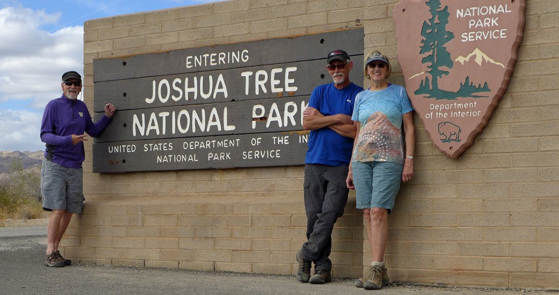
On the drive back to Desert Hot Springs we decided to drive through Joshua Tree National Park... what a day!
|
