Samuelson's Rocks and Point 4313 - 2.17.2018
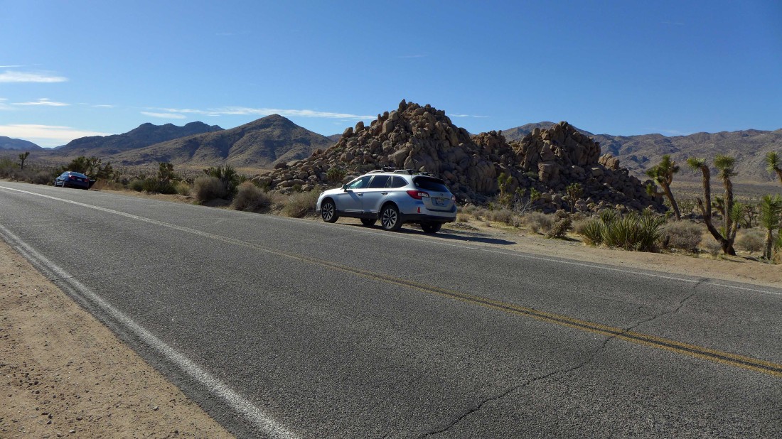
Park along side Park Boulevard... 3.5 miles from the west entrance to Joshua Tree National Park... by a pile of rocks referred to by some as Rocky Knoll.
|
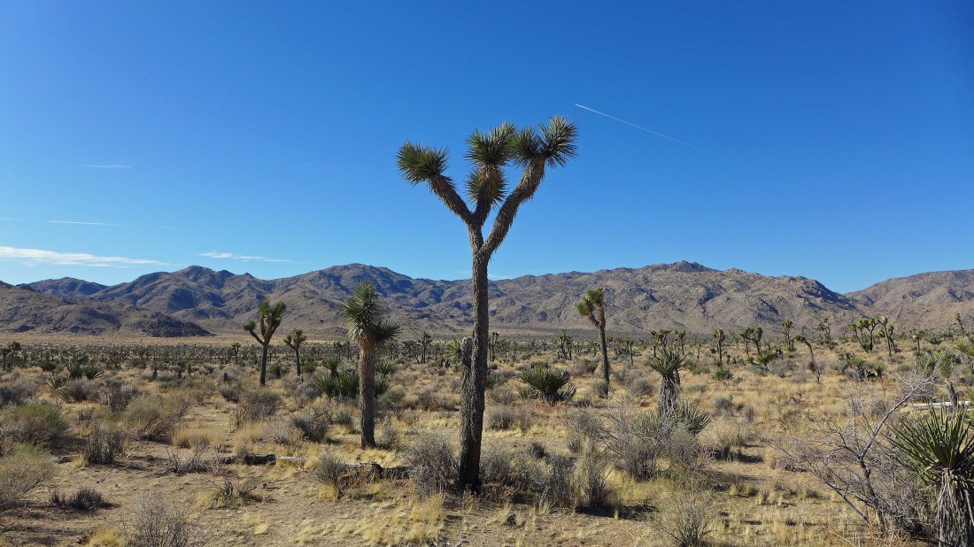
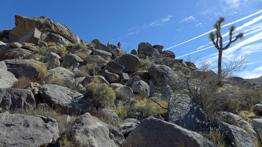
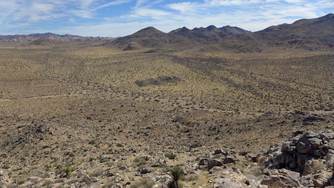
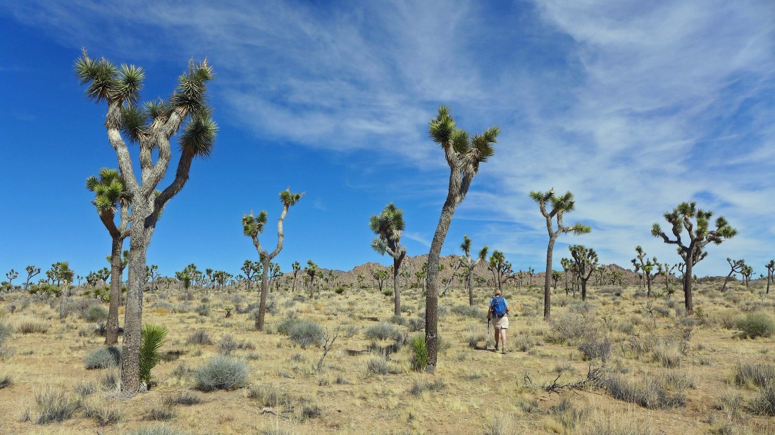
Start hiking cross-country in a SW direction... if you have a USGS topo map, Samuelsons Rocks are identified perfectly on it... Quail Mountain (at 5813 feet, the highest point in the park) is on the horizon just left of the joshua tree in the foreground.
|
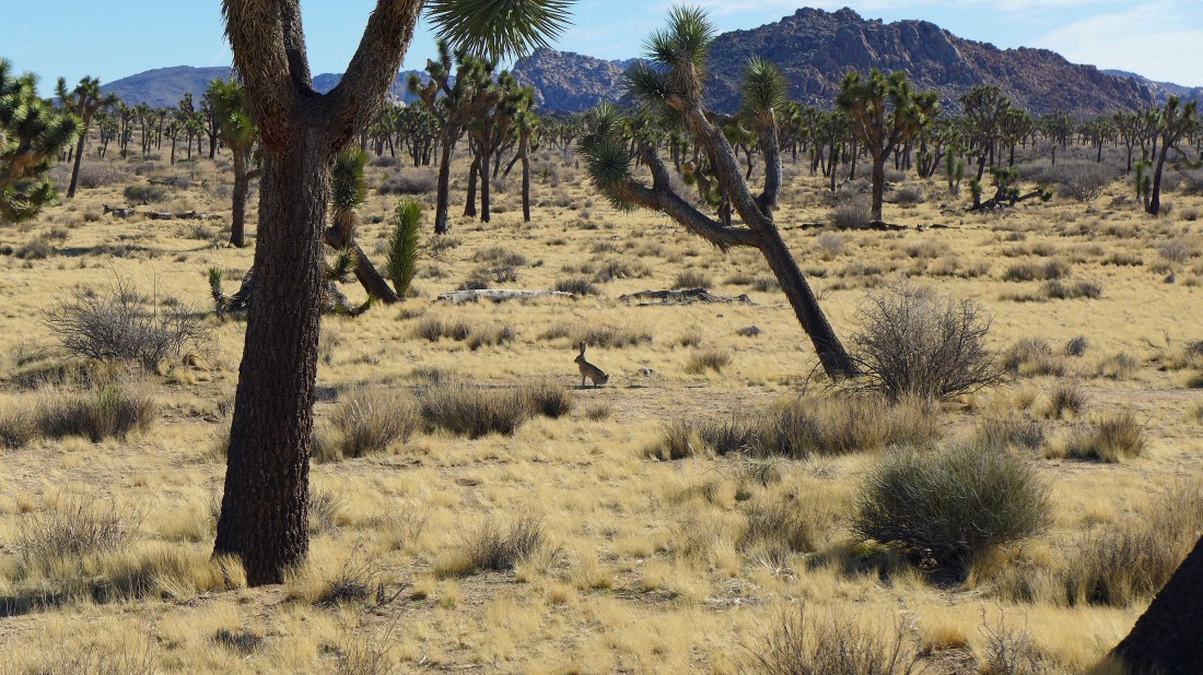
I have seen a lot of jack rabbits in JTNP... but never seen one who was willing to be photgraphed.
|
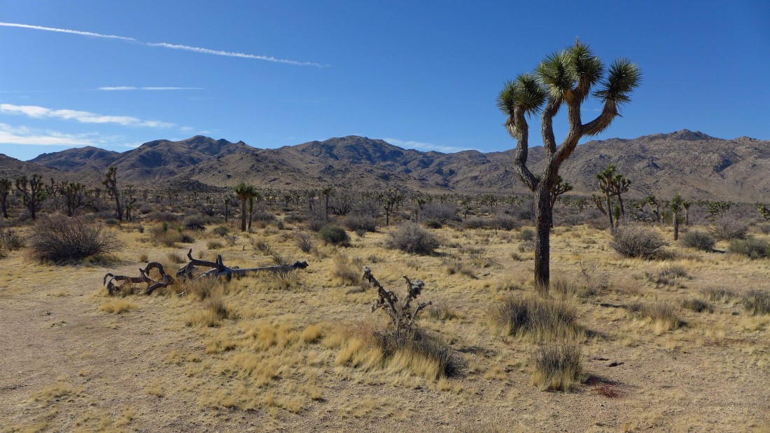
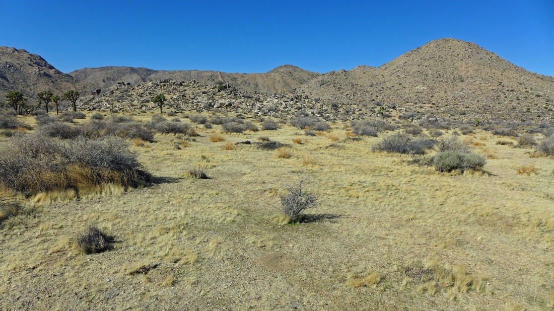
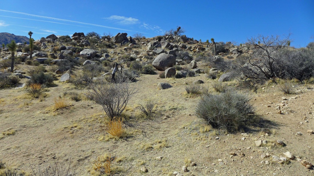
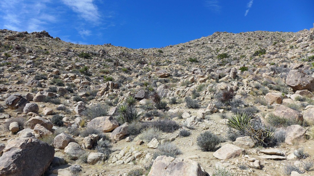
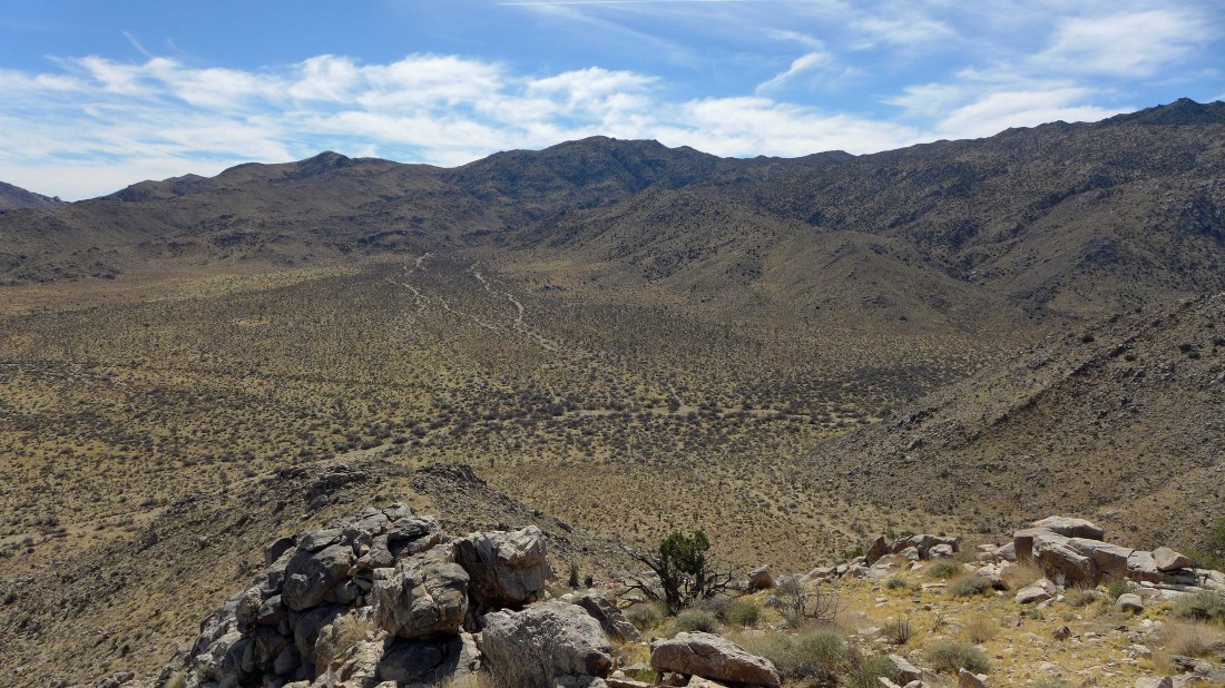
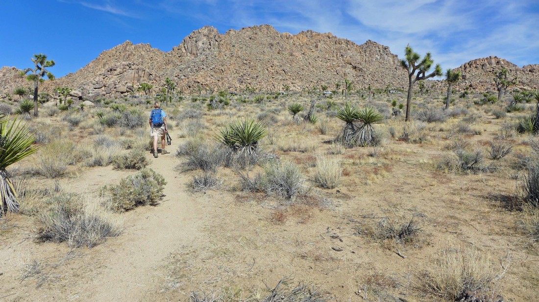
Continuing SW across the desert floor.
|
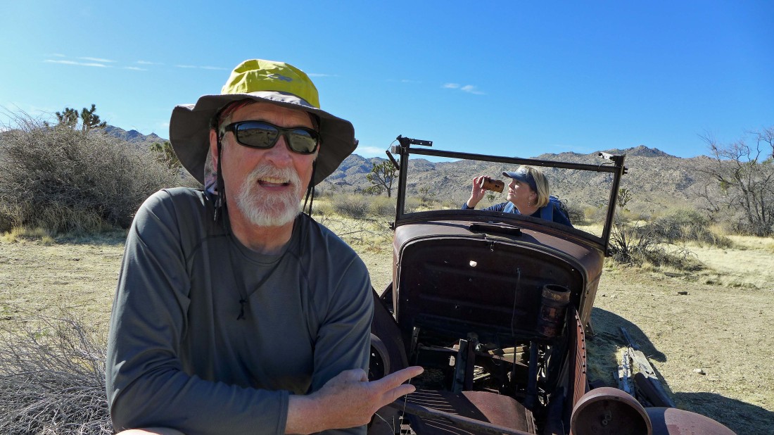
We found Samuelson's truck... Gail decided to have a beverage while driving... definitely illegal.
|
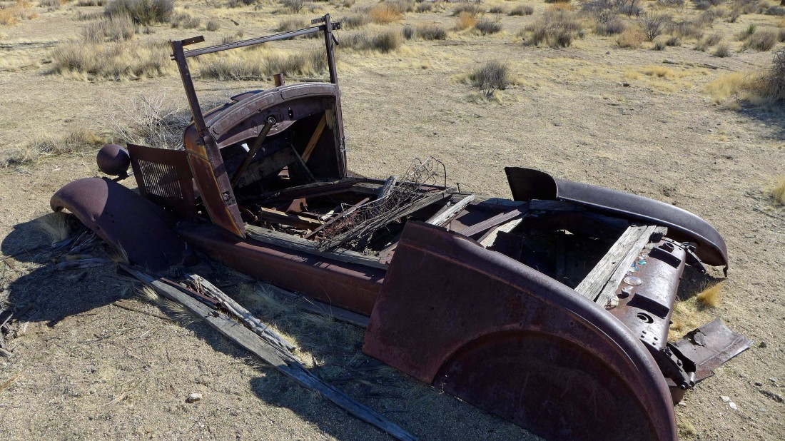
A closer look at the truck.
|
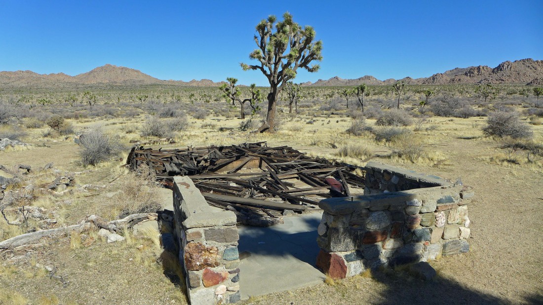
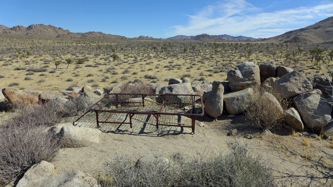
Samuelson's home is in need of repair.
|
Samuelson's Rocks are in the foreground (dwarfed by the mountains beyond)... with Point 4313 on the right.
|
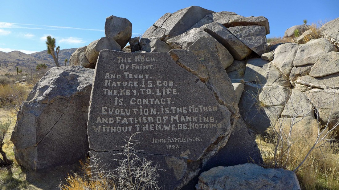
One of the inscriptions at Samuelson's Rocks.
|
We will explore the rocks a bit more.
|
It seems to me that Samuelson was a prophet.
|
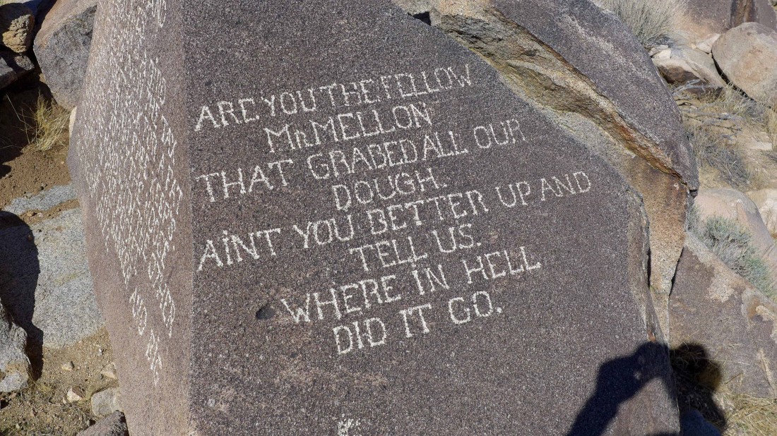
Apparently Samuelson had issues with Mellon Bank.
|
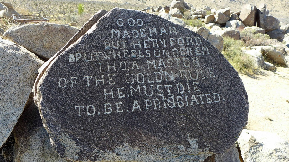
Not a perfect speller by any means... I like how he corrected the spelling of 'Henry'.
|
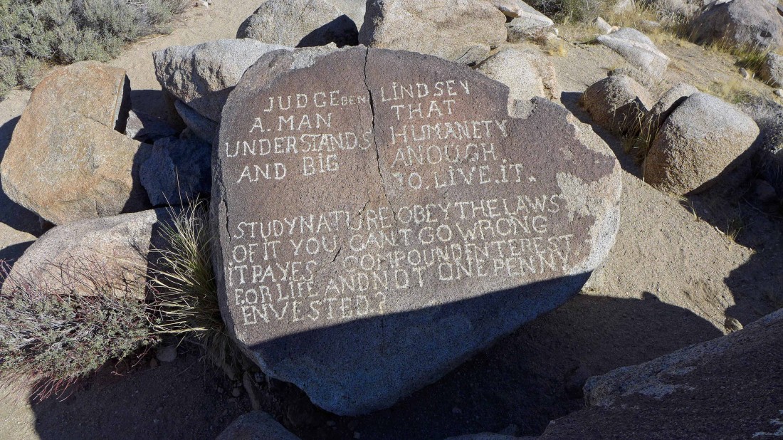
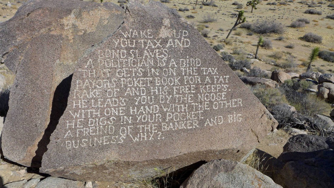
Not sure about this one.
|
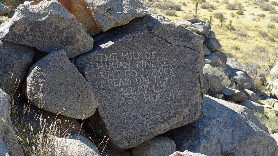
Samuelson may not have been a Herbert Hoover fan.
|
Samuelson may have enjoyed watching the stars from the top of his rocks.
|
Gail on top of Samuelson's rocks... you do need to explore the area a bit to find all of the inscriptions.
|
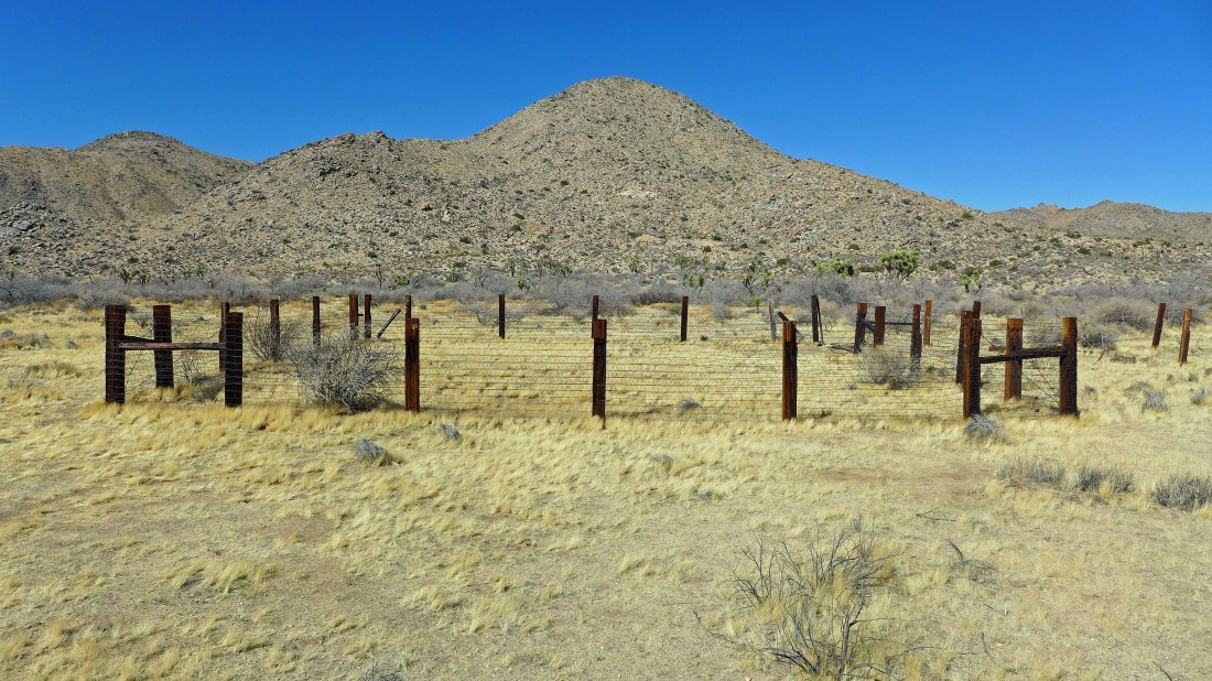
Samuelson had a corral near the rocks... and I'm going to scramble up Point 4313 in the center of the photo.
|
Working my way up to Point 4313... very easy terrain.
|
Heading up toward Point 4313... looking back down on Samuelson's Rocks in the center of the photo.
|

Nearing the summit of Point 4313... still on easy terrain.
|
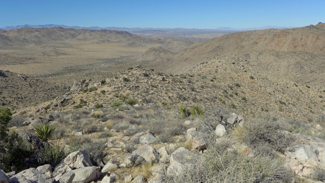
On top of Point 4313 now... looking down on Samuelson's Rocks in the center of the photo... Johnny Lang Canyon leads into the mountains in the right center of the photo.
|
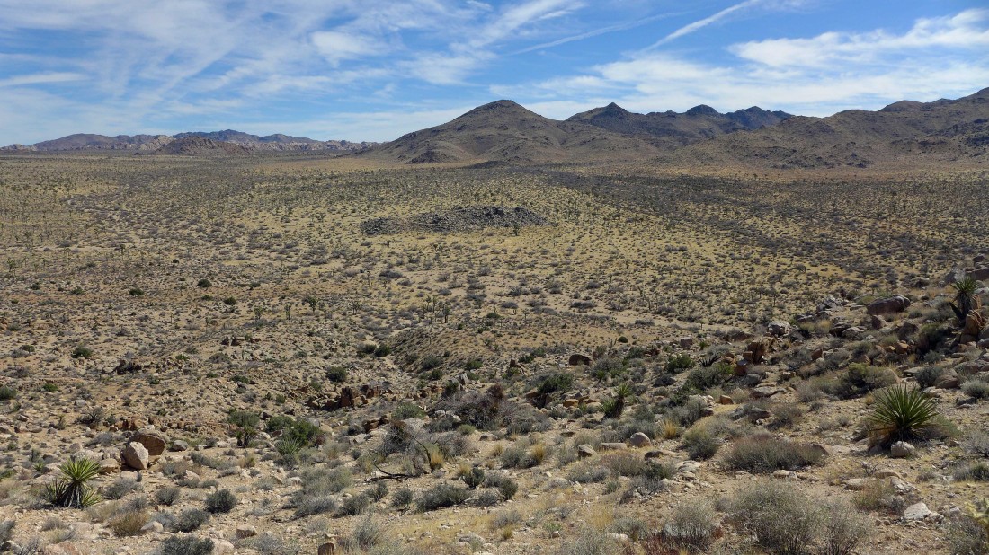
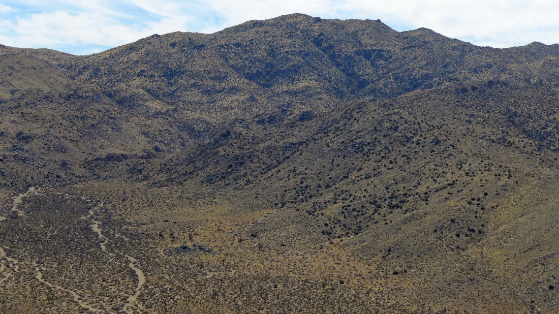
Looking across Quail Wash to Quail Mountain in the center of the photo.
|
Looking up Johnny Lang Canyon on the right... Vagmarken Hill is the rock formation in the distance in the center of the photo... Samuelson's Rocks is the black looking formation below on the right.
|
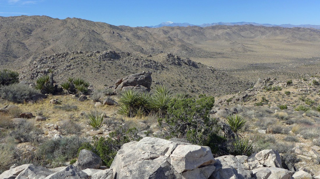
I'm high enough to see across the Little San Bernardino Mountains to the snow-capped, 11,503 foot San Gorgonio Mountain in the center of the photo.
|
Looking down Quail Wash to the town of Joshua Tree.
|
A closeup of Quail Mountain from Point 4313.
|

Almost back down to Samuelson's Rocks.
|
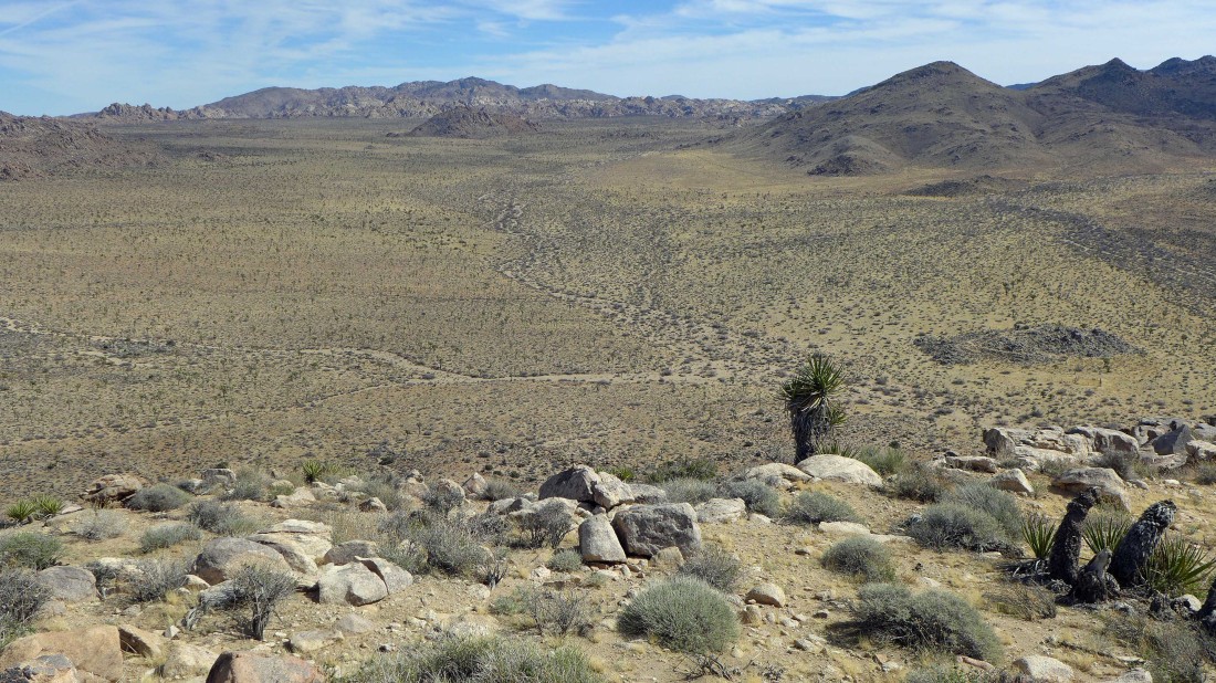
Hiking cross-country on the desert floor... on the way back to the car.
|
Almost back to the car... our hike and scramble was 4.4 miles, gaining 851 feet of elevation.
|
