Lang Mine, Lang Mine Peak and Mt. Minerva Hoyt - 2.21.2018
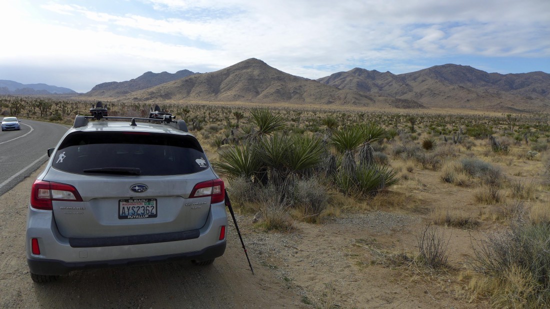
Drive Park Boulevard Road 3.8 miles from the West entrance of Joshua Tree National Park and park along side the road... Mount Minerva Hoyt is in the center of the photo... with the higher Quail Mountain on the right.
|
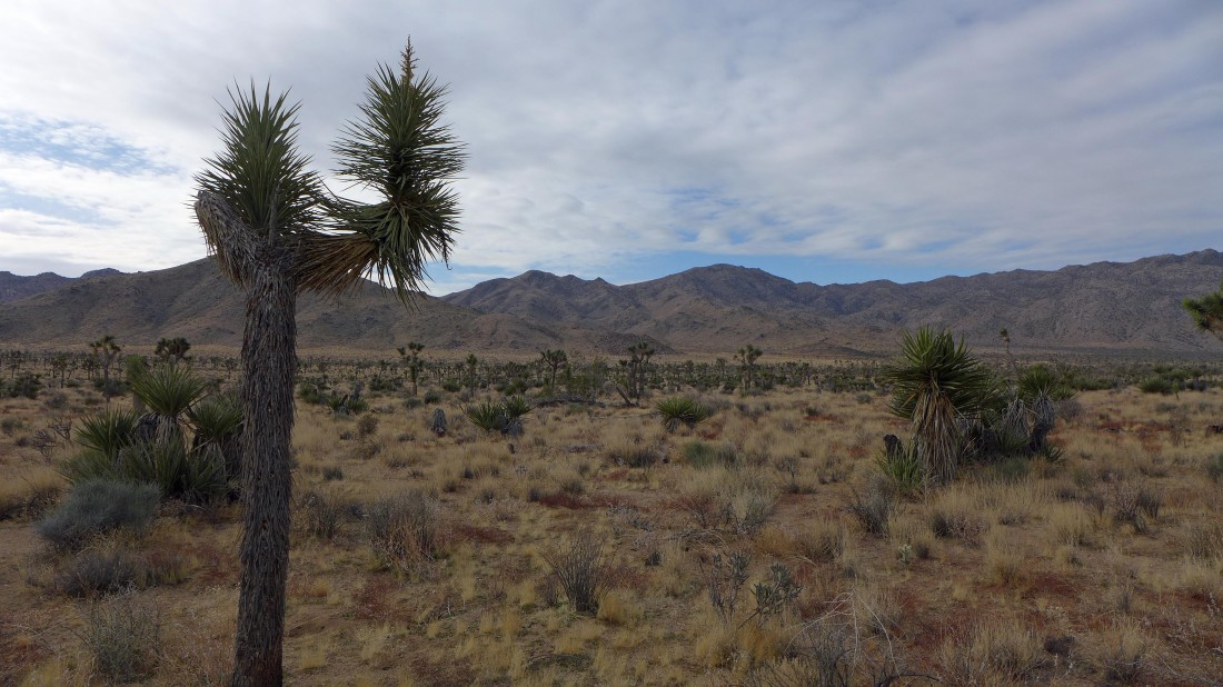
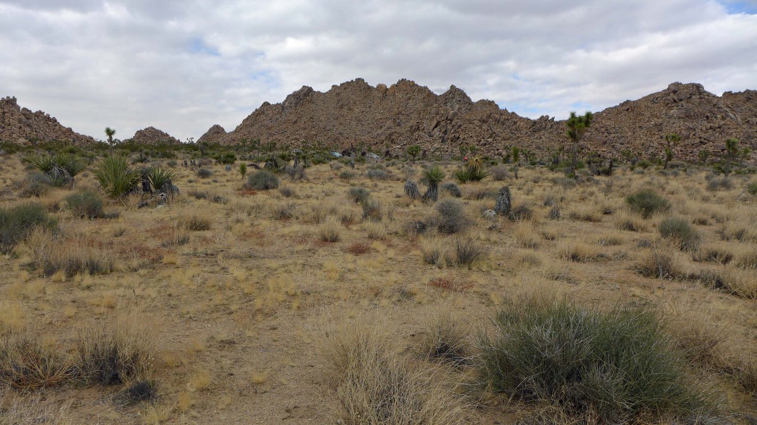
Heading cross country on the desert in search of Johnny Lang Canyon... Mount Minerva Hoyt is just to the right of the joshua tree... and Quail Mountain (at 5814 feet, the park high point) to the right of Hoyt.
|
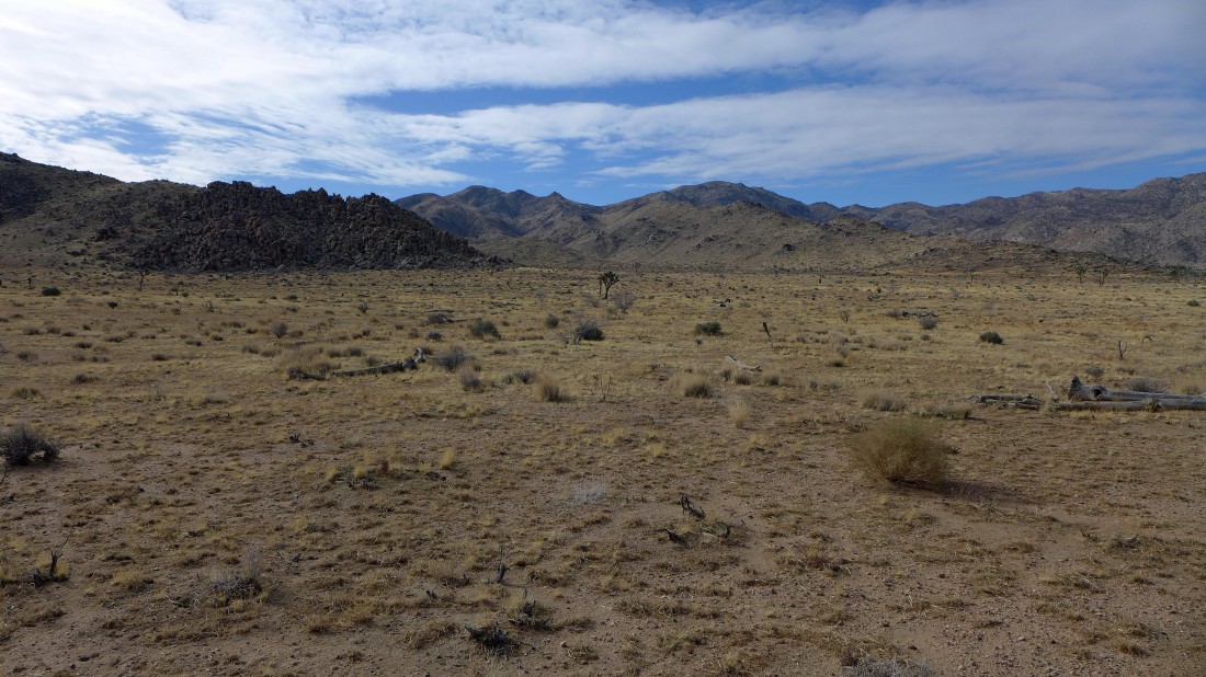
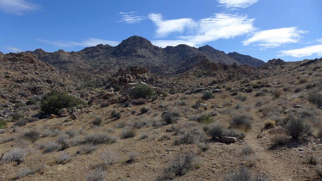
Nearing the broad entrance to Johnny Lang Canyon... with Minerva Hoyt and Quail in the center of the photo.
|
Crossing over the gated Quail Spring Road.
|
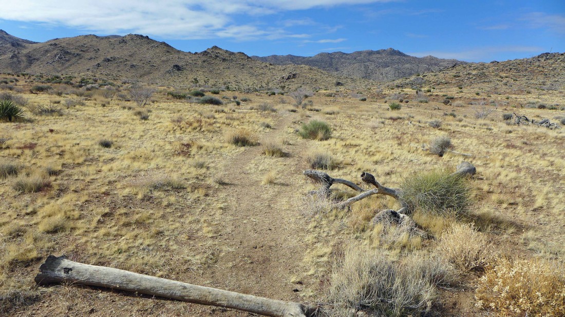
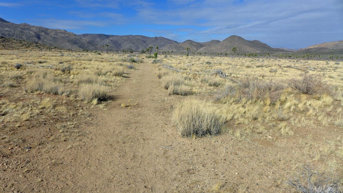
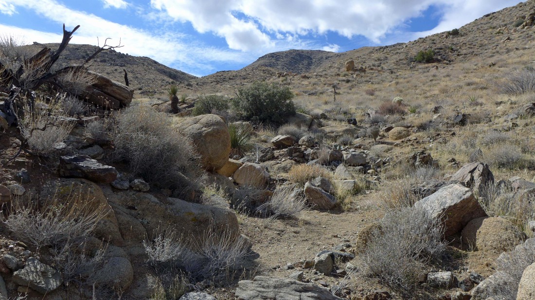
Shortly after crossing Quail Spring Road I found the path that will take me into Johnny Lang Canyon.
|
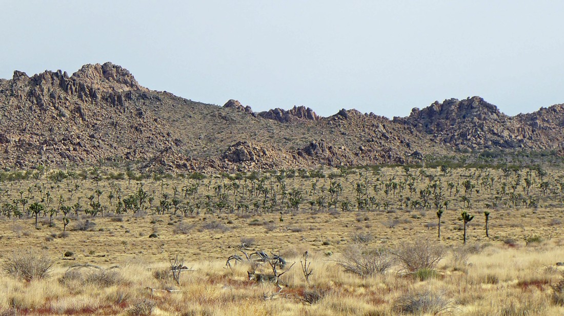
This is not a good photo... but notice the coyote very near the bottom of the photo... it followed me into Johnny Lang Canyon for more than a mile before getting bored and moving on.
|
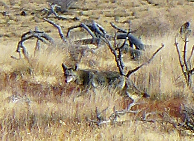
A close-up from the previous photo of my little buddy.
|

Looking back at my route across the desert into Johnny Lang Canyon.
|
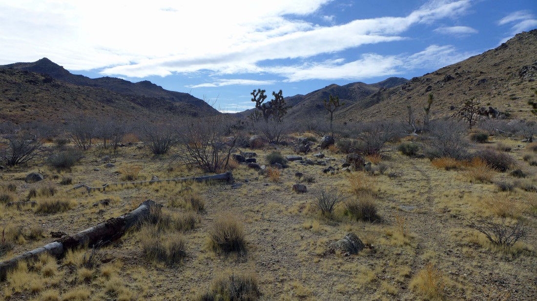
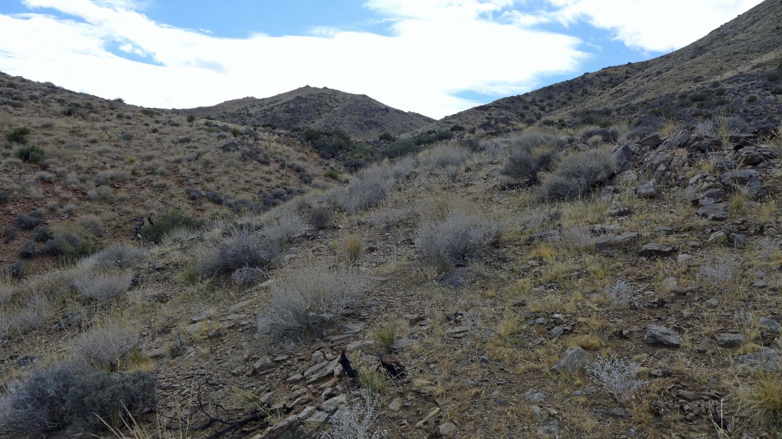
Heading up Johnny Lang Canyon.
|
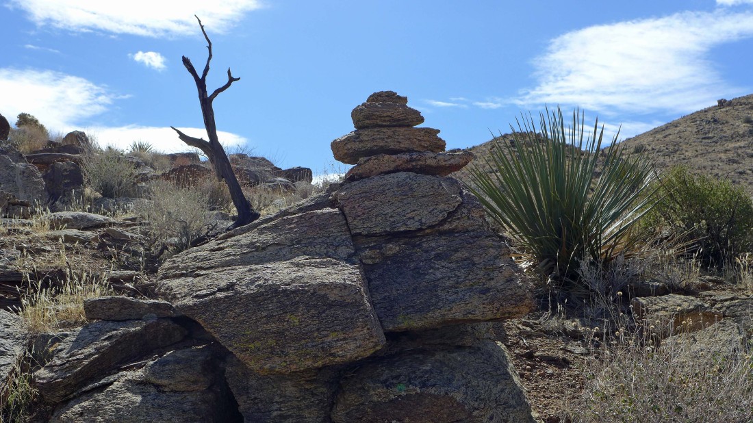
After hiking up the canyon for a mile or so I started to find cairns that I followed for awhile as the canyon started to narrow.
|
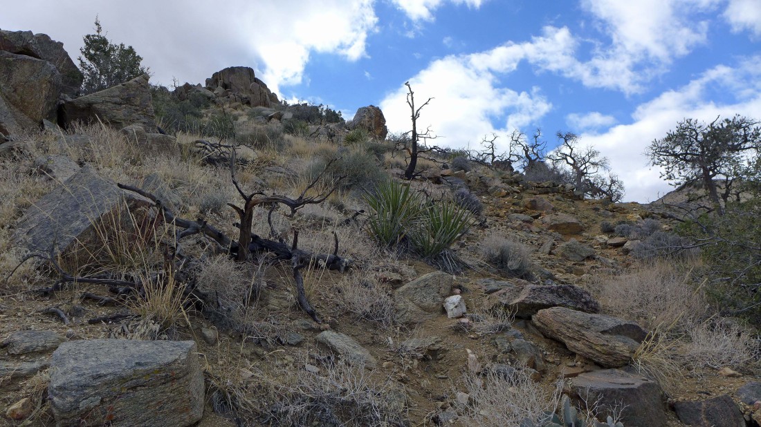
Nice rock formations as I follow a good path with lots of cairns... I got caught up in following the cairns and hiked more than a quarter mile up the canyon before realizing that I had missed the turnoff to the Lang Mine.
|
After back tracking a quarter mile I found this unsigned route that will take me up to the Lang Mine.
|

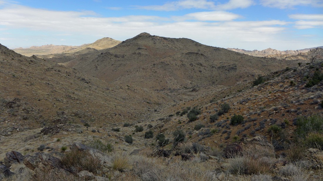
Continuing up this tributary canyon on my way to the Lang Mine... I still can't see the mine from here.
|
Looking back at my route as I gain elevation up the tributary canyon from Johnny Lang Canyon.
|
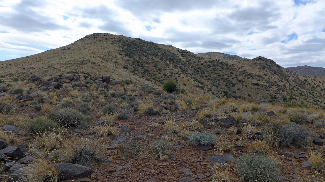
High enough now to see Lang Mine Peak (5041') in the center of the photo... the Lang Mine is 250 feet below the summit... but hard to see in the photo.
|

The mine can be seen in the photo, but not easily seen.
|
Nearing the Lang Mine.
|
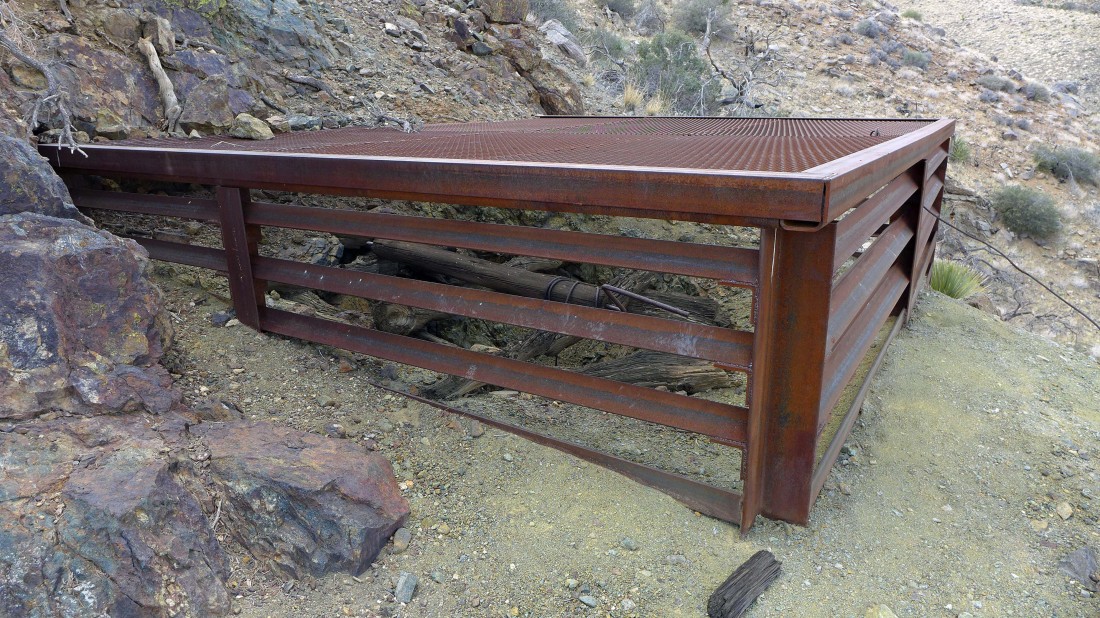
The mine shaft has been sealed.
|

Looking down the mine shaft... at least 75 feet deep.
|

Continuing above the mine and heading for the summit of Lang Mine Peak.
|
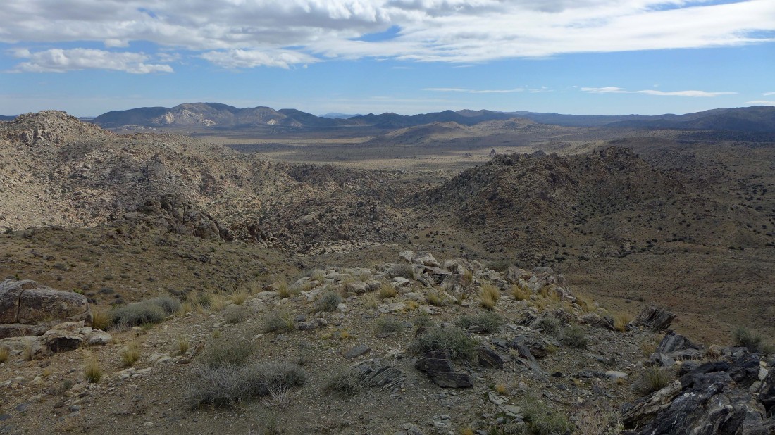
On the Lang Mine Peak summit... looking down Johnny Lang Canyon to the desert floor and Quail Springs... Queen Mountain is on the far right horizon.
|
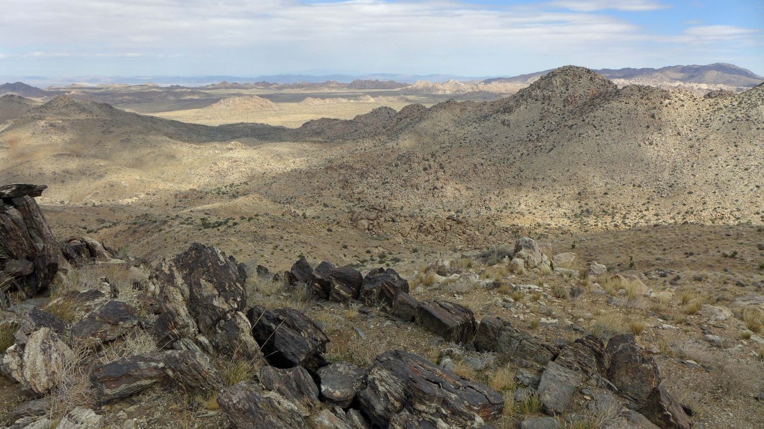
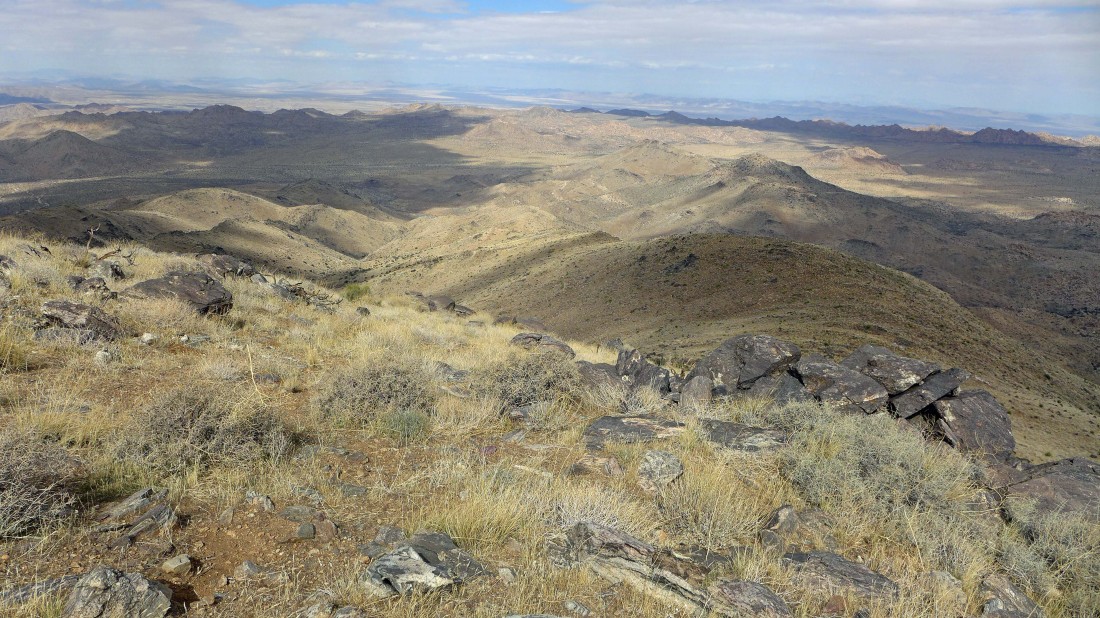
From the summit of Lang Mine Peak I am looking across Lost Horse Valley to Ryan Mountain on the left horizon and Lost Horse Mountain on the right horizon.
|

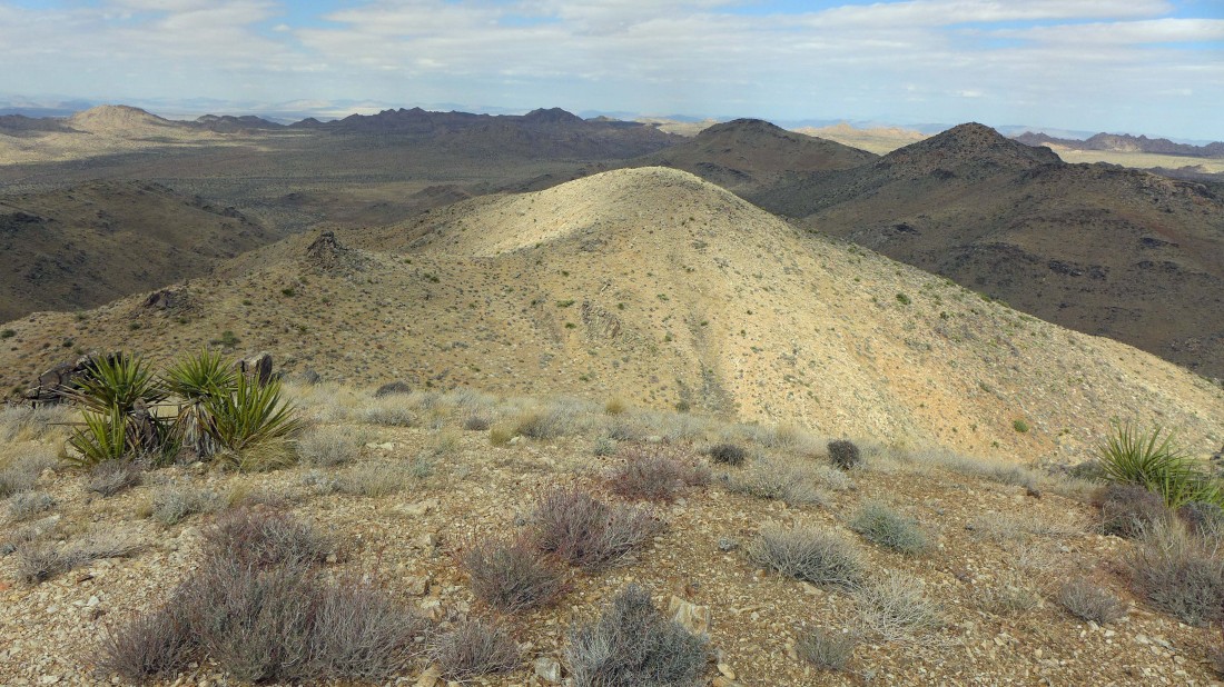
Looking west to Mount Minerva Hoyt from Lang Mine Peak... Minerva Hoyt played an instrumental part in establishing Joshua Tree National Monument.
|

Working my way over to Mount Minerva Hoyt.
|
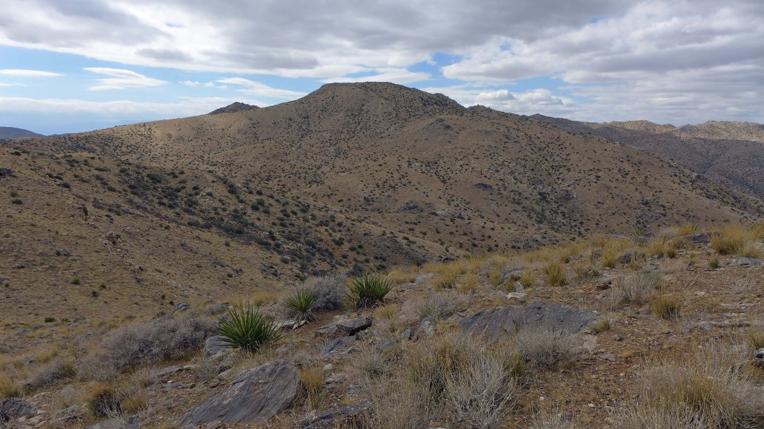
Qual Mountain from Mount Minerva Hoyt.
|

Yours truly from the summit (5405') of Mount Minerva Hoyt.
|
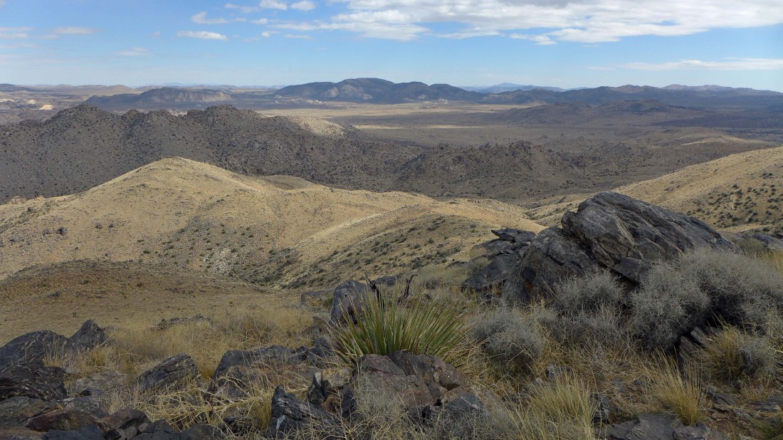
On the Minerva Hoyt summit... looking east at Lang Mine Peak in the left foreground... and across Lost Horse Valley to Ryan Mountain in the center of the photo.
|
On my return to the car I'm going to leave the Minerva Hoyt summit and follow the ridge in the center of the photo to maintain a high route for more than a mile until it forces me down into the canyon.
|
Looking back at Minerva Hoyt as I head along the ridge.
|

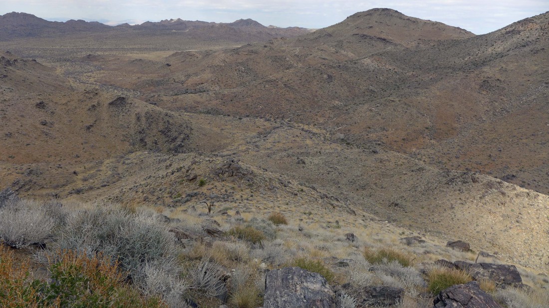
Looking down Johnny Lang Canyon as I work my way down along the ridge.
|
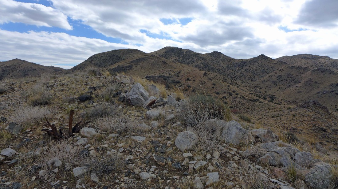
My ridge walk had a few ups and downs... but nothing of significance.
|
Looking back at my ridge route down from Mount Minerva Hoyt (center of photo)... Lang Mine Peak on the far left... and Quail Mountain on the far right.
|
Almost down to the floor in Johnny Lang Canyon.
|

Back in Johnny Lang Canyon... still a couple miles left to get back to the car.
|
Nearing my car... the hike/scramble was 8.7 miles, gaining 2036 feet of elevation... you could save a half-mile of mileage if you pay more attention on your route to the mine.
|
