Forks Benchmark, Point 3678, Nob Peak and Red Dome - 2.23.2018
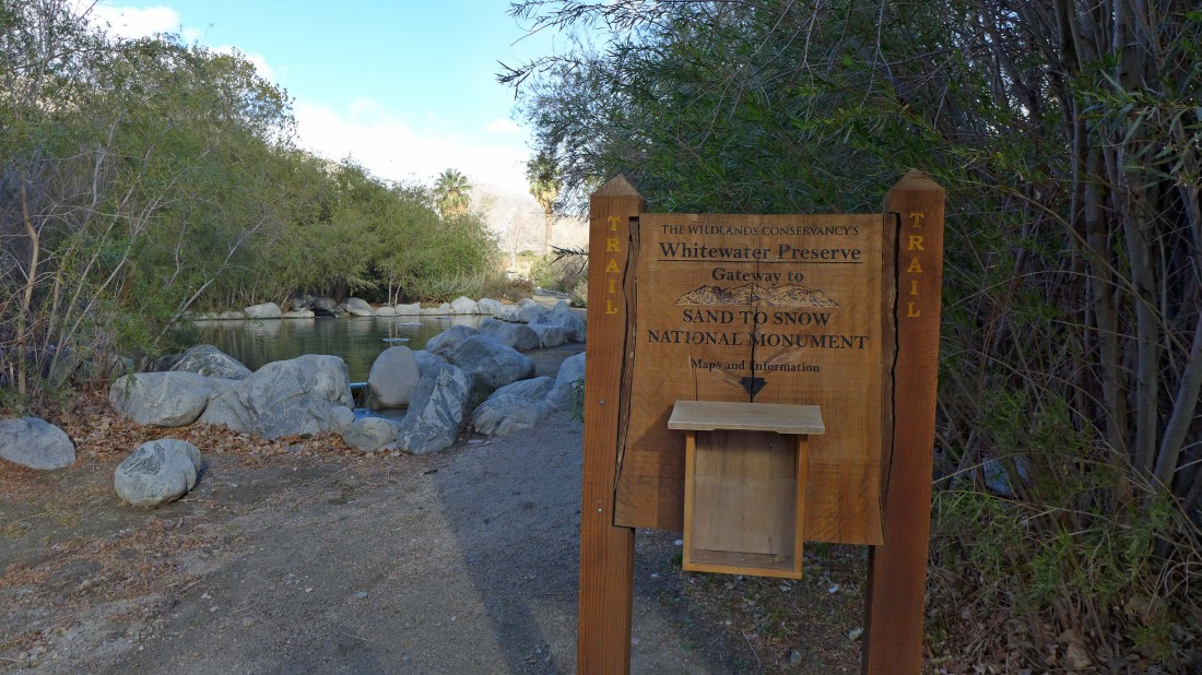
A 30 minute drive from Palm Springs... take Exit 114 off of I-10 and drive 4.8 miles up Whitewater Canyon Road to the parking area.
|
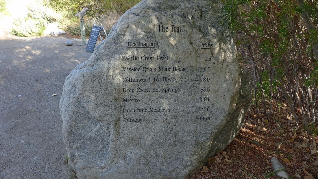
It is only a 2,445 mile hike to Canada... my hike will be much shorter.
|

True that!!!!!
|
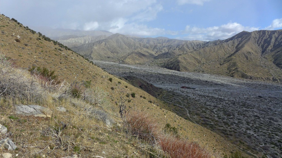
Beautiful looking up Whitewater Canyon... but it looks like I might be on the edge of a storm.
|

I'm heading for the Pacific Crest Trail... a short section crosses the preserve... my destination high point is Nob Peak... looks like the path on the right will take me straight to it.
|
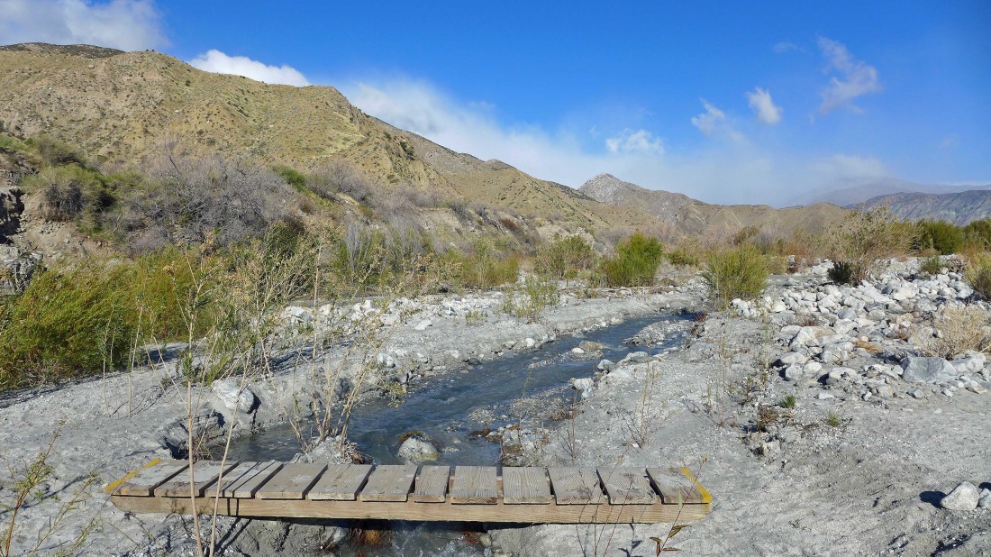
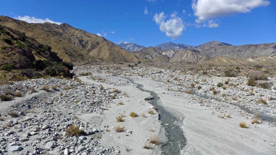
Crossing the Whitewater River.
|
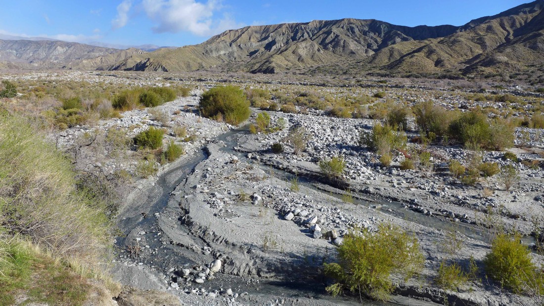
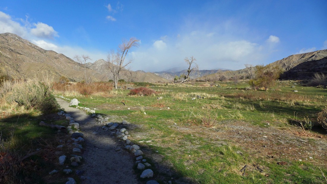
The Preserve is located in the San Bernardino Mountains... I'm on the west side of the canyon looking across to the east side.
|

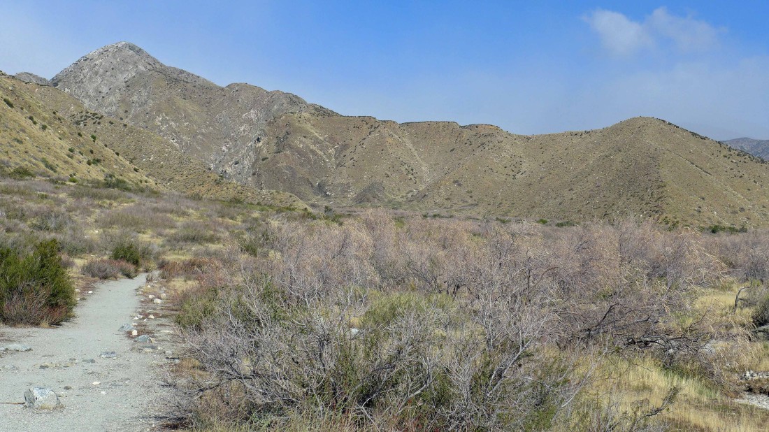
After hiking a half-mile from the parking area I have reached the PCT... I will continue north.
|
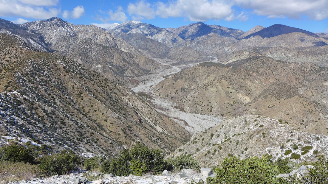
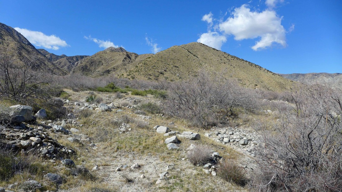
The day's ridge walk is right in front of me... leave the PCT and head cross-country for Forks Benchmark on the far right... then follow the ridge to Point 3678 (center of photo) and then on to Nob Peak on the far left.
|
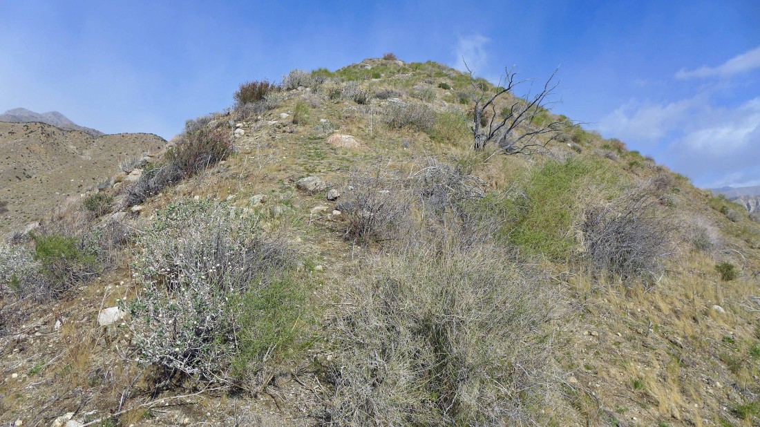
Starting up to Forks Benchmark.
|
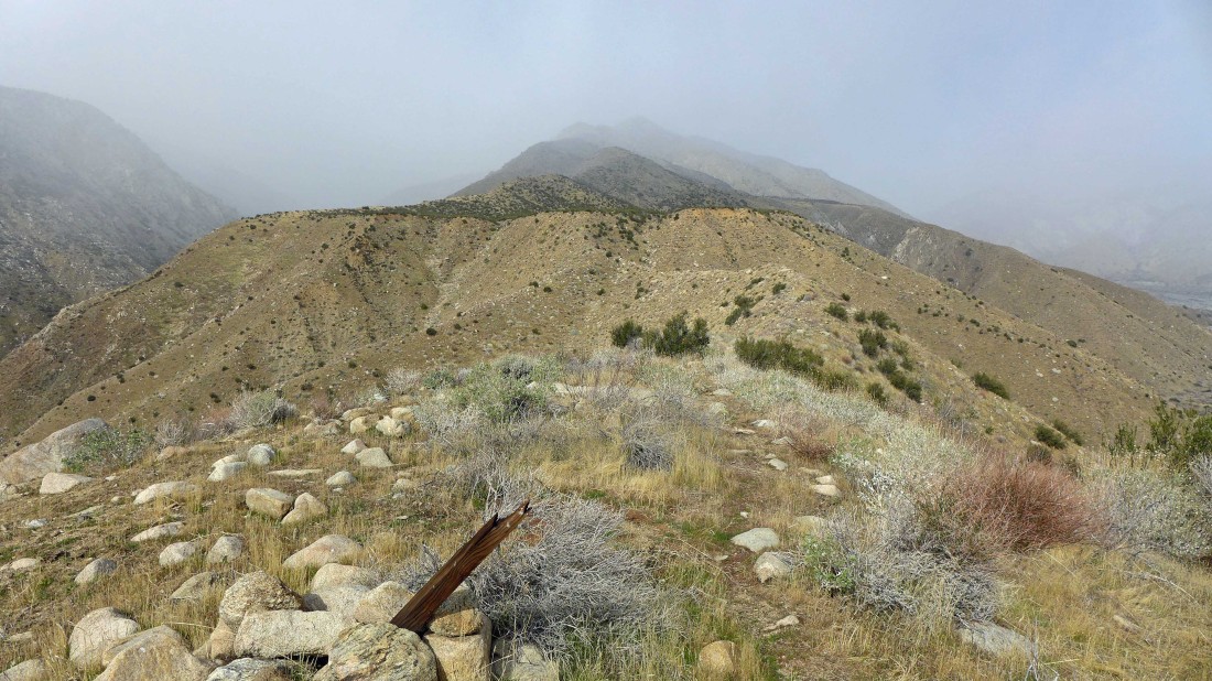
Forks Benchmark is ahead... looks a little stormy up at Nob Peak on the far left.
|
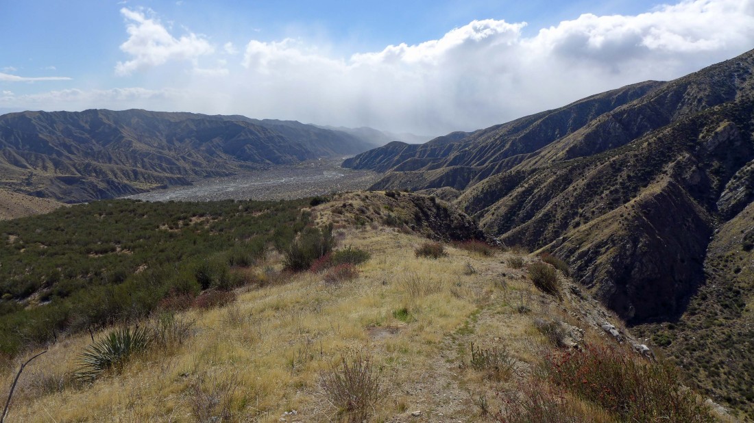
The storm is working its way down Whitewater Canyon... the PCT is below... and it crosses the canyon near that little pile of rocks (Red Dome) in the middle of the canyon.
|
Oh boy... standing on Forks Benchmark and looking at my intended ridge walk up to Point 3678 and Nob Peak... do I need to make a new plan?
|

Looking back down the ridge at Forks Benchmark in the far left foreground as I continue along the ridge... now it looks like the storm is filling in the lower part of Whitewater Canyon... any yes, it is snowing.
|

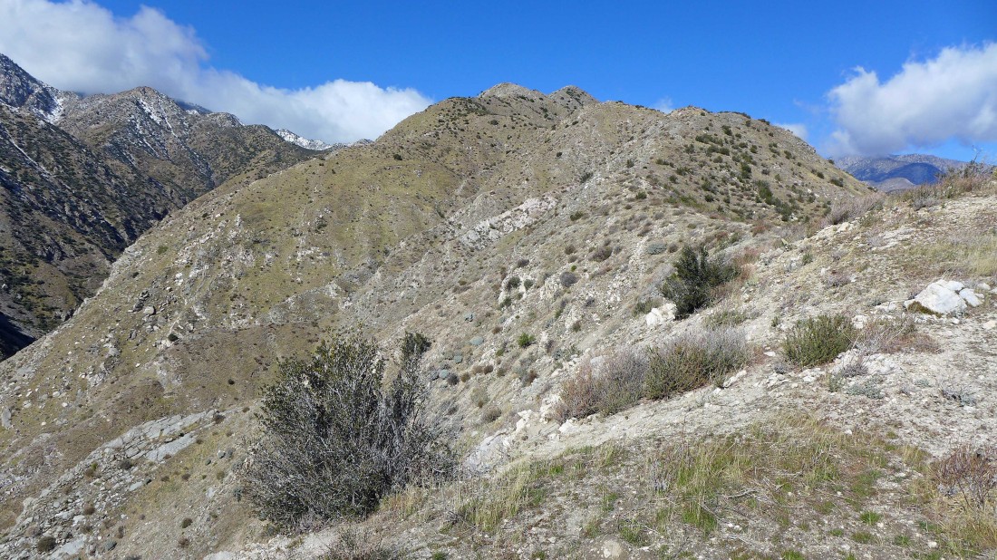
Continuing along the ridge toward Point 3678 and Nob Peak... looks like the weather is improving some.
|
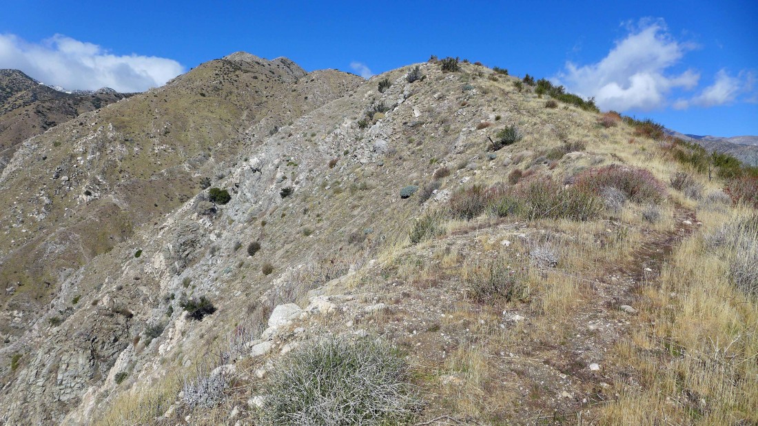
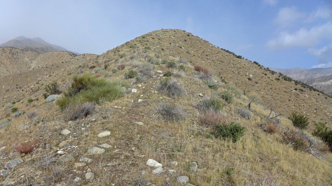
Nearing Point 3678... there is a good-to-reasonable path the entire way to Nob Peak.
|
The weather is still a little stormy down near the parking area.
|
Continuing along the ridge for Nob Peak.
|

Looking east across Whitewater Canyon to the Little San Bernardino Mountains on the horizon... home of a portion of Joshua Tree National Park.
|
Looking back down my ridge route on the left... looks like the weather has improved down canyon.
|
Looking back at my ridge route... every step higher along the ridge brings broader views... Point 3678 is the bump in the left foreground with a dusting of snow on it.
|

Still have some work left to reach Nob Peak... but the path is still reasonable.
|

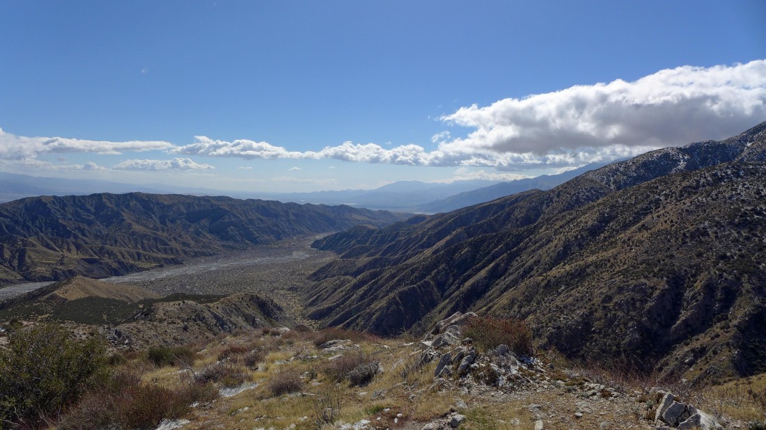
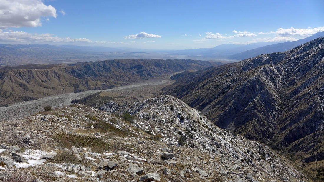
High enough now to get a good look down Coachella Valley at the top of the photo... home of the San Andreas Fault, Palm Springs and several other cities.
|
Approaching the high point on Nob Peak (4455').
|
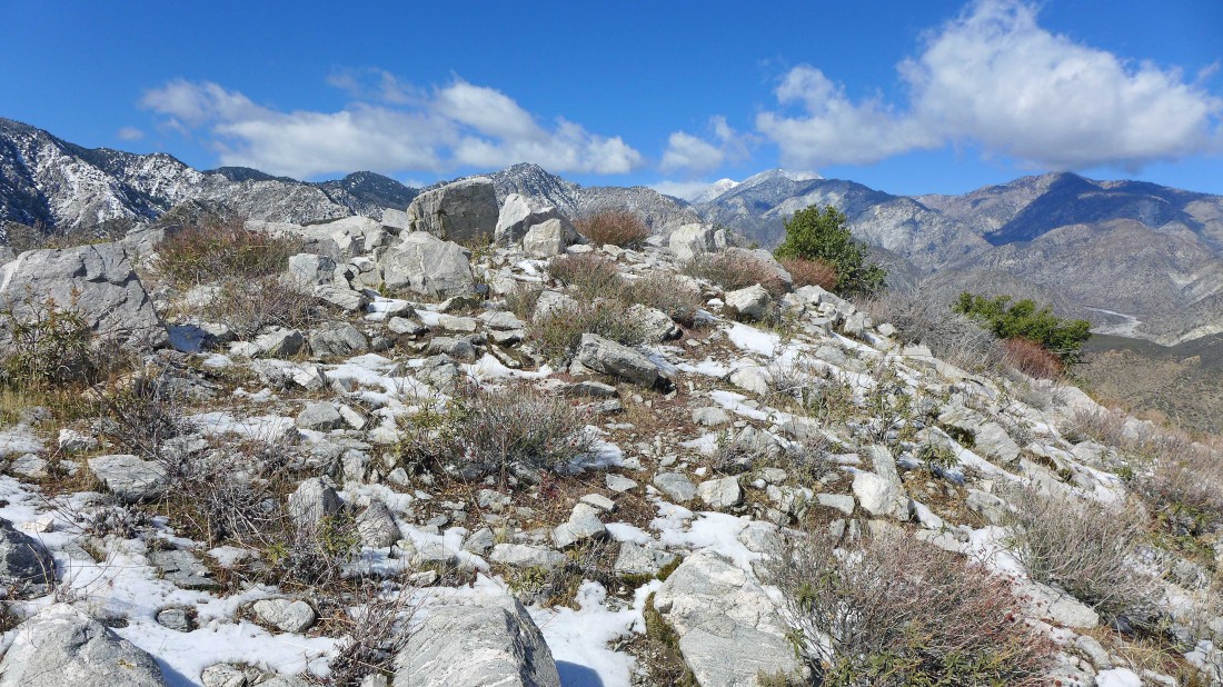
On Nob Peak... looking NW up Whitewater Canyon to the snow covered, 11503 foot San Gorgonio Mountain in the center of the photo.
|
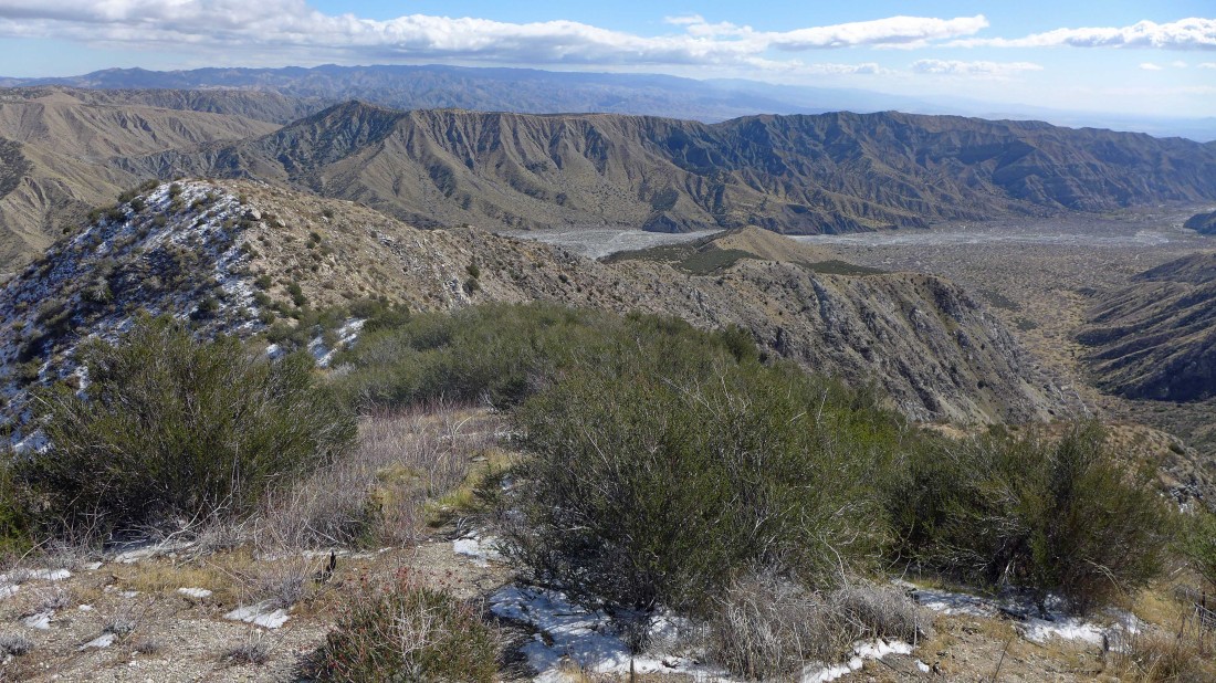
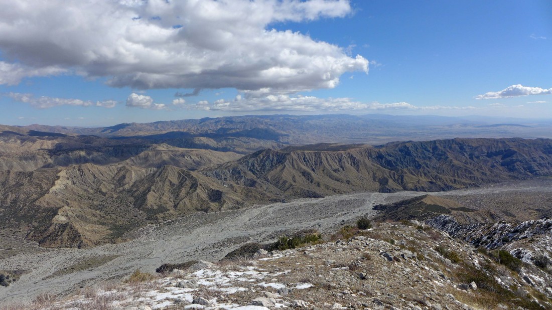
On Nob Peak... looking SE beyond Whitewater Canyon to the Coachella Valley.
|
On Nob Peak... looking east across the canyon to the Little San Bernardino Mountains... the city of Desert Hot Springs is just beyond the foothills on the right... and on the far left of the photo look hard for Hwy 62 cresting Morongo Valley.
|

Time to head down... my ridge route is in full view.
|
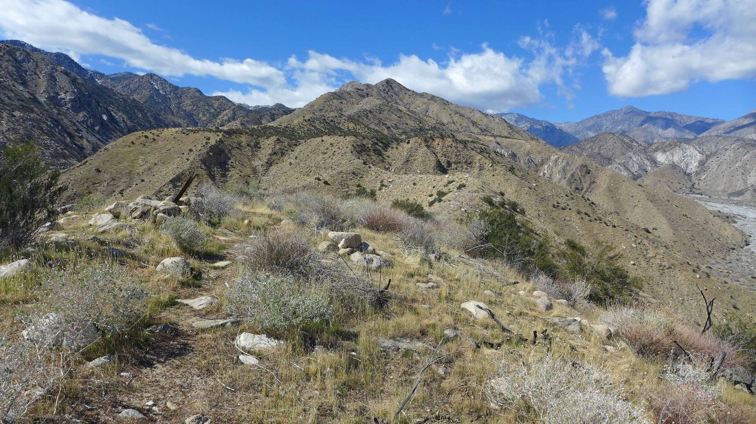
Almost off of the ridge... standing on Forks Benchmark and looking back at Point 3678 and Nob Peak.
|
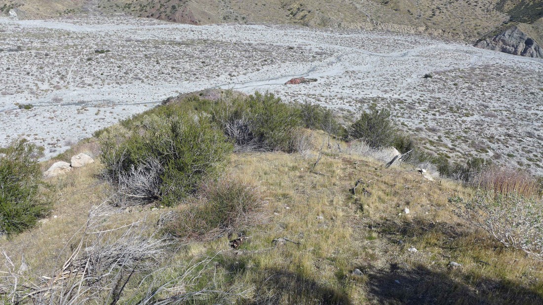
I mentioned Red Dome near the beginning of the photo set... well, there it is out in the middle of the canyon... so I will head down to it from Forks Benchmark.
|
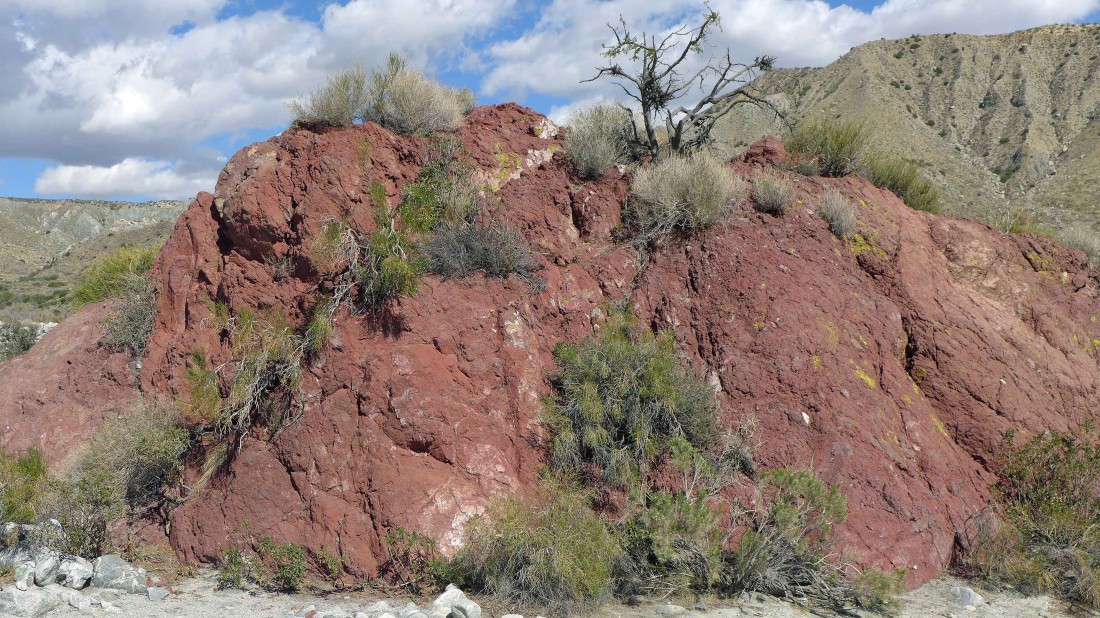
Red Dome in all of its glory... looks like 20 feet of elevation gain.
|
Looking up Whitewater Canyon from the top of Red Dome.
|
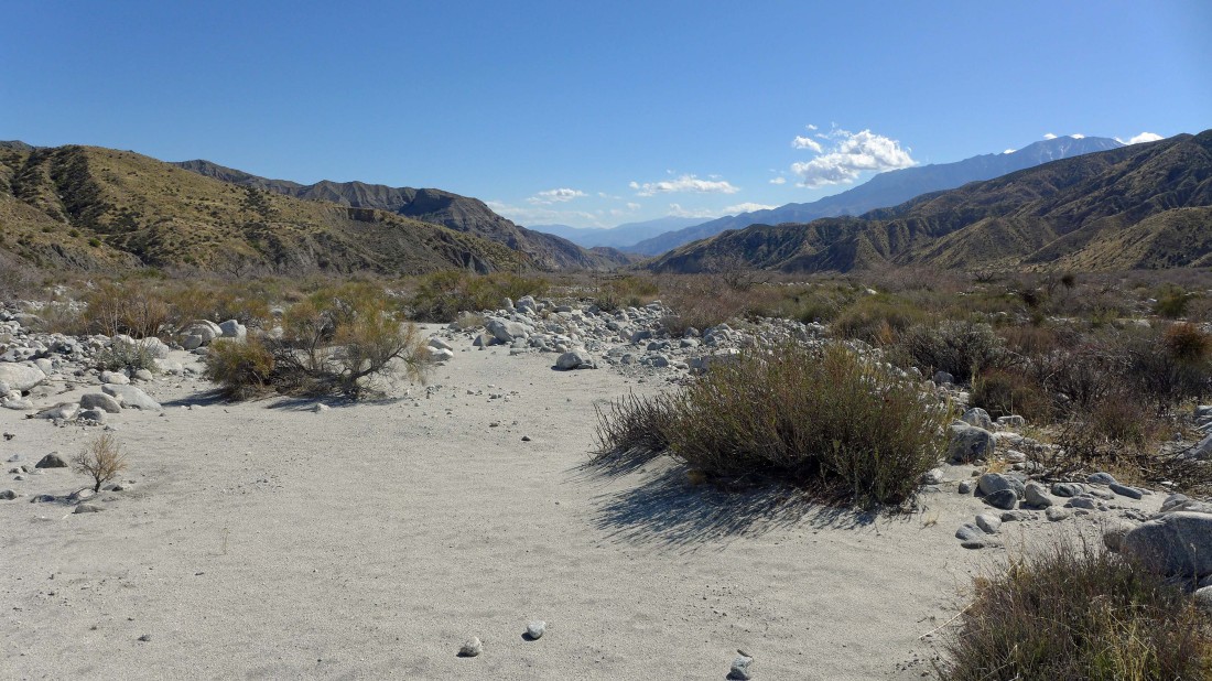
Heading back down the canyon to the parking area.
|
Looking back at my ridge route to Nob Peak.
|

Recrossing the Whitewater River... less than a half-mile to get back to the car... the trip was 7.6 miles of hiking, gaining 2266 feet of elevation.
|
