Mary Peak - 2.25.2018
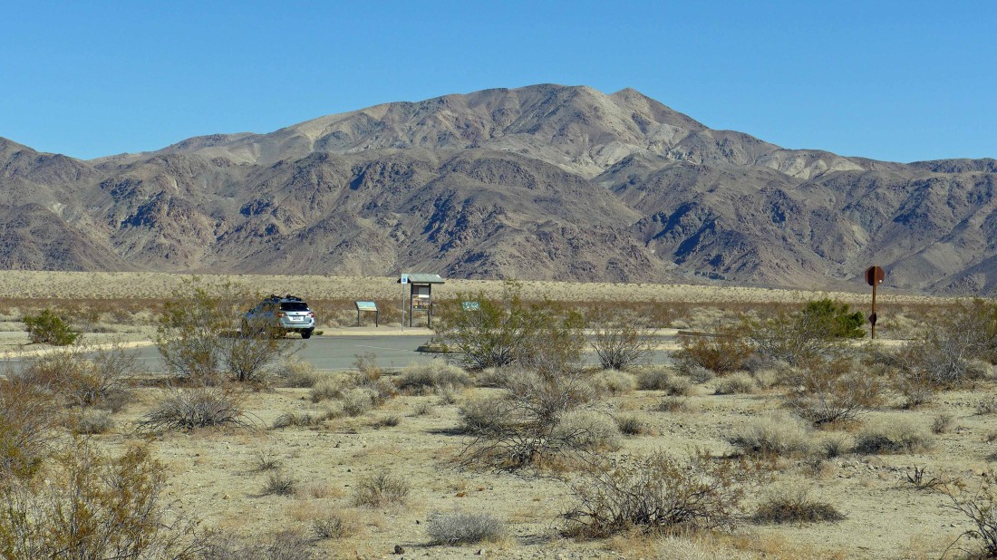
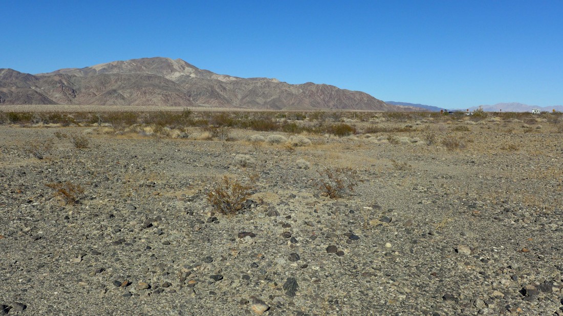
I parked at the Turkey Flats kiosk in Pinto Basin of Joshua Tree National Park... here I have crossed the road and looking back where I parked... with Pinto Mountain in the distance.
|
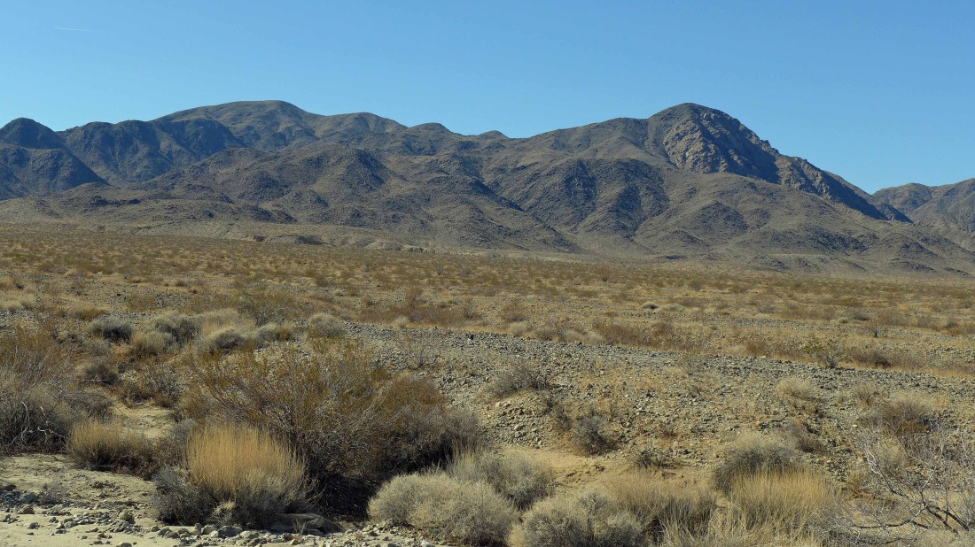
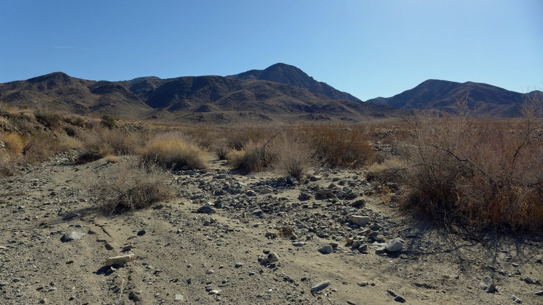
Heading for Mary Peak on the right... it will be a 1.5 mile cross country desert hike to reach the Hexie Mountains.
|
Nearing the foothills.
|

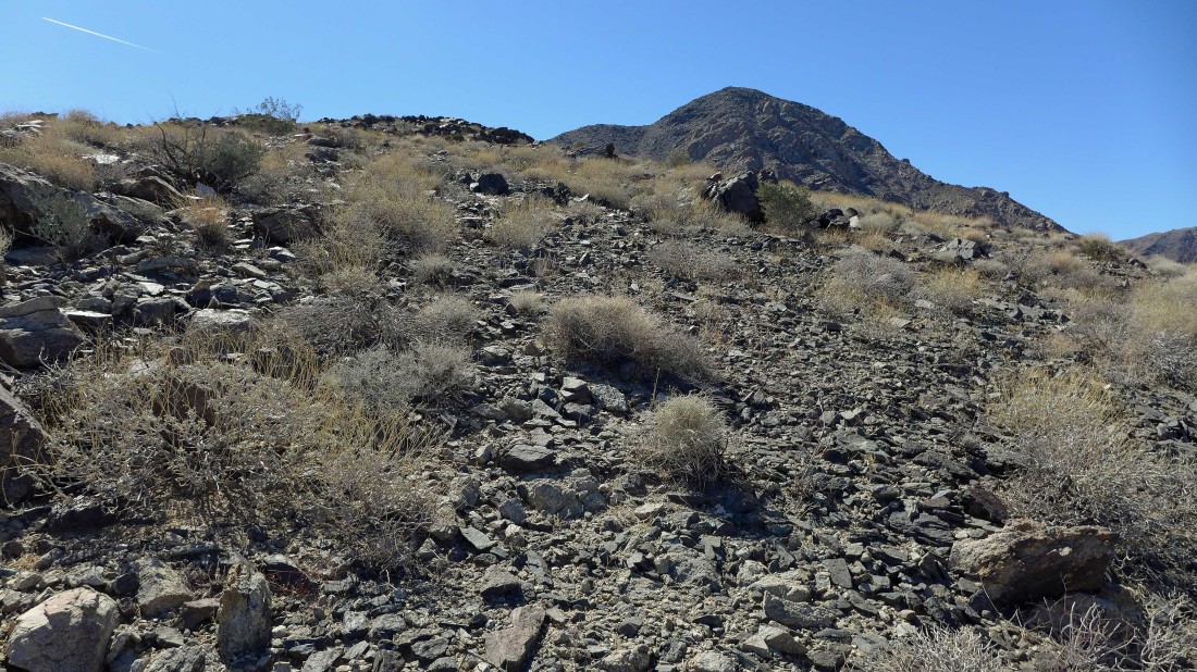
Starting to gain elevation in the Hexie Mountains... looking back at Pinto Mountain.
|
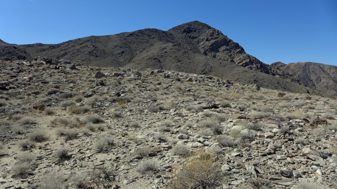
Broader views with every step higher.
|
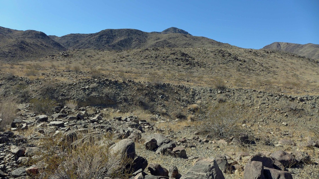
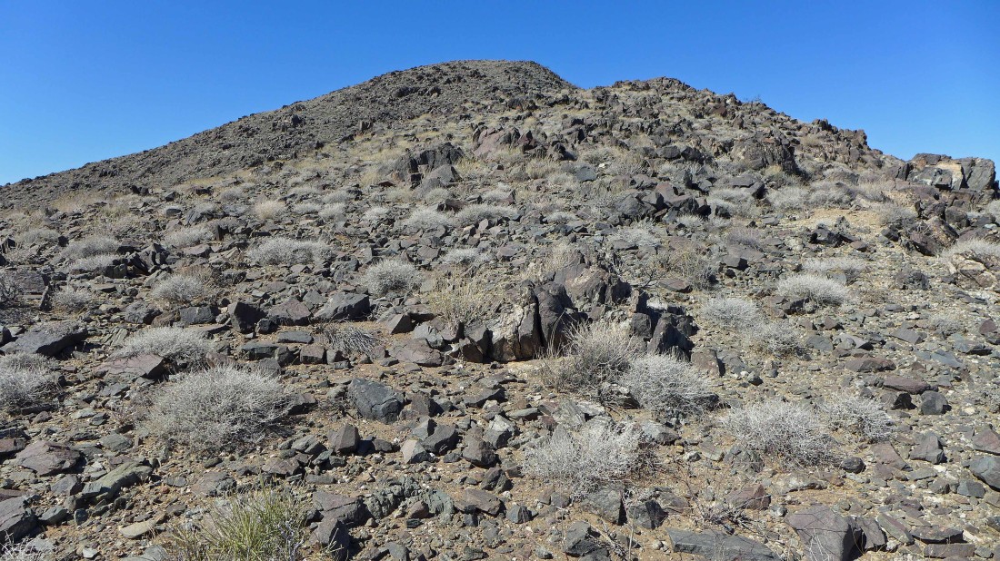
Tons and tons of loose rock.
|

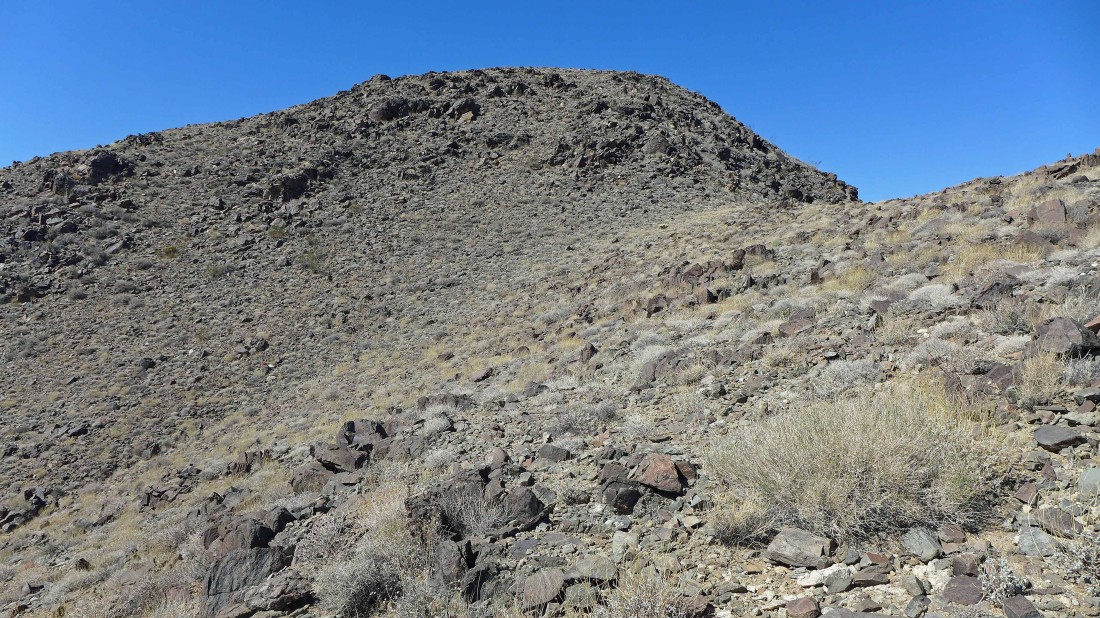
I didn't see this coming... the photo does not do the terrain justice... there is a huge drop off here down into a gully... and I am not going down there and then back up... I'm done for the day unless I can find a better route.
|

I went up a little higher and it looks like there is a reasonable route to continue without having to give up much elevation.
|
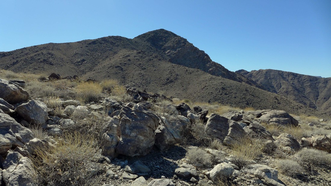
I'm trying to reach the ridge on the left horizon.
|

Looks like I have my route.
|
On the ridge and heading for Mary Peak.
|
A piece of cake now!
|
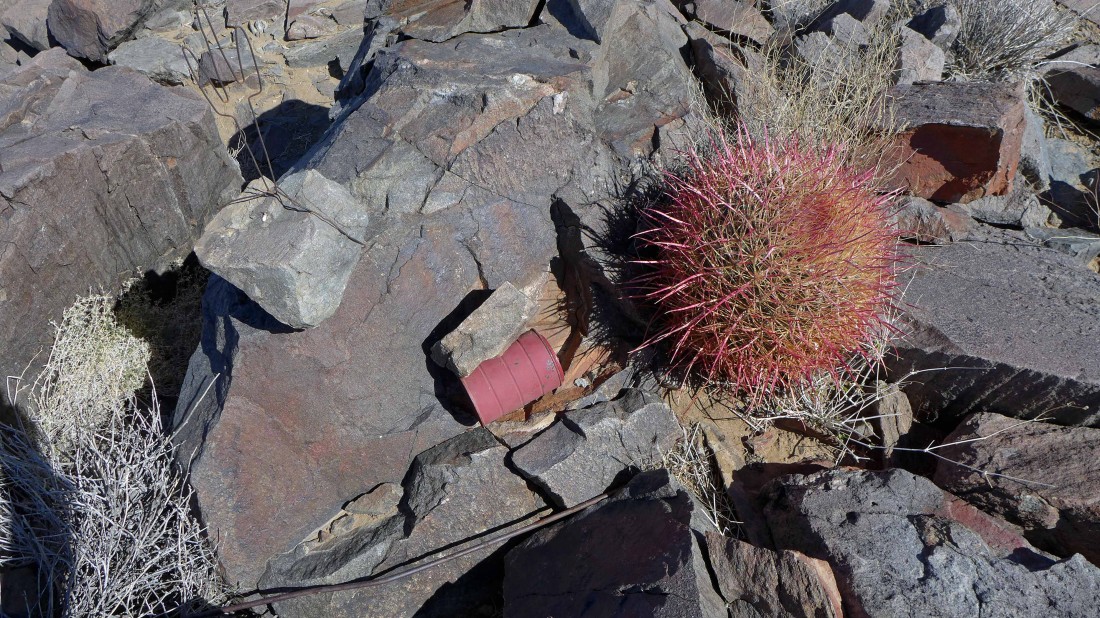
There was a summit register... 6 entries so far this year... pay attention to that barrel cactus guarding the register.
|
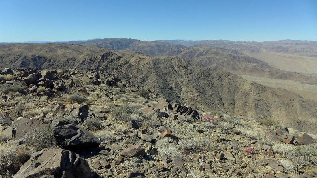
Looking NW from the summit across part of the Hexie Mountains and the Little San Bernardino Mountains... I can barely make out San Jacinto Peak and San Gorgonio Mountain on the horizon.
|
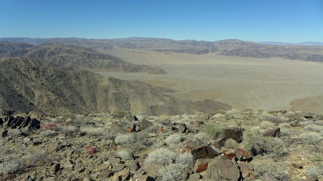
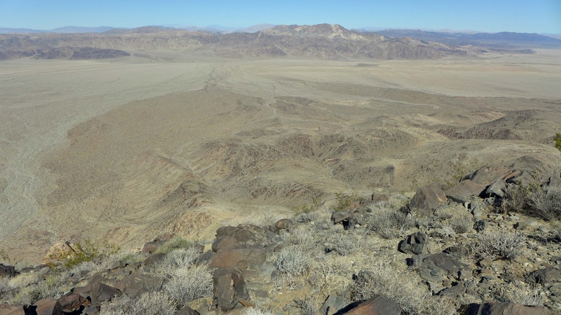
Looking across Fried Liver Wash to the west end of Pinto Basin where the park road comes down through Wilson Canyon to the basin.
|
Looking north across Pinto Basin to Pinto Mountain.
|
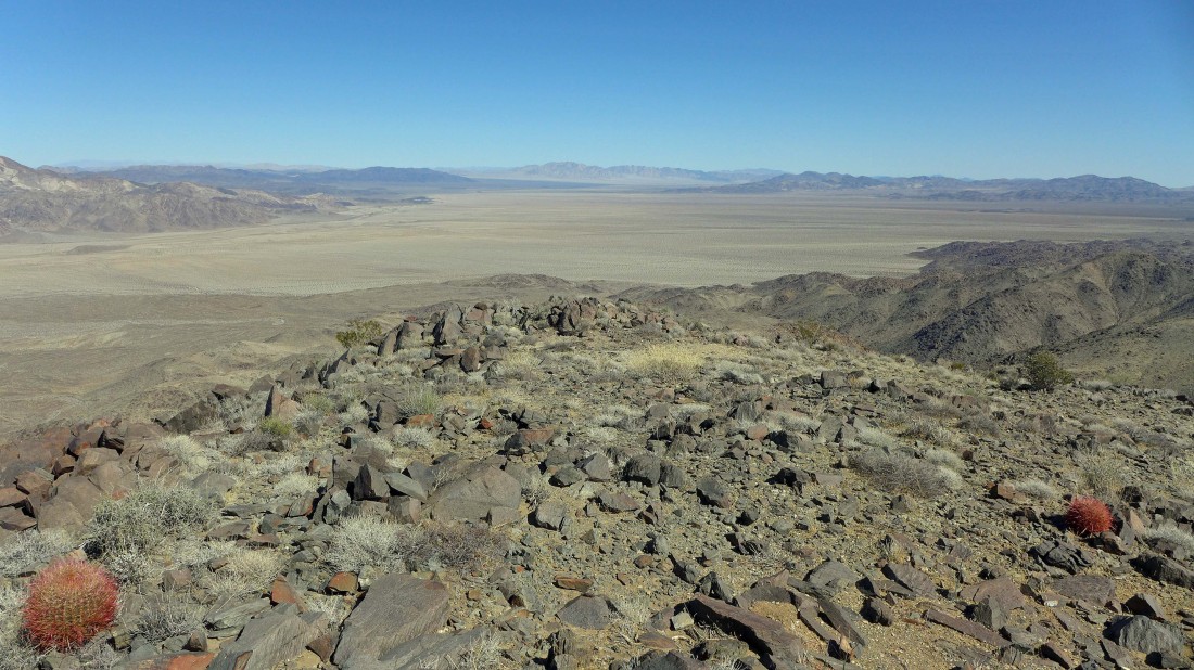
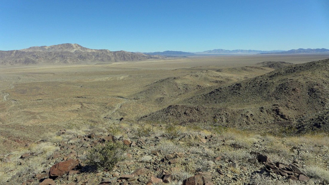
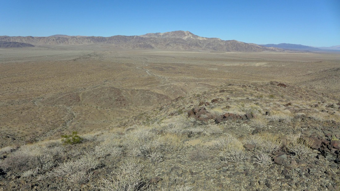
Looking NE across the massive Pinto Basin to mountain ranges with which I am totally unfamiliar.
|

At 3820 feet, the Mary Peak summit area is very roomy.
|
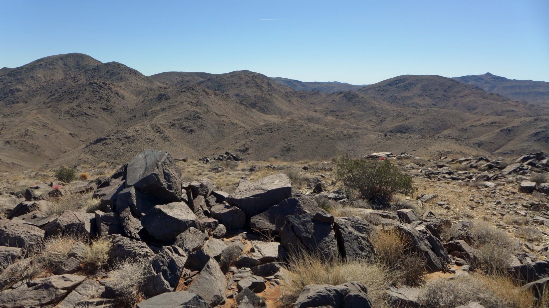
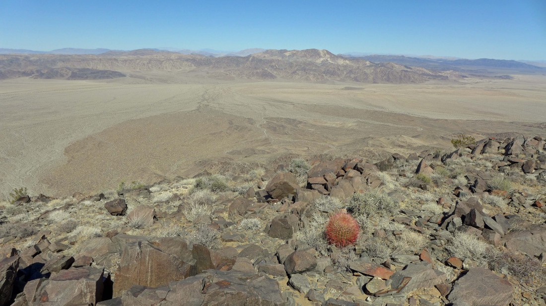
Looking south across the Hexie Mountains to Monument Mountain (the little pyramid) on the far right horizon... Point 4251 is only two miles away on the far left... but I'm too tired to go for it today.
|
The north face of Mary Peak is very steep... here I am looking over the edge from the summit area... I can pretty much see the entire route I used to get up here... there were lots of ups and downs along the way.
|
Looking back as I head down.
|
Working my way back down to the desert floor... crossing the desert floor earlier in the day was kind of a pain in the butt... but from here I can see a gray colored wash snaking its way along the desert floor in the direction of Pinto Mountain... I think I will try it on the way back to the car.
|

I found the wash... and was able to use it for more than a mile on the way back to the car.
|
Looking back at Mary Peak as I continue using the wash on the way back to the car.
|
Nearing my car on the far right of the photo... the hike/scramble was 7.1 miles, gaining 2272 feet of elevation.
|
