Point 4493 (Cottonwood Mountains High Point) - 2.27.2018
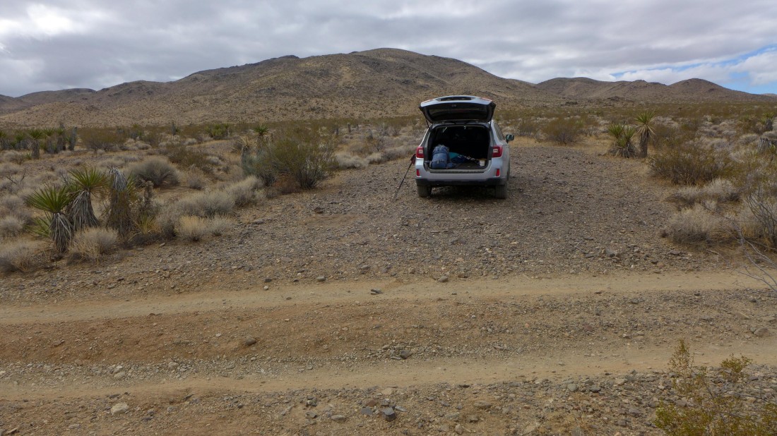
Just before reaching the south entrance visitor center to Joshua Tree National Park, turn left and drive 4.3 miles into Pinkham Canyon and park where you can find a reasonable place to get off of the road... a high clearance vehicle is a good idea.
|

Hiking across the desert floor... here looking back toward the visitor center and the Eagle Mountains.
|
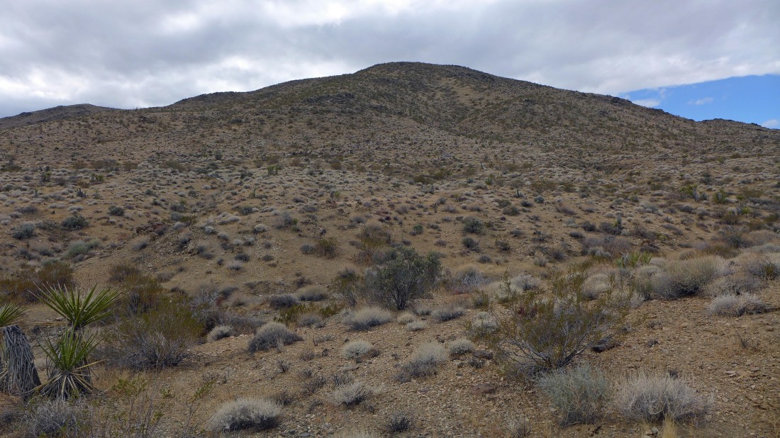
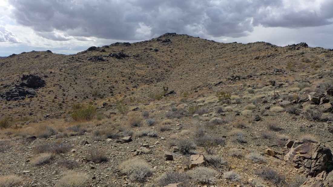
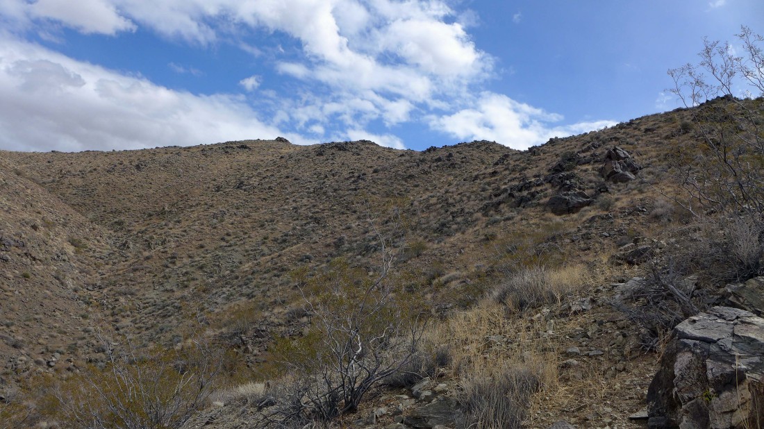
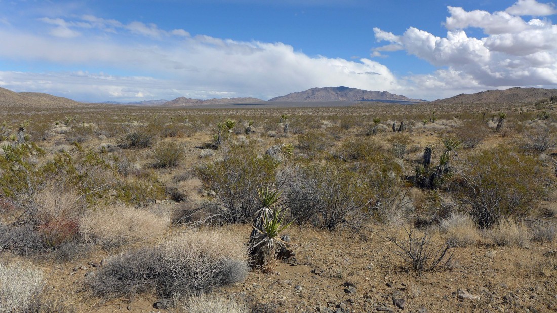
The Cottonwood Mountains high point is up there somewhere.
|
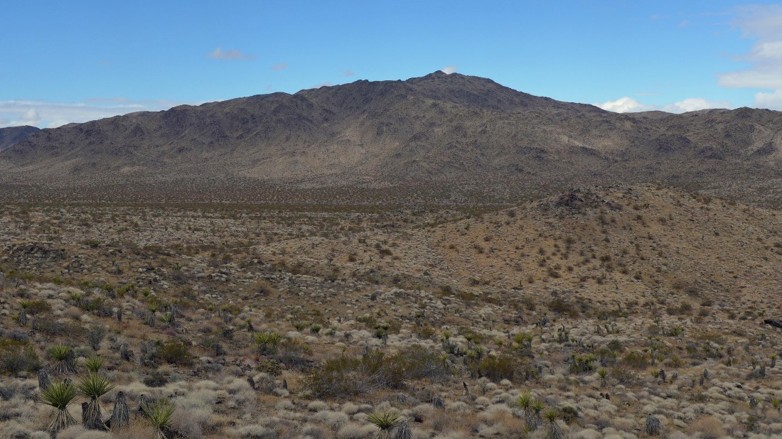
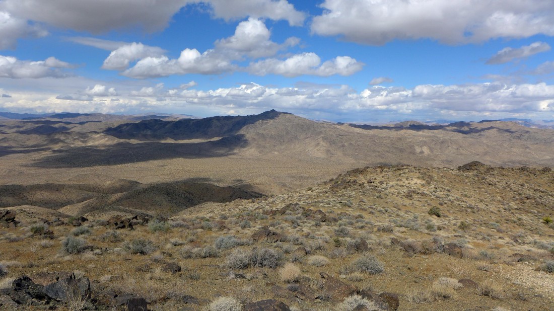
As I gain elevation I'm looking back across Pinkham Canyon to Monument Mountain in the Hexie Mountains.
|

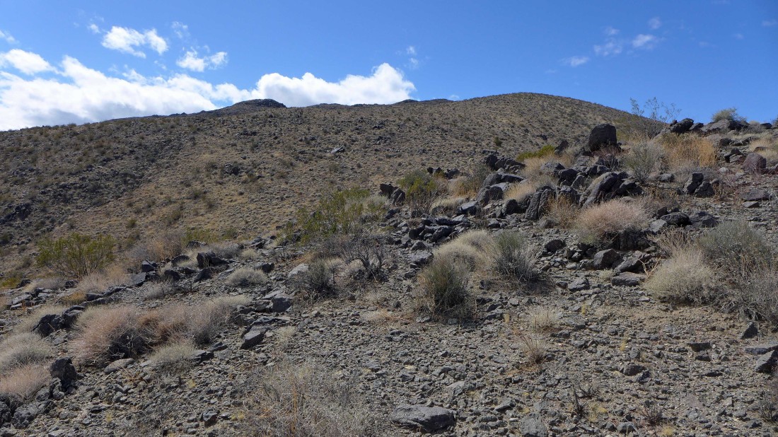
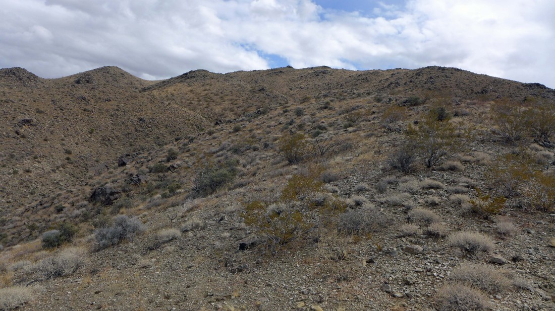
Gaining elevation on fairly easy terrain... but there isn't a trail or path.
|
Looking back across Pinkham Canyon at Monument Mountain.
|

Hedgehog cacti.
|
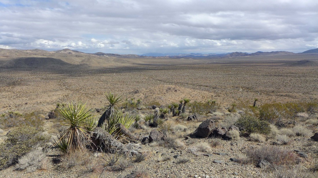
Looking NE down Pinkham Canyon to the Eagle Mountains on the right and Hexie Mountains on the left... with Pinto Basin far away in the center of the photo.
|
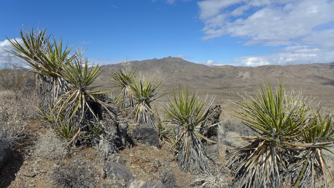
Monument Mountain is beyond the Yucca cacti.
|
Continuing higher... still no idea where the high point is.
|
Looking west across the Little San Bernardino Mountains to the cloud covered San Jacinto Mountains.
|
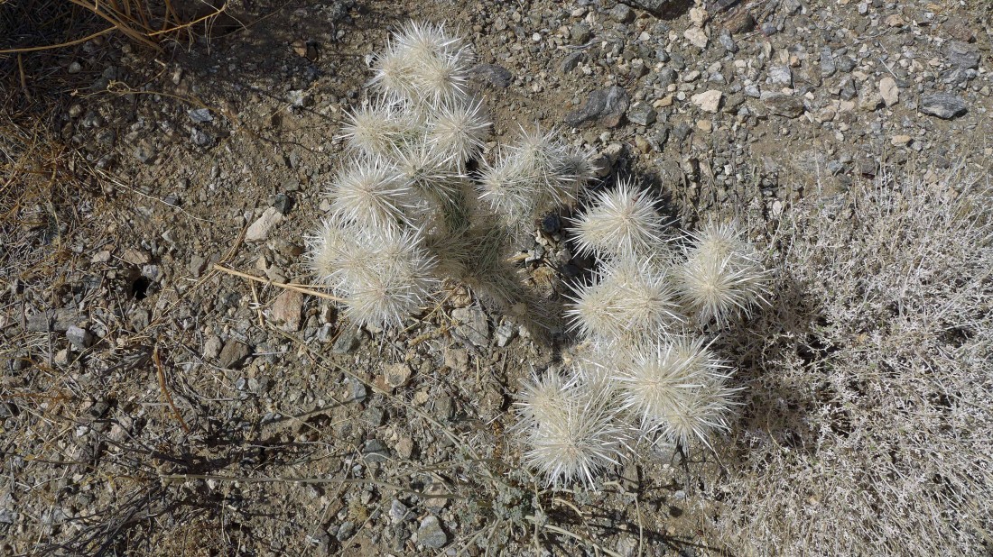
Cholla cacti.
|
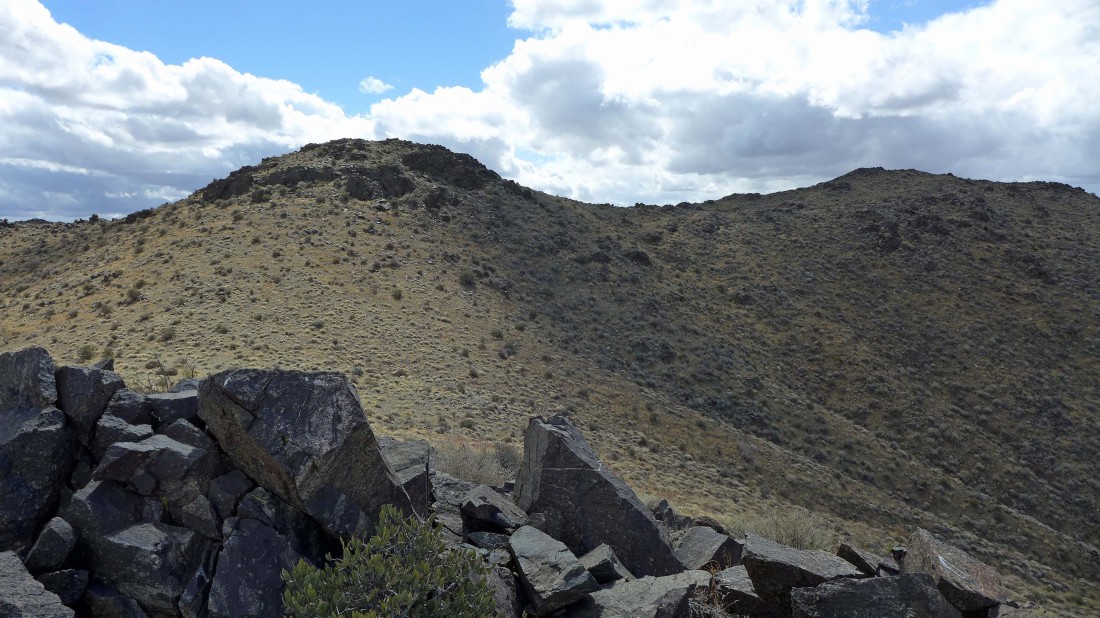
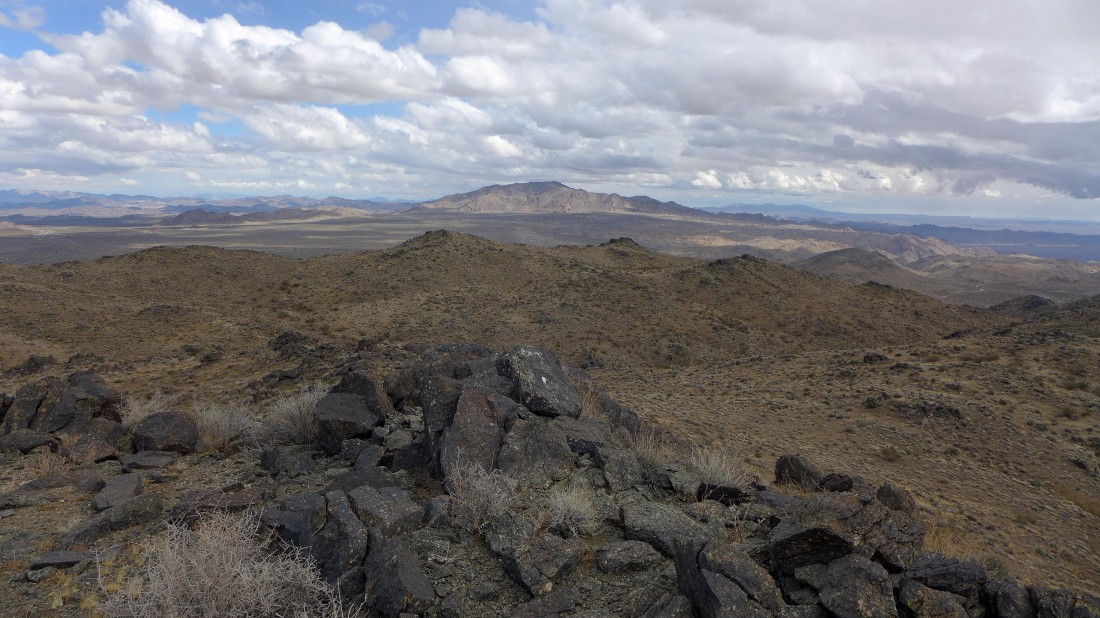
The Cottonwood Mountains high point is up there on the right.
|
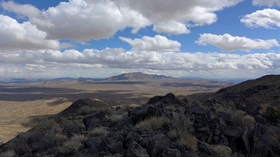
Almost on the high point... looking east to the Eagle Mountains.
|
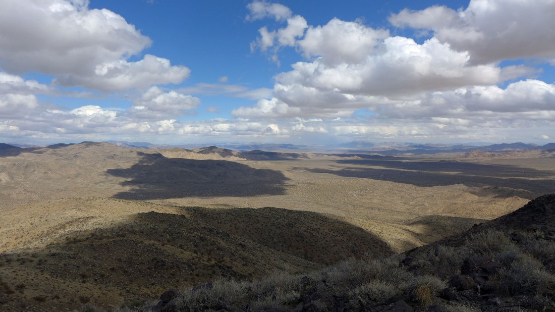
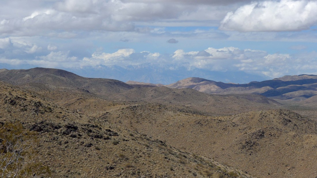
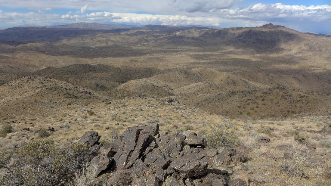
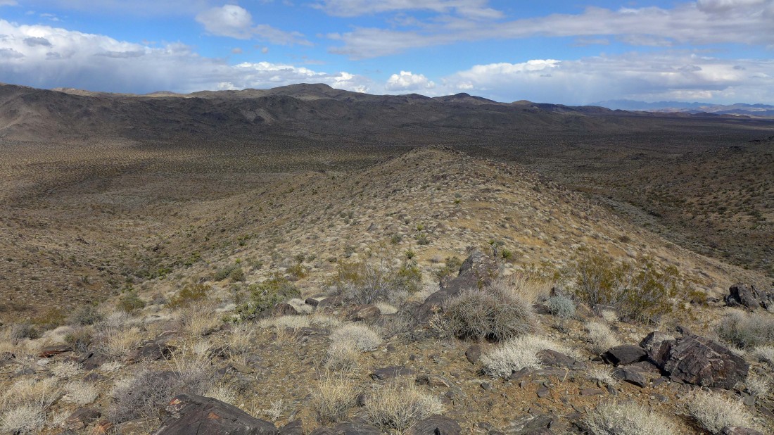
Looking NE across Smoke Tree Wash toward Pinto Basin.
|
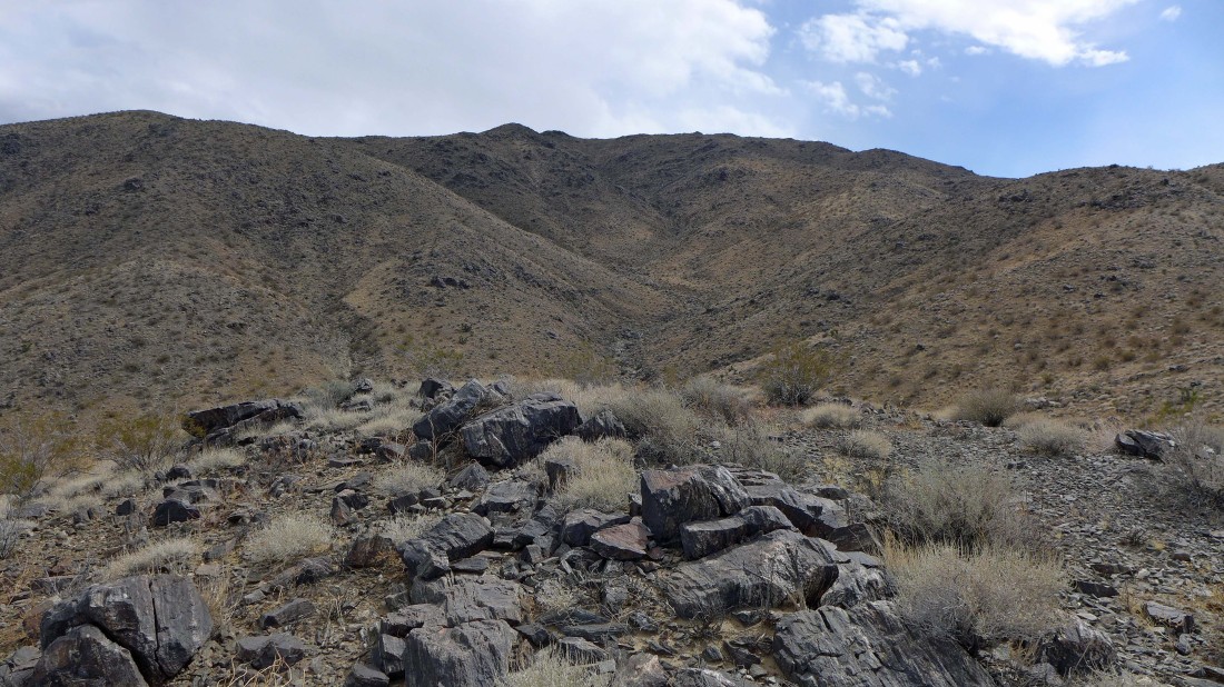
Destination is ahead.
|

Looking SW toward the Santa Rosa Mountains on the horizon.
|
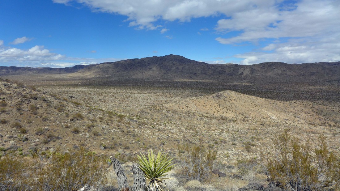
Looking north across Pinkham Canyon to Mounument Mountain.
|

Looking SW toward the Salton Sea.
|

The Sierra Club placed this summit register in 1978.
|

There was also a scrap of paper placed in 1963.
|

The summit register container... sit the jar upright... then place the tin can over it.
|
Looking toward the south entrance visitor center and the Eagle Mountains.
|
I'm going to make a loop out of the hike... using the ridge below to get back down to the desert floor.
|
Heading down and looking back at the high point.
|
Heading down and looking back... I went up via the ridge on the left.
|
Almost back down on the desert floor.
|
I went up using the ridge on the left... and came down via the ridge on the right.
|
Back on the desert floor... heading for the car and looking east to the Eagle Mountains.
|
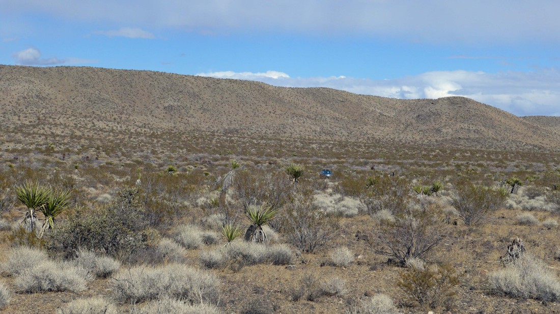
Nearing my car... the hike/scramble loop was 4.3 miles, gaining 1455 feet of elevation.
|
