Eagle Mountain - 3.4.2018
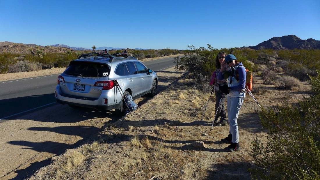
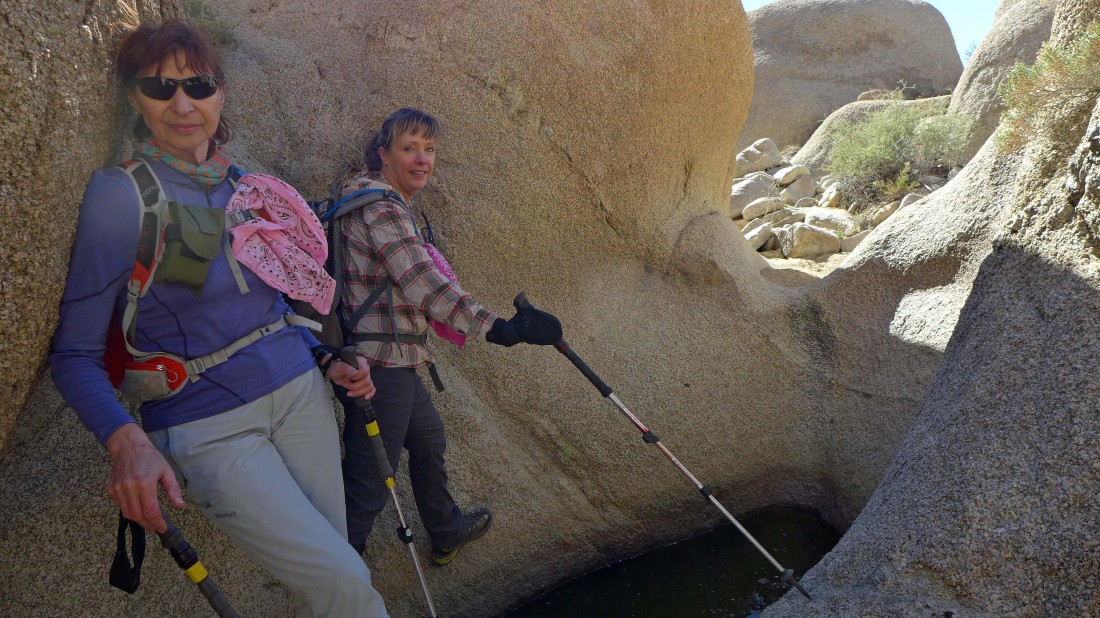
We drove 2.5 miles beyond the Cottonwood entrance visitor center in Joshua Tree National Park and parked along side Pinto Basin Road.
|

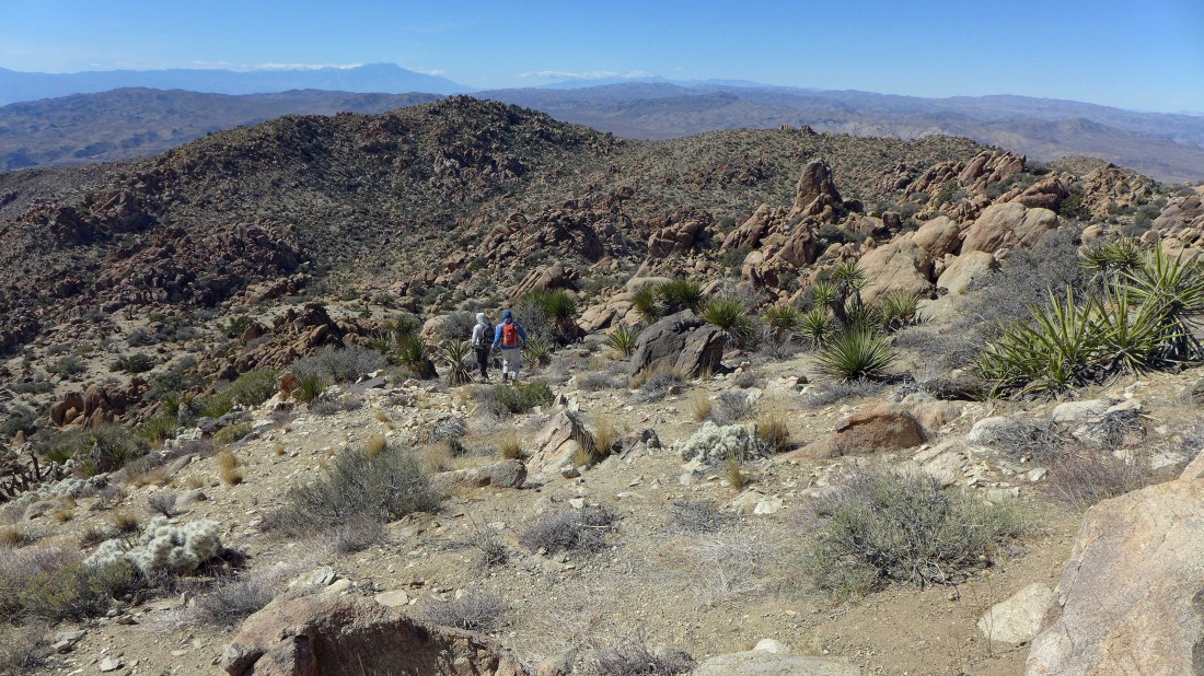
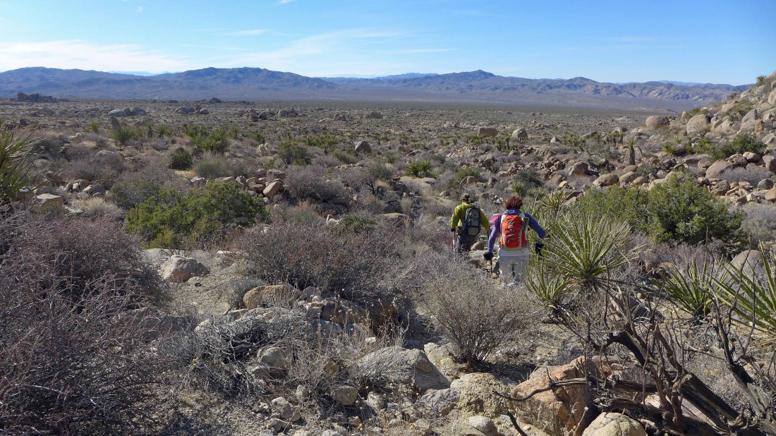
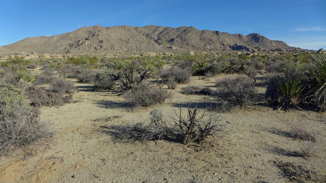
Hiking SE toward the Eagle Mountains.
|
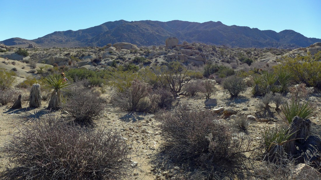
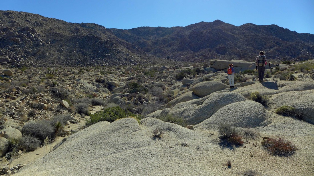
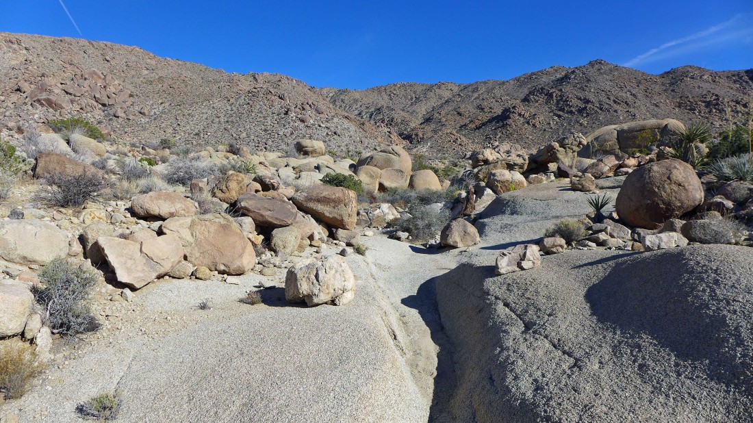
After hiking a mile or so across the desert floor we started to find nice rock formations.
|
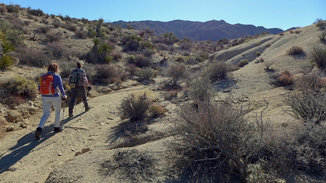
We took advantage of washes when they were going in the direction of interest.
|
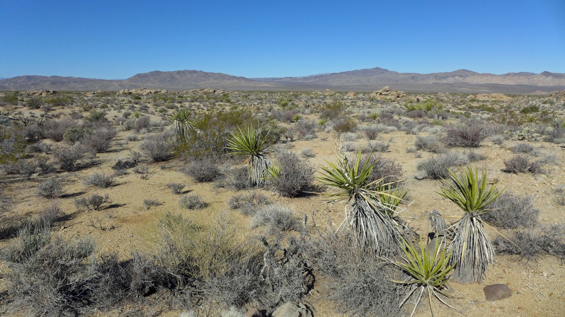
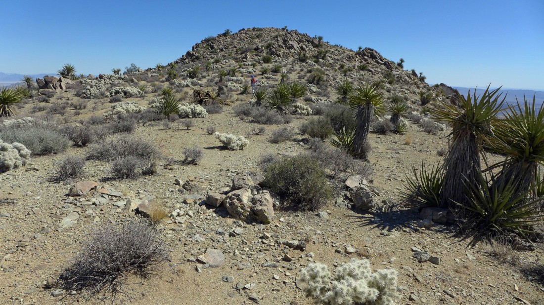
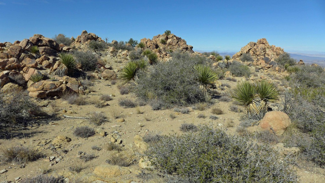
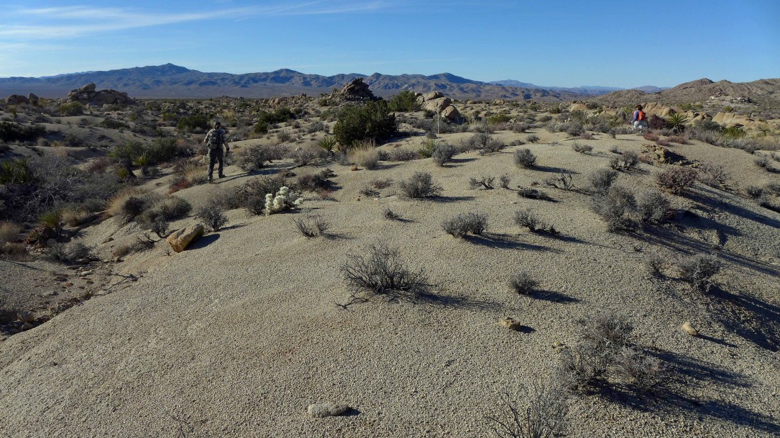
Little rolling mounds on our way to Eagle Mountain.
|
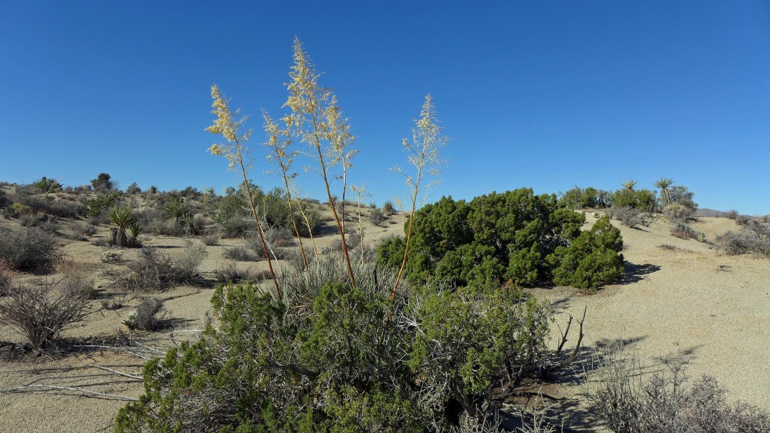
Spent blooms of a Mojave Yucca.
|
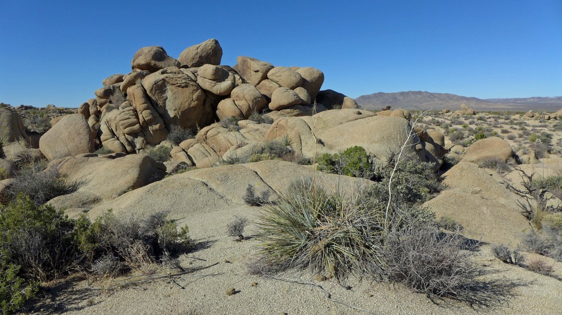
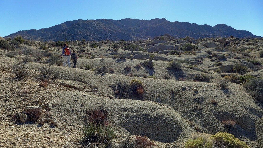
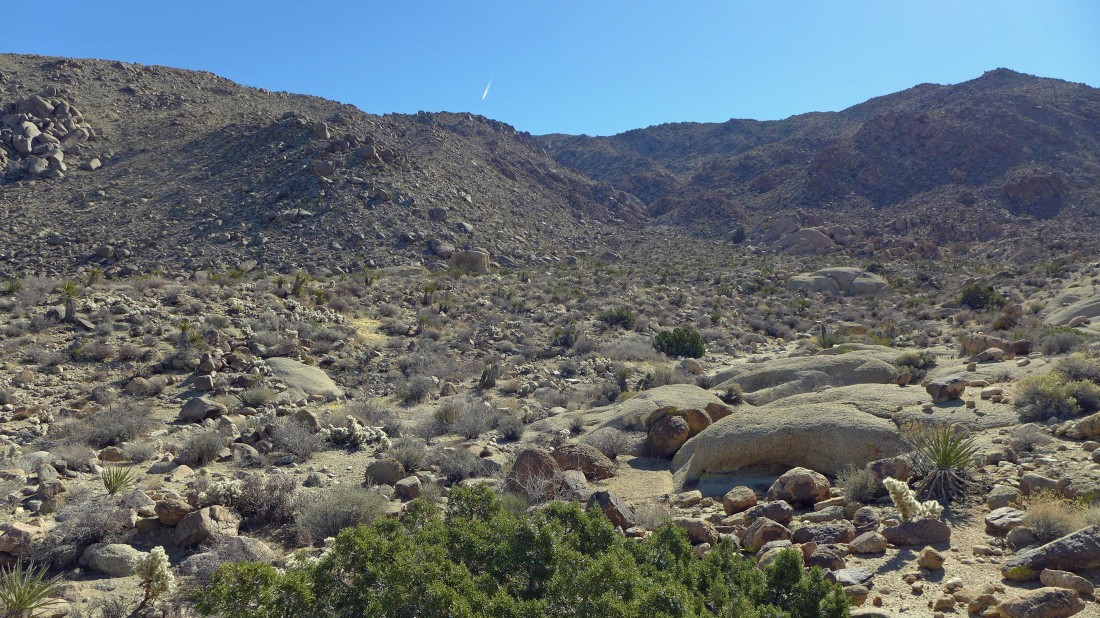
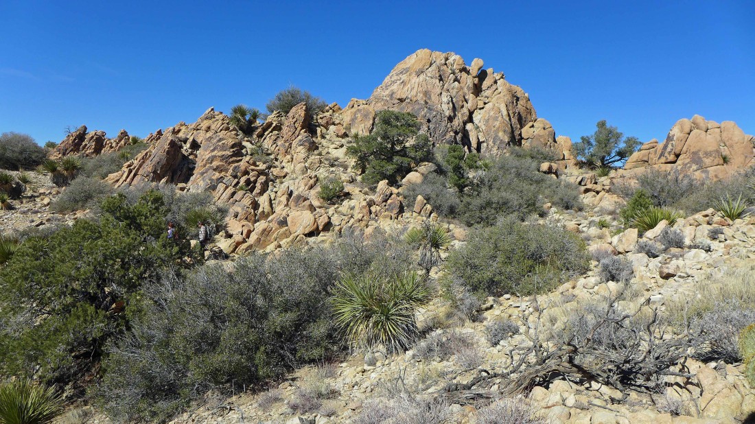
Lots and lots of interesting rock formations... with the Cottonwood Mountains in the distance on the right.
|
Looking back as we continue toward Eagle Mountain... the Cottonwood Mountains are on the left and left-center... with Monument Mountain the pyramid in the right center of the photo.
|

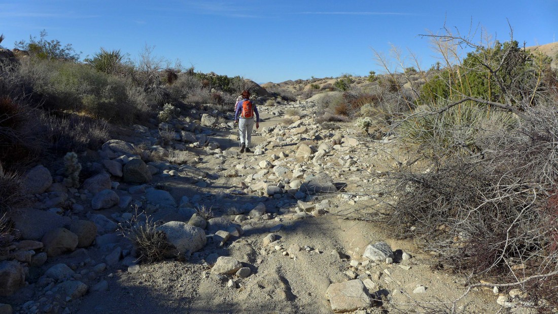
One of many washes along our route as we near the Eagle Mountains.
|
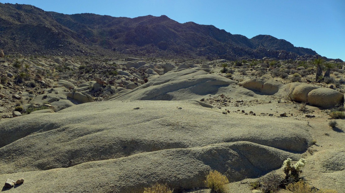
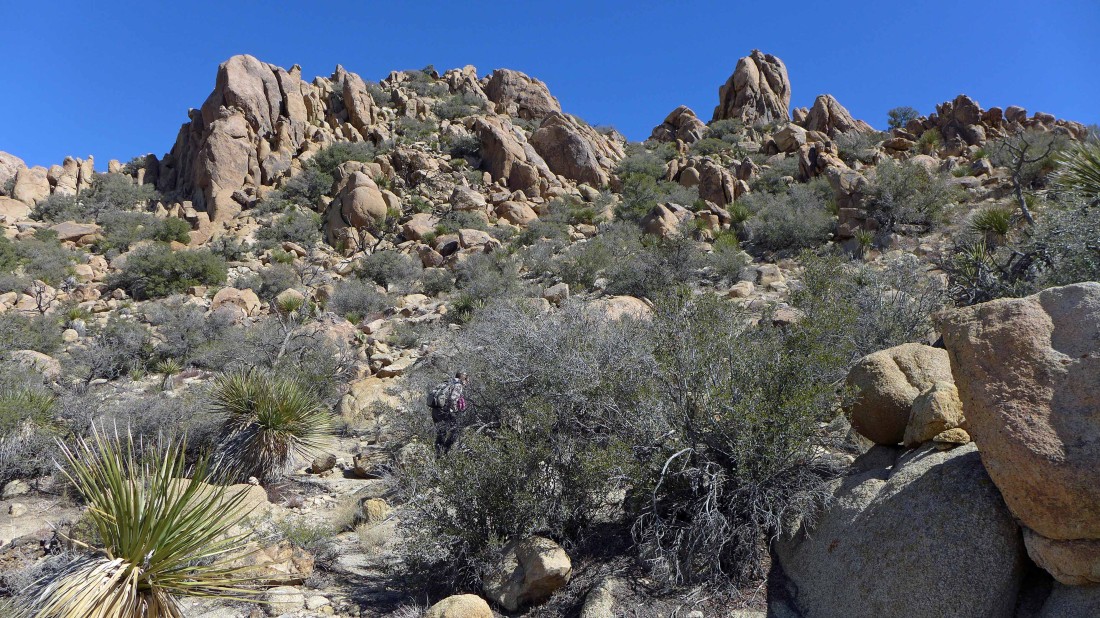
Incredible terrain.
|
We hit a dead end in this wash... will have to back track 40 feet and get out of the wash.
|
Working our way across the desert floor to where we can start going up.
|
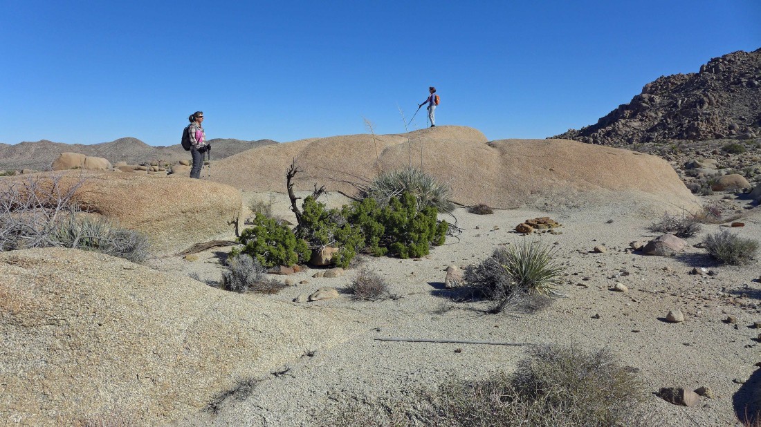
There are nice views in every direction.
|
Nearing the spot where we will start climbing... we still can't see the summit of Eagle Mountain.
|
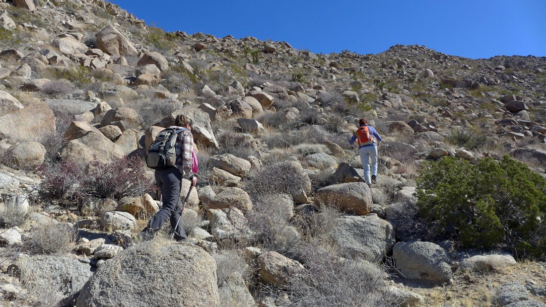
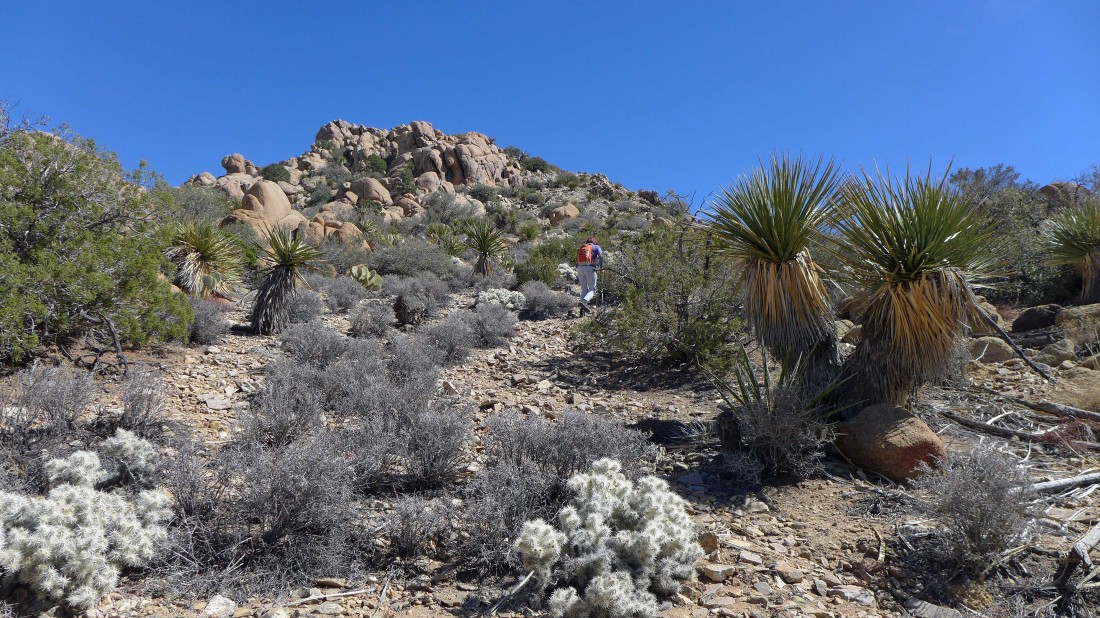
After hiking ~2.5 miles we have started to climb... every step so far is off trail.
|

Up and up.
|

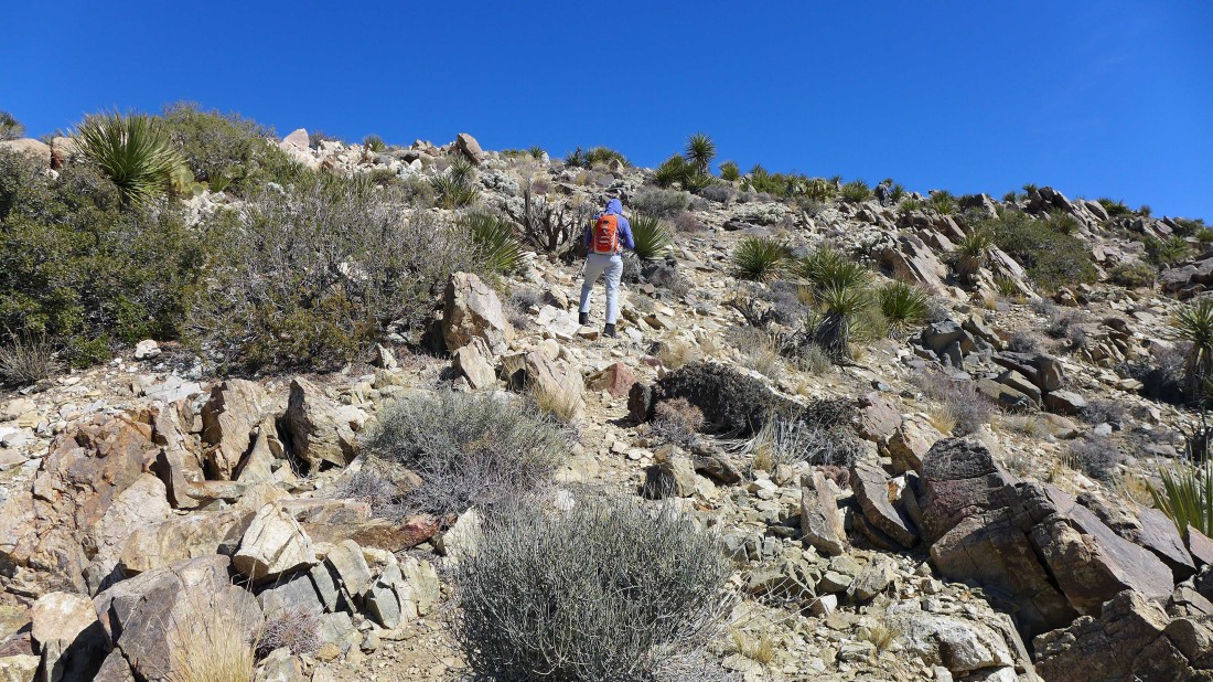
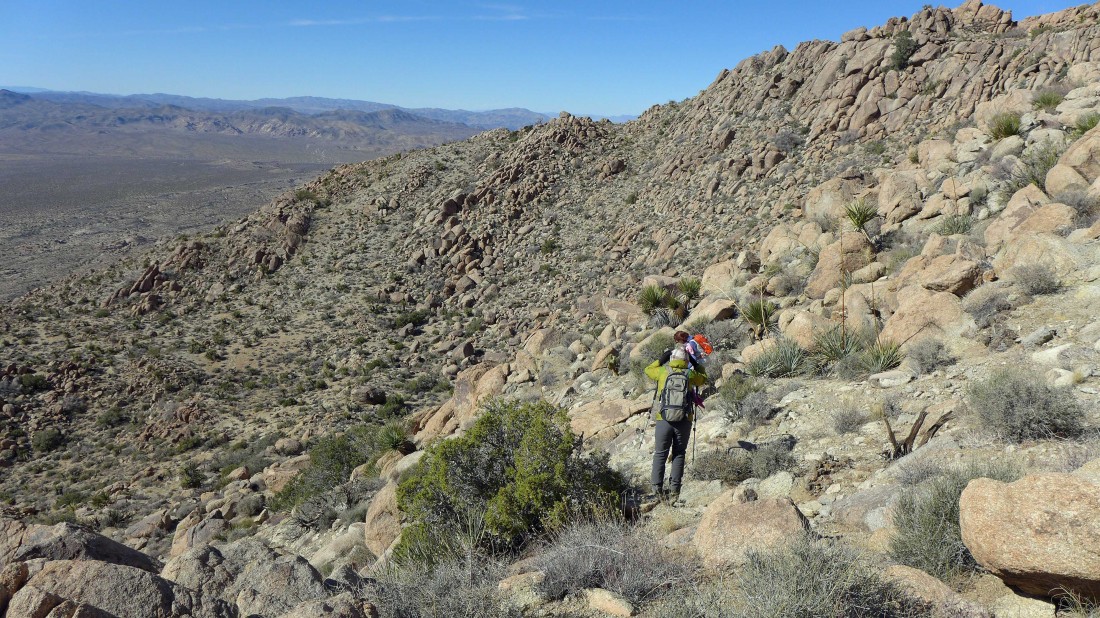
The idea is to find the easiest terrain and just keep going up along the NW ridge of Eagle Mountain.
|
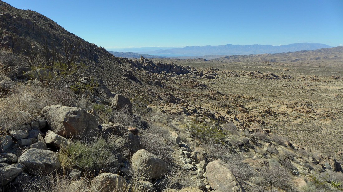
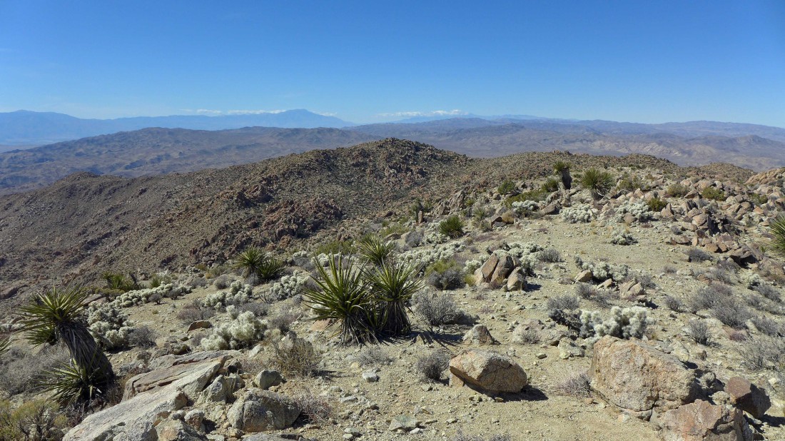
High enough to see part of the Salton Sea in the distance below the Santa Rosa Mountains on the horizon.
|

Still going up along the NW ridge of Eagle Mountain.
|
A nice little basin... we will continue higher along the right edge of the photo.
|
Continuing up.
|
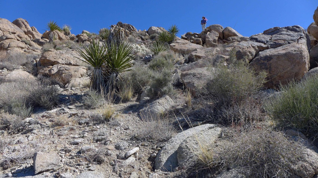
Barb has a nice view spot above.
|
Trying to reach the ridge in the distance on the right.
|
Looking back across Smoke Tree Wash and Pinkham Canyon to San Jacinto Peak and San Gorgonio Mountain on the horizon.
|
Continuing up.
|

Trying to get to 5000 feet on the ridge where we can finally see the summit.
|
Will we ever get there?
|

Still searching for the summit.
|
More up to do... maybe the summit is ahead.
|

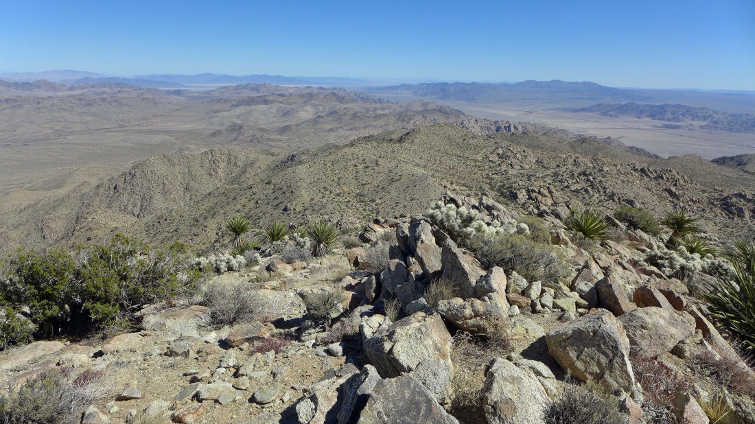
Looking back... NW across Pinto Basin to the Pinto Mountains.
|
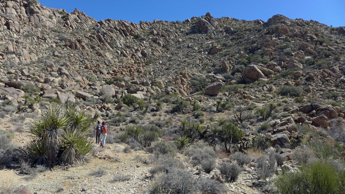
Bypassing the rock formation and heading for the ridge on the right.
|

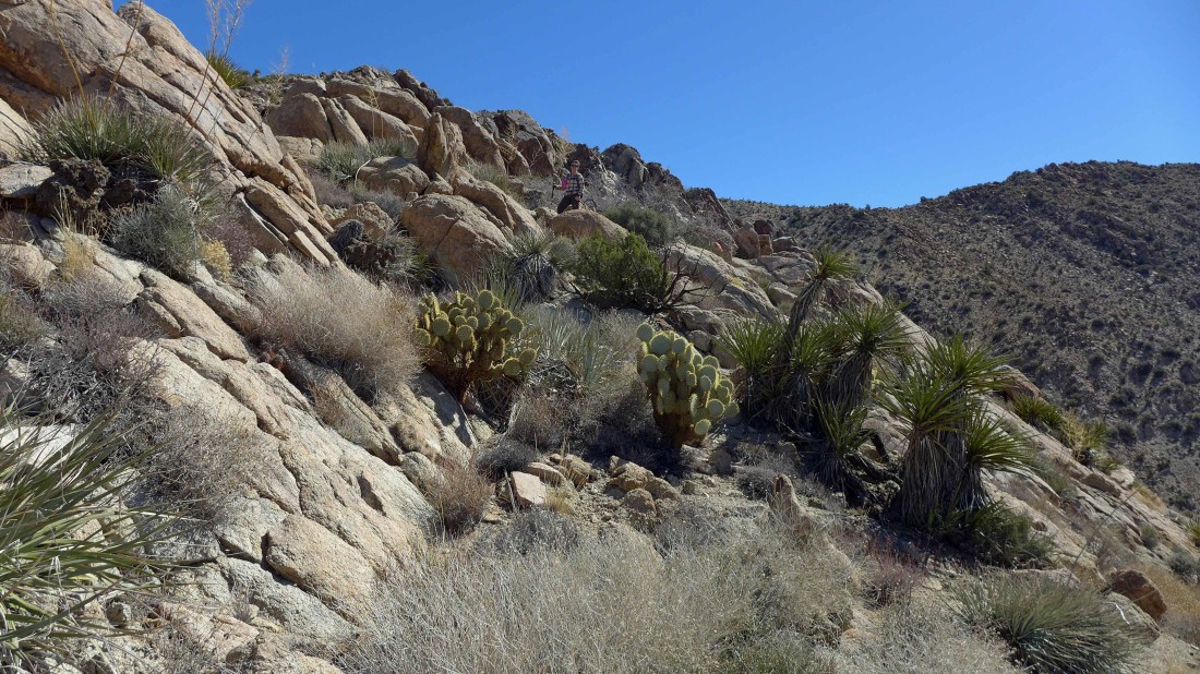
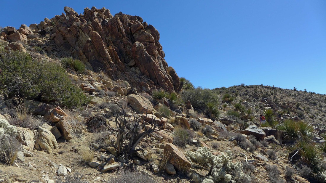
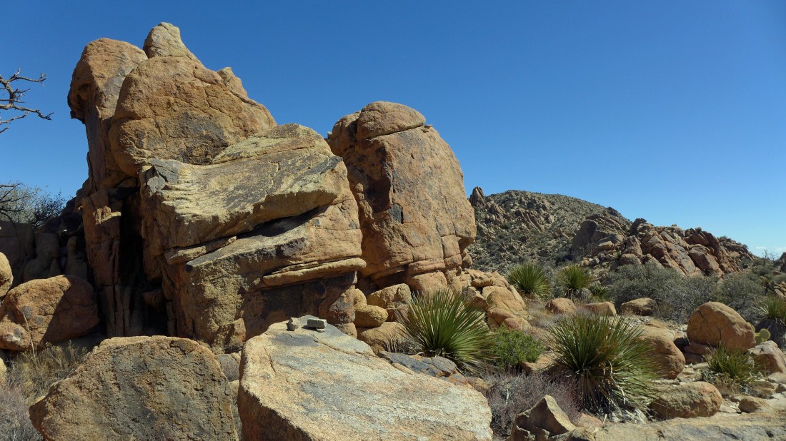
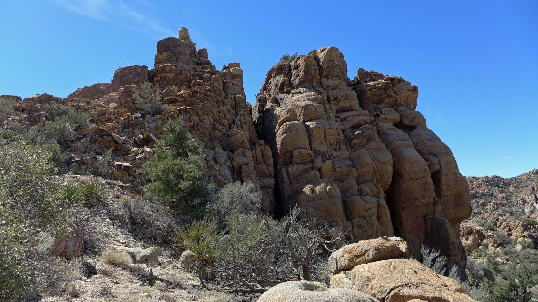
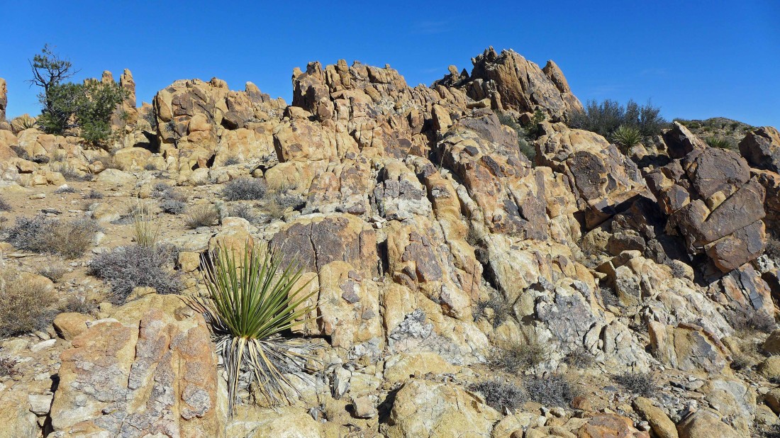
Lots of awesome rock formations along the way.
|

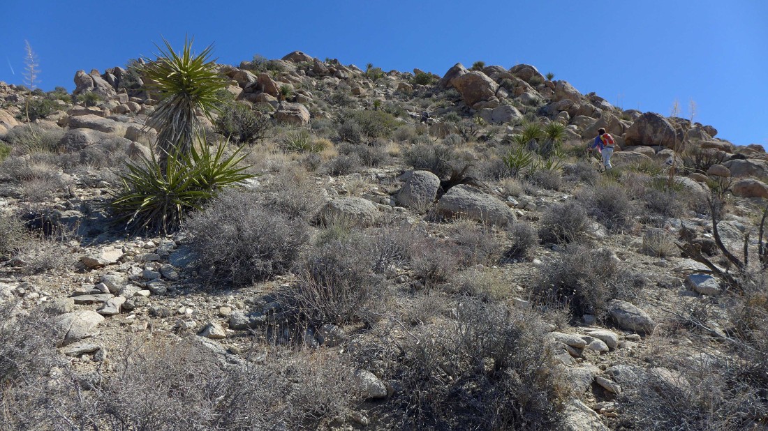
Almost to the 5000 foot point on the ridge... could that be the summit on the right... well, no it can't.
|

At 5000 feet now... and we can see the summit out there on the right... still a lot of up and down to get there.
|
The summit is out there on the right.
|

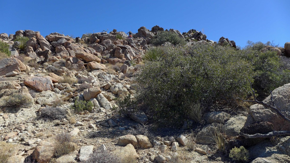
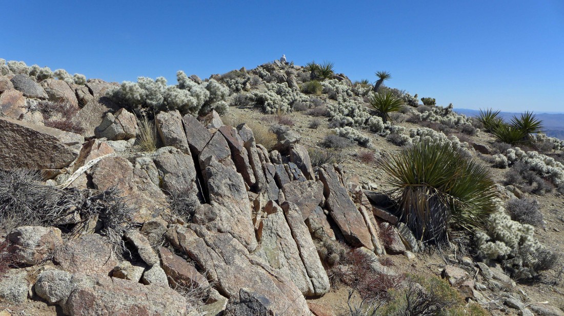
Once we got to 5000 feet the route has lots of cairns that are very helpful in working through the boulders.
|

Working our way toward the summit.
|

Working through the boulders.
|
Still working our way through the boulders.
|
More and more rock formations.
|

Through the gap.
|
On and on... up and up.
|
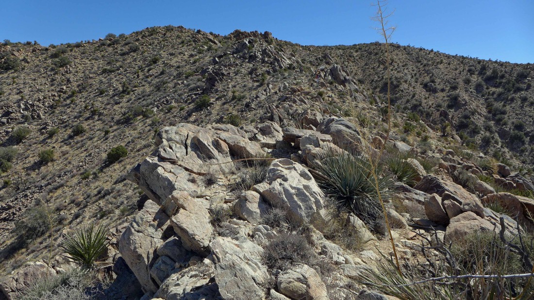
Pretty easy terrain now as we near the summit.
|

Looking back at where we crested the ridge at 5000 feet... where we had thought the summit might be the pile of rocks and boulders on the left... San Jacinto Peak (above the city of Palm Springs) is on the left horizon.
|
I think Barb is nearing the Eagle Mountain summit... or is she?
|

Oh my... still a little work to do to reach the summit.
|
Elle is sitting up there on the summit.
|
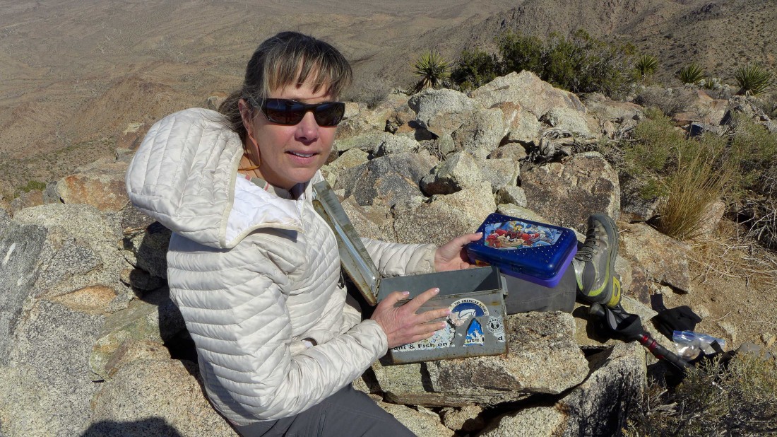
Elle put our names in the summit (5350') register... placed in 1994.
|

The benchmark was placed in 1934.
|
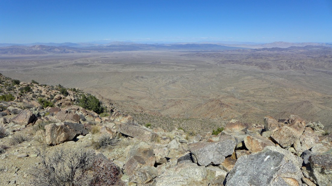
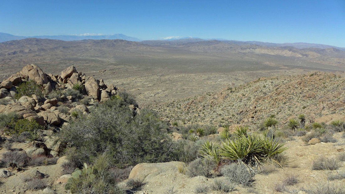
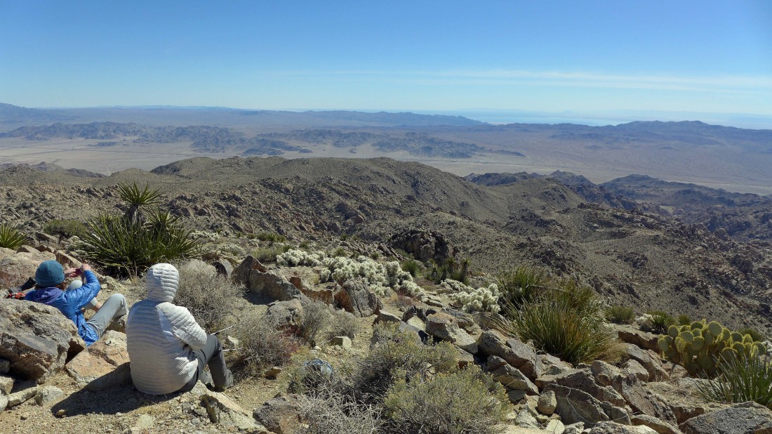
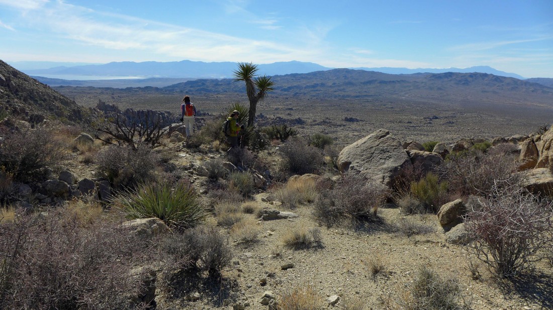
Looking across the massive Pinto Basin... Pinto Mountain is on the far left.
|
Looking NW at our approach from the 5000 foot ridge in the foreground and beyond to San Jacinto Peak and San Gorgonio Mountain on the center horizon.
|
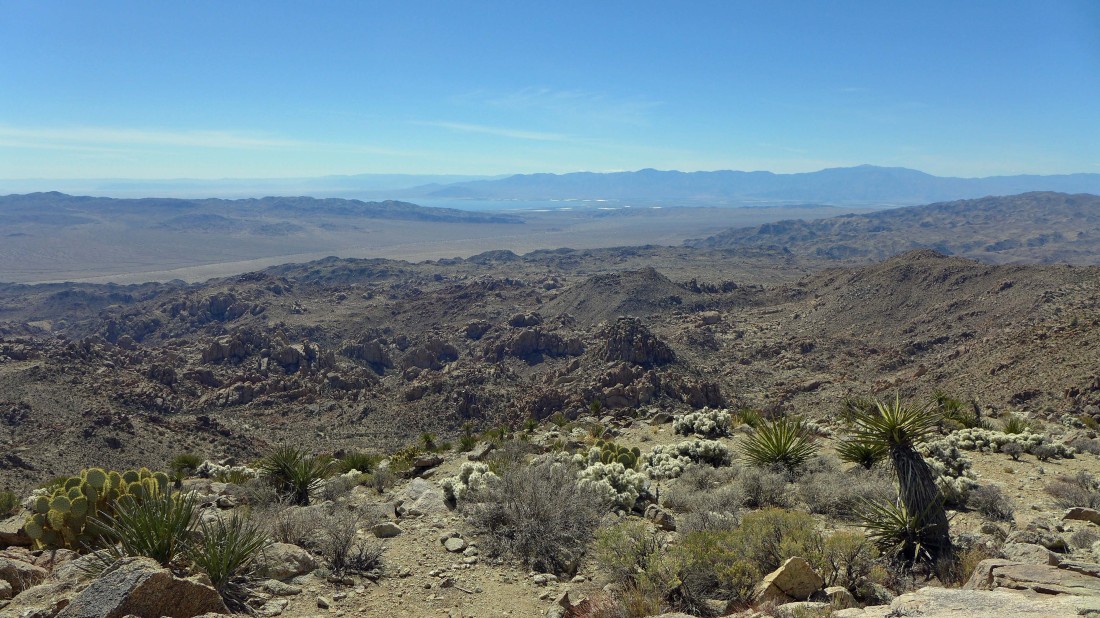
Looking SW to the Salton Sea and Santa Rosa Mountains.
|
Looking south across the Orocopia Mountains and Mecca Hills to the Salton Sea.
|
I believe we are looking SE to the Chuckwalla Valley and Chuckwalla Mountains on the right.
|
Time to trace our steps back over to where we crested the ridge at 5000 feet.
|

Heading back to our 5000 foot ridge.
|
Following the cairns back.
|
Love the variety of colors.
|
Almost ready to get into steeper terrain.
|

Heading down.
|
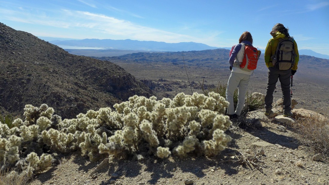
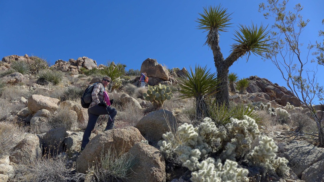
Nice look over to the Salton Sea and Santa Rosa Mountains... whatever you do, don't get up close and personal with those cholla cacti.
|
Heading down to that little basin we found on our way up.
|
Continuing down.
|
We are so ready to get off of the steep terrain and onto the desert floor.
|
Off of the steep terrain... ~2.5 miles of desert floor to get back to the car.
|

We love those washes that go in our direction of interest... the Cottonwood Mountains on the left horizon... with Monument Mountain the pyramid on the right horizon.
|
Looking back at the Eagle Mountains as we head for the car.
|
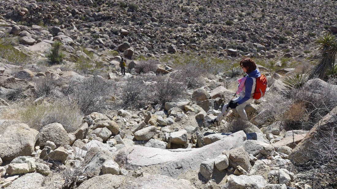
In a wash and heading for the car.
|
Monument Mountain on the left horizon... 1.5 miles from the car now.
|
Nearing our car and looking back at the Eagle Mountains... our trip was 10 miles roundtrip, gaining 2561 feet of elevation... what a day!
|
