Utah Canyon and Point 1244 - 3.6.2018
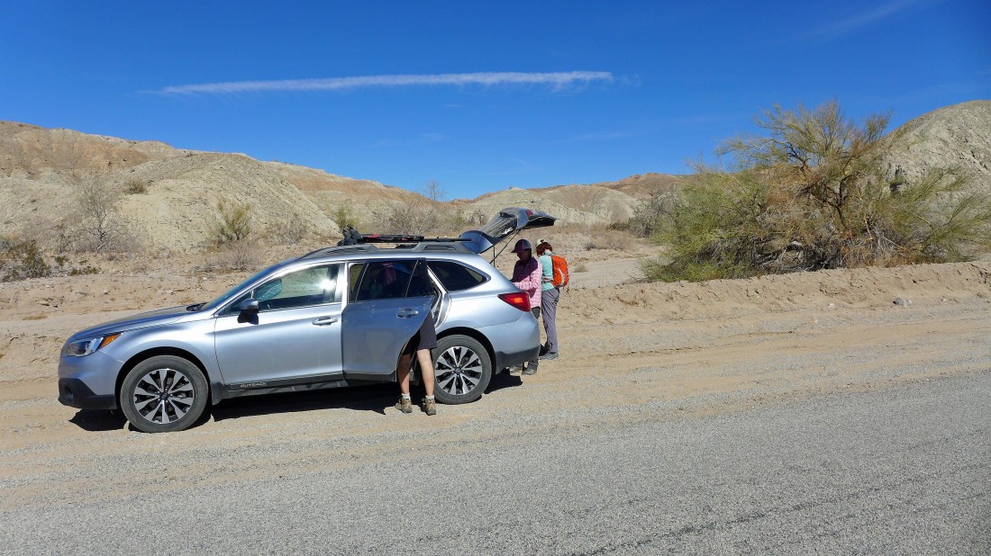
From the unincorporated community of Mecca, California... drive Box Canyon Road for 6 miles and park next to the road... the signed turnoff for the 'Sheep Hole Oasis' is 200 yards further up the road.
|
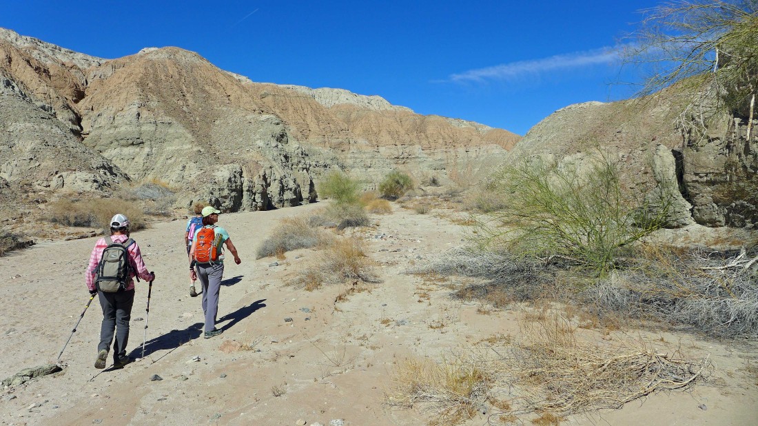
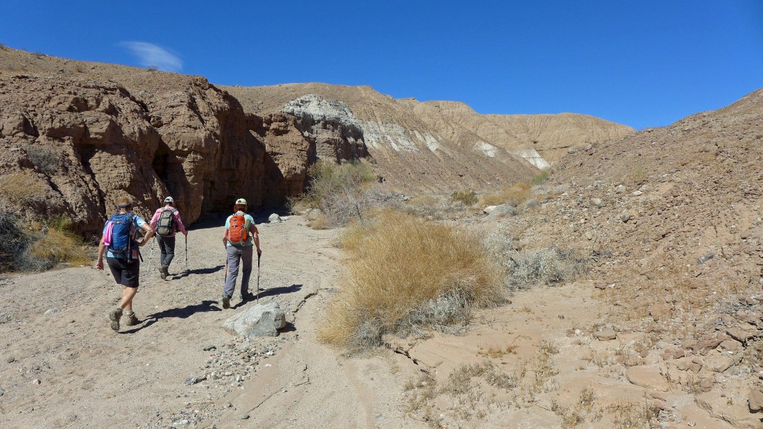
Hiking into Utah Canyon.
|
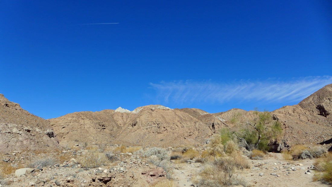
Lots of colors in Utah Canyon.
|
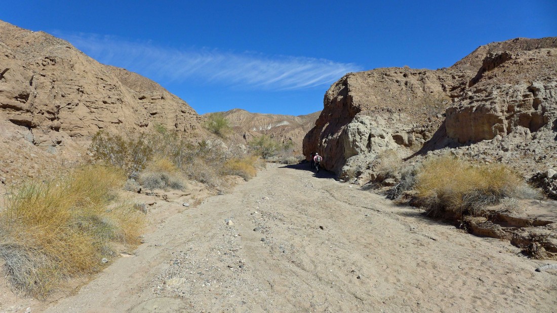
Continuing deeper into Utah Canyon.
|
Further into Utah Canyon.
|
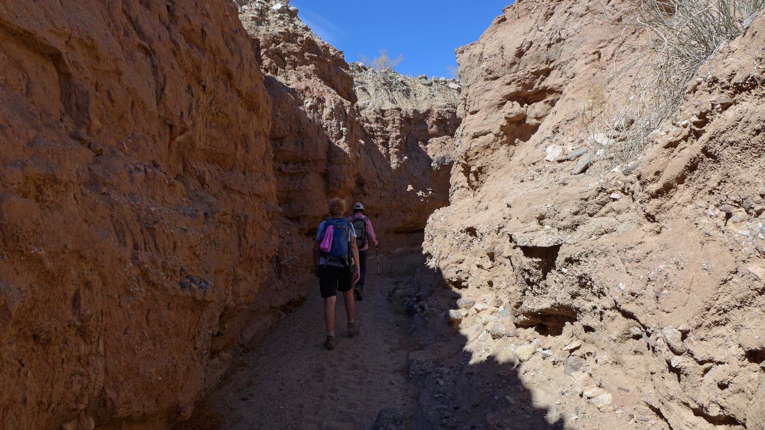
After ~1.5 miles of hiking the canyon narrows for a quarter mile or so.
|
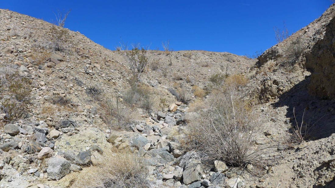
Getting ready to scramble up out of the canyon onto the ridge above.
|
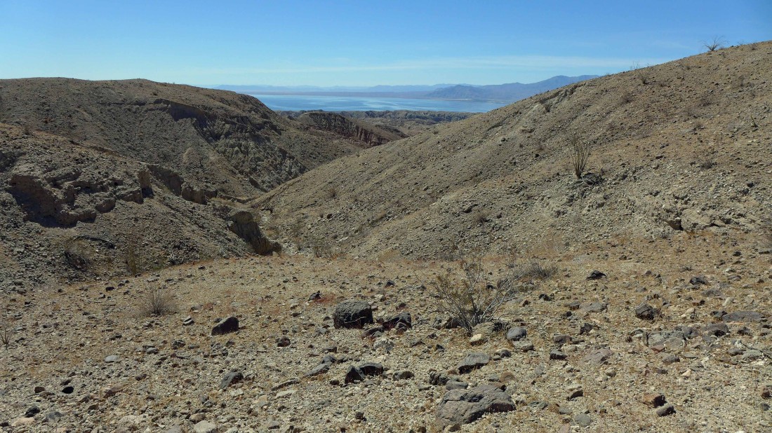
The Salton Sea appears as we come up out of the canyon.
|
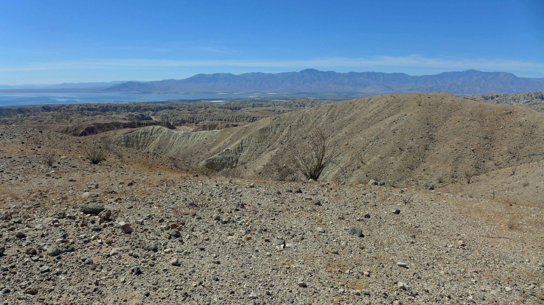
Looking across the Mecca Hills and Salton Sea to the Santa Rosa Mountains on the horizon.
|
Nice canyons in the Mecca Hills.
|
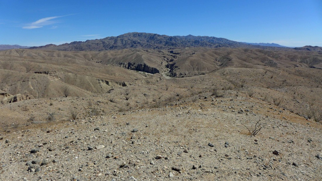
Looking beyond the Mecca Hills to the Orocopia Mountains.
|

Looking across the Mecca Hills to the Eagle Mountains which are located in Joshua Tree National Park.
|
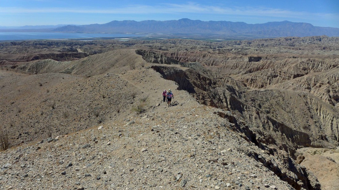
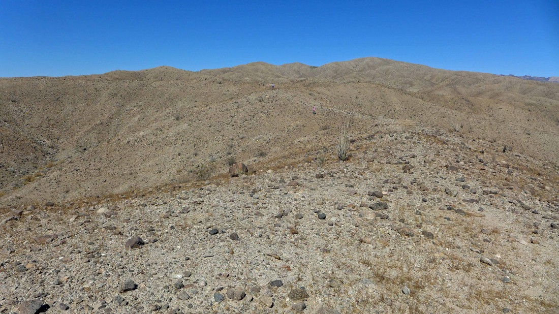
Here come the troops... hiking along a ridge above Utah Canyon.
|

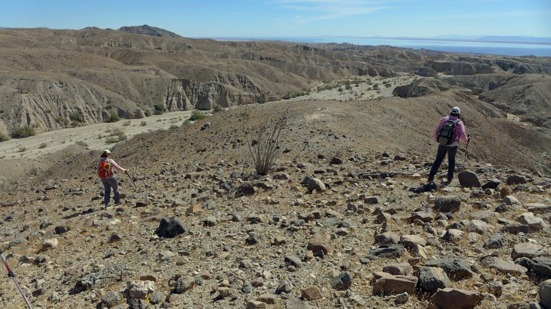
We can see a piece of Box Canyon Road in the upper left part of the photo... so we will try to work our way down to the road and make a loop hike out of the trip.
|
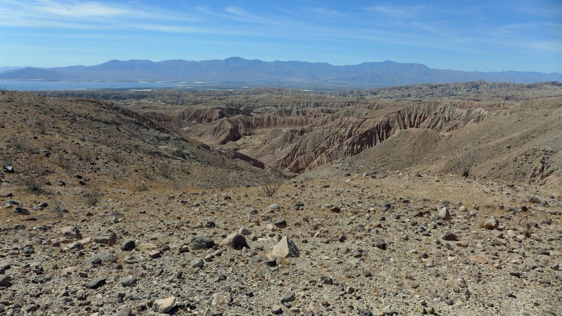
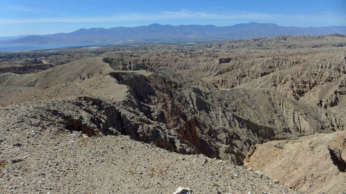
The canyons of the Mecca Hills to the Salton Sea to the Santa Rosa Mountains.
|
Hey guys... come on over, I've got a route down to Box Canyon Road.
|

Working a ridge that will get us most of the way down to Box Canyon Road.
|
Almost down to the road.
|
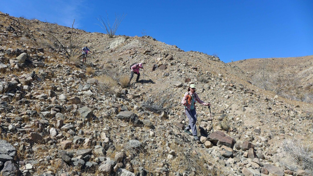
Pretty good footing getting down from the ridge to the road.
|
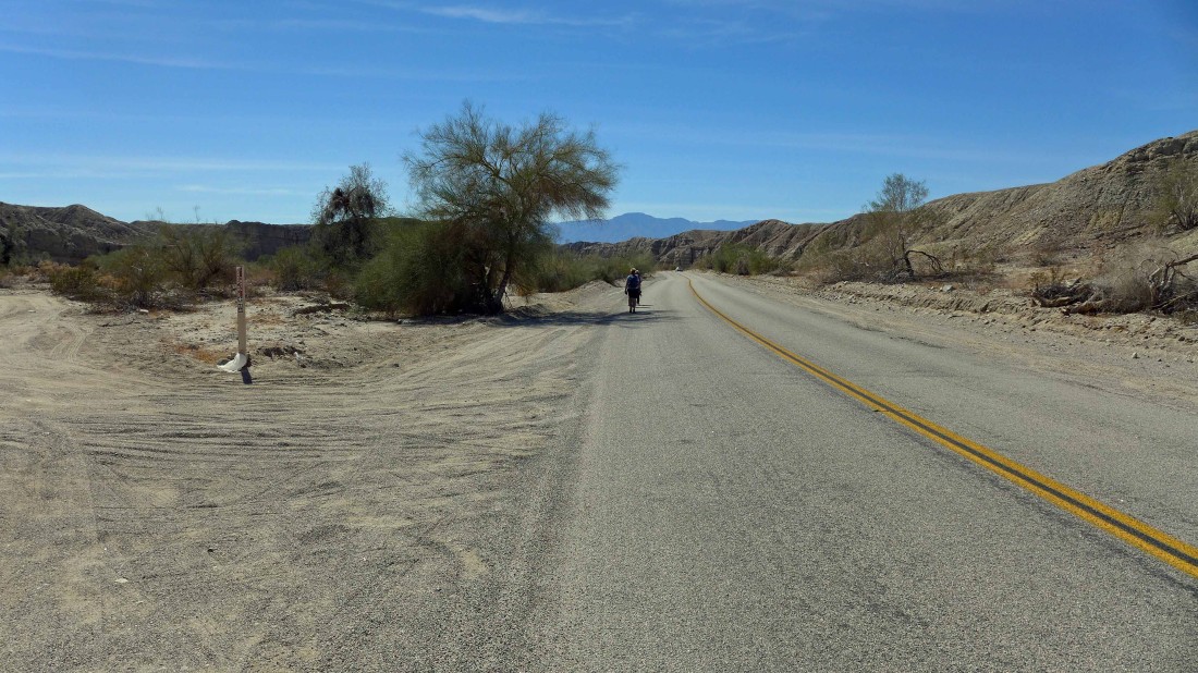
It was perhaps a third of a mile road walk back to the car... the sign on the left is for the parking area for 'Sheep Hole Oasis'... our car is 200 yards down the road... our loop trip was 3.8 miles, gaining 686 feet of elevation.
|
