Vagmarken Hill - 3.11.2018

From the west entrance of Joshua Tree National Park, drive Park Boulevard 4.9 miles and park on the right side of the road in a dirt turnout... room for 10 cars... Vagmarken Hill (aka Point 4349) is on the other side of the road from the turnout.
|
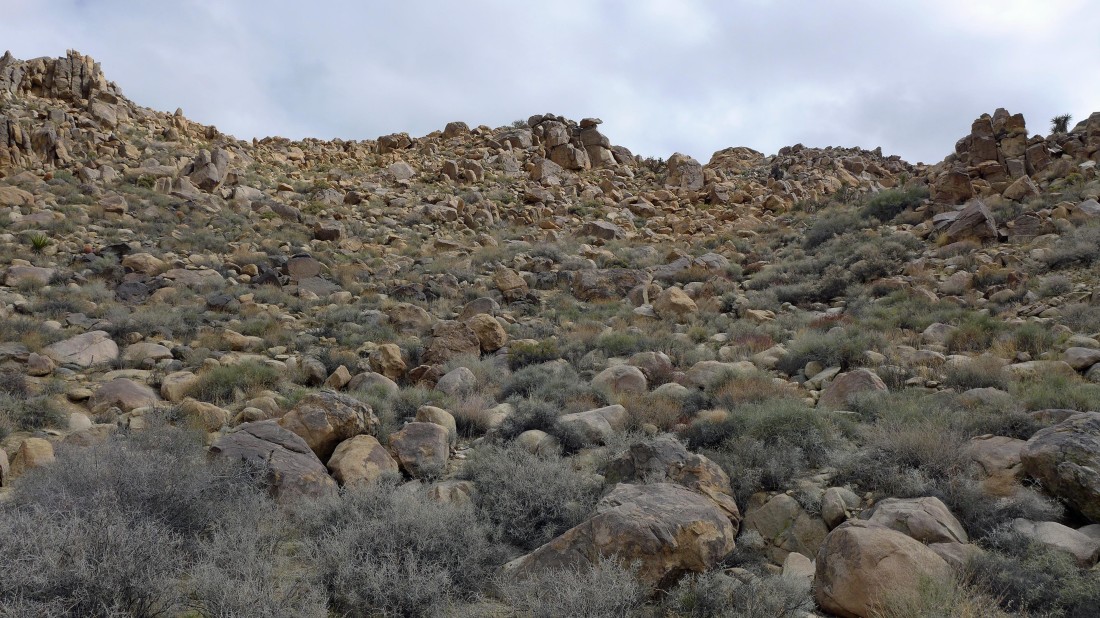
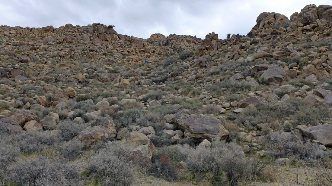
We walked around to the west side of Vagmarken and started uphill... there were several paths going up.
|
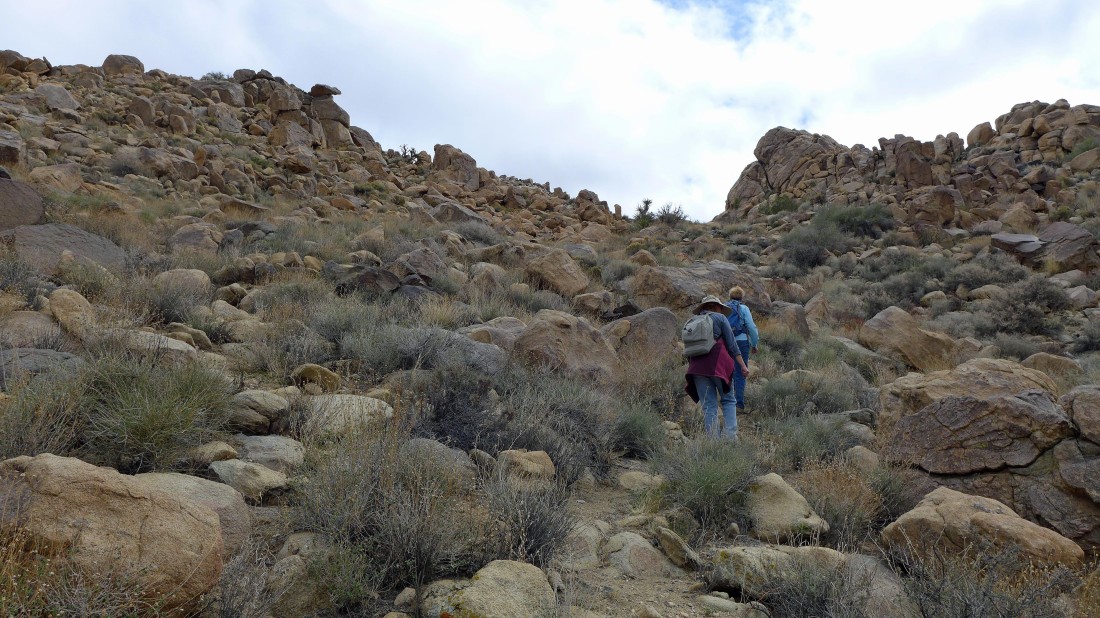
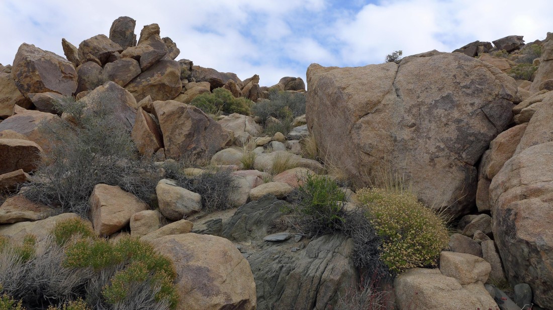
Heading for the notch directly above Gail and Mel.
|
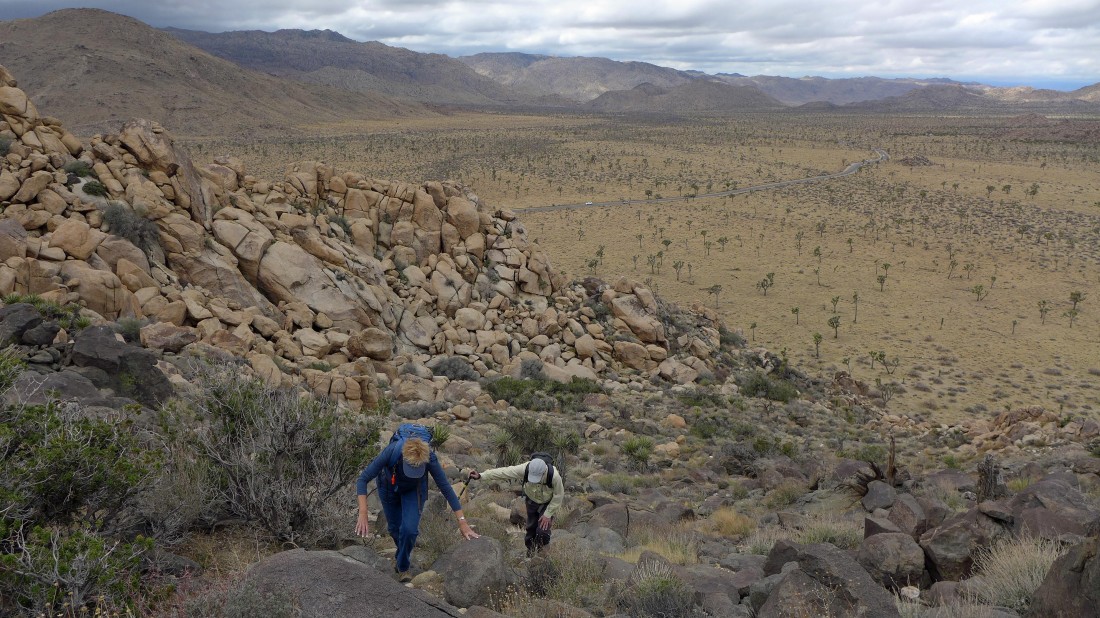
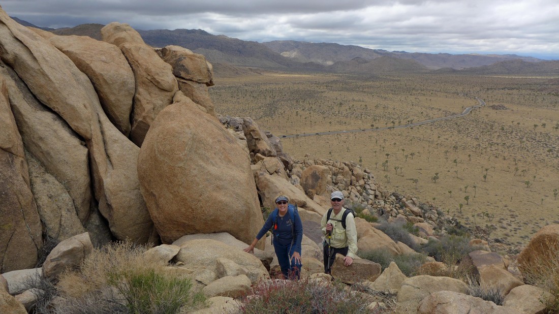
Gail and Tom working their way up Vagmarken Hill... looking back down to the desert floor... with cars driving on Park Boulevard below.
|
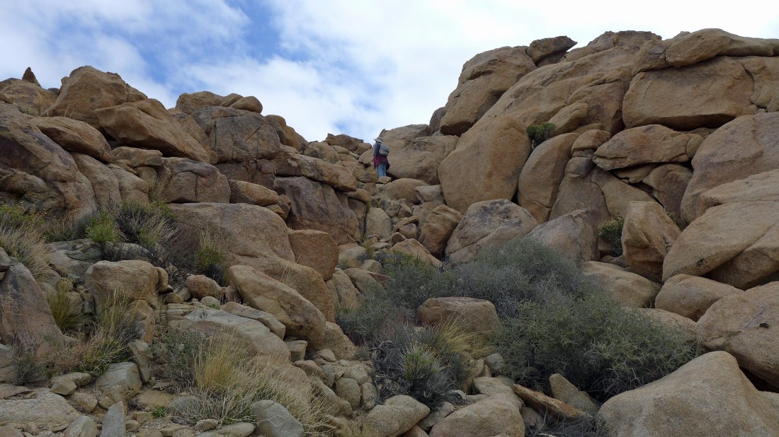
Mel is at the notch.
|
At the notch... still can't see the Vagmarken summit.
|
Gail and Tom at the notch.
|

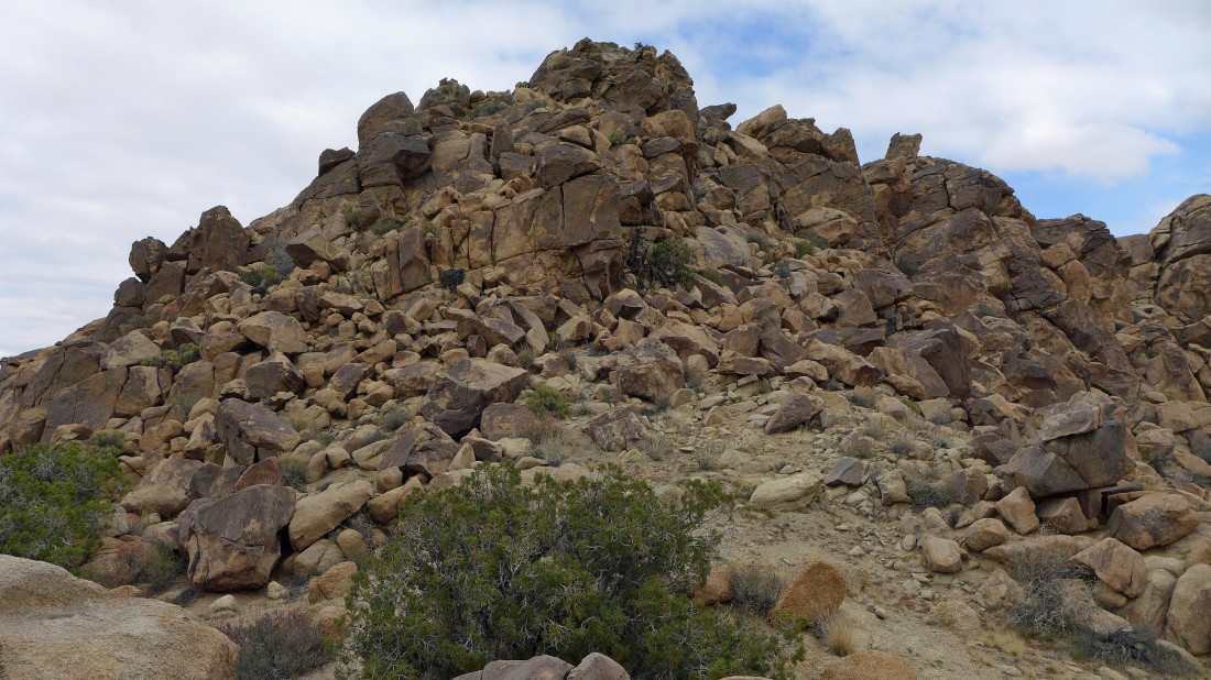
The summit of Vagmarken Hill... looks a little rugged... lets get closer.
|
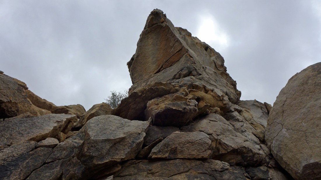
The closer I get, the more rugged it looks... the others in our group decided to relax while I continued.
|
I spent at least 20 minutes looking for a route to the summit... all I could find was a Class 3 scramble... and I wasn't going to try it without anyone else with me... so I went back down to join the others... leaving this one for another day.
|
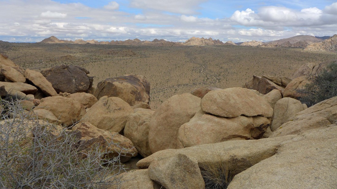
Looking out at 'The Maze' from near the top of Vagmarken Hill.
|

Heading back down.
|
Gail working her way back down to the desert floor.
|
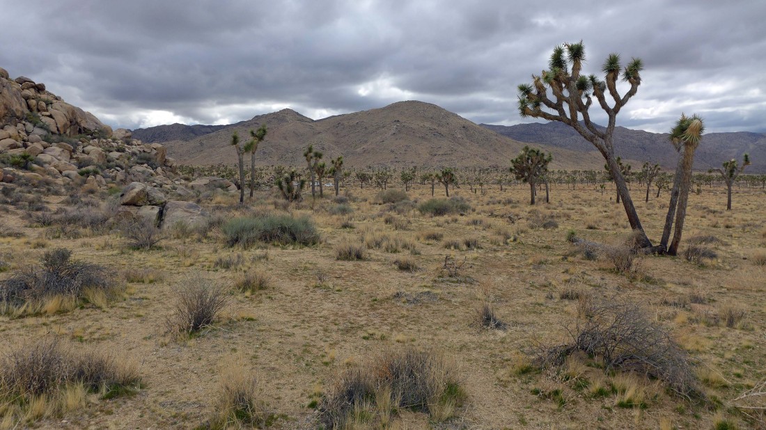
Back on the desert floor... tracing our steps back to the car.
|
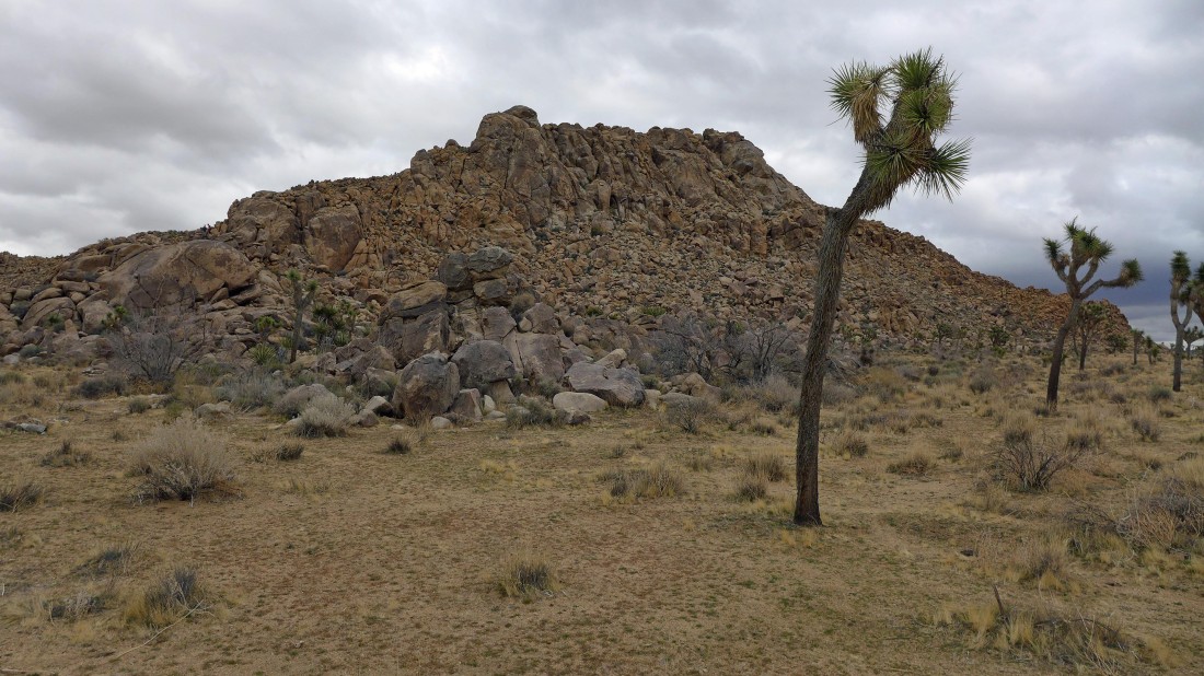
Vagmarken Hill... an awesome pile of rocks... our hike was 1.1 miles roundtrip, gaining 479 feet of elevation.
|
