Keys Peak via the Boy Scout Trail - 3.12.2018
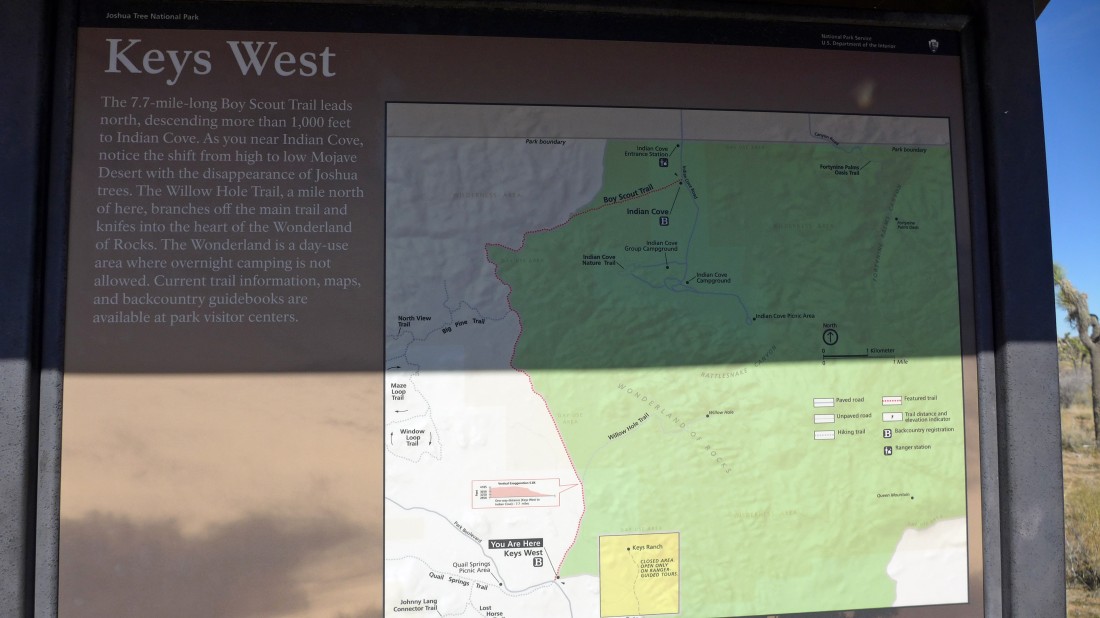
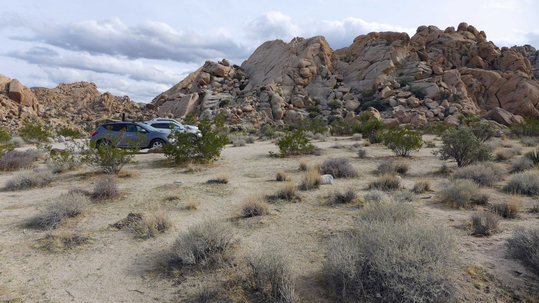
From the west entrance of Joshua Tree National Park, drive Park Boulevard 6.5 miles and park in the large parking area for the Boy Scout Trail on the left side of the road.
|

Hiking on the Boy Scout Trail... today's hike will be a through-hike that follows along the west side of the 'Wonderland of Rocks' all the way down to Indian Cove where we stashed a car earlier in the day.
|
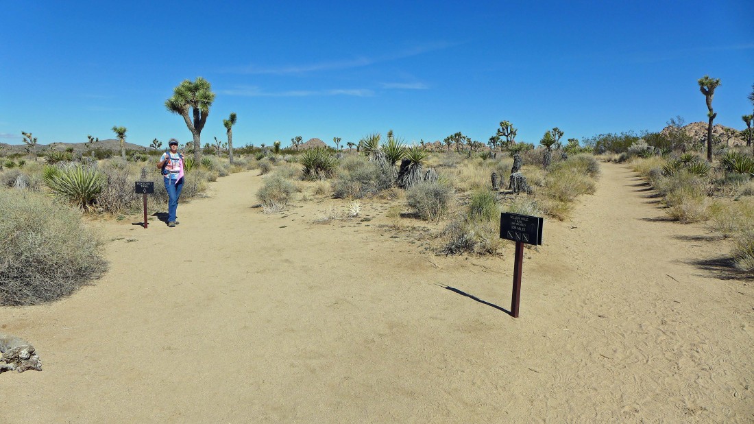
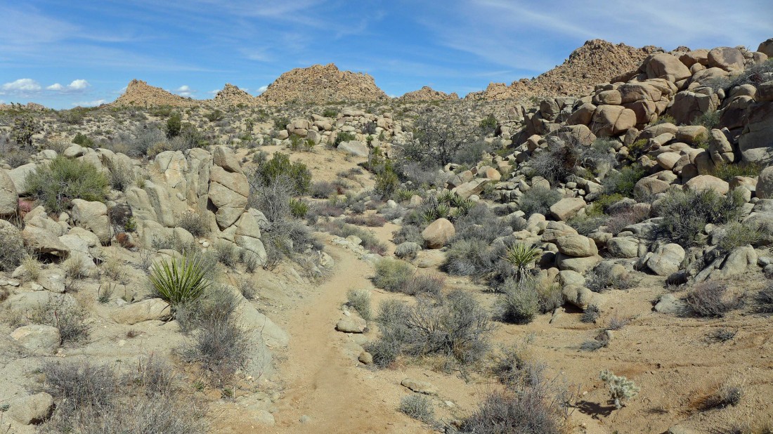
After hiking the BST for 1.2 miles there is a junction for Willow Hole... but we will stay on the Boy Scout Trail.
|
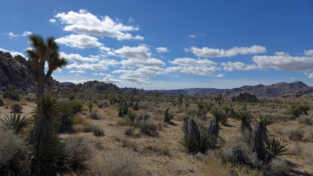
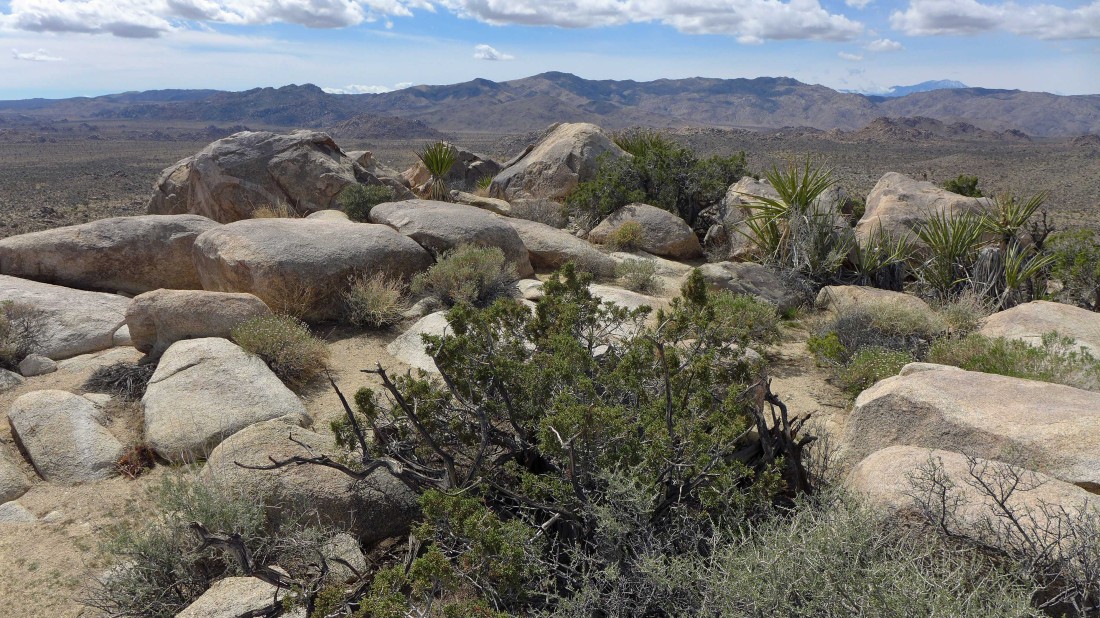
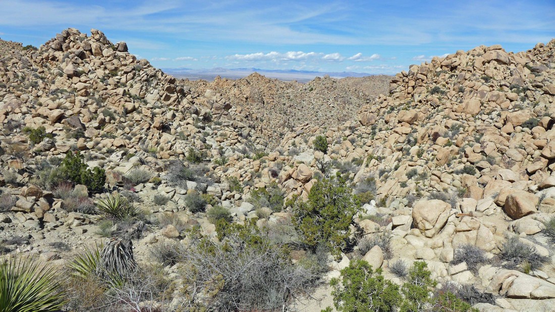
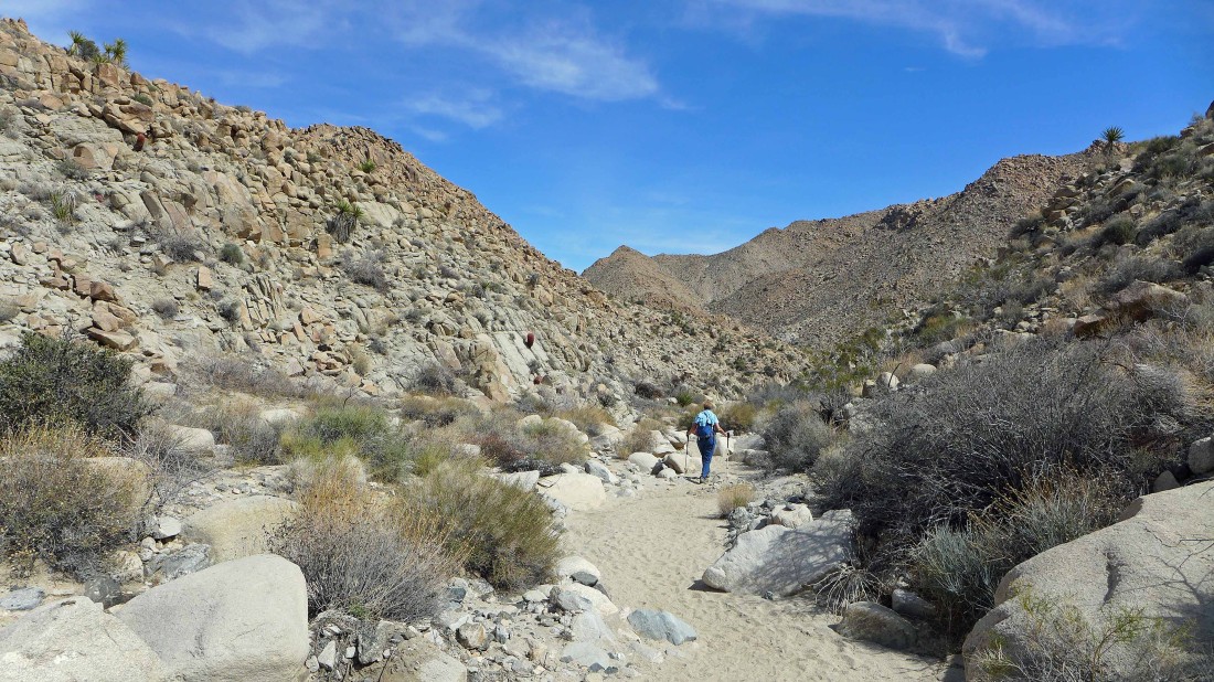
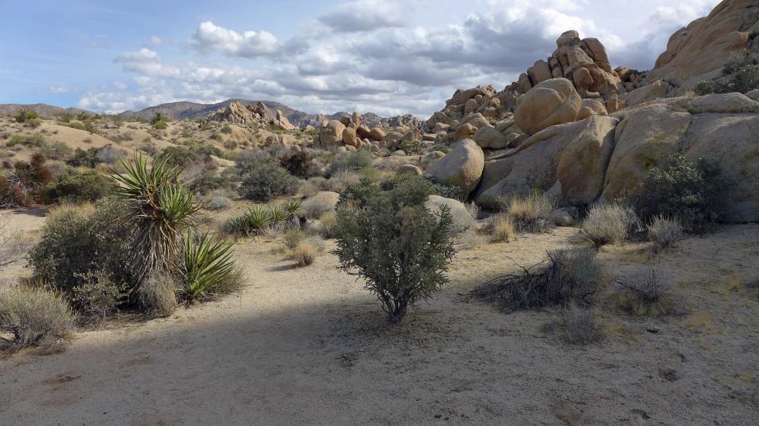
Looking back as we continue on the Boy Scout Trail.
|
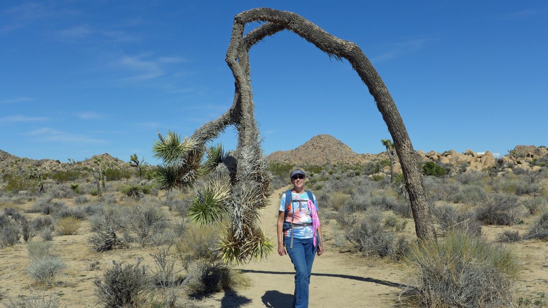
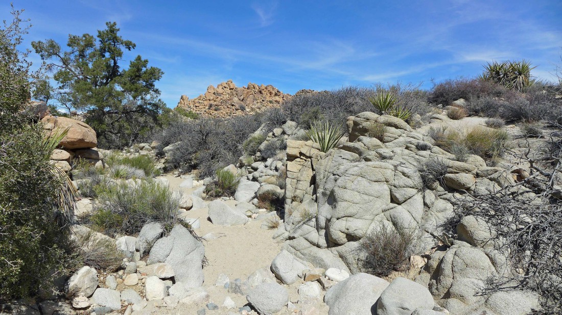
Looking through the goal posts at Mount Minerva Hoyt (shade on top)... and Quail Mountain in the sunshine.
|
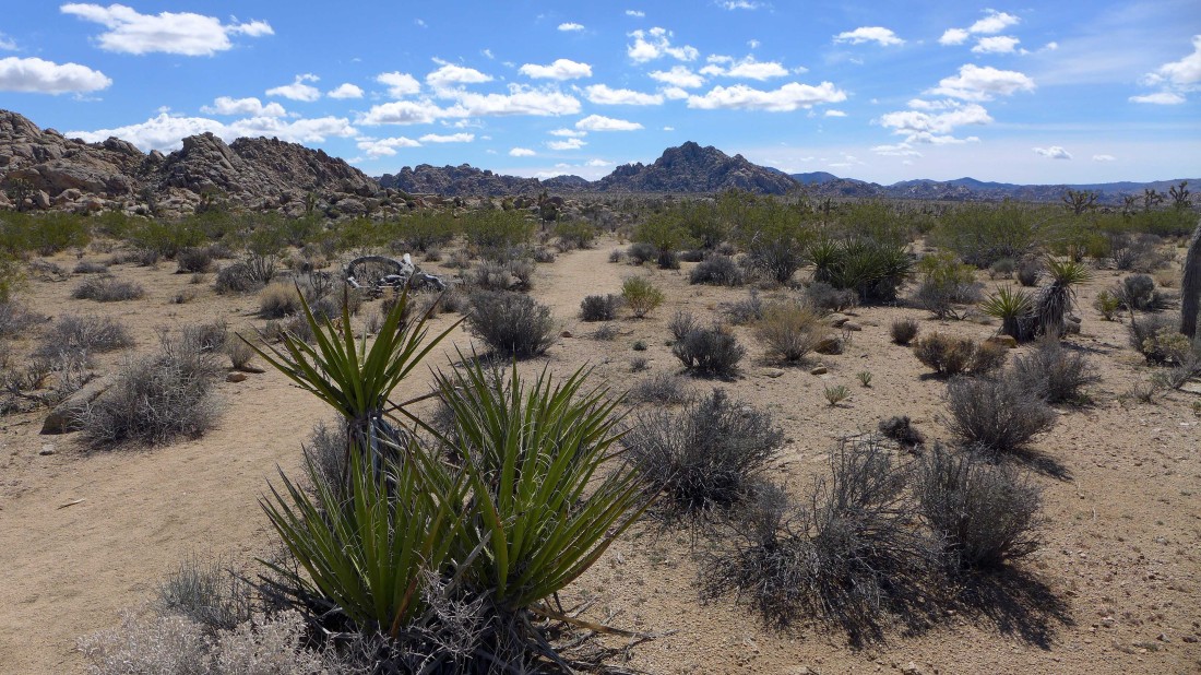
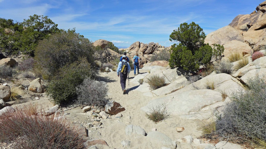
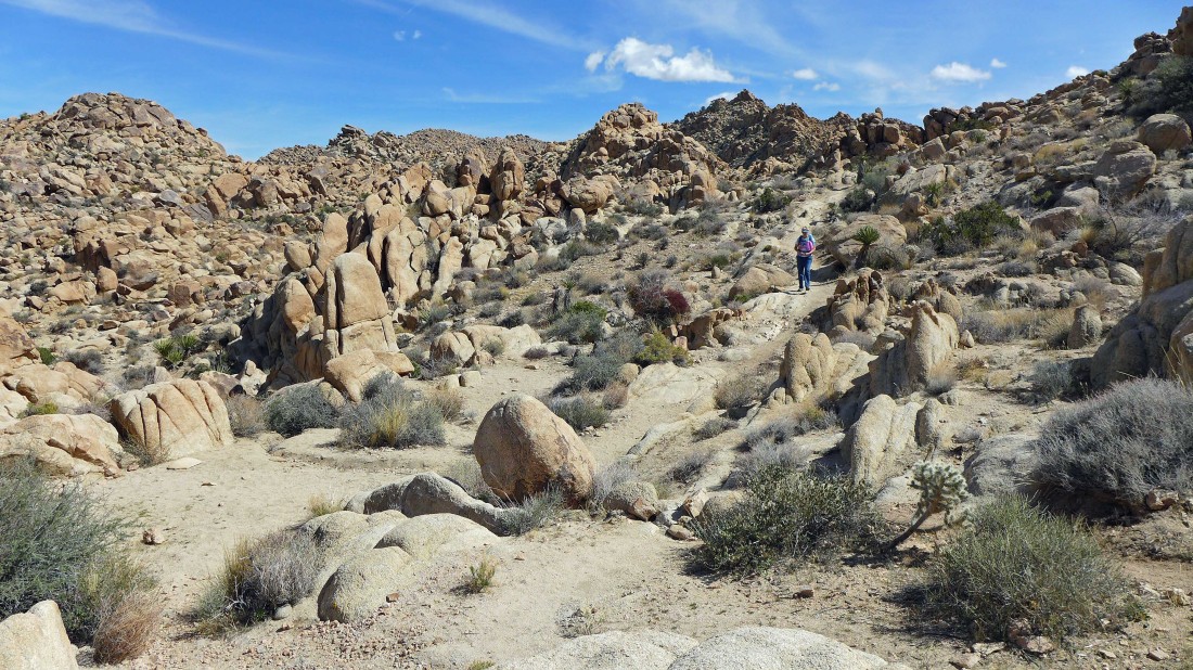
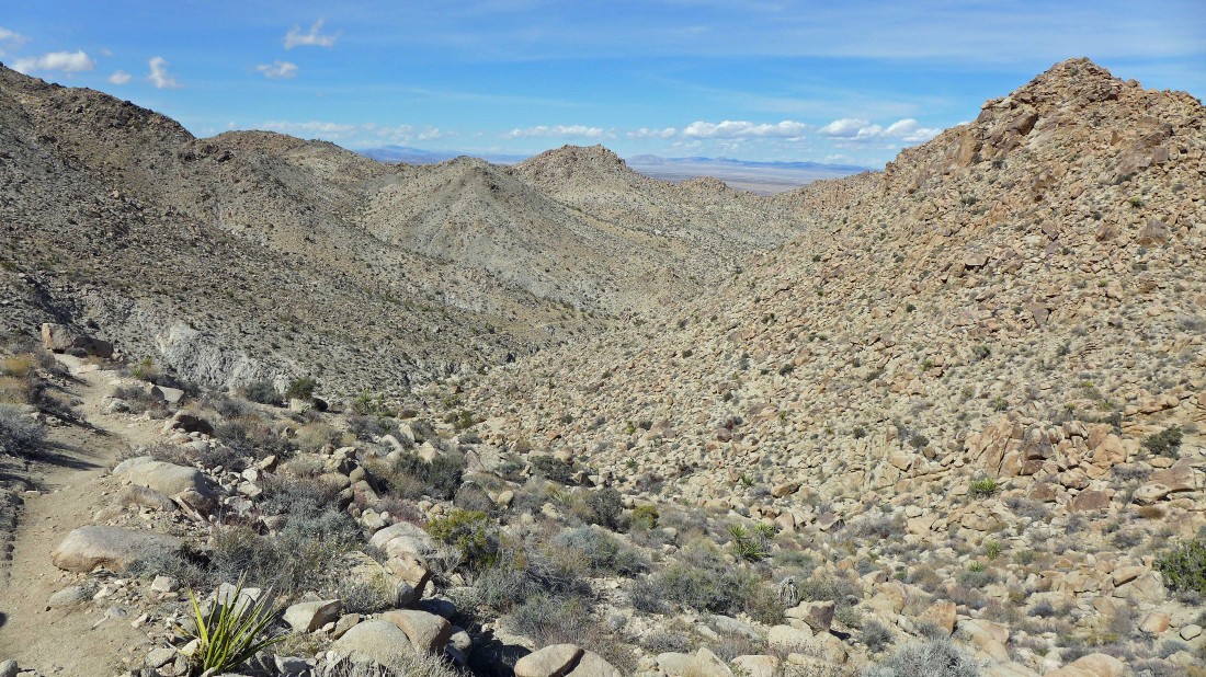
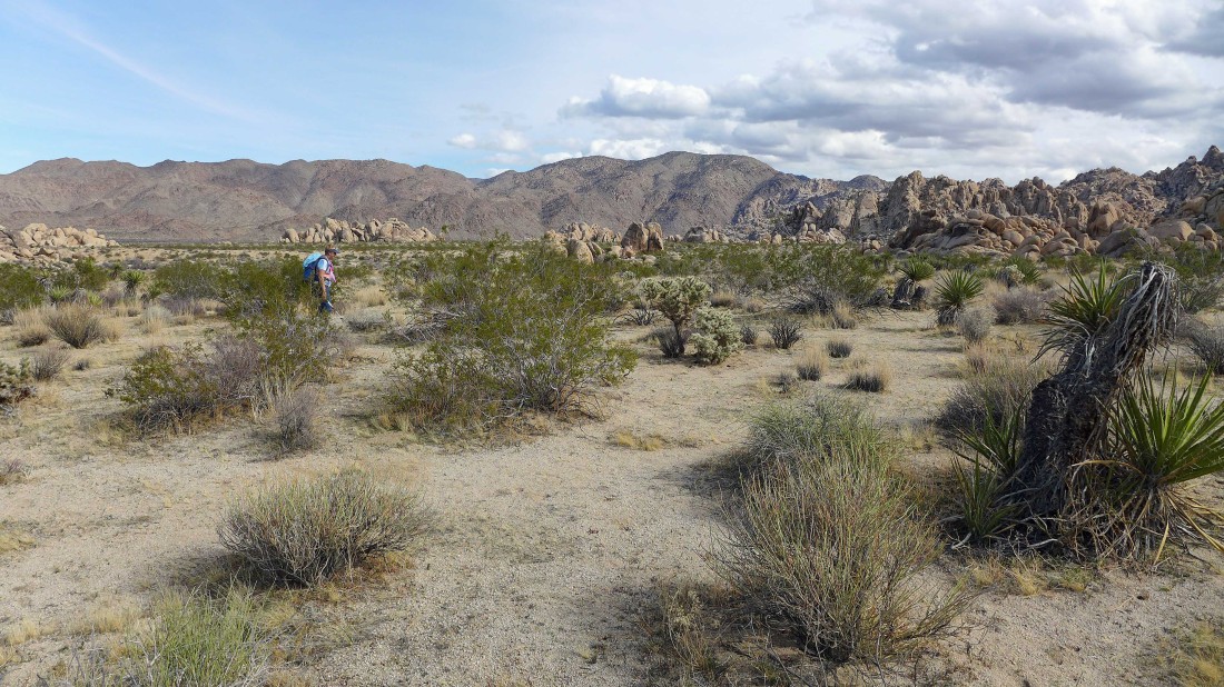
We will follow the Boy Scout Trail down to Keys Peak in the distance above Gail's head.
|
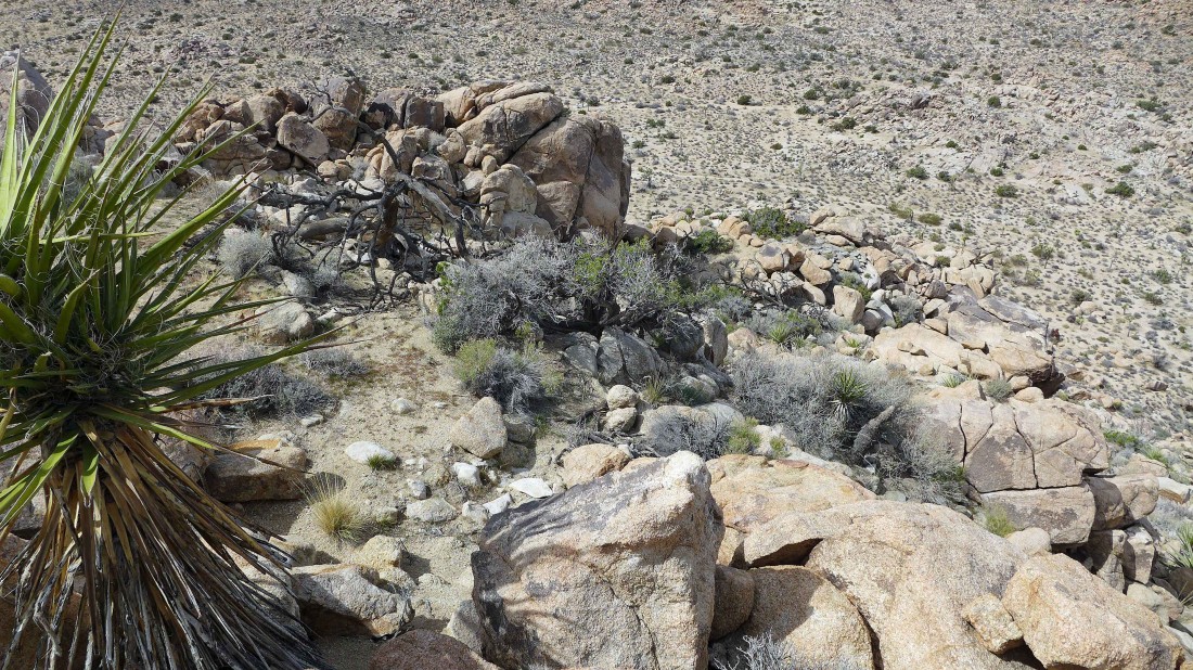
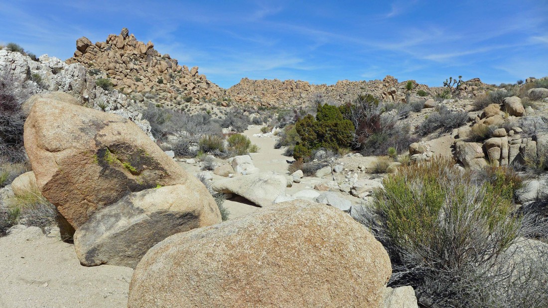
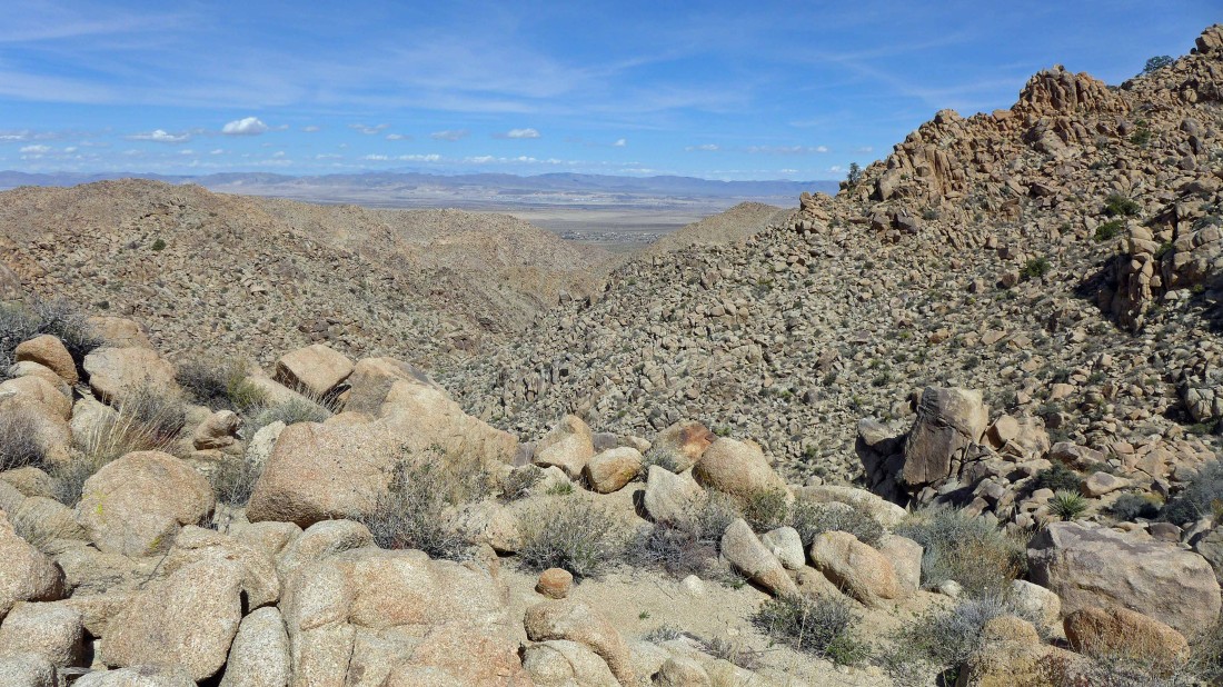
Looking back to the south... Wonderland of Rocks on the left.
|
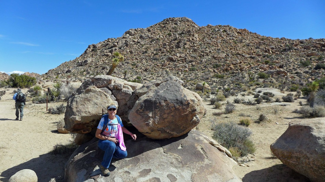
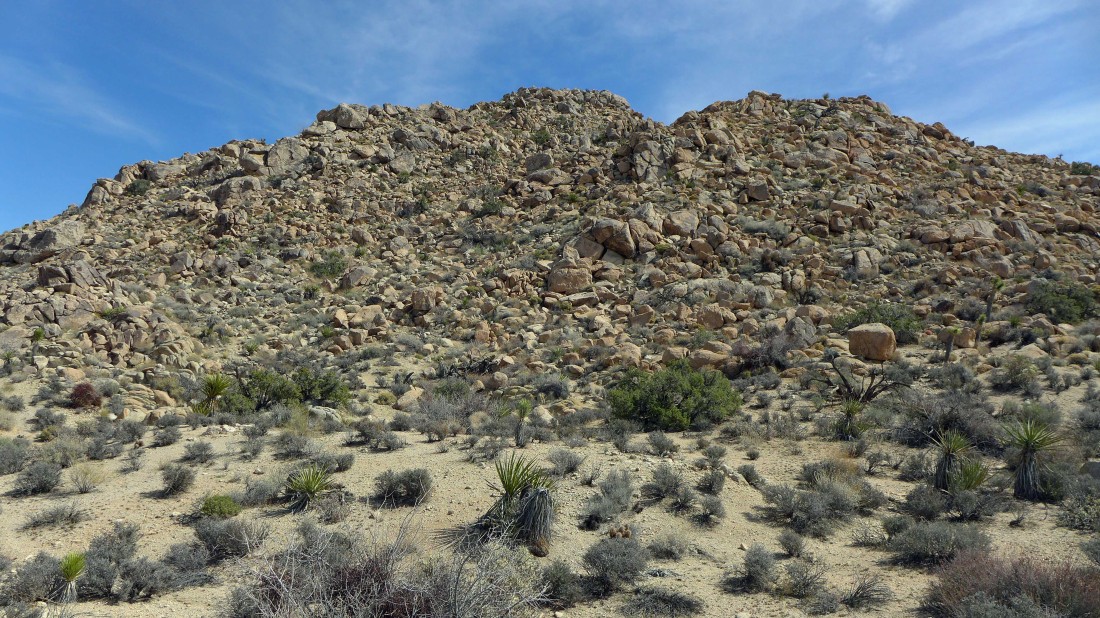
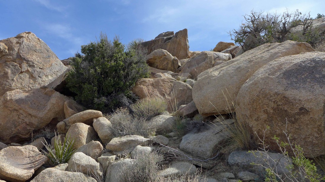
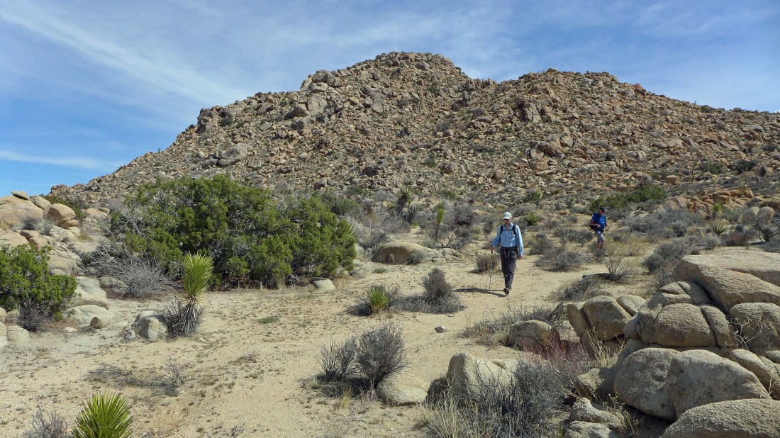
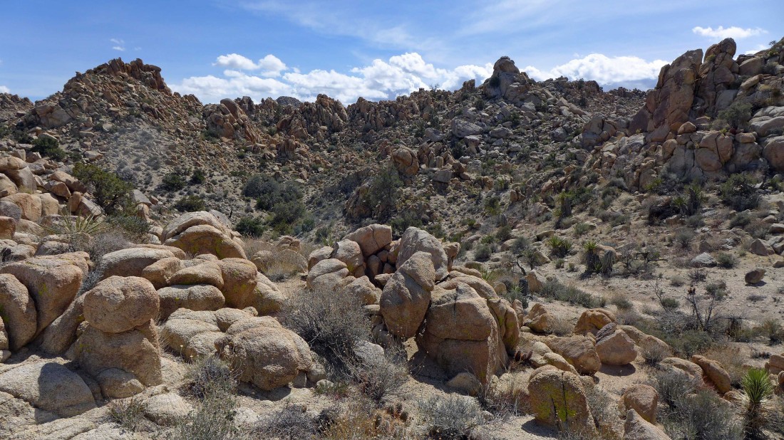
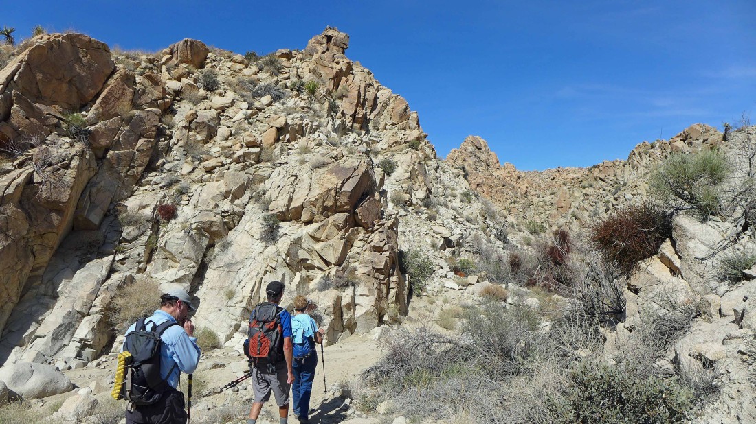
Nearing the base of Keys Peak.
|
The gang is going to relax while I head up to Keys Peak... I'm just going to follow my nose up to the top.
|

Scrambling up to the top of Keys Peak.
|
Nearing the summit of Keys Peak.
|
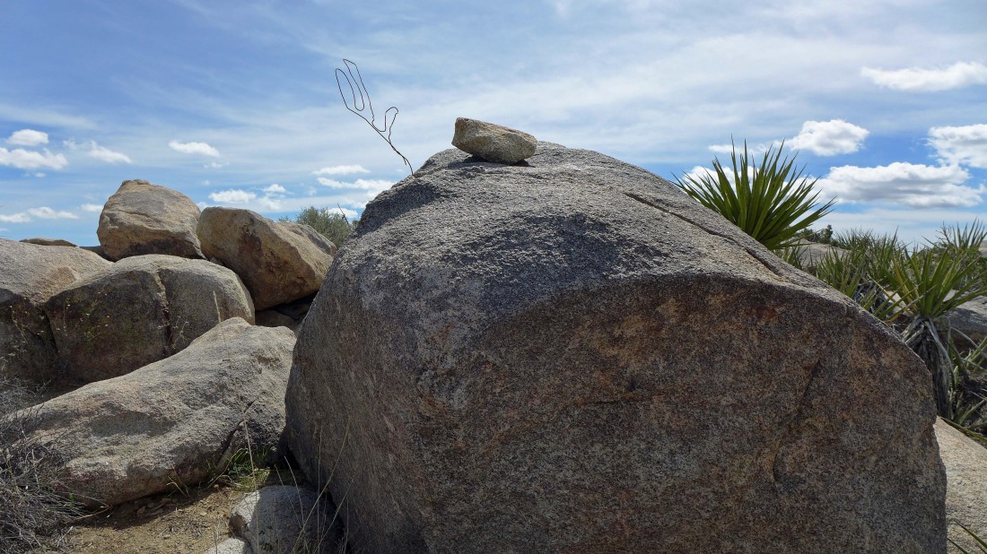
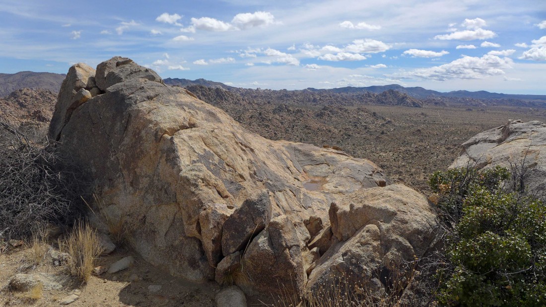
At the summit area of Keys Peak... it is a broad summit area and someone placed the small rock and coat hanger here so that there wouldn't be any confusion when it was time to come back down.
|
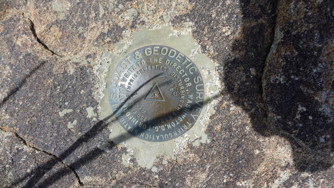
The benchmark was placed in 1939.
|
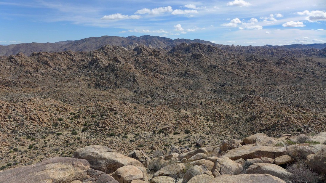
Looking east from the Keys summit to the Wonderland of Rocks.
|
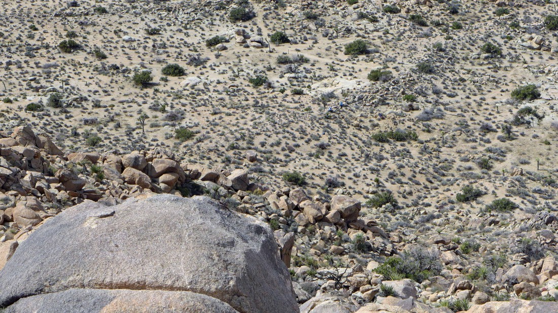
Looking down from the Keys summit to the rest of the gang in the center of the photo.
|
Looking SE from the Keys summit at the Wonderland of Rocks in the foreground... with Ryan Mountain on the horizon... the Boy Scout Trail is barely visible on the desert floor to the right.
|
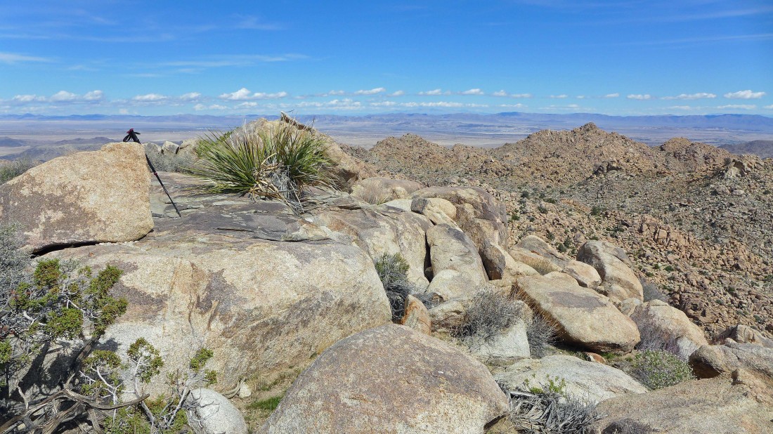
The Keys Peak summit (4483') is right of center.
|
Looking north from the Keys Peak summit... across several valleys to the Bullion Mountains on the horizon... with the Wonderland of Rocks in the right foreground.
|
Looking SW from the Keys Peak summit to Mount Minerva Hoyt and Quail Mountain in the center of the photo... San Jacinto Peak is the dark formation on the far right horizon.
|
Heading down from the Keys Peak summit.
|

Rejoining the gang... time to continue north on the Boy Scout Trail and head for our other car that we placed earlier in the day at Indian Cove.
|
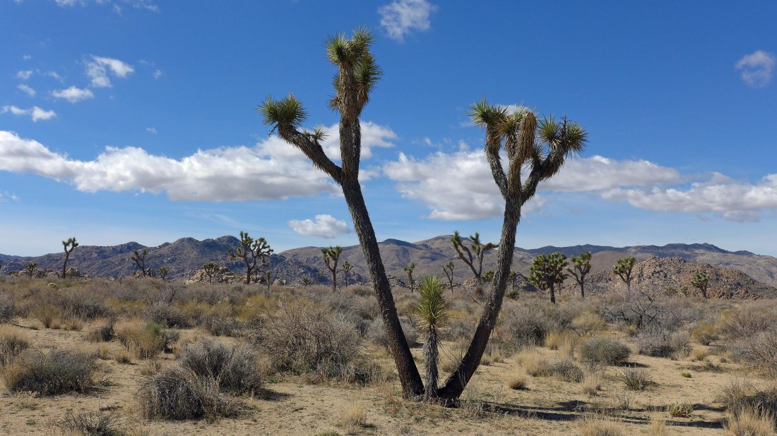
Continuing on the Boy Scout Trail beyond Keys Peak.
|
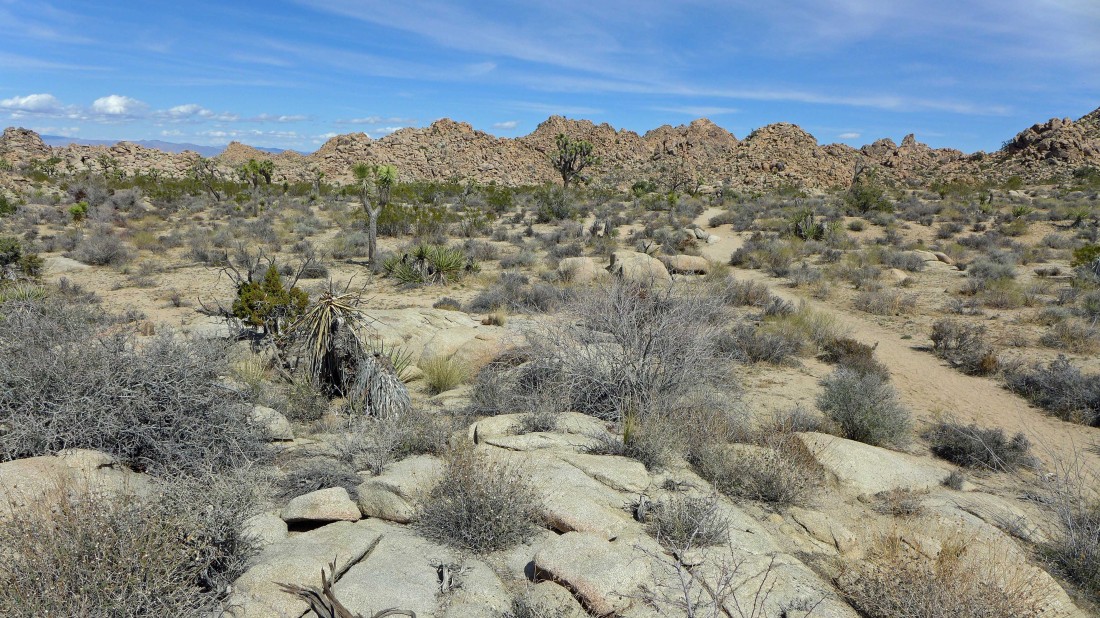
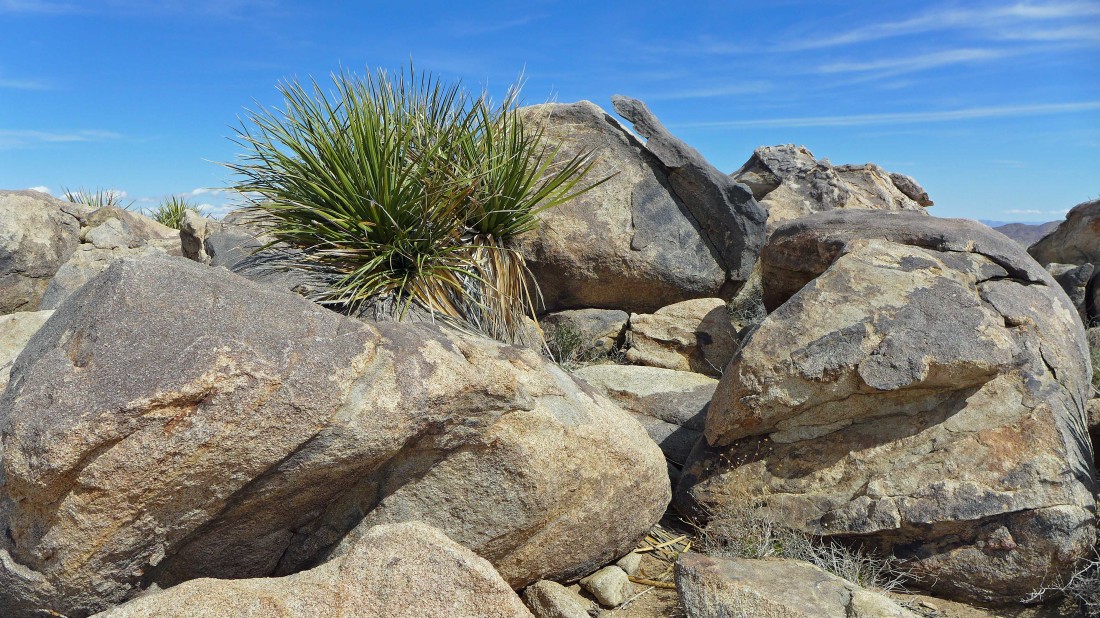
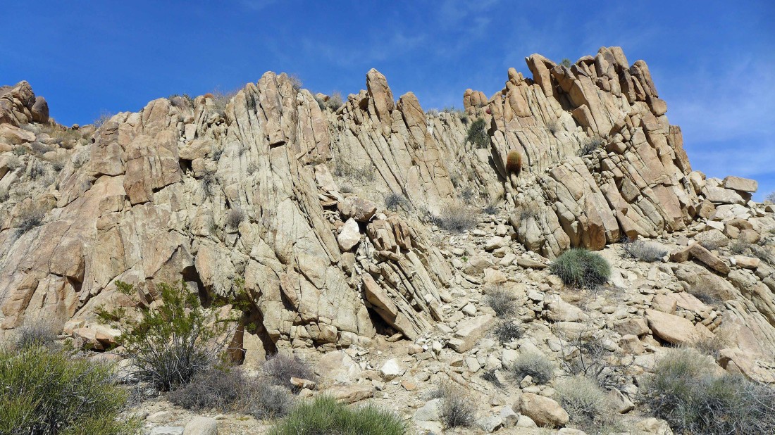
Rocks, rocks and more rocks.
|
Continuing north on the Boy Scout Trail.
|
Continuing north on the Boy Scout Trail.
|

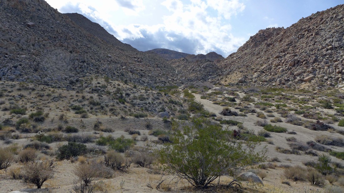
The trail uses a few washes along the way.
|
Continuing north on the Boy Scout Trail.
|
Continuing north on the Boy Scout Trail.
|
Looks like we are going to lose some elevation now.
|
Looking across the valley to the Bullion Mountains.
|
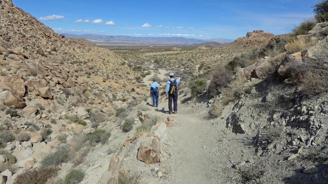
Losing elevation now as we continue north on the Boy Scout Trail.
|
Losing elevation now as we continue north on the Boy Scout Trail.
|
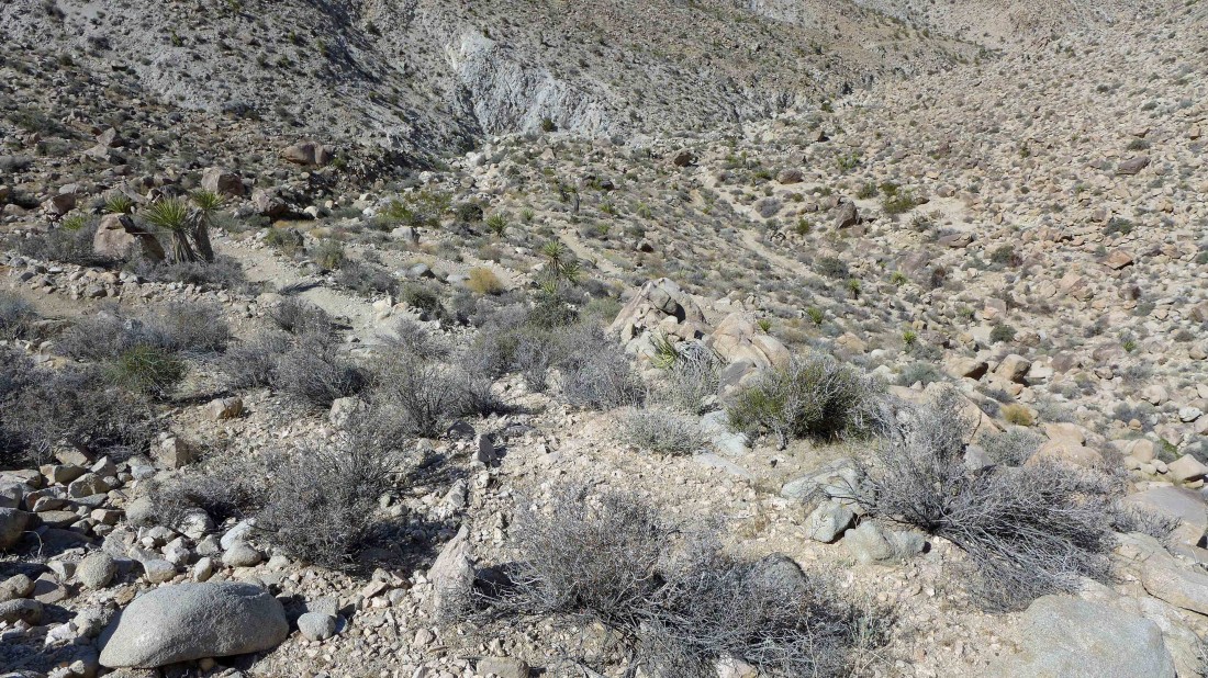
We can see the trail snaking down the canyon.
|
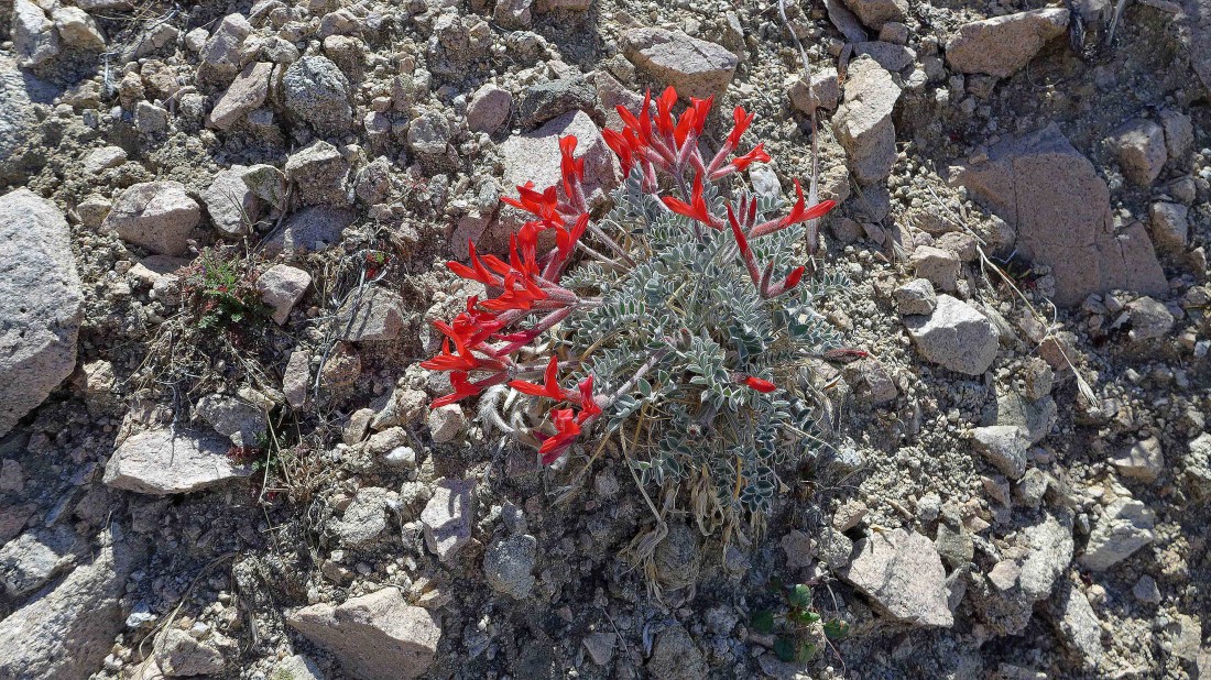
I think we are looking at a Chuparosa... but don't take my word for it.
|
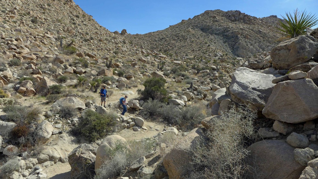
Switchbacking down the Boy Scout Trail on our way to Indian Cove.
|
Losing elevation now as we continue north on the Boy Scout Trail.
|
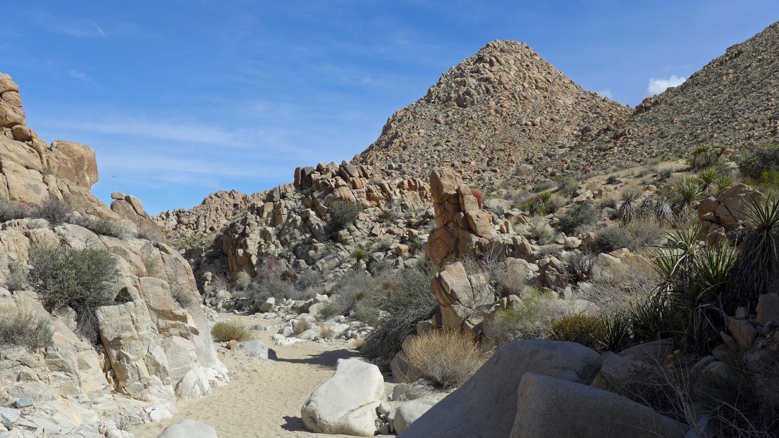
Back in a wash.
|
Awesome rock.
|
Losing elevation now as we continue north on the Boy Scout Trail.
|

The trail is starting to turn to the east now.
|
That is Mount Mel in the distance... it is on my list, but it won't happen today.
|
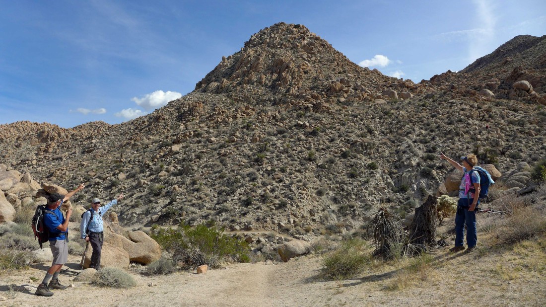
The gang points out Mount Mel.
|
Continuing north on the Boy Scout Trail... looks like we are heading for the great wide open.
|

On the desert floor... looking back at the canyon we just came down.
|

Gail leads us off of the Boy Scout Trail as we head cross-country for our other car that is parked at the Nature Trail in Indian Cove.
|
Continuing cross-country and looking back at the canyon we just came down.
|
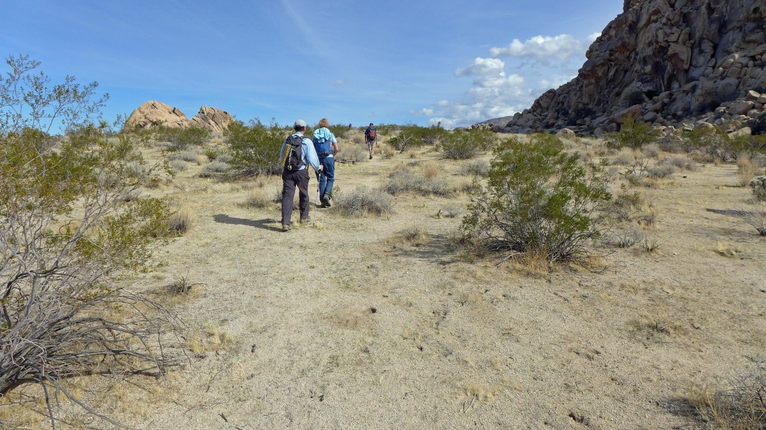
Heading cross-country for the barn... we will kind of hug the northern end of the Wonderland of Rocks as we wind our way back to Indian Cove.
|
Cross-country along the northern end of the Wonderland of Rocks.
|
Almost back to the car.
|
After hiking 8.5 miles and gaining 999 feet of elevation we have reached our car at the Nature Trail in Indian Cove... now it is time to drive back and get our other car... what a day!
|
