Combs Peak - 3.16.2018
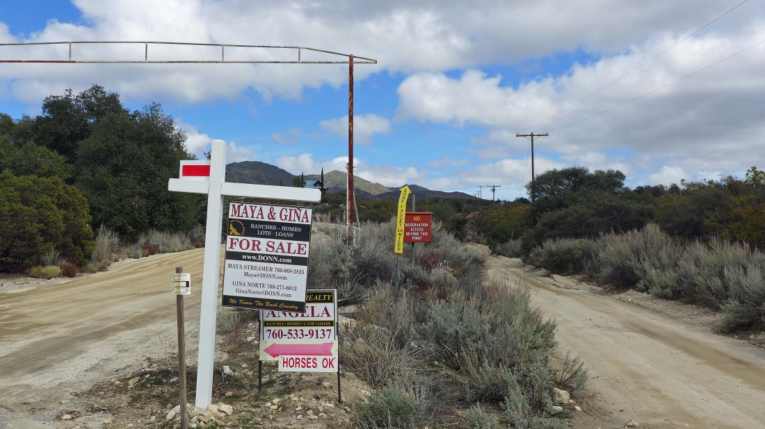
After driving Chihuahua Valley Road for 6.4 miles you will see this unpaved split off of the paved Chihuahua Valley Road... notice the yellow sign that shows the Lost Valley Road going off on the right fork... that is what you want to take.
|
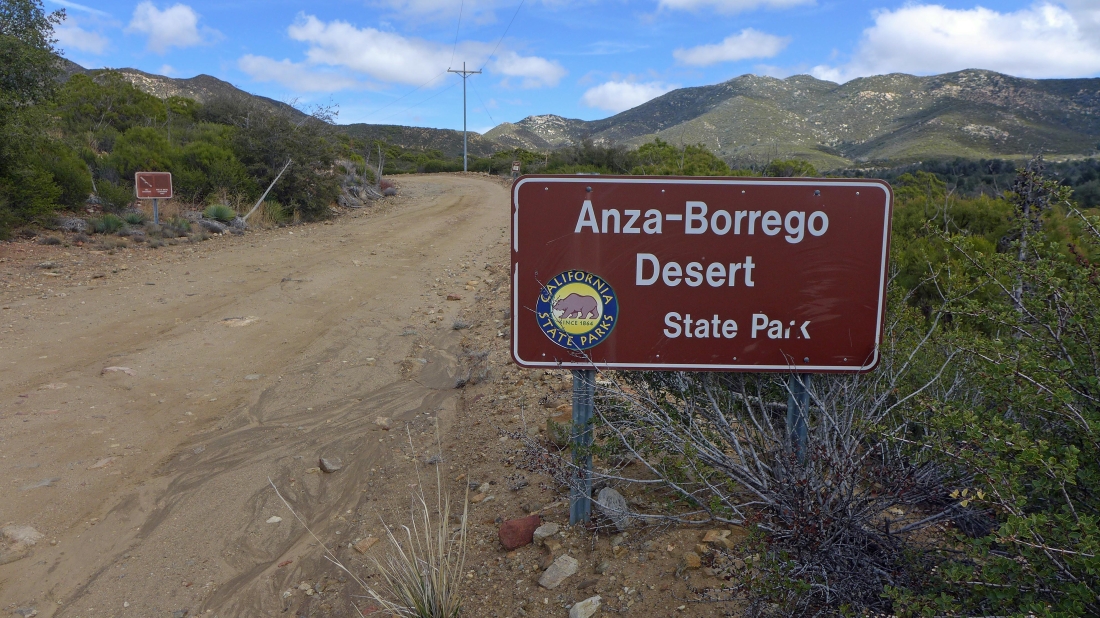
After driving the unpaved Lost Valley Road for ~3 miles you will enter Anza-Borrego Desert State Park... notice the little 'V' on the horizon just to the right of the telephone pole... that is where we parked.
|
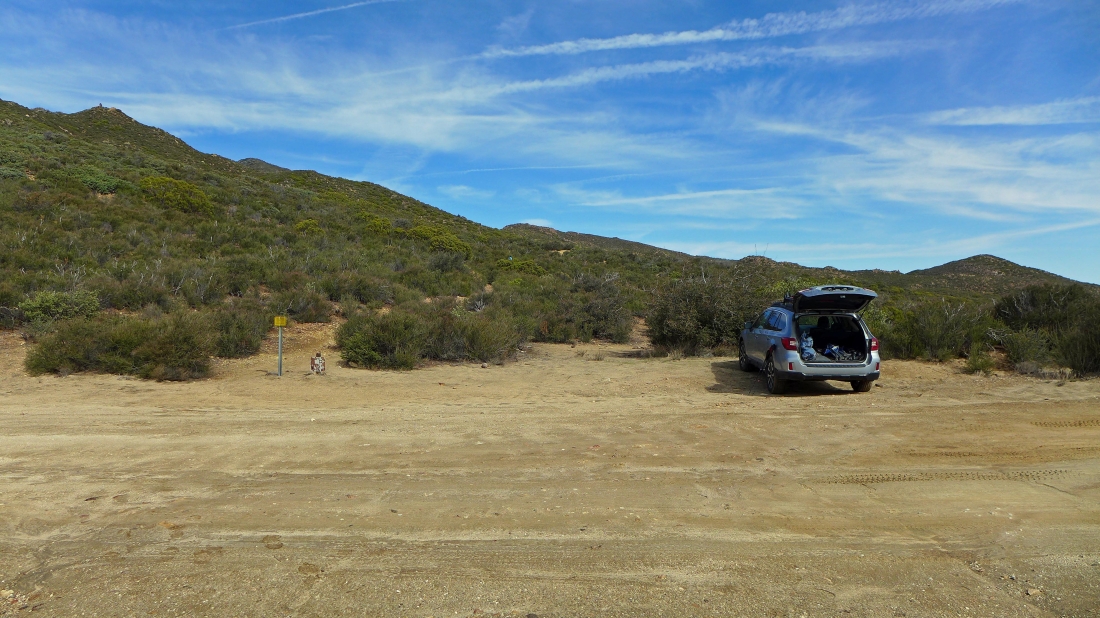
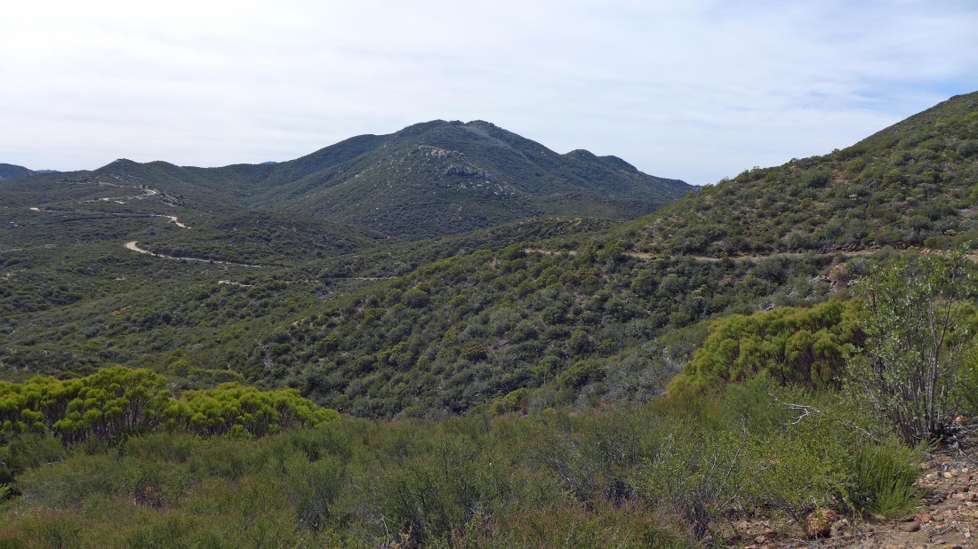
After driving the unpaved Lost Valley Road for a total of 4.9 miles we parked where the Pacific Crest Trail crosses the road... if you draw a straight line from the little yellow sign up toward the sky, you will see the top of Combs Peak which looks like a little dark colored mound on the horizon.
|
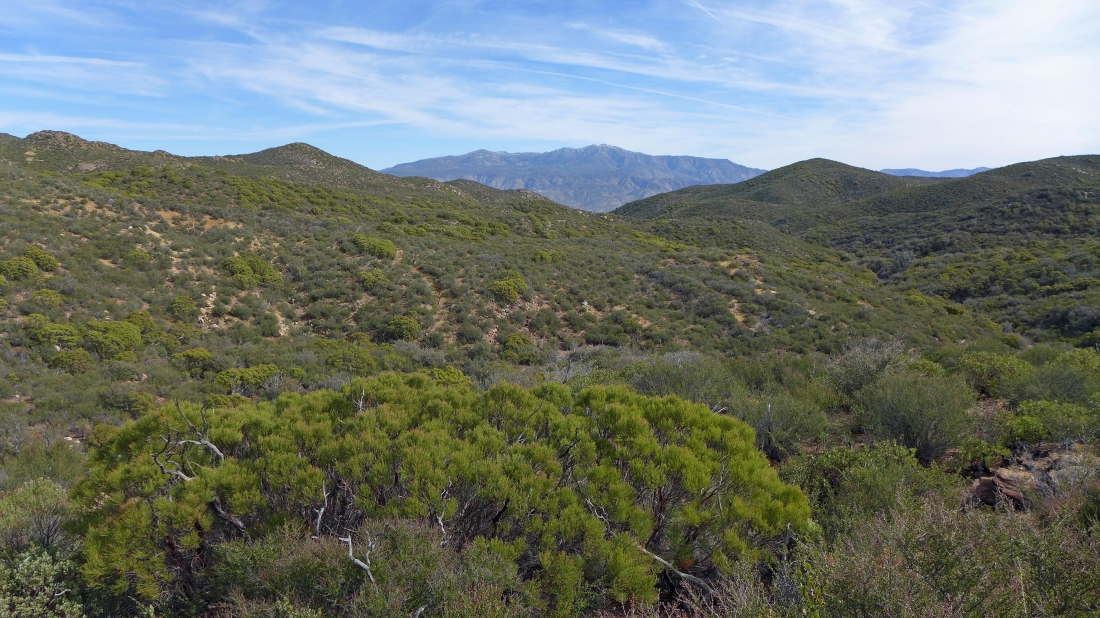
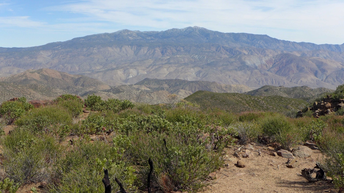
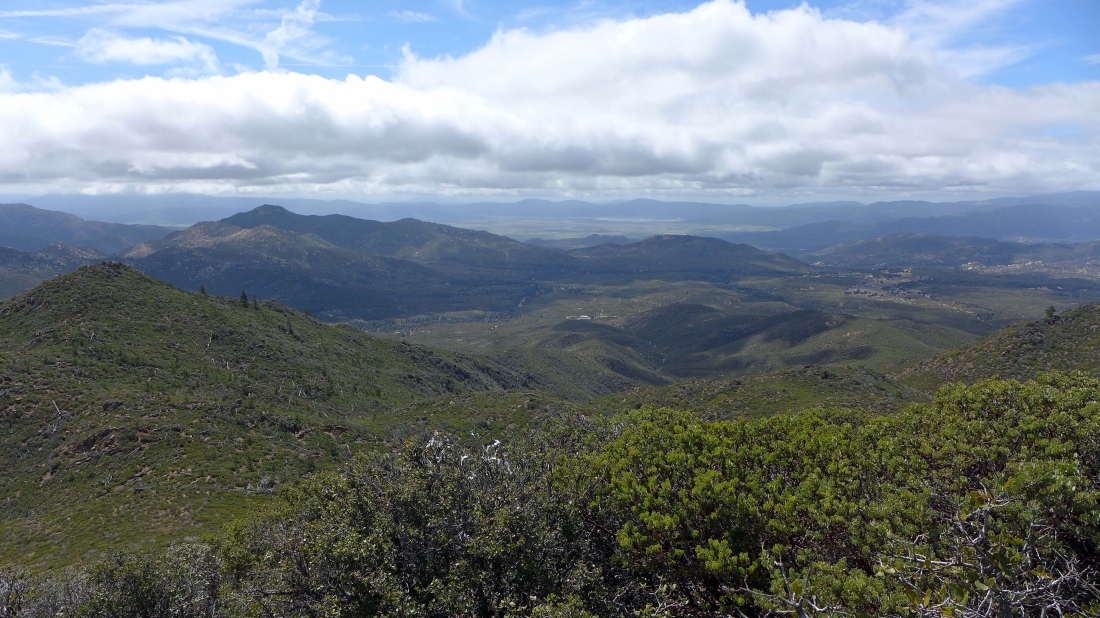
We can see the 8,716 foot Toro Peak through the gap.
|
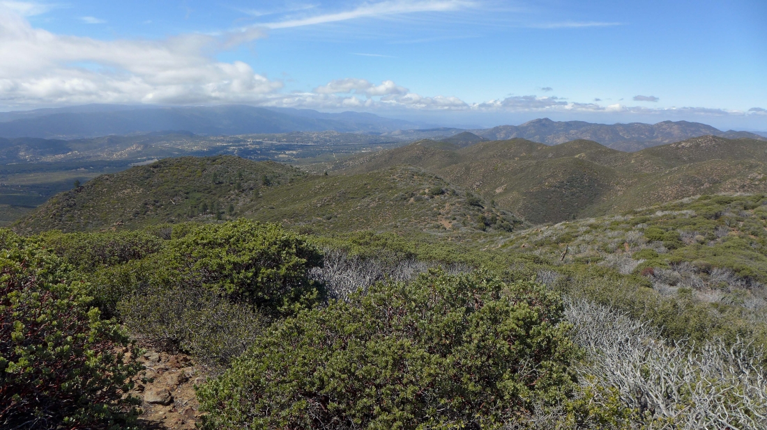
Hiking north on the PCT... looking back at the 5,863 foot South Combs Peak... we can also see the Lost Valley Road as it continues on up from where we parked.
|
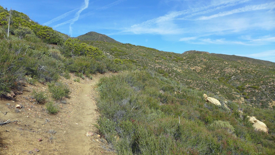
Hiking north on the PCT... heading for Combs Peak above.
|
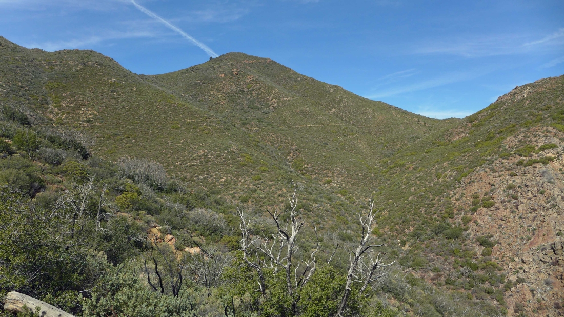
Getting closer to Combs Peak... the PCT will take us over to the low point on the far right.
|
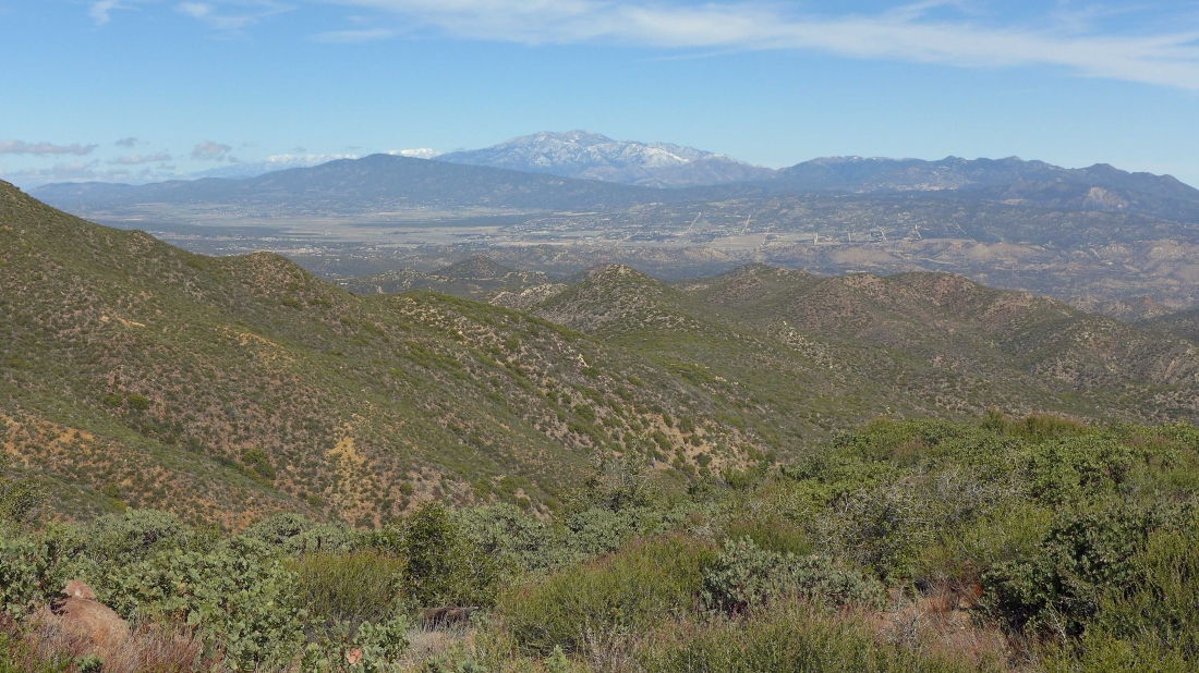
Looking north across Anza Valley to the San Jacinto Mountains.
|
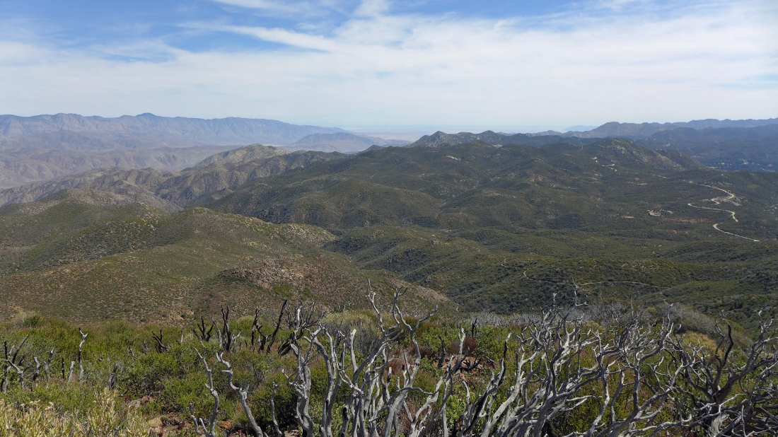
Looking NE to Toro Peak in the Santa Rosa Mountains.
|
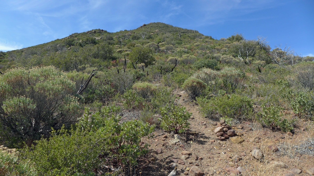
We have left the PCT and will follow a nice set of cairns to the top of Combs Peak.
|
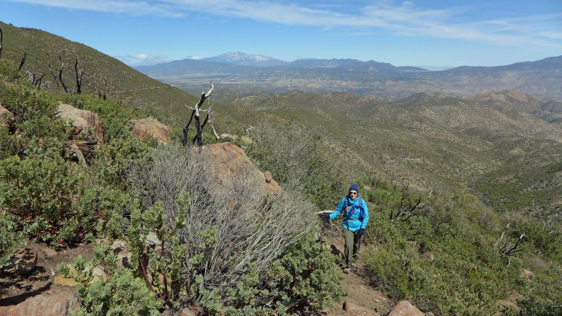
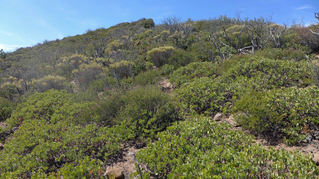
Gail on the nice use-trail leading to Combs Peak... The San Jacinto Mountains are in the distance on the left... with part of the Santa Rosa Mountains on the right.
|
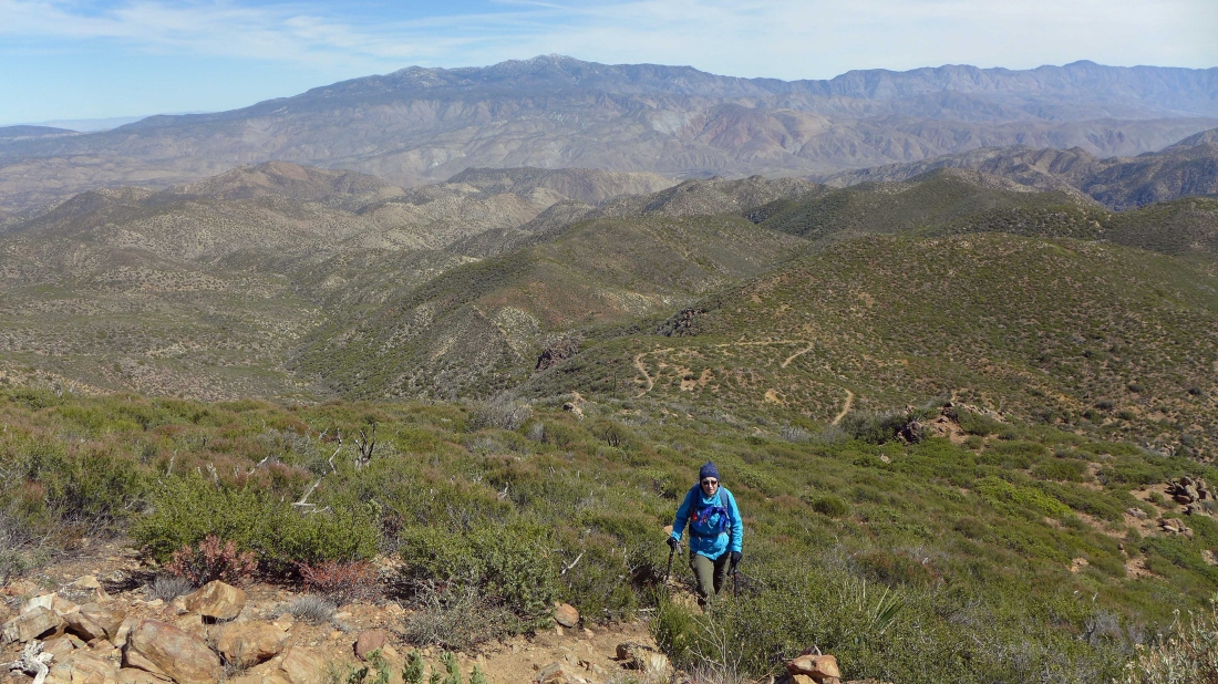
Getting higher on our way to the summit of Combs Peak... Toro Peak is in the left center of the photo... with the PCT below us.
|
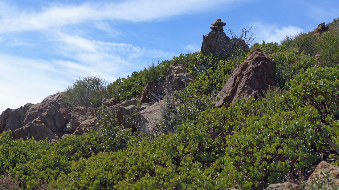
Lots of cairns help with all of the bushy growth on this mountain.
|
Summit in view!
|
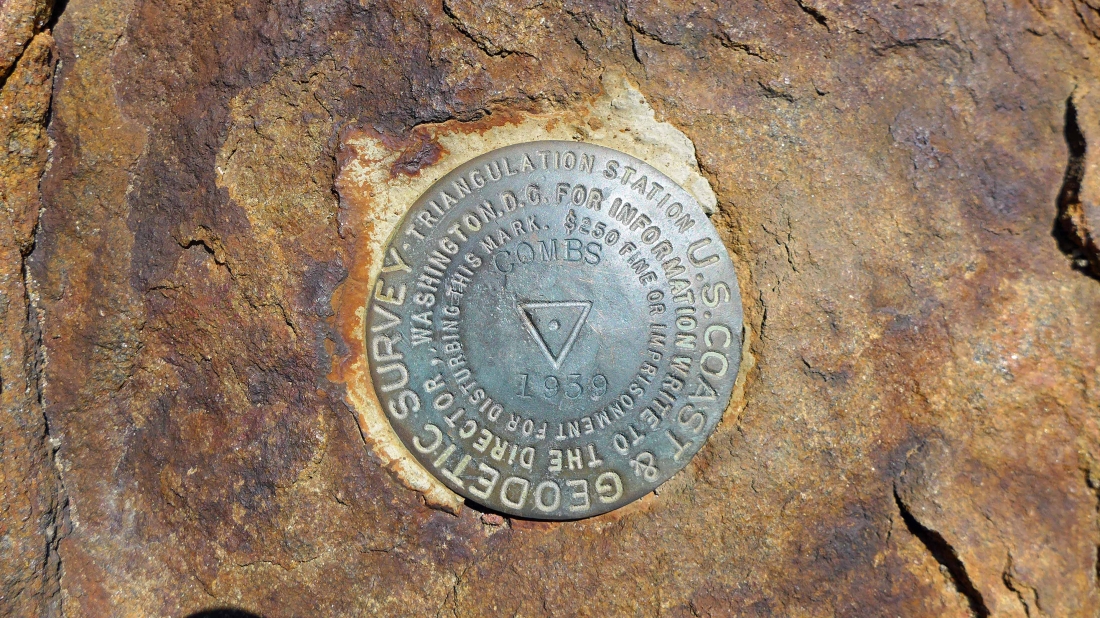
The summit benchmark was placed in 1939... it says that it will be a $250 fine or imprisonment if you disturb the benchmark... so we left it alone.
|
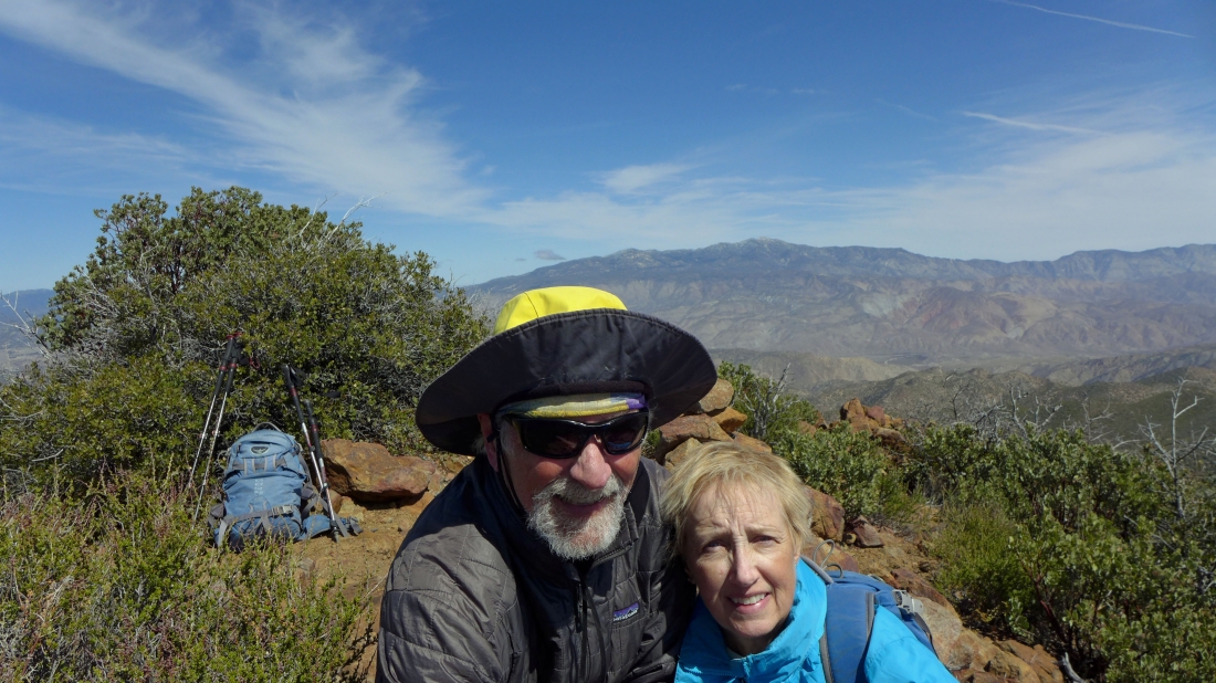
Summit selfie... the wind almost blew us off of the summit.
|
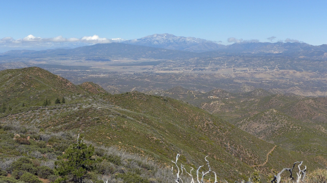
From the Combs summit we are looking north across Anza Valley to the broad, tree-covered Thomas Mountain and on out to the San Jacinto Mountains on the horizon.
|
Looking NW to Chihuahua Valley.
|
Looking SW to Chihuahua Valley.
|
From the Combs Peak summit we are looking east to the Santa Rosa Mountains... time to trace our steps back to the car... our trip was 4.6 miles roundtrip, gaining 1243 feet of elevation.
|
